Power Line Hill South
Total Miles
0.1
Technical Rating
Best Time
Spring, Summer, Fall, Winter
Trail Type
High-Clearance 4x4 Trail
Accessible By
Trail Overview
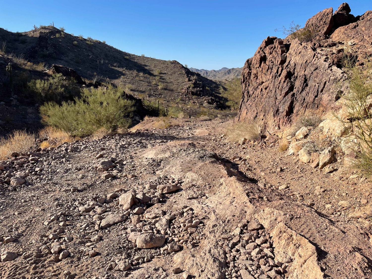
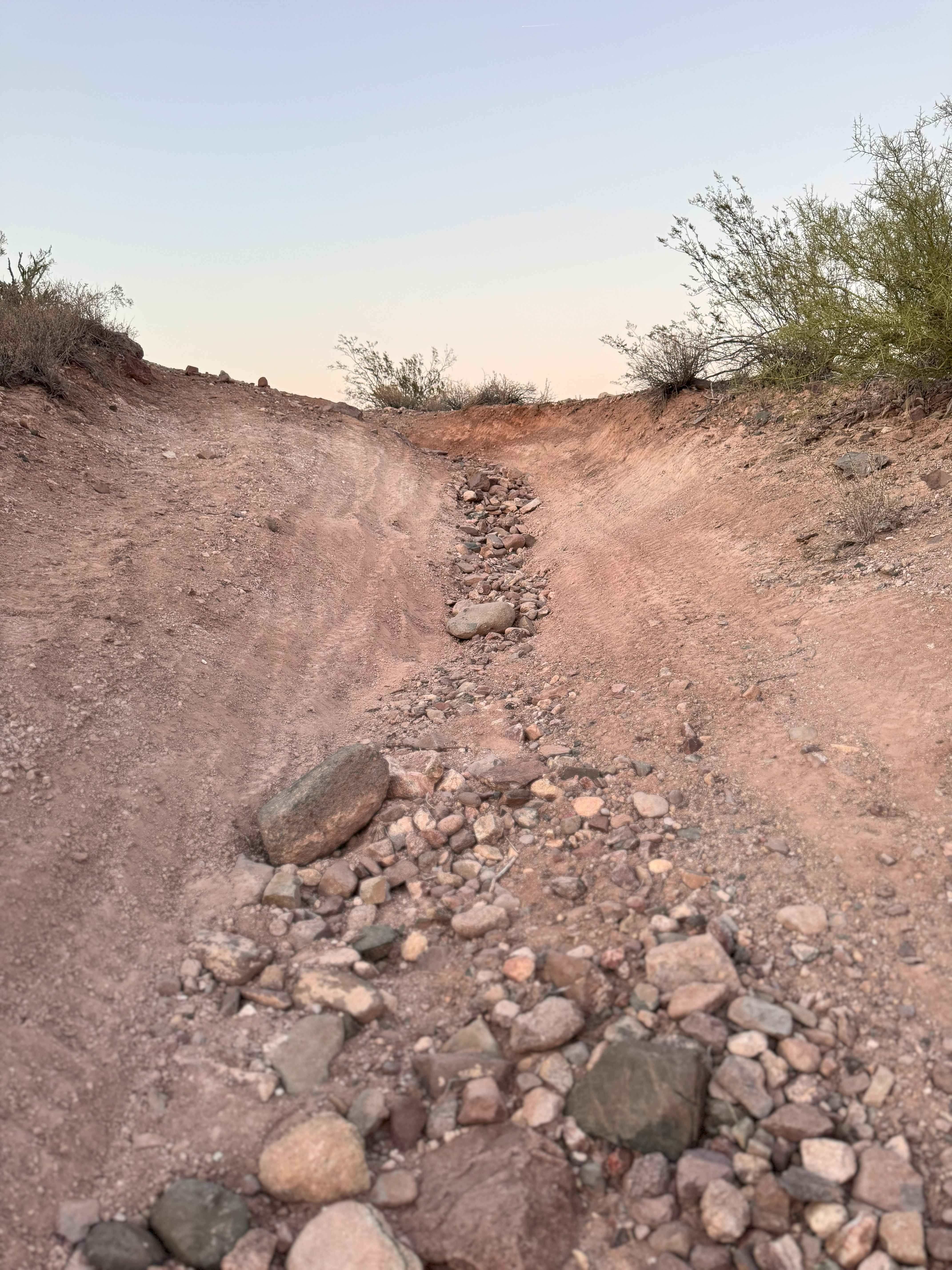
This hilltop overlook might be the highest vehicle-accessible hill in the whole area. If you choose to drive a machine up this hill, you should be extremely careful; there are sheer drop-offs on all sides, and one slip with the gas or brake pedal will have you rolling down the hillside several hundred feet. This trail is for experts only due to this exposure. There's very little room for turning around at the top--you will be doing a 4 to 7-point turn depending on your machine, while off-camber. If you're going up for photos, you might be best to do so on foot. The trail is also narrow in 2 places, too narrow and off-camber for a full-size vehicle.
Photos of Power Line Hill South
Difficulty
If you choose to drive a machine up this hill, you should be extremely careful; there are sheer drop-offs on all sides, and one slip with the gas or brake pedal will have you rolling down the hillside several hundred feet. This trail is for experts only due to this exposure. There's very little room for turning around at the top--you will be doing a 4 to 7-point turn depending on your machine, while off-camber. If you're going up for photos, you might be best to do so on foot. The trail is also narrow in 2 places, too narrow and off-camber for a full-size vehicle.
Status Reports
Power Line Hill South can be accessed by the following ride types:
- High-Clearance 4x4
- SxS (60")
- ATV (50")
Power Line Hill South Map
Popular Trails

V Loop out of the Washes

AZPT Preacher Pass Cutover Back to Main Trail

Bonanza Mine
The onX Offroad Difference
onX Offroad combines trail photos, descriptions, difficulty ratings, width restrictions, seasonality, and more in a user-friendly interface. Available on all devices, with offline access and full compatibility with CarPlay and Android Auto. Discover what you’re missing today!


