Smooth Transition
Total Miles
8.2
Technical Rating
Best Time
Spring, Summer, Fall
Trail Type
Full-Width Road
Accessible By
Trail Overview
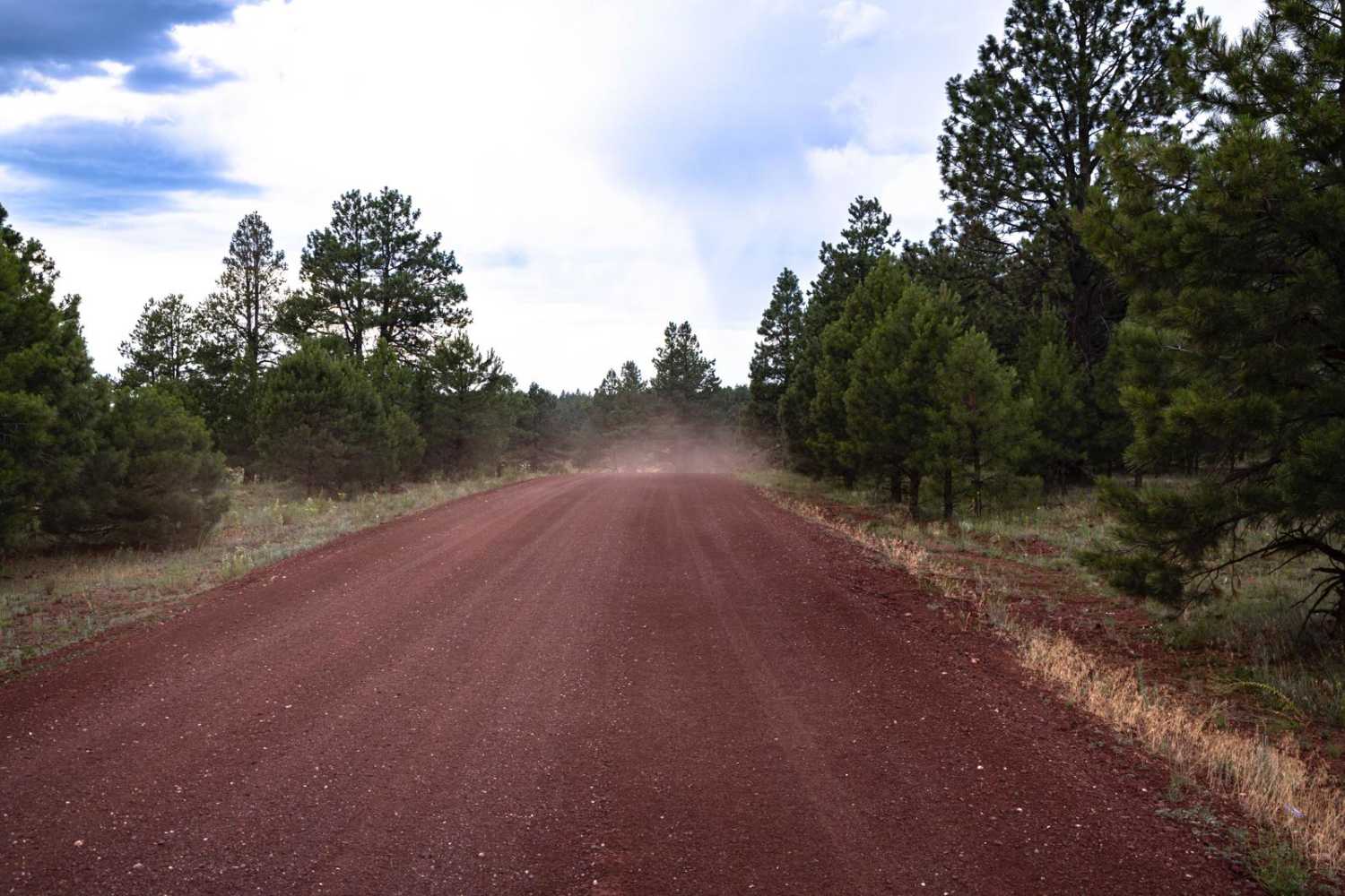
Smooth Transition is a mellow trail that transitions from the rocky lowlands up onto the plateau and vast expanses of the flats in this area of the Kaibab National Forest. There are some rocky sections along this trail, but most of the obstacles found when mapping were mud ruts and large puddles due to the monsoons happening. It skirts a burn scar from the recent Rabbit Fire. There are no major obstacles along this route, but no cell service either, so offline maps are recommended.
Photos of Smooth Transition
Difficulty
This is an unmaintained trail that heads through pasture and grassland. This track is shaped by the water of the monsoon season and could be challenging if visited during or after a rain event.
Status Reports
Smooth Transition can be accessed by the following ride types:
- High-Clearance 4x4
- SUV
- SxS (60")
- ATV (50")
- Dirt Bike
Smooth Transition Map
Popular Trails

Red Pockets Road & Poverty Cabin (1081)

89A House Rock North

Windmills Reach
The onX Offroad Difference
onX Offroad combines trail photos, descriptions, difficulty ratings, width restrictions, seasonality, and more in a user-friendly interface. Available on all devices, with offline access and full compatibility with CarPlay and Android Auto. Discover what you’re missing today!


