Sterling to AZ Peace Trail
Total Miles
3.4
Elevation
397.61 ft
Duration
0.75 Hours
Technical Rating
Best Time
Spring, Fall
Trail Overview
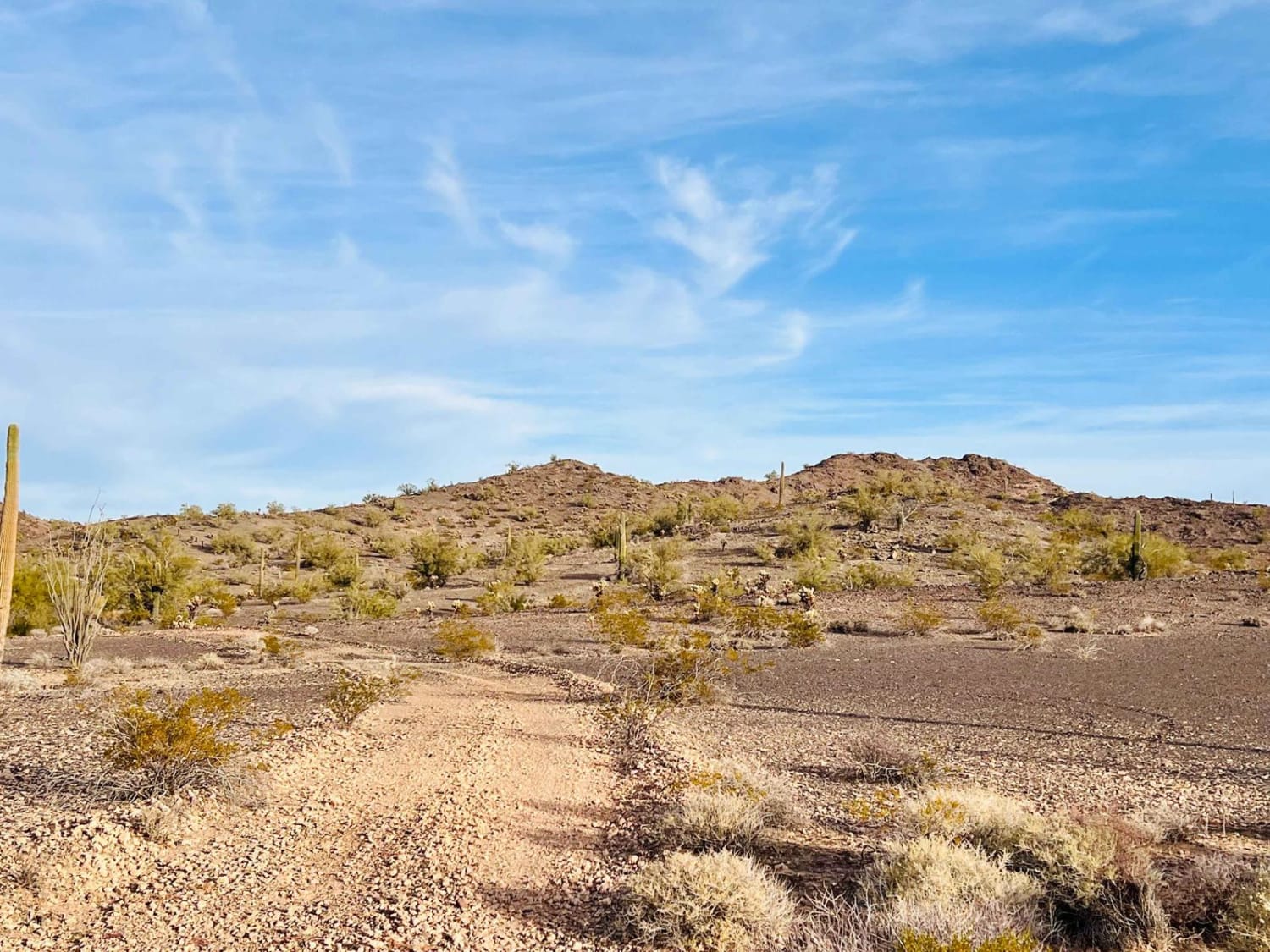
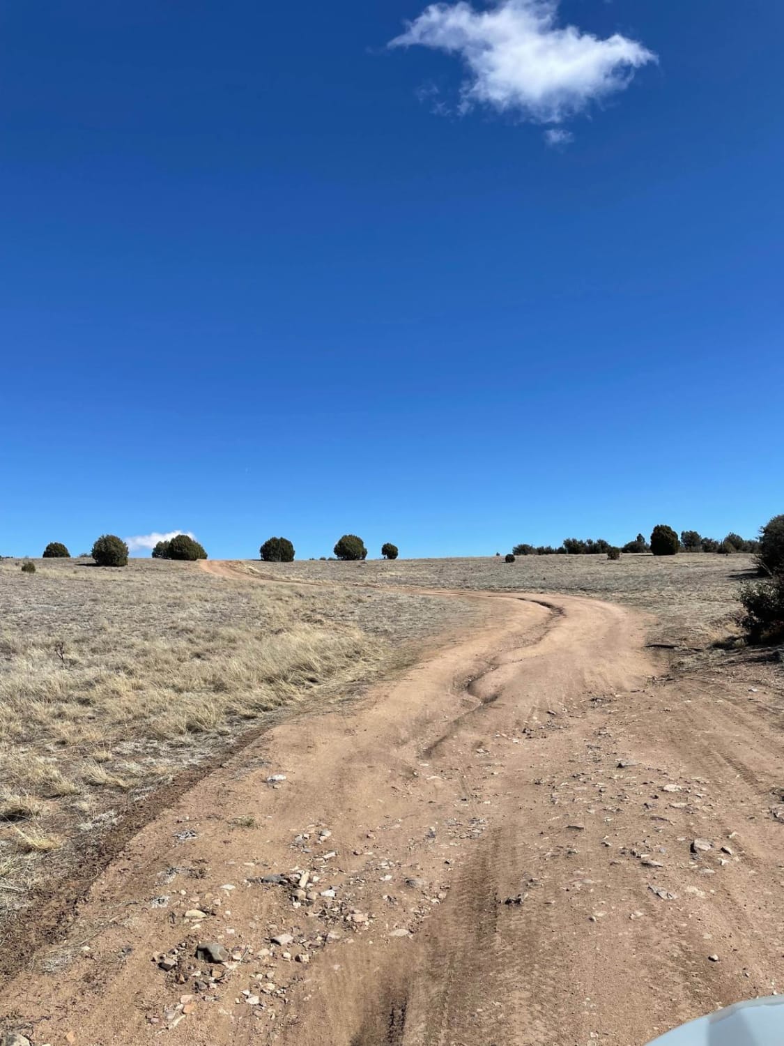
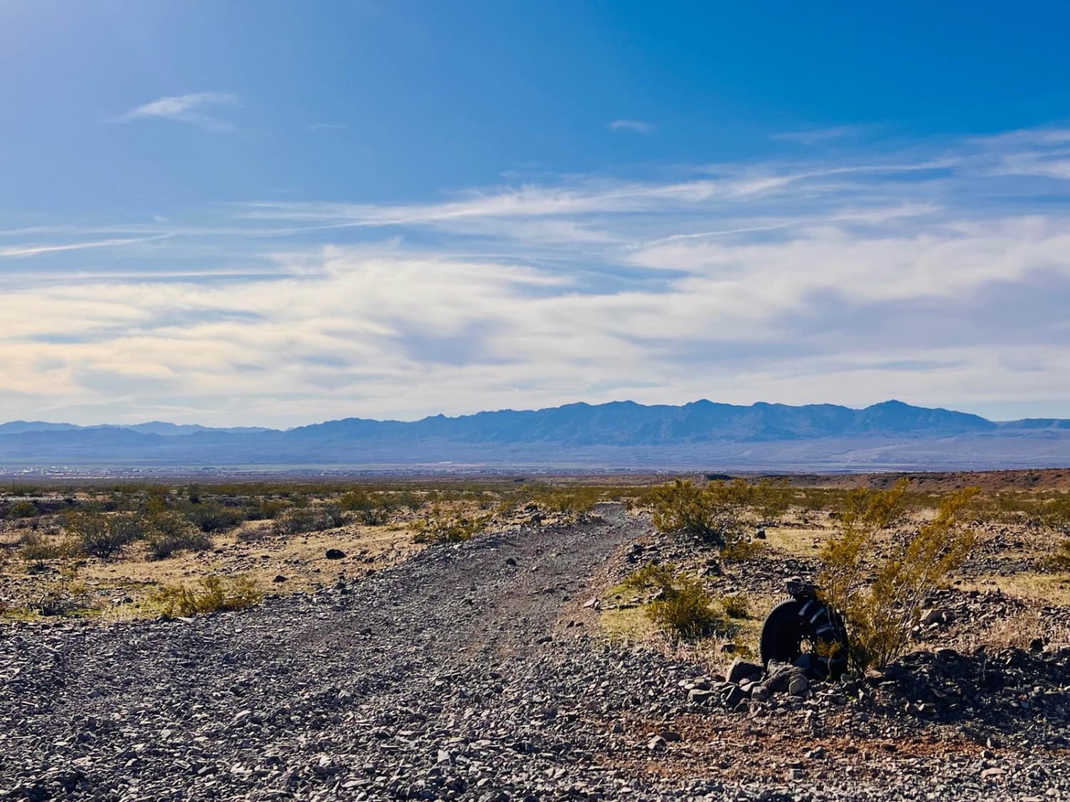
This trail begins in town on the edge of a neighborhood and connects to the AZPT trail. It picks up off of East Sterling Road in a turn and heads out into the desert. The beginning of this trail is bumpy from heavy SXS use, and there are signs of target shooting. Closer to town, quite a bit of trash has been left along the trail, either from people dumping or target shooting. Heading from town, the trail runs along a ridgeline and has a couple of washed-out transitions. The trail is narrow and has few official pull-offs. The further from town, the nicer this trail gets. The surface is mostly dirt, with some little rocks here and there. The scenery turns to more dark volcanic rock. A few nice open, dispersed campsites are far from the city and peaceful. There is 5G cell service at most of these camping areas. Pack in and pack out all trash. The trail turns to loose sandy gravel as it gets closer to the AZPT trail. This area can also get extremely hot in the summer months. Bring extra water and supplies if traveling during the summer.
Photos of Sterling to AZ Peace Trail
Difficulty
This trail has some loose sandy washes with lots of ruts from heavy SXS use. There is also a narrow ridge section with some deep transitions.
Status Reports
Popular Trails

9057 with a Mine

Washout Canyon

Dutchman Rim

Dodging Junipers
The onX Offroad Difference
onX Offroad combines trail photos, descriptions, difficulty ratings, width restrictions, seasonality, and more in a user-friendly interface. Available on all devices, with offline access and full compatibility with CarPlay and Android Auto. Discover what you’re missing today!

