Wilderness Edge
Total Miles
2.9
Elevation
592.70 ft
Duration
2 Hours
Technical Rating
Best Time
Spring, Summer, Fall, Winter
Trail Overview
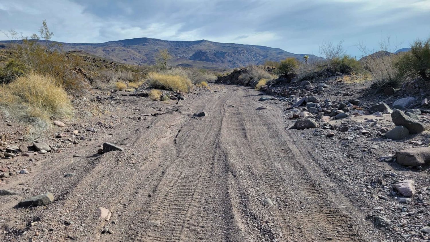
Wilderness Edge is an out-and-back wash trail that dead-ends at the very edge of the Warm Springs Wilderness. The distance is 3 miles to the end of the trail; 6 miles roundtrip. The route begins from off of McHeffy Wash trail. The terrain of the route is classic to that of any wash--loose sand/gravel, narrow vegetation that may likely brush the vehicle, and scattered rocky patches here and there. The stand-alone rocks on trail vary in sizes with some being upwards of 1-2 feet tall. Aside from that, the trail is predominately easy-going as it snakes its way through the desert. The scenery gradually becomes more beautiful with dramatic peaks in the distance the closer you get to the wilderness. The trail ultimately ends at the wilderness boundary marker where vehicle travel beyond is prohibited. Because this is a wash trail, if rain is forecasted, avoid this route due to the risk of flash flooding. Cell service eventually disappears the further you travel. Be sure to keep an eye out for the wild burrows that roam freely out here.
Photos of Wilderness Edge
Difficulty
The terrain of the route is classic to that of any wash--loose sand/gravel, narrow vegetation that may likely brush the vehicle, and scattered rocky patches here and there. The stand-alone rocks on trail vary in sizes with some being upwards of 1-2 feet tall. Aside from that, the trail is predominately easy-going as it snakes its way through the desert.
Status Reports
Popular Trails
North Vulture Peak Road
Maple Canyon to Stone Cabin (Black Rock Rd 1004)
Route 4253 Welton Kofa Road
Date Creek Ranch Road
The onX Offroad Difference
onX Offroad combines trail photos, descriptions, difficulty ratings, width restrictions, seasonality, and more in a user-friendly interface. Available on all devices, with offline access and full compatibility with CarPlay and Android Auto. Discover what you’re missing today!

