Woodchute Trail
Total Miles
5.5
Technical Rating
Best Time
Summer, Fall
Trail Type
Full-Width Road
Accessible By
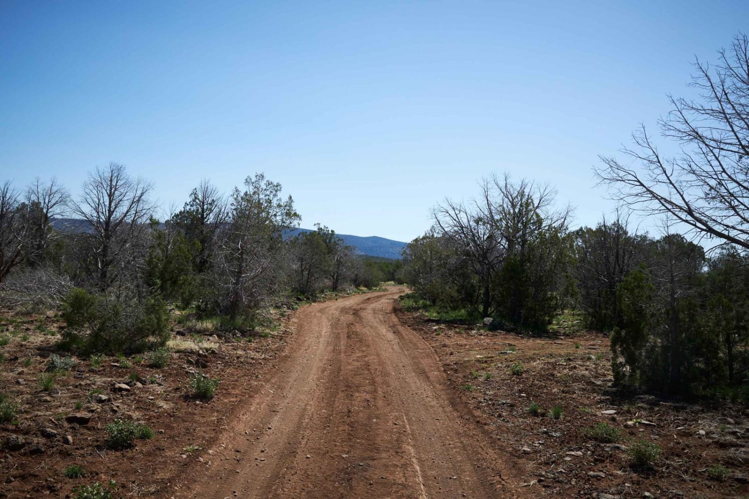
Trail Overview
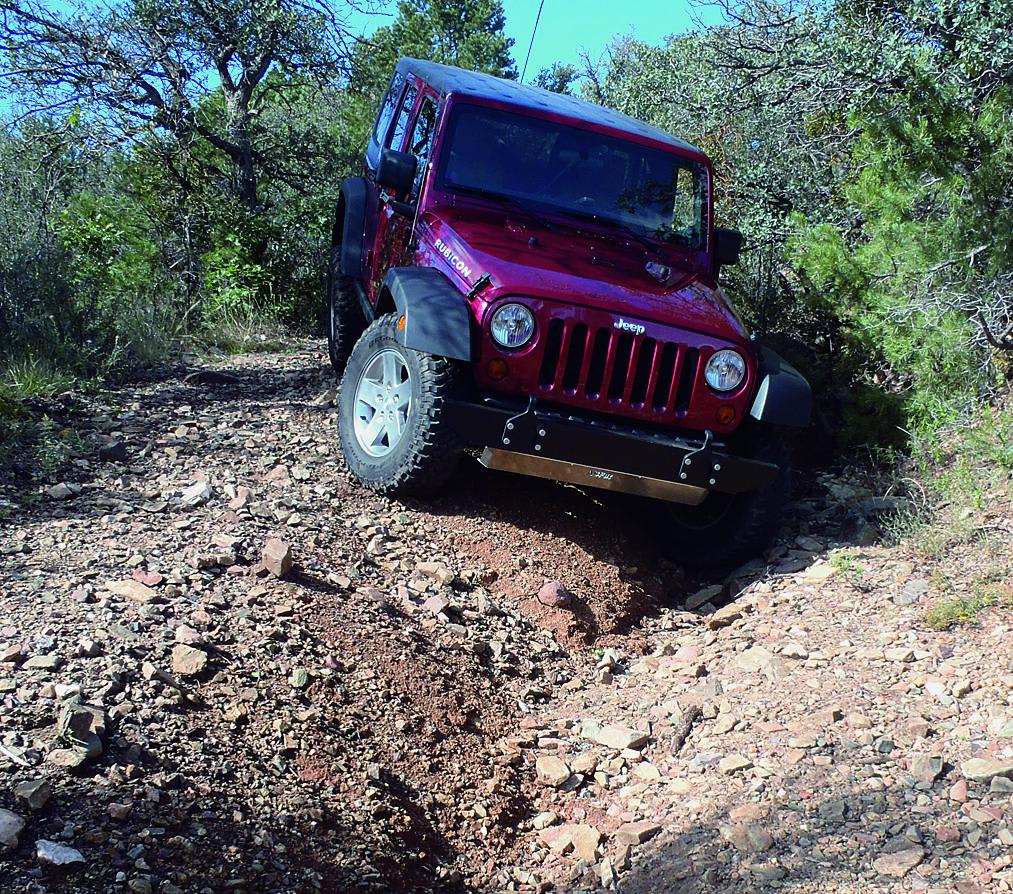
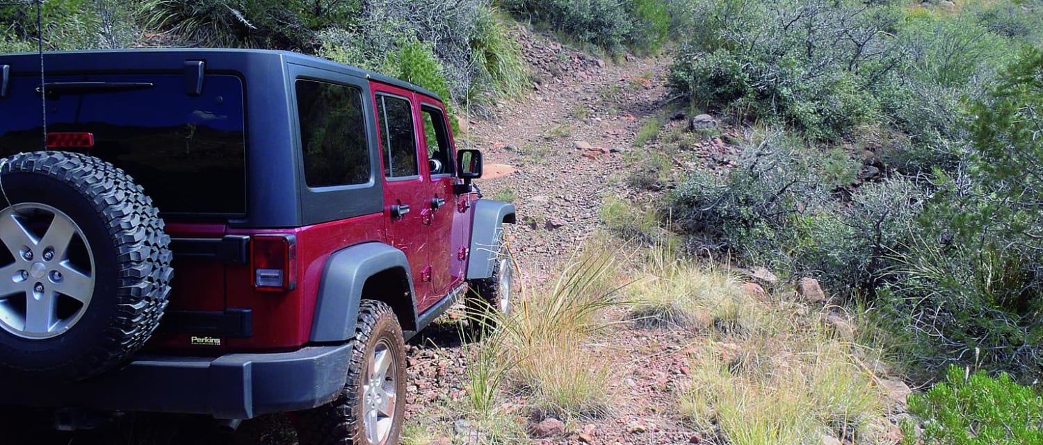
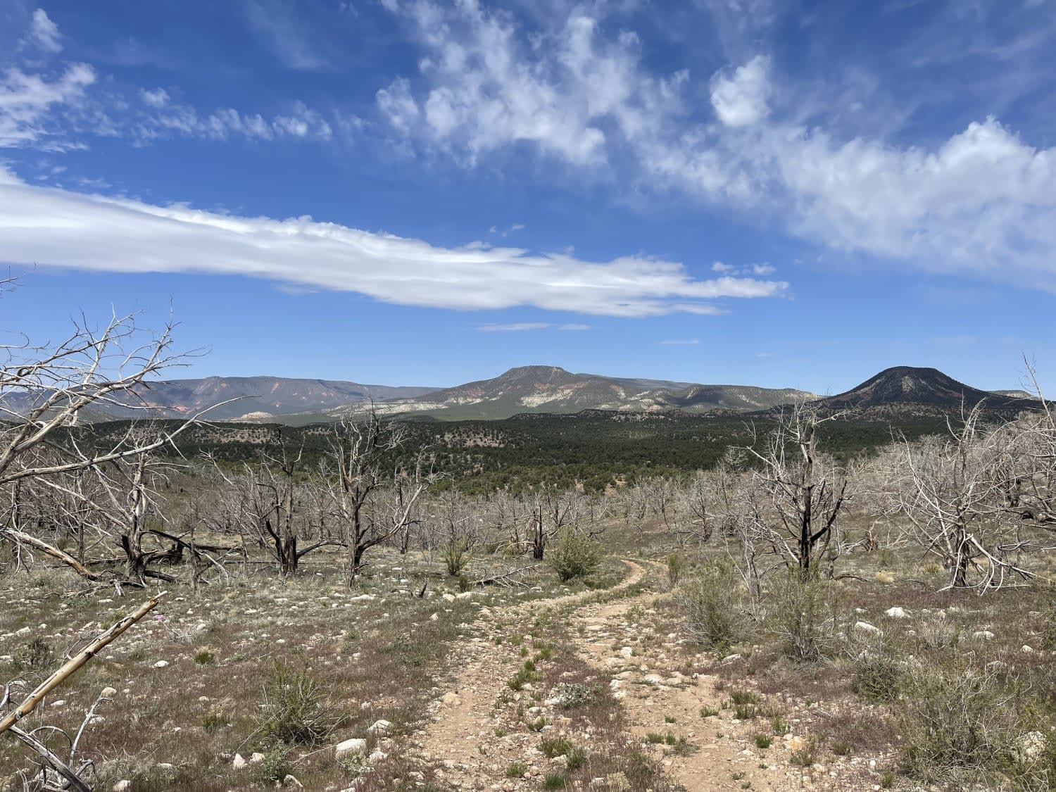
Start your route to Woodchute Trail by climbing through the historic minig town of Jerome, a bustling art and tourism hub with great restaurants. Continue on 89A to the base of Woodchute Mountain at 7,860 feet. You'll keep climbing up Woodchute and then enjoy a twisty, windy trail. Take a break to step through the trees and witness the gorgeous views of Verde Valley. This is a fun trail for ATVs and side-by-sides.
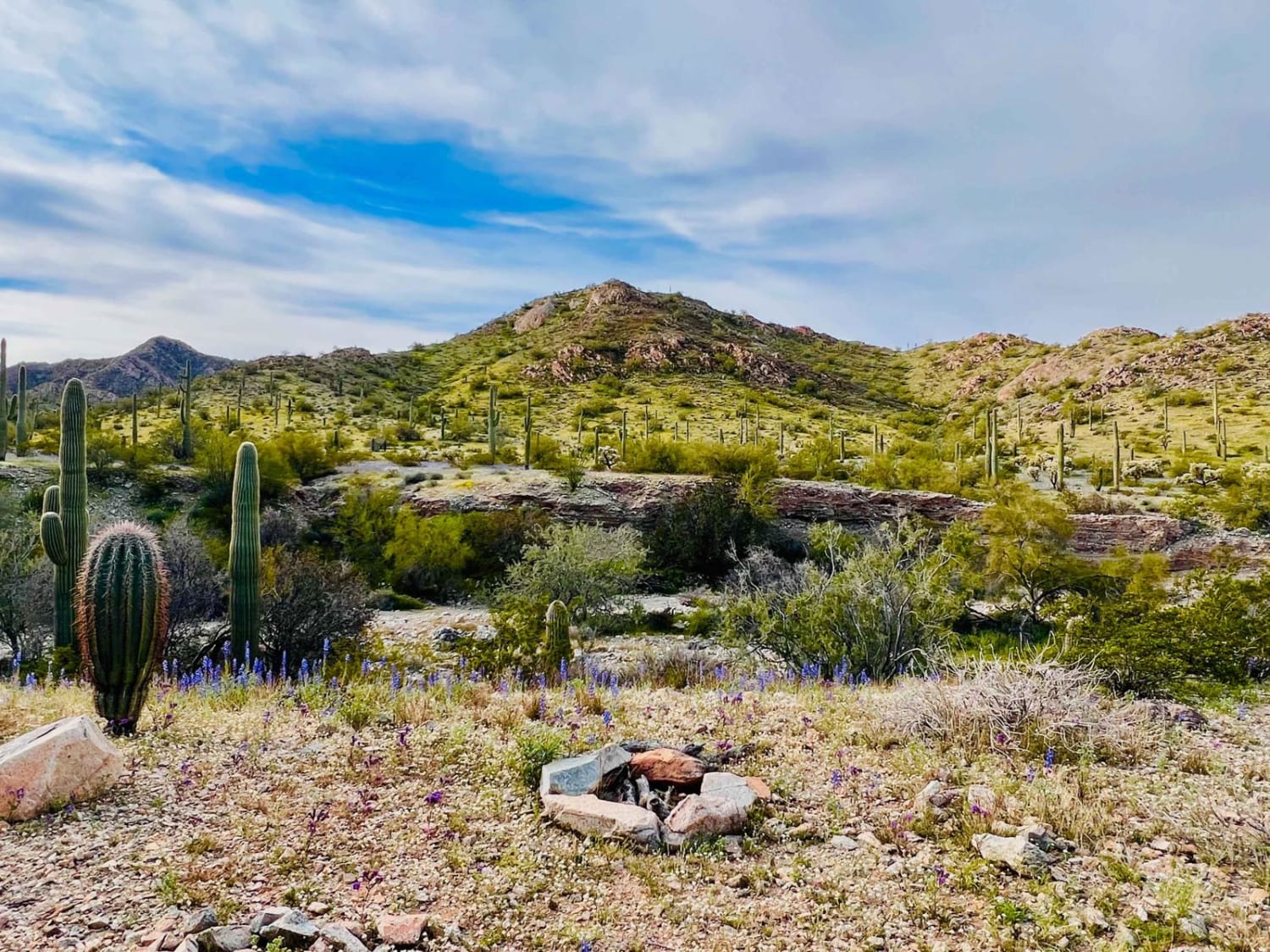
Photos of Woodchute Trail
Difficulty
Moderate: Rutted, steep, and narrow with tight brush and tippy spots. Suitable for stock SUVs with high ground clearance and low-range gearing. Expect brush marks.
Status Reports
Woodchute Trail can be accessed by the following ride types:
- High-Clearance 4x4
- SUV
- SxS (60")
- ATV (50")
- Dirt Bike
Woodchute Trail Map
Popular Trails
Telephone Cove
Canyon Camp Loop Ajo
The onX Offroad Difference
onX Offroad combines trail photos, descriptions, difficulty ratings, width restrictions, seasonality, and more in a user-friendly interface. Available on all devices, with offline access and full compatibility with CarPlay and Android Auto. Discover what you’re missing today!