Off-Road Trails in California

Discover off-road trails in California

Learn more about Los Pinos Mtn. Loop
Los Pinos Mtn. Loop

Los Pinos Mtn. Loop

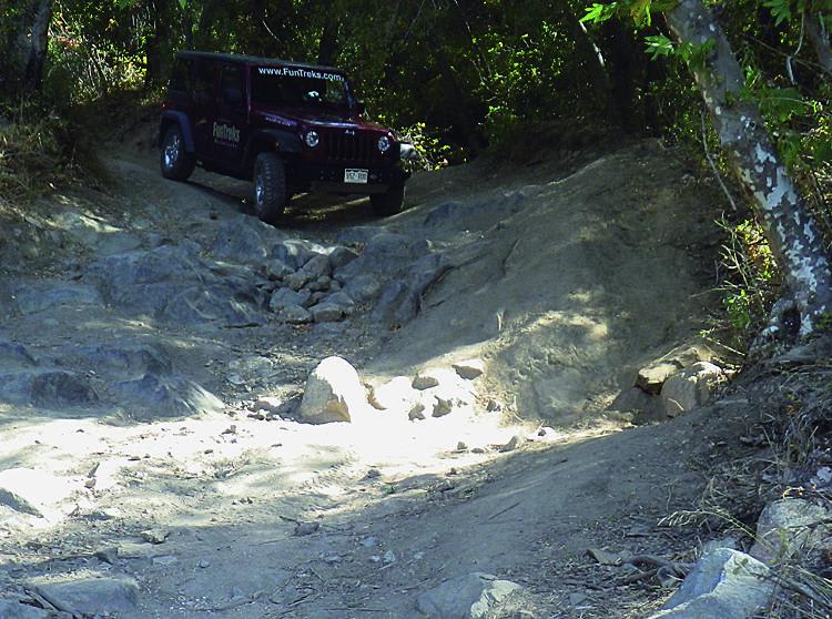
Since our last visit in 2002, the first part of this loop-to the fire lookout tower-has been paved. ATVs are not allowed on this portion. The remainder of the loop is all dirt as it…
Learn more about Los Pinos Mtn. Loop
Total Miles
18.9
Tech Rating
4 Moderate
Best Time
Spring, Fall
Learn more about Lower Blythe Olgilby
Lower Blythe Olgilby

Lower Blythe Olgilby

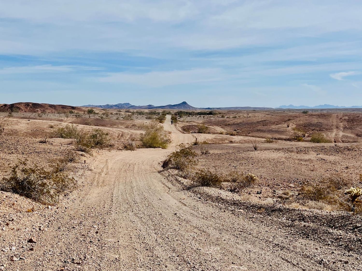
The trail is a combo of wide-graded sections and soft sandy washes. Some sand sections are deeper and longer than others, so airing down is always a good idea. The lower section of the trail…
Learn more about Lower Blythe Olgilby
Total Miles
16.6
Tech Rating
3 Easy
Best Time
Spring, Fall
Learn more about Lower Kessler Peak Trail
Lower Kessler Peak Trail

Lower Kessler Peak Trail

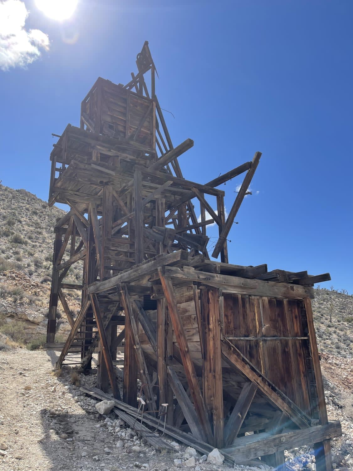
This easier southern section of the trail has a few interesting sights to see along the way. Near the northern section, there's a small pull-off featuring a small graveyard. More research is needed, but I…
Learn more about Lower Kessler Peak Trail
Total Miles
4.0
Tech Rating
4 Moderate
Best Time
Winter, Fall, Spring
Learn more about Lower Larga Flats 2N06X
Lower Larga Flats 2N06X

Lower Larga Flats 2N06X

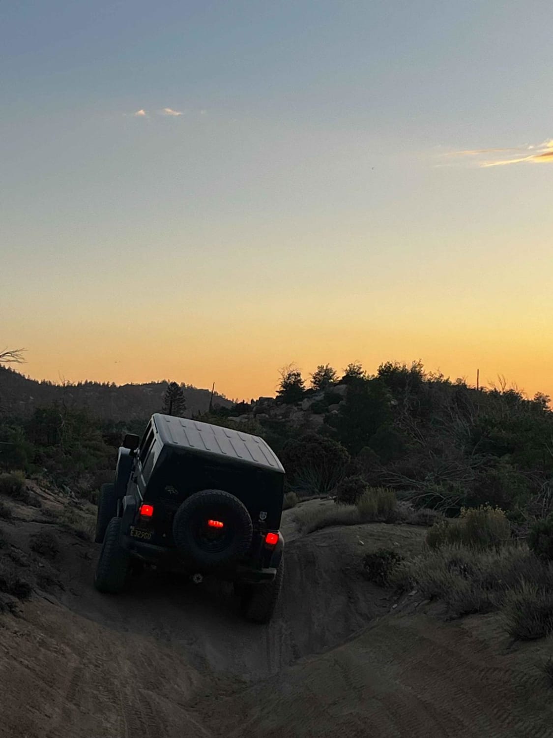
This is a fairly technical trail, but an easier option than the Holcomb Creek (3N93) rock garden that would follow when running from east to west. There are plenty of off-camber areas with large rocks…
Learn more about Lower Larga Flats 2N06X
Total Miles
3.2
Tech Rating
5 Moderate
Best Time
Summer, Fall, Spring, Winter
Learn more about Lower Murano Road
Lower Murano Road

Lower Murano Road

It's a generally sandy two-track trail with plenty of bermed corners and some deeper washouts. The trail progresses and crosses through some impressive large rocks. Watch for desert tortoises and military planes buzzing the deck…
Learn more about Lower Murano Road
Total Miles
3.3
Tech Rating
3 Easy
Best Time
Winter, Fall, Spring
Learn more about Luna Mountain Crossover
Luna Mountain Crossover

Luna Mountain Crossover

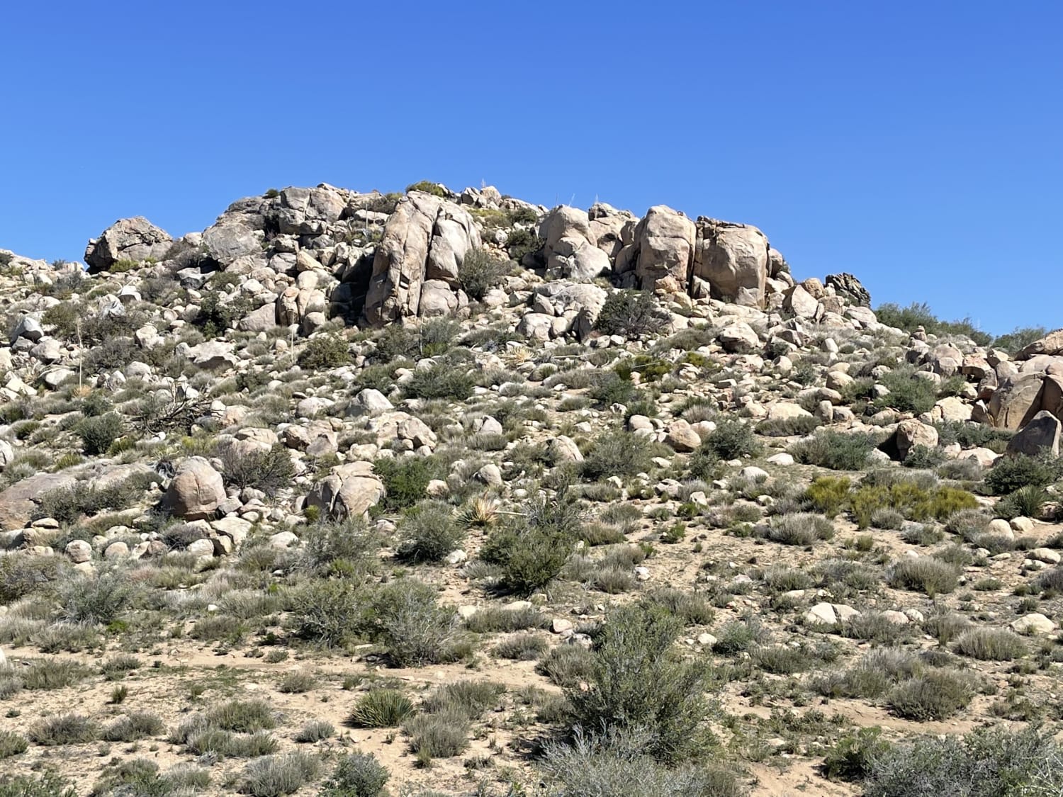
This challenging section of trail has outstanding views. There are steep bouldery shelves that are incredibly rutted out, hill climbs and descents, access to hiking trails, and single-track routes and challenges. This trail will test…
Learn more about Luna Mountain Crossover
Total Miles
3.5
Tech Rating
5 Moderate
Best Time
Fall, Summer, Spring
Learn more about Mahogany
Mahogany

Mahogany

Mahogany has a lot of off-camber sections. Some rock sections aren't too bad, but there's a possible water crossing on the trail to be aware of. It's a fairly moderate single track with some great…
Learn more about Mahogany
Total Miles
3.0
Tech Rating
4 Moderate
Best Time
Summer
Learn more about Main Staging Area Into the Desert
Main Staging Area Into the Desert

Main Staging Area Into the Desert

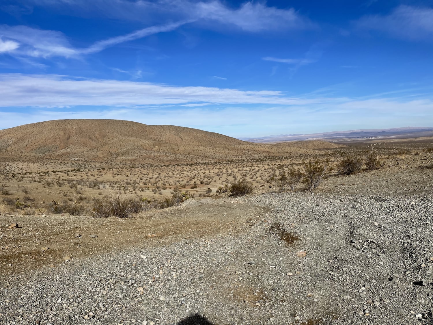
This trail begins at the main staging area near the pit toilets and the gated rock quarry. The main trail begins with big hard packed wide rolling hills. Once you cut onto the side trail,…
Learn more about Main Staging Area Into the Desert
Total Miles
3.0
Tech Rating
4 Moderate
Best Time
Winter, Fall, Spring
Learn more about Mammoth Knolls 3S4C
Mammoth Knolls 3S4C

Mammoth Knolls 3S4C

This short out-and-back trail brings you into a pine tree-covered area and a small dispersed campsite. It does offer some coverage from wind. There can be snow covering this road in the early spring after…
Learn more about Mammoth Knolls 3S4C
Total Miles
0.4
Tech Rating
2 Easy
Best Time
Spring, Summer, Fall
Learn more about Mammoth Knolls Summit and Viewpoint
Mammoth Knolls Summit and Viewpoint

Mammoth Knolls Summit and Viewpoint

This short spur trail takes you to the top of Mammoth Knolls (8776 ft). It offers almost 360-degree views of various peaks and the town of Mammoth Lakes. It is relatively sandy with a few…
Learn more about Mammoth Knolls Summit and Viewpoint
Total Miles
0.1
Tech Rating
1 Easy
Best Time
Summer, Fall, Spring
Learn more about Mammoth Lakes Overlook
Mammoth Lakes Overlook

Mammoth Lakes Overlook

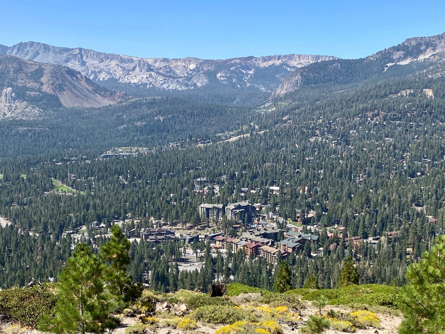
This is an incredibly scenic trail that takes you high above the town of Mammoth Lakes. The trail starts near the New Shady Rest campground and soon climbs in elevation. The trail starts off as…
Learn more about Mammoth Lakes Overlook
Total Miles
9.4
Tech Rating
3 Easy
Best Time
Summer, Spring
Learn more about Mammoth Mountain Trail 1
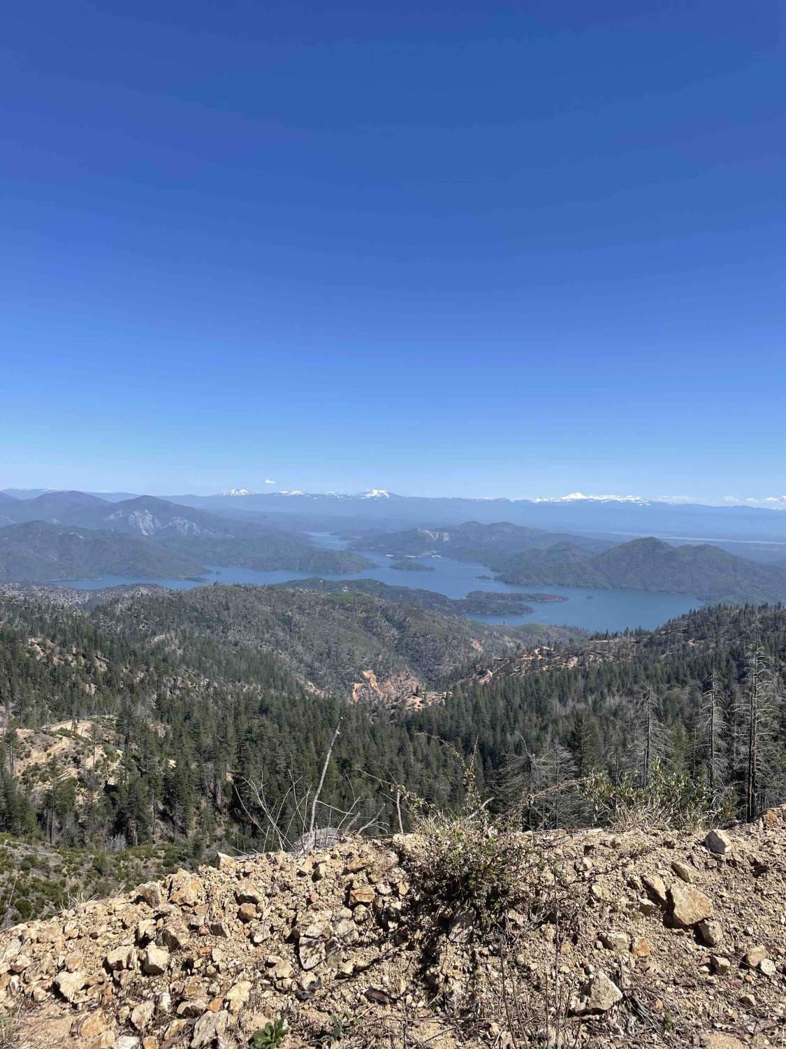
Mammoth Mountain Trail 1

Mammoth Mountain Trail 1

This is a wide-open easy trail from the Chappie staging area, past Mammoth Mountain, to a lunch spot. It's easy for all riding abilities, with a ton of overlooks along the way. During the spring,…
Learn more about Mammoth Mountain Trail 1
Total Miles
15.9
Tech Rating
2 Easy
Best Time
Spring, Fall, Summer
Learn more about Mammoth View 3S34
Mammoth View 3S34

Mammoth View 3S34

This is a mile-long Mammoth View cliff trail. It offers views of Mammoth Mountain as well as the picturesque town of Mammoth Lakes. It is mostly sandy with some rocky sections. There are a few…
Learn more about Mammoth View 3S34
Total Miles
1.0
Tech Rating
3 Easy
Best Time
Fall, Summer, Spring
Learn more about Manzanita Slope Loop
Manzanita Slope Loop

Manzanita Slope Loop

This trail is a relatively easy trail. It is mostly sandy with a few rocky sections to navigate. There are a few fallen trees that you can go around. The area is full of pine…
Learn more about Manzanita Slope Loop
Total Miles
3.9
Tech Rating
2 Easy
Best Time
Summer, Spring, Fall
Learn more about Maple Spring Road
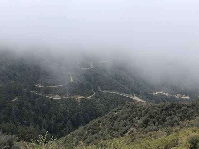
Maple Spring Road

Maple Spring Road

Maple Springs road offers a fun, relatively easy route with scenic views of the Cleveland National Forest. Vehicles should have some ground clearance. At the end of the trail is an elevated patch of asphalt…
Learn more about Maple Spring Road
Total Miles
12.2
Tech Rating
3 Easy
Best Time
Winter, Summer, Fall, Spring
Learn more about Matheson Trams
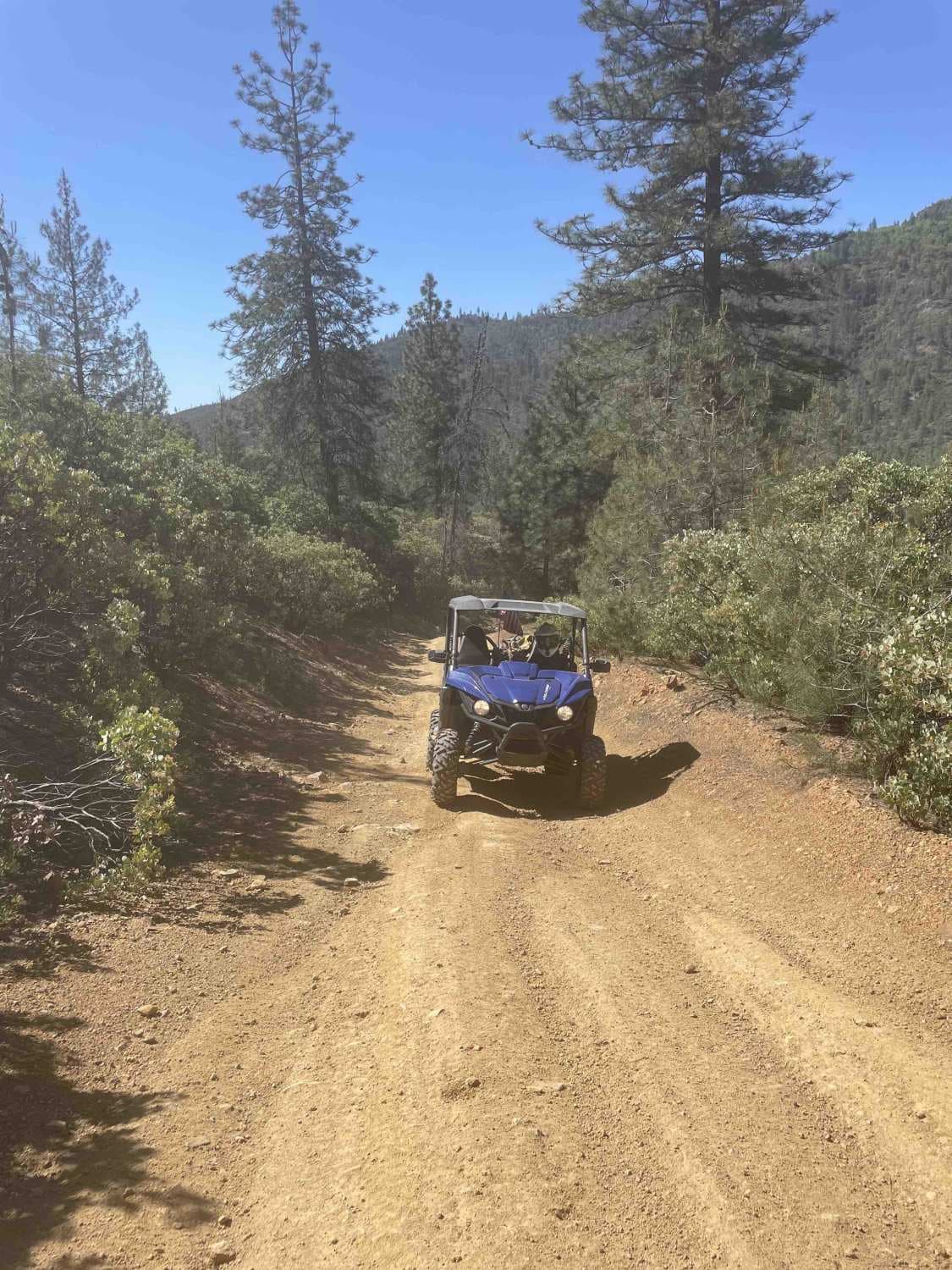
Matheson Trams

Matheson Trams

This is a fantastic trail located in the Chappie OHV area. Expect beautiful views and a nice trail that can be done in a stock UTV, dirt bike, or 4-wheeler. Be sure to stop and…
Learn more about Matheson Trams
Total Miles
15.1
Tech Rating
5 Moderate
Best Time
Spring, Summer, Fall
Learn more about Maxwell Road
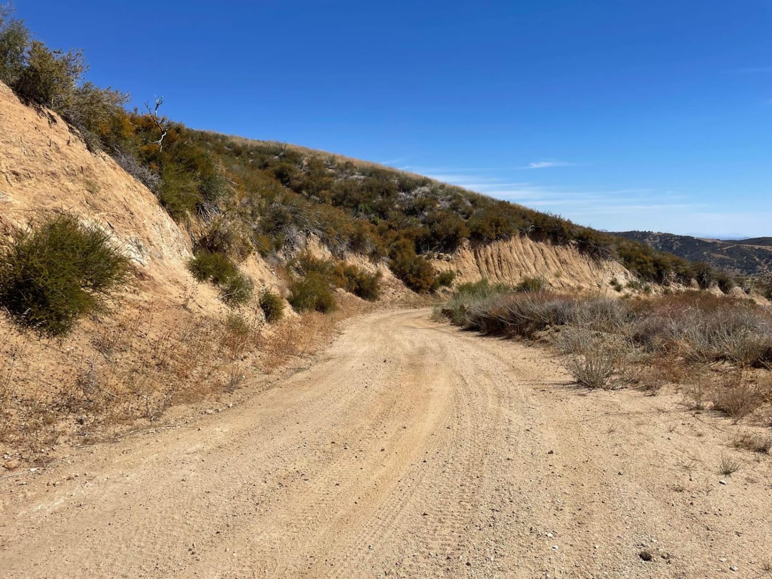
Maxwell Road

Maxwell Road

This is an off-road connector between Lake Hughes Road and the Liebre Mountain and Sawmill Motor Way (USFS Route 7N23). It takes you through the western Sierra Pelona Range, which is the lower elevation mountain…
Learn more about Maxwell Road
Total Miles
10.0
Tech Rating
2 Easy
Best Time
Spring, Summer, Fall
Learn more about Mazourka Canyon
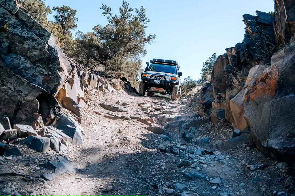
Mazourka Canyon

Mazourka Canyon

Starts off easy from Independence to Badger Flat. After which it turns into a very rocky adventure with many angled ledges and some narrow sections. Do not attempt to continue past Badger Flat without high…
Learn more about Mazourka Canyon
Total Miles
35.9
Tech Rating
6 Moderate
Best Time
Spring, Summer, Fall, Winter
Learn more about McCain Valley Road
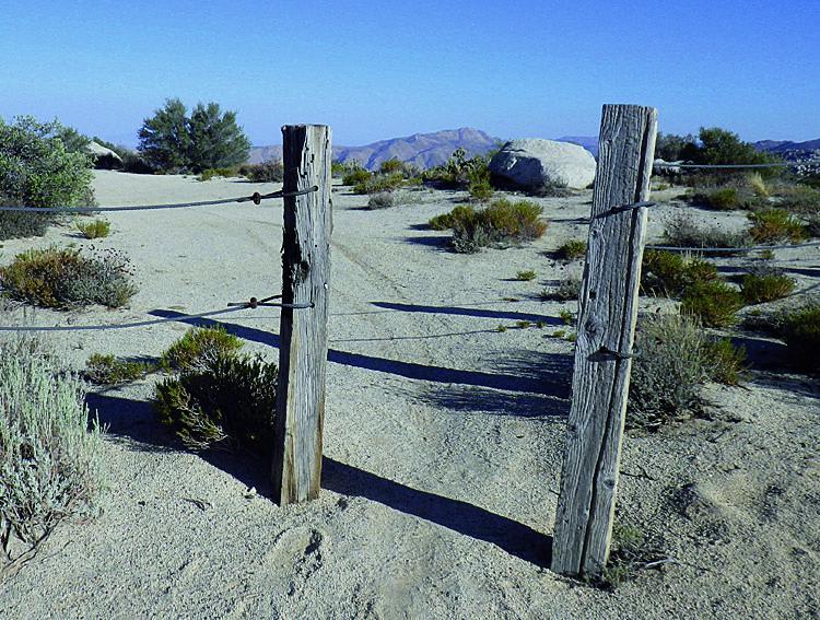
McCain Valley Road

McCain Valley Road

Scenic high desert drive with two overlooks of Carrizo Canyon. Corrizo Overlook, with picnic tables, makes great lunch spot. Take binoculars. Fun hiking trails. Overnight camping at Lark Canyon Recreation Site, fee area. Street-legal vehicles…
Learn more about McCain Valley Road
Total Miles
13.7
Tech Rating
2 Easy
Best Time
Spring, Summer, Fall, Winter
Learn more about McCloud River 38N53
McCloud River 38N53

McCloud River 38N53

While the trail is an easy dirt road the real story is the river. The Lower McCloud River flows approximately 12 miles from Lake McCloud into Lake Shasta. It can have an emerald green color,…
Learn more about McCloud River 38N53
Total Miles
7.2
Tech Rating
2 Easy
Best Time
Summer, Fall

The onX Offroad Difference

onX Offroad combines trail photos, descriptions, difficulty ratings, width restrictions, seasonality, and more in a user-friendly interface. Available on all devices, with offline access and full compatibility with CarPlay and Android Auto. Discover what you’re missing today!