Off-Road Trails in California

Discover off-road trails in California
Trail Length
Best Time of Year
Sort By
We can’t find any trails
Learn more about The Highest Peak of the Sierra Pelona
The Highest Peak of the Sierra Pelona
Total Miles
5.9
Tech Rating
Easy
Best Time
Spring, Fall, Summer
Learn more about The Main North to South Access Wash
The Main North to South Access Wash
Total Miles
2.3
Tech Rating
Easy
Best Time
Fall, Winter, Spring
Learn more about The Mojave Road Temporary Re-Route
The Mojave Road Temporary Re-Route
Total Miles
5.9
Tech Rating
Easy
Best Time
Spring, Fall, Winter
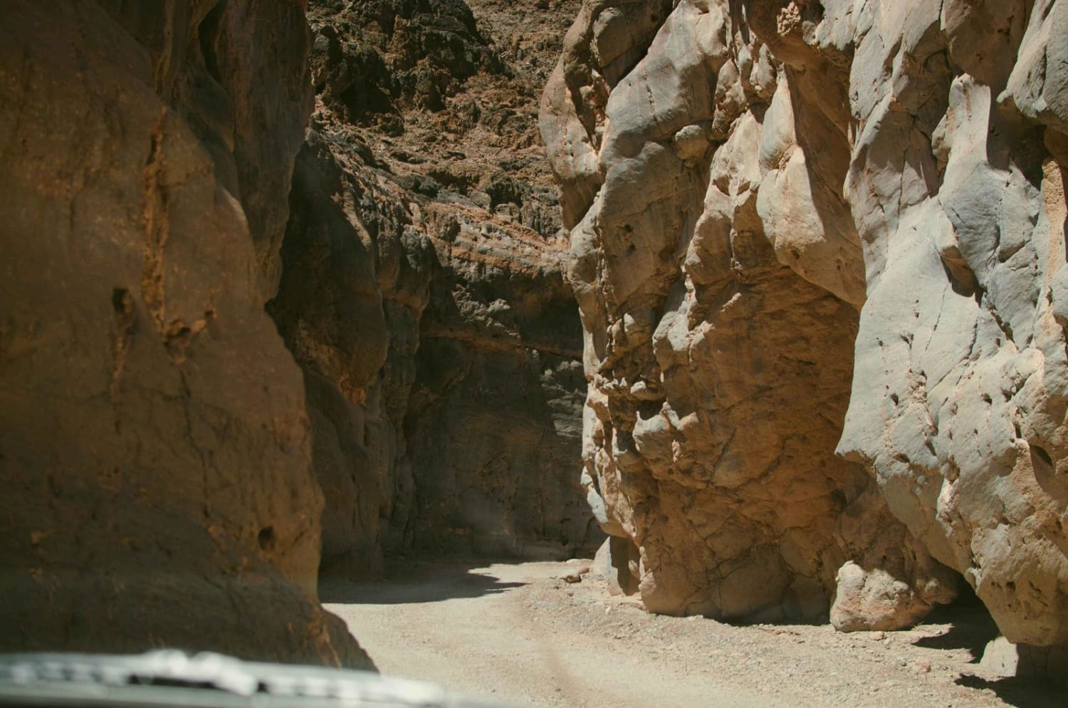
Learn more about The Narrows
The Narrows
Total Miles
9.6
Tech Rating
Moderate
Best Time
Spring, Fall, Winter
Learn more about The Outs

The Outs
Total Miles
2.7
Tech Rating
Moderate
Best Time
Winter, Fall, Spring
Learn more about The Reward Mine

The Reward Mine
Total Miles
0.7
Tech Rating
Moderate
Best Time
Spring, Fall, Summer
Learn more about The Road Not to the Top of Sugarloaf
The Road Not to the Top of Sugarloaf
Total Miles
1.3
Tech Rating
Easy
Best Time
Winter, Fall, Spring
Learn more about The Road to Nowhere
The Road to Nowhere
Total Miles
2.0
Tech Rating
Moderate
Best Time
Summer, Fall
Learn more about The Rocky Narrows
The Rocky Narrows
Total Miles
14.7
Tech Rating
Moderate
Best Time
Summer, Fall

Learn more about The Trek to McIver's Cabin
The Trek to McIver's Cabin
Total Miles
20.5
Tech Rating
Moderate
Best Time
Spring, Summer, Fall
Learn more about The Uncivilized Trona Road

The Uncivilized Trona Road
Total Miles
1.6
Tech Rating
Moderate
Best Time
Winter, Fall, Spring
Learn more about Thimble Trail
Thimble Trail
Total Miles
2.1
Tech Rating
Easy
Best Time
Summer, Spring, Fall, Winter
Learn more about Thomas Hunting Grounds
Thomas Hunting Grounds
Total Miles
11.7
Tech Rating
Easy
Best Time
Spring, Summer, Fall
Learn more about Thomas Mountain West Approach
Thomas Mountain West Approach
Total Miles
2.7
Tech Rating
Easy
Best Time
Spring, Fall, Winter
Learn more about Thor's Hammer
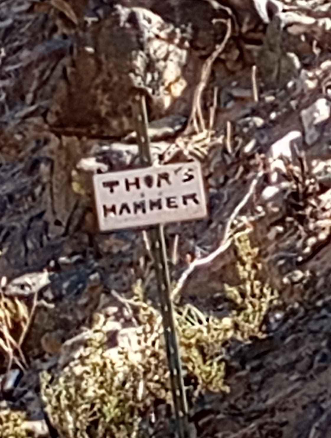
Thor's Hammer
Total Miles
0.6
Tech Rating
Difficult
Best Time
Spring, Summer, Fall, Winter
Learn more about Tierra del Sol

Tierra del Sol
Total Miles
7.7
Tech Rating
Easy
Best Time
Spring, Summer, Fall, Winter
Learn more about Titus Canyon
Titus Canyon
Total Miles
26.4
Tech Rating
Easy
Best Time
Fall, Winter, Spring
Learn more about To the Edge and Back
To the Edge and Back
Total Miles
3.5
Tech Rating
Moderate
Best Time
Winter, Fall, Spring
The onX Offroad Difference
onX Offroad combines trail photos, descriptions, difficulty ratings, width restrictions, seasonality, and more in a user-friendly interface. Available on all devices, with offline access and full compatibility with CarPlay and Android Auto. Discover what you’re missing today!