Off-Road Trails in California

Discover off-road trails in California
Trail Length
Best Time of Year
Sort By
We can’t find any trails
Learn more about Sunbonnet Pass
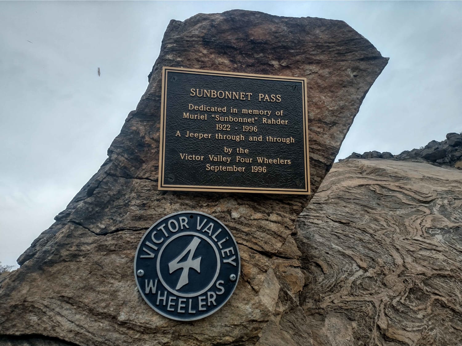
Sunbonnet Pass
Total Miles
1.4
Tech Rating
Difficult
Best Time
Winter, Fall, Summer, Spring
Learn more about Swamp Lake
Swamp Lake
Total Miles
14.4
Tech Rating
Difficult
Best Time
Summer, Fall
Learn more about Swansea-Cerro Gordo Road
Swansea-Cerro Gordo Road
Total Miles
31.6
Tech Rating
Moderate
Best Time
Summer
Learn more about Tack Hammer
Tack Hammer
Total Miles
0.8
Tech Rating
Moderate
Best Time
Spring, Fall, Winter
Learn more about Tamarack Lakes 12E33
Tamarack Lakes 12E33
Total Miles
1.0
Tech Rating
Easy
Best Time
Spring, Summer, Fall
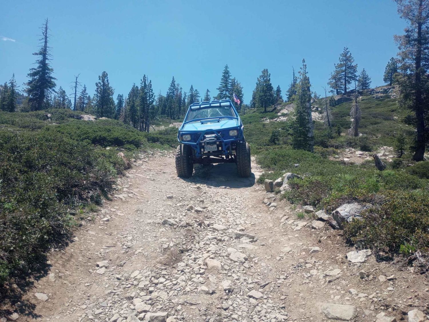
Learn more about Tanglefoot Canyon
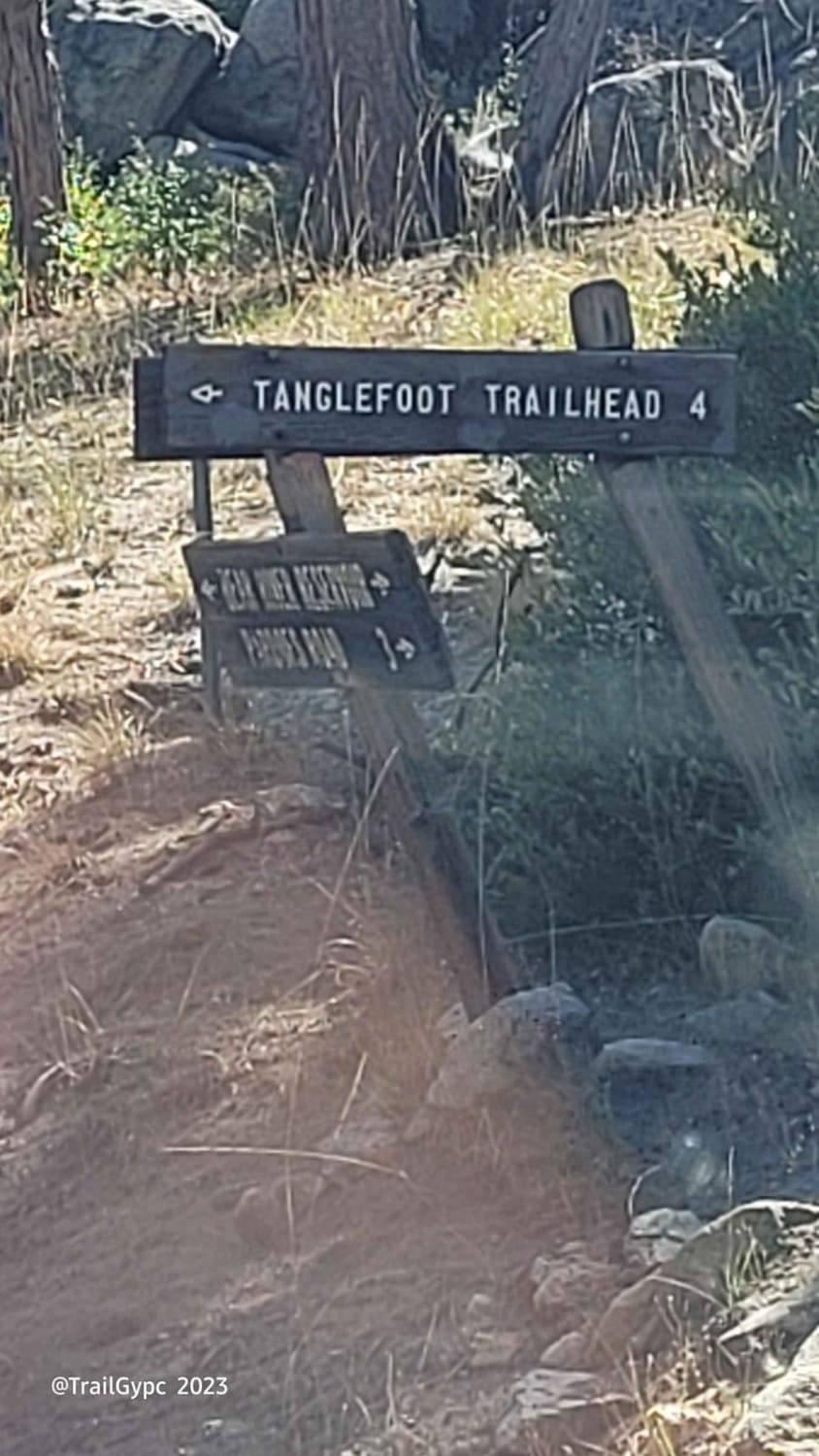
Tanglefoot Canyon
Total Miles
3.7
Tech Rating
Easy
Best Time
Spring, Summer, Fall
Learn more about Tarantula Wash

Tarantula Wash
Total Miles
6.7
Tech Rating
Easy
Best Time
Spring, Summer, Fall, Winter
Learn more about Tassajara
Tassajara
Total Miles
14.0
Tech Rating
Easy
Best Time
Summer, Spring, Fall
Learn more about Taylor Lake/Lucky S Mine/Kettle Rock Lookout Loop
Taylor Lake/Lucky S Mine/Kettle Rock Lookout Loop
Total Miles
19.0
Tech Rating
Easy
Best Time
Spring, Summer, Fall
Learn more about Teagle Wash Road
Teagle Wash Road
Total Miles
5.6
Tech Rating
Easy
Best Time
Spring, Summer, Fall
Learn more about Technical Rip Along Trona Road
Technical Rip Along Trona Road
Total Miles
2.7
Tech Rating
Moderate
Best Time
Winter, Fall, Spring
Learn more about Tectonic Gorge Trail

Tectonic Gorge Trail
Total Miles
5.8
Tech Rating
Easy
Best Time
Spring, Summer, Fall, Winter
Learn more about Tecuya Mountain Run

Tecuya Mountain Run
Total Miles
6.1
Tech Rating
Easy
Best Time
Spring, Fall
Learn more about Texas Canyon Road 5N14
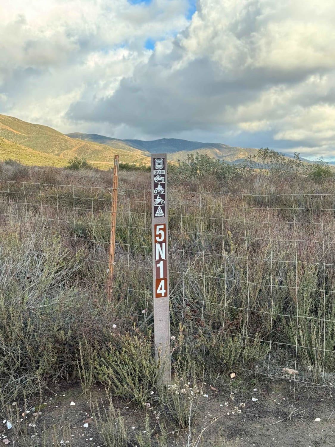
Texas Canyon Road 5N14
Total Miles
1.9
Tech Rating
Moderate
Best Time
Spring, Summer, Fall, Winter
Learn more about Texas Hill Road

Texas Hill Road
Total Miles
15.0
Tech Rating
Easy
Best Time
Summer, Fall
Learn more about The "Shooting Range" Quarry
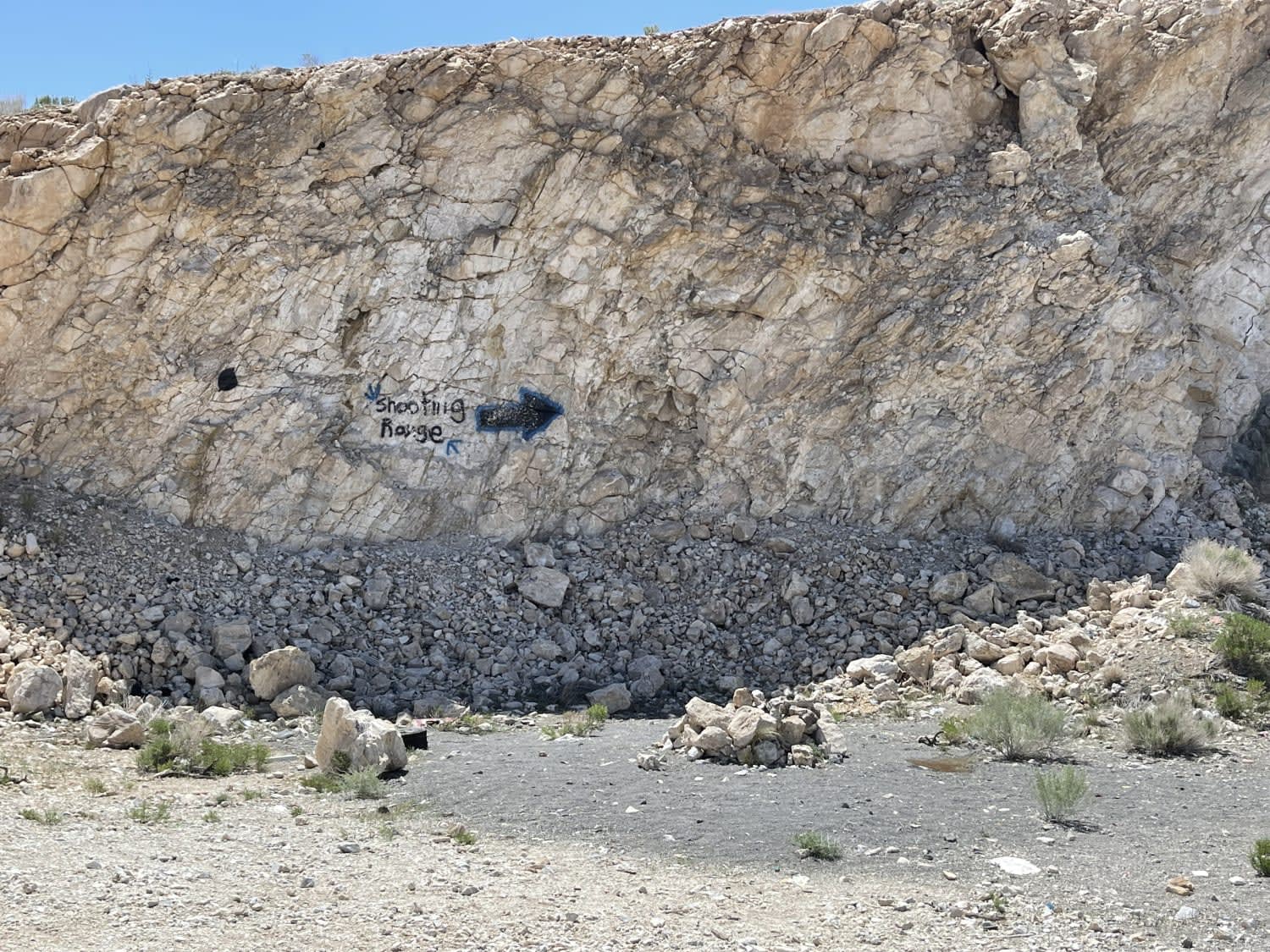
The "Shooting Range" Quarry
Total Miles
1.7
Tech Rating
Easy
Best Time
Winter, Fall, Spring
Learn more about The Back-way to Imperial Gables
The Back-way to Imperial Gables
Total Miles
4.5
Tech Rating
Easy
Best Time
Spring, Fall
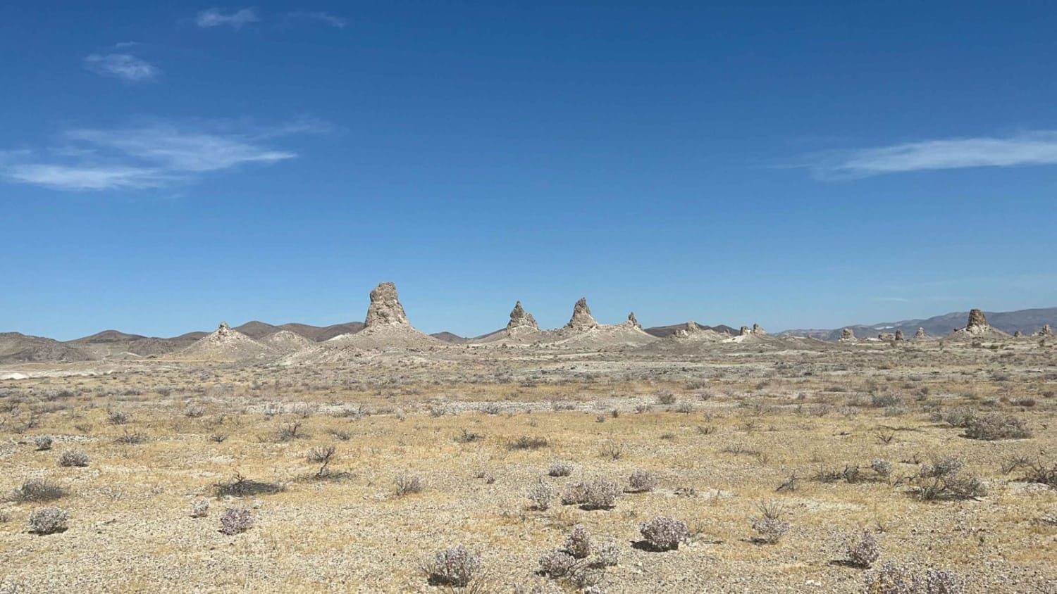
Learn more about The Easy Route to Trona Pinnacles
The Easy Route to Trona Pinnacles
Total Miles
4.7
Tech Rating
Easy
Best Time
Spring, Fall, Winter
Learn more about The Escape Trail
The Escape Trail
Total Miles
8.4
Tech Rating
Moderate
Best Time
Spring, Fall
The onX Offroad Difference
onX Offroad combines trail photos, descriptions, difficulty ratings, width restrictions, seasonality, and more in a user-friendly interface. Available on all devices, with offline access and full compatibility with CarPlay and Android Auto. Discover what you’re missing today!