Off-Road Trails in California

Discover off-road trails in California
Trail Length
Best Time of Year
Sort By
We can’t find any trails
Learn more about Spanish Route
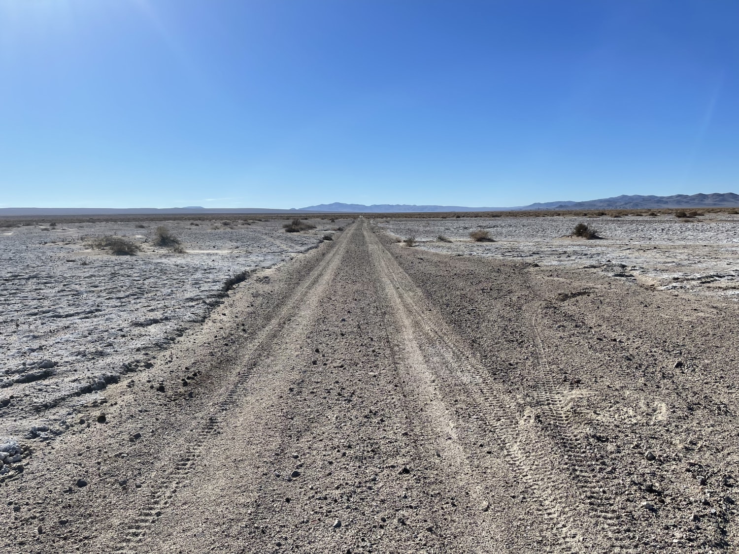
Spanish Route
Total Miles
5.0
Tech Rating
Difficult
Best Time
Summer, Fall
Learn more about Spooners Canyon
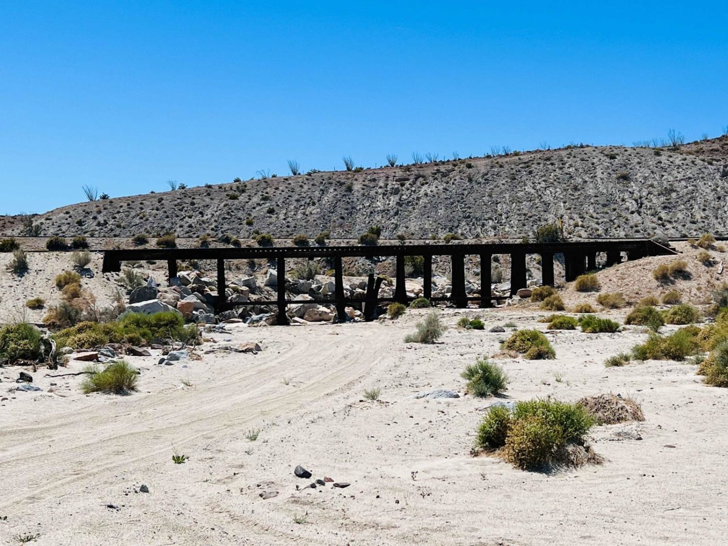
Spooners Canyon
Total Miles
1.0
Tech Rating
Difficult
Best Time
Spring, Summer, Fall, Winter
Learn more about Spur - BLM C2315
Spur - BLM C2315
Total Miles
0.6
Tech Rating
Easy
Best Time
Spring, Fall, Winter
Learn more about Spur - BLM C2317
Spur - BLM C2317
Total Miles
1.2
Tech Rating
Easy
Best Time
Spring, Fall, Winter
Learn more about Spur Meadow
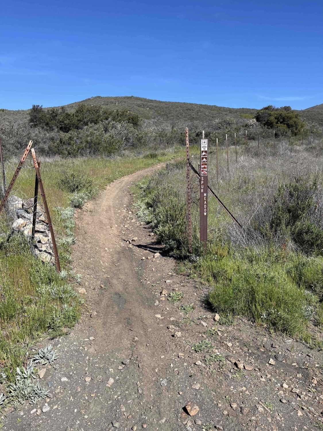
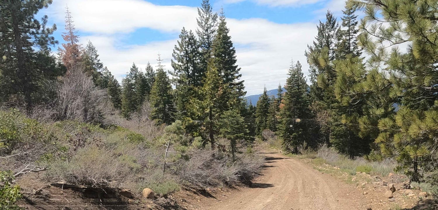
Spur Meadow
Total Miles
2.9
Tech Rating
Moderate
Best Time
Spring, Summer, Fall, Winter
Learn more about Spur Roads - BLM C2319 - C2352
Spur Roads - BLM C2319 - C2352
Total Miles
0.9
Tech Rating
Easy
Best Time
Spring, Fall, Winter
Learn more about SR2013 Red Canyon Jeep Trail
SR2013 Red Canyon Jeep Trail
Total Miles
13.1
Tech Rating
Easy
Best Time
Spring, Fall, Winter
Learn more about ST 2W16 MOTO
ST 2W16 MOTO
Total Miles
1.6
Tech Rating
Easy
Best Time
Winter, Fall, Spring
Learn more about ST 3221 Moto
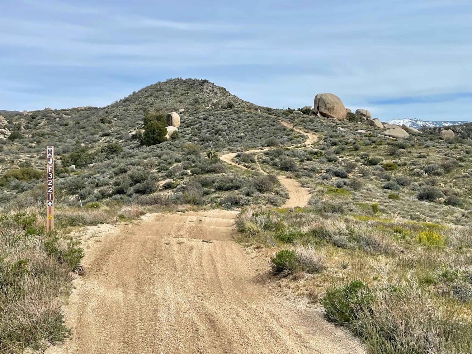
ST 3221 Moto
Total Miles
3.2
Tech Rating
Moderate
Best Time
Fall, Winter, Spring
Learn more about Stanislaus Forebay
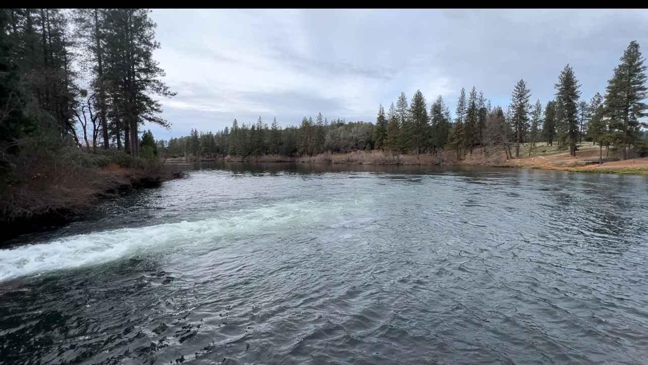
Stanislaus Forebay
Total Miles
7.0
Tech Rating
Easy
Best Time
Spring, Summer, Fall
Learn more about Steele Pass
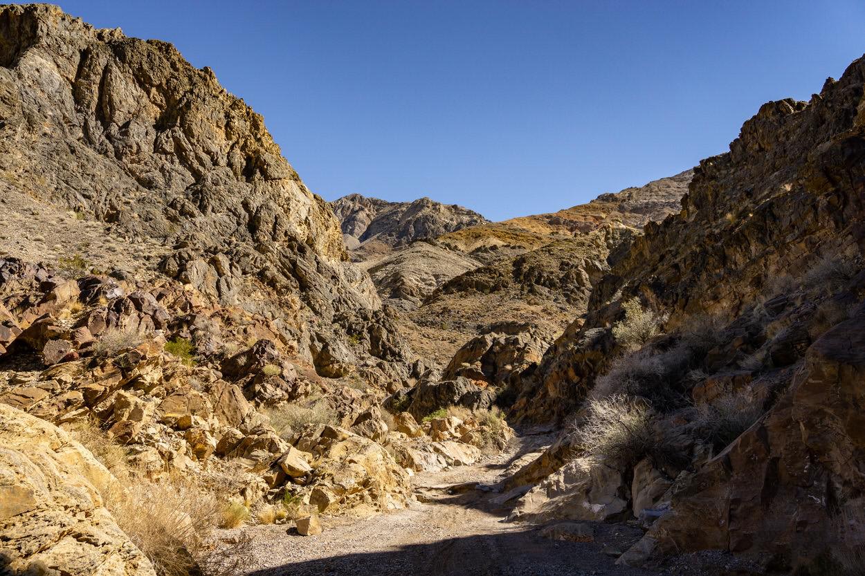
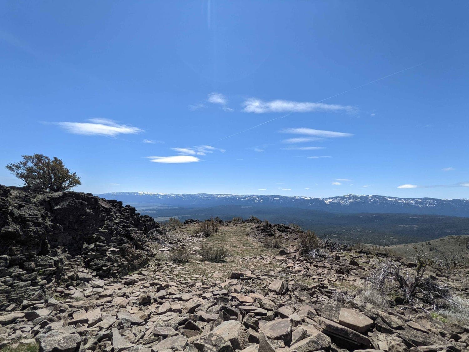
Steele Pass
Total Miles
35.9
Tech Rating
Moderate
Best Time
Spring, Winter
Learn more about Stevens Mine Loop

Stevens Mine Loop
Total Miles
6.5
Tech Rating
Moderate
Best Time
Winter, Fall, Spring
Learn more about Stoddard Mountain Road
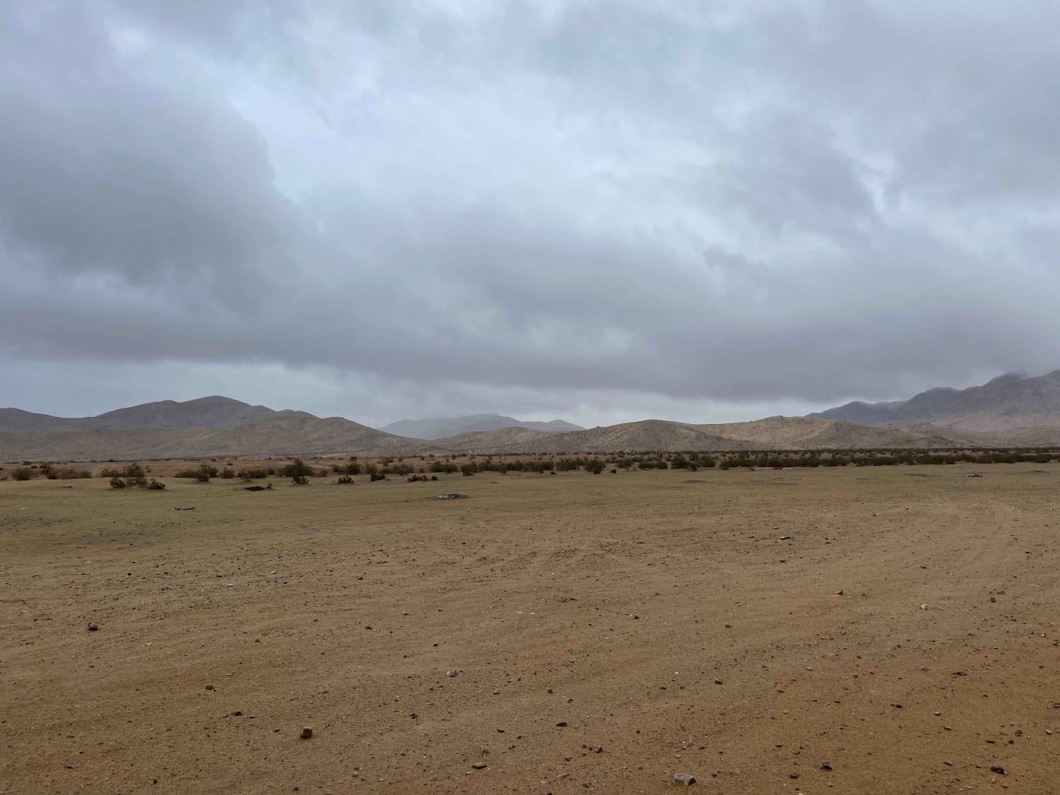
Stoddard Mountain Road
Total Miles
3.2
Tech Rating
Easy
Best Time
Winter, Fall, Spring
Learn more about Straight Shot to the White Fluffy Stuff
Straight Shot to the White Fluffy Stuff
Total Miles
7.4
Tech Rating
Easy
Best Time
Winter, Fall, Spring
Learn more about Sugarloaf 4WD & West (12N70G & 12NY21)

Sugarloaf 4WD & West (12N70G & 12NY21)
Total Miles
3.0
Tech Rating
Moderate
Best Time
Summer, Fall, Spring
Learn more about Sugarloaf Train Tracks Loop
Sugarloaf Train Tracks Loop
Total Miles
2.4
Tech Rating
Moderate
Best Time
Spring, Fall, Winter
Learn more about Sugarpine - NF22N55
Sugarpine - NF22N55
Total Miles
3.2
Tech Rating
Easy
Best Time
Spring, Summer, Fall
Learn more about Sugarpine Spur A - NF22N55A
Sugarpine Spur A - NF22N55A
Total Miles
2.5
Tech Rating
Easy
Best Time
Spring, Summer, Fall
Learn more about Sulfur Mine Summit Crossing

Sulfur Mine Summit Crossing
Total Miles
12.2
Tech Rating
Easy
Best Time
Fall, Summer, Spring
Learn more about Summit Lake

Summit Lake
Total Miles
2.7
Tech Rating
Easy
Best Time
Summer, Fall, Spring
The onX Offroad Difference
onX Offroad combines trail photos, descriptions, difficulty ratings, width restrictions, seasonality, and more in a user-friendly interface. Available on all devices, with offline access and full compatibility with CarPlay and Android Auto. Discover what you’re missing today!