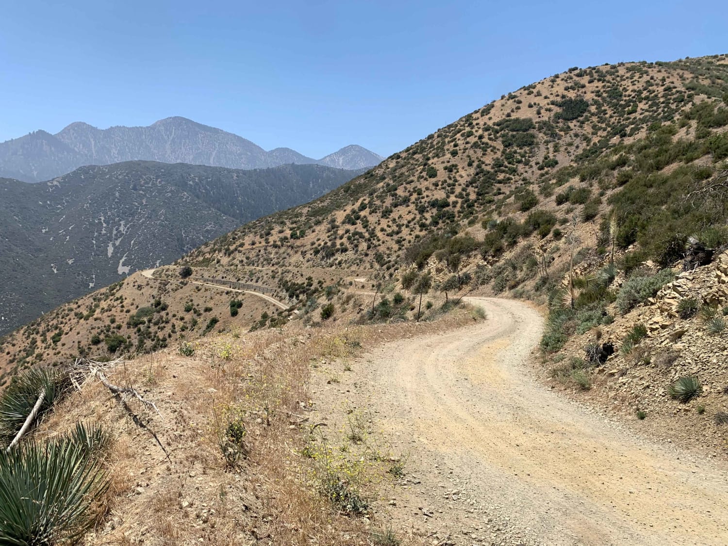
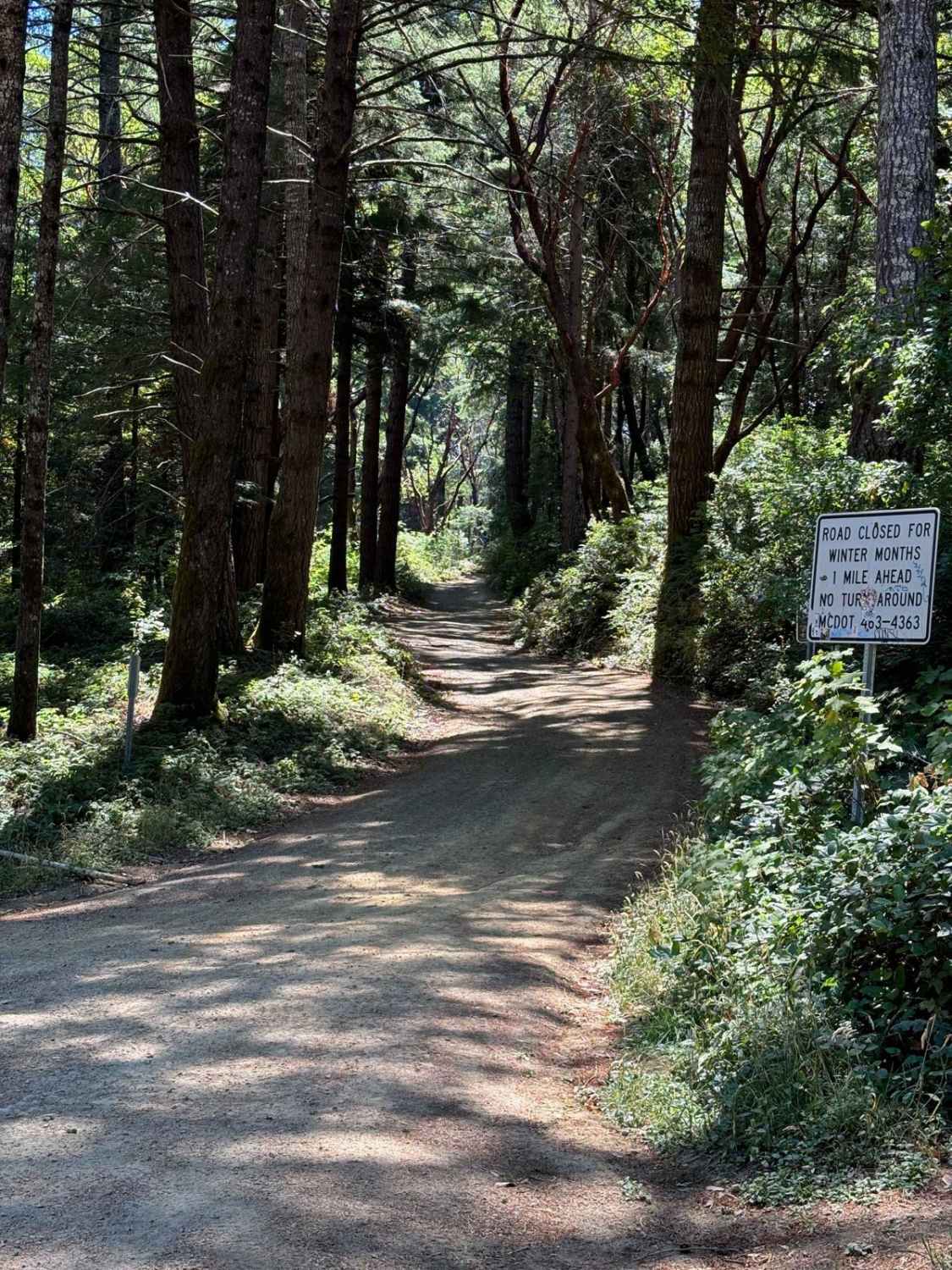
Off-Road Trails in California

Discover off-road trails in California
Trail Length
Best Time of Year
Sort By
We can’t find any trails
Learn more about Upper Buttermilk Road
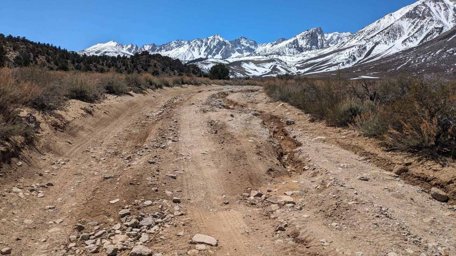
Upper Buttermilk Road
Total Miles
5.4
Tech Rating
Moderate
Best Time
Spring, Summer, Fall
Learn more about Upper Gold Note

Upper Gold Note
Total Miles
1.7
Tech Rating
Easy
Best Time
Summer, Fall, Spring
Learn more about Upper Holcomb - 3N83

Upper Holcomb - 3N83
Total Miles
1.3
Tech Rating
Easy
Best Time
Spring, Summer, Fall
Learn more about Upper Holcomb Creek Road - 3N08
Upper Holcomb Creek Road - 3N08
Total Miles
4.7
Tech Rating
Easy
Best Time
Spring, Summer, Fall
Learn more about Upper Lytle Creek Divide
Upper Lytle Creek Divide
Total Miles
7.7
Tech Rating
Easy
Best Time
Spring, Summer
Learn more about Usal Road (Northern Portion)
Usal Road (Northern Portion)
Total Miles
18.6
Tech Rating
Easy
Best Time
Spring, Summer, Fall
Learn more about Usal Road (Southern Portion)
Usal Road (Southern Portion)
Total Miles
6.3
Tech Rating
Easy
Best Time
Spring, Summer, Fall, Winter
Learn more about Utica-Union Byway
Utica-Union Byway
Total Miles
1.2
Tech Rating
Easy
Best Time
Summer, Fall
Learn more about Vallecito Creek Road
Vallecito Creek Road
Total Miles
5.9
Tech Rating
Easy
Best Time
Spring, Summer, Winter
Learn more about Valley Crossover
Valley Crossover
Total Miles
3.1
Tech Rating
Easy
Best Time
Winter, Fall, Spring
Learn more about Valley of the Moon via US Border Wall

Valley of the Moon via US Border Wall
Total Miles
6.0
Tech Rating
Difficult
Best Time
Spring, Summer, Fall
Learn more about Valley of the Names
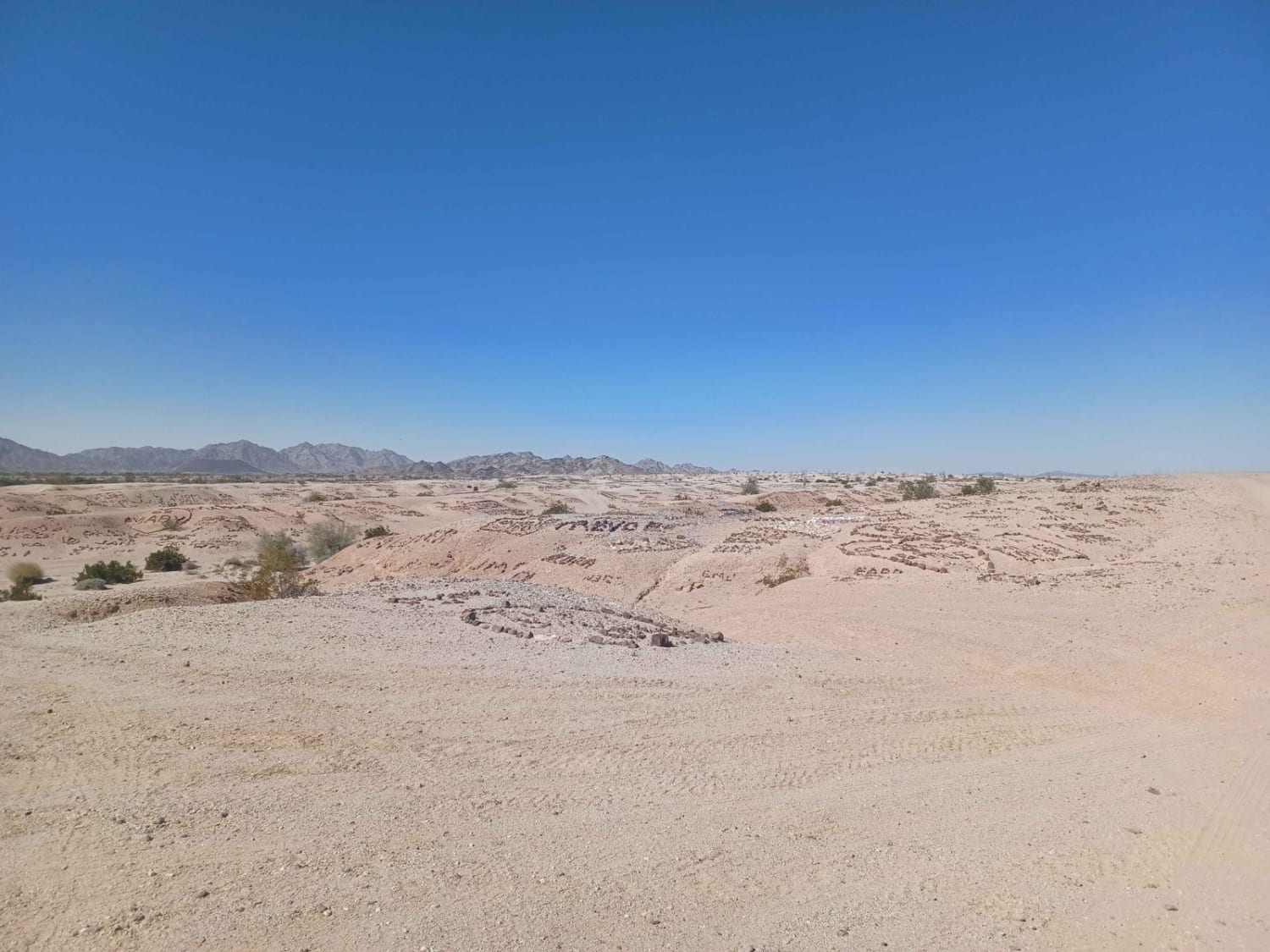
Valley of the Names
Total Miles
4.1
Tech Rating
Easy
Best Time
Summer, Fall, Spring
Learn more about Valley View Ranch Road
Valley View Ranch Road
Total Miles
1.7
Tech Rating
Easy
Best Time
Winter, Fall, Summer
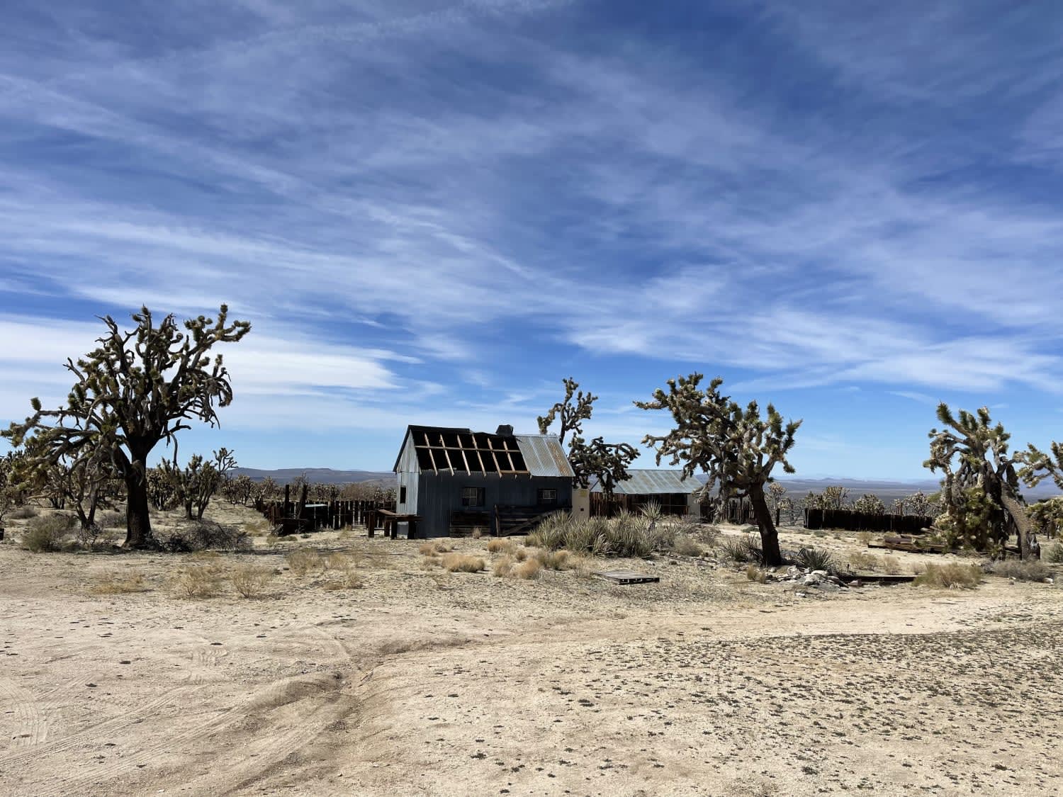
Learn more about Vanderbilt Ghost Town
Vanderbilt Ghost Town
Total Miles
15.2
Tech Rating
Moderate
Best Time
Spring, Fall, Winter
Learn more about Viejo Road

Viejo Road
Total Miles
1.6
Tech Rating
Moderate
Best Time
Winter, Fall, Spring
Learn more about Vinagre Mine
Vinagre Mine
Total Miles
2.1
Tech Rating
Moderate
Best Time
Spring, Fall
Learn more about Vinagre Wash
Vinagre Wash
Total Miles
15.0
Tech Rating
Easy
Best Time
Spring, Fall, Summer
Learn more about Vista Grande - 3S08

Vista Grande - 3S08
Total Miles
5.3
Tech Rating
Moderate
Best Time
Spring, Summer, Fall
Learn more about Walker Lake Trailhead

Walker Lake Trailhead
Total Miles
2.7
Tech Rating
Easy
Best Time
Fall, Summer, Spring
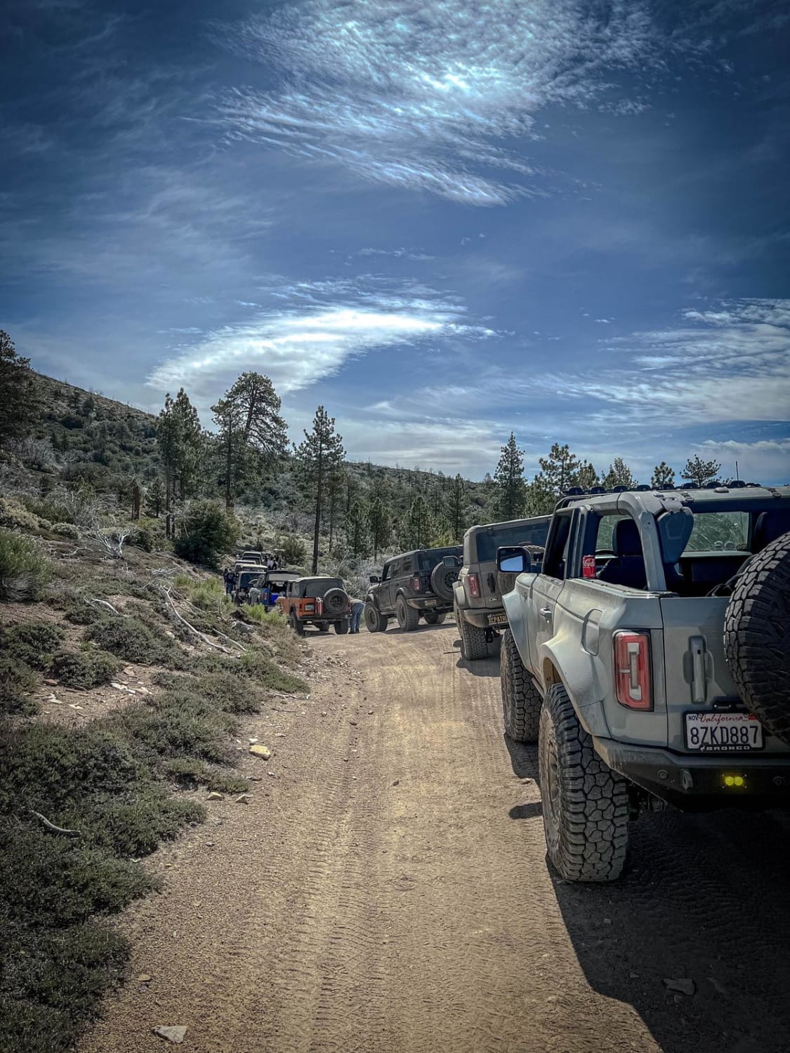
The onX Offroad Difference
onX Offroad combines trail photos, descriptions, difficulty ratings, width restrictions, seasonality, and more in a user-friendly interface. Available on all devices, with offline access and full compatibility with CarPlay and Android Auto. Discover what you’re missing today!