Off-Road Trails in California

Discover off-road trails in California
Trail Length
Best Time of Year
Sort By
We can’t find any trails
Learn more about Silver Canyon Road
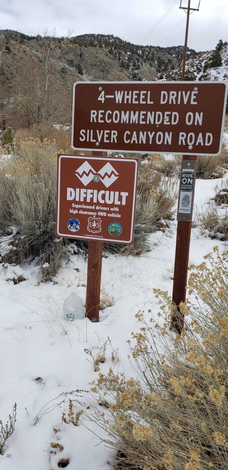
Silver Canyon Road
Total Miles
11.4
Tech Rating
Easy
Best Time
Summer, Fall
Learn more about Slade Canyon
Slade Canyon
Total Miles
2.8
Tech Rating
Easy
Best Time
Spring, Summer, Fall
Learn more about Sledgehammer
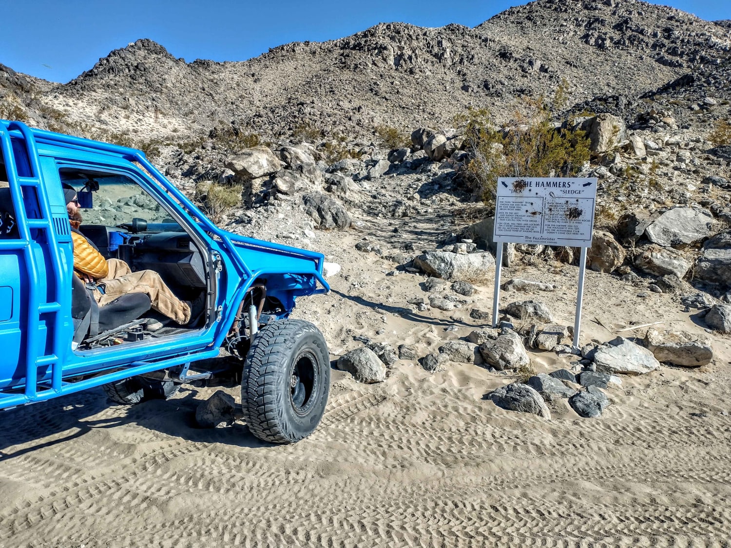
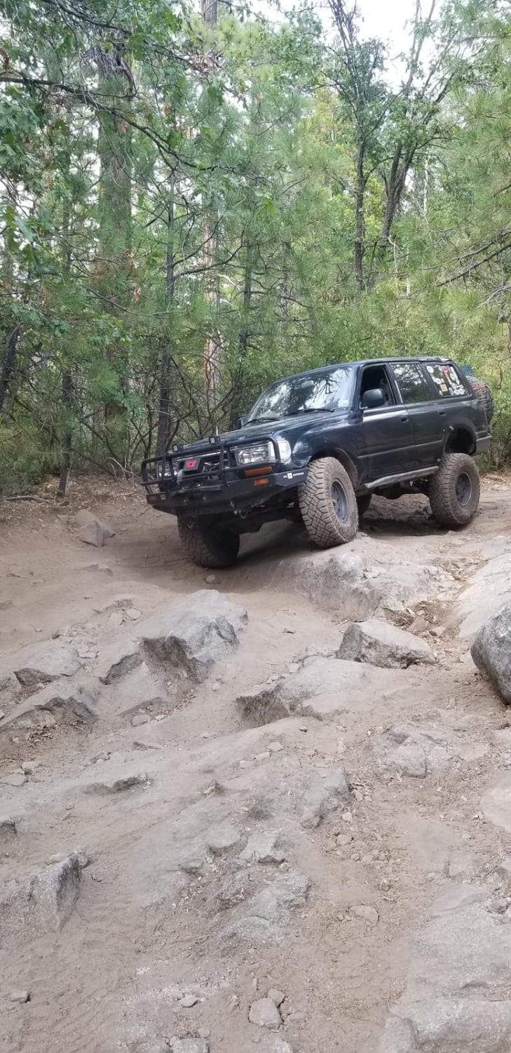
Sledgehammer
Total Miles
0.5
Tech Rating
Difficult
Best Time
Spring, Summer, Fall, Winter
Learn more about Slickrock Trail
Slickrock Trail
Total Miles
6.3
Tech Rating
Difficult
Best Time
Summer
Learn more about Sly Creek Trail

Sly Creek Trail
Total Miles
16.1
Tech Rating
Easy
Best Time
Spring, Summer, Fall, Winter
Learn more about Smart Spring - 3N07Y
Smart Spring - 3N07Y
Total Miles
1.1
Tech Rating
Easy
Best Time
Spring, Summer, Fall
Learn more about Smarts Ranch 3N03
Smarts Ranch 3N03
Total Miles
7.4
Tech Rating
Easy
Best Time
Spring, Summer, Fall, Winter
Learn more about Soda Creek Logging Camp
Soda Creek Logging Camp
Total Miles
18.2
Tech Rating
Easy
Best Time
Spring, Summer, Fall
Learn more about Soggy Dry Lake to Cougar Buttes
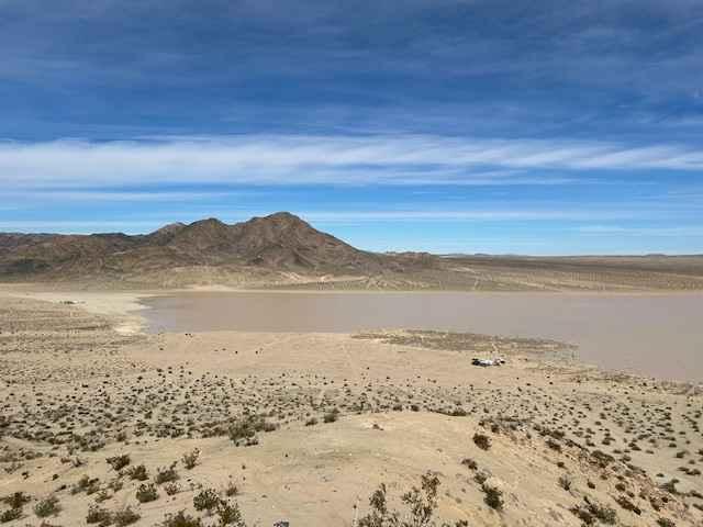
Soggy Dry Lake to Cougar Buttes
Total Miles
7.7
Tech Rating
Easy
Best Time
Winter, Fall, Spring
Learn more about Sourgrass Trail
Sourgrass Trail
Total Miles
1.9
Tech Rating
Moderate
Best Time
Summer, Fall
Learn more about South Coast Road
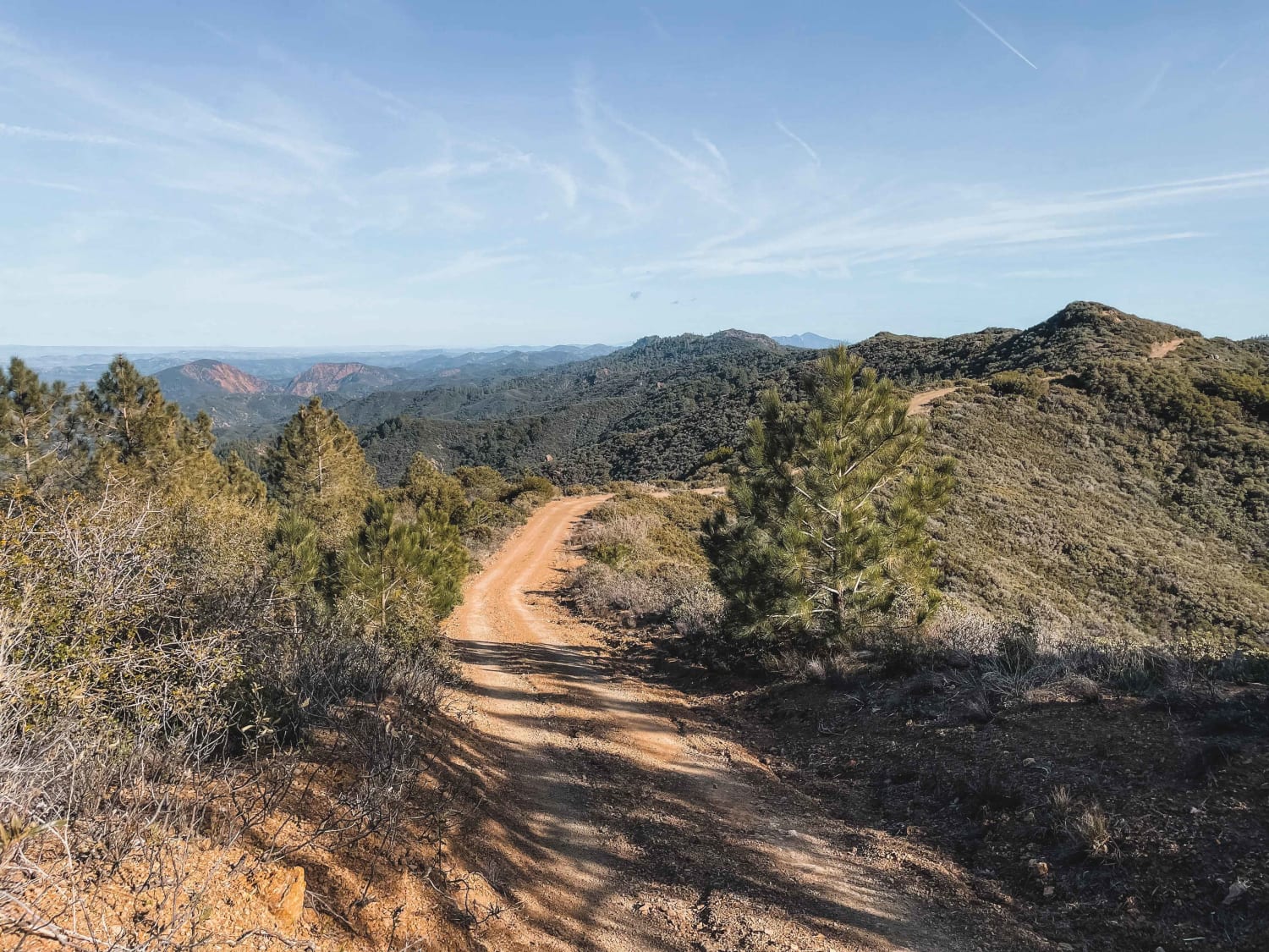
South Coast Road
Total Miles
13.4
Tech Rating
Moderate
Best Time
Summer, Spring, Fall, Winter
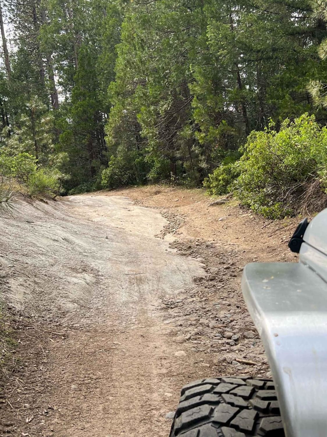
Learn more about South Fork Lakeshore Trail

South Fork Lakeshore Trail
Total Miles
4.1
Tech Rating
Easy
Best Time
Spring, Summer, Fall, Winter
Learn more about South Fork Lubken Creek Canyon Loop
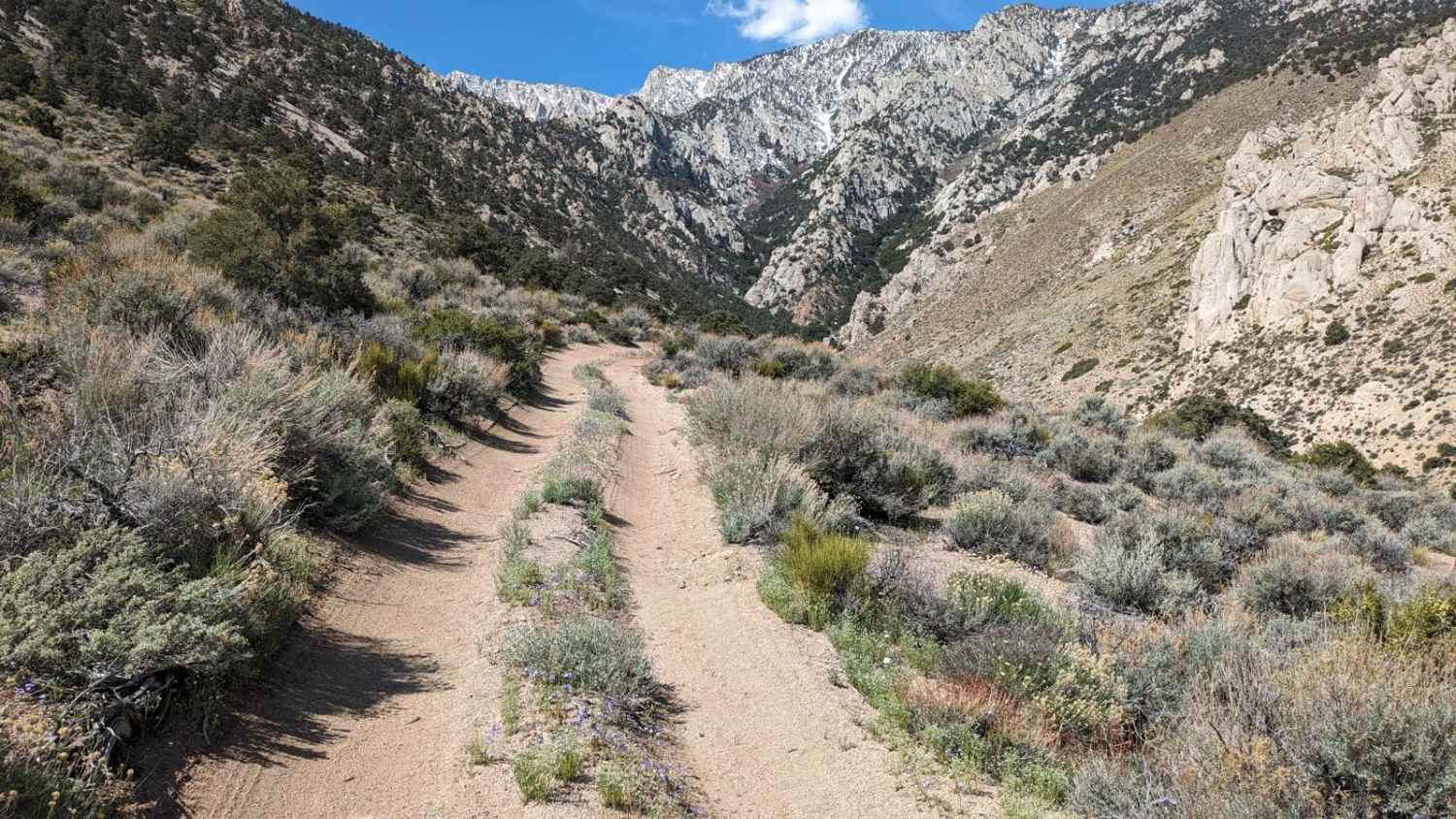
South Fork Lubken Creek Canyon Loop
Total Miles
1.7
Tech Rating
Easy
Best Time
Fall, Spring
Learn more about South Fork Palm Wash

South Fork Palm Wash
Total Miles
2.7
Tech Rating
Easy
Best Time
Spring, Fall, Summer, Winter
Learn more about South Fork Stanislaus River Trail (4N90)
South Fork Stanislaus River Trail (4N90)
Total Miles
5.1
Tech Rating
Easy
Best Time
Spring, Summer, Fall
Learn more about South Fork Trail
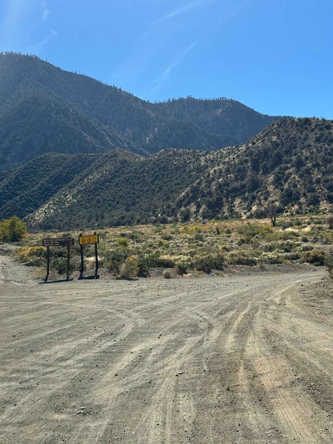
South Fork Trail
Total Miles
1.2
Tech Rating
Moderate
Best Time
Spring, Summer, Fall, Winter
Learn more about South Section of the Sand Superhighway
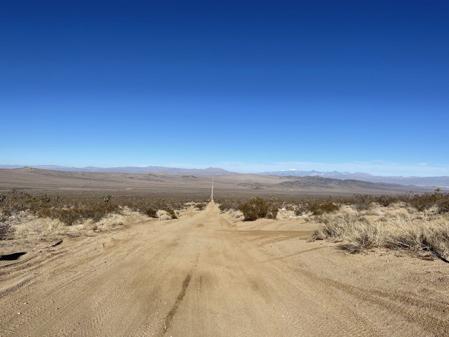
South Section of the Sand Superhighway
Total Miles
8.9
Tech Rating
Moderate
Best Time
Winter, Fall, Spring
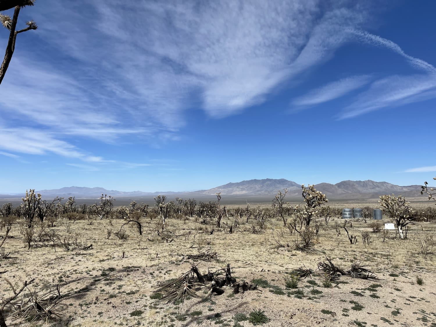
Learn more about South Volcanoville (13N56)

South Volcanoville (13N56)
Total Miles
4.6
Tech Rating
Moderate
Best Time
Spring, Fall, Summer
Learn more about Southern Deer Spring Road
Southern Deer Spring Road
Total Miles
2.9
Tech Rating
Easy
Best Time
Winter, Fall, Spring
The onX Offroad Difference
onX Offroad combines trail photos, descriptions, difficulty ratings, width restrictions, seasonality, and more in a user-friendly interface. Available on all devices, with offline access and full compatibility with CarPlay and Android Auto. Discover what you’re missing today!