Off-Road Trails in Colorado

Discover off-road trails in Colorado

Learn more about Death Row
Death Row

Death Row

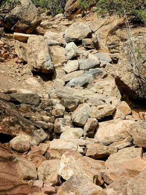
The entrance is a right turn off of Topless, about a half mile in. The first hundred yards are small ledges and boulders that do not live up to the rating. Then the real trail…
Learn more about Death Row
Total Miles
0.2
Tech Rating
10 Difficult
Best Time
Summer, Fall
Learn more about Deep Gulch Road
Deep Gulch Road

Deep Gulch Road

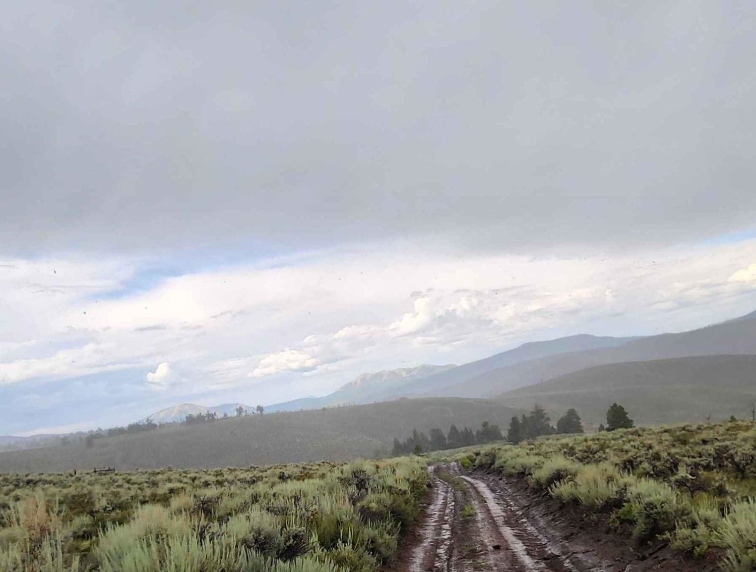
This road has seasonal closures. It gets extremely muddy when wet and has very large puddles that can become very messy. This road does go through private property, so please be mindful. Not much camping…
Learn more about Deep Gulch Road
Total Miles
4.3
Tech Rating
3 Easy
Best Time
Spring, Summer, Fall
Learn more about Deer Creek
Deer Creek

Deer Creek

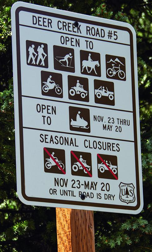
You'll get to see some of the most beautiful scenery in Colorado once you reach the top. If you're lucky, you'll also see mountain goats hanging out on the steep cliffs. Combine this trail with…
Learn more about Deer Creek
Total Miles
4.5
Tech Rating
4 Moderate
Best Time
Summer, Fall
Learn more about Democrat Mountain
Democrat Mountain

Democrat Mountain

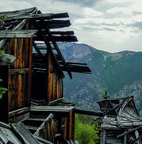
You will be at the top of the mountain, although you'll be able to see Republican Mountain, which is taller, further ahead. Some of the higher terrain in this area is actually private mining land.…
Learn more about Democrat Mountain
Total Miles
4.5
Tech Rating
5 Difficult
Best Time
Summer, Fall
Learn more about Devil Creek Wildlife Management Area-Fr Rd 627
Devil Creek Wildlife Management Area-Fr Rd 627

Devil Creek Wildlife Management Area-Fr Rd 627

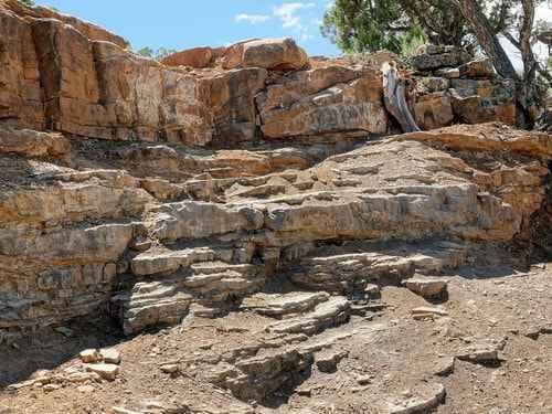
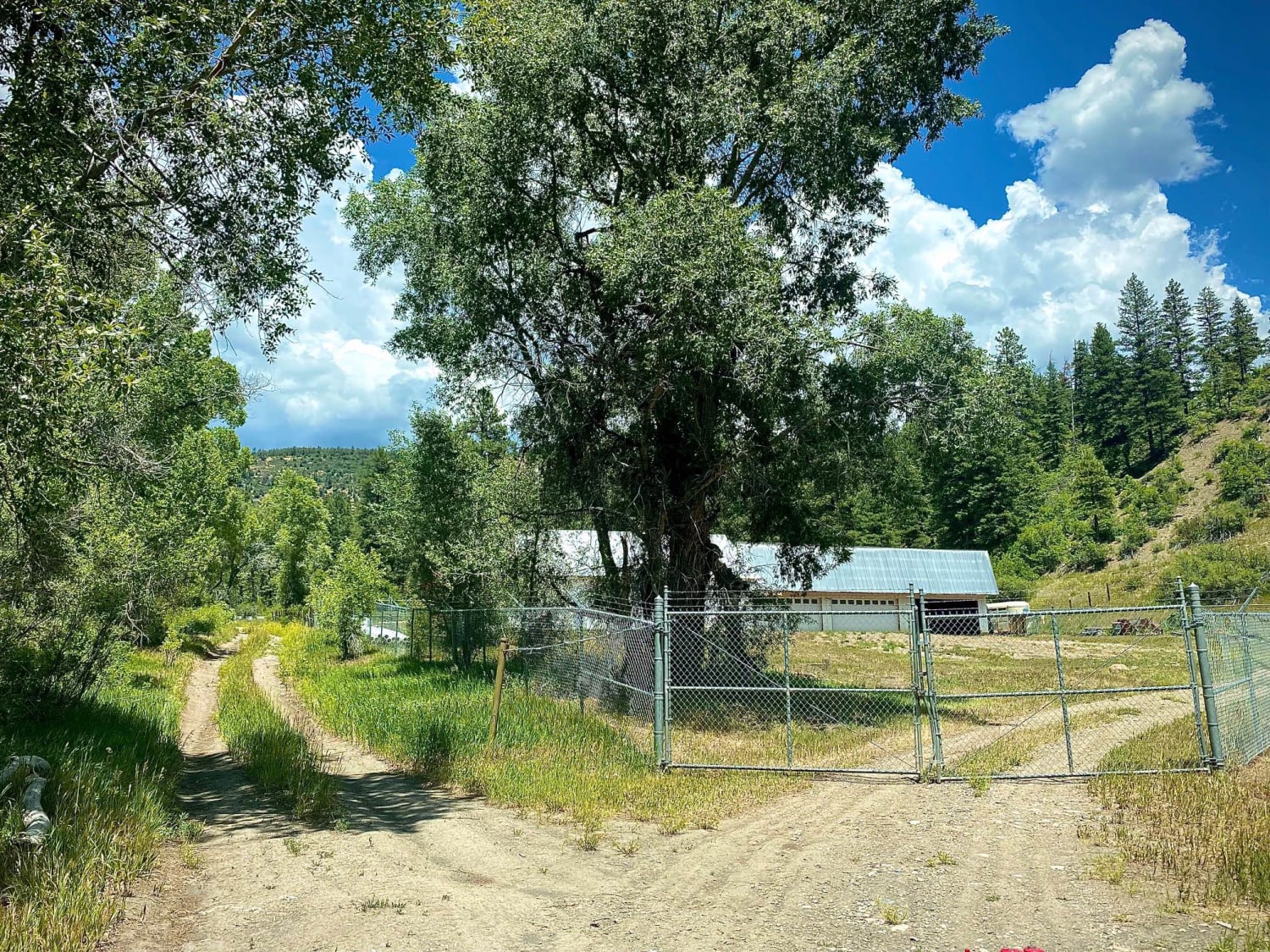
The Devil Creek trail is a short trail leading to the 561 acre Devil Creek Wildlife Management area. Part way up the trail is a very interesting rock on your left. At the end of…
Learn more about Devil Creek Wildlife Management Area-Fr Rd 627
Total Miles
1.4
Tech Rating
2 Easy
Best Time
Spring, Summer, Fall
Learn more about Devil Mountain-Fr Rd 626
Devil Mountain-Fr Rd 626

Devil Mountain-Fr Rd 626

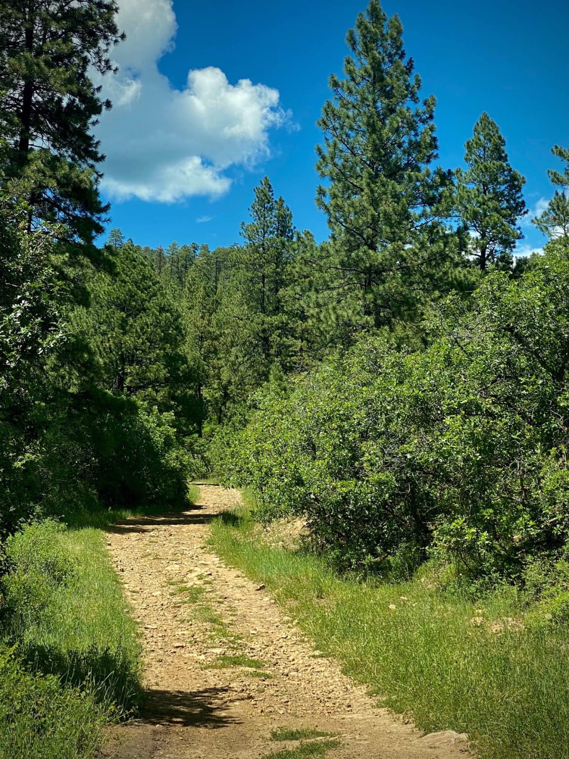
Camping, Jeeping and Hunting on Devil Mountain-Fr Rd 626 There is some space when you first turn onto the trail from Hwy 160 to air up or down. After that area the Devil Mountain trail…
Learn more about Devil Mountain-Fr Rd 626
Total Miles
11.4
Tech Rating
3 Easy
Best Time
Spring, Summer, Fall
Learn more about Devil's Canyon
Devil's Canyon

Devil's Canyon

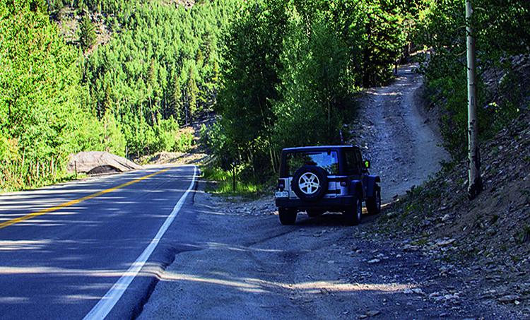
There are a lot of different trail combinations in this area, so you can decide how long or how challenging you want it to be. There is some camping along the trail and parking just…
Learn more about Devil's Canyon
Total Miles
4.1
Tech Rating
4 Moderate
Best Time
Summer, Fall
Learn more about Devil's Punchbowl
Devil's Punchbowl

Devil's Punchbowl

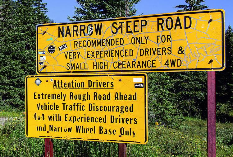
This route takes you over Schofield Pass. You're sure to run into some tourists around Crystal Mill, which is a very popular tourist destination. The run through Crystal Canyon will take you to Devil's Punchbowl,…
Learn more about Devil's Punchbowl
Total Miles
10.6
Tech Rating
5 Difficult
Best Time
Spring, Fall
Learn more about Die Trying
Die Trying

Die Trying

This trail starts with quite a few large boulders, ledges, and notches. After a few hundred yards the trail smooths out to smaller boulders and ledges and some tight turns around some large rocks. Near…
Learn more about Die Trying
Total Miles
0.8
Tech Rating
8 Difficult
Best Time
Summer, Fall
Learn more about Dinkle Lake Road
Dinkle Lake Road

Dinkle Lake Road

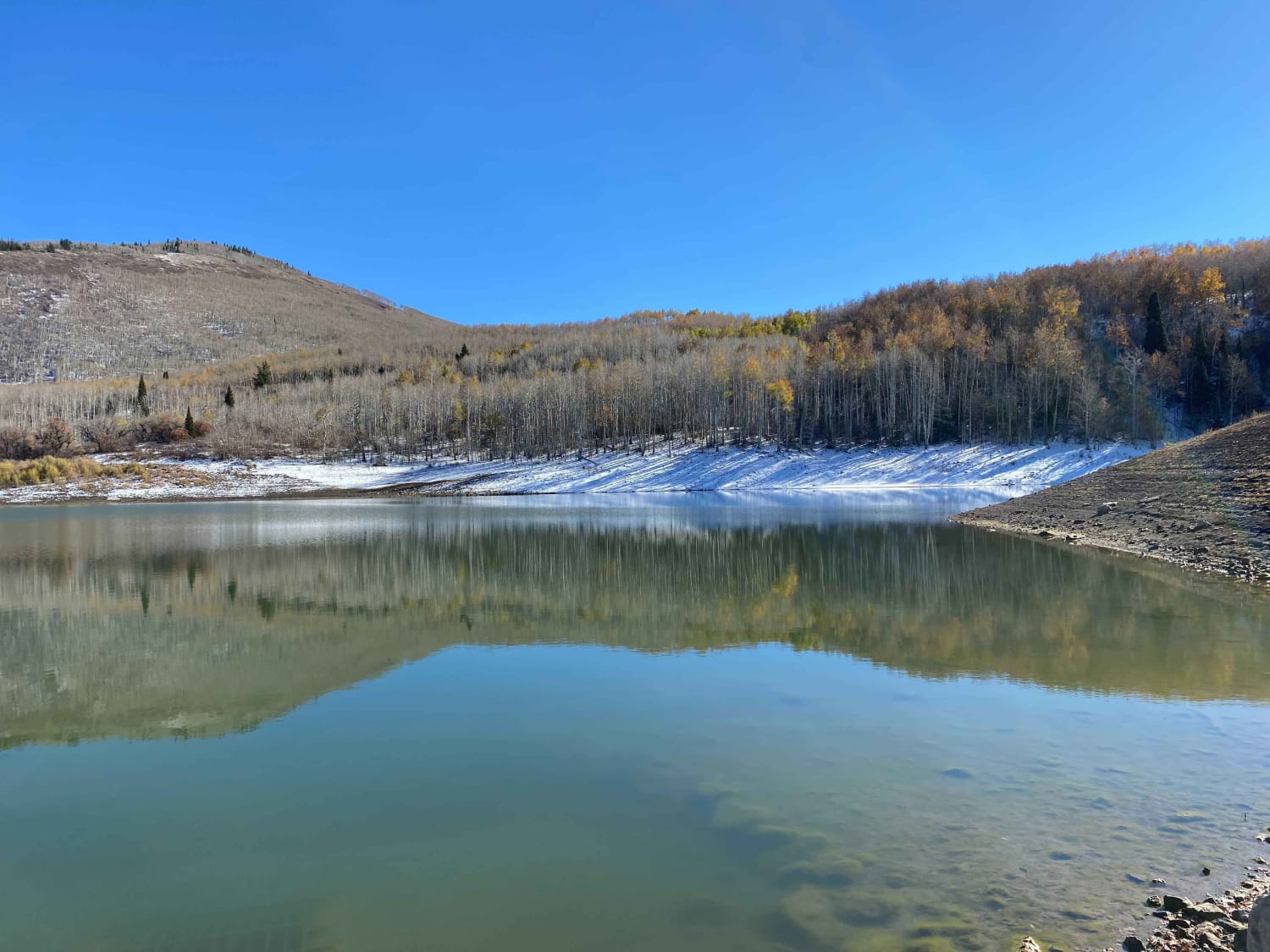
Dinkle Lake Road is an easy dirt road that provides spectacular views of Mt. Sopris and access to Dinkle Lakes, Thomas Lakes Trailhead, and the Mt. Sopris Trailhead. This trail is mostly tame, with a…
Learn more about Dinkle Lake Road
Total Miles
2.5
Tech Rating
2 Easy
Best Time
Summer, Fall
Learn more about Dinosaur Flats Road BLM#5935
Dinosaur Flats Road BLM#5935

Dinosaur Flats Road BLM#5935

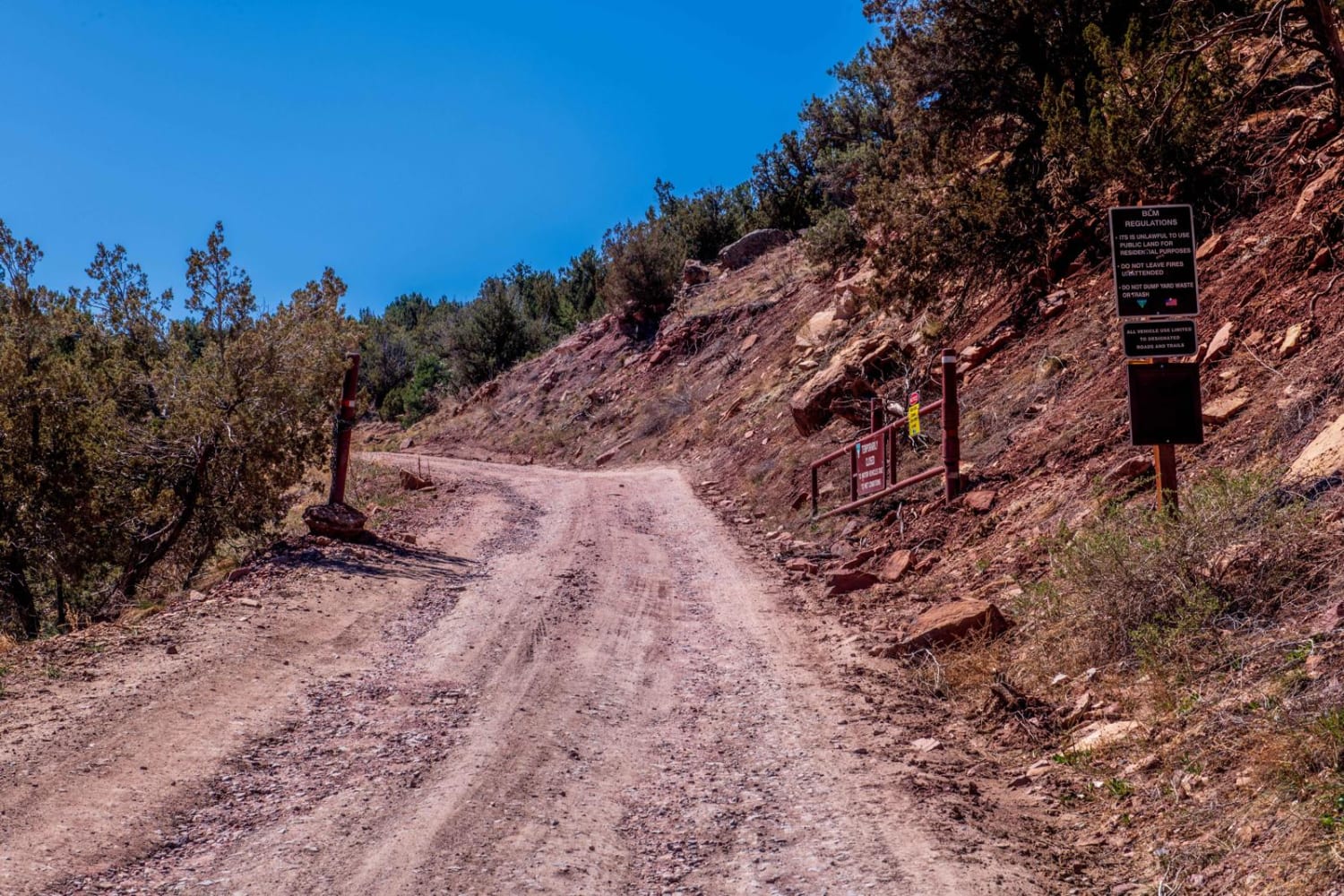
Road a little rutted at start-up to T intersection. Turning right and staying on 5935 as you get higher it gets rocker in some places. The roads can get muddy after wet weather. If it…
Learn more about Dinosaur Flats Road BLM#5935
Total Miles
2.9
Tech Rating
2 Easy
Best Time
Spring, Summer, Fall, Winter
Learn more about Dinosaur Flats Roads 5935B
Dinosaur Flats Roads 5935B

Dinosaur Flats Roads 5935B

This is a side road off 5935 which you will find at the T intersection about 1-mile fromm the main road. The route is about 1/2 mile long and ends short of where the maps…
Learn more about Dinosaur Flats Roads 5935B
Total Miles
0.6
Tech Rating
2 Easy
Best Time
Winter, Fall, Summer, Spring
Learn more about Dirty Sock
Dirty Sock

Dirty Sock

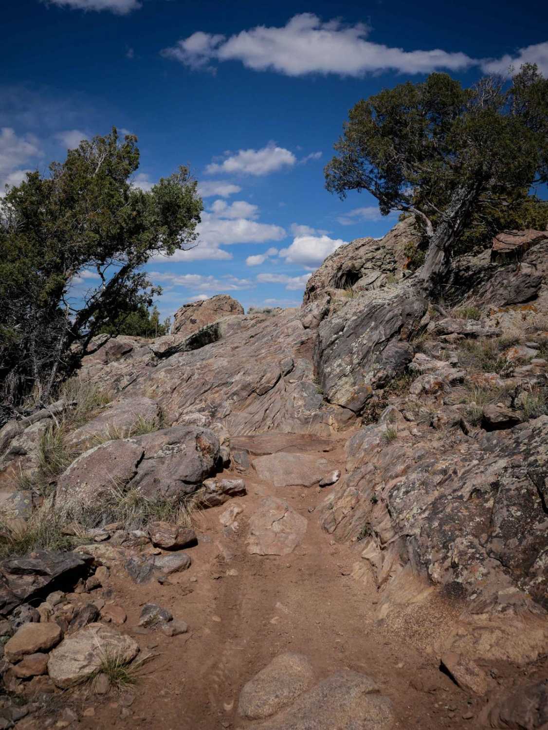
Dirty Sock is a fun and short trail that has some moderate rock features that would be a good challenge for a beginner rider. From the south end, it starts on Dirty Sock Connector Road,…
Learn more about Dirty Sock
Total Miles
1.1
Tech Rating
4 Moderate
Best Time
Spring, Summer, Fall
Learn more about Ditches Road
Ditches Road

Ditches Road

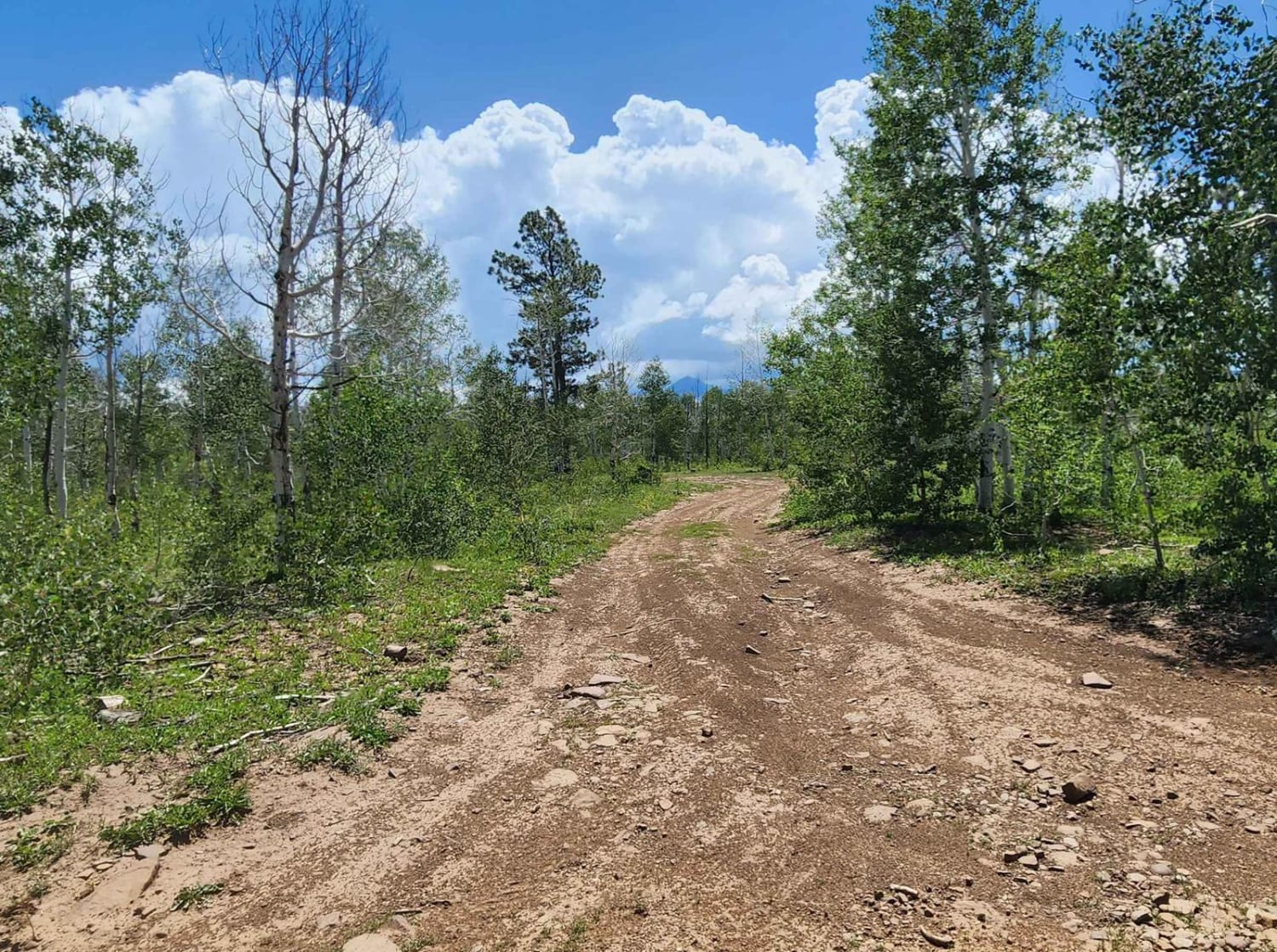
Lots and lots of camping, big area for RVs and large groups. Water crossing halfway through the trail, lots of hiking, biking, and horseback riding trails. It can be muddy when wet.Dirt or rocky road,…
Learn more about Ditches Road
Total Miles
2.8
Tech Rating
2 Easy
Best Time
Spring, Summer, Fall
Learn more about Divide Cut-off
Divide Cut-off

Divide Cut-off

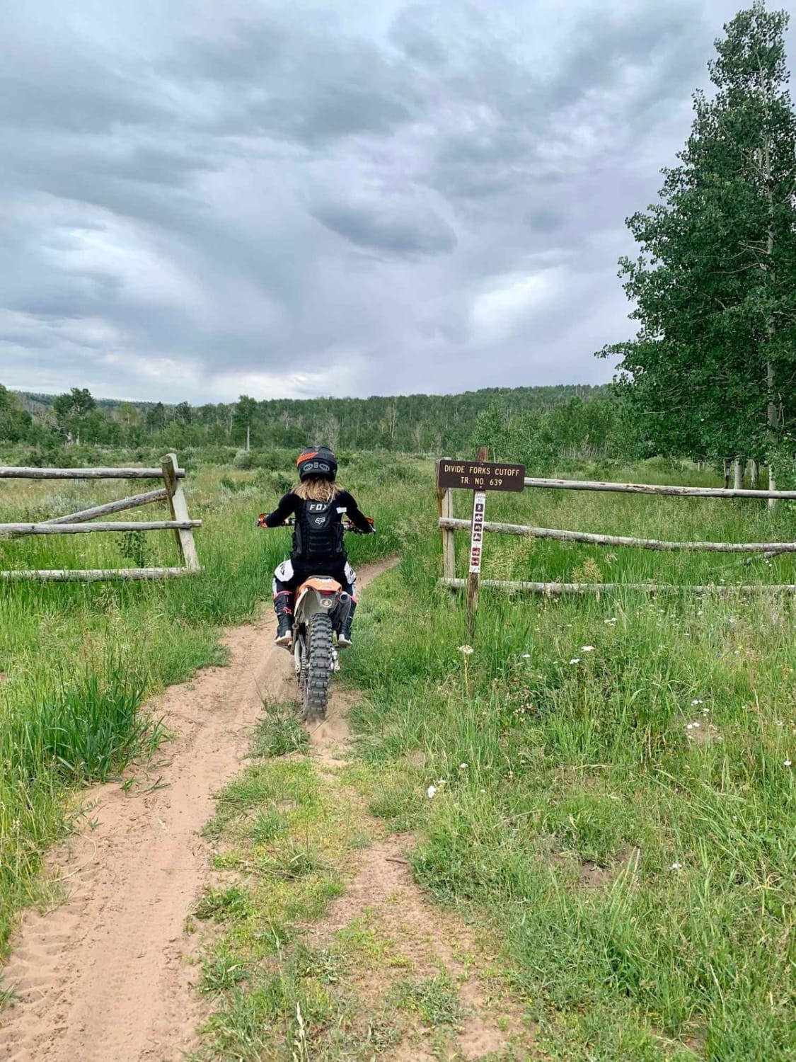
Divide Cut-off trail is right off Divide Road outside the DIvide Campground in the Uncompaghre Plateau Wilderness. The trail is fast and flowing, with a few climbs and descents. Parts of the trail meander through…
Learn more about Divide Cut-off
Total Miles
3.2
Tech Rating
3 Easy
Best Time
Spring, Summer, Fall
Learn more about Divide Road
Divide Road

Divide Road

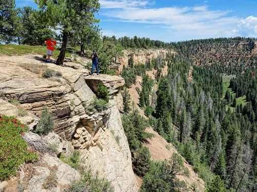
This is a 90-mile long, wide-graded road up the middle of the Uncompaghre Plateau from Montrose to (almost) Grand Junction. The landscape varies from farmland to expansive forest areas to desert. This mellow graded road…
Learn more about Divide Road
Total Miles
89.7
Tech Rating
1 Easy
Best Time
Summer, Fall, Spring
Learn more about Doctor Park Trail
Doctor Park Trail

Doctor Park Trail

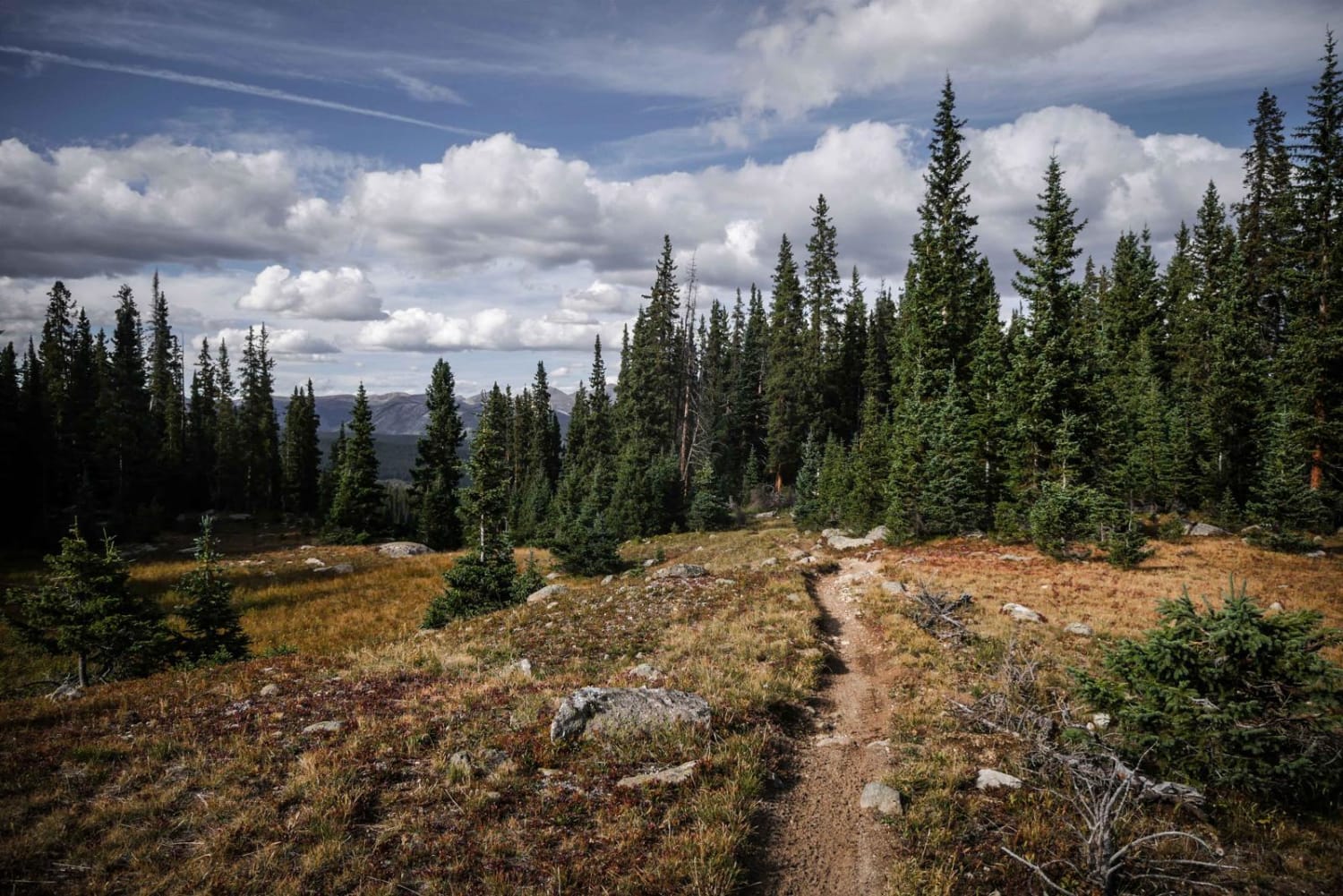
Doctor Park Trail is one of the main trails to ride when visiting Taylor Park, Colorado. It's a very long trail with a little of everything. Over the course of 17 miles, it has 3,600…
Learn more about Doctor Park Trail
Total Miles
16.4
Tech Rating
6 Moderate
Best Time
Summer
Learn more about Dolly Varden Road (Windy Ridge)
Dolly Varden Road (Windy Ridge)

Dolly Varden Road (Windy Ridge)

Officially this is Dolly Varden Road or FS 783, however, the signage will say Windy Ridge, which it is more commonly known as. At tree line, you will encounter the Windy Ridge Bristlecone Pine Scenic…
Learn more about Dolly Varden Road (Windy Ridge)
Total Miles
7.9
Tech Rating
3 Easy
Best Time
Summer
Learn more about Dotsero Crater
Dotsero Crater

Dotsero Crater

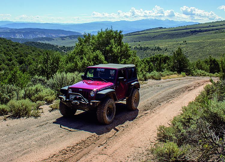
Popular with OHVs and dirt bikes, this trail takes you to the Dotsero Crater and through the BLM Gypsum Hills Area, also a popular off-roading area. If you have time, stay and watch the extreme…
Learn more about Dotsero Crater
Total Miles
12.9
Tech Rating
4 Moderate
Best Time
Summer, Fall
Learn more about Double Creek Loop
Double Creek Loop

Double Creek Loop

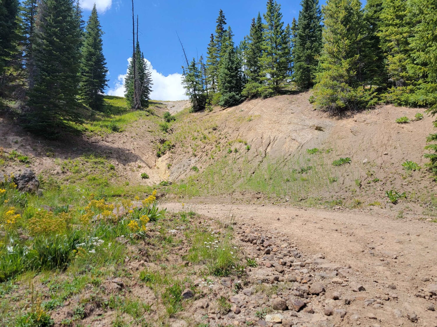
This loop runs parallel to Park Creek, following West Fork Park Creek on one side and Lost Mine Creek on the other. The trail features mountain meadows and views of the valley, with some shelf…
Learn more about Double Creek Loop
Total Miles
10.0
Tech Rating
4 Moderate
Best Time
Spring, Summer, Fall

The onX Offroad Difference

onX Offroad combines trail photos, descriptions, difficulty ratings, width restrictions, seasonality, and more in a user-friendly interface. Available on all devices, with offline access and full compatibility with CarPlay and Android Auto. Discover what you’re missing today!