Pilot Peak/Summit Flat 380
Total Miles
4.1
Technical Rating
Best Time
Spring, Summer, Fall
Trail Type
Full-Width Road
Accessible By
Trail Overview
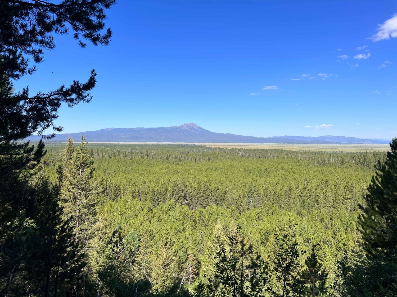
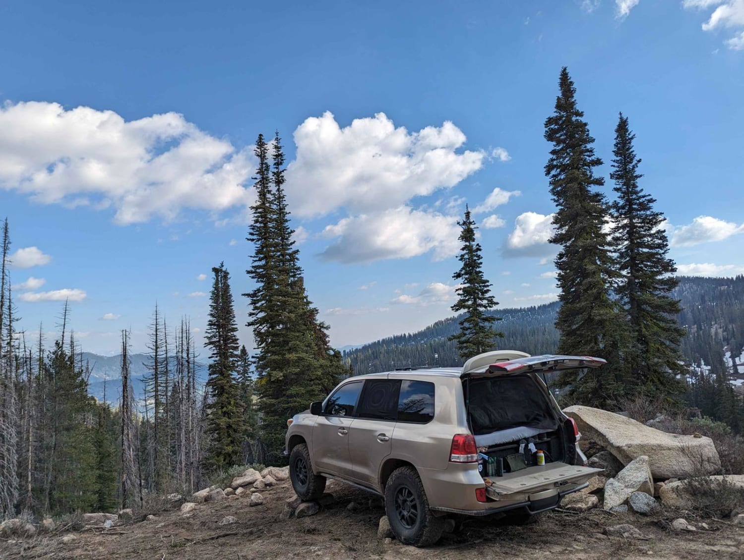
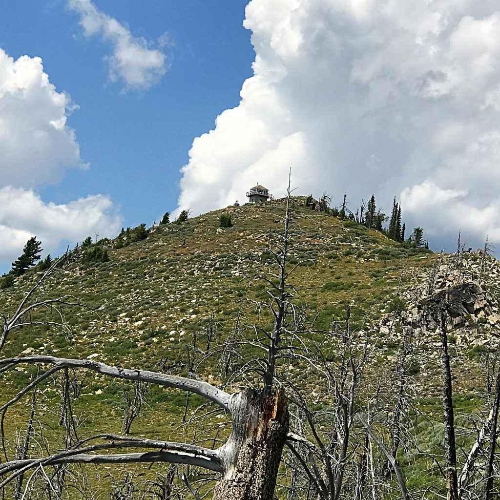
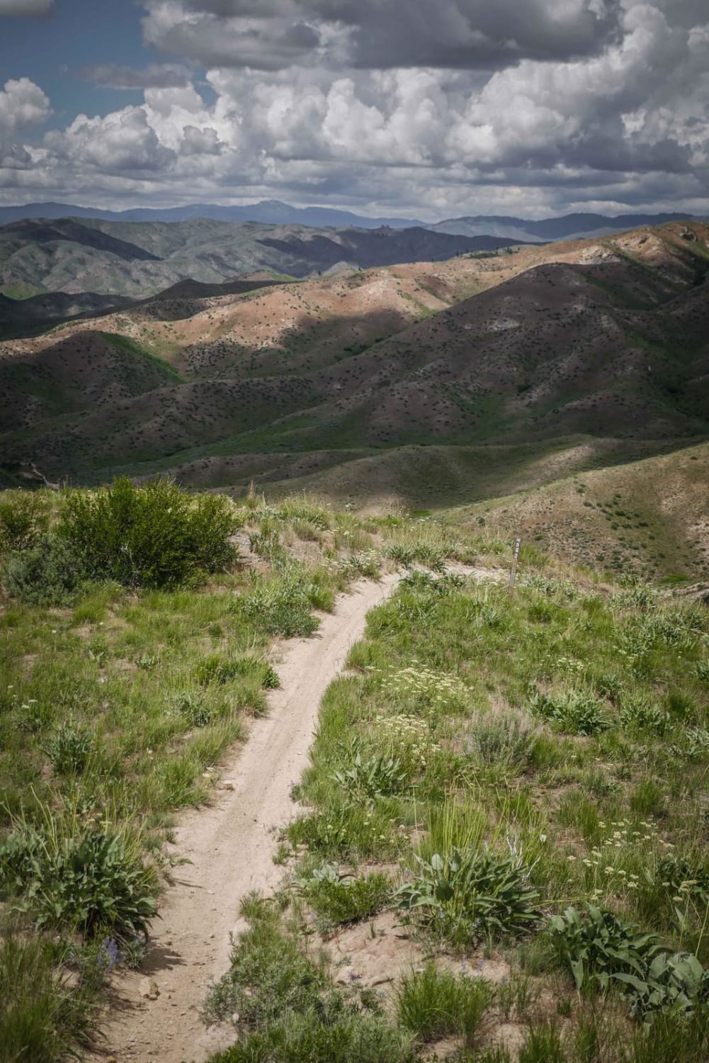
This trail ascends all the way to Pilot Peak lookout tower at 8,090 Ft in elevation. This trail is rocky and rough with snow banks and downed trees still present in mid-June. Most of the trail is one lane where you want to take note of slightly wider points to reverse to if you incur oncoming traffic. The trail is steep and low range is recommended. The trail takes you nearly 2,000 feet above the starting point on Highway 21. There are great camping spots along the route and once you reach the turnoff to the Pilot Peak there are other forest roads that take you further to other remote camp areas.
Photos of Pilot Peak/Summit Flat 380
Difficulty
This trail is a 1 lane steep and rocky road with occasional boulders tall enough to strike the bottom of normal high-clearance vehicles.
Status Reports
Pilot Peak/Summit Flat 380 can be accessed by the following ride types:
- High-Clearance 4x4
- SUV
- SxS (60")
- ATV (50")
- Dirt Bike
Pilot Peak/Summit Flat 380 Map
Popular Trails

Slate Peak ATV

Continental Divide National Scenic Trail (20001) (Partial)
The onX Offroad Difference
onX Offroad combines trail photos, descriptions, difficulty ratings, width restrictions, seasonality, and more in a user-friendly interface. Available on all devices, with offline access and full compatibility with CarPlay and Android Auto. Discover what you’re missing today!


