Westfork Yankee Fork
Total Miles
10.0
Technical Rating
Best Time
Summer, Fall
Trail Type
Single Track
Accessible By
Trail Overview
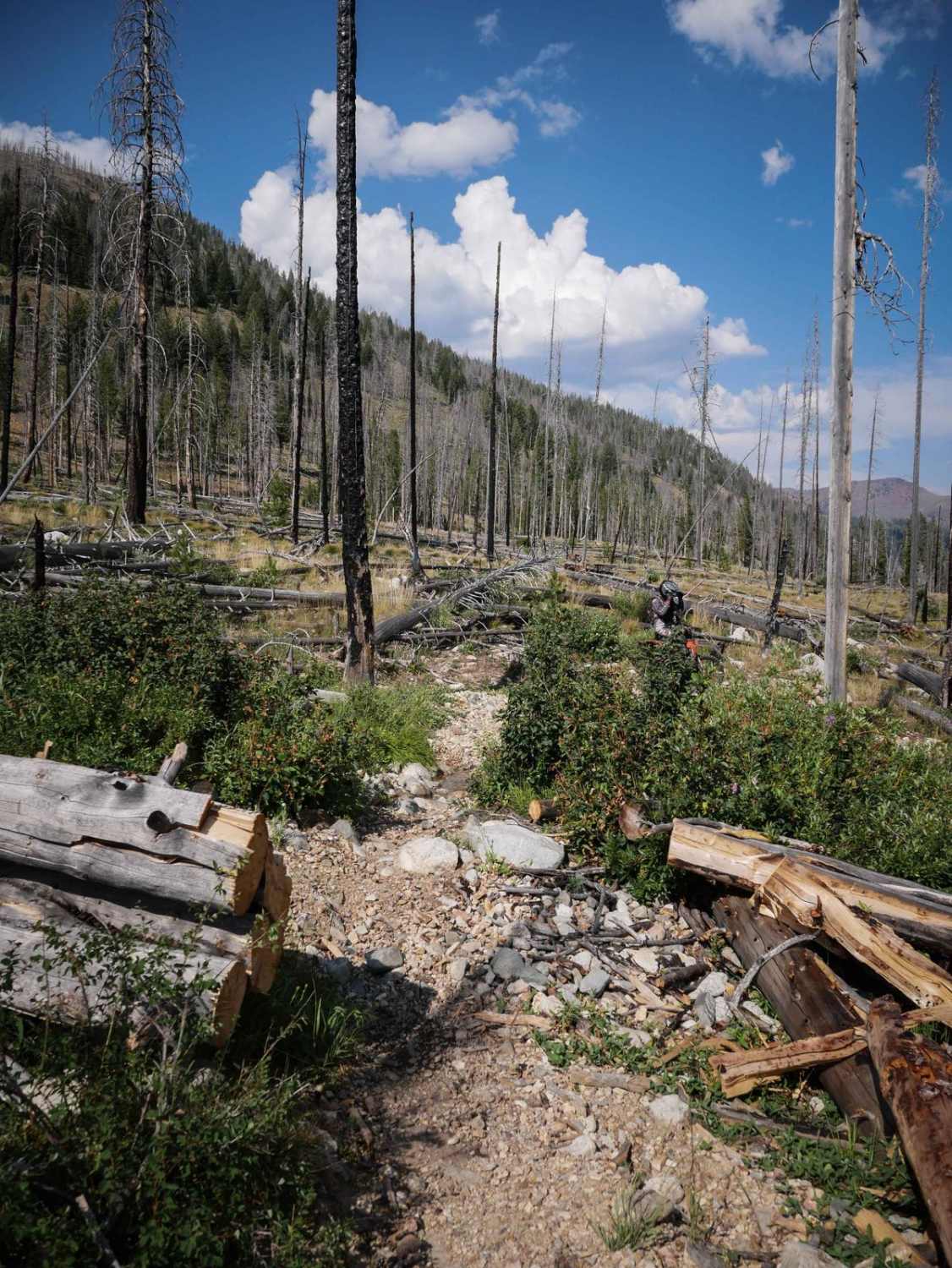
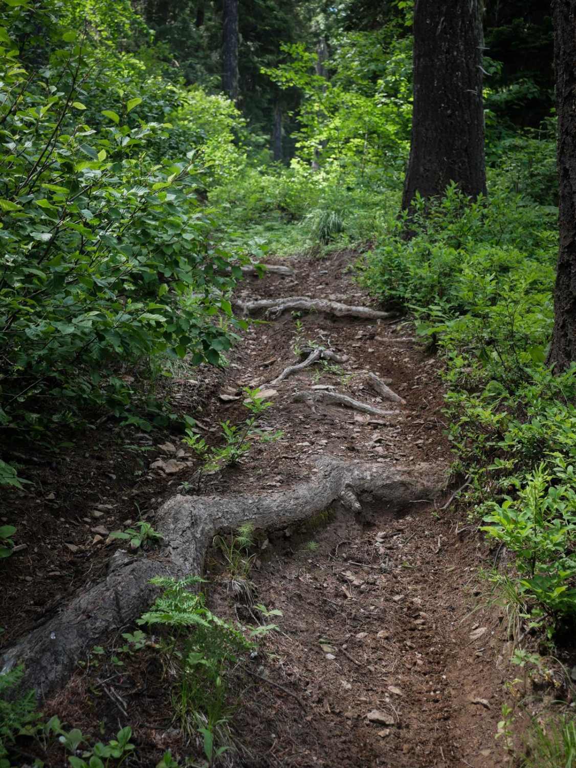
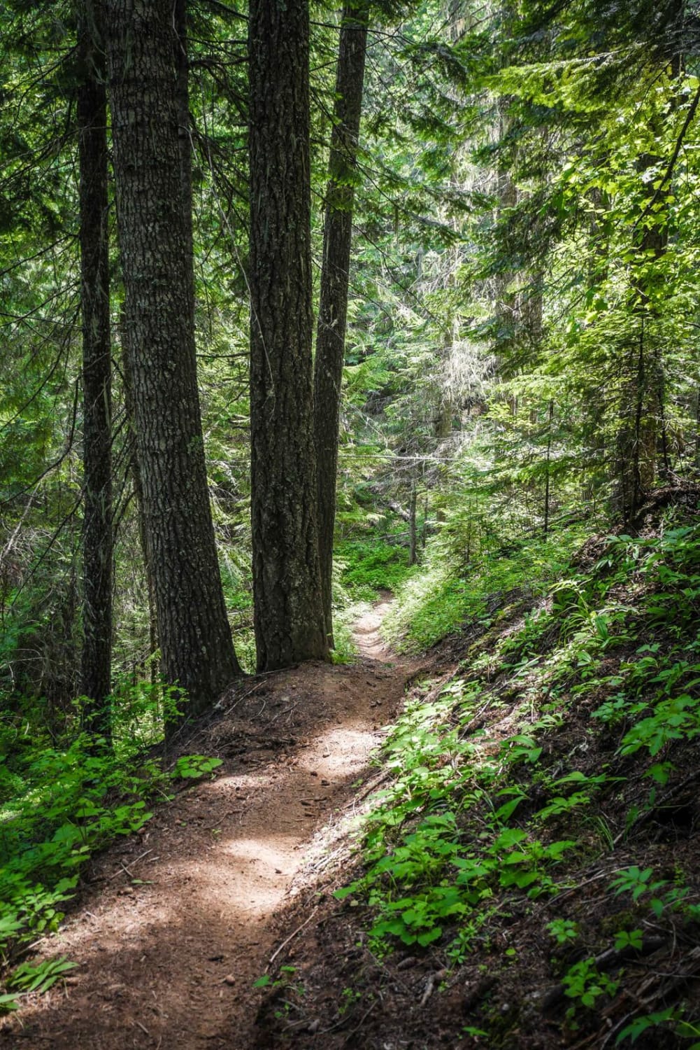
The Westfork Yankee Fork single track is a longer, more arduous dirt bike trail in the Challis National Forest near Stanley, Idaho. This is a fun one with more advanced challenges, incredible views, and many options to connect to other trails to make a longer day ride. It's mostly downhill from west to east. The west end starts in a burn area, descending with switchbacks full of loose, small, round rocks. There are shelfy narrow sections as you cross camber between the switchbacks--the trail dips in and out of small stream crossings that are rocky as well. Watch out for lots of sudden muddy ruts, sometimes like a hole, and water in the trail. This one is more challenging because it's consistently covered in loose rocks, making it more jarring and bumpy. There are smooth sections between the rocky sections for some relief, but it's pretty relentlessly rocky the whole time. There are small ledges, washouts, and sudden tight turns. The memorable part of this trail is that it often pops out of the burn area onto an exposed shale slope above a river, and you have to ride with caution across the bottom of the scree slope. It feels like the screen is sluffing down the river, so you have to be careful. One of these shelfy spots has been built up with wooden slats high above the river and is full of small rocks. More shelfy sections with small pine trees have grown back since the fire. After most of the descent, the trail goes along the West Fork Yankee Fork River, riding at the bottom of the river drainage through valleys with lovely views of the mountain peaks. It crosses a long wooden bridge over Lightning Creek near the bottom. It ends on a dirt road that will take you to the Custer Motorway.
Photos of Westfork Yankee Fork

Difficulty
This trail is more advanced because it is consistently rocky, with steep rocky hill climbs, rocky switchbacks, and small ledges. There are several really narrow exposed shelfy spots with high consequence above the river that need to be navigated with caution.
Status Reports

Popular Trails

East Fork Meadow Creek No. 224 (Part 1)

Hay Knapp Creek (North)
The onX Offroad Difference
onX Offroad combines trail photos, descriptions, difficulty ratings, width restrictions, seasonality, and more in a user-friendly interface. Available on all devices, with offline access and full compatibility with CarPlay and Android Auto. Discover what you’re missing today!