Smith Cemetery Spur Road FS 120A/120B
Total Miles
0.4
Technical Rating
Best Time
Spring, Summer, Fall, Winter
Trail Type
Full-Width Road
Accessible By
Trail Overview
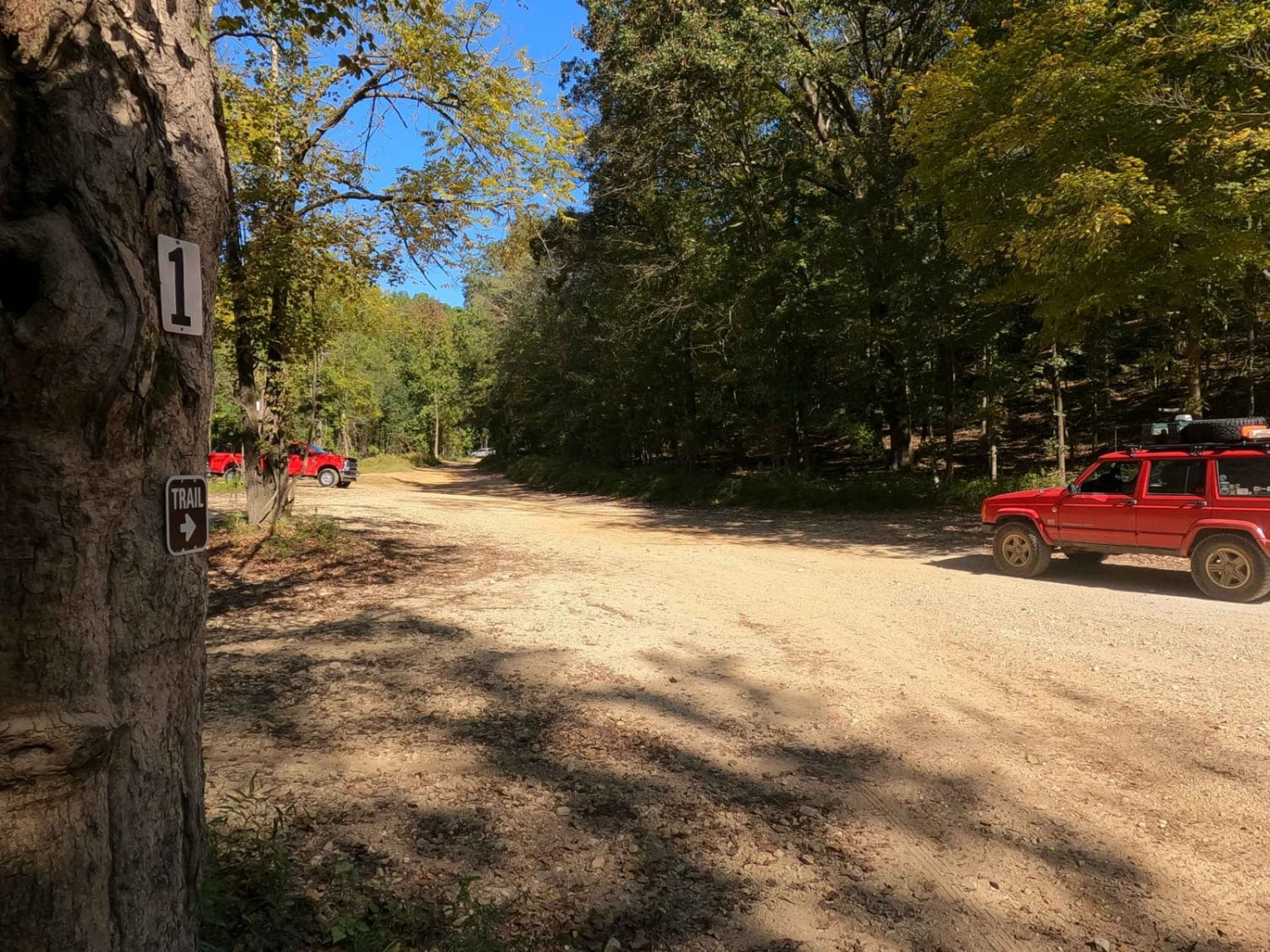
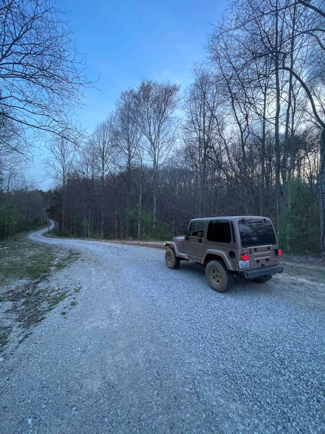
Smith Cemetery Spur Road FS 120A/120B is a gravel spur Forest Service road at the end of the FS 120. It is located in the north Kentucky section, Lake Barkley side, of the Land Between the Lakes National Recreation Area. Despite there being two roads, via unique spur IDs, they are truly one continuous road, with the Smith Cemetery Road FS 120 entering at the midway point of its track, providing access to a different bay of Lake Barkley at each end. The three roads meet at 36.98765, -88.14685. Straight to the north of this intersection is a small shoreline campsite, secluded within a small bay. The FS 120A heads east from the intersection to a small unnamed bay with widespread unhindered lake views northward towards Kuttawa, Kentucky, featuring a fun turnaround and campsite at the endpoint. Nearby is a secondary walking path towards Hotel California, a 0.3-mile hike. The FS 120B heads west from the intersection to the shorelines of Demumbers Bay, with another campsite at its endpoint, but also features the Wilcox 2 Cemetery Access road, the FS 120B1, going north from this campsite. The real advantage of this combo spur road is in the campsite options. On the surface level, it would seem like a boring road to many, but it's handy to those who take the time to understand its purpose and use it to its potential.
Photos of Smith Cemetery Spur Road FS 120A/120B
Difficulty
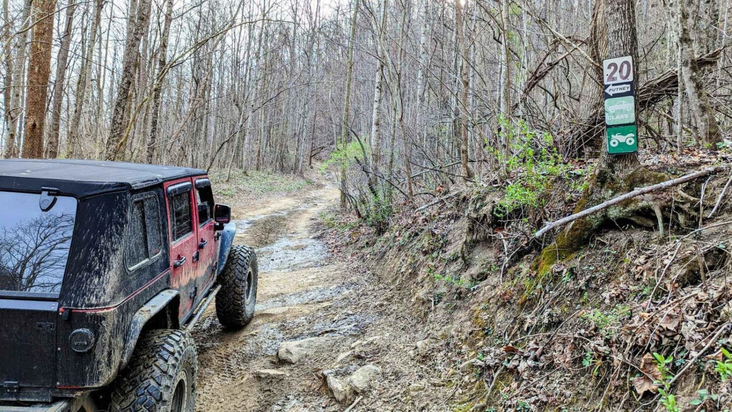
The FS 120A/120B is generally a 1/10 rating throughout, featuring mostly gravel and small sections of old black top that have mostly degraded and broken apart. Outside of the 1/10 rating, the only exception is the turnaround on the FS 120A which features a climb up and out of the area the campsite rests on. This would fall in the 3/10 territory, featuring mild rutting and a moderately steep incline. 4x4 is a big plus to climb it, especially if wet. At a minimum, expect washboards, potholes, mounding of the gravel, and spots where the gravel fades to dirt. The road could become more difficult after heavy use, wet conditions, and inclement weather, but it will likely be mended to a 1/10 road again.
History
The trail features the Wilcox family cemetery at 36.98948, -88.15187, which is accessed north of the FS 120B and features 7 gravesites. Please pay respect to those who came before us. The big relic of the trail is Hotel California, found at 36.98707, -88.14209, a motel-looking block house tucked into the valley east of the Smith Cemetery and to the south of the FS 120A trail. The main hiking path entry to the Hotel California can be easily found with painted boulders resting on the east shoulder of the FS 120 at 36.98387, -88.14195, but can also be accessed via walking roughly 1,200 feet through the woods from FS1120A. The home was owned by Grover Marler, a retired riverboat captain, building a retirement home for himself and his wife. The origins of the structure are speculated in the 1950s, shortly before the 1960s land takeover by the Tennessee Valley Authority in the LBL area. Historical photos and info are sourced from TVA and https://www.fourriversexplorer.com/hotel-california-in-lbl/.
Status Reports
Smith Cemetery Spur Road FS 120A/120B can be accessed by the following ride types:
- High-Clearance 4x4
- SUV
Smith Cemetery Spur Road FS 120A/120B Map
Popular Trails

1 to 2 Road
The onX Offroad Difference
onX Offroad combines trail photos, descriptions, difficulty ratings, width restrictions, seasonality, and more in a user-friendly interface. Available on all devices, with offline access and full compatibility with CarPlay and Android Auto. Discover what you’re missing today!


