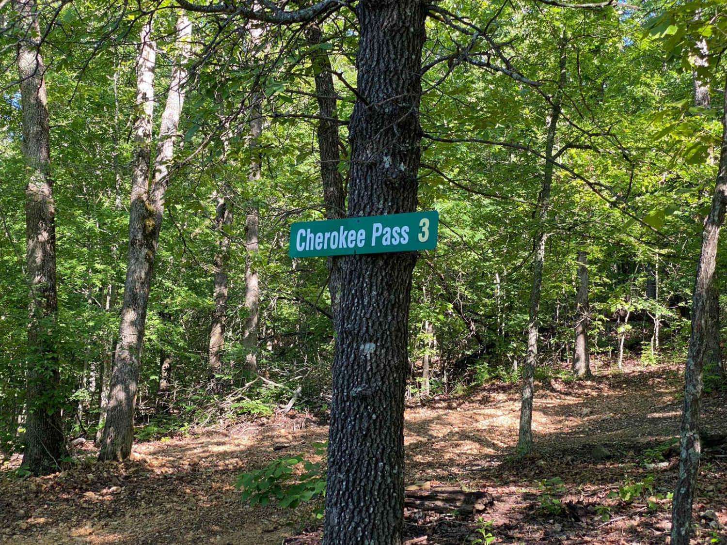
Cherokee Pass
Total Miles
0.5
Elevation
482.33 ft
Duration
0.5 Hours
Technical Rating
Best Time
Spring, Summer, Fall
Trail Overview
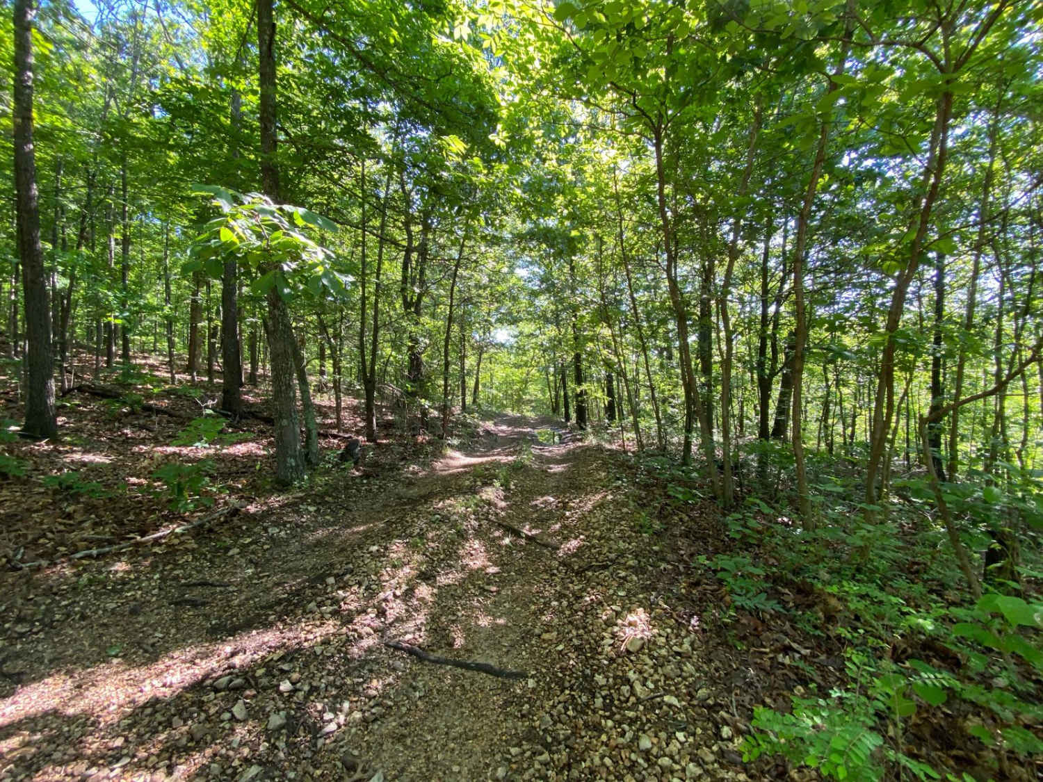
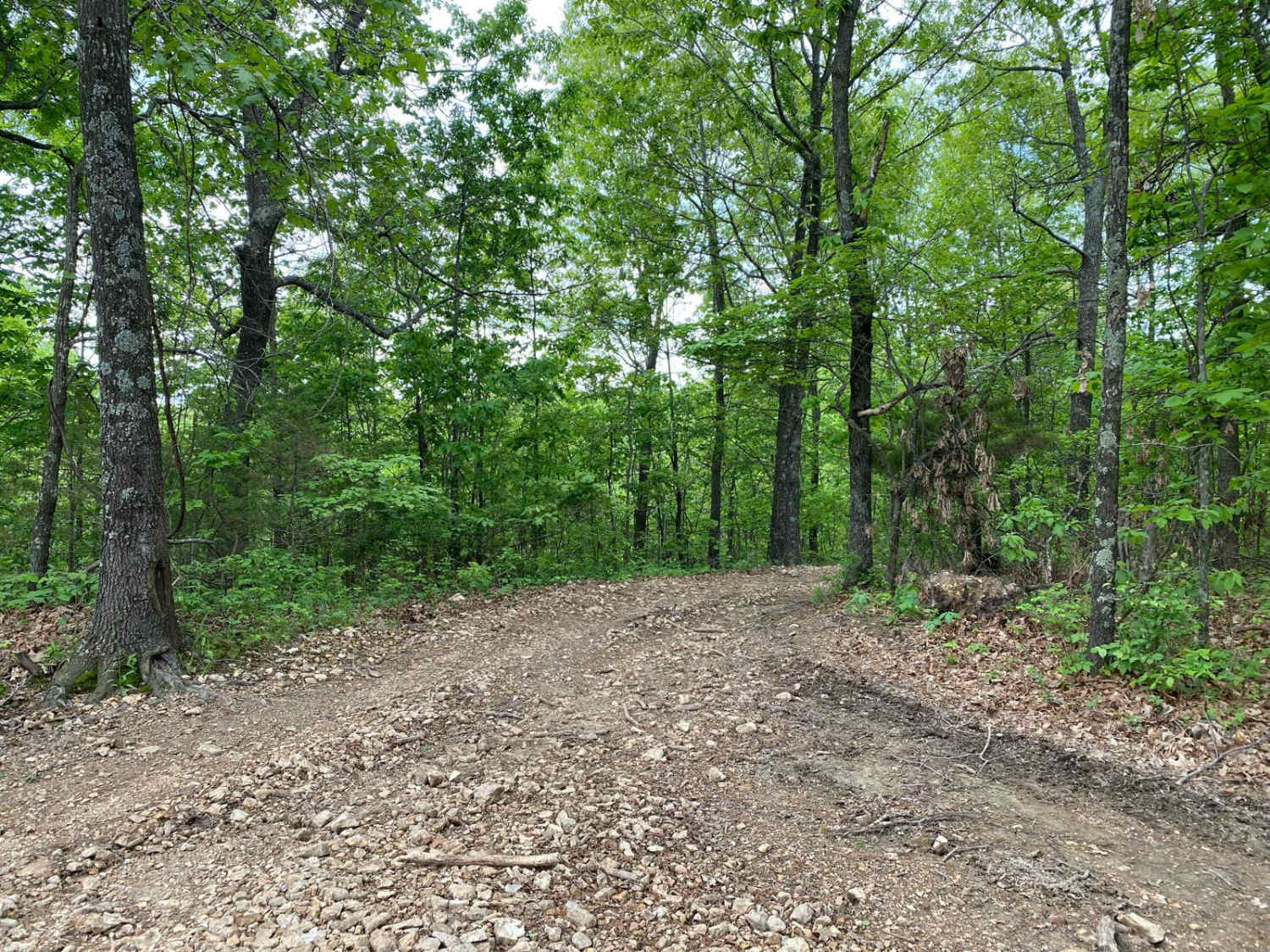
Cherokee Pass is an offshoot trail towards the top of Brixey Hill. This is a scenic drive through the winding trees, with some spots being tighter to navigate for longer wheelbases. This trail does have areas that are rutted and will have mud puddles. You wil also encounter a few spots with steep grades along the way, upwards of 23 degrees. This trail does have some overgrowth with low-hanging limbs from trees. There are a handful of bouncer/buggy trails that connect to Cherokee Pass at multiple junctions, but there is clear signage for these harder trails.
Photos of Cherokee Pass
Difficulty
You will encounter steep grades upwards of 23 degrees as well as areas throughout the trail that are rutted out and will be mud puddles.
Status Reports
Popular Trails
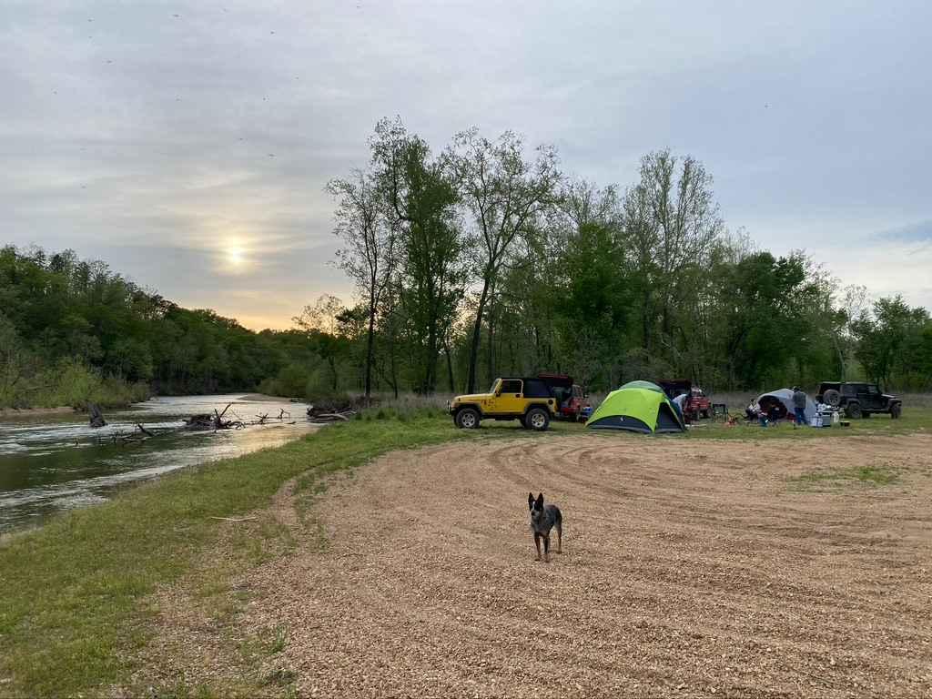
Whizenhunt Bottoms
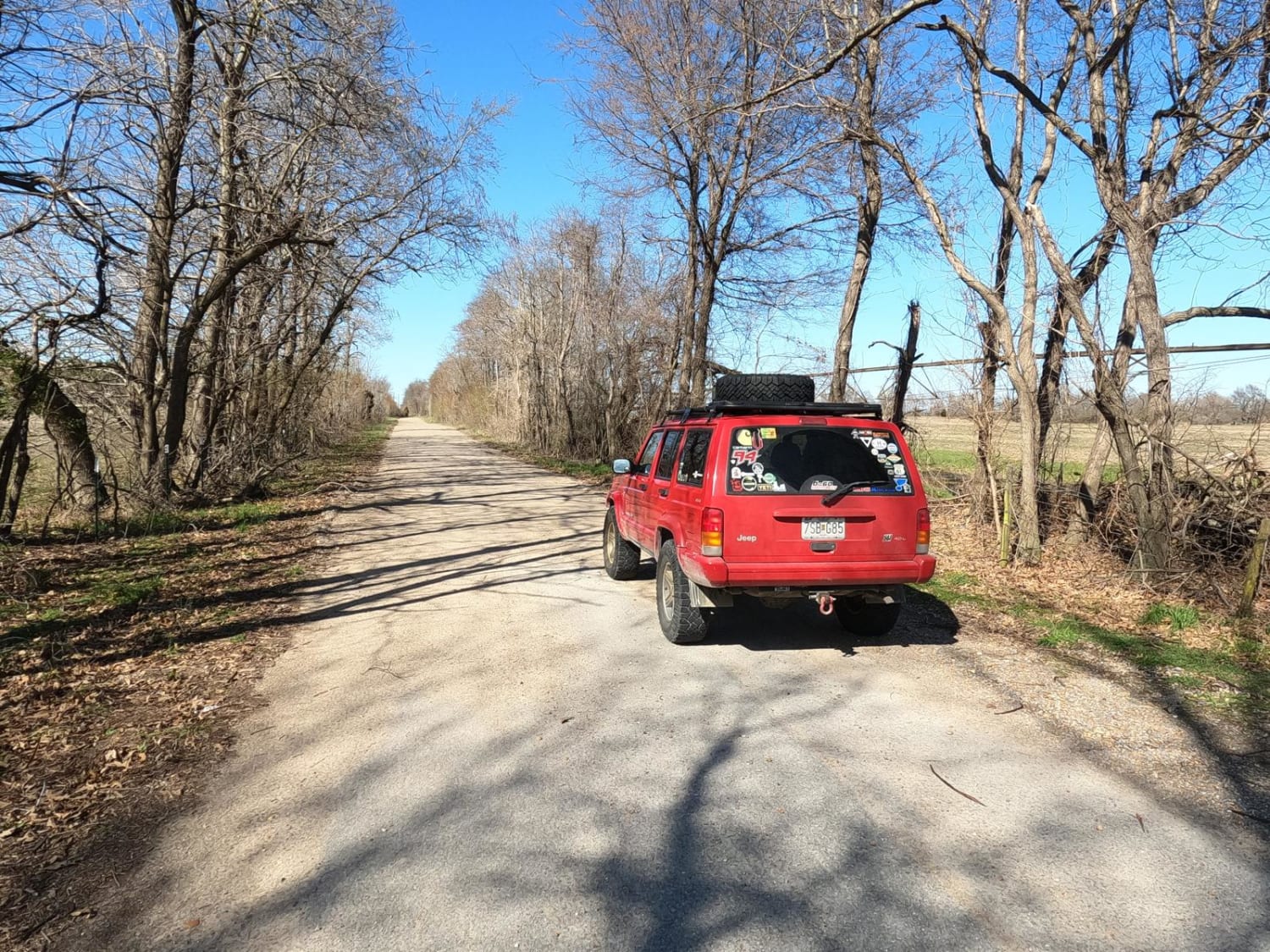
Scott County Road 405
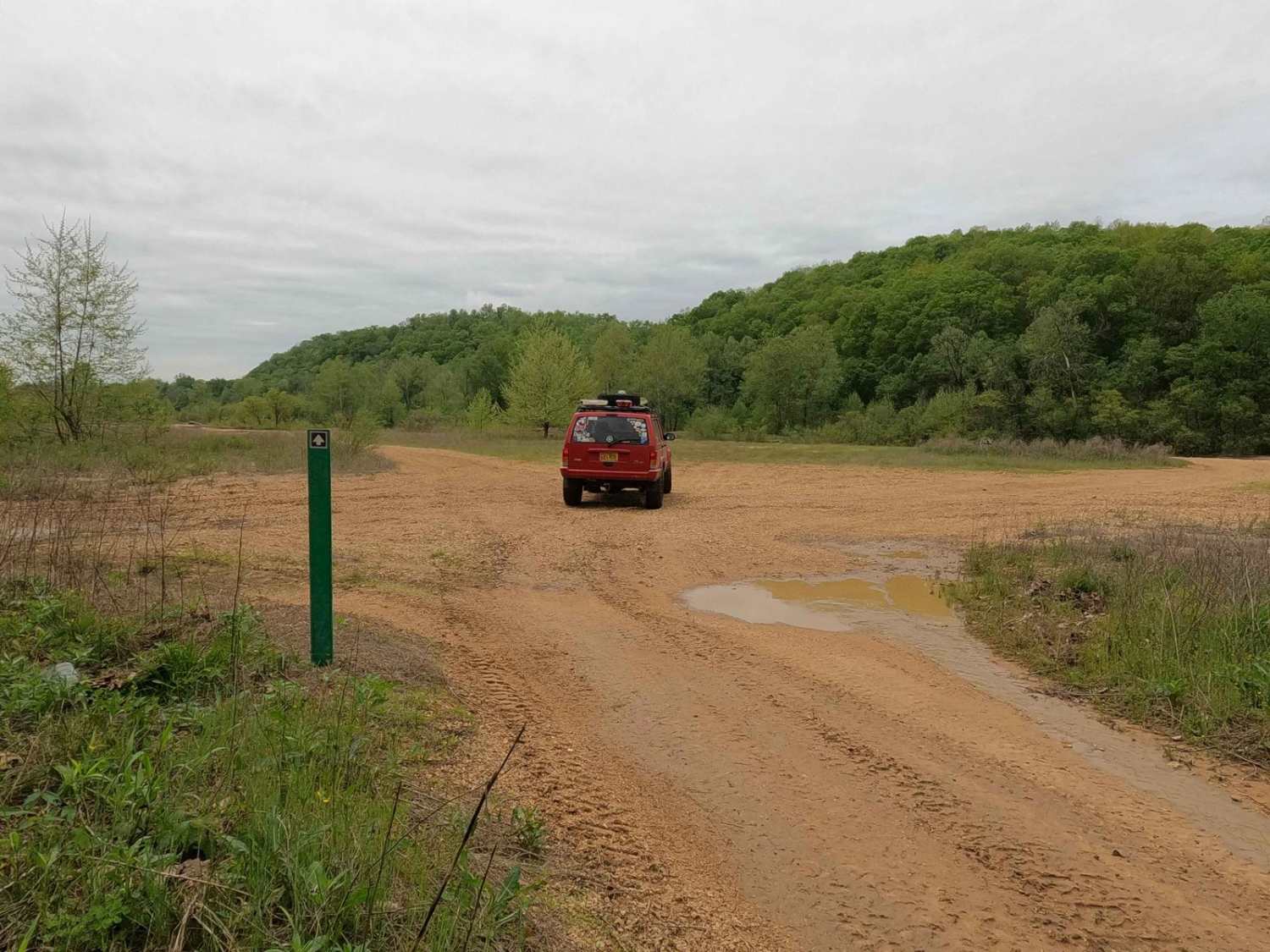
South Riverside
The onX Offroad Difference
onX Offroad combines trail photos, descriptions, difficulty ratings, width restrictions, seasonality, and more in a user-friendly interface. Available on all devices, with offline access and full compatibility with CarPlay and Android Auto. Discover what you’re missing today!
