Off-Road Trails in South Carolina

Discover off-road trails in South Carolina

Learn more about Pitch Landing - FSR 192
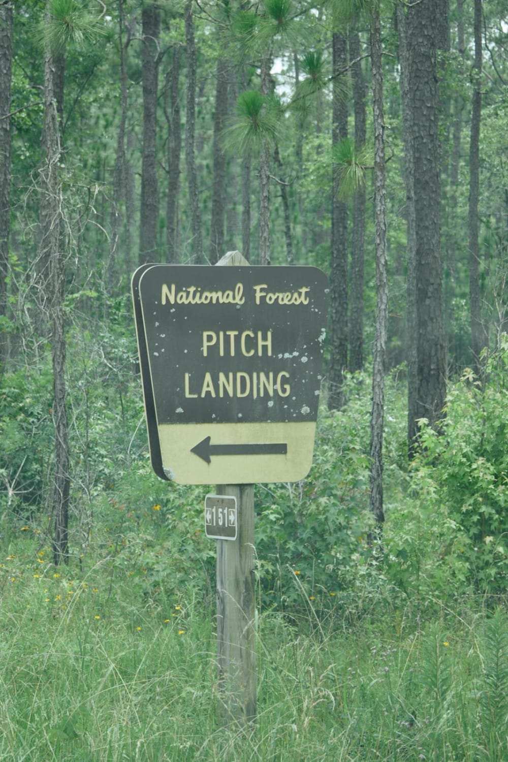
Pitch Landing - FSR 192

Pitch Landing - FSR 192

The Francis Marion National Forest is located north of Charleston, South Carolina. It is named for revolutionary war hero Francis Marion, who was known to the British as the Swamp Fox. It lies entirely within…
Learn more about Pitch Landing - FSR 192
Total Miles
0.8
Tech Rating
1 Easy
Best Time
Spring, Summer, Fall, Winter
Learn more about Port Road - FSR223
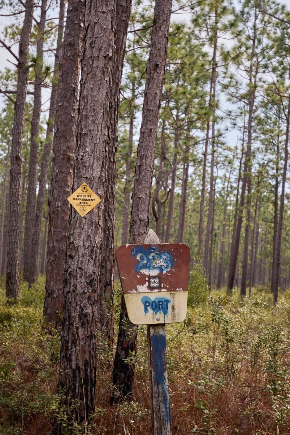
Port Road - FSR223

Port Road - FSR223

The Francis Marion National Forest is located north of Charleston, South Carolina. It is named for Revolutionary War hero Francis Marion, who was known to the British as the Swamp Fox. It lies entirely within…
Learn more about Port Road - FSR223
Total Miles
4.0
Tech Rating
1 Easy
Best Time
Spring, Summer, Fall, Winter
Learn more about Price Road (615)
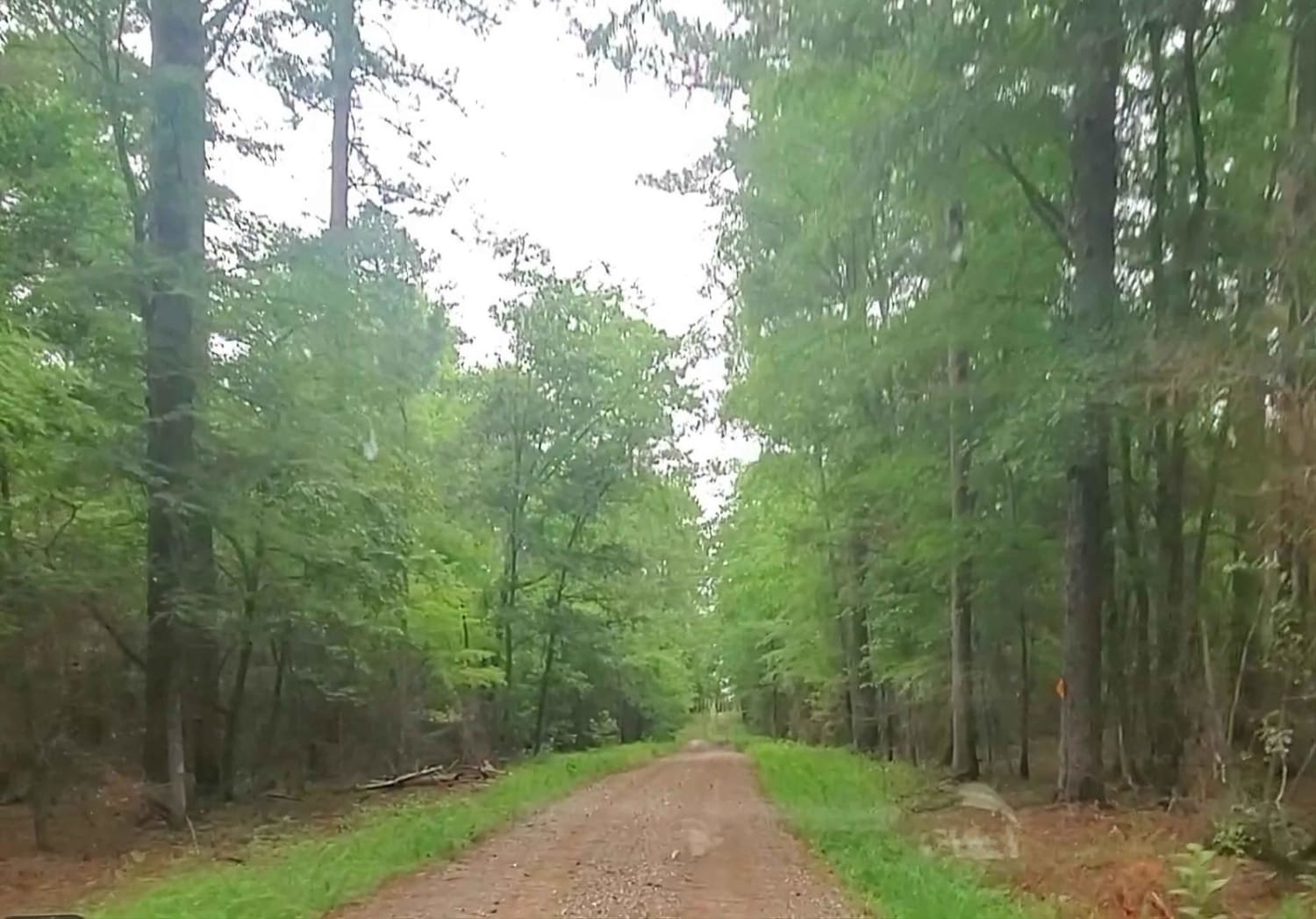
Price Road (615)

Price Road (615)

Price Road (Forest Service Road 615) is an easy 4.5-mile dirt road between Price's Mill Road and Deerfield Road. This road cuts through the Sumter National Forest, and minimal obstacles are likely to be encountered.…
Learn more about Price Road (615)
Total Miles
4.4
Tech Rating
1 Easy
Best Time
Winter, Fall, Summer, Spring
Learn more about Santee Bluff - FSR 150
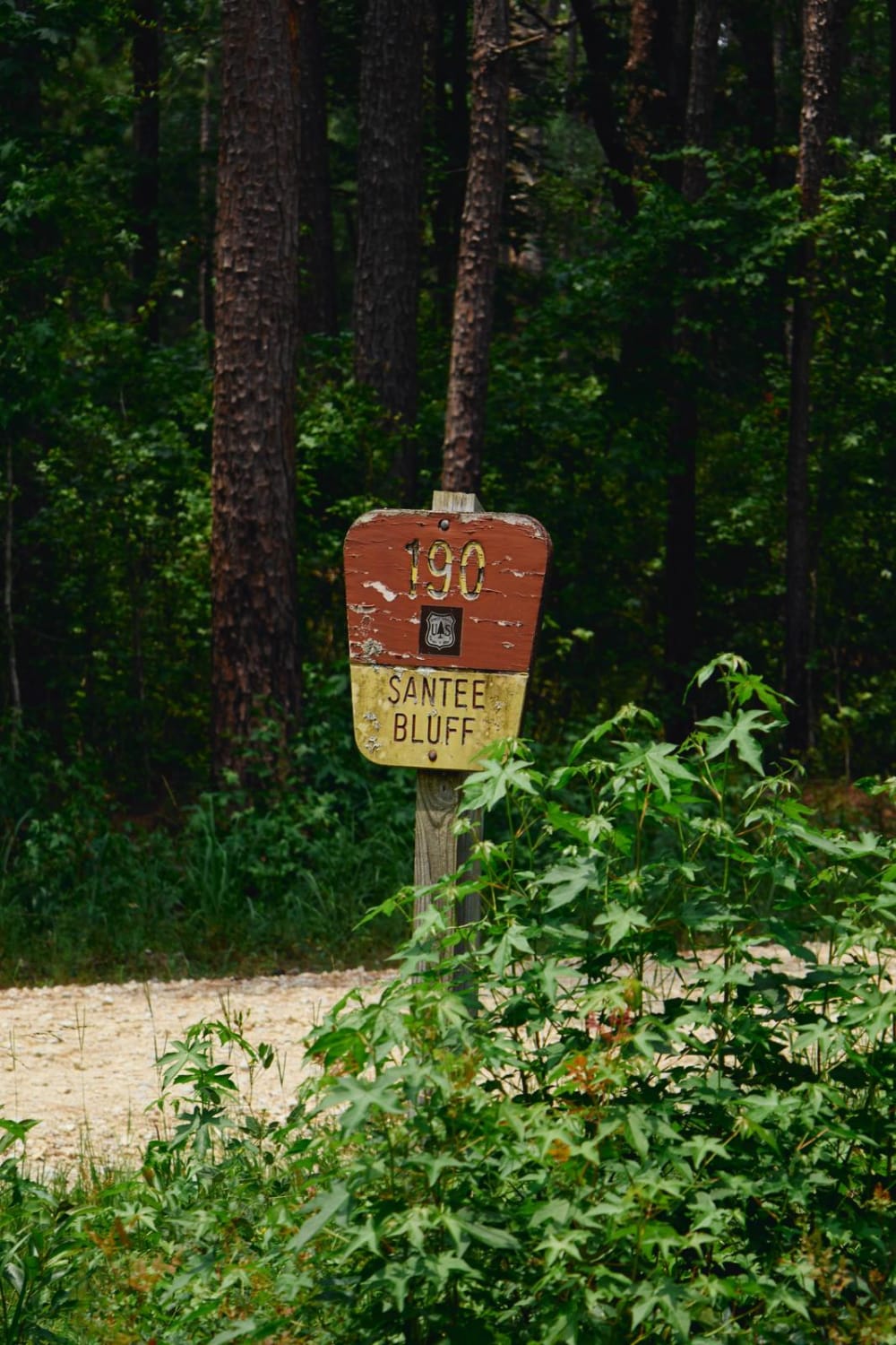
Santee Bluff - FSR 150

Santee Bluff - FSR 150

The Francis Marion National Forest is located north of Charleston, South Carolina. It is named for revolutionary war hero Francis Marion, who was known to the British as the Swamp Fox. It lies entirely within…
Learn more about Santee Bluff - FSR 150
Total Miles
3.7
Tech Rating
1 Easy
Best Time
Spring, Summer, Fall, Winter
Learn more about Santee Coastal WMA
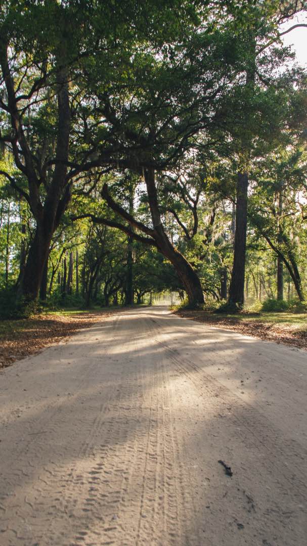
Santee Coastal WMA

Santee Coastal WMA

Santee Coastal Reserve Wildlife Management Area was established by the South Carolina Department of Natural Resources due to the purchase and donation of the property by The Nature Conservancy in 1974. This unique property represents…
Learn more about Santee Coastal WMA
Total Miles
4.1
Tech Rating
1 Easy
Best Time
Spring, Summer, Fall, Winter
Learn more about Sassafras - SCAR Alternate
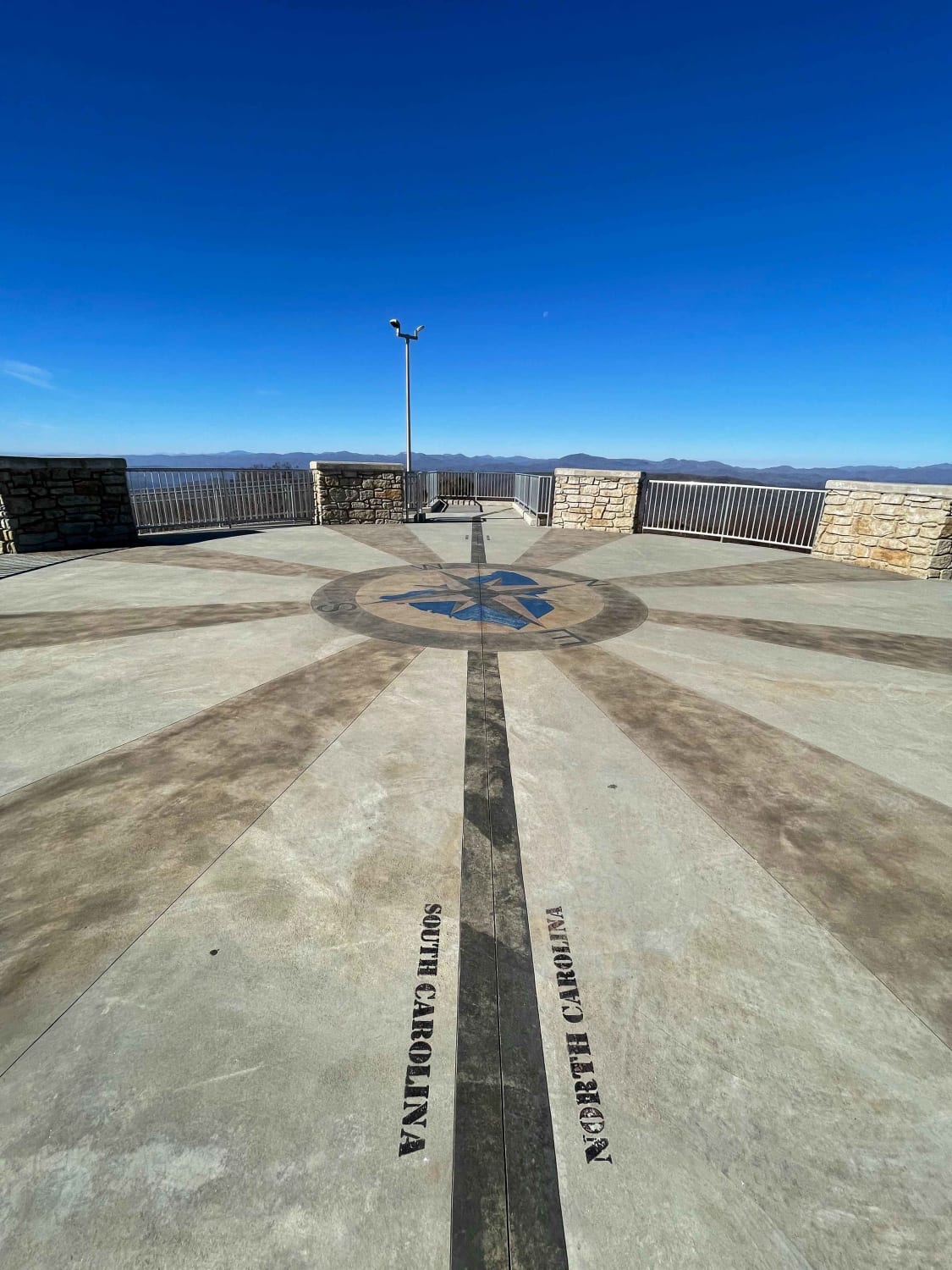
Sassafras - SCAR Alternate

Sassafras - SCAR Alternate

This scenic out and back trail is located West of Table Rock and largely paved. It will lead you to South Carolina's highest point of elevation and is a great addition to the main South…
Learn more about Sassafras - SCAR Alternate
Total Miles
8.7
Tech Rating
1 Easy
Best Time
Spring, Summer, Fall, Winter
Learn more about Savannah National Wildlife Refuge Scenic Drive
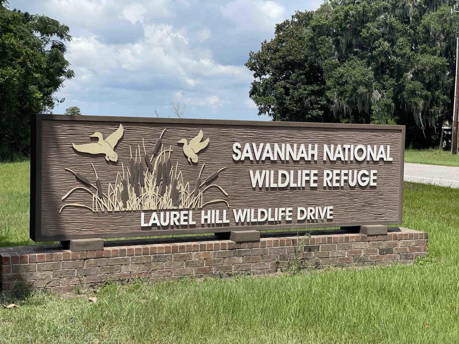
Savannah National Wildlife Refuge Scenic Drive

Savannah National Wildlife Refuge Scenic Drive

This unique trail offers something a little different than your normal off-road trail. As you cruise at 5 MPH you will witness many species of birds, insects, and reptiles including the American Alligator as they…
Learn more about Savannah National Wildlife Refuge Scenic Drive
Total Miles
4.8
Tech Rating
1 Easy
Best Time
Spring, Fall, Summer, Winter
Learn more about SCAR Connector - Edisto

SCAR Connector - Edisto

SCAR Connector - Edisto

This Connector between the SCAR Loop and Edisto Beach is a scenic and mostly pavement jaunt in the coastal plain, over a causeway, and under tunnels of dangling Spanish moss. Be sure to allow time…
Learn more about SCAR Connector - Edisto
Total Miles
62.6
Tech Rating
1 Easy
Best Time
Spring, Summer, Fall, Winter
Learn more about SCAR Connector-Loop
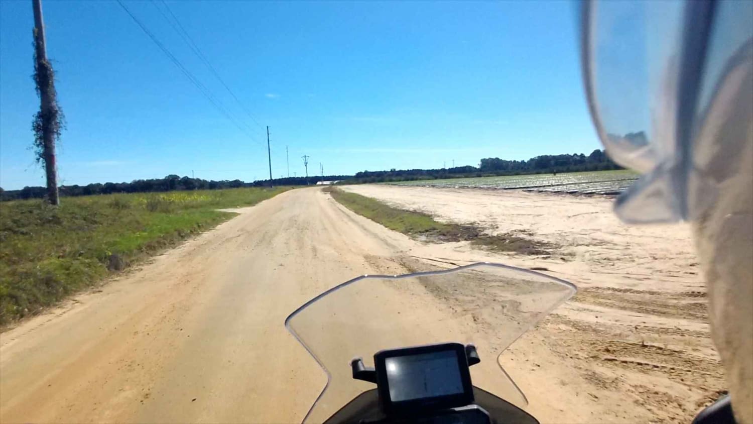
SCAR Connector-Loop

SCAR Connector-Loop

This Connector Loop bisects the primary SCAR Loop, passing near the twin towns of Batesburg-Leesville, over the narrow end of Lake Murray, and through Newberry. It contains a mix of paved and unpaved roads. Off-pavement…
Learn more about SCAR Connector-Loop
Total Miles
86.0
Tech Rating
2 Easy
Best Time
Spring, Summer, Fall, Winter
Learn more about SCAR Northeast Alternate
SCAR Northeast Alternate

SCAR Northeast Alternate

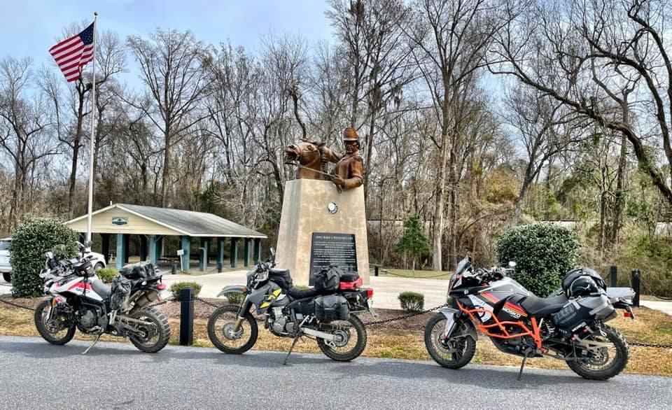
Covering the northeast portion of the state, this significant addition transits Sandhills State Forest and the Carolina National Wildlife Refuge, providing an alternate route between Liberty Hill WMA and Francis Marion National Forest. Campsites marked…
Learn more about SCAR Northeast Alternate
Total Miles
239.6
Tech Rating
2 Easy
Best Time
Spring, Summer, Fall, Winter
Learn more about SCAR Southeast Alternate
SCAR Southeast Alternate

SCAR Southeast Alternate

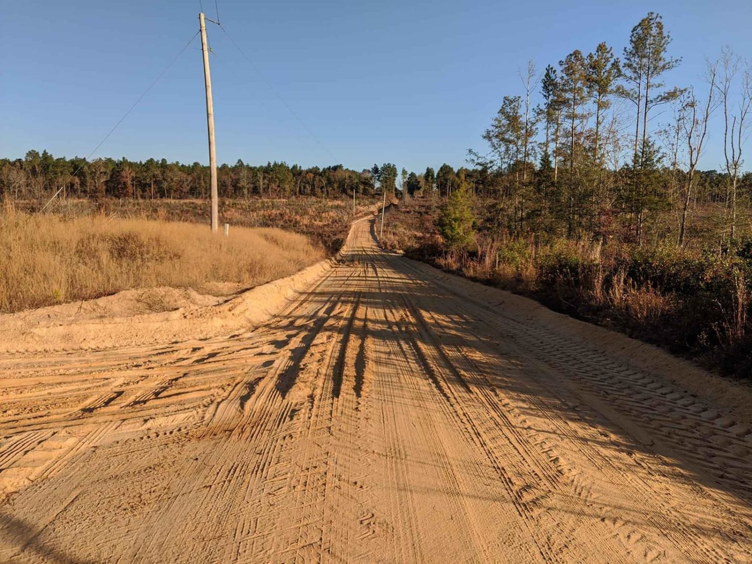
This route traverses the heart of the Sandhills region (which spans the state betwen Columbia and I-95), and it definitely delivers sand. It is approximately 80% off-pavement, and some of the sandy sections can be…
Learn more about SCAR Southeast Alternate
Total Miles
122.5
Tech Rating
2 Easy
Best Time
Spring, Summer, Fall, Winter
Learn more about Service Road 17 (SR 17)
Service Road 17 (SR 17)

Service Road 17 (SR 17)

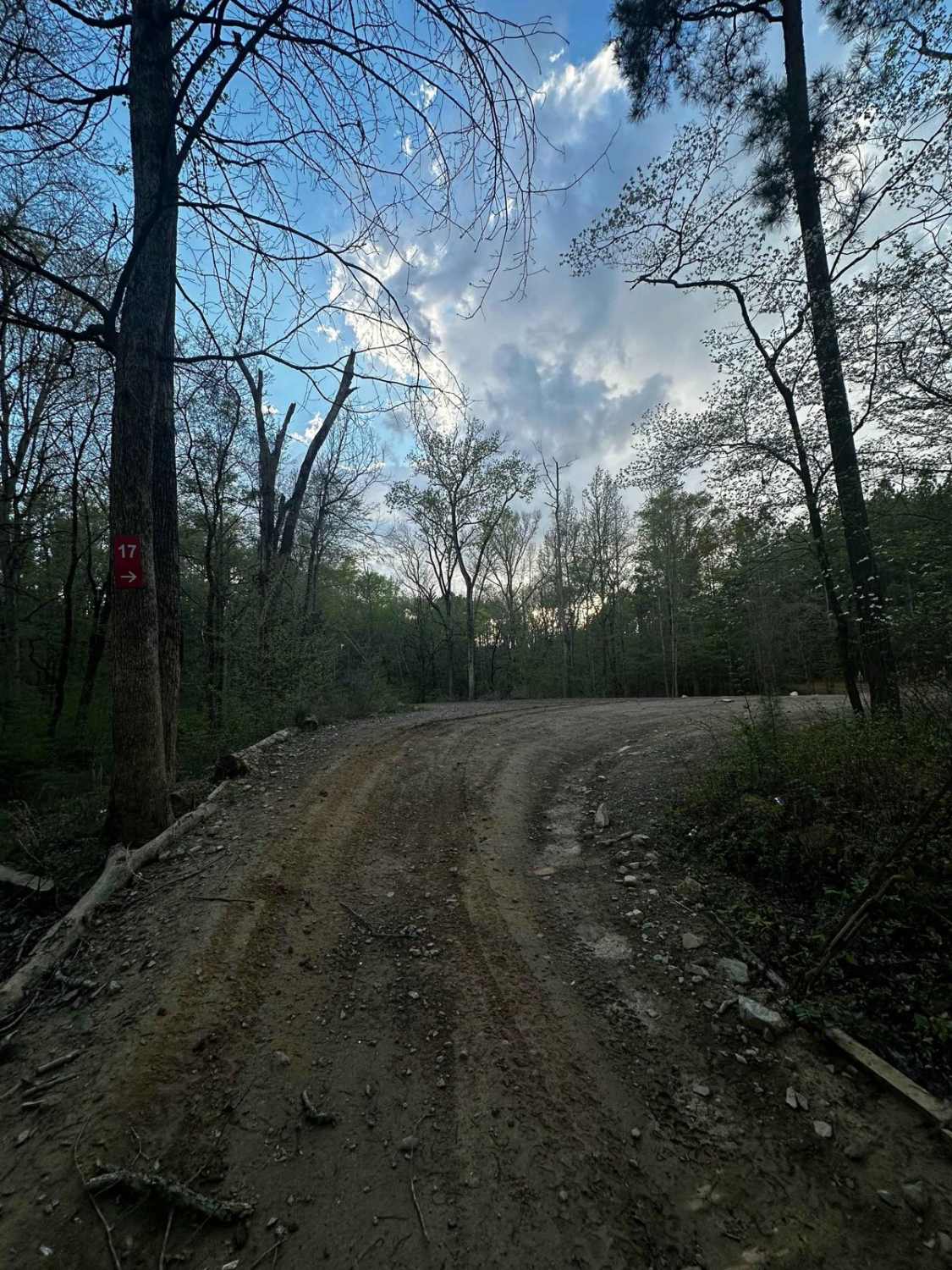
SR 17 is the road from the bridge crossing to SR 18. It's mainly a dirt road with some bedrock in one section. Trail 6, SR 18, the end of Trail 44, and a shortcut…
Learn more about Service Road 17 (SR 17)
Total Miles
0.4
Tech Rating
1 Easy
Best Time
Summer, Spring, Fall, Winter
Learn more about Service Road 4 (SR 4)
Service Road 4 (SR 4)

Service Road 4 (SR 4)

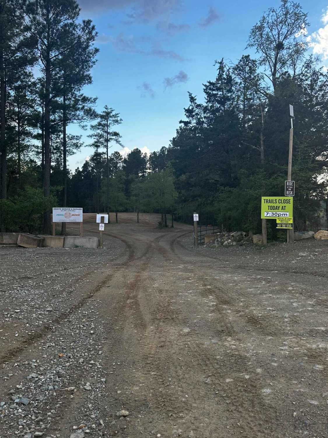
One of our main service roads that leads to trails, SR 4 is rocky in some areas. It's a very wide road that is very dusty if the ground is dry. The road is used…
Learn more about Service Road 4 (SR 4)
Total Miles
0.6
Tech Rating
1 Easy
Best Time
Summer, Winter, Spring, Fall
Learn more about Shelby Drive
Shelby Drive

Shelby Drive

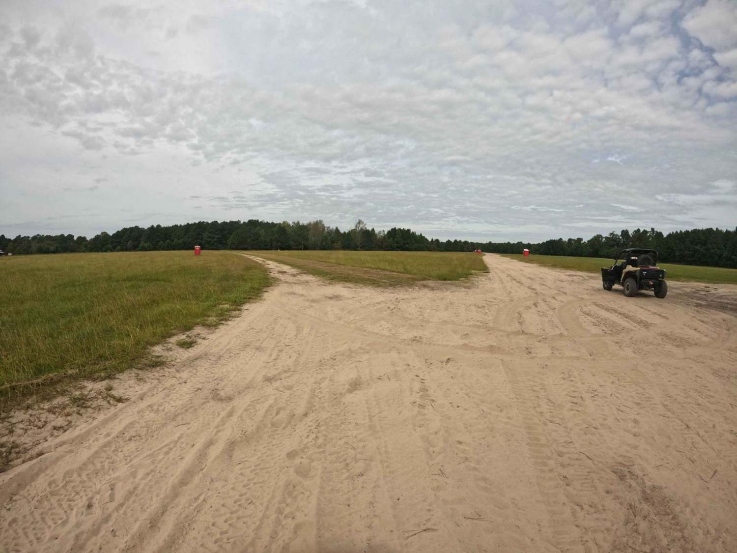
Shelby Drive has a split personality. Leaving from the northwest section of the campground, it is wide and comprised of compact sand that has plenty of room for multiple vehicles to pass. However, if you…
Learn more about Shelby Drive
Total Miles
0.7
Tech Rating
2 Easy
Best Time
Spring, Fall, Winter
Learn more about Shooting Tree Ridge Road
Shooting Tree Ridge Road

Shooting Tree Ridge Road

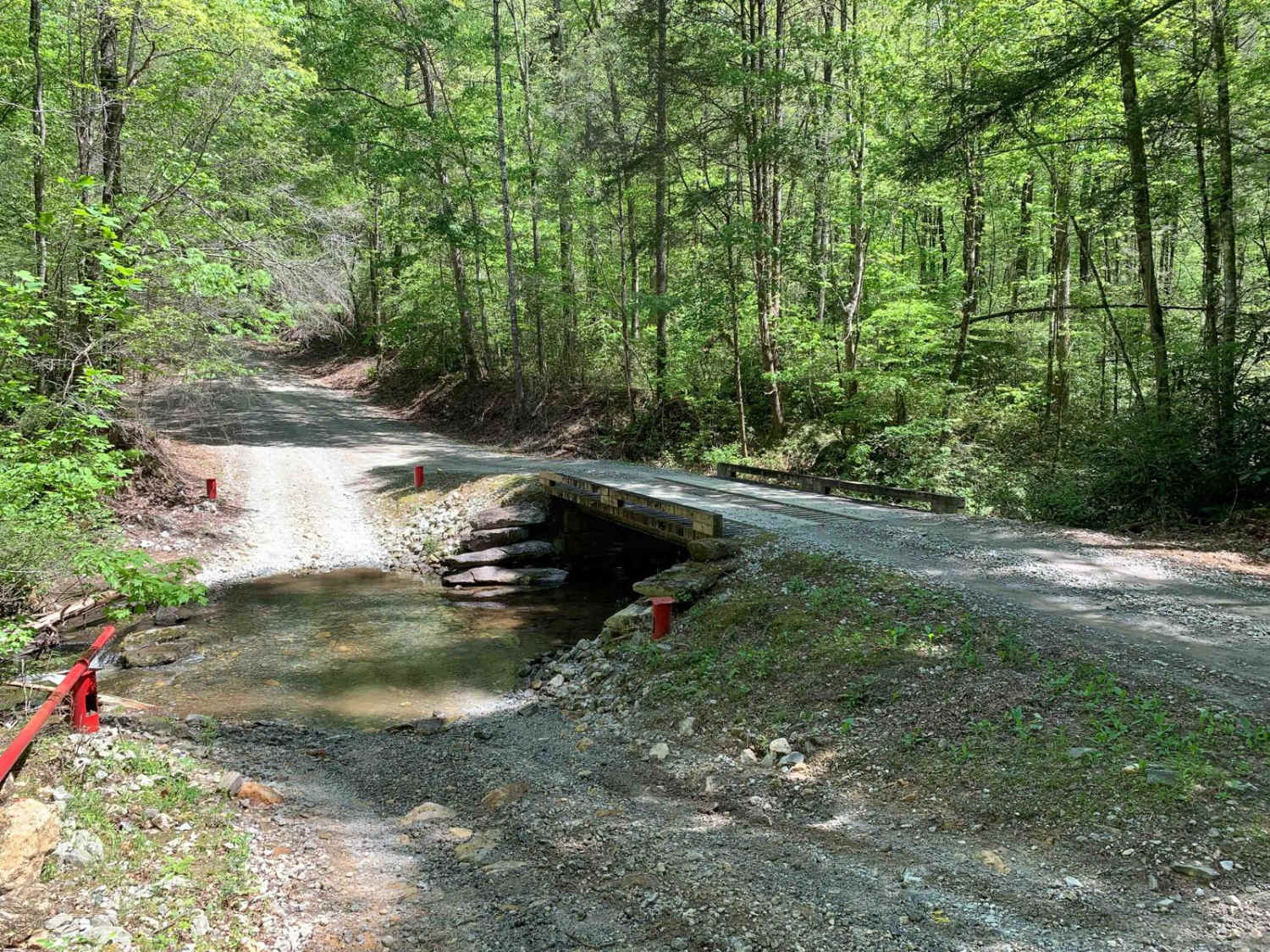
Shooting Tree Ridge is a gravel forest road located within the Jocassee Gorges of upstate South Carolina, just east of Lake Jocassee in Pickens County. The 8.5-mile trail runs from Cleo Chapman Highway in Eastatoee,…
Learn more about Shooting Tree Ridge Road
Total Miles
8.7
Tech Rating
2 Easy
Best Time
Spring, Fall
Learn more about Slash Road - FSR226
Slash Road - FSR226

Slash Road - FSR226

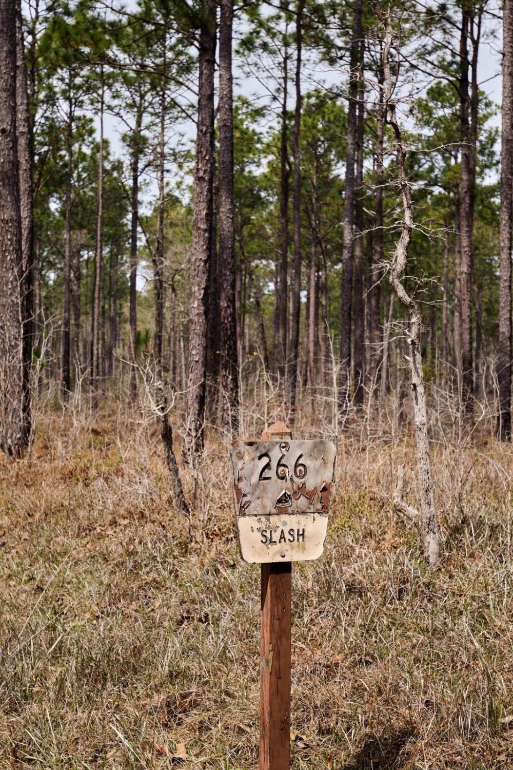
The Francis Marion National Forest is located north of Charleston, South Carolina. It is named for Revolutionary War hero Francis Marion, who was known to the British as the Swamp Fox. It lies entirely within…
Learn more about Slash Road - FSR226
Total Miles
2.1
Tech Rating
5 Moderate
Best Time
Spring, Summer, Fall, Winter
Learn more about South Carolina Adventure Route Segment 1
South Carolina Adventure Route Segment 1

South Carolina Adventure Route Segment 1

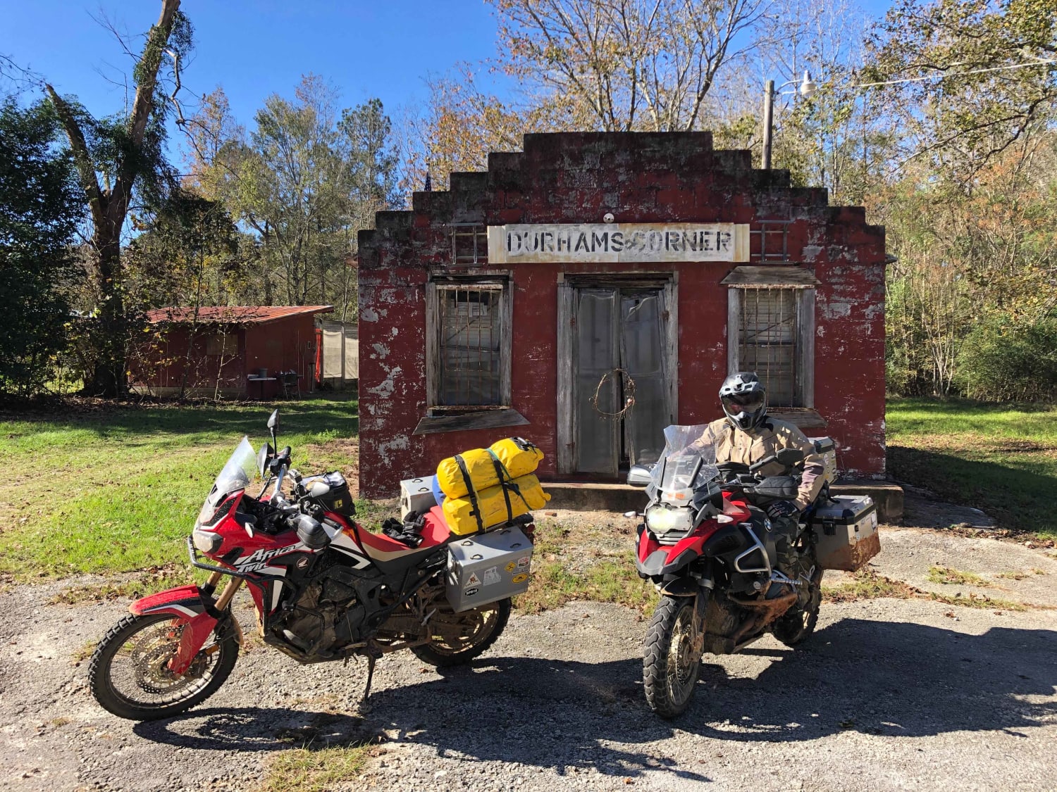
Segment 1 of the South Carolina Adventure Route (SCAR) stretches from I-95 near Colleton State Park to the historic town of Edgefield South Carolina. It passes through what is known as the "sandhills" region of…
Learn more about South Carolina Adventure Route Segment 1
Total Miles
138.6
Tech Rating
2 Easy
Best Time
Summer, Fall, Spring, Winter
Learn more about South Carolina Adventure Route Segment 2
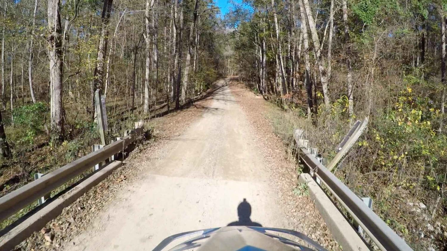
South Carolina Adventure Route Segment 2

South Carolina Adventure Route Segment 2

Segment 2 of the South Carolina Adventure Route wanders between the towns of Edgefield and Westminster, traversing one of the three sections of Sumter National Forest along the way. The trail through this region is…
Learn more about South Carolina Adventure Route Segment 2
Total Miles
197.6
Tech Rating
1 Easy
Best Time
Summer, Fall, Spring, Winter
Learn more about South Carolina Adventure Route Segment 3
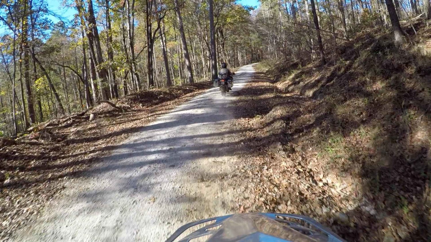
South Carolina Adventure Route Segment 3

South Carolina Adventure Route Segment 3

Segment 3 is the "upstate" section of the SCAR, and is bookended by the towns of Westminster and Gaffney. This section transits the Blue Ridge Mountains and consists of some fabulous gravel roads with a…
Learn more about South Carolina Adventure Route Segment 3
Total Miles
212.0
Tech Rating
2 Easy
Best Time
Spring, Summer, Fall, Winter
Learn more about South Carolina Adventure Route Segment 4
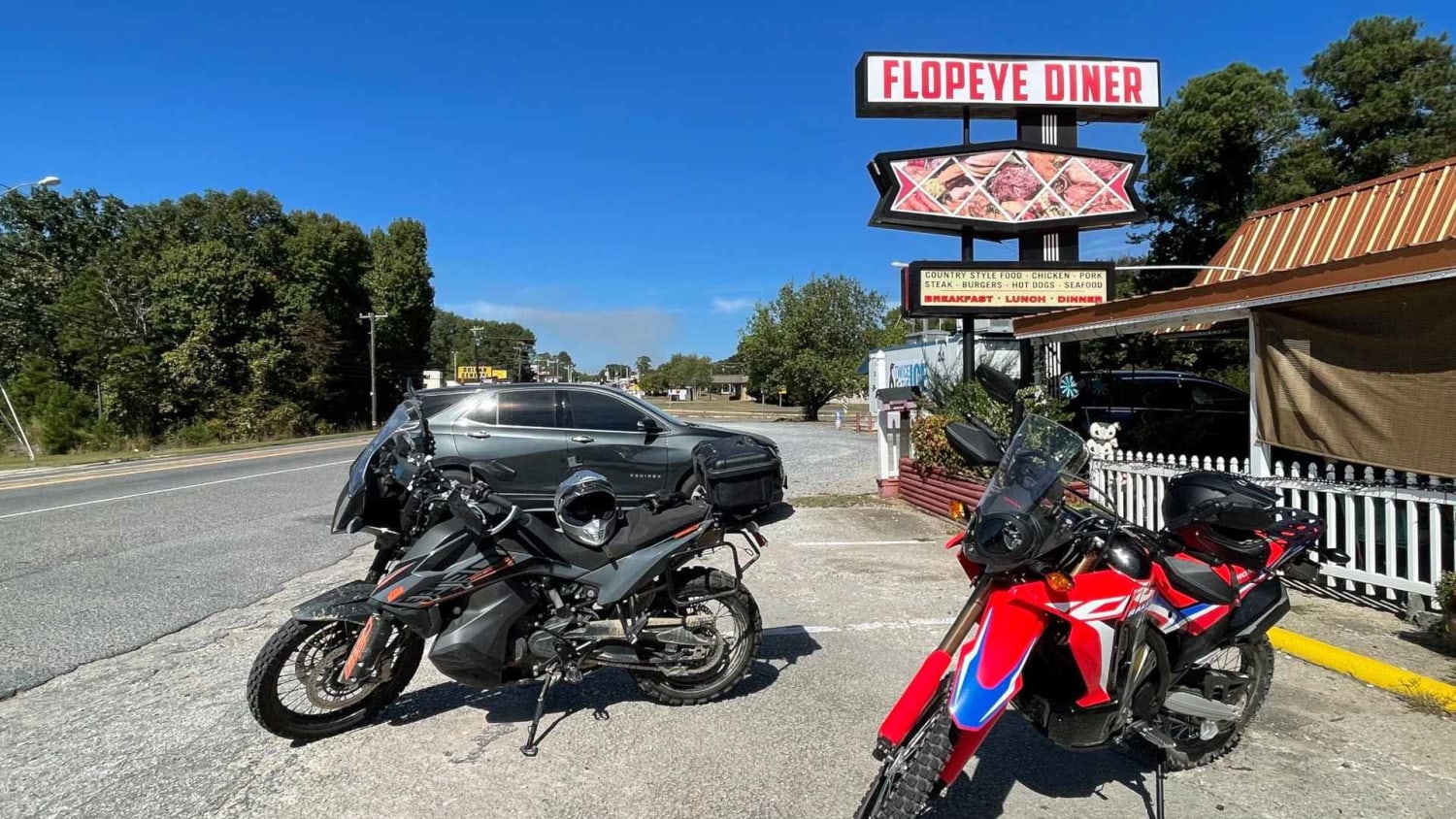
South Carolina Adventure Route Segment 4

South Carolina Adventure Route Segment 4

Segment 4 transits the "midlands" section of South Carolina, with the towns of Gaffney and Camden on each end. This section is mostly forested and contains a mixture of pavement, gravel, and clay roads. The…
Learn more about South Carolina Adventure Route Segment 4
Total Miles
214.1
Tech Rating
3 Easy
Best Time
Spring, Summer, Fall, Winter

The onX Offroad Difference

onX Offroad combines trail photos, descriptions, difficulty ratings, width restrictions, seasonality, and more in a user-friendly interface. Available on all devices, with offline access and full compatibility with CarPlay and Android Auto. Discover what you’re missing today!