Off-Road Trails in South Carolina

Discover off-road trails in South Carolina

Learn more about South Carolina Adventure Route Segment 5
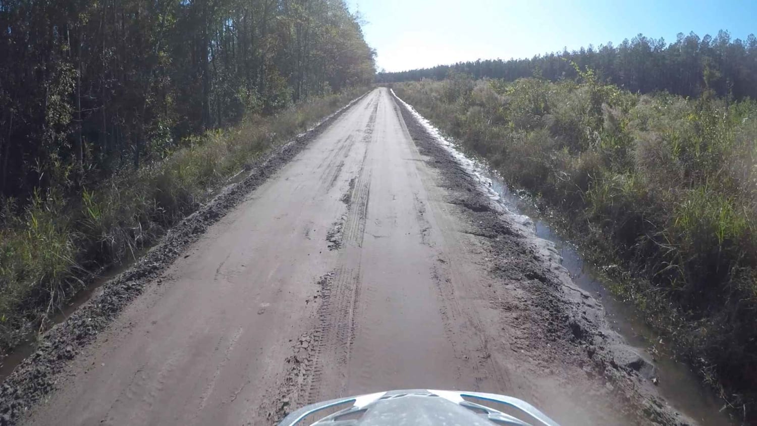
South Carolina Adventure Route Segment 5

South Carolina Adventure Route Segment 5

Segment 5 is the longest section of the SCAR Loop, and stretches between the towns of Camden and St George. The north end of this segment briefly passes through what is known as the "Sandhills"…
Learn more about South Carolina Adventure Route Segment 5
Total Miles
243.6
Tech Rating
2 Easy
Best Time
Summer, Fall, Spring, Winter
Learn more about Stevens Creek (632)
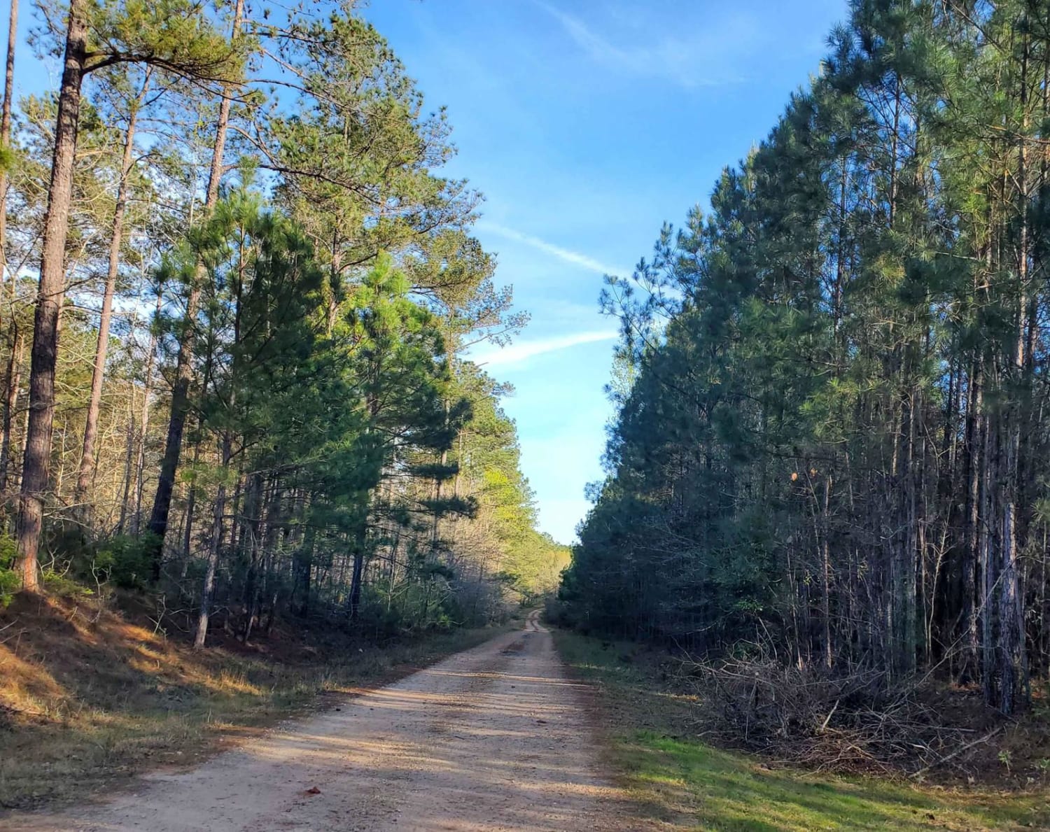
Stevens Creek (632)

Stevens Creek (632)

Stevens Creed Road (632) traverses a portion of the Sumter National Forest, leading to the Modoc Hiking Trailhead. The majority of the road is well maintained however, rutty road conditions may be encountered throughout with…
Learn more about Stevens Creek (632)
Total Miles
2.8
Tech Rating
2 Easy
Best Time
Fall, Summer, Spring
Learn more about Stills Landing - FSR 211B
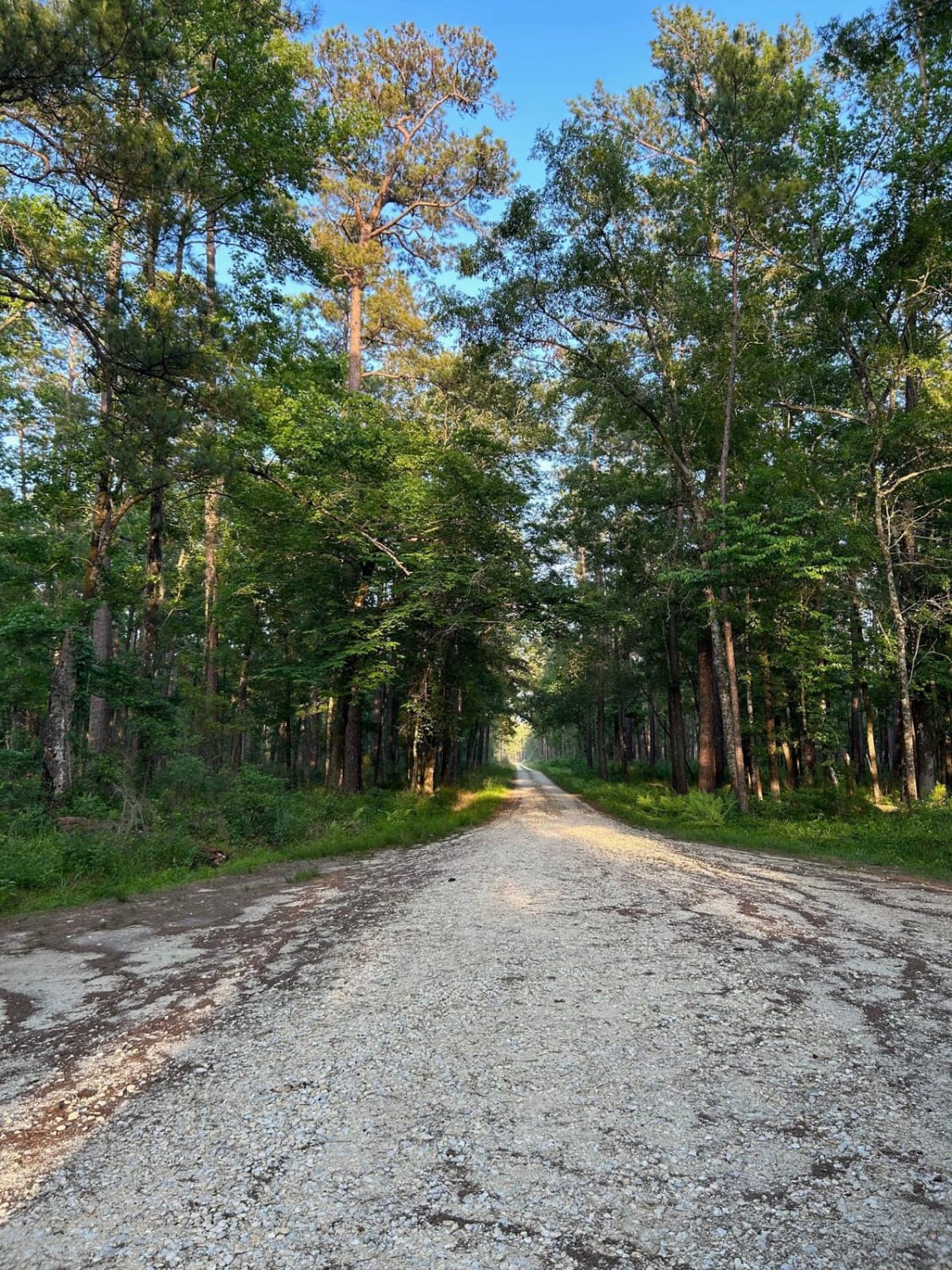
Stills Landing - FSR 211B

Stills Landing - FSR 211B

The Francis Marion National Forest is located north of Charleston, South Carolina. It is named for revolutionary war hero Francis Marion, who was known to the British as the Swamp Fox. It lies entirely within…
Learn more about Stills Landing - FSR 211B
Total Miles
0.4
Tech Rating
1 Easy
Best Time
Spring, Summer, Fall, Winter
Learn more about Swamp Fox 1
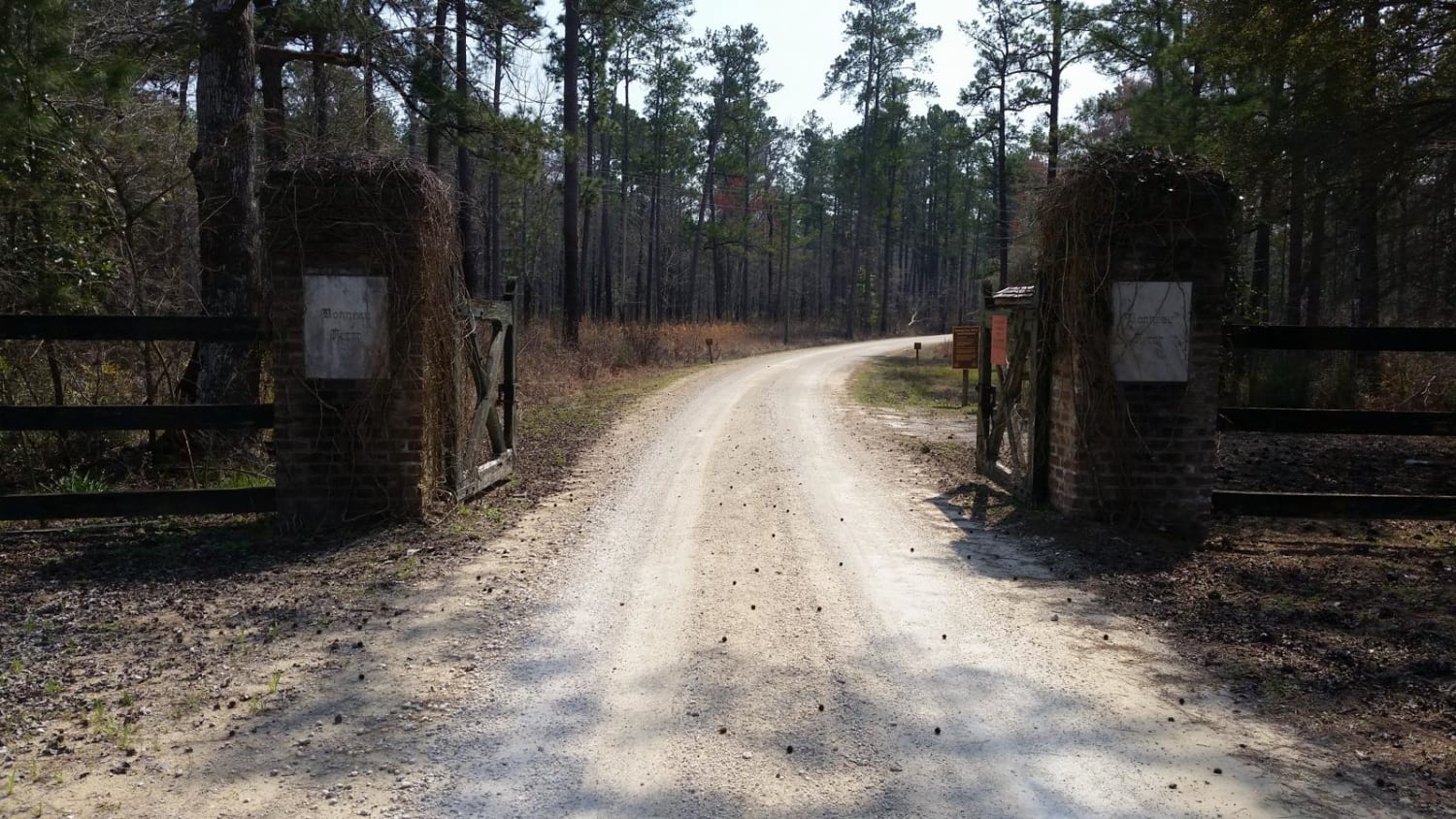
Swamp Fox 1

Swamp Fox 1

Most of this trail runs through the Francis Marion National Forest. Your vehicle must have a license plate. There are a few short pavement sections, otherwise it's mainly hard two-track fire roads with sections that…
Learn more about Swamp Fox 1
Total Miles
35.7
Tech Rating
2 Easy
Best Time
Spring, Summer, Fall, Winter
Learn more about Thompson Branch Road - FSR 154A
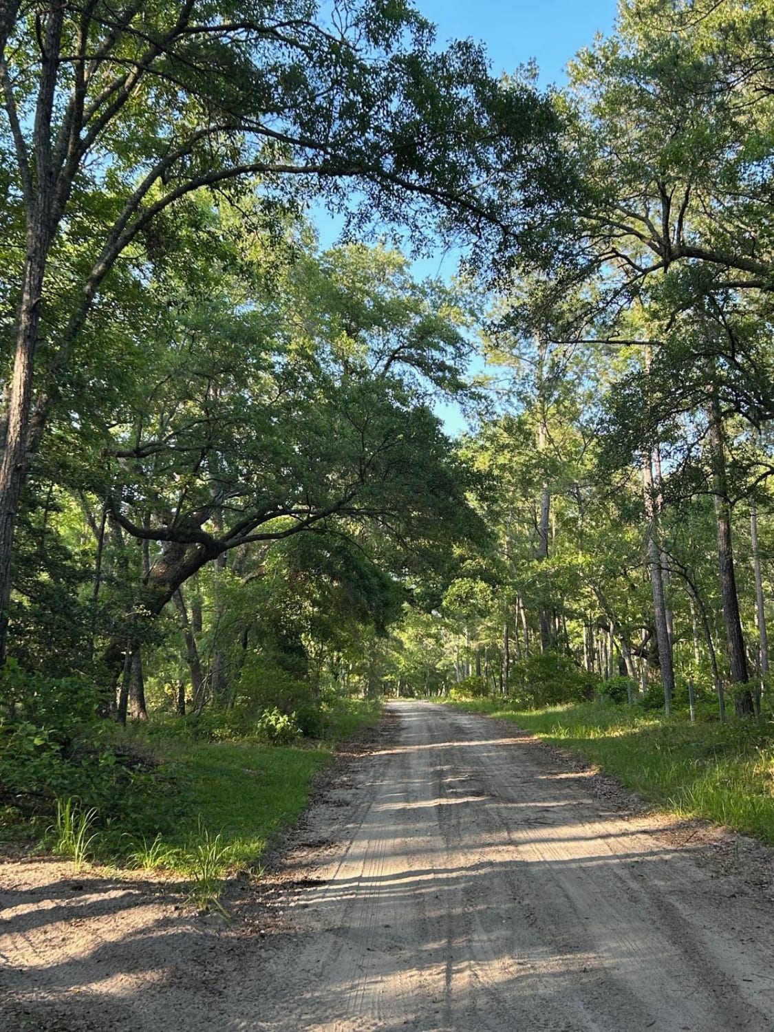
Thompson Branch Road - FSR 154A

Thompson Branch Road - FSR 154A

The Francis Marion National Forest is located north of Charleston, South Carolina. It is named for revolutionary war hero Francis Marion, who was known to the British as the Swamp Fox. It lies entirely within…
Learn more about Thompson Branch Road - FSR 154A
Total Miles
4.4
Tech Rating
1 Easy
Best Time
Spring, Summer, Fall, Winter
Learn more about Trail 1
Trail 1

Trail 1

Trail 1 is a 1.5-mile moderate trail that begins off of Trail 5. Trail 1 is a shaded dirt trail with mild ruts and little loose rocks until you get you exit the wooded part…
Learn more about Trail 1
Total Miles
1.3
Tech Rating
5 Moderate
Best Time
Spring, Fall
Learn more about Trail 10
Trail 10

Trail 10

Trail 10 is a two-way moderate trail that connects Trail 5 to Service Road 7. The trail is hard-packed dirt with slight elevation gains. The ruts on this trail are shallow. All ruts have a…
Learn more about Trail 10
Total Miles
0.4
Tech Rating
4 Moderate
Best Time
Spring, Fall
Learn more about Trail 11
Trail 11

Trail 11

This is one of the main trails to access two of the longest trails in the park. It is wide like a service road and is also known as the Powerline Trail (powerline towers go…
Learn more about Trail 11
Total Miles
0.9
Tech Rating
4 Moderate
Best Time
Summer, Winter, Fall, Spring
Learn more about Trail 14
Trail 14

Trail 14

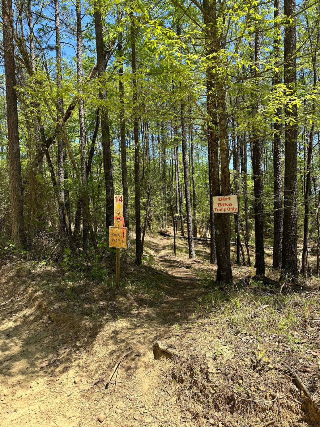
Trail 14 is a one-way dirt bike-only trail that begins on Service Road 7. This trail is rated as most difficult and provides many challenges. The trail is tight and provides narrow paths through trees,…
Learn more about Trail 14
Total Miles
1.2
Tech Rating
7 Difficult
Best Time
Spring, Fall
Learn more about Trail 15
Trail 15

Trail 15

Trail 15 is off Trail 17 and loops back to Trail 17 as well. It has steep hill climbs, rocks, and ruts, and will definitely need 4x4. It goes up the Trail 4 overlook and…
Learn more about Trail 15
Total Miles
0.2
Tech Rating
9 Difficult
Best Time
Fall, Summer
Learn more about Trail 17
Trail 17

Trail 17

Trail 17 is smooth and groomed and provides access to Trail 15. It's a shortcut to avoid Mammoth Hill and the backside of Trail 4. The last section spits you out onto Trail 4. It's…
Learn more about Trail 17
Total Miles
0.1
Tech Rating
3 Easy
Best Time
Summer, Spring, Fall, Winter
Learn more about Trail 18
Trail 18

Trail 18

Trail 18 begins on Service Road 14 at the top of Grizzly Hill. This trail is a dirt trail with some sections of loose rock. Just after coming down the first hill, there are some…
Learn more about Trail 18
Total Miles
0.9
Tech Rating
5 Moderate
Best Time
Spring, Fall
Learn more about Trail 2
Trail 2

Trail 2

Trail 2 is mainly dirt but there is bedrock in some areas. It's a short trail that is windy in some areas and rocky in one section. It starts right beside the creek crossing on…
Learn more about Trail 2
Total Miles
0.6
Tech Rating
4 Moderate
Best Time
Summer, Fall, Winter
Learn more about Trail 20
Trail 20

Trail 20

Trail 20 is a short two-way moderate trail that runs beside Service Road 14. This trail provides a more gradual hill to climb or descent as an alternative option for those who wish for an…
Learn more about Trail 20
Total Miles
0.3
Tech Rating
5 Moderate
Best Time
Spring, Fall
Learn more about Trail 22
Trail 22

Trail 22

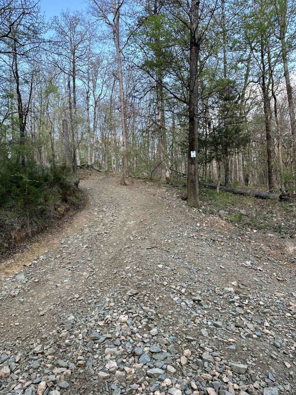
Trail 22 is a short 2-way moderate trail that connects Trail 5 and Service Road 1. Trail 22 is a mix of loose stone and packed dirt with very mild hills. There are a few…
Learn more about Trail 22
Total Miles
0.2
Tech Rating
4 Moderate
Best Time
Spring, Fall
Learn more about Trail 23
Trail 23

Trail 23

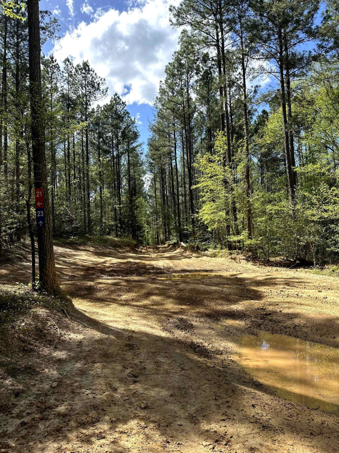
Trail 23 is a 2.5-mile moderate trail that begins at the end of Service Road 21. This trail is a shady trail of hard-packed dirt that is relatively flat, creating a relaxing ride. There are…
Learn more about Trail 23
Total Miles
1.9
Tech Rating
4 Moderate
Best Time
Spring, Fall
Learn more about Trail 25
Trail 25

Trail 25

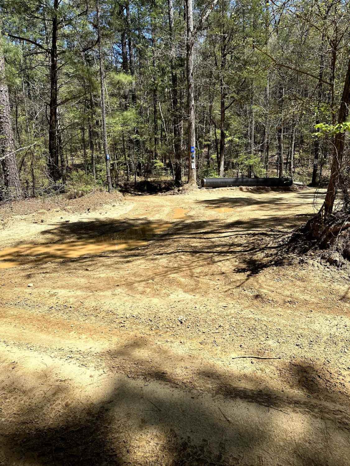
Trail 25 is a 3-mile one-way trail that begins on Trail 4. Trail 25 is a hard-packed trail that is on the milder end of the moderate trails at Carolina Adventure World. The trail provides…
Learn more about Trail 25
Total Miles
2.6
Tech Rating
4 Moderate
Best Time
Spring, Fall
Learn more about Trail 28
Trail 28

Trail 28

Trail 28 is a two-way moderate trail that runs alongside Trail 20. Trail 28 is very similar to Trail 20 and provides adventurists with an alternative route to navigate the hill section. Trail 28 has…
Learn more about Trail 28
Total Miles
0.2
Tech Rating
5 Moderate
Best Time
Fall, Spring
Learn more about Trail 29
Trail 29

Trail 29

Trail 29 is not marked. It goes uphill parallel to Trail 4 and has some rough dips and uphill climbs. It is a short trail, an alternative route from Mammoth Hill, and it takes you…
Learn more about Trail 29
Total Miles
0.2
Tech Rating
8 Difficult
Best Time
Summer, Fall
Learn more about Trail 34 Grizzly Hill
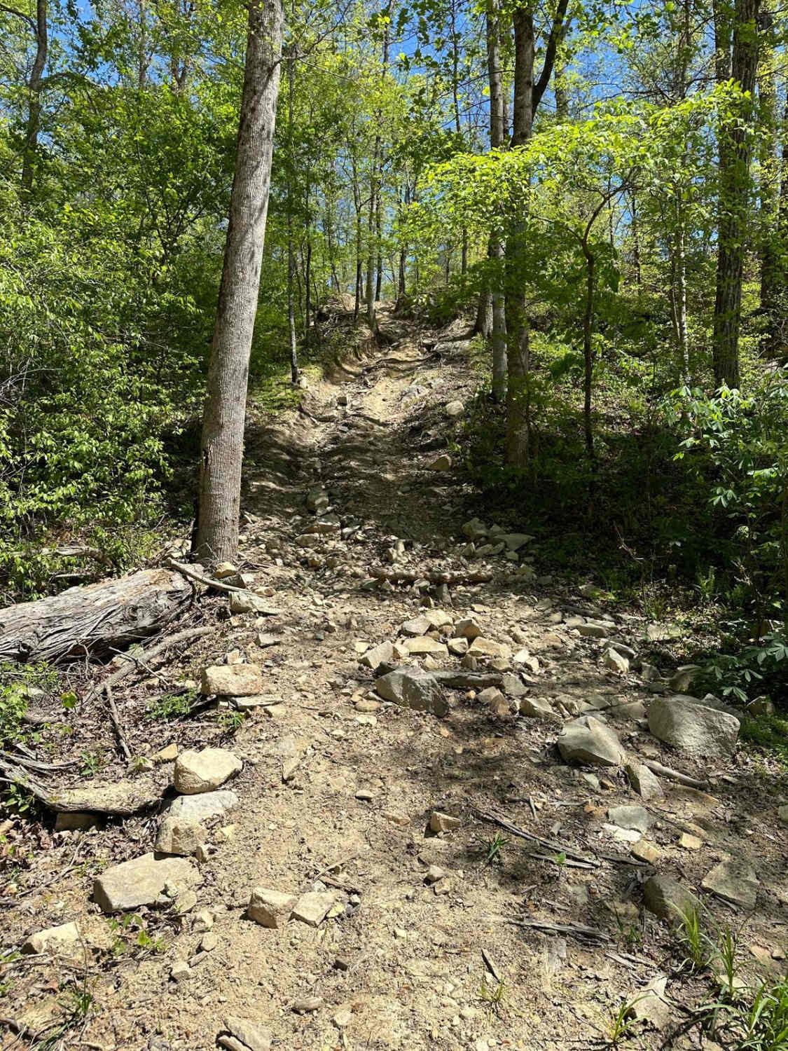
Trail 34 Grizzly Hill

Trail 34 Grizzly Hill

Trail 34, also known as Grizzly Hill, is the most difficult-rated trail beside Service Road 7 near Wateree Creek. This trail consists of various routes to climb the hill. Each route consists of steep, uneven,…
Learn more about Trail 34 Grizzly Hill
Total Miles
0.0
Tech Rating
9 Difficult
Best Time
Spring, Fall

The onX Offroad Difference

onX Offroad combines trail photos, descriptions, difficulty ratings, width restrictions, seasonality, and more in a user-friendly interface. Available on all devices, with offline access and full compatibility with CarPlay and Android Auto. Discover what you’re missing today!