Off-Road Trails in Washington

Discover off-road trails in Washington

Learn more about Mill Gultch 4W326
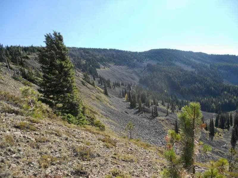
Mill Gultch 4W326

Mill Gultch 4W326

The trail system located to the west of US-97 is considered one of the most difficult trail systems in Washington state. This trail is renowned for its steep hill climbs, substantial boulder obstacles, and demanding…
Learn more about Mill Gultch 4W326
Total Miles
3.6
Tech Rating
7 Difficult
Best Time
Spring, Summer, Fall
Learn more about Mine Creek Rd
Mine Creek Rd

Mine Creek Rd

Take some time to get away from the city and escape to the hills with this quick, rocky run. Stop for a picnic at Mine Creek, or take a shooting break in one of the…
Learn more about Mine Creek Rd
Total Miles
3.1
Tech Rating
3 Easy
Best Time
Summer
Learn more about Miners Point - NF3300-133
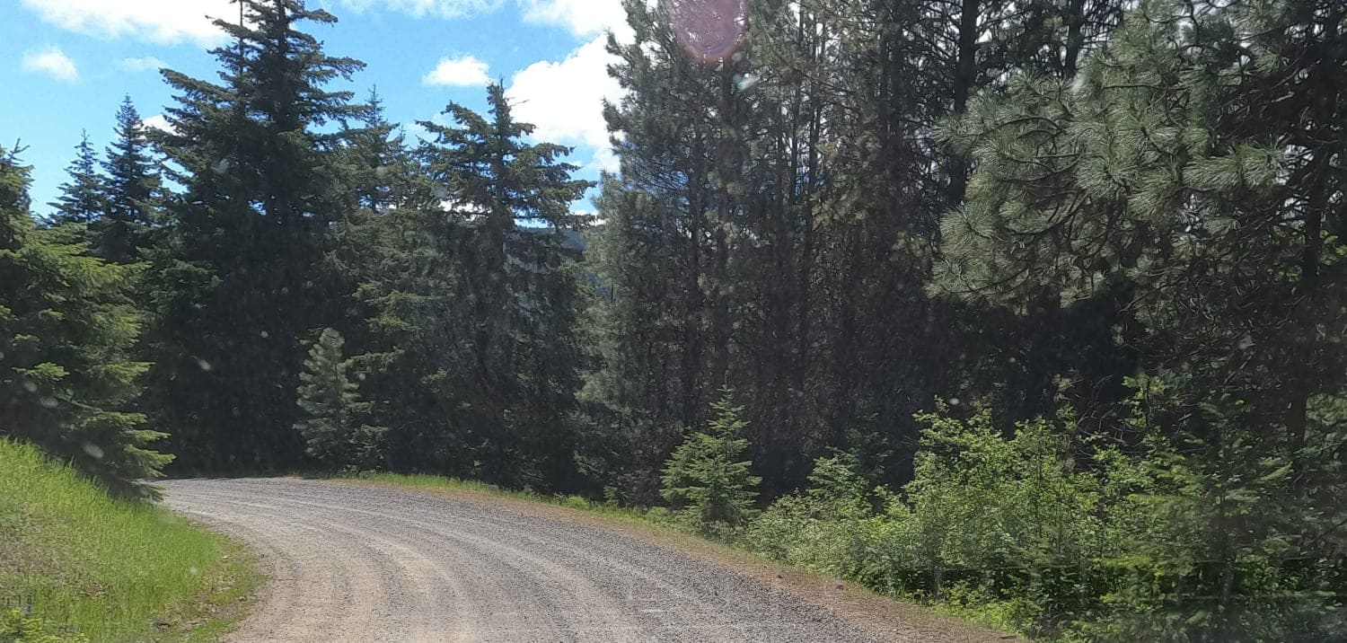
Miners Point -  NF3300-133

Miners Point - NF3300-133

Miners Point is a 2.5-mile maintained gravel Forest Service road above the North Fork of Taneum Creek, spurring off Taneum Road at the Taneum Junction. This is a segment of a larger north-south 60-mile overlanding…
Learn more about Miners Point - NF3300-133
Total Miles
2.5
Tech Rating
1 Easy
Best Time
Spring, Summer, Fall
Learn more about Minotaur Lake Trailhead
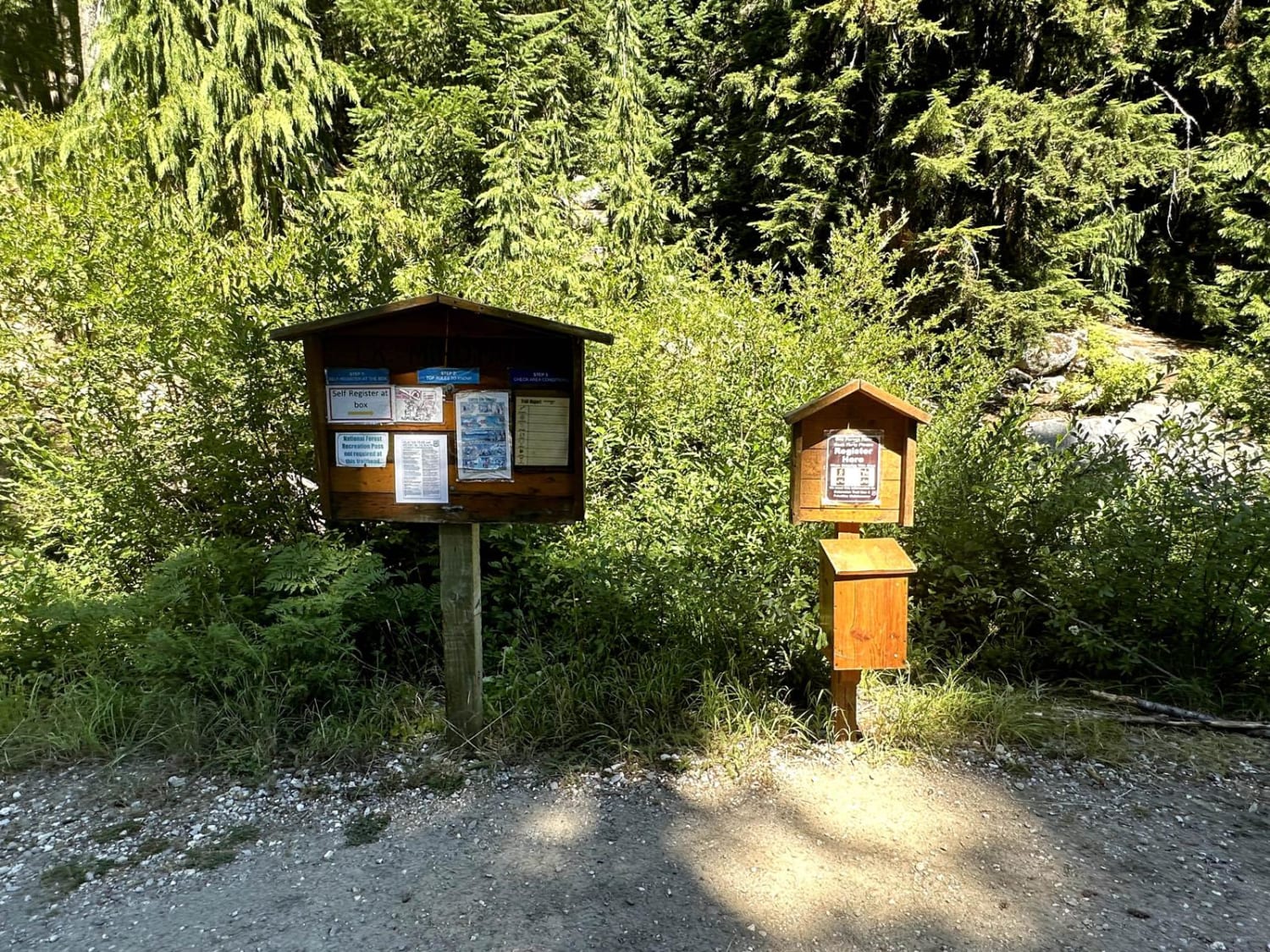
Minotaur Lake Trailhead

Minotaur Lake Trailhead

This 1.8-mile out-and-back trail takes you to the trailhead for Minotaur Lake. This hiking trail is a less traveled trail compared to others in the area. There are no restrooms or services at the trail…
Learn more about Minotaur Lake Trailhead
Total Miles
0.9
Tech Rating
1 Easy
Best Time
Spring, Summer, Fall
Learn more about Mountain Home Ranch Road
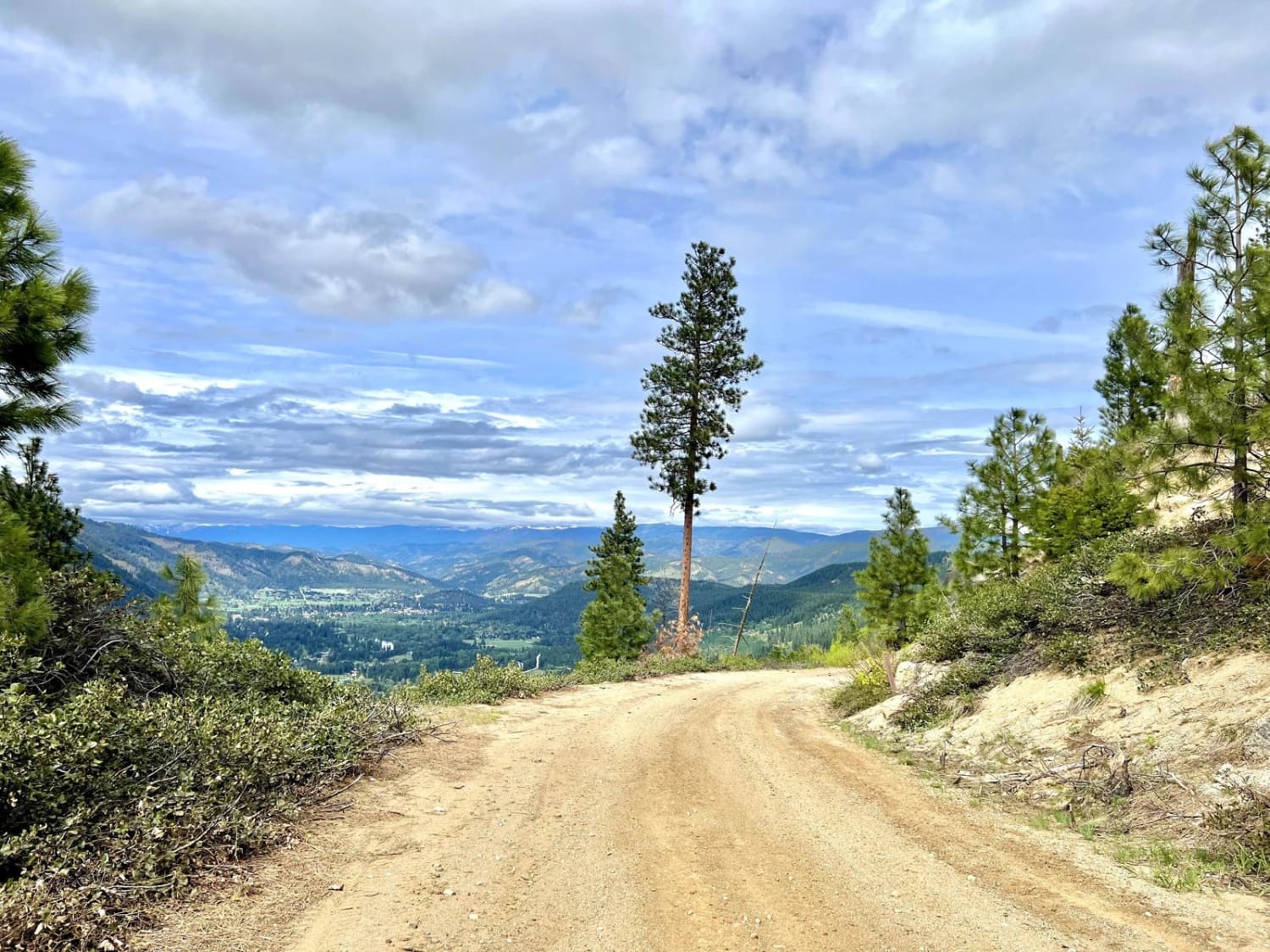
Mountain Home Ranch Road

Mountain Home Ranch Road

If you are traveling between Leavenworth and Wenatchee and want to get off the boring highway, take this scenic forest route. The trail starts out going through some residential areas, and as you go along,…
Learn more about Mountain Home Ranch Road
Total Miles
9.0
Tech Rating
1 Easy
Best Time
Spring, Summer, Fall
Learn more about Mountain Loop
Mountain Loop

Mountain Loop

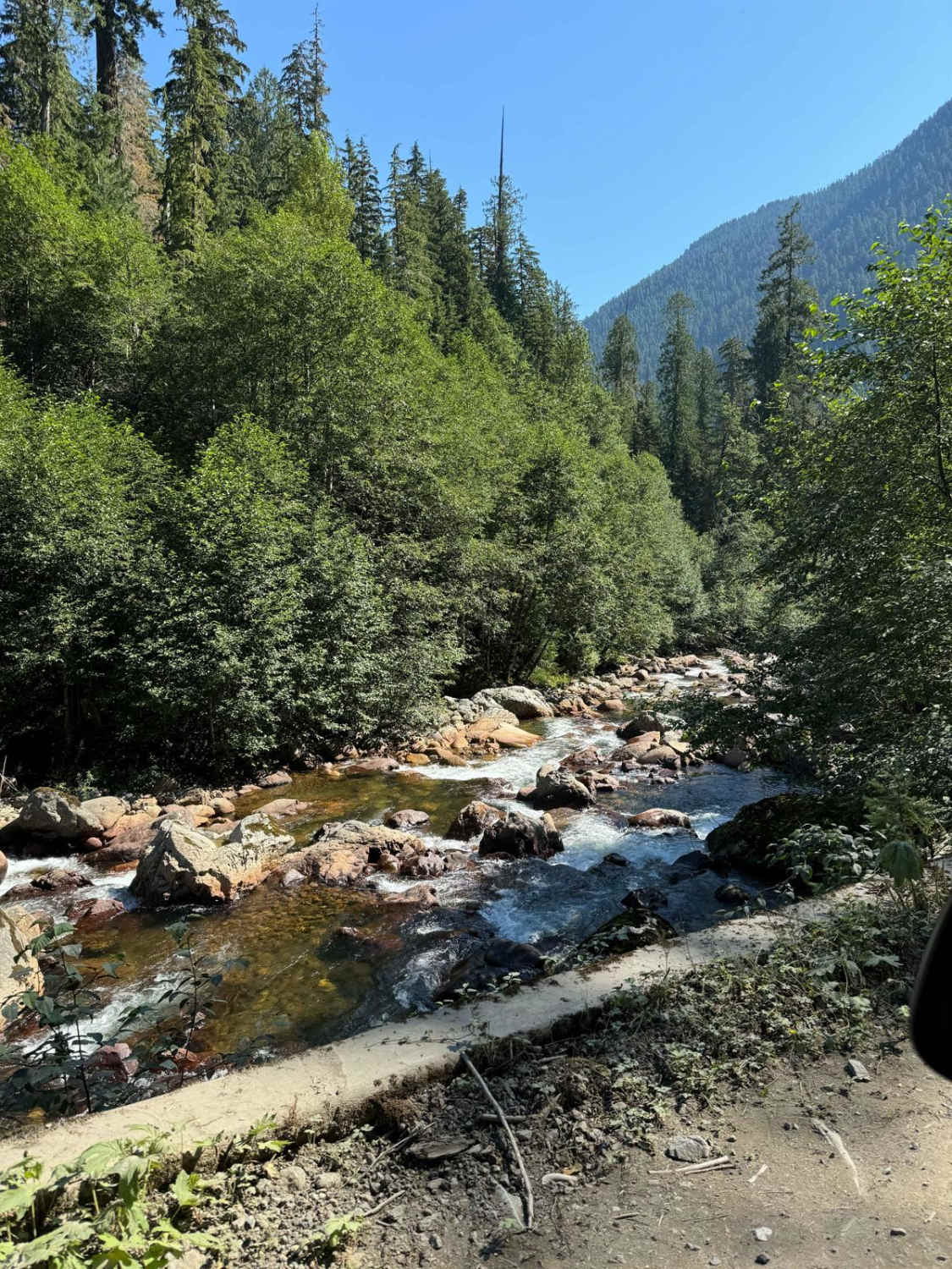
This is the famous Mountain Loop Hwy. It stretches from Granite Falls to Darrington back to Arlington. The actual trail spans a little over 13 miles and is filled with plentiful, stunning, dispersed camping spots…
Learn more about Mountain Loop
Total Miles
14.0
Tech Rating
1 Easy
Best Time
Fall, Summer
Learn more about MT Baker National Forest (1200000-1300000)
MT Baker National Forest (1200000-1300000)

MT Baker National Forest (1200000-1300000)

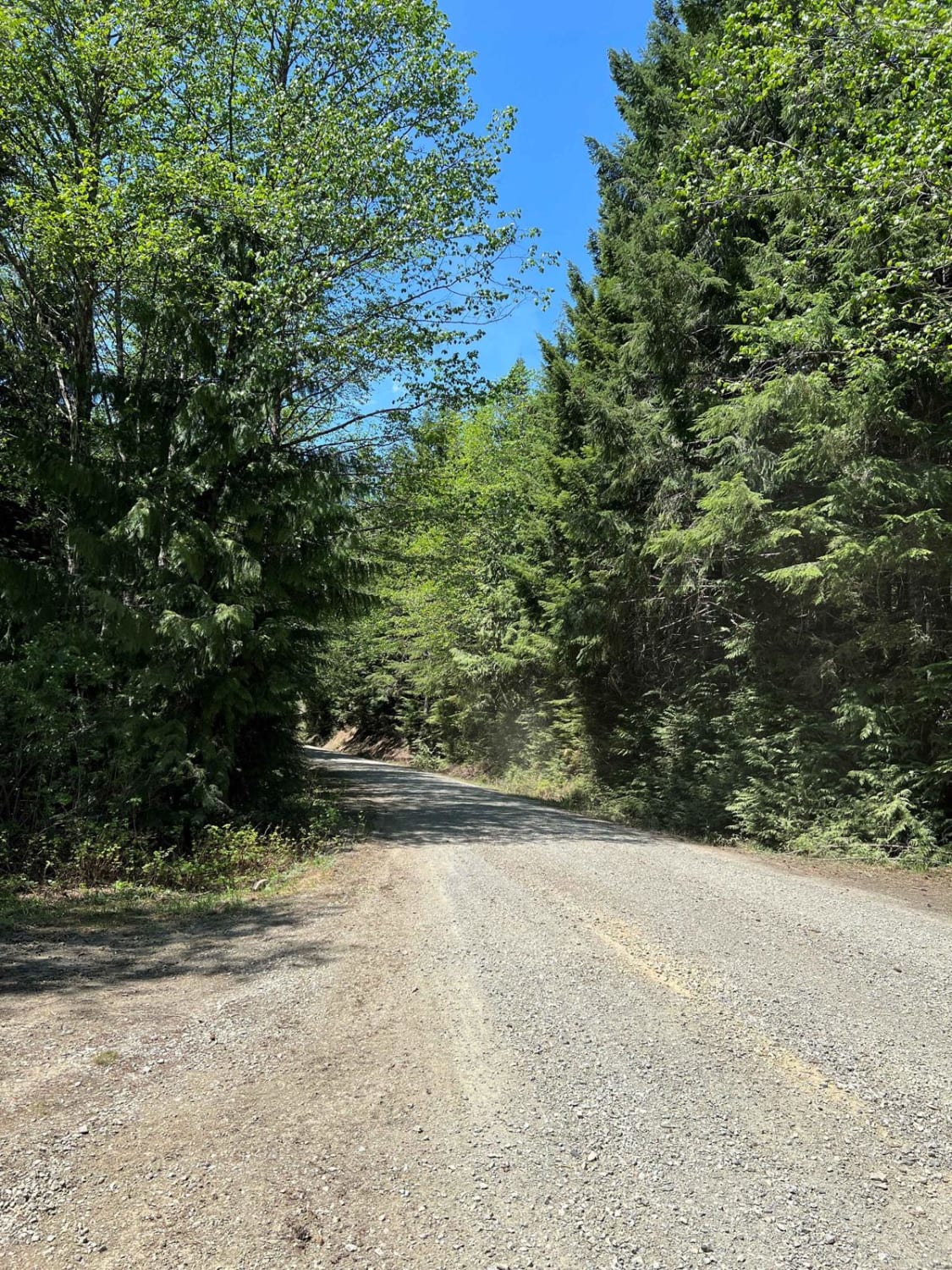
This trail is a peaceful drive through the forest with multiple places to hike and camp. In the winter this trail turns into a winter park where no off-road rigs are allowed, only snowmobiles. You…
Learn more about MT Baker National Forest (1200000-1300000)
Total Miles
7.6
Tech Rating
1 Easy
Best Time
Spring, Summer
Learn more about MT Baker Natl Forest
MT Baker Natl Forest

MT Baker Natl Forest

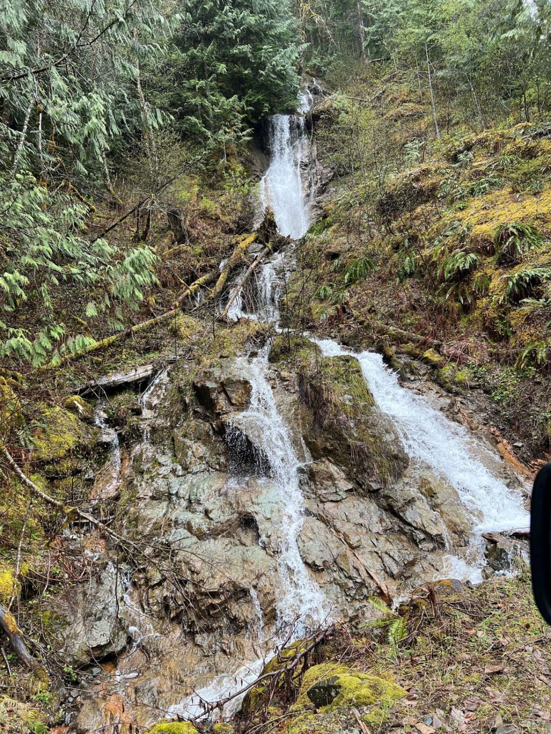
This is a beautiful forest trail on a rough but easy dirt road. At some points, the trail narrows to one lane and has some hidden turns. There are hiking trails to streams and waterfalls…
Learn more about MT Baker Natl Forest
Total Miles
3.0
Tech Rating
1 Easy
Best Time
Spring, Summer
Learn more about Mt. Misery Warming Cabin
Mt. Misery Warming Cabin

Mt. Misery Warming Cabin

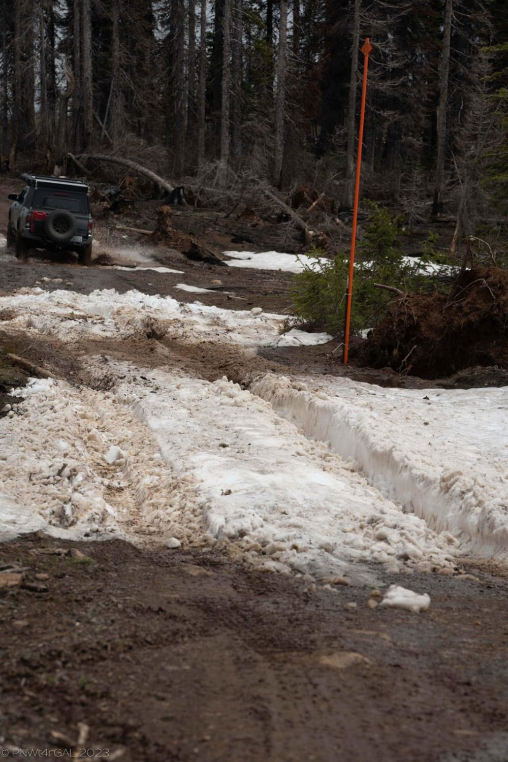
This was not noted on the map, but in the wintertime, this is a very small trail that leads to a vault toilet and a warming cabin stocked with firewood and minor medical supplies. The…
Learn more about Mt. Misery Warming Cabin
Total Miles
0.7
Tech Rating
2 Easy
Best Time
Spring, Summer, Fall, Winter
Learn more about Muddled Meanderings
Muddled Meanderings

Muddled Meanderings

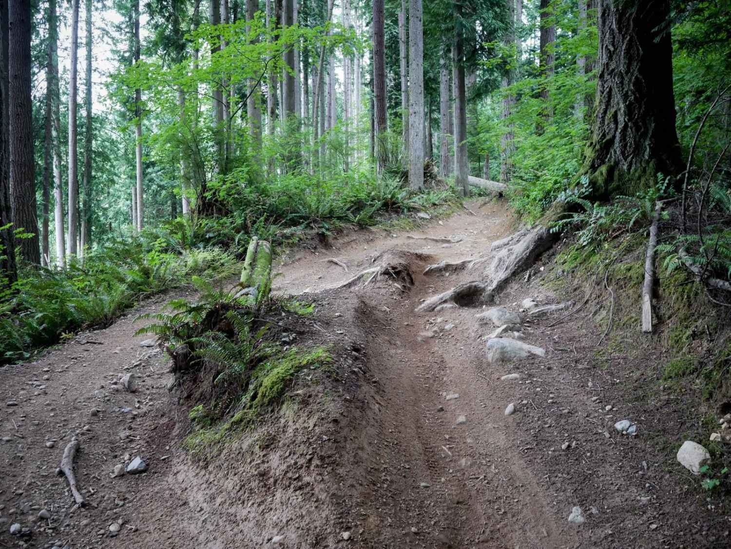
This is a 1.4 mile long very curvy ATV trail. The south end starts at a patch of blackberries before going across a wooden bridge. It's a wide trail that tightly winds through thick cedar…
Learn more about Muddled Meanderings
Total Miles
0.9
Tech Rating
3 Easy
Best Time
Spring, Summer, Fall, Winter
Learn more about Murphy Creek
Murphy Creek

Murphy Creek

Murphy Creek is a long, unmaintained trail off Mountain Loop Highway near Darrington. The trail becomes so overgrown after about 6 miles that it would only be suited for walking. The trail itself is almost…
Learn more about Murphy Creek
Total Miles
6.3
Tech Rating
1 Easy
Best Time
Summer, Fall
Learn more about Naches 4X4 Trail
Naches 4X4 Trail

Naches 4X4 Trail

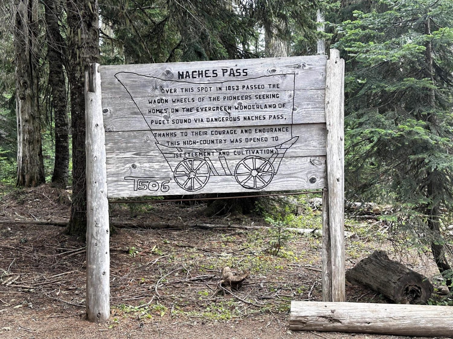
This 13.1-mile point-to-point off-road trail travels along the pioneer wagon trail through Naches Pass. This trail has lots of off-camber portions and tight passages through trees and stumps that could cause body damage to longer-wheelbase…
Learn more about Naches 4X4 Trail
Total Miles
12.7
Tech Rating
4 Moderate
Best Time
Summer, Fall
Learn more about Naneum Ridge State Forest Day Trip
Naneum Ridge State Forest Day Trip

Naneum Ridge State Forest Day Trip

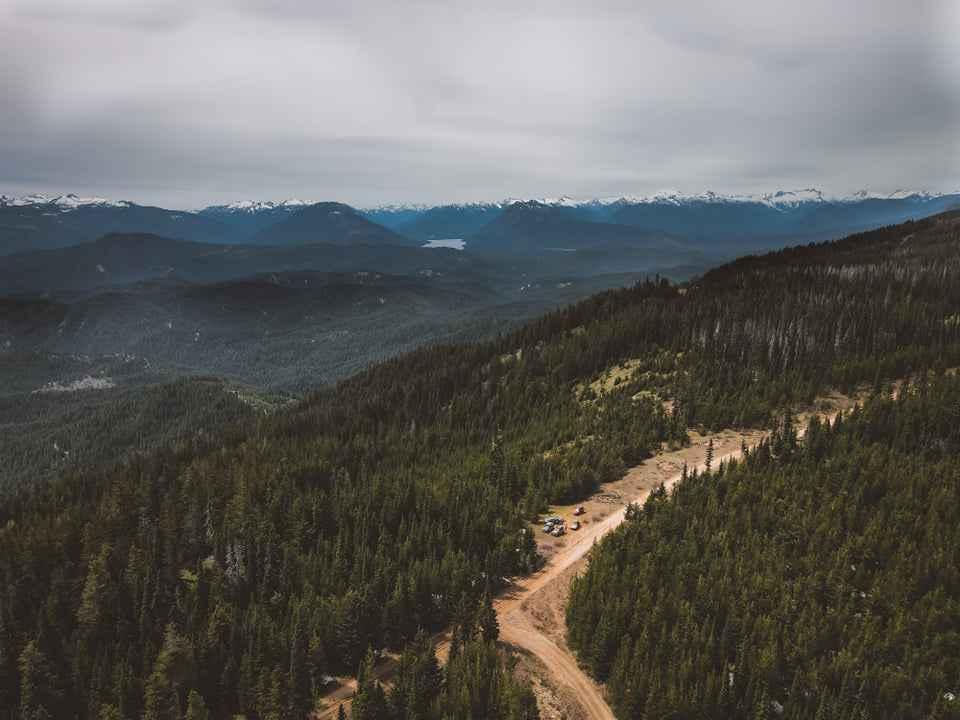
This length of the trail was primarily dirt and gravel, however, there were multiple sections of slushy snow remaining on the main trails. Directly on the main train was a snow block that was deemed…
Learn more about Naneum Ridge State Forest Day Trip
Total Miles
37.3
Tech Rating
3 Easy
Best Time
Spring, Summer
Learn more about Narnia
Narnia

Narnia

A gentle gravel trail leads off East Creek Overlook. This long winding path is gentle and there is always a place to avoid potholes. Drive through the green forest with lots of small animals. This…
Learn more about Narnia
Total Miles
4.1
Tech Rating
1 Easy
Best Time
Spring, Summer, Fall
Learn more about National Forest Development Road 310
National Forest Development Road 310

National Forest Development Road 310

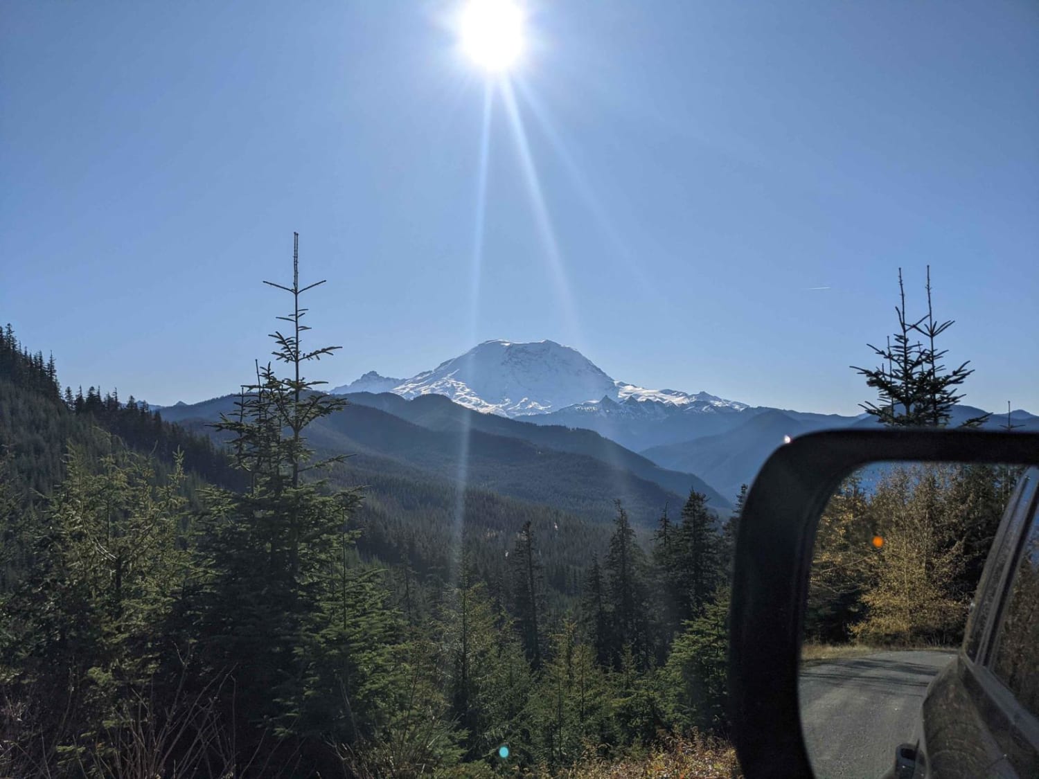
Short and easy out and back track that leads to an epic open area campsite that would fit 2-3 vehicles. Enjoy stellar views of Mt. Rainier with the benefit of good windbreak trees surrounding the…
Learn more about National Forest Development Road 310
Total Miles
0.5
Tech Rating
3 Easy
Best Time
Summer, Fall
Learn more about Nettleton/Forest Road 2441
Nettleton/Forest Road 2441

Nettleton/Forest Road 2441

This trail is pretty easy for the most part depending on which direction you go. If starting at Jorsted Creek Road, 2WD is all you need. The road has loose rock with washouts but easily…
Learn more about Nettleton/Forest Road 2441
Total Miles
7.5
Tech Rating
2 Easy
Best Time
Spring, Summer, Fall
Learn more about Newberry Creek Road
Newberry Creek Road

Newberry Creek Road

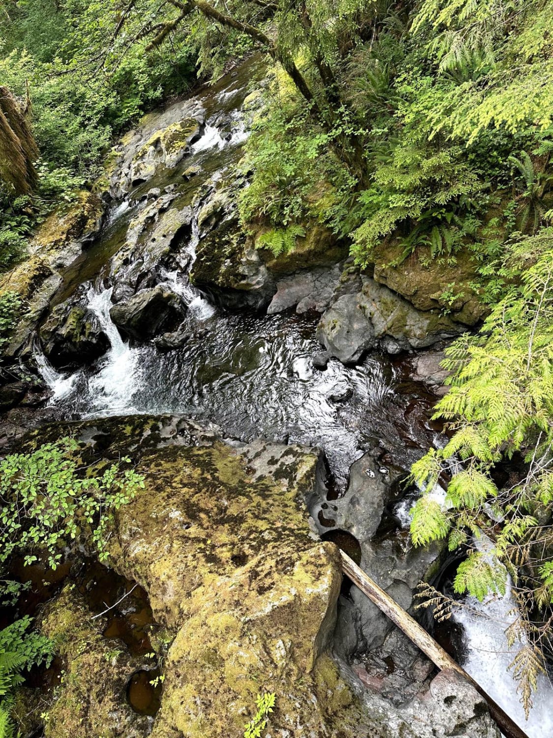
This 8.2-mile point-to-point trail gives access from Highway 101 to the West Fork Humptulips River Valley. The trail crosses over Newberry Creek and then follows along the West Fork Humptulips River. This is an enjoyable…
Learn more about Newberry Creek Road
Total Miles
8.1
Tech Rating
2 Easy
Best Time
Spring, Summer, Fall
Learn more about Newby Creek (4350100)
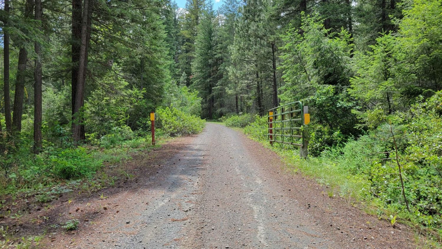
Newby Creek (4350100)

Newby Creek (4350100)

Sometimes trails lead to spectacular destinations and other times they have the promise of leading to something and end up going nowhere. Newby Creek trail is one of those routes that unfortunately doesn't lead to…
Learn more about Newby Creek (4350100)
Total Miles
2.9
Tech Rating
2 Easy
Best Time
Fall, Summer
Learn more about Newlands Road
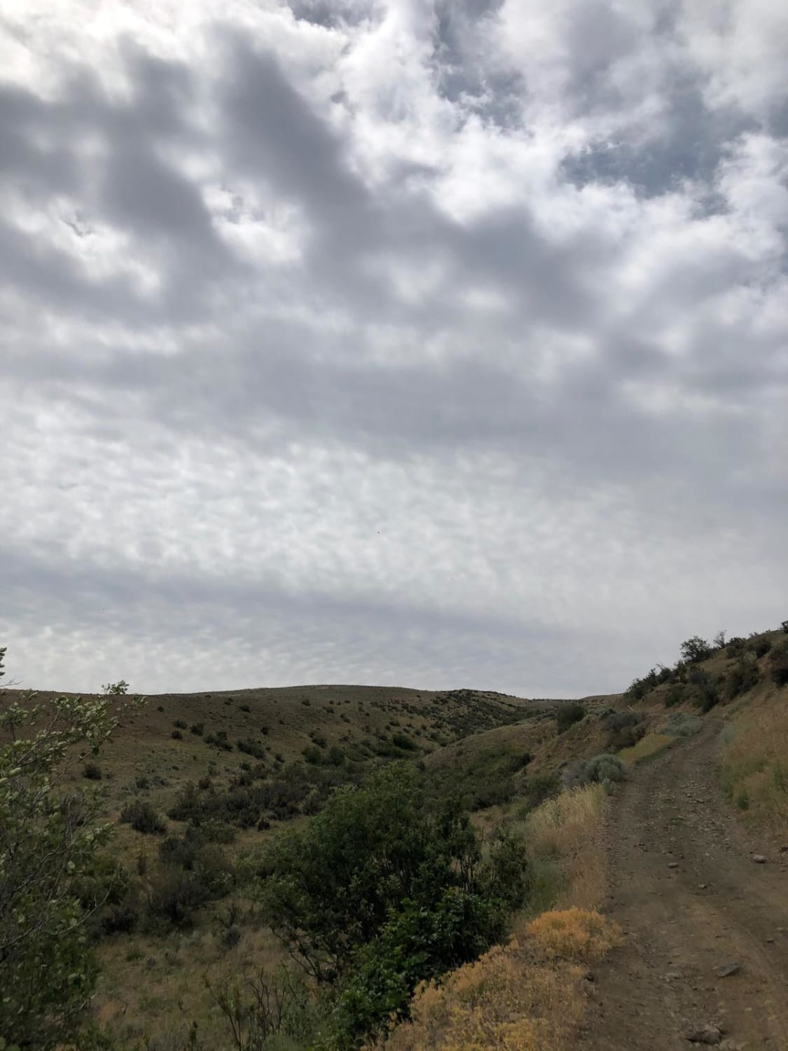
Newlands Road

Newlands Road

Newlands Road is a dusty roads with loose rocks. There are some uphill spots where loose rocks could be a problem, however for the most part it is just a dirt road. There are a…
Learn more about Newlands Road
Total Miles
5.1
Tech Rating
2 Easy
Best Time
Spring, Summer, Fall
Learn more about NF - 2464
NF - 2464

NF - 2464

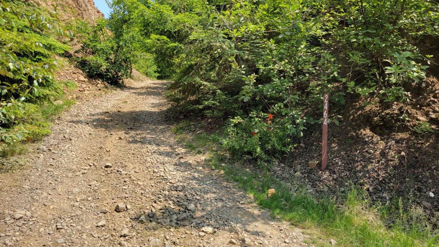
Beginning trail from the West: what begins as a wide and easy shelf two-track trail slowly becomes more and more narrow with overgrowth. Full-size vehicles are highly discouraged and will certainly receive paint damage. Some…
Learn more about NF - 2464
Total Miles
6.6
Tech Rating
3 Easy
Best Time
Fall, Summer

The onX Offroad Difference

onX Offroad combines trail photos, descriptions, difficulty ratings, width restrictions, seasonality, and more in a user-friendly interface. Available on all devices, with offline access and full compatibility with CarPlay and Android Auto. Discover what you’re missing today!