Off-Road Trails in Washington

Discover off-road trails in Washington

Learn more about Jubilee
Jubilee

Jubilee

This is an 8.2-mile beginning chunk of the Jubilee Trail. The very beginning starts off pretty easy with a wide, primarily dirt road, however, turns to a more challenging narrow rutted section before starting to…
Learn more about Jubilee
Total Miles
4.2
Tech Rating
3 Easy
Best Time
Spring, Summer, Fall
Learn more about Jubilee to Tiger Creek
Jubilee to Tiger Creek

Jubilee to Tiger Creek

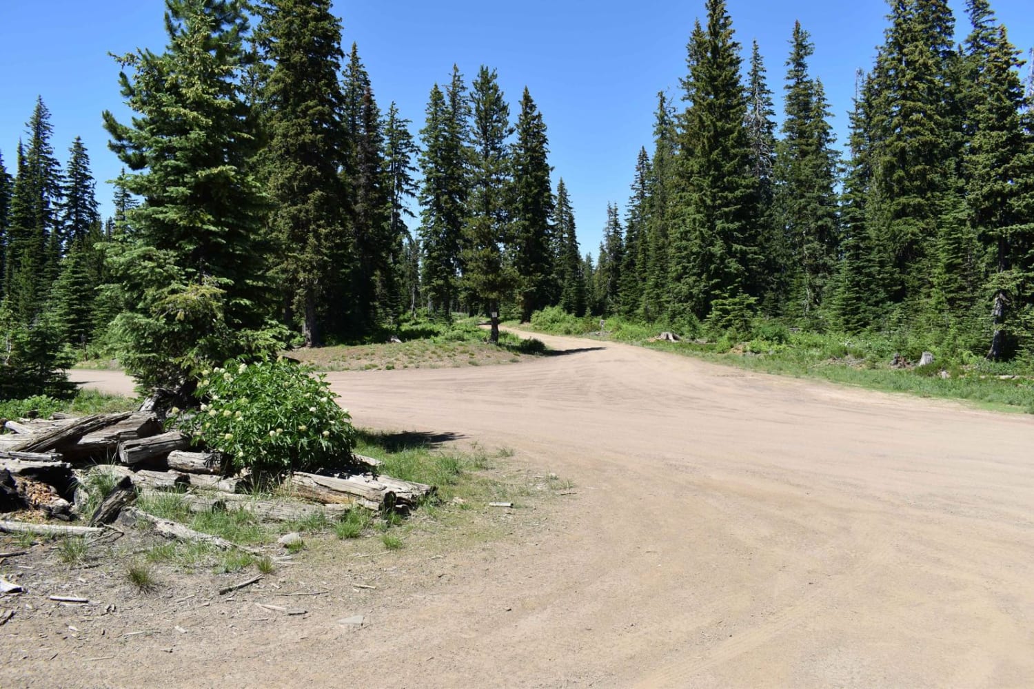
This trail covers a large portion of the northern section of Jubilee. This trail is covered in snow during the winter and most of spring as well. This trail was rutted in some areas, and…
Learn more about Jubilee to Tiger Creek
Total Miles
12.5
Tech Rating
4 Moderate
Best Time
Summer, Fall
Learn more about Judd Peak
Judd Peak

Judd Peak

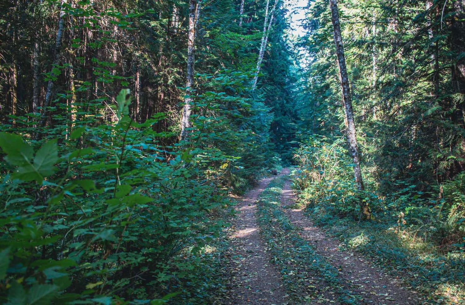
Judd Peak is a gravel and natural surface mixed road that runs through the Gifford Pinchot National Forest. The road has sections that are very overgrown, so if you do not want to get pinstripes…
Learn more about Judd Peak
Total Miles
3.5
Tech Rating
2 Easy
Best Time
Spring, Summer, Fall
Learn more about Judys Grade
Judys Grade

Judys Grade

Judy's Grade is an easier ATV Trail in the Walker Valley ORV Area (designated for vehicles 48" or less). It's less than a mile long and is consistently wide. The west end starts off of…
Learn more about Judys Grade
Total Miles
0.7
Tech Rating
3 Easy
Best Time
Spring, Summer, Fall, Winter
Learn more about Jump Off - NF1302
Jump Off - NF1302

Jump Off - NF1302

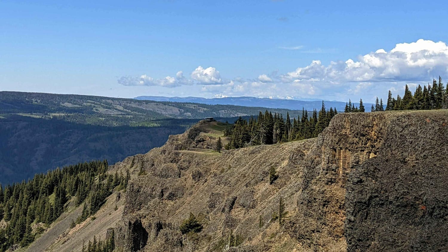
Jump Off road is a 12-mile Forest Service road that crosses the Tieton River at Windy Point and climbs quickly up onto and follows along Divide Ridge to reach Jump Off Lookout. The first 3-4…
Learn more about Jump Off - NF1302
Total Miles
12.7
Tech Rating
2 Easy
Best Time
Spring, Summer, Fall
Learn more about Kachess Overlook
Kachess Overlook

Kachess Overlook

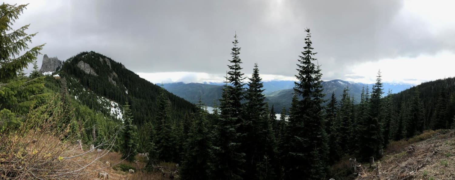
This is an easy road that winds its way up the mountain past a waterfall and streams to find an incredible view of Lake Kachess and French Cabin Creek Basin. The road is covered in…
Learn more about Kachess Overlook
Total Miles
4.7
Tech Rating
2 Easy
Best Time
Summer, Fall
Learn more about Keechelus - FS 4948
Keechelus - FS 4948

Keechelus - FS 4948

This is a long rolling fully gravel Forest Service Road with great viewpoints. Pull out and side quest to springs and dispersed camping along the route. The trail is clear of down trees and has…
Learn more about Keechelus - FS 4948
Total Miles
7.2
Tech Rating
1 Easy
Best Time
Spring, Summer, Fall
Learn more about Kelly Hill Loop
Kelly Hill Loop

Kelly Hill Loop

This road route features both paved and gravel roads with many connector roads for vehicles with off-road tags, both county and Forest Service roads. Starting in Orient, WA, off Highway 395 near the Canadian border,…
Learn more about Kelly Hill Loop
Total Miles
48.7
Tech Rating
1 Easy
Best Time
Summer
Learn more about Kendall Monument Trail
Kendall Monument Trail

Kendall Monument Trail

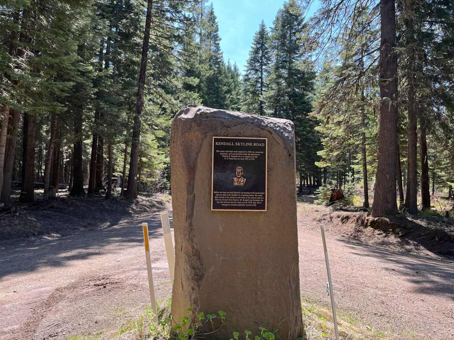
This route travels from the Kendall Monument to NF-64. It runs in either direction but is closed in the winter. It's not a difficult or technical trail, but it is slow-going due to potholes and…
Learn more about Kendall Monument Trail
Total Miles
21.5
Tech Rating
2 Easy
Best Time
Spring, Summer, Fall
Learn more about Kilborn Creek
Kilborn Creek

Kilborn Creek

This is a standard Pacific Northwest forest service road, it is hard-packed dirt with just a few small ruts less than 6 inches deep. Once you reach Cunningham Creek at 4.3 miles the trail gets…
Learn more about Kilborn Creek
Total Miles
5.2
Tech Rating
2 Easy
Best Time
Spring, Summer, Fall
Learn more about Kim and Monicas
Kim and Monicas

Kim and Monicas

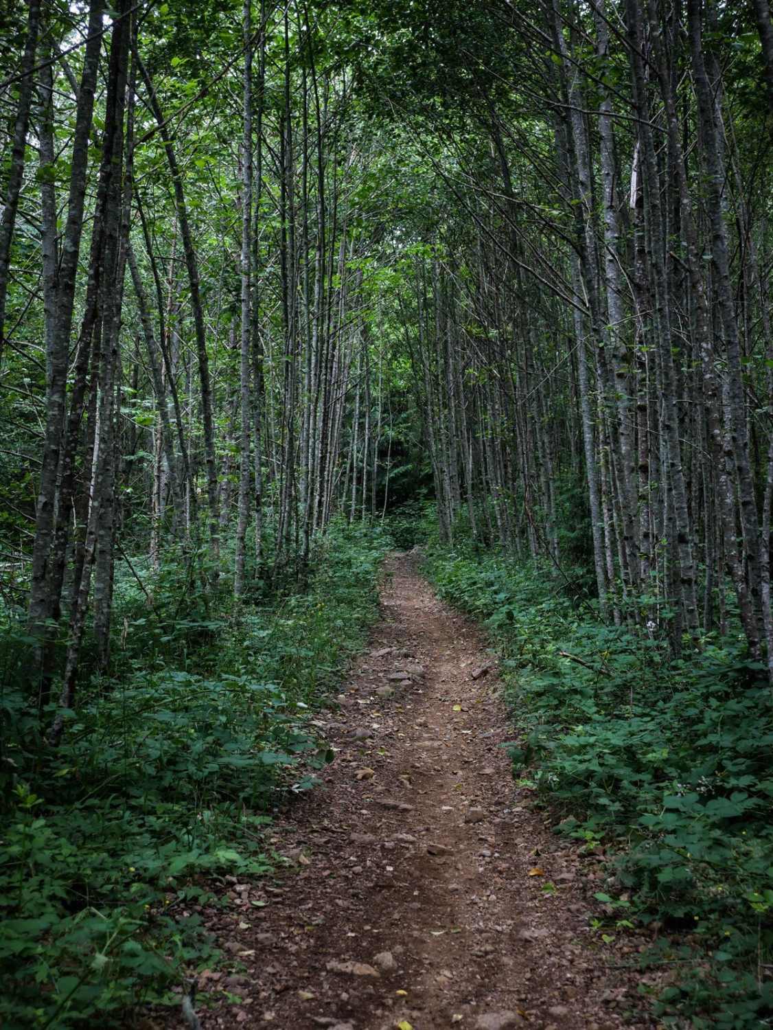
Kim & Monica's is a 1.6-mile-long ATV trail designated for 48" or less vehicles. It goes through a forest full of tall skinny red alder trees, sword ferns, red cedars, and Douglas firs. It's decently…
Learn more about Kim and Monicas
Total Miles
1.5
Tech Rating
3 Easy
Best Time
Spring, Summer, Fall, Winter
Learn more about Kloshe Nanitch Observation Lookout - 3040
Kloshe Nanitch Observation Lookout - 3040

Kloshe Nanitch Observation Lookout - 3040

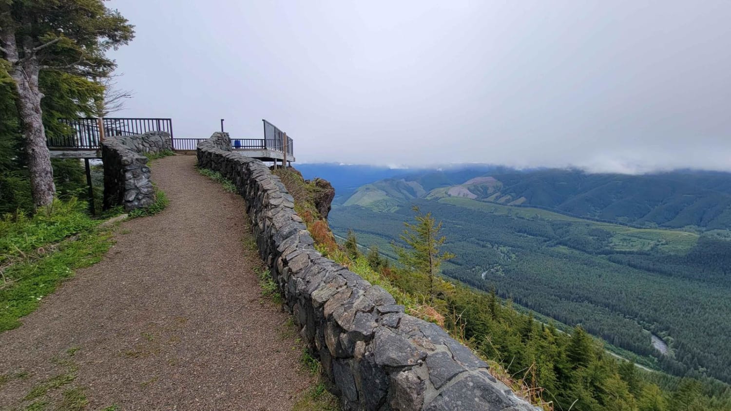
If you're looking for a fun forest trail that leads to an amazing lookout, look no further! The route begins at the Snider Forest Service Station and heads up into the hills from there. You'll…
Learn more about Kloshe Nanitch Observation Lookout - 3040
Total Miles
1.5
Tech Rating
2 Easy
Best Time
Fall, Summer
Learn more about Knox Creek - 4308
Knox Creek - 4308

Knox Creek - 4308

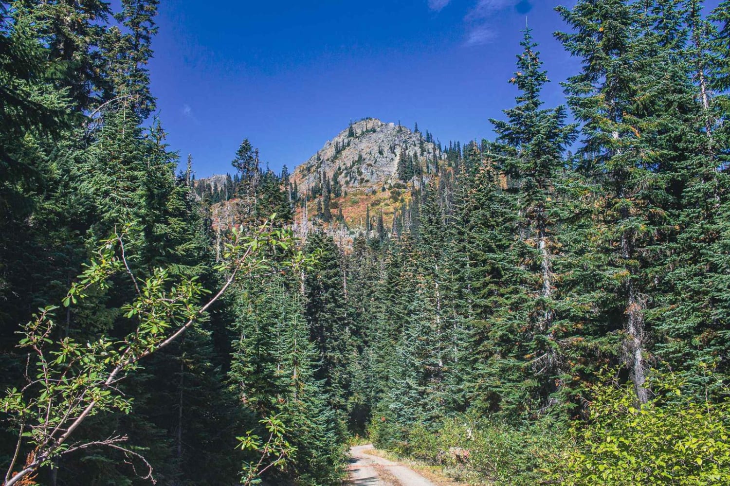
Knox Creek Road Number 4308 runs through the Wenatchee National Forest, it is a natural surface road, that is tight, overgrown, and one lane with no turnouts. The road becomes steep at the end, one…
Learn more about Knox Creek - 4308
Total Miles
3.1
Tech Rating
2 Easy
Best Time
Spring, Summer, Fall
Learn more about Kugel Creek
Kugel Creek

Kugel Creek

This out-and-back route is a classic forest trail. A beautiful, lush forest surrounds you as you make your way up the mountainside. Water/mud holes are present, especially early season or after rain. There is one…
Learn more about Kugel Creek
Total Miles
3.2
Tech Rating
3 Easy
Best Time
Summer, Fall
Learn more about L-1000
L-1000

L-1000

This is a point-to-point trail that will connect you between 2 other trails in the area. It will also lead you to the Yacoult Burn Trailhead where you can access the area's hiking trail. There…
Learn more about L-1000
Total Miles
7.5
Tech Rating
1 Easy
Best Time
Spring, Summer, Fall, Winter
Learn more about L-1100
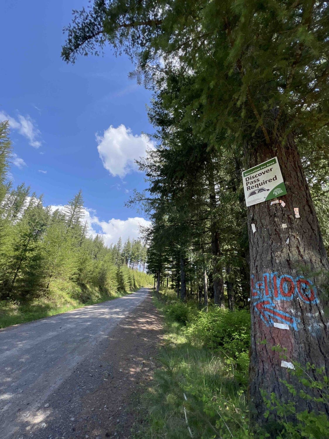
L-1100

L-1100

L-1100 is located in the Yacolt Burn State Forest which is nestled at the base of the Cascade Mountain Range in Southwest Washington. These roads are well maintained and are gravel with very few potholes.…
Learn more about L-1100
Total Miles
10.3
Tech Rating
1 Easy
Best Time
Spring, Summer, Fall, Winter
Learn more about L-1200
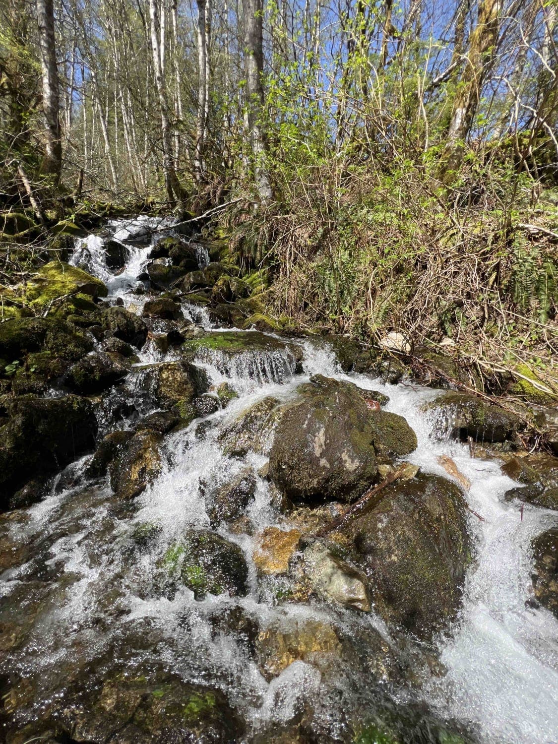
L-1200

L-1200

L-1200 is located in the Yacolt Burn State Forest. It's an easy gravel road that is well maintained by the state. Once on the trail, you will first cross the West Fork Washougal River where…
Learn more about L-1200
Total Miles
10.6
Tech Rating
1 Easy
Best Time
Spring, Summer, Fall, Winter
Learn more about Labyrinth Mountain to Fall Creek
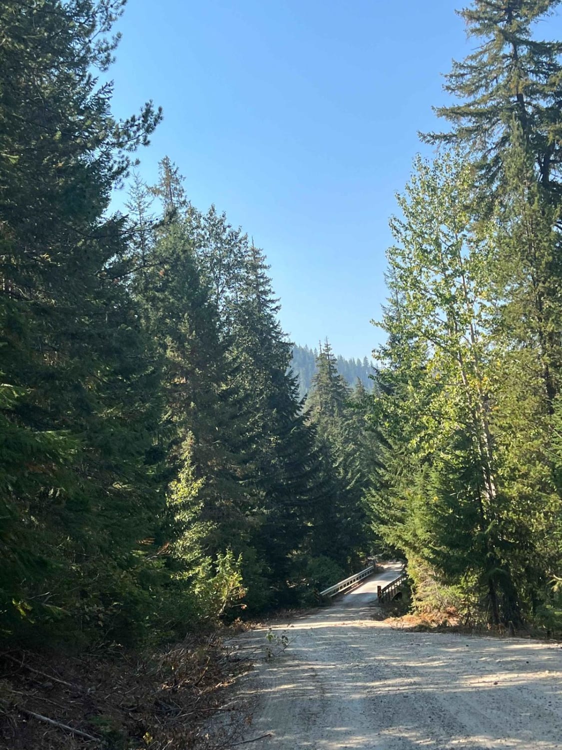
Labyrinth Mountain to Fall Creek

Labyrinth Mountain to Fall Creek

This is an easily traversed route between Top Lake Trailhead and Rainy Creek Campground/FR-65. The terrain is dirt road, passing a number of dispersed camping options and access roads to numerous trailheads in the area.…
Learn more about Labyrinth Mountain to Fall Creek
Total Miles
8.4
Tech Rating
2 Easy
Best Time
Spring, Summer, Fall
Learn more about Lake Cavanaugh Road
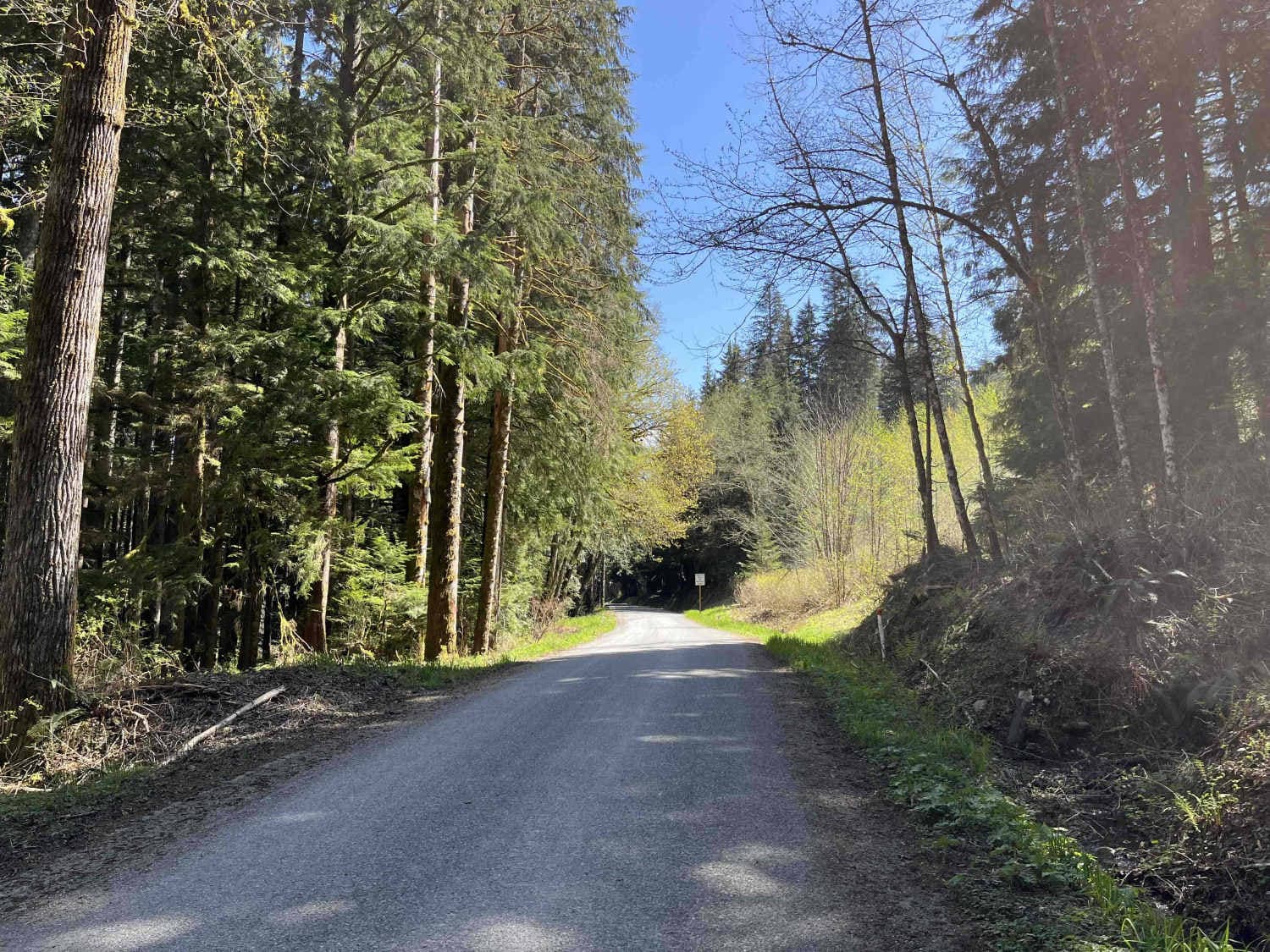
Lake Cavanaugh Road

Lake Cavanaugh Road

Lake Cavanaugh Road is a point-to-point wide gravel road that connects Lake Cavanaugh and SR530. This trail is well-maintained and open to all vehicle traffic, however, some larger vehicles will find some of the switchbacks…
Learn more about Lake Cavanaugh Road
Total Miles
3.7
Tech Rating
1 Easy
Best Time
Spring, Summer, Fall, Winter
Learn more about Lake Overlook Camp Out Road
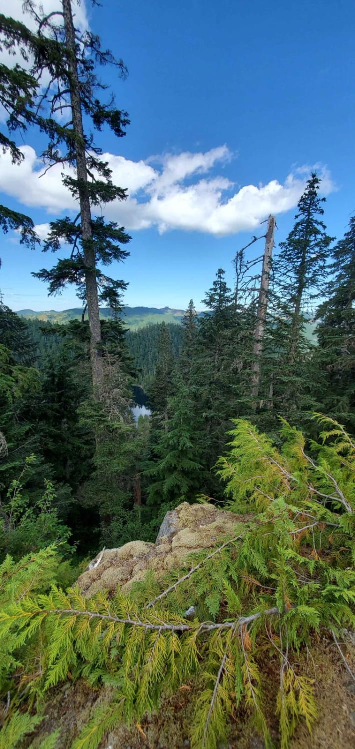
Lake Overlook Camp Out Road

Lake Overlook Camp Out Road

This magnificent land bridge places this one-car wide lane delicately at the top of a very steep tall cliffside. The road is mostly clear of landslide debris but large rocks are not far off the…
Learn more about Lake Overlook Camp Out Road
Total Miles
1.2
Tech Rating
2 Easy
Best Time
Spring, Summer, Fall

The onX Offroad Difference

onX Offroad combines trail photos, descriptions, difficulty ratings, width restrictions, seasonality, and more in a user-friendly interface. Available on all devices, with offline access and full compatibility with CarPlay and Android Auto. Discover what you’re missing today!