Off-Road Trails in West Virginia

Discover off-road trails in West Virginia

Learn more about River Road
River Road

River Road

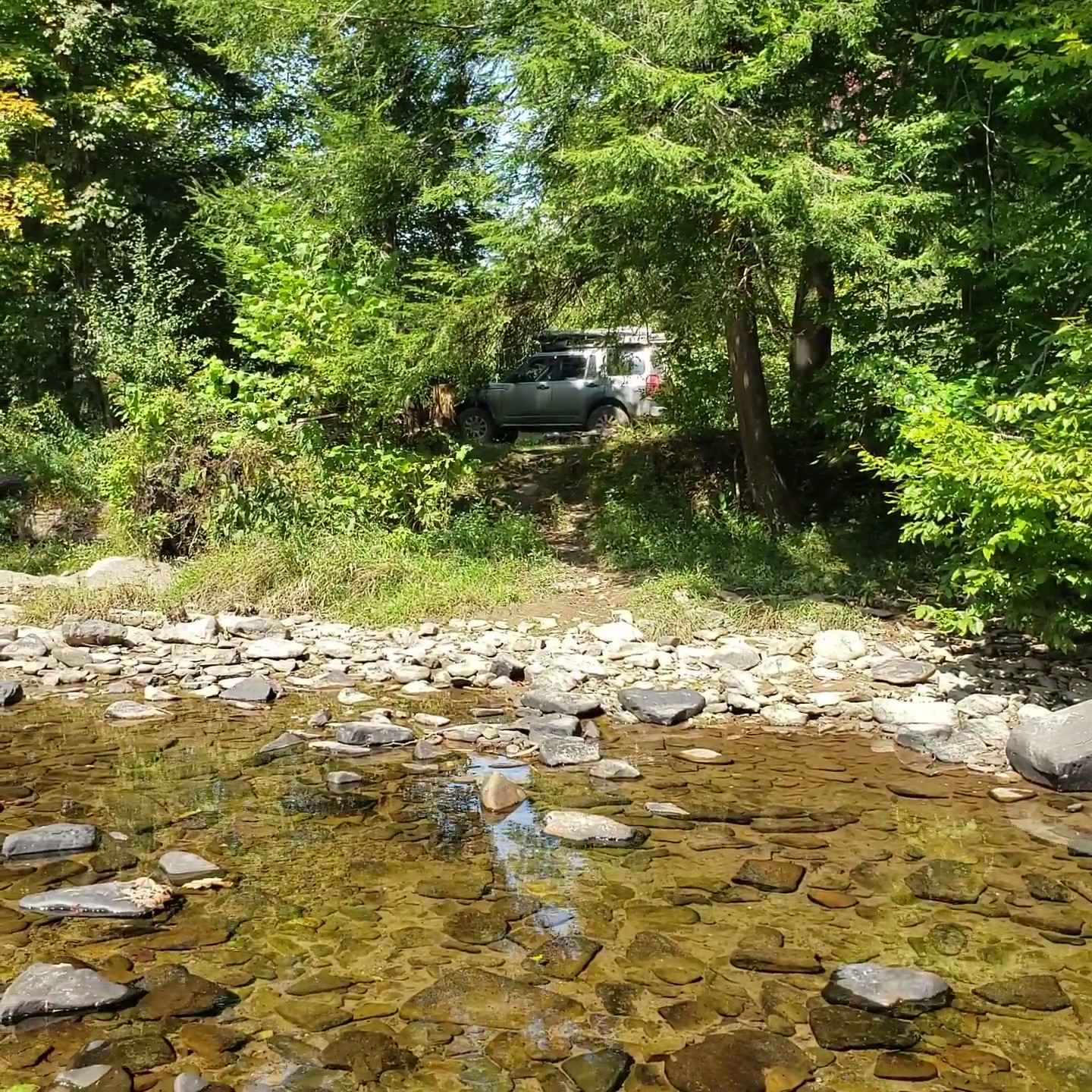
A county dirt track running primarily along the Shavers Fork River in Randolph and Tucker counties. The majority of the track lies in Monongahela NF. Careful attention should be paid to private property boundaries along…
Learn more about River Road
Total Miles
26.2
Tech Rating
1 Easy
Best Time
Spring, Summer, Fall, Winter
Learn more about Sawblade
Sawblade

Sawblade

This is a very rough and rocky trail with extremely tight maneuvering and off-camber moments. Please use extreme caution when riding this trail. It is a moderately tough trail; have a winch and recovery gear…
Learn more about Sawblade
Total Miles
0.7
Tech Rating
8 Difficult
Best Time
Fall
Learn more about Sludge Ponds to Witcher
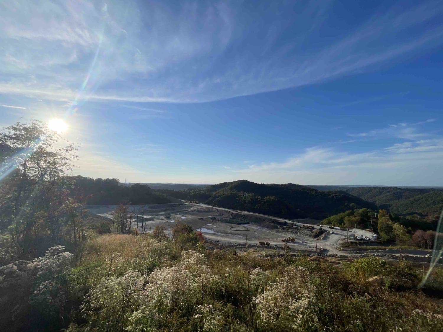
Sludge Ponds to Witcher

Sludge Ponds to Witcher

Mild dirt terrain, gravel mix with some mud, but the holes are small. It may become slick if wet, partial clay. You will find county road access, with most of the route being public county…
Learn more about Sludge Ponds to Witcher
Total Miles
15.6
Tech Rating
2 Easy
Best Time
Summer
Learn more about Snake Island to Cavendish
Snake Island to Cavendish

Snake Island to Cavendish

The trail is easy and can be made by any stock 4x4 vehicle with adequate ground clearance. What makes this trail significant and worthy of a ride is it runs along the Meadow River which…
Learn more about Snake Island to Cavendish
Total Miles
7.1
Tech Rating
2 Easy
Best Time
Spring, Summer, Fall
Learn more about Spruce Mountain Trail
Spruce Mountain Trail

Spruce Mountain Trail

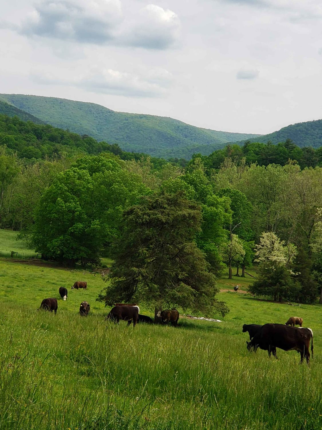
A dirt road with many beautiful views of the mountains, grassy fields, and wildlife while you climb the mountain on such a beautiful road. This road leads you to the Spruce Knob. On the way…
Learn more about Spruce Mountain Trail
Total Miles
9.7
Tech Rating
1 Easy
Best Time
Spring, Summer, Fall, Winter
Learn more about Squirrel Gap Road
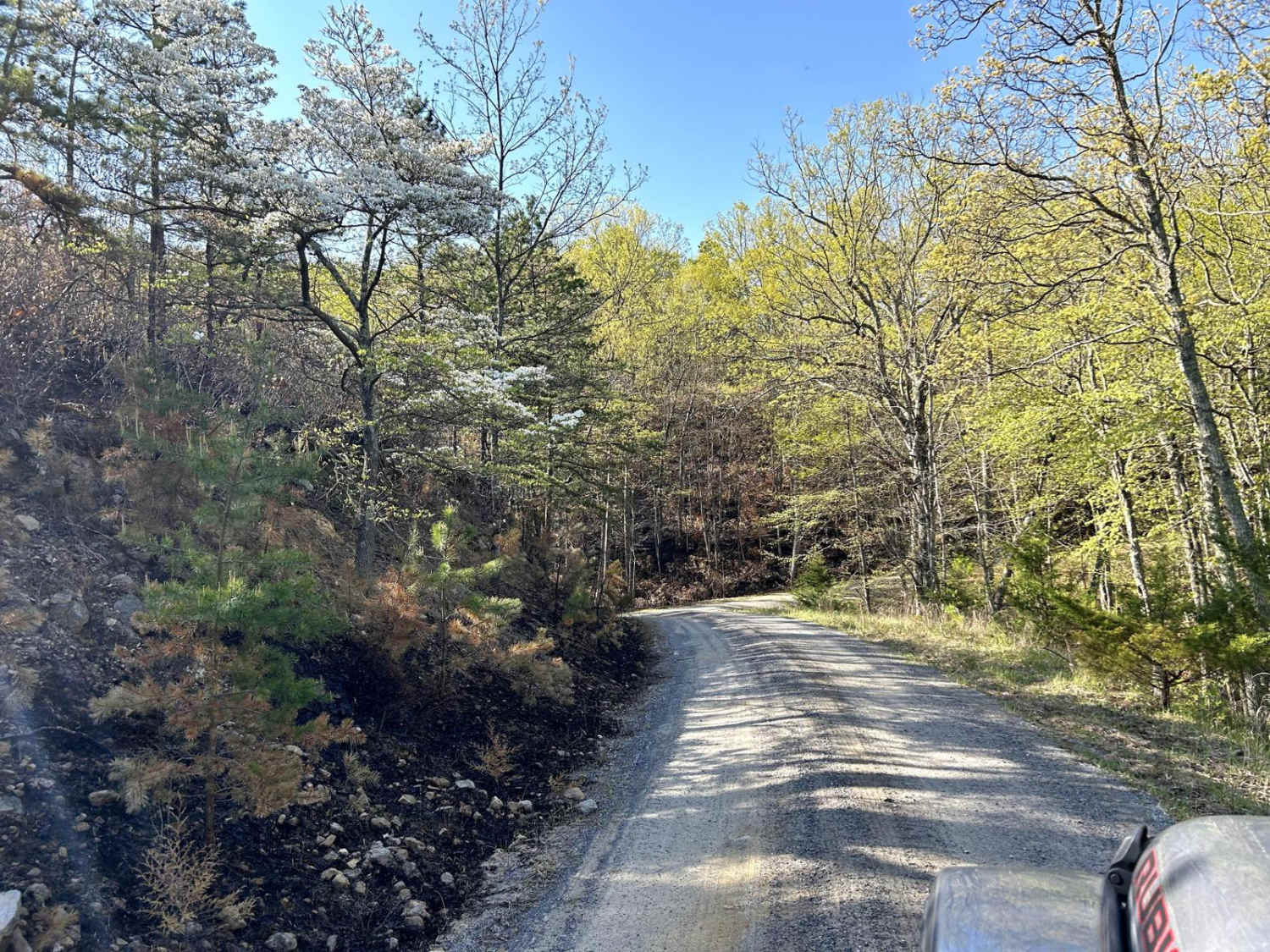
Squirrel Gap Road

Squirrel Gap Road

This is a gravel road with many primitive camping spots and beautiful views of the mountains around you. It's not technical, but it's a great trail to be out in nature and even find time…
Learn more about Squirrel Gap Road
Total Miles
11.6
Tech Rating
1 Easy
Best Time
Spring, Summer, Fall, Winter
Learn more about Stillhouse Run Road (FS304)
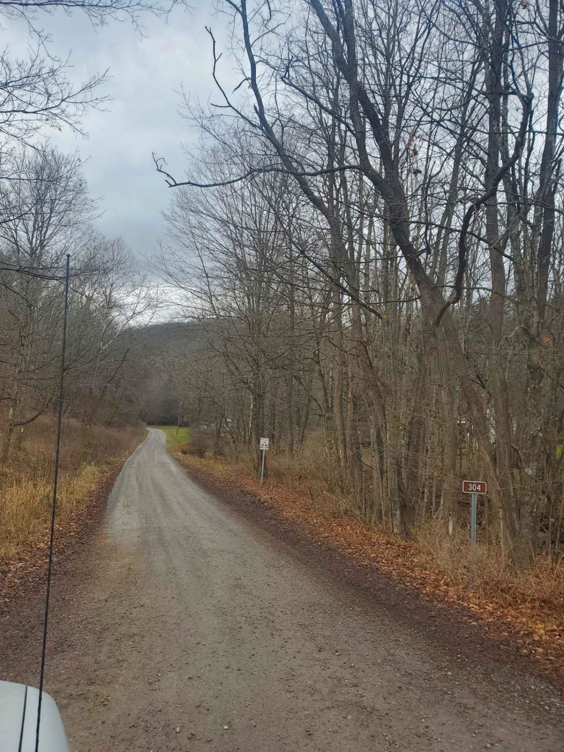
Stillhouse Run Road (FS304)

Stillhouse Run Road (FS304)

This Monongahela National Forest Road shares an entrance with Monday Lick Road (FS1002), just south of the town of Marlinton, West Virginia. It follows the Stillhouse Run Creek up to its headwaters above the Greenbriar…
Learn more about Stillhouse Run Road (FS304)
Total Miles
4.1
Tech Rating
2 Easy
Best Time
Spring, Summer, Fall, Winter
Learn more about Stonebridge Trail
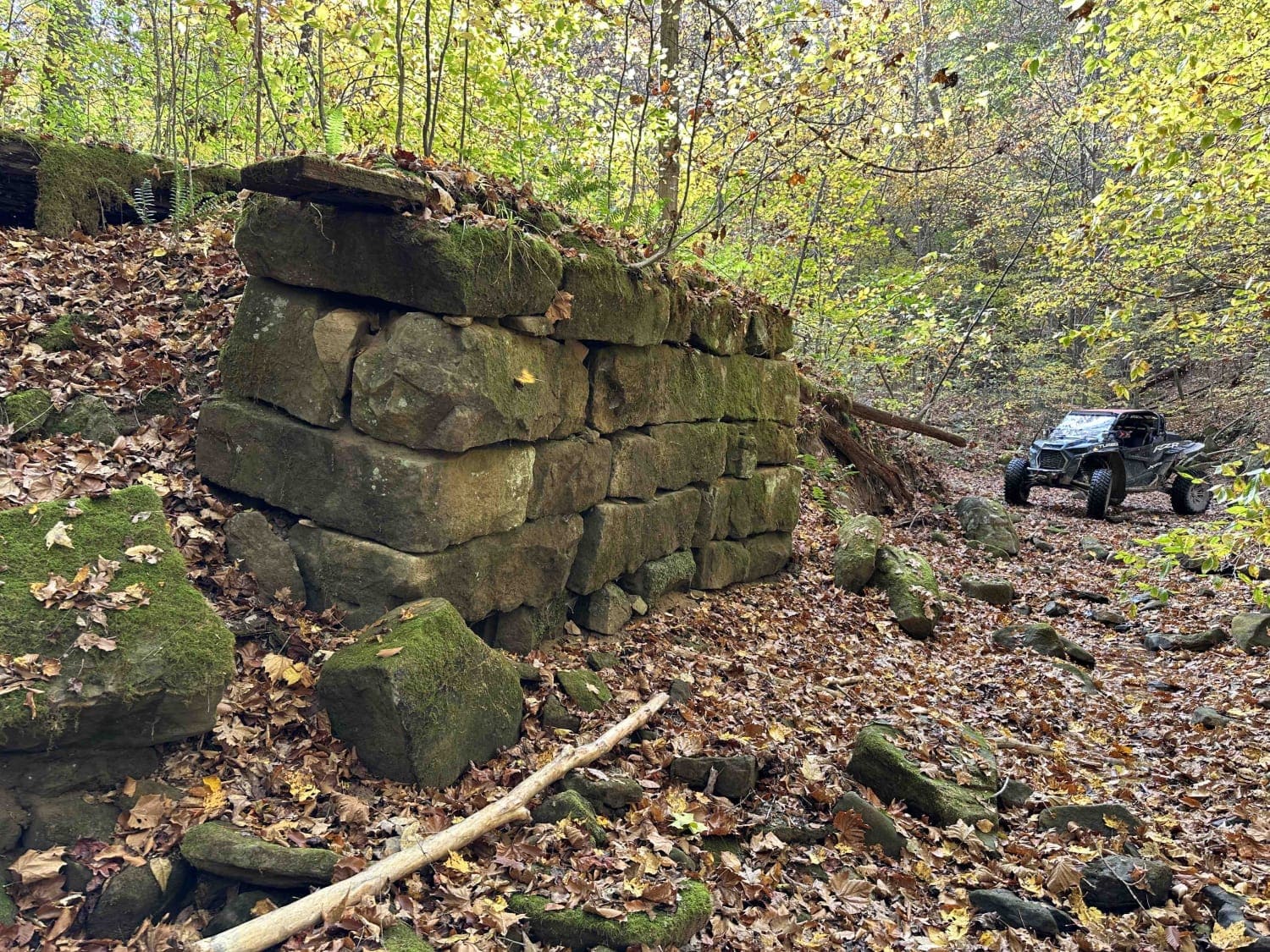
Stonebridge Trail

Stonebridge Trail

On this very scenic ride down along the creek, you will pass the remains of two bridges. The first will be on the left and is the larger of the two. The next will be…
Learn more about Stonebridge Trail
Total Miles
1.5
Tech Rating
2 Easy
Best Time
Fall
Learn more about Stoney Run
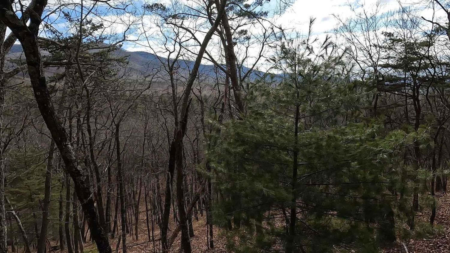
Stoney Run

Stoney Run

Stoney Run (WV61) is a dirt and gravel road that more or less runs parallel to the trail to Reddish Knob. The trail is sufficiently wide enough for two vehicles to pass each other, and…
Learn more about Stoney Run
Total Miles
11.5
Tech Rating
2 Easy
Best Time
Winter, Fall, Summer, Spring
Learn more about The Road Across The Sky
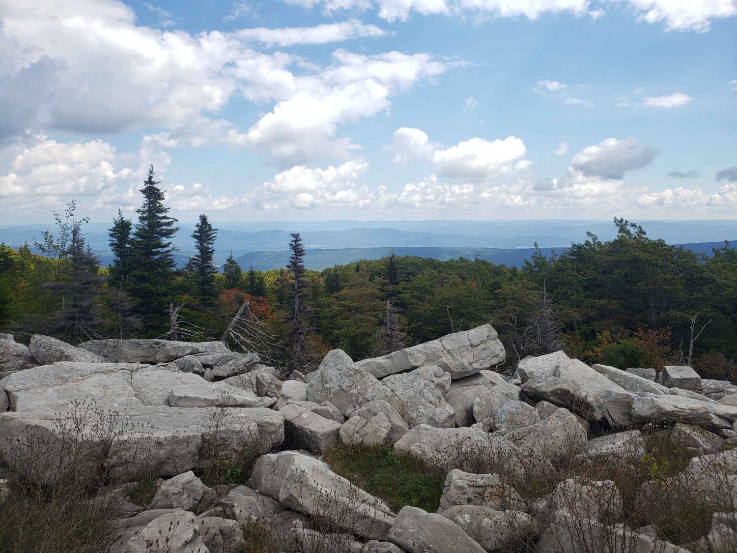
The Road Across The Sky

The Road Across The Sky

The Road Across The Sky, FR75, is in Monongahela National Forest, West Virginia. The road runs North-South through the Dolly Sods Wilderness. The Bear Rocks is on the summit of the plateau, and completely necessary…
Learn more about The Road Across The Sky
Total Miles
15.3
Tech Rating
1 Easy
Best Time
Spring, Summer, Fall, Winter
Learn more about Top of The Ridge Trail
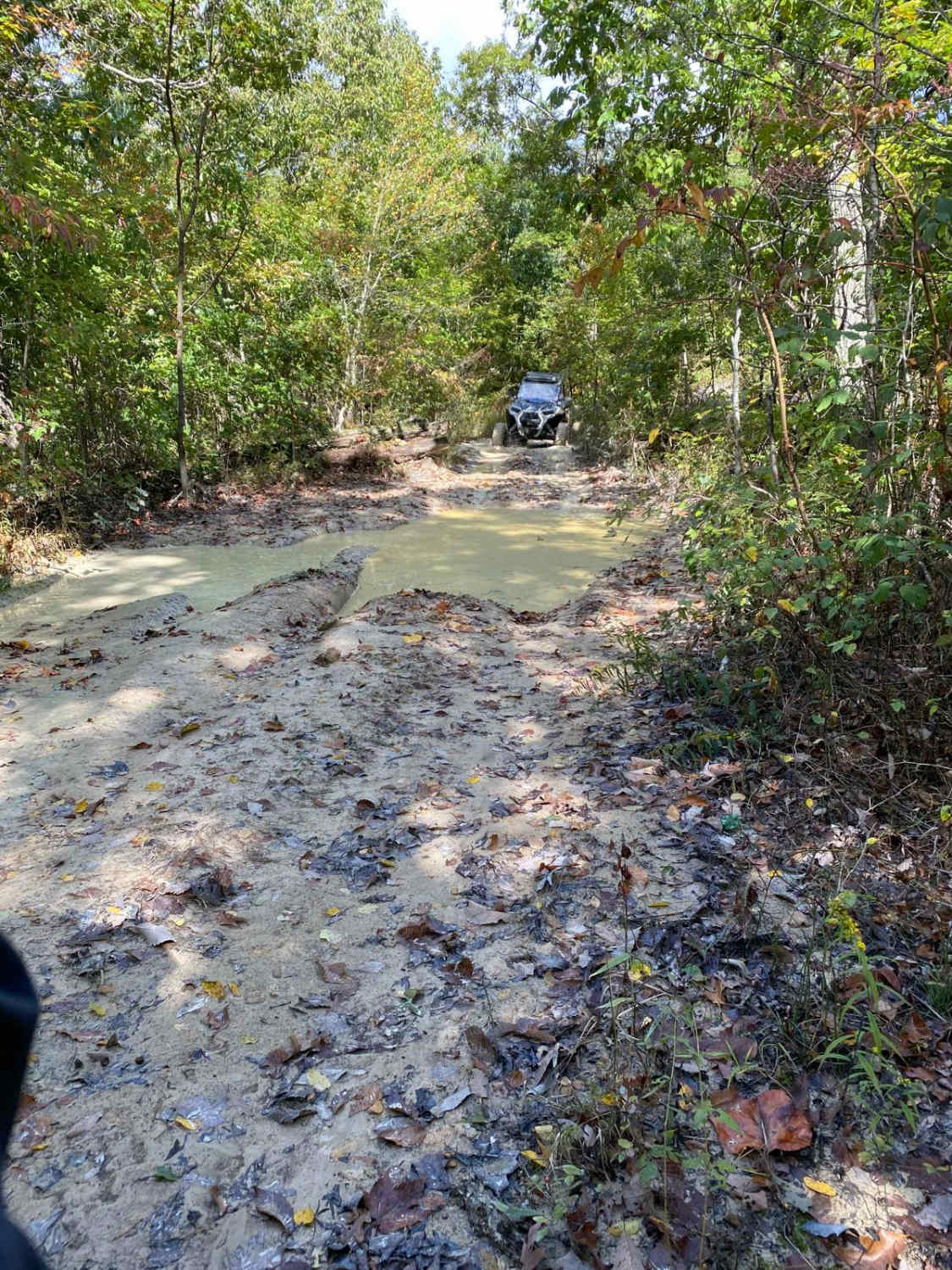
Top of The Ridge Trail

Top of The Ridge Trail

This trail is Easy/Medium in terms of difficulty. The trail starts on a paved road, then quickly turns to dirt for the majority of the trail. There are hills, mud, and woods that have to…
Learn more about Top of The Ridge Trail
Total Miles
1.3
Tech Rating
6 Moderate
Best Time
Fall
Learn more about Trans American Trail WV
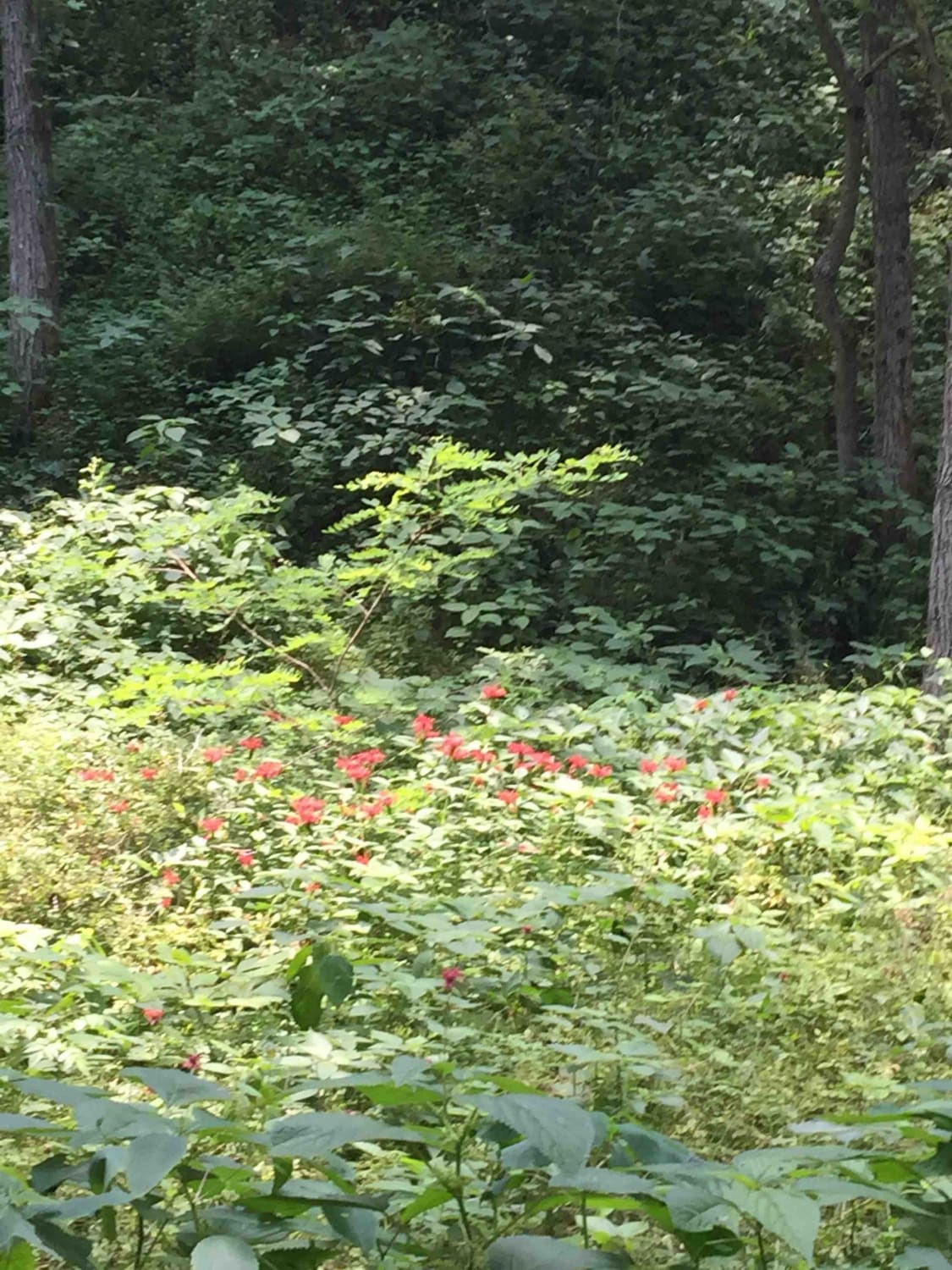
Trans American Trail WV

Trans American Trail WV

Some of the West Virginia TAT. Started in Marlington WV and went to Williams River, Planned on going all the way to Sutton WV but due to flood damage part of this trail is expected…
Learn more about Trans American Trail WV
Total Miles
20.1
Tech Rating
2 Easy
Best Time
Spring, Summer, Fall, Winter
Learn more about Wade Adkins Branch Road
Wade Adkins Branch Road

Wade Adkins Branch Road

This trail is Easy/Medium. We started on a paved road then it turned to dirt. As we went farther the trail was more off-road and we came across some water crossings, hills, mud and woods…
Learn more about Wade Adkins Branch Road
Total Miles
13.4
Tech Rating
3 Easy
Best Time
Summer
Learn more about Water Holler
Water Holler

Water Holler

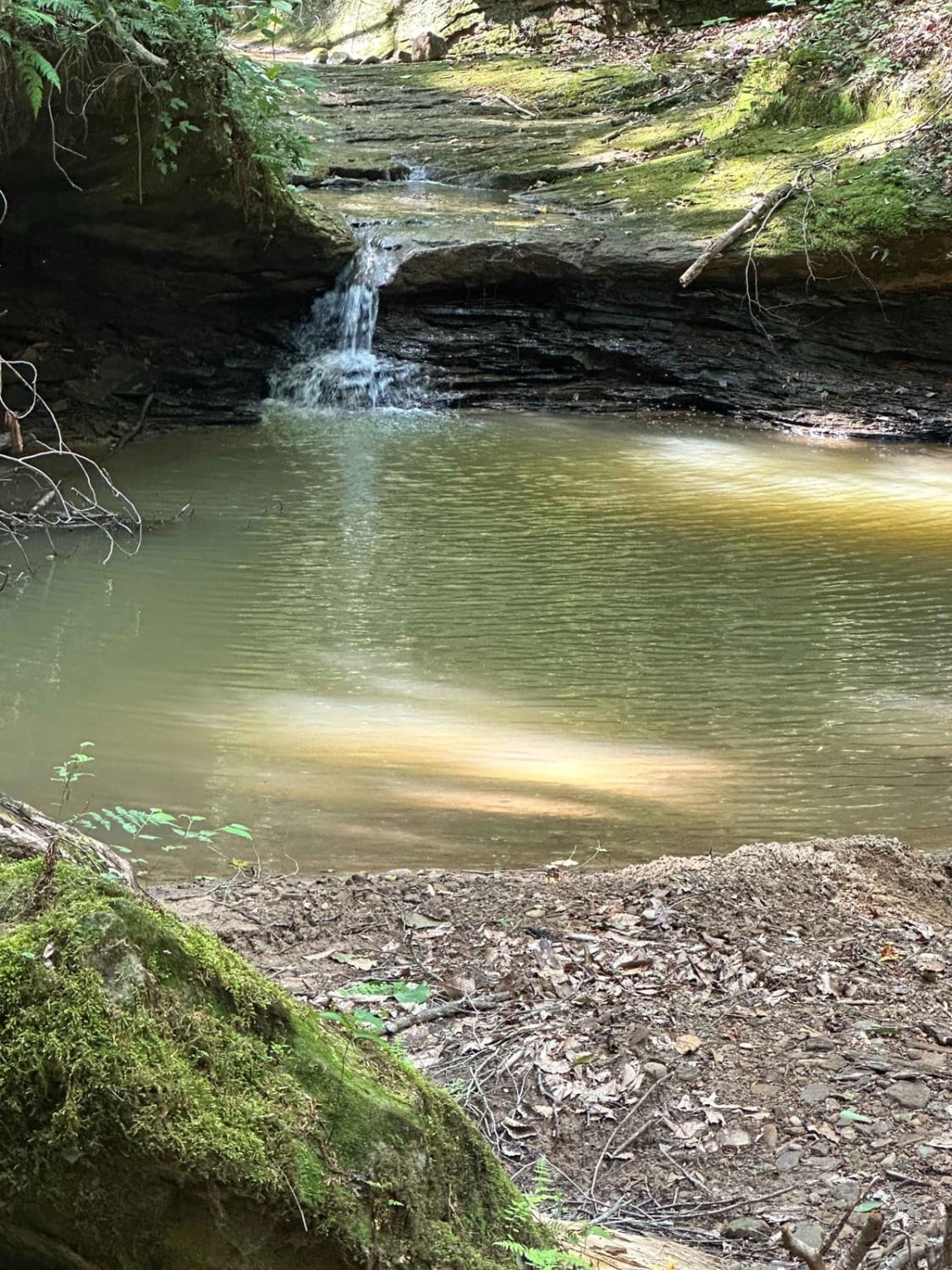
This is a rocky creek ride, with lots of waterfalls and caves. This is a very scenic trail that ends or begins with a steep rutted hill climb. I recommend riding in the fall of…
Learn more about Water Holler
Total Miles
1.3
Tech Rating
8 Difficult
Best Time
Fall
Learn more about Westside Road
Westside Road

Westside Road

Westside Road travels along the western slope of Shenandoah mountain in WV. Be respectful while travelling through private property, from WV Co Route 34 to the National Forest boundary. The route is generally dirt with…
Learn more about Westside Road
Total Miles
12.8
Tech Rating
2 Easy
Best Time
Spring, Summer, Fall, Winter

The onX Offroad Difference

onX Offroad combines trail photos, descriptions, difficulty ratings, width restrictions, seasonality, and more in a user-friendly interface. Available on all devices, with offline access and full compatibility with CarPlay and Android Auto. Discover what you’re missing today!