Upper Woodpecker to Ajax Mine
Total Miles
17.1
Elevation
1,138.09 ft
Duration
--
Technical Rating
Best Time
Spring, Summer, Fall, Winter
Trail Overview
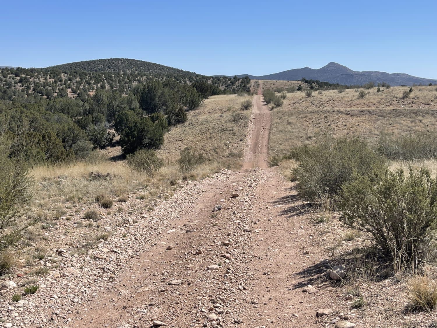
This trail follows the difficult wash known as Upper Woodpecker. At the eastern end of the wash, the trail climbs up a narrow winding trail to join Ajax Mine Road. The wash is very difficult. Lockers and 33 inch or larger tires are recommended. The trail following the wash is intermediate and does not require lockers but would still be advisable at a few points. If you take the eastbound route to Ajax Mine and beyond, it gets very narrow. Some of the switchbacks and turns may require vehicles to make a three-point turn. The loop takes you to the highest mountain top where you can see Florence and, to the south, all the way to Apache Junction.
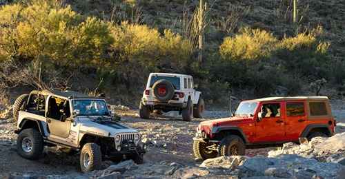
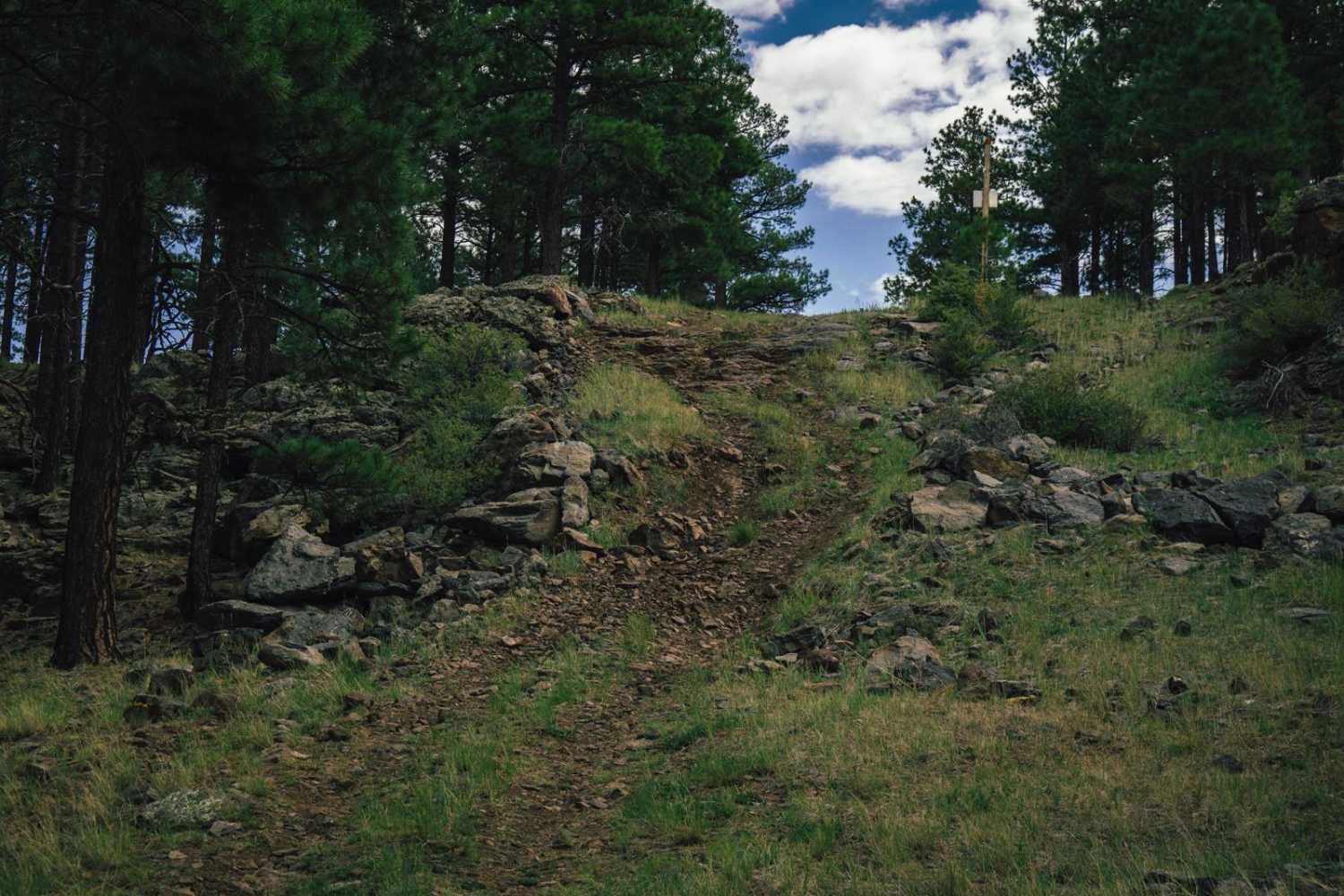
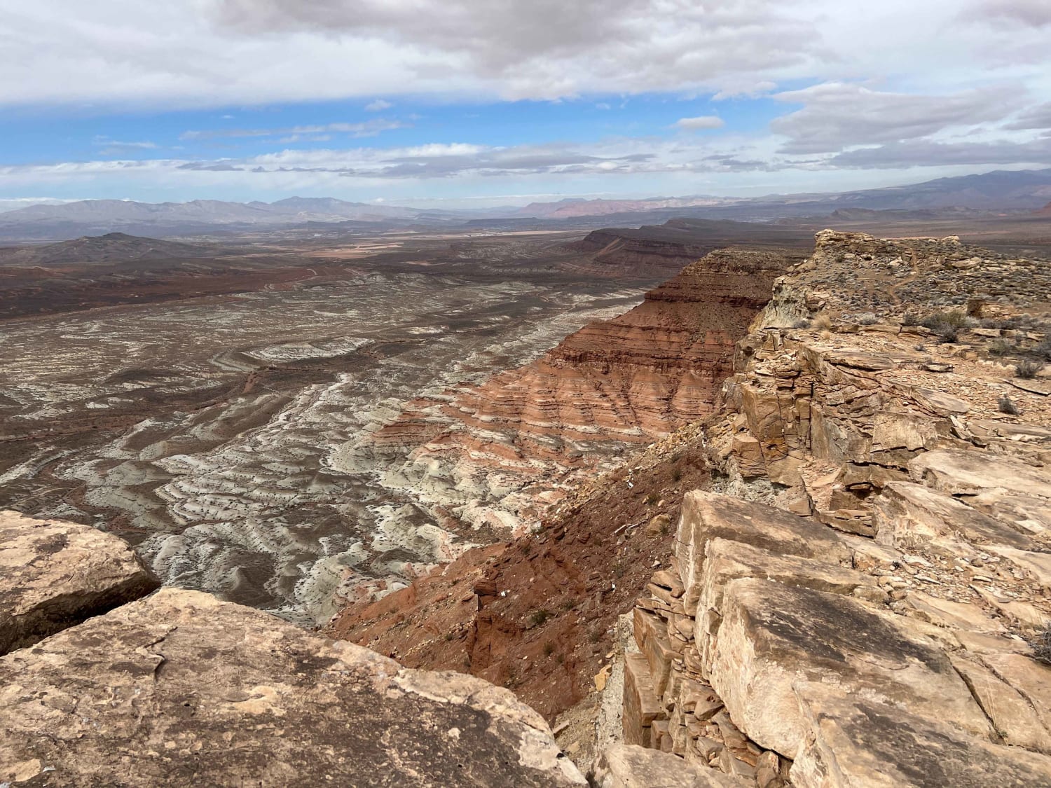
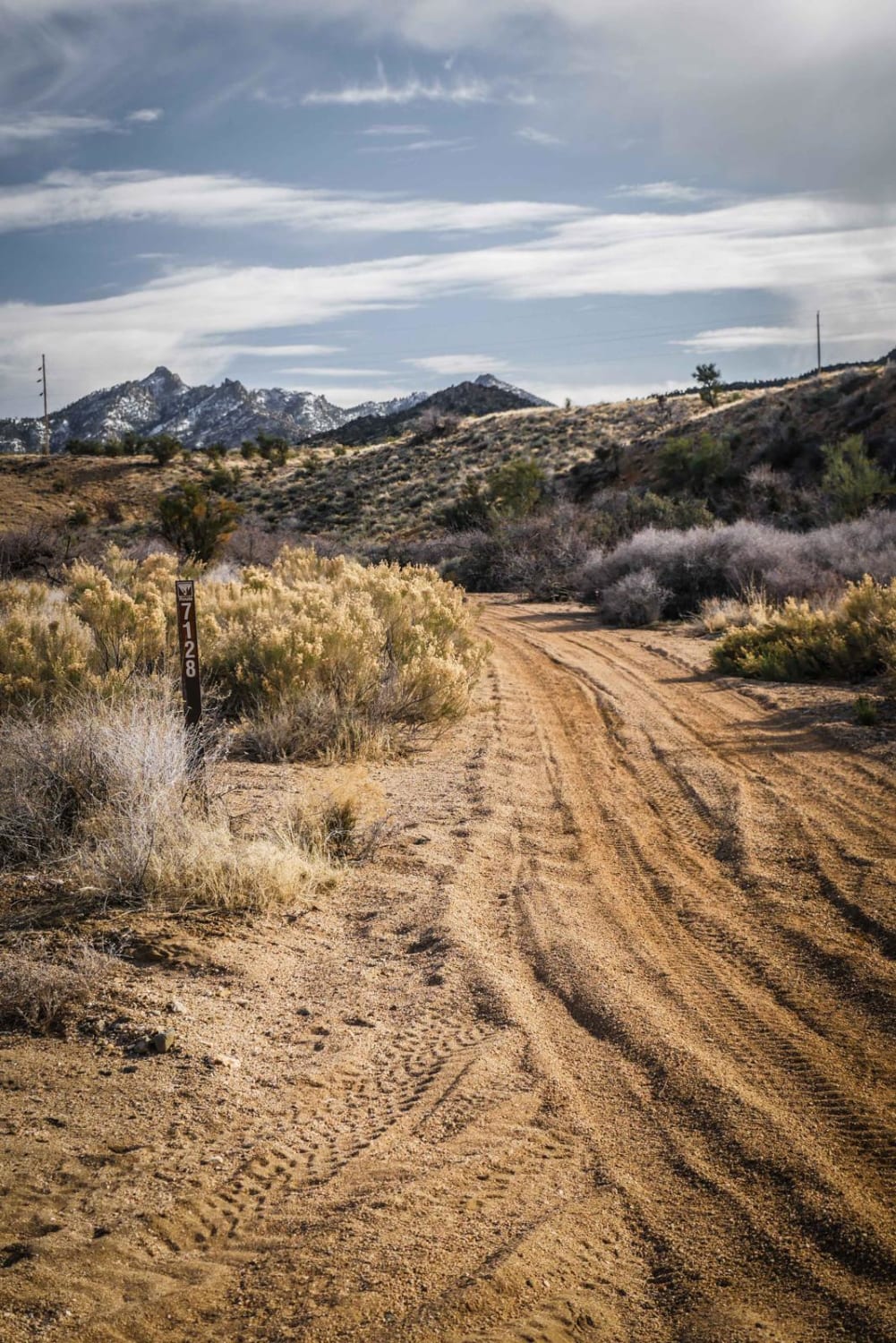
Photos of Upper Woodpecker to Ajax Mine

Difficulty
The wash is filled with obstacles with many options of lines and levels of difficulty. The trail itself does dip into the wash at a few spots and ends going through a less difficult part of the wash. The trail is intermediate.
Status Reports
Popular Trails
East Mesa Overlook
I-40 Parallel ATV Trail
Muldoon's Dead End
The onX Offroad Difference
onX Offroad combines trail photos, descriptions, difficulty ratings, width restrictions, seasonality, and more in a user-friendly interface. Available on all devices, with offline access and full compatibility with CarPlay and Android Auto. Discover what you’re missing today!