Muldoon / 638
Total Miles
8.3
Elevation
1,510.21 ft
Duration
1.25 Hours
Technical Rating
Best Time
Spring, Fall, Winter
Trail Overview
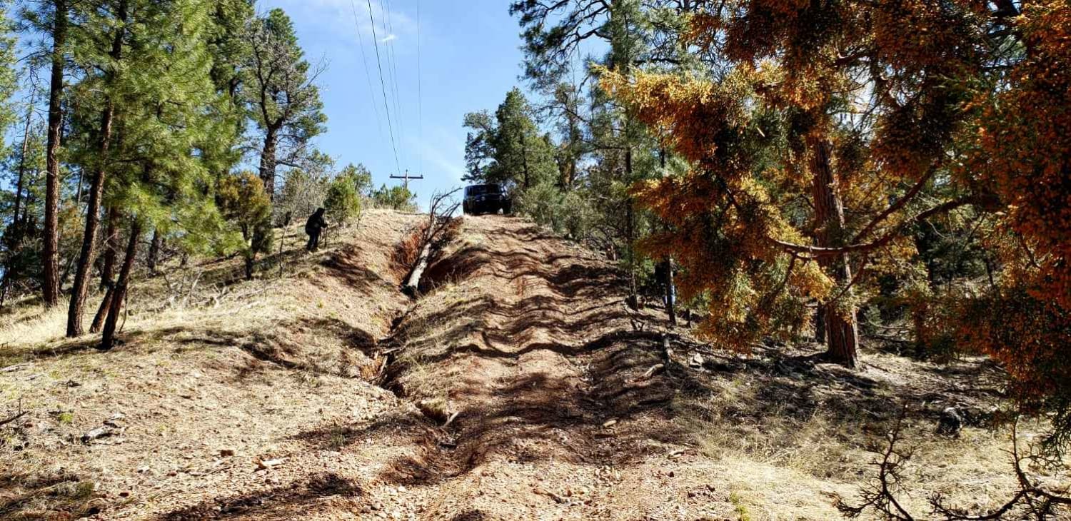
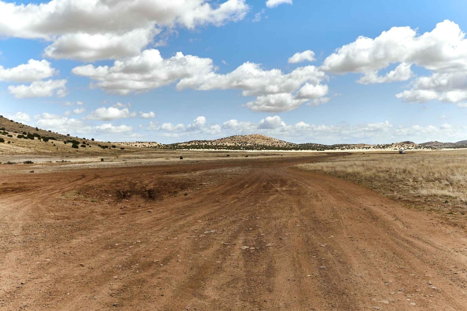
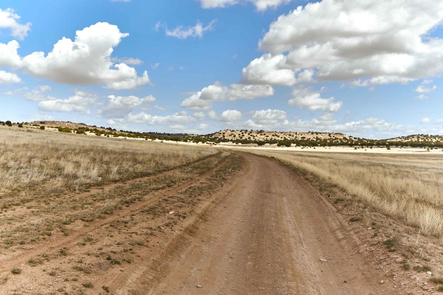
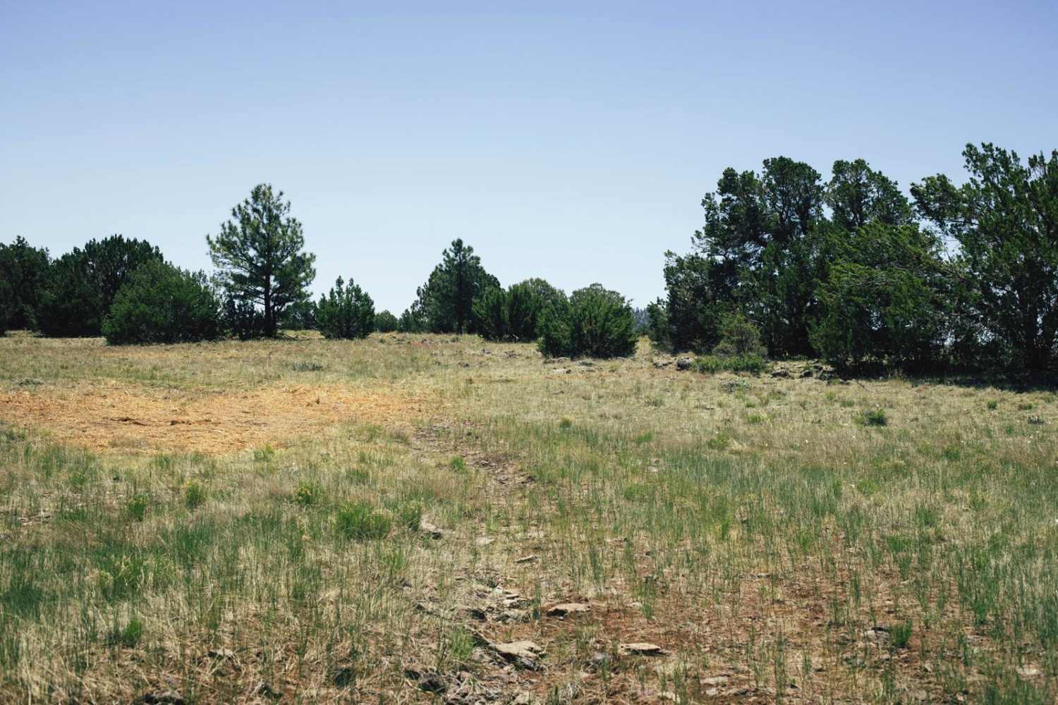
Muldoon starts off as a gentle, wide, rolling trail. As you proceed North, out of the grassy pasture, the trail yields to off camber mudruts with whoop-like rollers in several spots. The further North, the rougher this trail gets with small ledges, steep rocky hill-climbs, and wash crossings. High clearance is required as some of the hills have sneaky rock garden sections that will happily test your skills as a driver. If you thought the views in the valley were pretty, wait til you see them up top. On your way, look for a few sporadic campsites on the ridge with great views, and primitive fire rings. With no service on this route, it just might be the perfect way to disconnect. The trail terminates back down at the level of the Verde River, with a large campsite, turnaround, and a gate indicating further hiking and exploration trails deeper into the wilderness.
Photos of Muldoon / 638
Difficulty
Uneven, rutted dirt trail with potential for loose rocks and sandy washes. Water crossings less than a foot deep. Potential for mud holes and trail obstacles up to 12", including ledges and short, steep grades. Roads are typically one vehicle wide with places to pass.
Status Reports
Popular Trails

Butler Point

Smith & Evans Bypass

9057 with a Mine
The onX Offroad Difference
onX Offroad combines trail photos, descriptions, difficulty ratings, width restrictions, seasonality, and more in a user-friendly interface. Available on all devices, with offline access and full compatibility with CarPlay and Android Auto. Discover what you’re missing today!


