Off-Road Trails in Alabama

Discover off-road trails in Alabama

Learn more about USFS 142 - Moody Bend
USFS 142 - Moody Bend

USFS 142 - Moody Bend

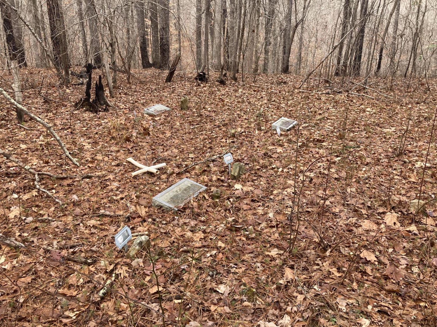
USFS 142, "Moody Bend", is an out-and-back trail in Bankhead National Forest. Moody Bend offers wildlife viewing, hunting, hiking, and dispersed camping opportunities. There are two wildlife openings along the route and the entire route…
Learn more about USFS 142 - Moody Bend
Total Miles
1.2
Tech Rating
2 Easy
Best Time
Spring, Summer, Winter, Fall
Learn more about USFS 726 - Phalen Spur
USFS 726 - Phalen Spur

USFS 726 - Phalen Spur

Serving as one of the main North-South routes, USFS 726, or Phalen Spur, runs through the heart of Oakmulgee WMA within the Talledega National Forest. USFS 726 is an easy ride, with most of the…
Learn more about USFS 726 - Phalen Spur
Total Miles
10.2
Tech Rating
1 Easy
Best Time
Spring, Summer, Fall, Winter
Learn more about USFSR #500
USFSR #500

USFSR #500

USFSR #500 is considered the "primary" road that runs from the southern end; starting at Skyline Drive/AL HWY 281/US HWY 78 and ends at the Northern part in the city of Piedmont in Calhoun County.…
Learn more about USFSR #500
Total Miles
20.4
Tech Rating
1 Easy
Best Time
Spring, Summer, Fall, Winter
Learn more about USFSR #500 pt 2
USFSR #500 pt 2

USFSR #500 pt 2

This northern portion is NOT in the Choccolocco wildlife management area, but still is in the Talladega National Forest. USFSR #500 is considered the "primary" road that runs from the southern end; starting at Skyline…
Learn more about USFSR #500 pt 2
Total Miles
3.0
Tech Rating
1 Easy
Best Time
Spring, Summer, Fall, Winter
Learn more about USFSR #500E - Corn
USFSR #500E - Corn

USFSR #500E - Corn

USFSR #500E - Corn is a wide-open dirt trail that is seasonally open from 10/01-02/29. This trail is located inside the Shoal Creek Ranger District of the Talladega National Forest and is a dead-end trail.…
Learn more about USFSR #500E - Corn
Total Miles
1.2
Tech Rating
2 Easy
Best Time
Fall, Winter
Learn more about USFSR #500K
USFSR #500K

USFSR #500K

USFSR #500K is the last trail that spurs off the primary road going in and out of the Shoal Creek Ranger District portion of the Talladega National Forest. This Northernmost trail is outside the Choccolocco…
Learn more about USFSR #500K
Total Miles
4.5
Tech Rating
1 Easy
Best Time
Fall, Winter
Learn more about USFSR #500M Sweetwater Lake
USFSR #500M Sweetwater Lake

USFSR #500M Sweetwater Lake

USFSR 500M is a trail that is much like a rollercoaster. It has many steep, short down grades to an immediate steep, short uphill--usually with mud holes in between. The trail is very hard packed,…
Learn more about USFSR #500M Sweetwater Lake
Total Miles
0.9
Tech Rating
3 Easy
Best Time
Spring, Summer, Fall, Winter
Learn more about USFSR #500R - Raven Rock
USFSR #500R - Raven Rock

USFSR #500R - Raven Rock

USFSR #500R - Ravenrock is a flat route at the northern entrance of the Talladega National Forest. This dead-end trail in the Shoal Creek Ranger District is gated and seasonal. Its seasonal dates are 10/01-04/01.…
Learn more about USFSR #500R - Raven Rock
Total Miles
1.1
Tech Rating
2 Easy
Best Time
Fall, Winter
Learn more about USFSR #502A - Old Telephone Line
USFSR #502A - Old Telephone Line

USFSR #502A - Old Telephone Line

USFSR #502A - Old Telephone Line is a seasonally open trail from 10/01-02/29. This trail has been well maintained on the first third of the trail. The remaining two-thirds have not been maintained in many…
Learn more about USFSR #502A - Old Telephone Line
Total Miles
1.1
Tech Rating
5 Moderate
Best Time
Fall, Winter
Learn more about USFSR #512 Ivory Mountain
USFSR #512 Ivory Mountain

USFSR #512 Ivory Mountain

USFSR #512 Ivory Mountain is a small summit inside the Talladega National Forest and now hosts the spring walk in the Turkey hunt. This area features gradual rolling hills with many trails cut throughout it.…
Learn more about USFSR #512 Ivory Mountain
Total Miles
5.8
Tech Rating
2 Easy
Best Time
Spring, Summer, Fall, Winter
Learn more about USFSR #512A
USFSR #512A

USFSR #512A

USFSR #512A is a seasonally open trail that gives the right of way to private hunting land in the first section. USFSR #51A begins off USFSR #512 and rides along North Shinbone Ridge, just outside…
Learn more about USFSR #512A
Total Miles
1.2
Tech Rating
3 Easy
Best Time
Fall, Winter
Learn more about USFSR #515 Watts Mountainway East
USFSR #515 Watts Mountainway East

USFSR #515 Watts Mountainway East

USFSR #515 Watts Mtwy East begins at AL Hwy 281 and according to the US Forest Service Motor Vehicle Use Map, ends about a mile down. The eastern section does however, connect to the western…
Learn more about USFSR #515 Watts Mountainway East
Total Miles
1.0
Tech Rating
5 Moderate
Best Time
Fall, Winter
Learn more about USFSR #515 Watts Mountainway West
USFSR #515 Watts Mountainway West

USFSR #515 Watts Mountainway West

USFSR #515 Watts Mtwy West begins on Mellon Bridge Road near Choccolocco Lake #11, more commonly known to the locals as Hillabee Water Shed. It is a very scenic drive, but has a few spots…
Learn more about USFSR #515 Watts Mountainway West
Total Miles
2.3
Tech Rating
5 Moderate
Best Time
Fall, Winter
Learn more about USFSR #518 Crane Motorway
USFSR #518 Crane Motorway

USFSR #518 Crane Motorway

USFSR #518 Crane Motorway is a popular trail for hunters as offers lots of hardwoods and pine thickets throughout. The first half of the trail is fairly open, but due to high traffic it has…
Learn more about USFSR #518 Crane Motorway
Total Miles
2.2
Tech Rating
3 Easy
Best Time
Fall, Winter
Learn more about USFSR #519A Interstate
USFSR #519A Interstate

USFSR #519A Interstate

Looking for a place to cool off but still be close to civilization? This one's for you. USFSR #519A Interstate is exactly what is says. It is a good spot for a quick picnic in…
Learn more about USFSR #519A Interstate
Total Miles
1.1
Tech Rating
1 Easy
Best Time
Spring, Summer, Fall, Winter
Learn more about USFSR #522
USFSR #522

USFSR #522

USFSR #522 is an entry/exit road to the Choccolocco Wildlife Management Area within the Talladega National Forest. It begins at AL HWY-9 and ends at USFSR #531. Its maintained nearly all year long, but is…
Learn more about USFSR #522
Total Miles
3.4
Tech Rating
2 Easy
Best Time
Spring, Summer, Fall, Winter
Learn more about USFSR #523
USFSR #523

USFSR #523

This route is most common to the local communities as a back way into the management area of the Talladega National Forest. It is not maintained often. It's common to see up to 6" ruts…
Learn more about USFSR #523
Total Miles
2.1
Tech Rating
3 Easy
Best Time
Spring, Summer, Fall, Winter
Learn more about USFSR #530
USFSR #530

USFSR #530

USFSR #530 is a beautiful scenic ride from USFSR #500 and dead ends at private land, with no exit. Some maps may show two small trails, but there is no entrance to those small trails…
Learn more about USFSR #530
Total Miles
3.4
Tech Rating
2 Easy
Best Time
Spring, Summer, Fall, Winter
Learn more about USFSR #531
USFSR #531

USFSR #531

USFSR #531 is a dirt and gravel mixed trail that starts at USFSR #500 and ends at USFSR #548 of the southern half. It intersects USFSR #500 again in the middle of the trail. It…
Learn more about USFSR #531
Total Miles
7.3
Tech Rating
2 Easy
Best Time
Spring, Summer, Fall, Winter
Learn more about USFSR #531I
USFSR #531I

USFSR #531I

USFSR #531i is a very short seasonal trail with a gate that is only open during hunting season. It takes only a few minutes to complete, and is not maintained. There are usually brush and…
Learn more about USFSR #531I
Total Miles
0.6
Tech Rating
3 Easy
Best Time
Fall, Winter

The onX Offroad Difference

onX Offroad combines trail photos, descriptions, difficulty ratings, width restrictions, seasonality, and more in a user-friendly interface. Available on all devices, with offline access and full compatibility with CarPlay and Android Auto. Discover what you’re missing today!