Off-Road Trails in Alabama

Discover off-road trails in Alabama
Trail Length
Best Time of Year
Sort By
We can’t find any trails
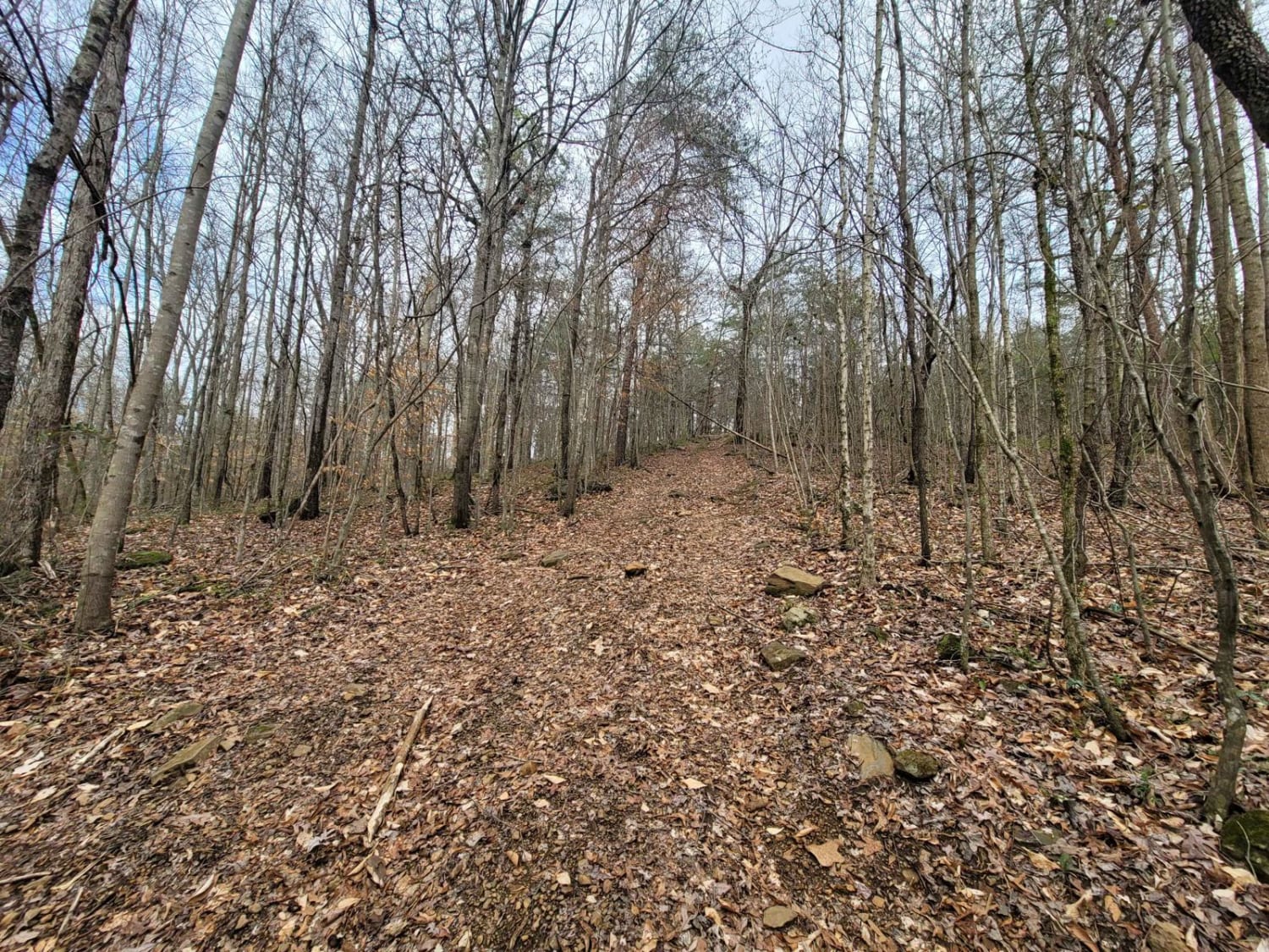
Learn more about Foothill's Cutover
Foothill's Cutover
Total Miles
1.7
Tech Rating
Easy
Best Time
Fall, Winter
Learn more about Fork Creek Road
Fork Creek Road
Total Miles
3.3
Tech Rating
Easy
Best Time
Spring, Summer, Fall, Winter
Learn more about FS 208EA 2

FS 208EA 2
Total Miles
1.5
Tech Rating
Easy
Best Time
Spring, Summer, Fall
Learn more about FS600-2

FS600-2
Total Miles
10.0
Tech Rating
Moderate
Best Time
Spring, Summer, Fall, Winter
Learn more about Gator

Gator
Total Miles
0.0
Tech Rating
Difficult
Best Time
Spring, Summer, Fall, Winter
Learn more about Gator Bypass
Gator Bypass
Total Miles
0.0
Tech Rating
Easy
Best Time
Spring, Summer, Fall, Winter
Learn more about GBU - The Bad

GBU - The Bad
Total Miles
0.0
Tech Rating
Difficult
Best Time
Spring, Summer, Winter, Fall
Learn more about GBU - The Good

GBU - The Good
Total Miles
0.0
Tech Rating
Moderate
Best Time
Spring, Summer, Fall, Winter
Learn more about GBU - The Ugly

GBU - The Ugly
Total Miles
0.0
Tech Rating
Difficult
Best Time
Spring, Summer, Fall, Winter
Learn more about GBU Bypass

GBU Bypass
Total Miles
0.1
Tech Rating
Easy
Best Time
Spring, Summer, Fall, Winter
Learn more about Grab mill Rd/ XC Rd FS 305

Grab mill Rd/ XC Rd FS 305
Total Miles
12.5
Tech Rating
Easy
Best Time
Spring, Summer, Fall, Winter
Learn more about Green Horn
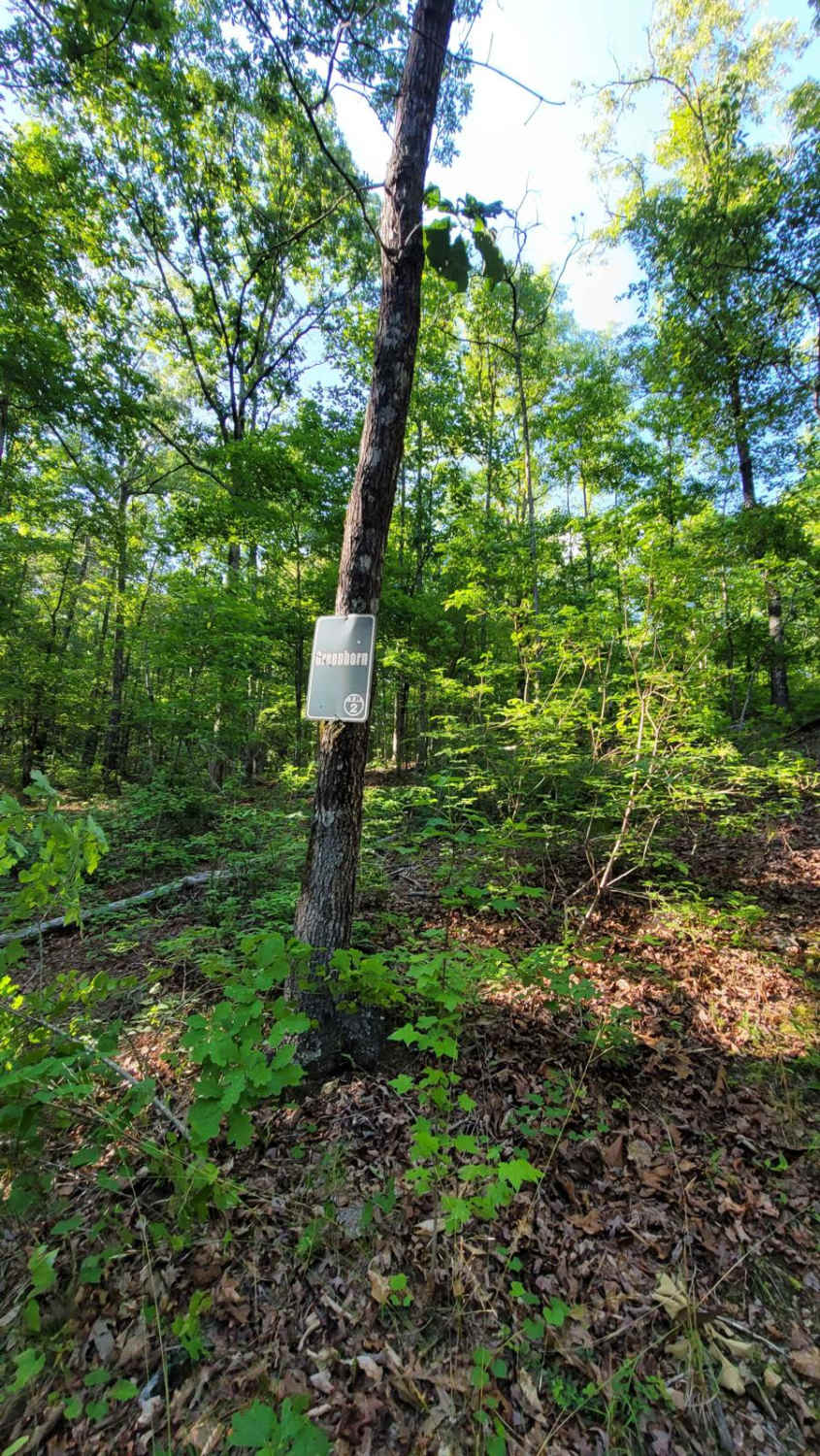
Green Horn
Total Miles
0.2
Tech Rating
Moderate
Best Time
Spring, Summer, Fall, Winter
Learn more about Grindstone Road - FS 109

Grindstone Road - FS 109
Total Miles
4.8
Tech Rating
Easy
Best Time
Spring, Summer, Fall, Winter
Learn more about Gum Pond Motorway - FS 229

Gum Pond Motorway - FS 229
Total Miles
4.4
Tech Rating
Easy
Best Time
Spring, Summer, Fall, Winter
Learn more about Hammer Down

Hammer Down
Total Miles
0.1
Tech Rating
Difficult
Best Time
Spring, Summer, Fall, Winter
Learn more about Hard Access

Hard Access
Total Miles
0.1
Tech Rating
Moderate
Best Time
Spring, Summer, Fall, Winter
Learn more about Hickory Grove Road - FS 255

Hickory Grove Road - FS 255
Total Miles
5.9
Tech Rating
Easy
Best Time
Spring, Fall
Learn more about Hogfoot Road - FS 332

Hogfoot Road - FS 332
Total Miles
3.6
Tech Rating
Easy
Best Time
Spring, Summer, Fall, Winter
Learn more about Hornets Nest

Hornets Nest
Total Miles
0.1
Tech Rating
Moderate
Best Time
Spring, Summer, Fall, Winter
Learn more about Hornets Nest Bypass
Hornets Nest Bypass
Total Miles
0.0
Tech Rating
Easy
Best Time
Spring, Summer, Fall, Winter
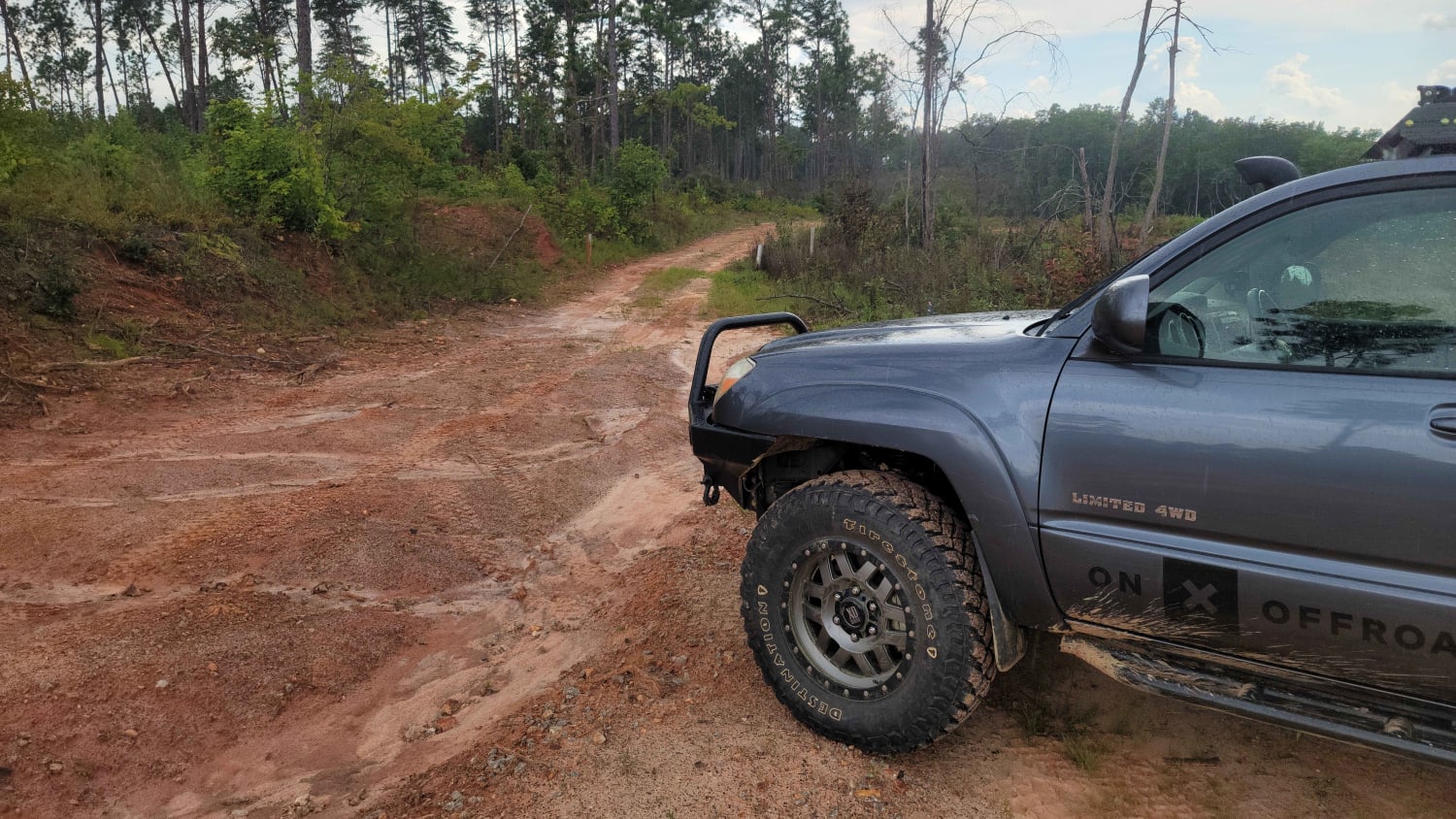
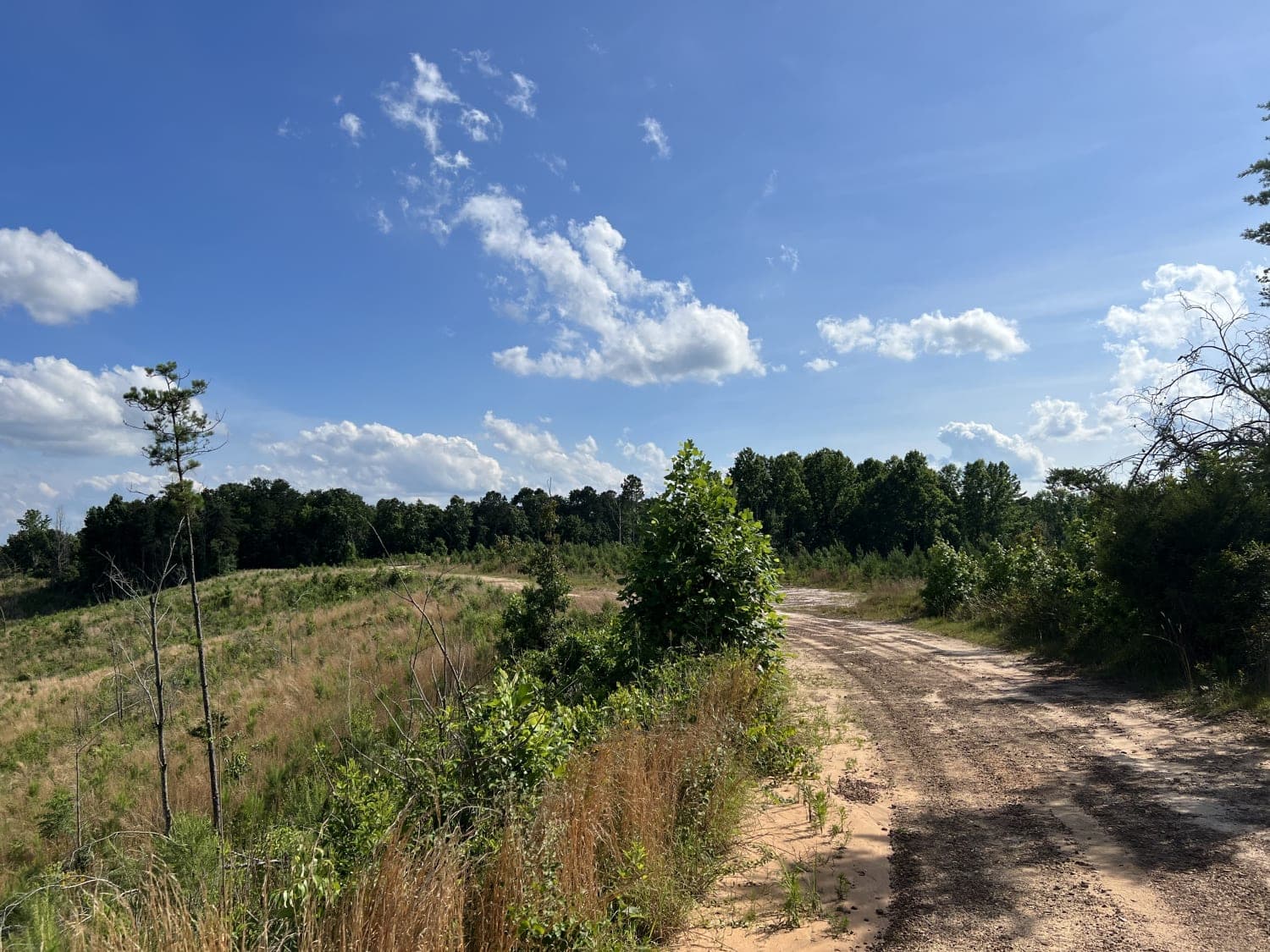
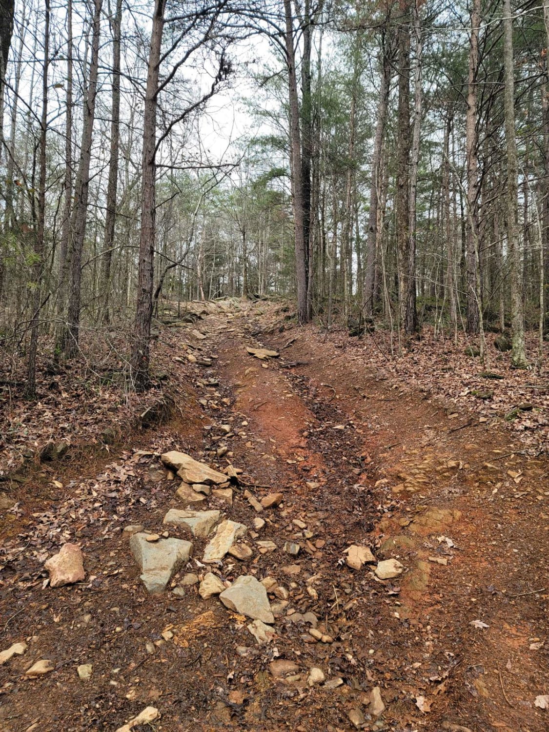
The onX Offroad Difference
onX Offroad combines trail photos, descriptions, difficulty ratings, width restrictions, seasonality, and more in a user-friendly interface. Available on all devices, with offline access and full compatibility with CarPlay and Android Auto. Discover what you’re missing today!