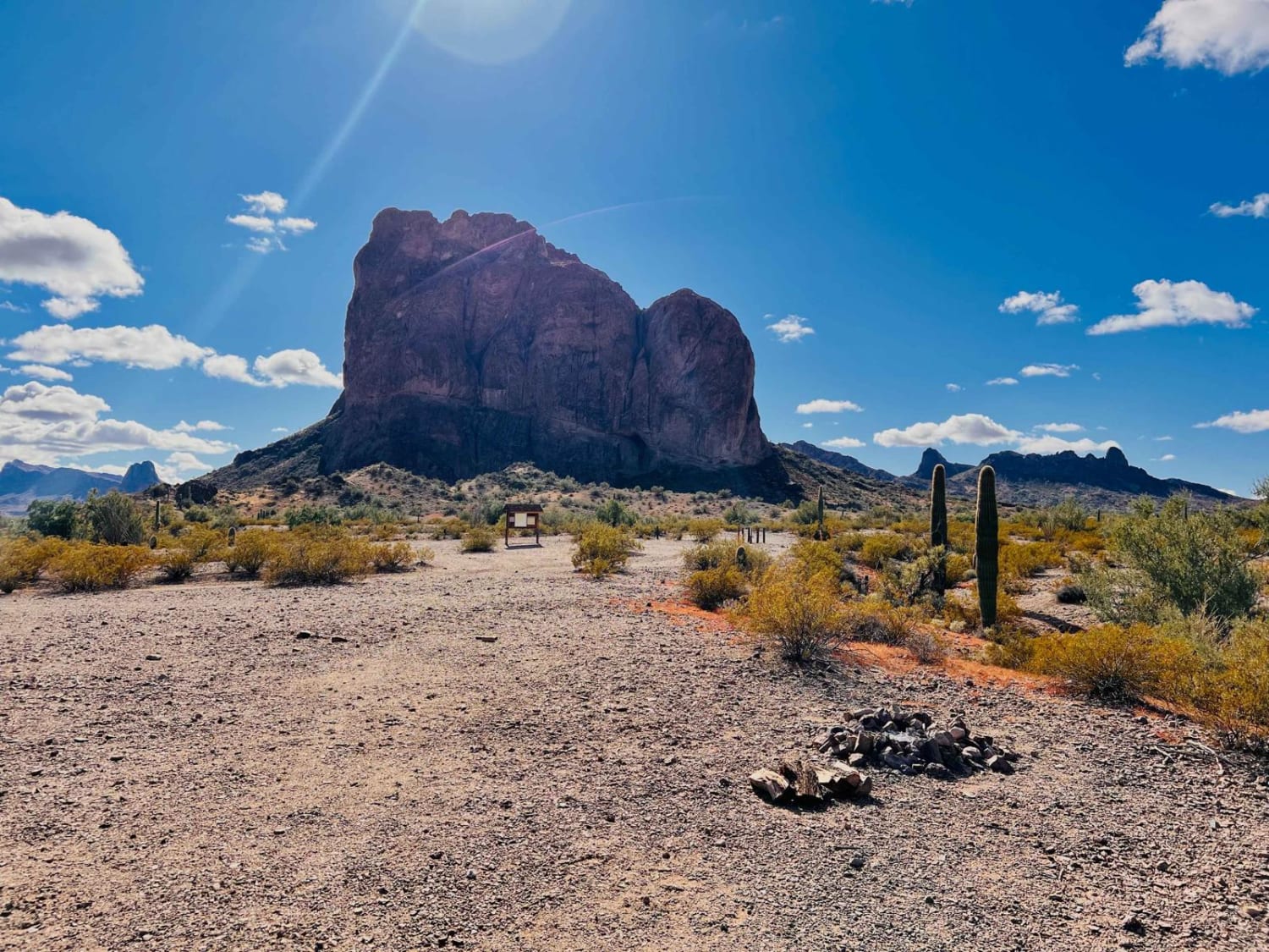
Courthouse Rock
Total Miles
4.1
Technical Rating
Best Time
Spring, Fall, Winter
Trail Type
High-Clearance 4x4 Trail
Accessible By
Trail Overview
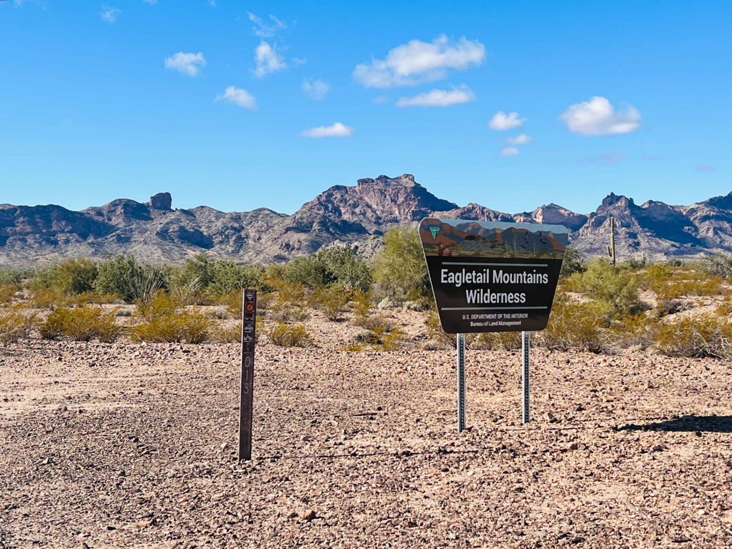
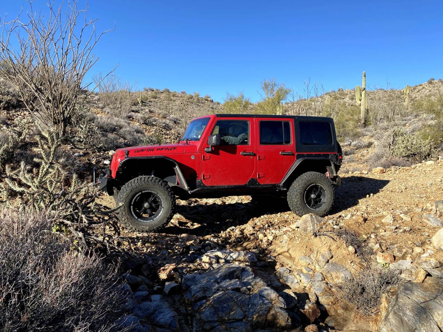
This trail is a fun loop that leads right to the Eagletail Mountain Wilderness boundary. From the boundary, there are plenty of camping and fire rings to base camp and continue on foot. Rock climbing is allowed on Courthouse Rock and appears to be excellent. The western side of the loop is relatively easy for almost any 4x2 vehicle. The eastern loop is a 4x4 trail with more camping options and a nice wilderness watering tank. Keep in mind some sections of this area are Arizona State Land Trust land, and an inexpensive permit is required for camping and general access. It's a beautiful trail and well worth the side trip. There are one to two bars of Verizon LTE. Watch for low-flying F-22 raptors buzzing the deck for an exhilarating experience.
Photos of Courthouse Rock
Difficulty
Sandy wash crossings with steep entry and exits, a small section of off-camber.
History
The Eagletail Mountains Wilderness (97,880 acres) in Arizona is managed by the Bureau of Land Management. In 1990, the Dos Cabezas Mountains Wilderness became part of the now over 109 million-acre National Wilderness Preservation System established by the Wilderness Act of 1964. In the wilderness, you can enjoy challenging recreational activities and extraordinary opportunities for solitude. Please follow the regulations in place for this area, and use Leave No Trace techniques when visiting to ensure the protection of its unique natural and experiential qualities. Some lands around and within the wilderness are not federally administered. Please respect the property rights of the owners and do not cross or use these lands without their permission. Carry an ample water supply with you since many areas have inadequate or unpurified water sources.
Status Reports
Courthouse Rock can be accessed by the following ride types:
- High-Clearance 4x4
- SxS (60")
- ATV (50")
- Dirt Bike
Courthouse Rock Map
Popular Trails

Mesa Tank Cutoff
Donaldson Tank Old 306 Road
Rattlesnake Canyon 1054
Groom Peak Loop
The onX Offroad Difference
onX Offroad combines trail photos, descriptions, difficulty ratings, width restrictions, seasonality, and more in a user-friendly interface. Available on all devices, with offline access and full compatibility with CarPlay and Android Auto. Discover what you’re missing today!
