Powerline View
Total Miles
1.3
Technical Rating
Best Time
Spring, Winter, Fall
Trail Type
Full-Width Road
Accessible By
Trail Overview
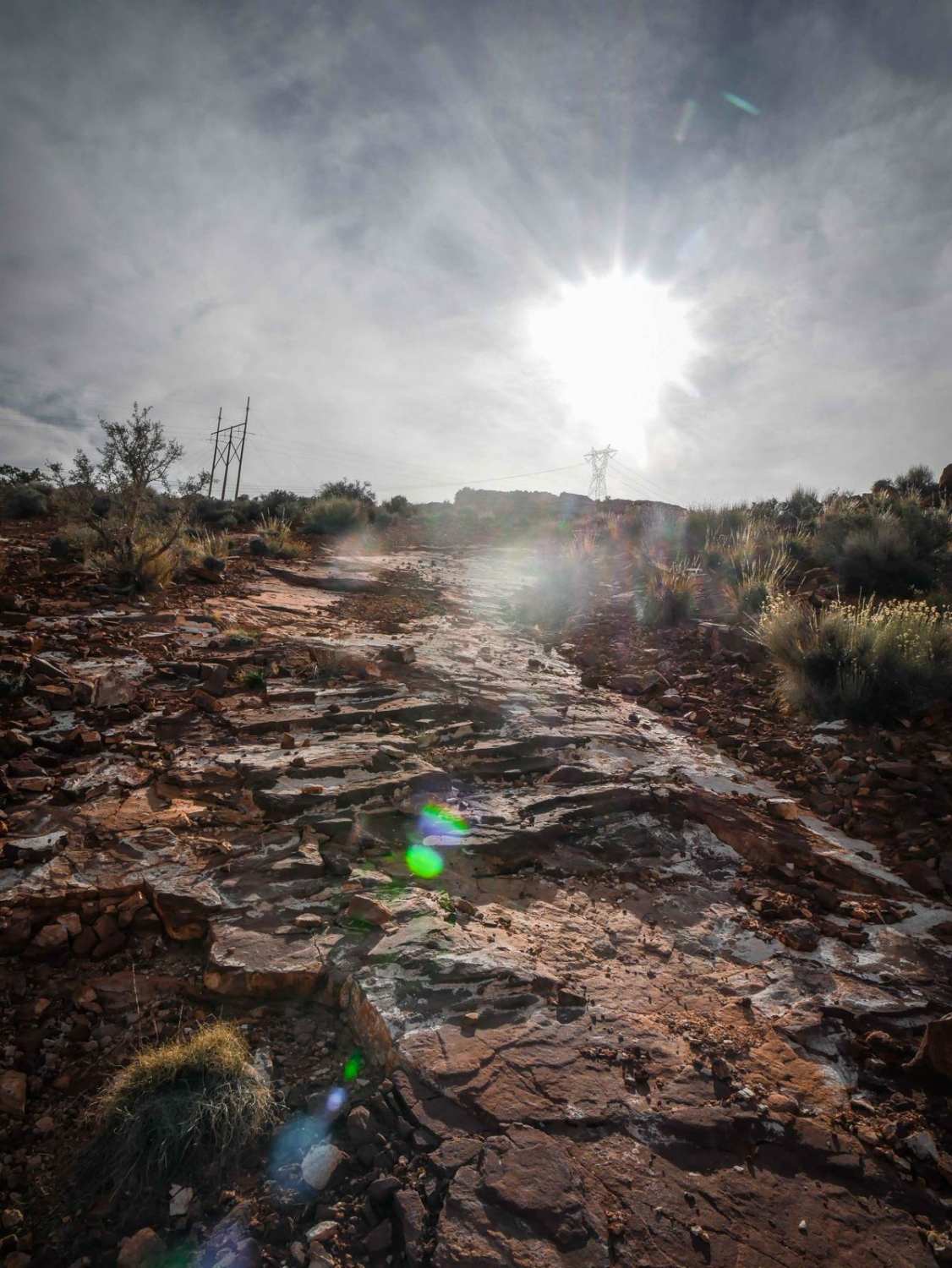
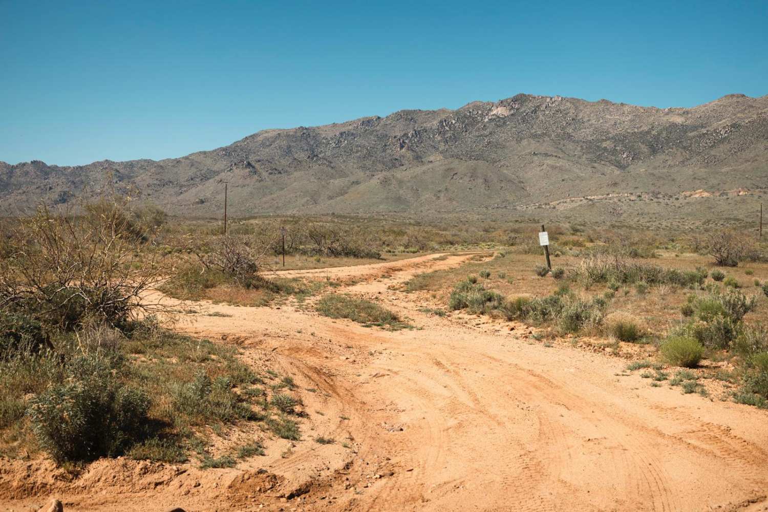
This is a 1.3-mile trail that follows a powerline and brings you up to a high-up incredible view of the Vermillion Cliffs. This one is a bit more technical because it has sections of deep sand, shelfy sections of trail with more exposure, and a few climbs that are loose and steep. It starts on the east end as a sandy and windy track meandering the mesas. It goes under the powerlines on a shelf above a ravine. Then it climbs up a sandy hill climb to keep following the powerlines. It continues as a sandy, less-trafficked track under the powerlines and gets narrow between the bushes. There's a steep loose downhill into a wash crossing, then it cuts across the next hillside up a pretty steep hill climb with slab rock and loose rock. It's rutted and choppy, with more dirt and rock instead of sand. After climbing the steepest section at the end, it has a really epic view of the surrounding pink cliffs. It dead-ends here. Although it looks on the map like it might connect over the hill to the dirt road 1429, it does not connect.
Photos of Powerline View
Difficulty
This is an intermediate road due to steep loose climbs and deeper sand.
Status Reports
Popular Trails

Wheeler Wagon Trail West

Copper Basin Wash

Bull Pen Road
The onX Offroad Difference
onX Offroad combines trail photos, descriptions, difficulty ratings, width restrictions, seasonality, and more in a user-friendly interface. Available on all devices, with offline access and full compatibility with CarPlay and Android Auto. Discover what you’re missing today!


