The Uphill
Total Miles
1.9
Technical Rating
Best Time
Spring, Summer, Fall
Trail Type
Full-Width Road
Accessible By
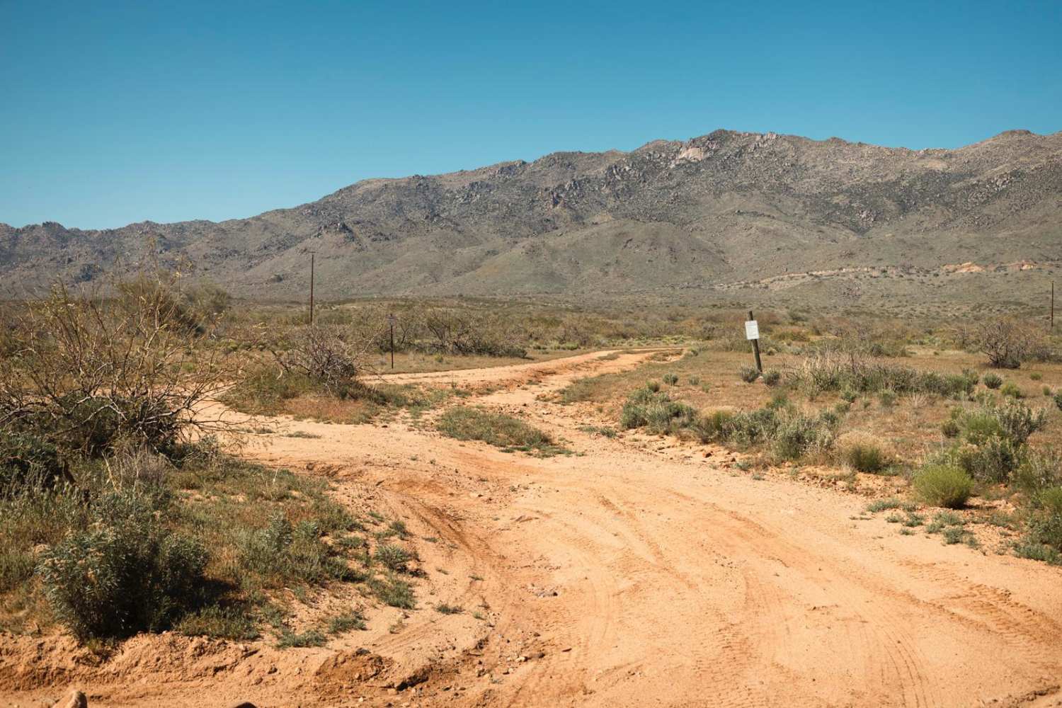
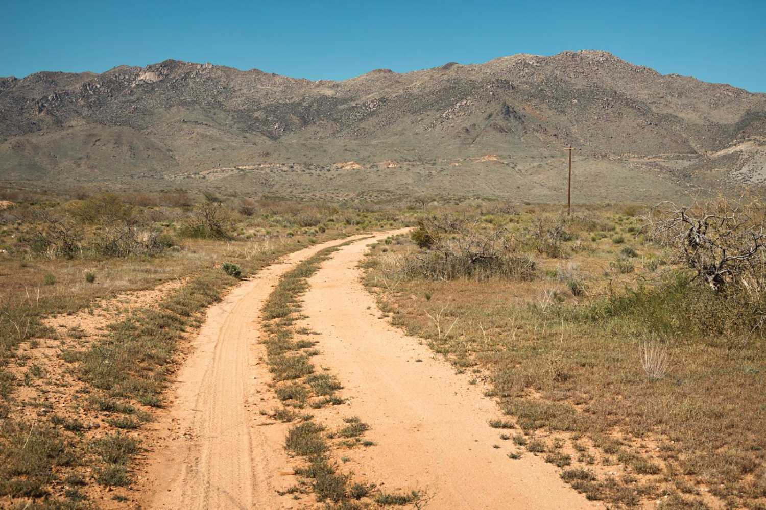
Trail Overview
The Uphill is a rough trail filled with spots of erosion. This area is riddled with mines. Evidence of scraped earth and rock piles are present, as well as signage. Some of the erosion crossings are deep with off-camber entrances and exits. There are points on this trail that are narrow. Many types of cacti are visible along this trail, and it is fully exposed to the south. The trail tends to get more rough as you head north toward the mountains. The trail peters out into an area reclaimed by nature, thus Tread Lightly principles are imperative. This is Arizona State Trust Land which requires a yearly permit that can be purchased and printed online. The permit allows certain recreational activities, including camping, bicycling, bird watching, GPS-based recreational activities (geocaching), hiking, horseback riding, off-highway vehicle (OHV) usage, photography, picnicking, and sightseeing.
Photos of The Uphill
Difficulty
This is an unmaintained mining road that is rough, with areas of off-camber erosion and runoff damage. The trail gets rockier as you head north toward the mountains.
Status Reports

Popular Trails

Epic, Interrupted
Stone Cabin to Jacobs Well (Black Rock Road 1004)

South Spur Loop to Oatman
Camp Mojave to Linda Mine
The onX Offroad Difference
onX Offroad combines trail photos, descriptions, difficulty ratings, width restrictions, seasonality, and more in a user-friendly interface. Available on all devices, with offline access and full compatibility with CarPlay and Android Auto. Discover what you’re missing today!