Tortolita Powerline Trail
Total Miles
10.0
Technical Rating
Best Time
Spring, Summer, Fall, Winter
Trail Type
Full-Width Road
Accessible By
Trail Overview
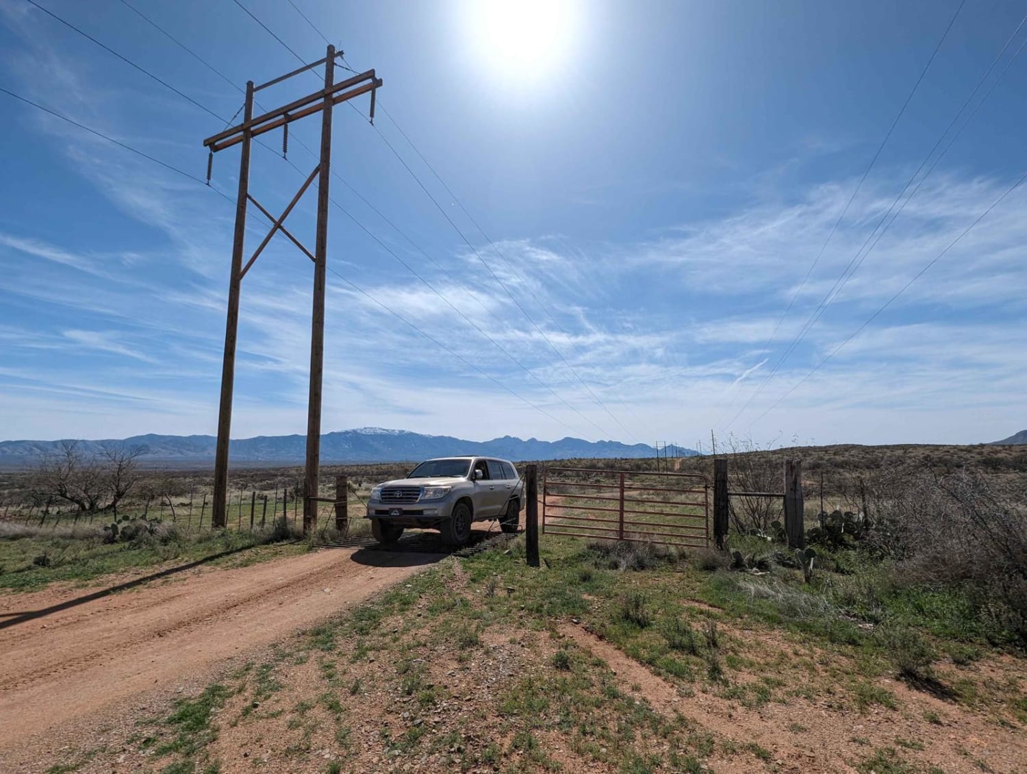
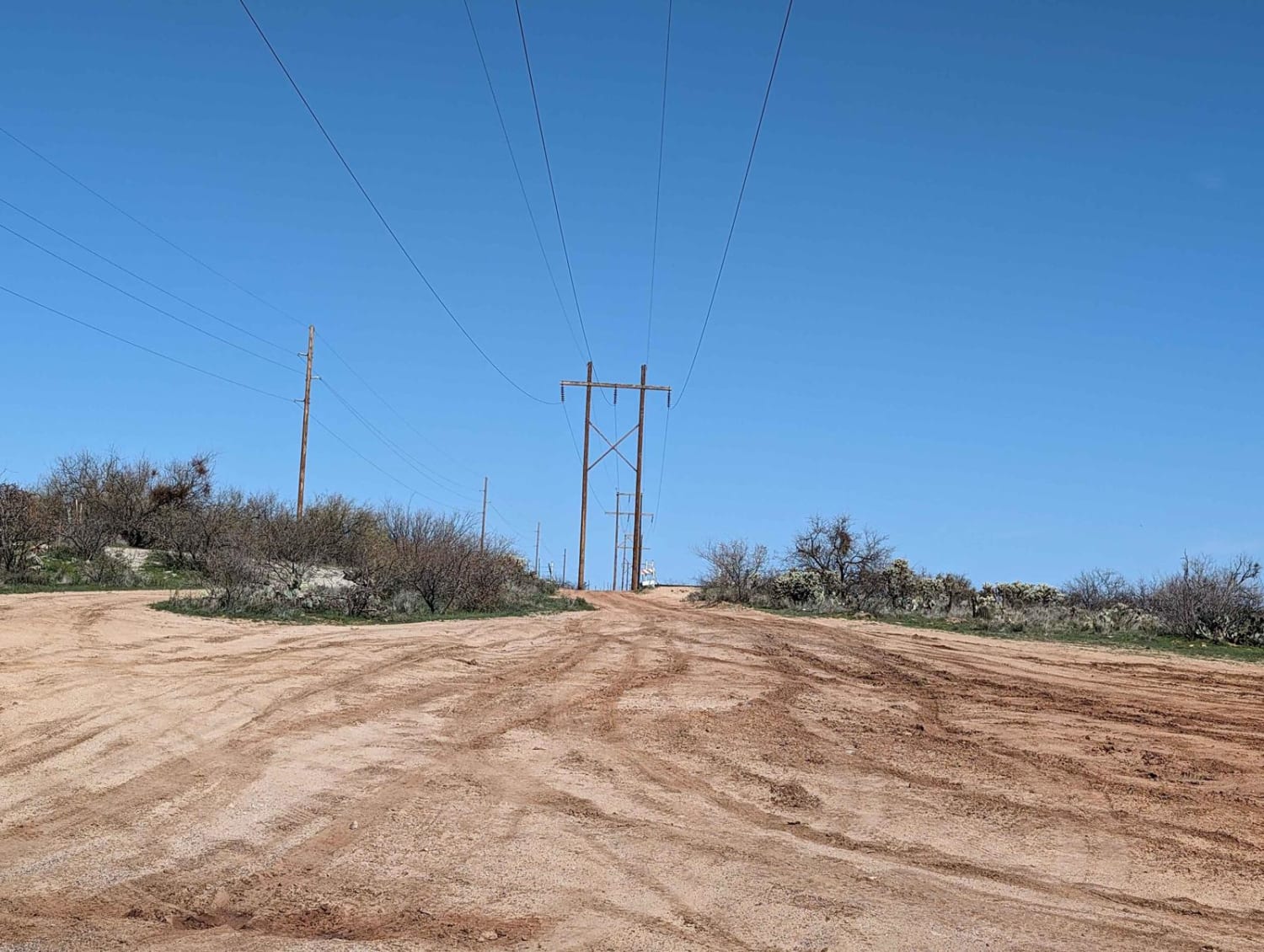
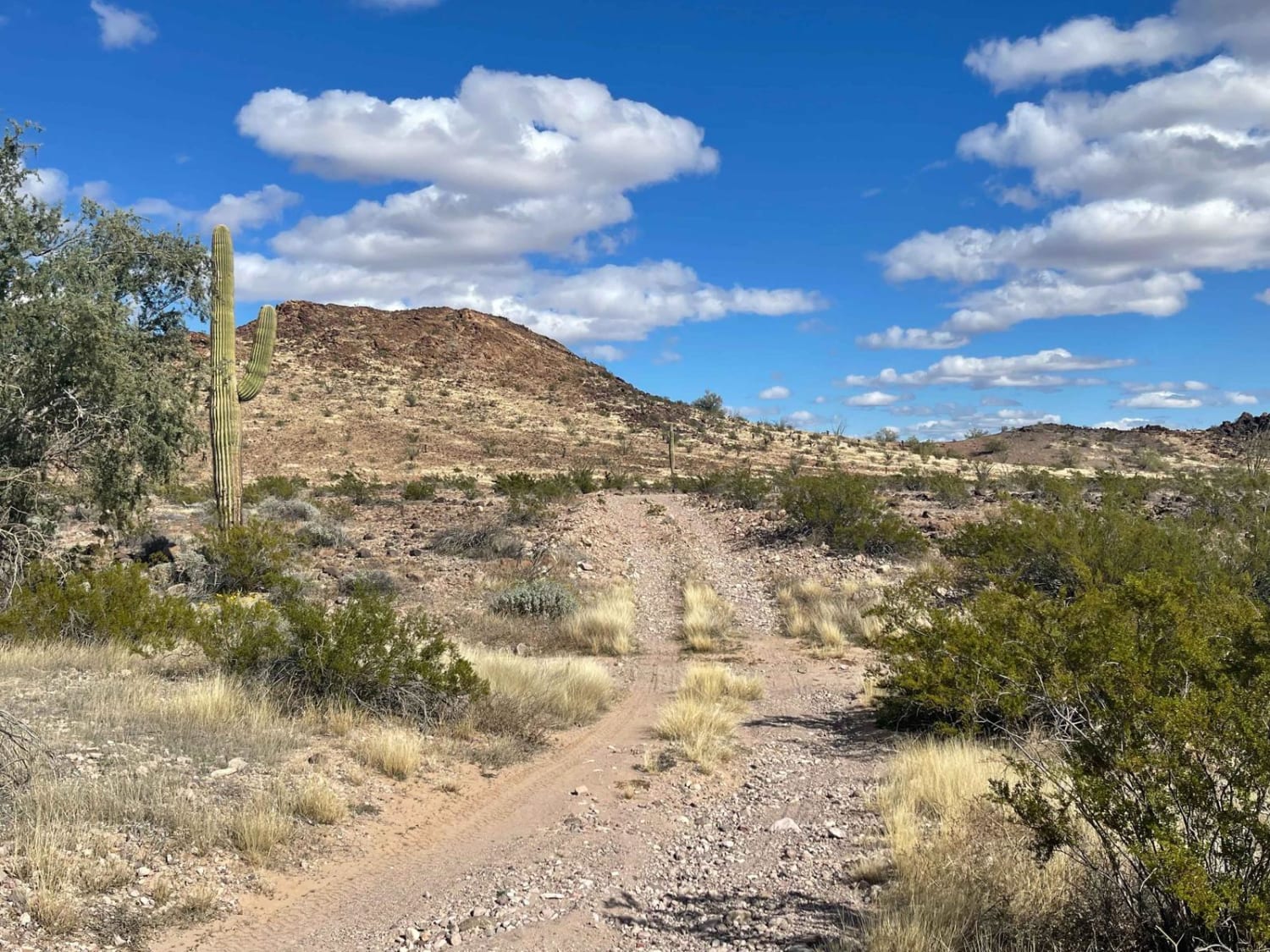
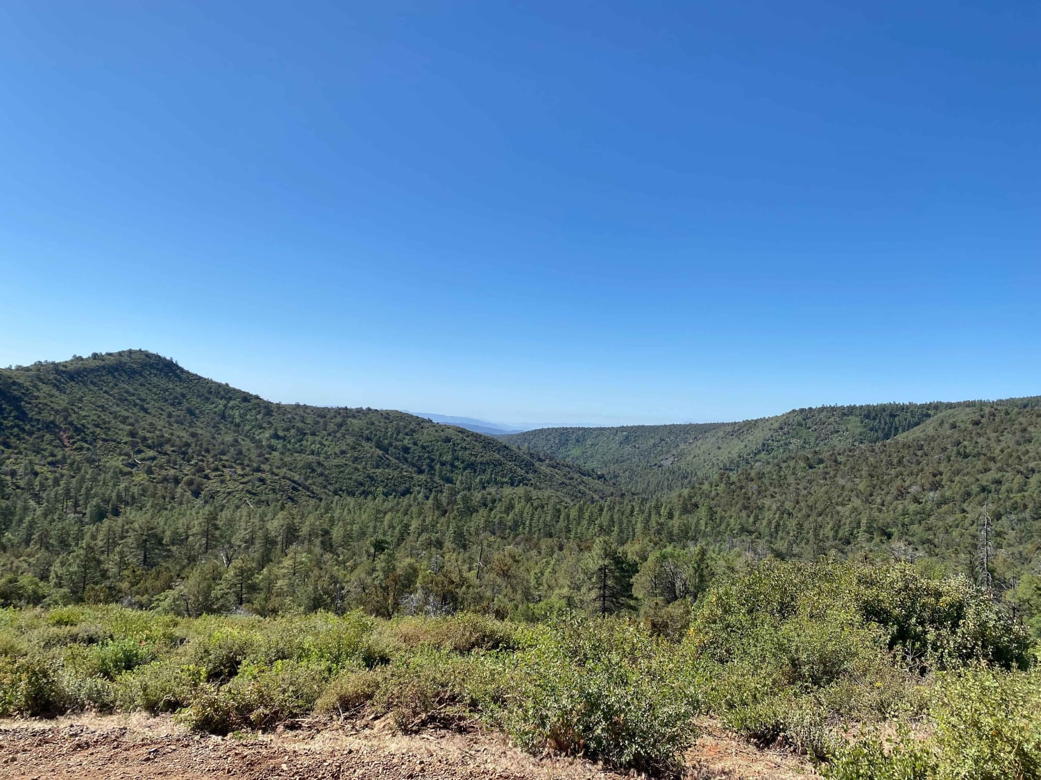
You can start this trail from the north at Highway 79 or south at East Edwin Road. The trail follows a small powerline and cuts through several washes. Be careful in monsoon season or while raining. You pass several corrals and go through a couple of BLM grazing gates. The only hazards are cacti, tree pinstriping, and some mud holes after rains. (Please leave gates as you found them, no target shooting, and an Arizona State Trust Land Permit is required.)
Photos of Tortolita Powerline Trail
Difficulty
Mud holes and deep ruts can be present after heavy rains. Be careful in washes. The sand washes are relatively firm, but heavy vehicles may need to air down.
Status Reports
Tortolita Powerline Trail can be accessed by the following ride types:
- High-Clearance 4x4
- SUV
- SxS (60")
- ATV (50")
- Dirt Bike
Tortolita Powerline Trail Map
Popular Trails

High Voltage Hijinks
Strawberry to Pine
The onX Offroad Difference
onX Offroad combines trail photos, descriptions, difficulty ratings, width restrictions, seasonality, and more in a user-friendly interface. Available on all devices, with offline access and full compatibility with CarPlay and Android Auto. Discover what you’re missing today!
