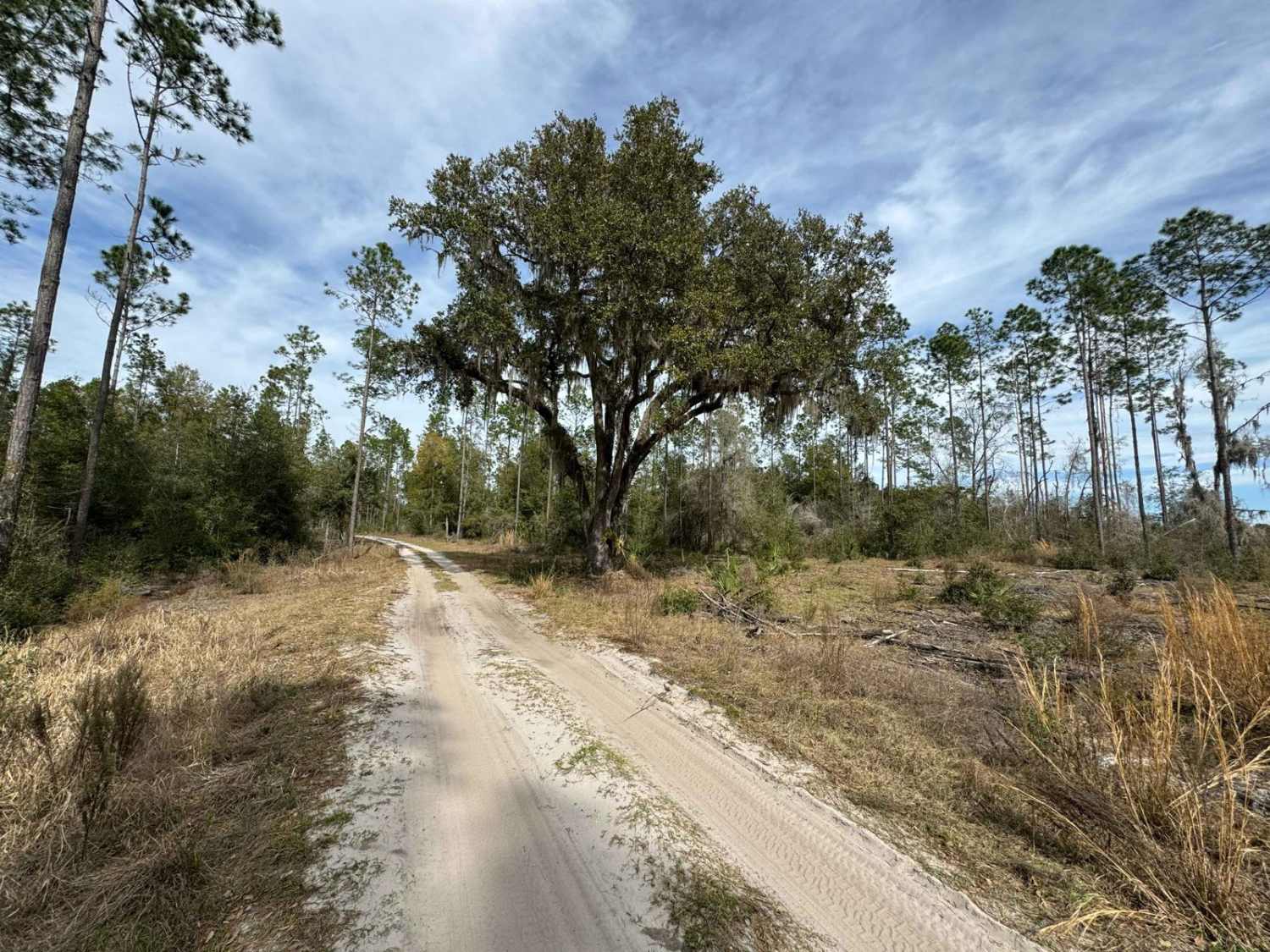
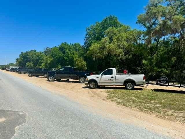
Off-Road Trails in Florida

topo background

Discover off-road trails in Florida

Trail Length
Technical Rating
Best Time of Year
Sort By
We can’t find any trails
Learn more about Lake Eaton Trail - ONF 5
Lake Eaton Trail - ONF 5

Lake Eaton Trail - ONF 5

The Lake Eaton Trail, also known as Ocala National Forest Road 5, connects Lake Eaton at the north end and Tread Lightly Four Wheel Drive Way at the south end in the north part of…
Learn more about Lake Eaton Trail - ONF 5
Total Miles
8.2
Tech Rating
2 Easy
Best Time
Spring, Fall, Winter
Learn more about Lake Goodwin Road
Lake Goodwin Road

Lake Goodwin Road

This is a scenic ride through the Arbuckle Wildlife Management Area. The trail is accessed of the north end of School Bus Road within the Arbuckle Wildlife Management Area northeast of Avon Park. School Bus…
Learn more about Lake Goodwin Road
Total Miles
0.9
Tech Rating
2 Easy
Best Time
Spring, Summer, Fall, Winter
Learn more about Lam Horse Trail - ONF 22-0.3A
Lam Horse Trail - ONF 22-0.3A

Lam Horse Trail - ONF 22-0.3A

The Lam Horse Trail, also known as Ocala National Forest Road 22-0.3A, connects High Tension Road at the west end and Green Bear Hole / Lam Horse Trail at the east end in the south…
Learn more about Lam Horse Trail - ONF 22-0.3A
Total Miles
2.7
Tech Rating
3 Easy
Best Time
Spring, Fall, Winter
Learn more about Laughlin & Interceptor Trail
Laughlin & Interceptor Trail

Laughlin & Interceptor Trail

The Laughlin & Interceptor Trail is a side spur of the Lake Apopka Wildlife Drive, a one-way, 11-mile trail that begins at Lust Road in Apopka. The dive entrance gate is open and allows access…
Learn more about Laughlin & Interceptor Trail
Total Miles
2.5
Tech Rating
1 Easy
Best Time
Spring, Fall, Winter
Learn more about Little Shoals Trail
Little Shoals Trail

Little Shoals Trail

Little Shoals Trail takes you from US-41 to the Florida hiking trail Little Shoals in the Big Shoals State Park. The road conditions are a mixture of packed sand, loose sand, and some deep holes…
Learn more about Little Shoals Trail
Total Miles
1.3
Tech Rating
4 Moderate
Best Time
Spring, Fall, Winter
Learn more about Little Tokyo - ONF 37
Little Tokyo - ONF 37

Little Tokyo - ONF 37

The Little Tokyo Trail, also known as Ocala National Forest Road 37, connects Highway 40 at the north end and Old Astor Park Road at the south end in the south part of the Ocala…
Learn more about Little Tokyo - ONF 37
Total Miles
2.5
Tech Rating
4 Moderate
Best Time
Spring, Fall, Winter
Learn more about Lochloosa WCA Connector
Lochloosa WCA Connector

Lochloosa WCA Connector

This is an easier alternative to the main Lochloosa WCA trail and is typically drier with fewer mud holes and water crossings than the main trail. Note that this trail is only open to street-legal…
Learn more about Lochloosa WCA Connector
Total Miles
1.9
Tech Rating
2 Easy
Best Time
Spring, Summer, Fall, Winter
Learn more about Lochloosa WCA North
Lochloosa WCA North

Lochloosa WCA North

This route is an easier alternative to the main Lochloosa WCA Trail. Note that this trail is only accessible to street-legal licensed vehicles. This trail is mainly hard-packed gravel with some sections of sand, but…
Learn more about Lochloosa WCA North
Total Miles
2.1
Tech Rating
2 Easy
Best Time
Spring, Summer, Fall, Winter
Learn more about Lochloosa Wildlife Conservation Area Trail
Lochloosa Wildlife Conservation Area Trail

Lochloosa Wildlife Conservation Area Trail

Lochloosa Wildlife Conservation Area Trail is a 4 mile trail through the Northwest portion of Lochloosa Wildlife Conservation Area. The trail is predominantly made of packed sand with a few small sections of loose sand.…
Learn more about Lochloosa Wildlife Conservation Area Trail
Total Miles
3.5
Tech Rating
2 Easy
Best Time
Spring, Summer, Fall, Winter
Learn more about Lochloosa WMA North Trail
Lochloosa WMA North Trail

Lochloosa WMA North Trail

Lochloosa WMA North Trail takes you through the Lochloosa Water Management Area. The trail connects the Lochloosa WMA West Loop with US-301. The road conditions are a mixture of packed sand, loose sand, and some…
Learn more about Lochloosa WMA North Trail
Total Miles
2.3
Tech Rating
3 Easy
Best Time
Spring, Fall, Winter
Learn more about Lochloosa WMA South Trail
Lochloosa WMA South Trail

Lochloosa WMA South Trail

Lochloosa WMA South Trail connects CR-325 and the Burnt Island Trail. It allows you access to the Lochloosa Water Management Area with plenty of trails that are only accessible during hunting season. The Lochloosa WMA…
Learn more about Lochloosa WMA South Trail
Total Miles
1.7
Tech Rating
1 Easy
Best Time
Spring, Fall, Winter
Learn more about Lochloosa WMA West Loop
Lochloosa WMA West Loop

Lochloosa WMA West Loop

Lochloosa WMA West Loop travels through the Lochloosa Wildlife Conservation Area. The trail starts and ends at the Fish Camp Road. The road conditions are a mixture of packed sand, loose sand, and some deep…
Learn more about Lochloosa WMA West Loop
Total Miles
7.3
Tech Rating
3 Easy
Best Time
Spring, Fall, Winter
Learn more about Longleaf Trail
Longleaf Trail

Longleaf Trail

The Longleaf Trail, located in the heart of the Ocala National Forest, offers 25 miles of exhilarating off-road experience for all riders. Beginning at the Rodman OHV Trailhead and extending southward, this trail promises adventure…
Learn more about Longleaf Trail
Total Miles
24.2
Tech Rating
4 Moderate
Best Time
Spring, Summer, Fall, Winter
Learn more about Loop Road - CR 94
Loop Road - CR 94

Loop Road - CR 94

Loop Road, also known as County Road 94, is the most beautiful dirt road you can drive in the area without pulling a permit. The trail starts and ends at US 41 in the southern…
Learn more about Loop Road - CR 94
Total Miles
15.5
Tech Rating
3 Easy
Best Time
Spring, Fall, Winter
Learn more about Lynch Boulevard
Lynch Boulevard

Lynch Boulevard

The Lynch Boulevard, also known as 128th Ave SE, is a west to east trail that takes you all the way to the east boundary of the Picayune Strand State Forest. Picayune Strand State Forest…
Learn more about Lynch Boulevard
Total Miles
4.8
Tech Rating
7 Difficult
Best Time
Winter
Learn more about Merritt Boulevard North
Merritt Boulevard North

Merritt Boulevard North

The Merritt Boulevard North is a north to south trail that takes you from Berson Boulevard at the north end to Ironhorse at the south end in the northeast area of the Picayune Strand State…
Learn more about Merritt Boulevard North
Total Miles
4.1
Tech Rating
7 Difficult
Best Time
Winter
Learn more about Merritt Boulevard South
Merritt Boulevard South

Merritt Boulevard South

The Merritt Boulevard South is a north to south trail that takes you from 96th Avenue Southeast at the north end to the south end of the Picayune Strand State Forest. Picayune Strand State Forest…
Learn more about Merritt Boulevard South
Total Miles
4.7
Tech Rating
6 Moderate
Best Time
Winter
Learn more about Miller Boulevard
Miller Boulevard

Miller Boulevard

The Miller Boulevard is a north to south trail, parallel to the Everglades Boulevard in the Picayune Strand State Forest. Picayune Strand State Forest is in the heart of the Big Cypress Basin. The majority…
Learn more about Miller Boulevard
Total Miles
9.7
Tech Rating
3 Easy
Best Time
Spring, Fall, Winter
Learn more about Mosquito Bay North
Mosquito Bay North

Mosquito Bay North

Mosquito Bay North Trail takes you through the Lochloosa Water Management Area. The trail connects Fish Camp Road North with Fish Camp Road Connector and allows access to the Mosquito Bay Pond. The road conditions…
Learn more about Mosquito Bay North
Total Miles
1.8
Tech Rating
4 Moderate
Best Time
Spring, Fall, Winter
Learn more about Mustang Loop
Mustang Loop

Mustang Loop

The trail leads through the Okaloacoochee Slough State Forest, where there are a variety of pine/oak Hammocks and wetland/marsh areas. The trail is single vehicle wide in most areas, expect some minor or light pin…
Learn more about Mustang Loop
Total Miles
5.7
Tech Rating
4 Moderate
Best Time
Spring, Winter
1 ... 3 4 5 6 7 8 9 10 11 12

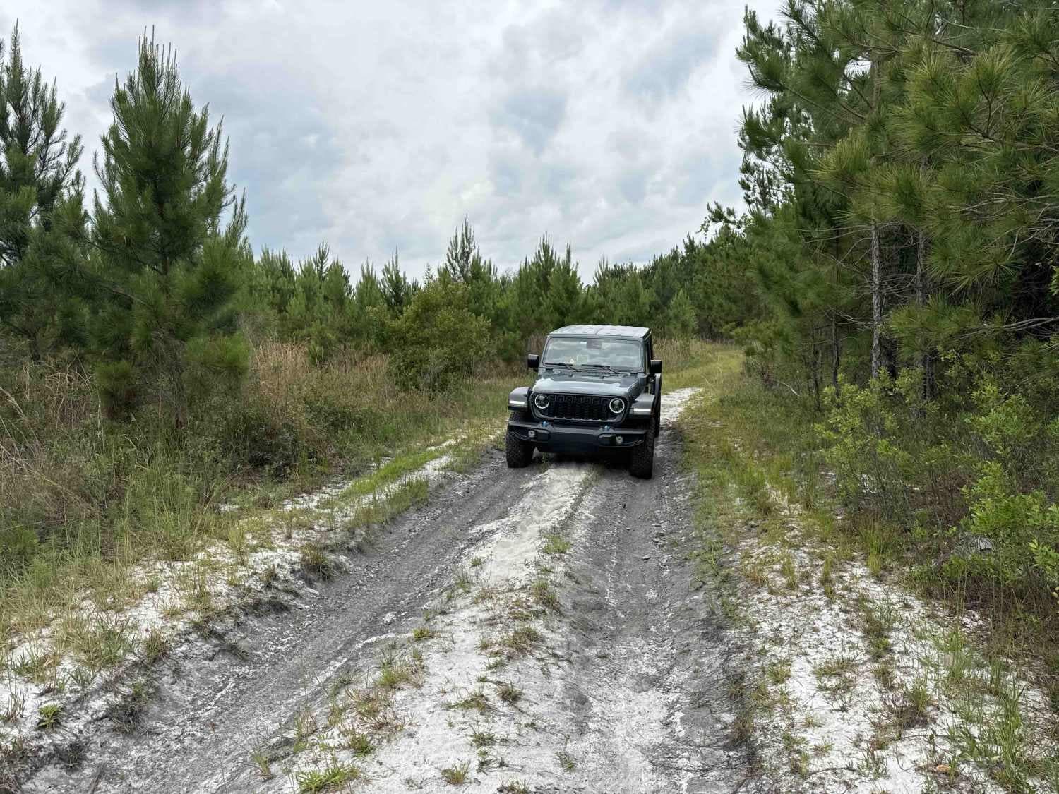
The onX Offroad Difference

onX Offroad combines trail photos, descriptions, difficulty ratings, width restrictions, seasonality, and more in a user-friendly interface. Available on all devices, with offline access and full compatibility with CarPlay and Android Auto. Discover what you’re missing today!