Off-Road Trails in South Dakota

Discover off-road trails in South Dakota

Learn more about Moses Hill
Moses Hill

Moses Hill

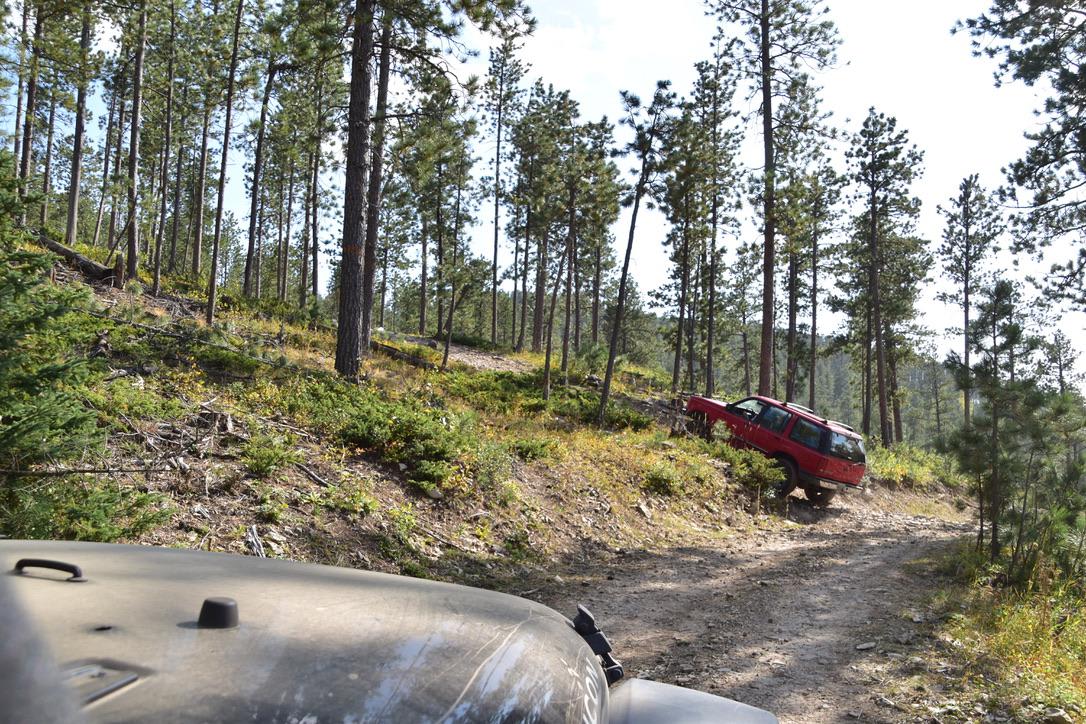
Moses Hill is a scenic point-to-point trail in the Black Hills of South Dakota. It is named for a very steep portion that gets you to the top of the mountain, which is tree covered,…
Learn more about Moses Hill
Total Miles
4.3
Tech Rating
3 Moderate
Best Time
Spring, Summer, Fall
Learn more about Mud Springs Road
Mud Springs Road

Mud Springs Road

Mud Springs Road is a scenic route that runs North/South from Custer Limestone road to US Highway 16 just West of Jewel Cave National Monument. This does take you through cattle grazing areas so expect…
Learn more about Mud Springs Road
Total Miles
8.8
Tech Rating
2 Easy
Best Time
Fall, Summer, Spring
Learn more about Nemo 8257
Nemo 8257

Nemo 8257

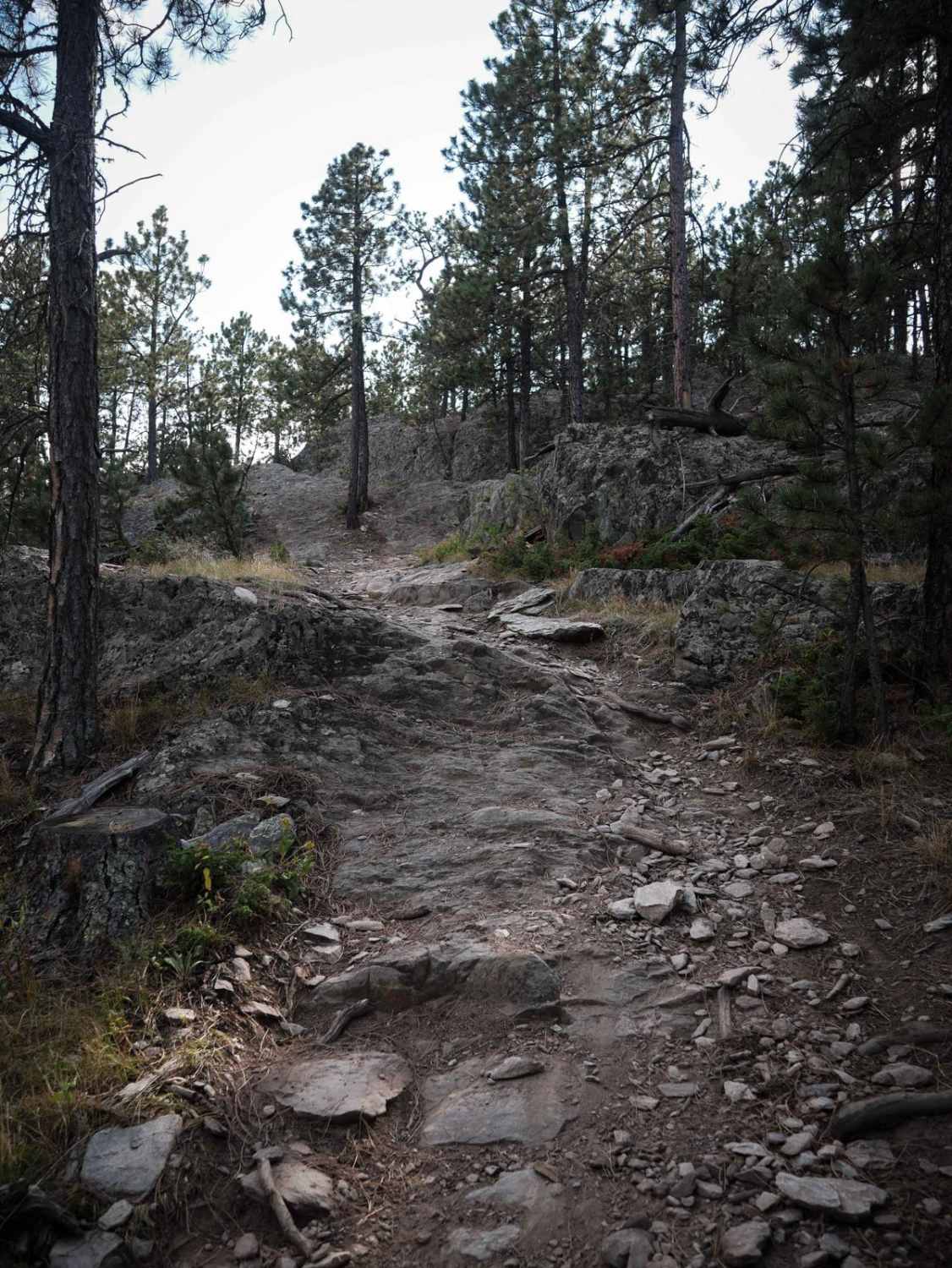
8257 is an intermediate single track in the Black Hills that starts at a pinch point off a dirt road, south of the town of Nemo, South Dakota. Going east to west, it gains 750…
Learn more about Nemo 8257
Total Miles
1.8
Tech Rating
4 Moderate
Best Time
Summer, Fall, Spring
Learn more about Nemo 8550
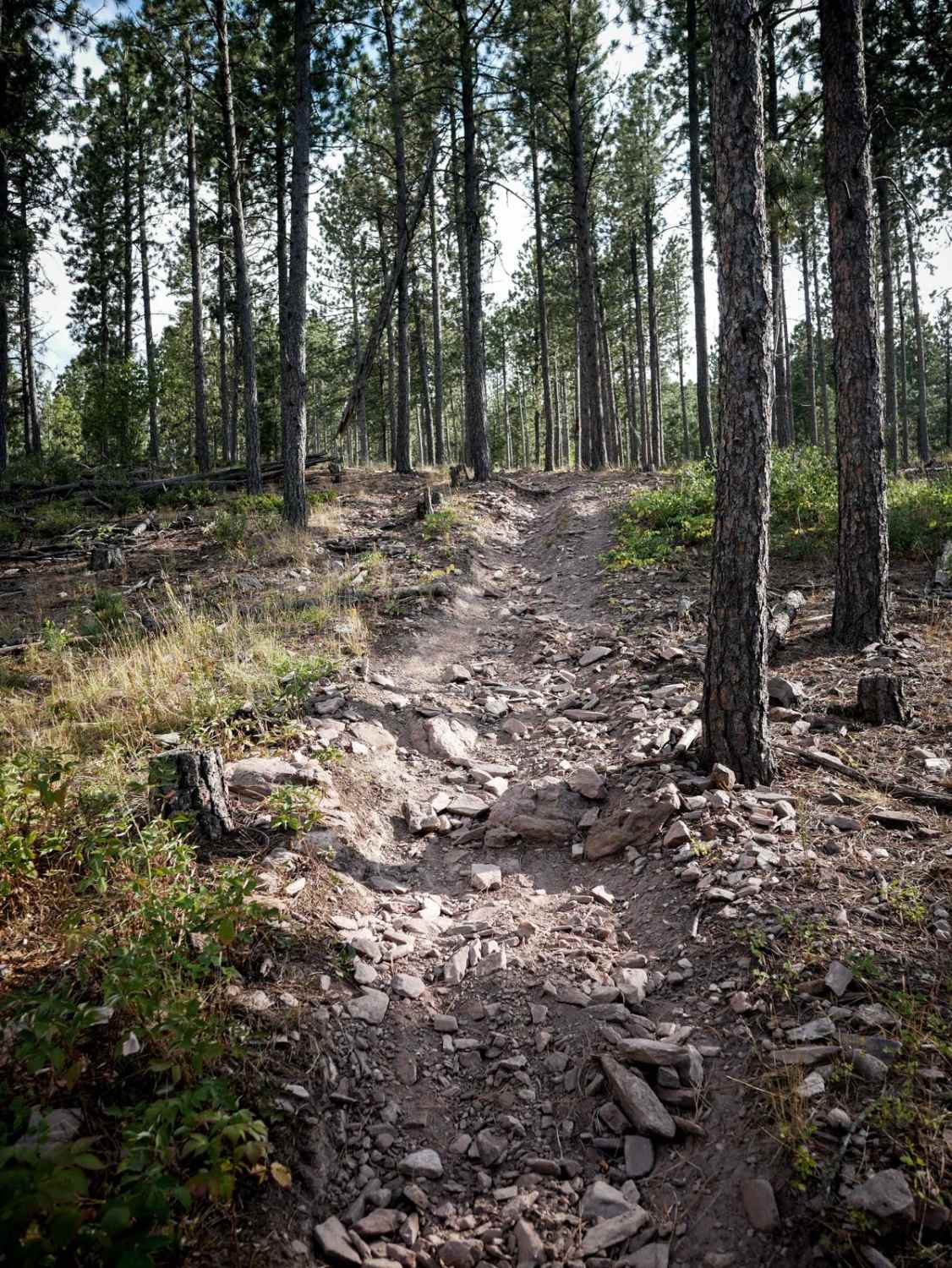
Nemo 8550

Nemo 8550

This is a short single track in the Black Hills that is part of the Bogus Trail System. The trail goes through a pine forest, full of loose pieces of rock littering the trail. The…
Learn more about Nemo 8550
Total Miles
0.9
Tech Rating
3 Easy
Best Time
Summer, Fall, Spring
Learn more about Piedmont To Nemo Trail
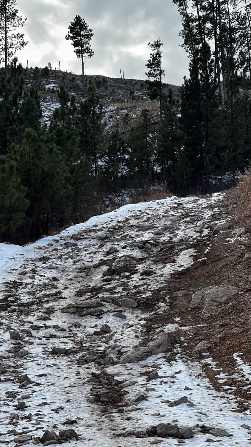
Piedmont To Nemo Trail

Piedmont To Nemo Trail

As you travel through this trail, you are instantly surrounded by the Black Hills National Forest. The route is compromised of rocky terrain along with some uphill travel with views of the nearby town of…
Learn more about Piedmont To Nemo Trail
Total Miles
1.4
Tech Rating
3 Easy
Best Time
Fall, Summer
Learn more about Pony Gulch, Divide, & Bloody Gulch (FS 184.1)
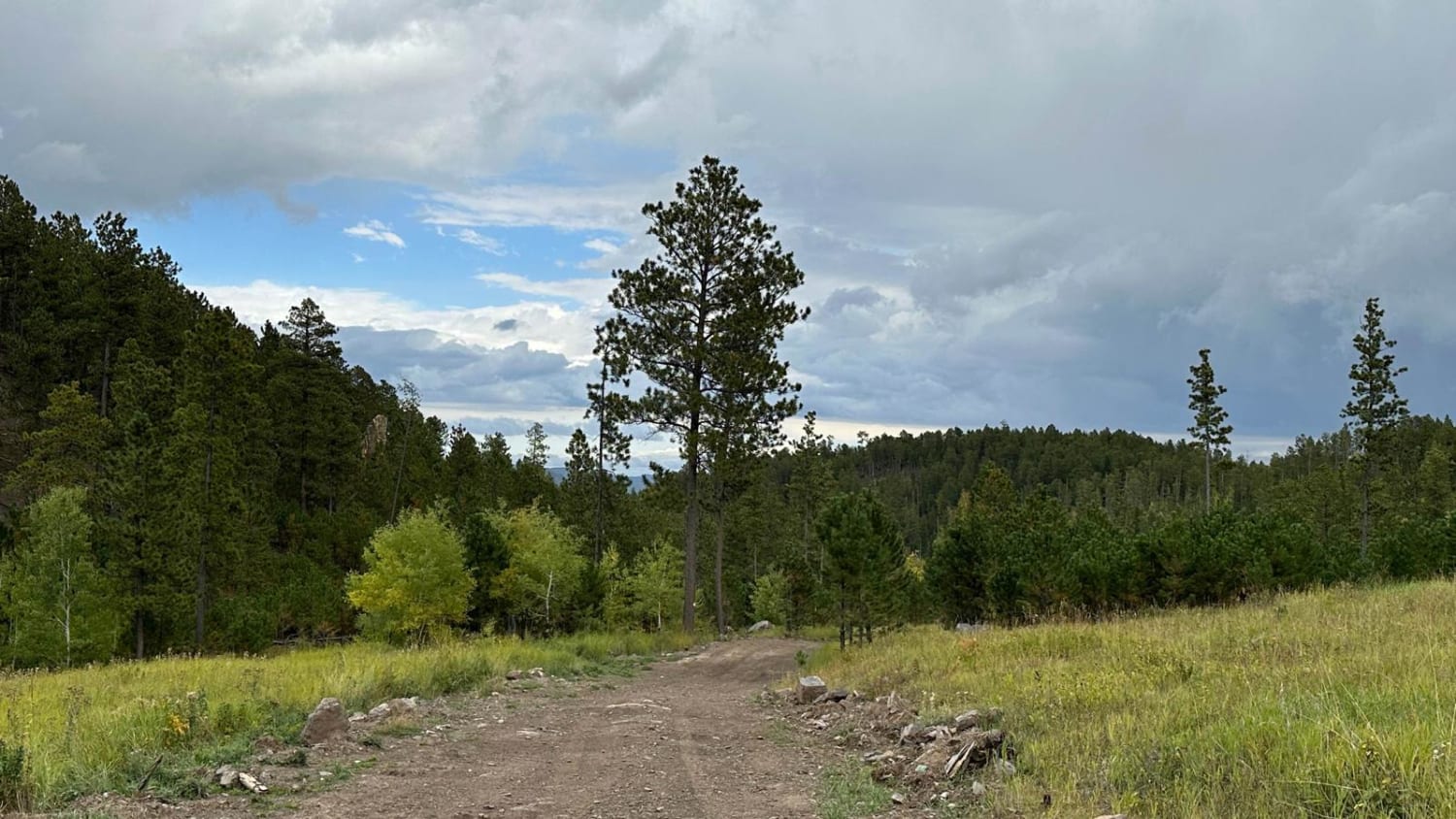
Pony Gulch, Divide, & Bloody Gulch (FS 184.1)

Pony Gulch, Divide, & Bloody Gulch (FS 184.1)

This route is a more scenic route to go between the towns of Mystic/Rochford than traveling on Mystic Road and Rochford Road. The route is not a maintained road like Mystic/Rochford Road. Part of the…
Learn more about Pony Gulch, Divide, & Bloody Gulch (FS 184.1)
Total Miles
6.7
Tech Rating
3 Easy
Best Time
Summer, Fall, Spring
Learn more about Raspberry 8501
Raspberry 8501

Raspberry 8501

This 3.5-mile-long single track through the Black Hills is a challenging route full of technical loose climbs, technical rock pinches, and rock ledges. There are lots of really steep hill climbs and descents. It's constantly…
Learn more about Raspberry 8501
Total Miles
2.9
Tech Rating
6 Moderate
Best Time
Summer, Fall, Spring
Learn more about Raspberry Ridge
Raspberry Ridge

Raspberry Ridge

Connecting to the "Cheerios" Bypass Raspberry Ridge is a narrow semi-rocky trail best enjoyed by those with high clearance vehicles. Steep and narrow descents and ascents are full of rocks and boulders making the trail…
Learn more about Raspberry Ridge
Total Miles
2.0
Tech Rating
3 Easy
Best Time
Summer
Learn more about Roby Canyon(FS 264)
Roby Canyon(FS 264)

Roby Canyon(FS 264)

This is a rocky, two-track road easily passable by most smaller OHVs. Experienced 4x4 drivers will have fun, as there are a few steep grades and narrow spots that make it a challenge. This trail…
Learn more about Roby Canyon(FS 264)
Total Miles
5.3
Tech Rating
5 Moderate
Best Time
Spring, Summer, Fall
Learn more about Rocky Gulch
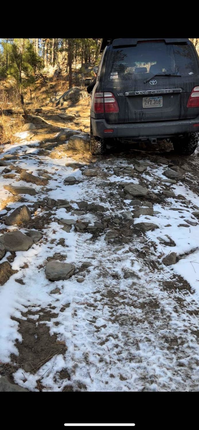
Rocky Gulch

Rocky Gulch

This trail is fun during all seasons of the year but is best enjoyed during the spring through fall months. During the winter months this rocky, and narrow trail can quickly become challenging to those…
Learn more about Rocky Gulch
Total Miles
4.7
Tech Rating
2 Easy
Best Time
Spring, Fall, Summer
Learn more about Sage Creek Conata West
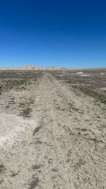
Sage Creek Conata West

Sage Creek Conata West

This is a fun two-track dirt trail that gives you a glimpse into the grasslands and Badlands most people don't get to experience. You may encounter lots of prairie dogs and large herds of antelope.…
Learn more about Sage Creek Conata West
Total Miles
13.0
Tech Rating
2 Easy
Best Time
Summer
Learn more about Sagecreek Rim Road
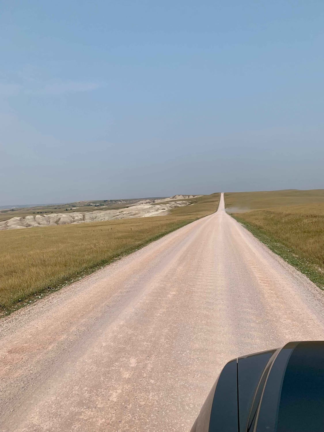
Sagecreek Rim Road

Sagecreek Rim Road

This trail or track is on the edge of the Badlands National Park. You can expect to see great views and a high potential for wildlife such as mountain goats. Several turnouts are available and…
Learn more about Sagecreek Rim Road
Total Miles
6.4
Tech Rating
1 Easy
Best Time
Fall, Summer, Spring
Learn more about Shanks 6606
Shanks 6606

Shanks 6606

This is a short single track through the Black Hills but has technical rocky sections that make it an intermediate trail. There are a few smooth sections through the forest, but the majority of the…
Learn more about Shanks 6606
Total Miles
1.2
Tech Rating
4 Moderate
Best Time
Summer, Fall, Spring
Learn more about Sheep Mountain Table Road
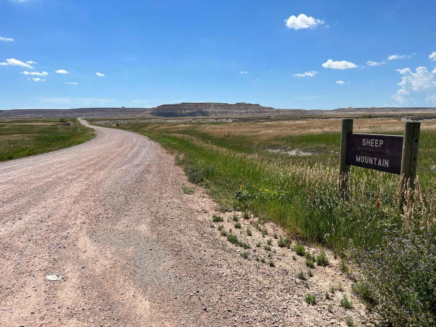
Sheep Mountain Table Road

Sheep Mountain Table Road

This an easy, scenic dirt road that leads to some really cool overlooks of the south portion of Badlands National Park. It has 2 distinct sections with the first part being accessible to all vehicles…
Learn more about Sheep Mountain Table Road
Total Miles
7.4
Tech Rating
2 Easy
Best Time
Spring, Summer, Fall
Learn more about Slate Creek Dam
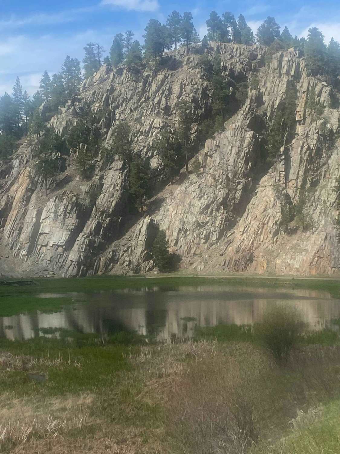
Slate Creek Dam

Slate Creek Dam

You will be traveling on Trail #530 which runs from China Gulch Road (Trail #249) and Mystic Road. You can access the dam from either side since all of the trails here are two-way. Coming…
Learn more about Slate Creek Dam
Total Miles
6.7
Tech Rating
2 Easy
Best Time
Spring, Summer, Fall
Learn more about Song Dog Road
Song Dog Road

Song Dog Road

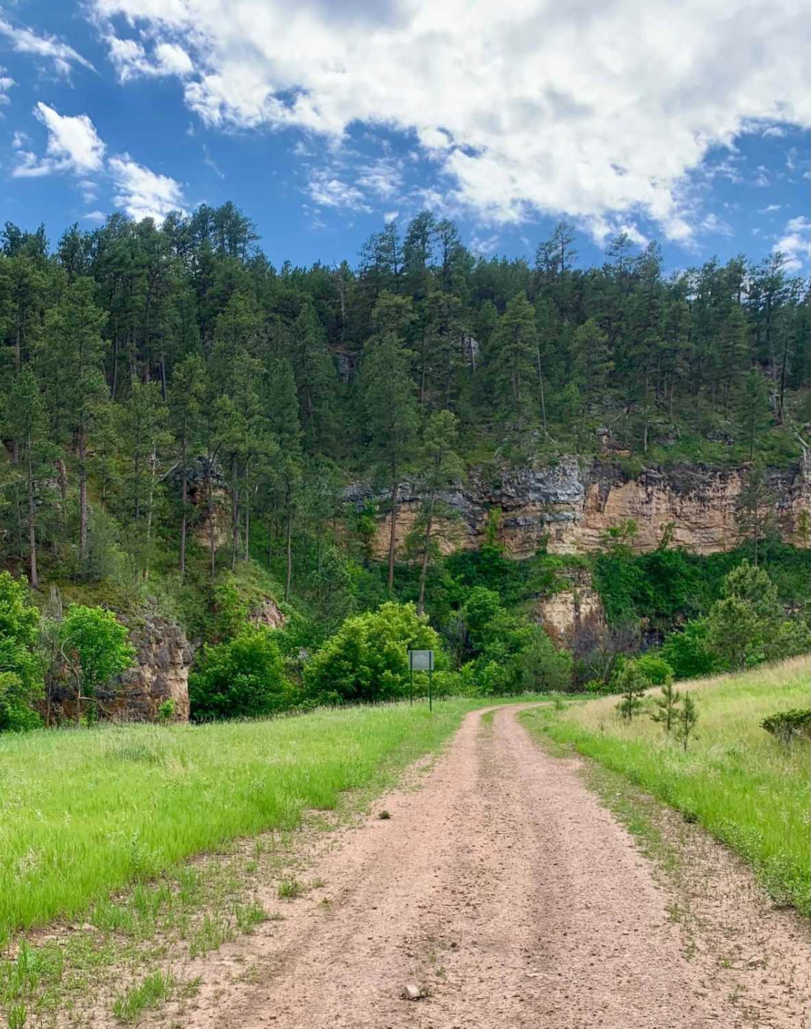
Starting from the south end of the trail on Argyle Rd, the trail begins in a lightly treed pine forest and follows a natural dirt and limestone path that is mostly packed and single-car width…
Learn more about Song Dog Road
Total Miles
12.3
Tech Rating
2 Easy
Best Time
Spring, Summer, Fall
Learn more about South Boxelder Creek Overpass
South Boxelder Creek Overpass

South Boxelder Creek Overpass

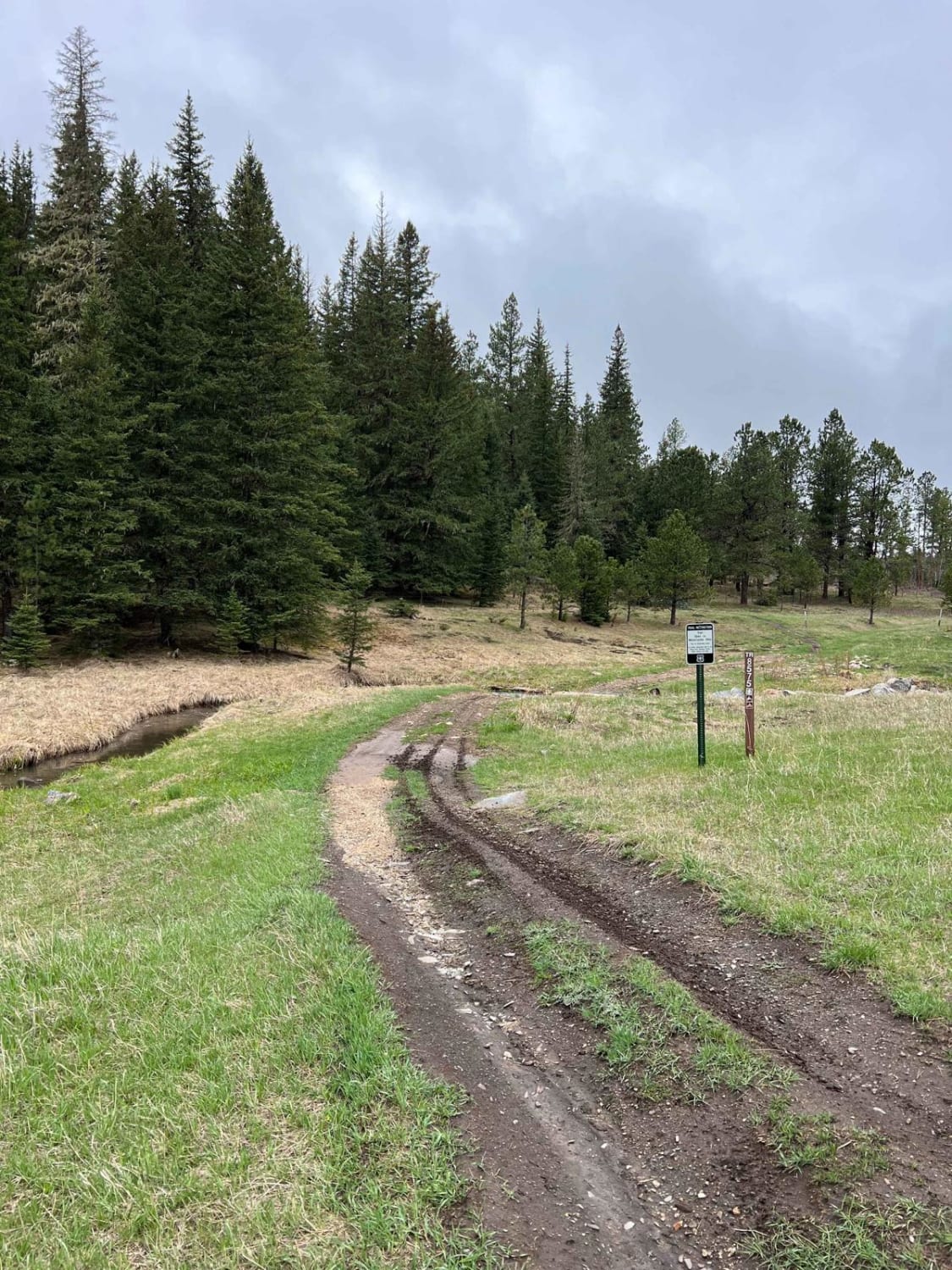
This dirt bike only trail features some excellent views of water, bluffs, and forests. The trail has a small water crossing at the beginning or end depending on where you enter. Following the water crossing,…
Learn more about South Boxelder Creek Overpass
Total Miles
3.4
Tech Rating
4 Moderate
Best Time
Spring, Summer, Fall
Learn more about Spaw Gulch - FSR#606
Spaw Gulch - FSR#606

Spaw Gulch - FSR#606

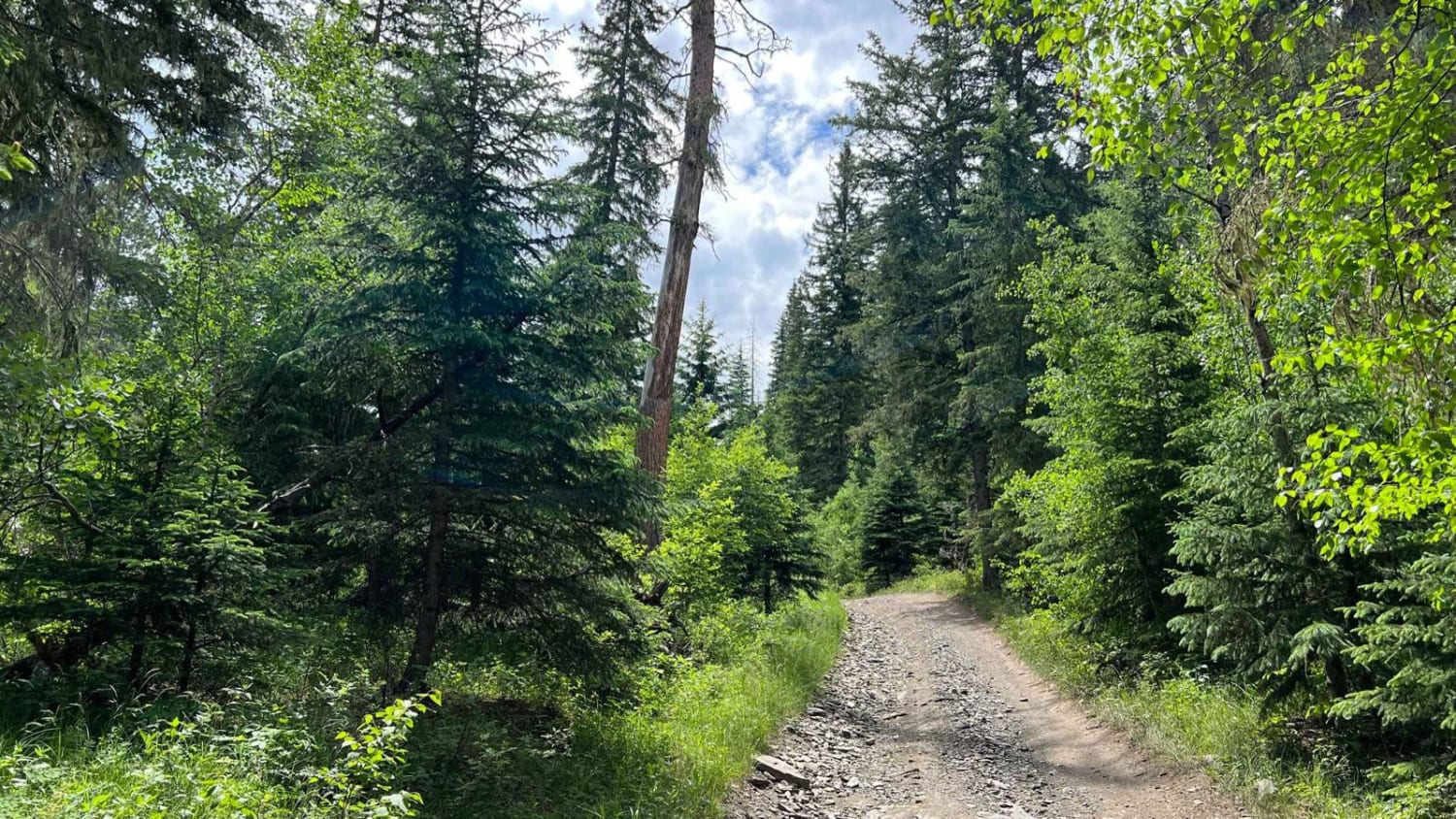
This road is an easy 4.6-mile one-way road that leads to a popular Black Hill spot, Flannigan's Cabin, aka Miner's Hotel. The road traverses through various terrain and is wider on the south end and…
Learn more about Spaw Gulch - FSR#606
Total Miles
4.6
Tech Rating
2 Easy
Best Time
Spring, Summer, Fall
Learn more about Spearfish Mountain
Spearfish Mountain

Spearfish Mountain

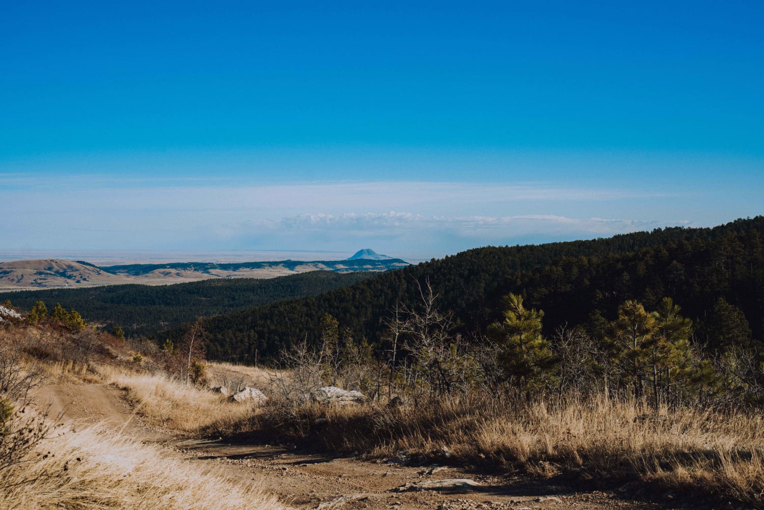
Spearfish Mountain is one of the three peaks that make up the mountains surrounding Spearfish. It is the only one accessible by off road vehicles. A short drive down Christensen Drive will lead you to…
Learn more about Spearfish Mountain
Total Miles
5.1
Tech Rating
3 Easy
Best Time
Spring, Summer, Fall
Learn more about Spring Draw Rd
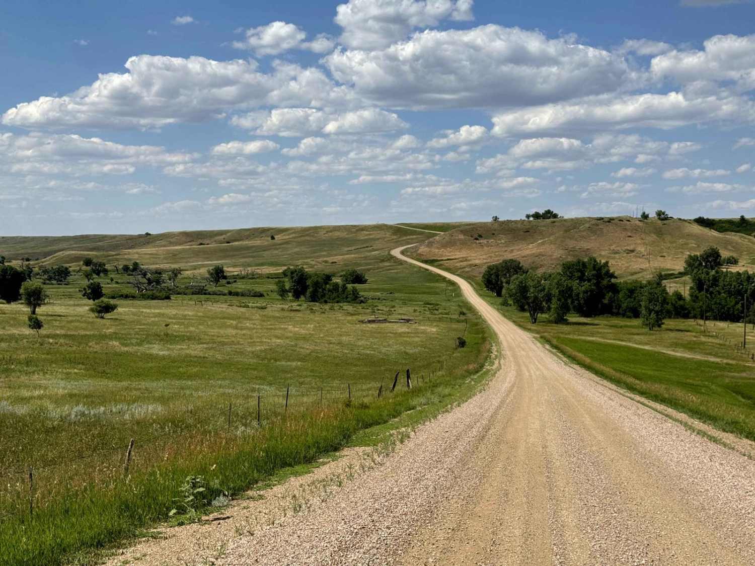
Spring Draw Rd

Spring Draw Rd

Spring Draw Rd is an accessible, well-maintained Gravel Road that connects Indian Creek Rd Hwy 44 and takes you through the northwest part of Buffalo Gap Natl Grassland. You might be able to see prairie…
Learn more about Spring Draw Rd
Total Miles
6.0
Tech Rating
1 Easy
Best Time
Spring, Summer, Fall

The onX Offroad Difference

onX Offroad combines trail photos, descriptions, difficulty ratings, width restrictions, seasonality, and more in a user-friendly interface. Available on all devices, with offline access and full compatibility with CarPlay and Android Auto. Discover what you’re missing today!