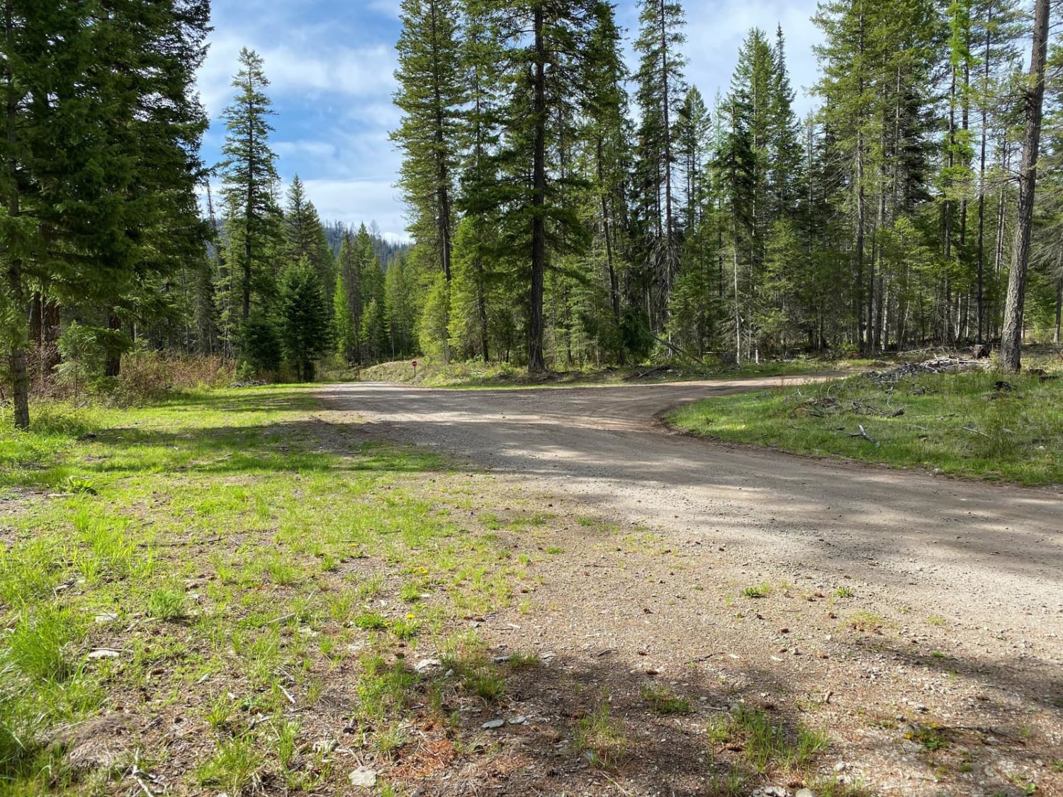
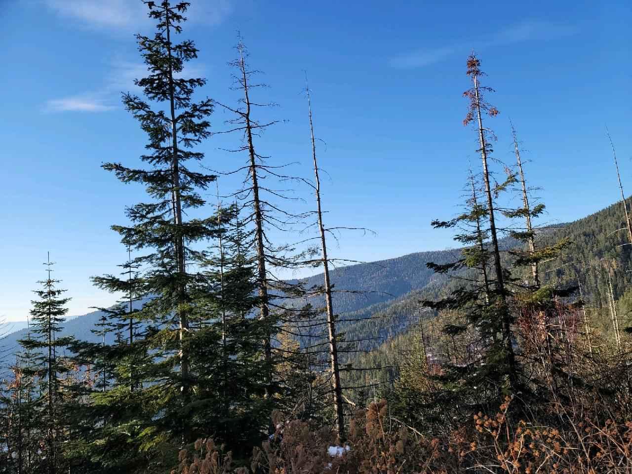
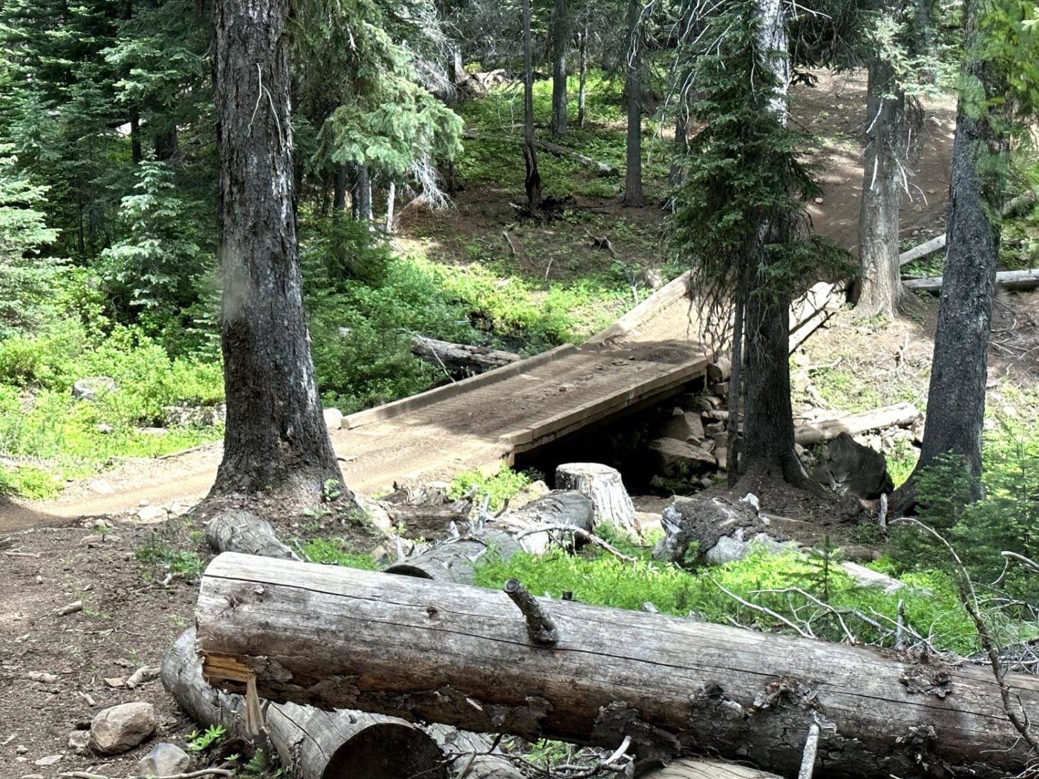
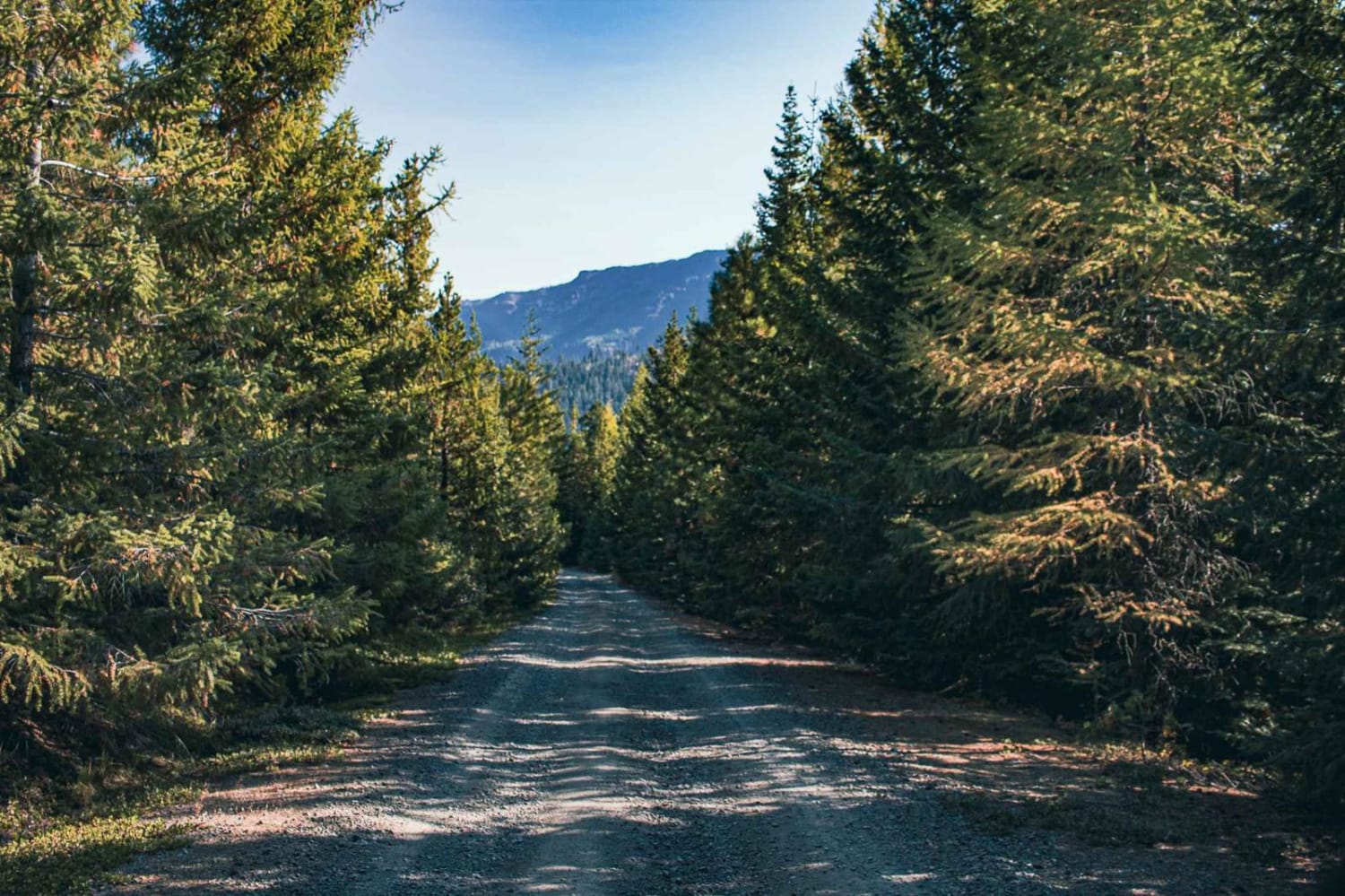
Off-Road Trails in Washington
Discover off-road trails in Washington
Learn more about Sherlock Peak Byway
Sherlock Peak Byway
Total Miles
8.0
Tech Rating
Easy
Best Time
Spring
Learn more about Shoestring Trail
Shoestring Trail
Total Miles
3.6
Tech Rating
Moderate
Best Time
Spring, Summer, Fall
Learn more about Short and Dirty
Short and Dirty
Total Miles
3.8
Tech Rating
Easy
Best Time
Spring, Summer, Fall, Winter
Learn more about Sinlahekin Road
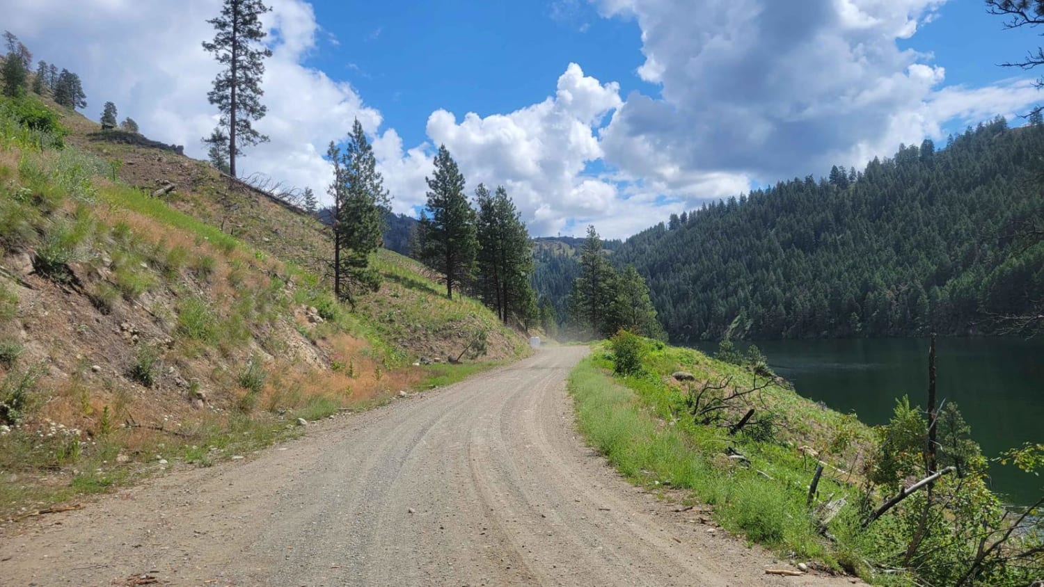
Sinlahekin Road
Total Miles
16.4
Tech Rating
Easy
Best Time
Fall, Summer
Learn more about Sitkum Soleduck
Sitkum Soleduck
Total Miles
22.3
Tech Rating
Easy
Best Time
Spring, Summer
Learn more about Sitkum Soleduck Dead End
Sitkum Soleduck Dead End
Total Miles
3.1
Tech Rating
Easy
Best Time
Summer, Fall
Learn more about Skull and Crossbones Road
Skull and Crossbones Road
Total Miles
4.3
Tech Rating
Easy
Best Time
Fall, Summer
Learn more about Slippery Creek Road

Slippery Creek Road
Total Miles
6.9
Tech Rating
Easy
Best Time
Spring, Summer, Fall
Learn more about Smith Creek Road
Smith Creek Road
Total Miles
29.8
Tech Rating
Easy
Best Time
Spring, Summer, Fall
Learn more about Smoothing Iron
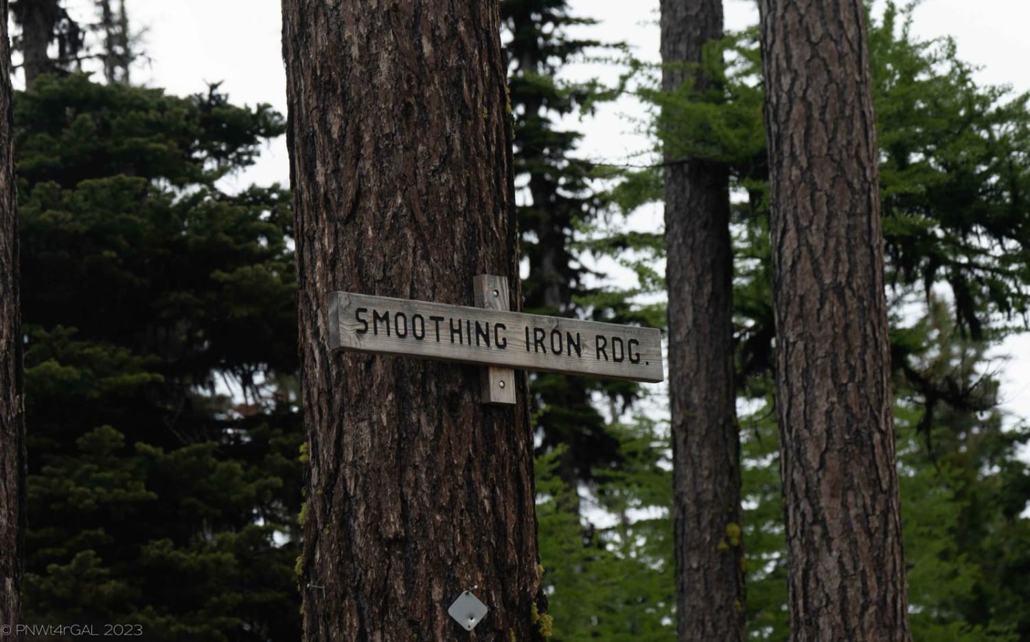
Smoothing Iron
Total Miles
9.1
Tech Rating
Easy
Best Time
Spring, Summer, Fall
Learn more about Snowy Creek Trailhead
Snowy Creek Trailhead
Total Miles
7.3
Tech Rating
Easy
Best Time
Spring, Summer, Fall
Learn more about Snyder Mountain Trail
Snyder Mountain Trail
Total Miles
13.4
Tech Rating
Easy
Best Time
Spring, Summer, Fall
Learn more about South Cle Elum Ridge - NF3350
South Cle Elum Ridge - NF3350
Total Miles
6.7
Tech Rating
Easy
Best Time
Spring, Summer, Fall
Learn more about South Huckleberry Trail
South Huckleberry Trail
Total Miles
4.2
Tech Rating
Moderate
Best Time
Learn more about South Huckleberry2 Trail
South Huckleberry2 Trail
Total Miles
6.2
Tech Rating
Moderate
Best Time
Learn more about South Tahuya Loop
South Tahuya Loop
Total Miles
3.0
Tech Rating
Moderate
Best Time
Spring, Summer, Fall, Winter
Learn more about Southern Toats Coulee Road
Southern Toats Coulee Road
Total Miles
4.0
Tech Rating
Easy
Best Time
Fall, Summer
The onX Offroad Difference
onX Offroad combines trail photos, descriptions, difficulty ratings, width restrictions, seasonality, and more in a user-friendly interface. Available on all devices, with offline access and full compatibility with CarPlay and Android Auto. Discover what you’re missing today!