Off-Road Trails in Arizona
Discover off-road trails in Arizona
Learn more about Ivan East
Ivan East
Total Miles
2.6
Tech Rating
Easy
Best Time
Spring, Summer, Fall
Learn more about Jack Handle
Jack Handle
Total Miles
2.9
Tech Rating
Difficult
Best Time
Spring, Summer, Fall, Winter
Learn more about Jack Pine Road
Jack Pine Road
Total Miles
2.4
Tech Rating
Easy
Best Time
Spring, Summer, Fall
Learn more about Jackrabbit Loop
Jackrabbit Loop
Total Miles
6.4
Tech Rating
Moderate
Best Time
Spring, Fall, Winter
Learn more about Jackrabbit Trail
Jackrabbit Trail
Total Miles
5.8
Tech Rating
Moderate
Best Time
Spring, Fall, Winter
Learn more about Jackrabbit Wash
Jackrabbit Wash
Total Miles
7.9
Tech Rating
Moderate
Best Time
Spring, Winter, Fall
Learn more about Jackrabbit Way

Jackrabbit Way
Total Miles
6.0
Tech Rating
Easy
Best Time
Spring, Summer, Fall
Learn more about Jacks Canyon
Jacks Canyon
Total Miles
6.3
Tech Rating
Easy
Best Time
Spring, Summer, Fall
Learn more about Jackson Cabin
Jackson Cabin
Total Miles
28.2
Tech Rating
Easy
Best Time
Spring, Fall
Learn more about Jacob Lake Burn Piles
Jacob Lake Burn Piles
Total Miles
1.2
Tech Rating
Easy
Best Time
Spring, Summer, Fall
Learn more about Jacobs Well to Brumley Well (County 101)
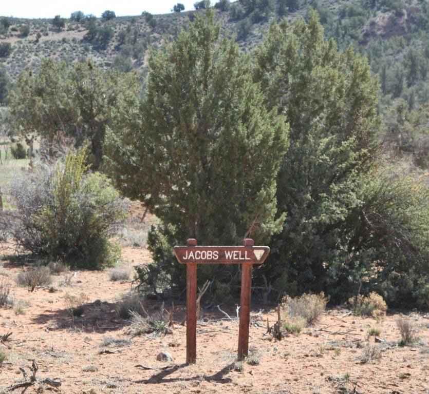
Jacobs Well to Brumley Well (County 101)
Total Miles
6.0
Tech Rating
Easy
Best Time
Spring, Summer, Fall
Learn more about Javelina Camp

Javelina Camp
Total Miles
1.5
Tech Rating
Easy
Best Time
Spring, Fall, Winter
Learn more about Javelina Flow

Javelina Flow
Total Miles
3.6
Tech Rating
Easy
Best Time
Spring, Summer, Fall
Learn more about Javelina Mountain Trail
Javelina Mountain Trail
Total Miles
33.2
Tech Rating
Easy
Best Time
Winter, Fall, Spring
Learn more about Javelina Problem

Javelina Problem
Total Miles
1.1
Tech Rating
Easy
Best Time
Spring, Summer, Fall
Learn more about JD Dam Lake
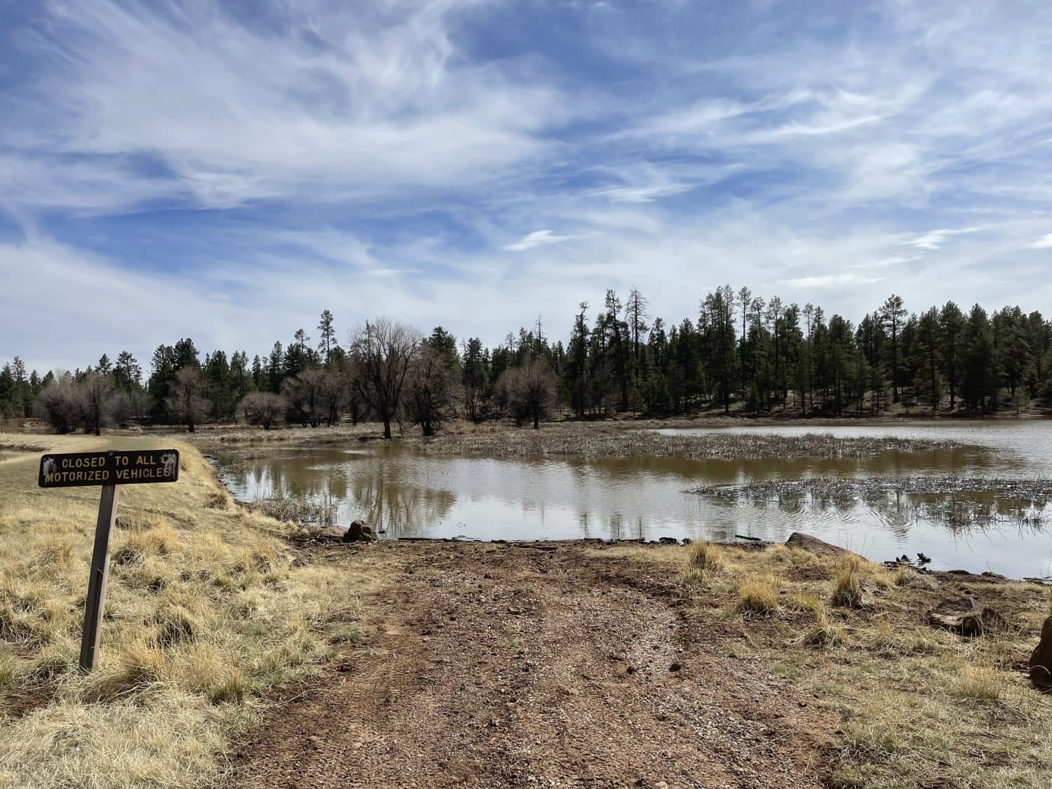
JD Dam Lake
Total Miles
8.3
Tech Rating
Easy
Best Time
Fall, Summer, Spring
Learn more about Jeep Cove Trail
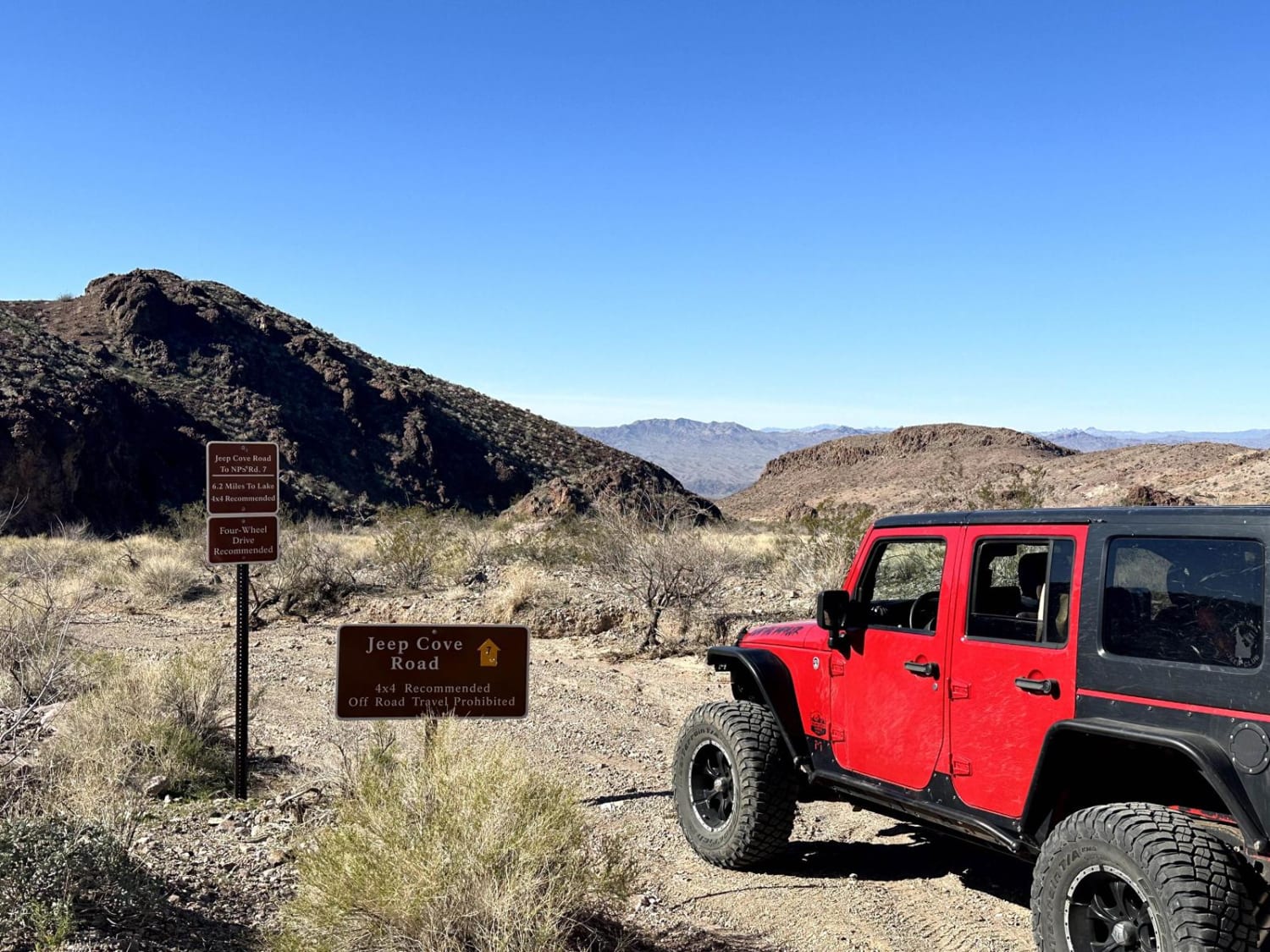
Jeep Cove Trail
Total Miles
6.1
Tech Rating
Easy
Best Time
Spring, Summer, Fall, Winter
Learn more about Jerome to Williams
Jerome to Williams
Total Miles
49.1
Tech Rating
Easy
Best Time
Summer, Fall, Spring, Winter
Learn more about Jesters Trailhead
Jesters Trailhead
Total Miles
2.0
Tech Rating
Easy
Best Time
Spring, Winter
The onX Offroad Difference
onX Offroad combines trail photos, descriptions, difficulty ratings, width restrictions, seasonality, and more in a user-friendly interface. Available on all devices, with offline access and full compatibility with CarPlay and Android Auto. Discover what you’re missing today!