Off-Road Trails in Arizona

Discover off-road trails in Arizona

Learn more about Power Line Hill South
Power Line Hill South

Power Line Hill South

This hilltop overlook might be the highest vehicle-accessible hill in the whole area. If you choose to drive a machine up this hill, you should be extremely careful; there are sheer drop-offs on all sides,…
Learn more about Power Line Hill South
Total Miles
0.1
Tech Rating
8 Difficult
Best Time
Spring, Summer, Fall, Winter
Learn more about Power Line Road | Hidden Valley South
Power Line Road | Hidden Valley South

Power Line Road | Hidden Valley South

This trail has varying difficulty. There is an expert-level rock garden a couple of hundred feet long at the big hill climb, but otherwise, it's a level 4 difficulty. The rock garden has off-camber obstacles;…
Learn more about Power Line Road | Hidden Valley South
Total Miles
5.9
Tech Rating
6 Moderate
Best Time
Spring, Fall, Winter, Summer
Learn more about Power North
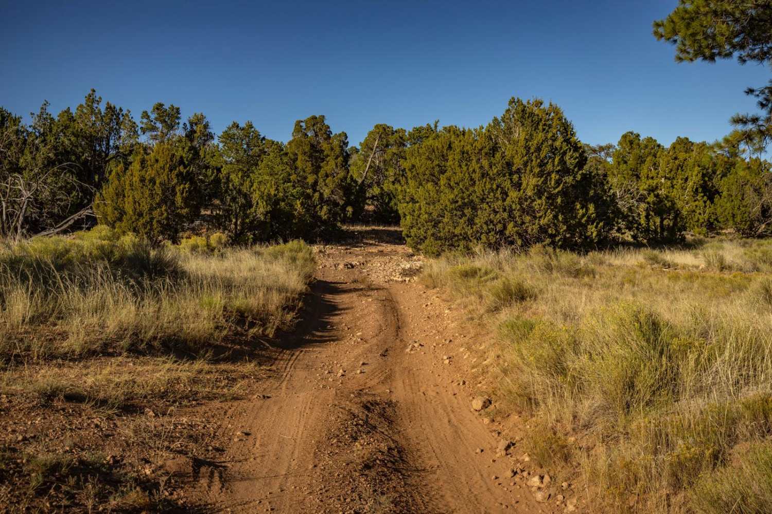
Power North

Power North

Power North is decidedly not as challenging as its counterpart to the South, but it does sport ledges of varying size, particularly on the uphills. There are wash crossings filled with large rocks, and these…
Learn more about Power North
Total Miles
6.9
Tech Rating
4 Moderate
Best Time
Spring, Summer, Fall
Learn more about Power Pull
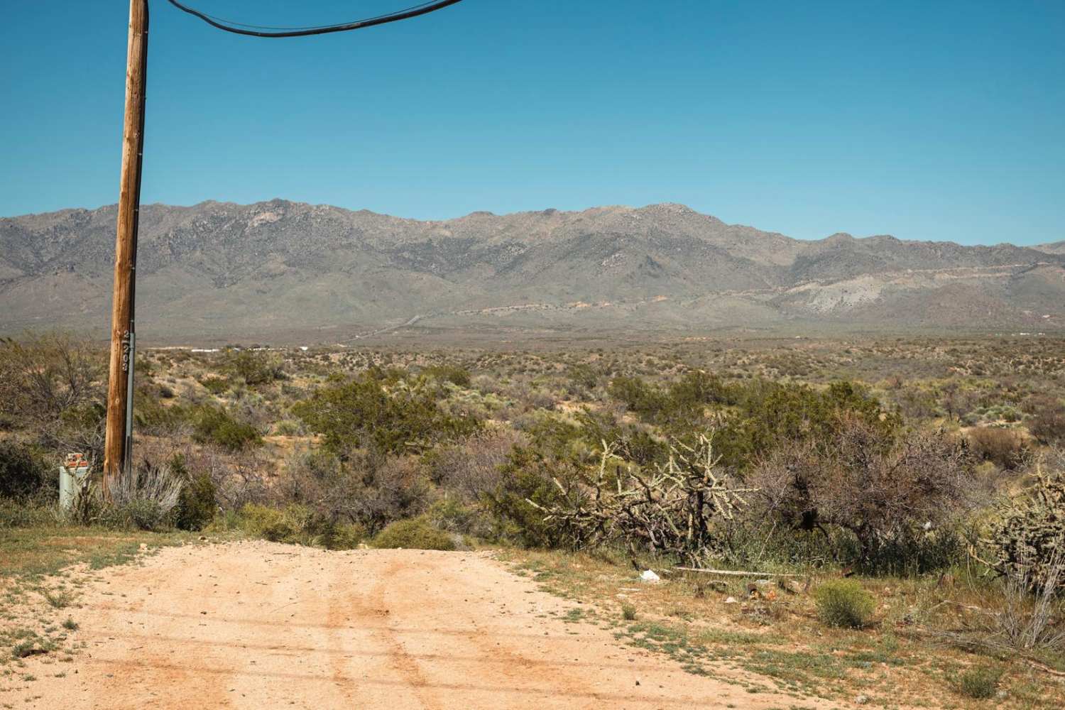
Power Pull

Power Pull

What seems like just another Powerline Road, isn't. The highlight of this trail is a steep hill toward the western end. This hill has a combination of off-camber, loose rock, and erosion that might make…
Learn more about Power Pull
Total Miles
3.1
Tech Rating
3 Easy
Best Time
Spring, Summer, Fall
Learn more about Power Rock Climb
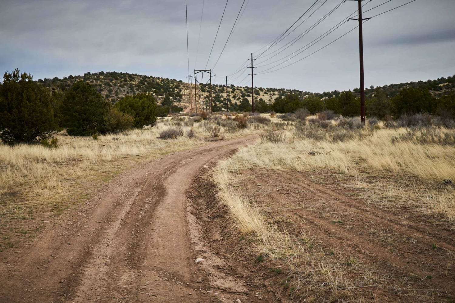
Power Rock Climb

Power Rock Climb

The Power Line Climb Trail certainly lives up to its name. A single lane-wide trail that starts as a gentle rise turns into a climb from all sides that you approach. This trail is gnarled,…
Learn more about Power Rock Climb
Total Miles
1.3
Tech Rating
5 Moderate
Best Time
Spring, Fall, Winter
Learn more about Powerdown
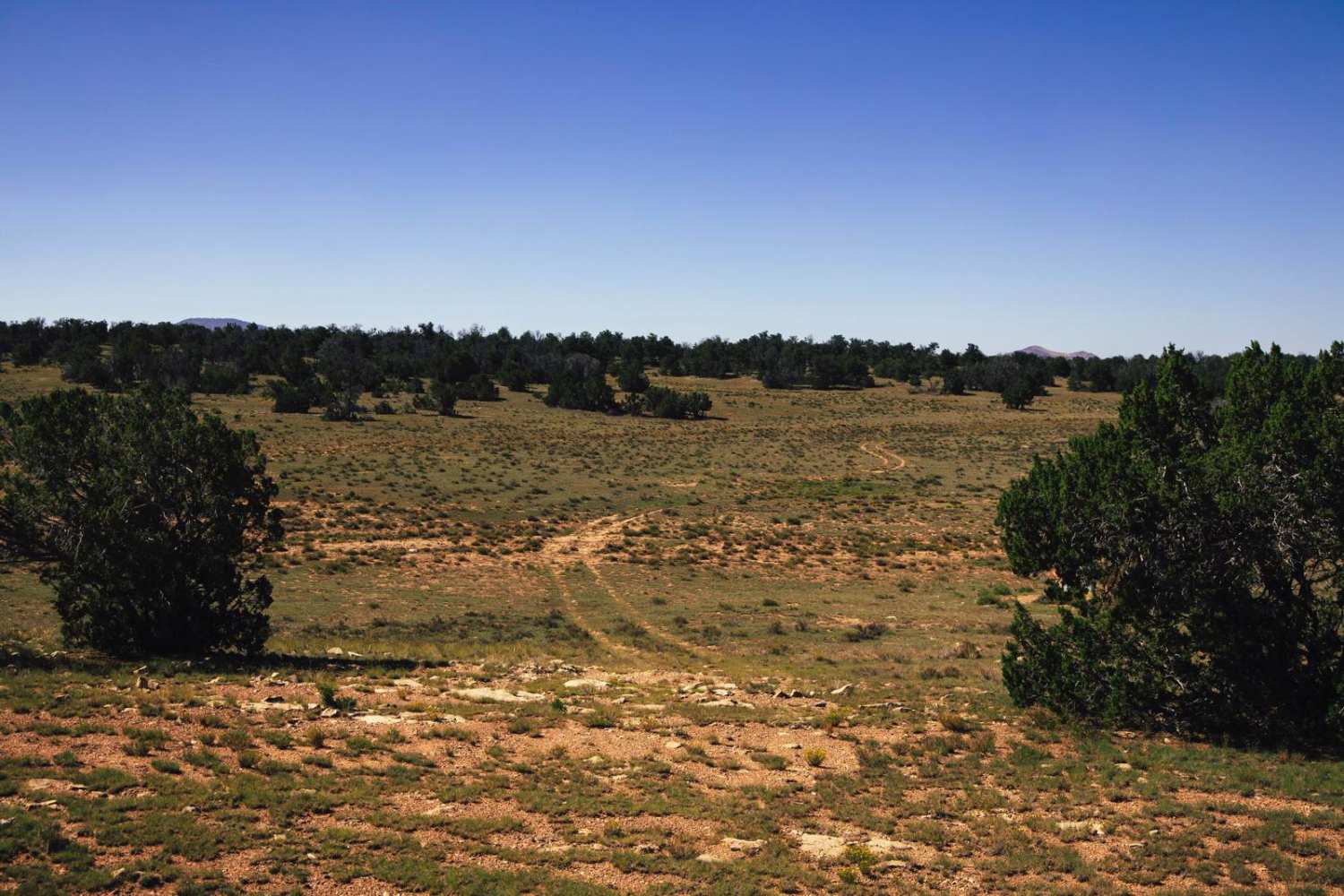
Powerdown

Powerdown

There's not much to the Powerdown trail. It's one lane, dirt, and bumpy. There are no obstacles on this trail, though it may be a bit muddy in monsoon season. It appears to be more…
Learn more about Powerdown
Total Miles
3.9
Tech Rating
2 Easy
Best Time
Spring, Summer, Fall
Learn more about Powerline Loop Trail
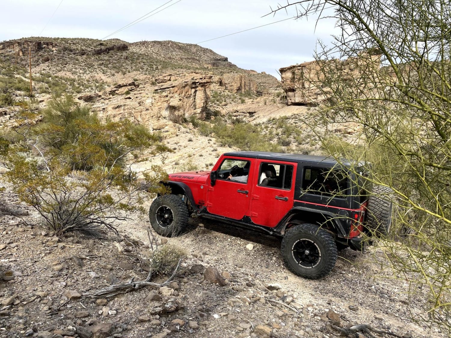
Powerline Loop Trail

Powerline Loop Trail

This 8.8-mile loop trail is an old service road for power lines. This trail has many steep grades and passes through several different washes and canyons. Depending on the direction of travel you will be…
Learn more about Powerline Loop Trail
Total Miles
8.8
Tech Rating
5 Moderate
Best Time
Spring, Summer, Fall
Learn more about Powerline ORV Loop
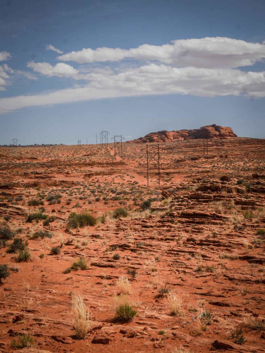
Powerline ORV Loop

Powerline ORV Loop

The Powerline ORV Loop is a newly developed route in the Ferry Swale area of Glen Canyon National Recreation Area. It's mostly a wide sandy road under the powerlines, with two spurs out to viewpoints…
Learn more about Powerline ORV Loop
Total Miles
3.0
Tech Rating
3 Easy
Best Time
Winter, Fall, Spring
Learn more about Powerline Perimeter
Powerline Perimeter

Powerline Perimeter

This is a 4-mile powerline road going along the north and west perimeter of this OHV area on City of Page land. The east end starts from Border Road at the end of the industrial…
Learn more about Powerline Perimeter
Total Miles
4.0
Tech Rating
2 Easy
Best Time
Winter, Fall, Spring
Learn more about Powerline Problem
Powerline Problem

Powerline Problem

The Powerline trail system through the Prescott National Forest has been just that: a problem. From locked gates to inaccessible areas, this section of trail is one of the rougher sections mapped thus far. Rocks,…
Learn more about Powerline Problem
Total Miles
2.2
Tech Rating
3 Easy
Best Time
Spring, Summer, Fall
Learn more about Powerline Road
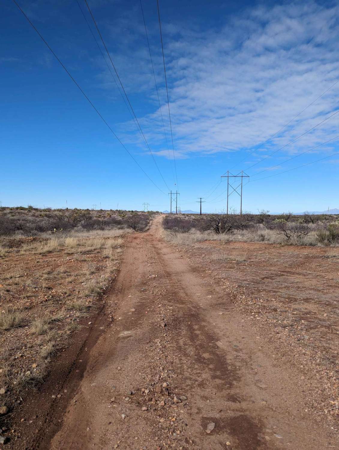
Powerline Road

Powerline Road

The Powerline Road is a rugged trail that begins just off of Old Sonoita Highway and runs eastward along I-10 towards the Whetstone Mountains. The Powerline trail is popular with ATVs, dirt bikes, SxSs, and…
Learn more about Powerline Road
Total Miles
6.9
Tech Rating
4 Moderate
Best Time
Spring, Fall, Summer, Winter
Learn more about Powerline Road (South) - 2
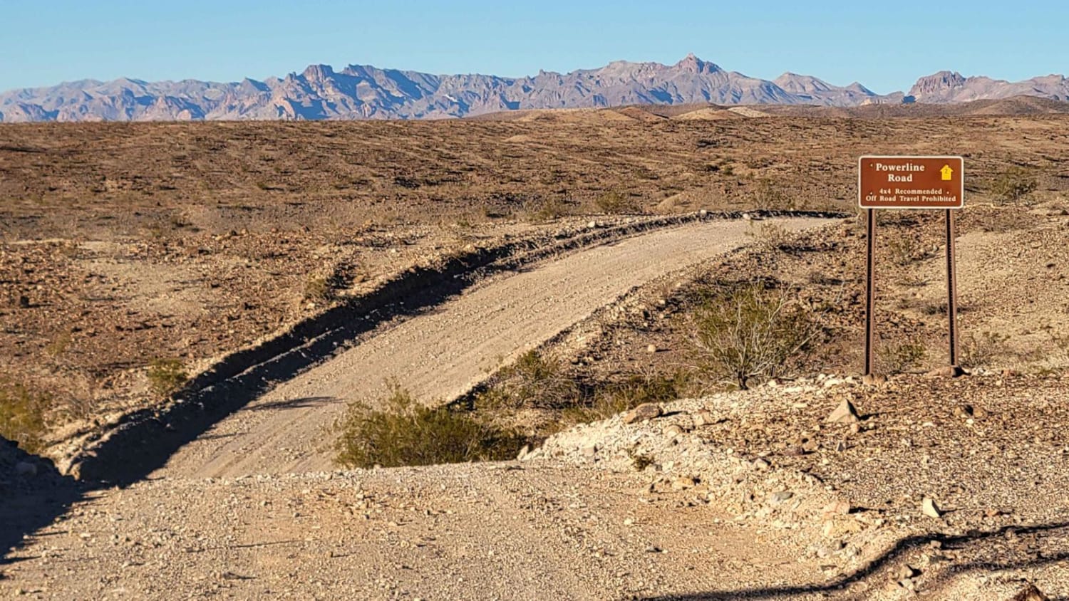
Powerline Road (South) - 2

Powerline Road (South) - 2

Powerline Road (South), Route 2, is a point-to-point dirt trail that begins and ends off of Princess Cove Road. The trail follows the powerline towers and offers beautiful views of the surrounding desert and the…
Learn more about Powerline Road (South) - 2
Total Miles
2.7
Tech Rating
3 Easy
Best Time
Spring, Summer, Fall, Winter
Learn more about Powerline Road West-BLM2075
Powerline Road West-BLM2075

Powerline Road West-BLM2075

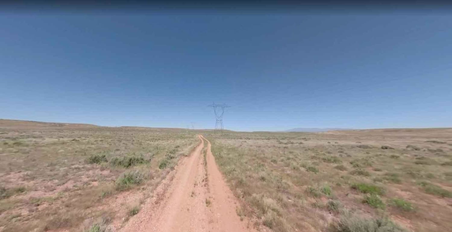
Powerline Road West-BLM2075 is a dirt road that is rated 2 out of 10. This section of the Powerline Road extends from the Hurricane Cliffs to the intersection of BLM2076 and 2079. Powerline road traverses…
Learn more about Powerline Road West-BLM2075
Total Miles
9.0
Tech Rating
2 Easy
Best Time
Spring, Summer, Fall, Winter
Learn more about Powerline to Red Rim
Powerline to Red Rim

Powerline to Red Rim

This trail of just over a mile long goes through the red sandy desert on City of Page land. It cuts through the desert from northwest to southeast starting from the perimeter powerline road. It's…
Learn more about Powerline to Red Rim
Total Miles
1.2
Tech Rating
2 Easy
Best Time
Winter, Fall, Spring
Learn more about Powerline View
Powerline View

Powerline View

This is a 1.3-mile trail that follows a powerline and brings you up to a high-up incredible view of the Vermillion Cliffs. This one is a bit more technical because it has sections of deep…
Learn more about Powerline View
Total Miles
1.3
Tech Rating
4 Moderate
Best Time
Spring, Winter, Fall
Learn more about Powerline West
Powerline West

Powerline West

If you're looking for a challenging, rocky trail, then this is that trail for you! With many long, rocky hills with ledges, boulders, and wash crossings, this trail has "line choice" written all over it.…
Learn more about Powerline West
Total Miles
8.2
Tech Rating
3 Easy
Best Time
Spring, Summer, Fall
Learn more about Pozo Nuevo Road
Pozo Nuevo Road

Pozo Nuevo Road

Pozo Nuevo Road is within the Organ Pipe National Monument and is a 14-mile road that connects Puerto Blanco Drive with Bates Well Road. Quitobaquito Spring and the border wall are at the southern end…
Learn more about Pozo Nuevo Road
Total Miles
15.6
Tech Rating
1 Easy
Best Time
Spring, Summer, Fall, Winter
Learn more about Prairie Blast / FR 27
Prairie Blast / FR 27

Prairie Blast / FR 27

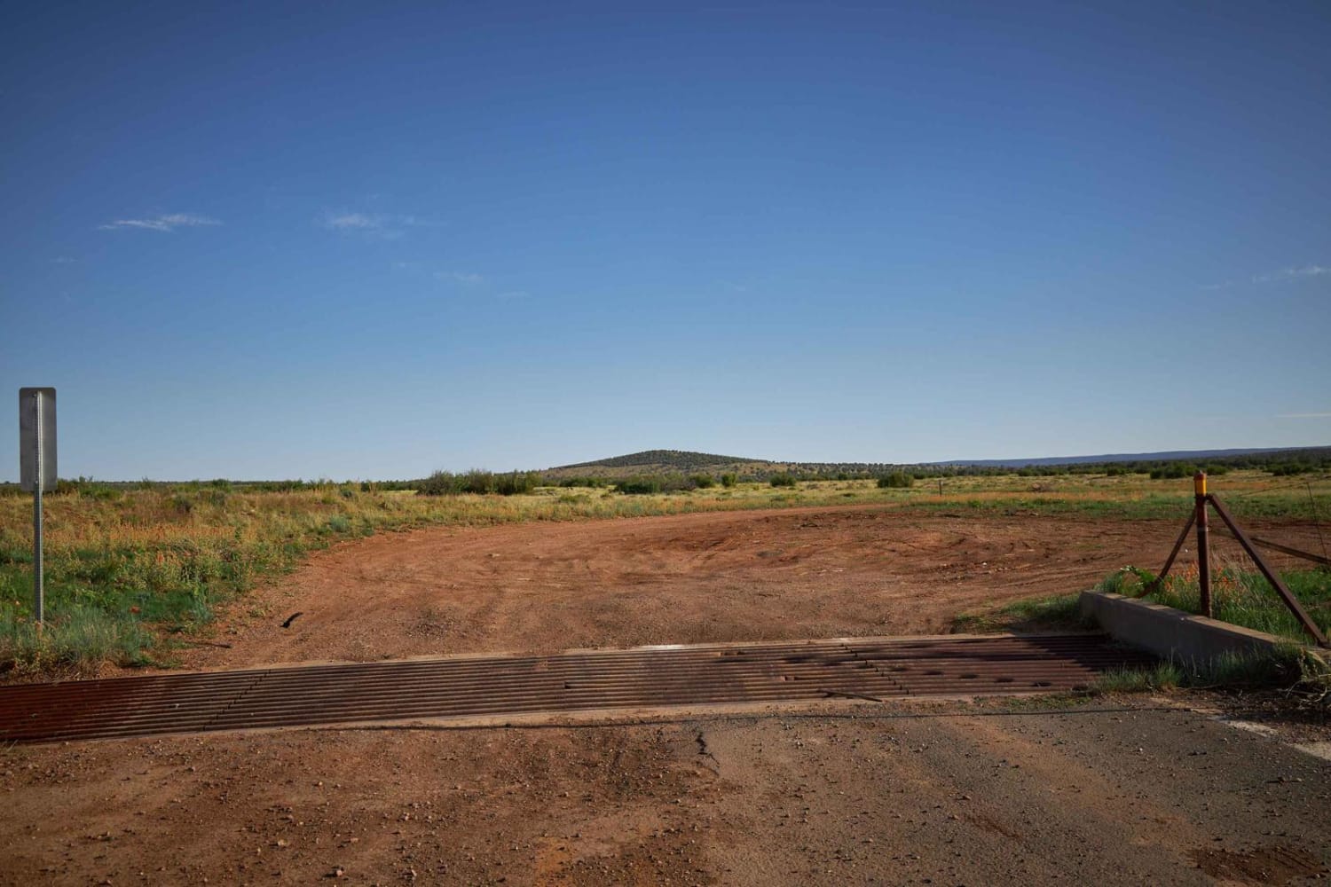
If you've taken the Bill Williams-Prescott Forest Traverse West from Williams, this trail is a great way to lower your blood pressure. Rolling and beautiful, with no obstacles other than a couple of wash crossings.…
Learn more about Prairie Blast / FR 27
Total Miles
4.9
Tech Rating
2 Easy
Best Time
Spring, Fall
Learn more about Prairie Loop
Prairie Loop

Prairie Loop

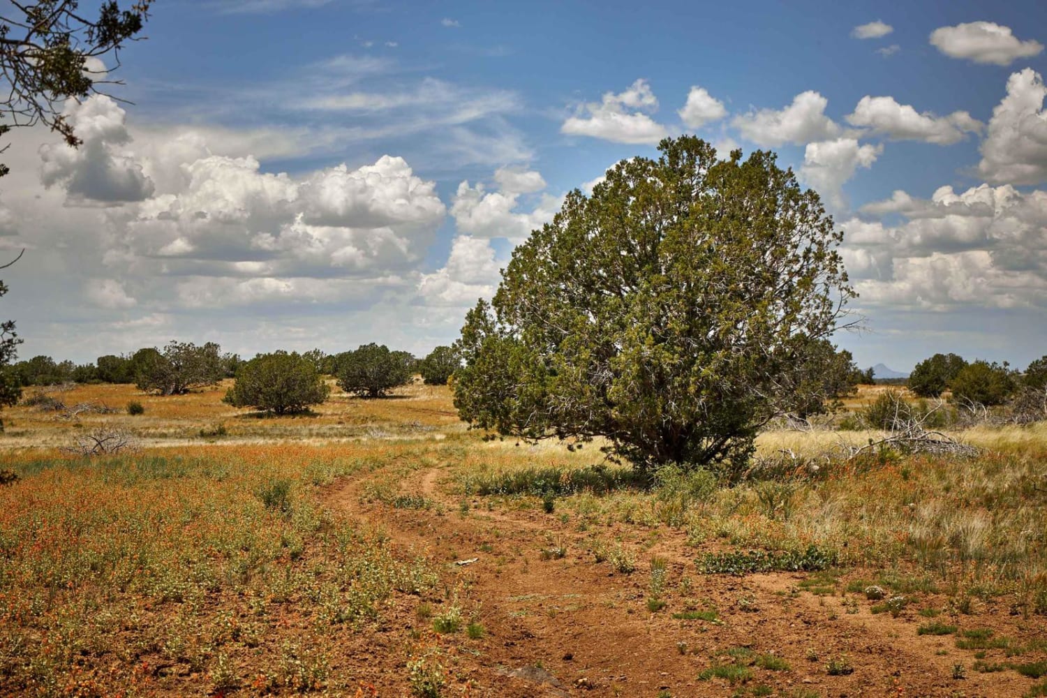
Prairie Loop is a side trail across the prairie of the Kaibab National Forest. On this loop, you'll cross open prairie filled with wildflower blooms (provided there has been enough rain) and sporadic mixed pine…
Learn more about Prairie Loop
Total Miles
4.4
Tech Rating
2 Easy
Best Time
Fall, Summer, Spring
Learn more about Prairie Slide
Prairie Slide

Prairie Slide

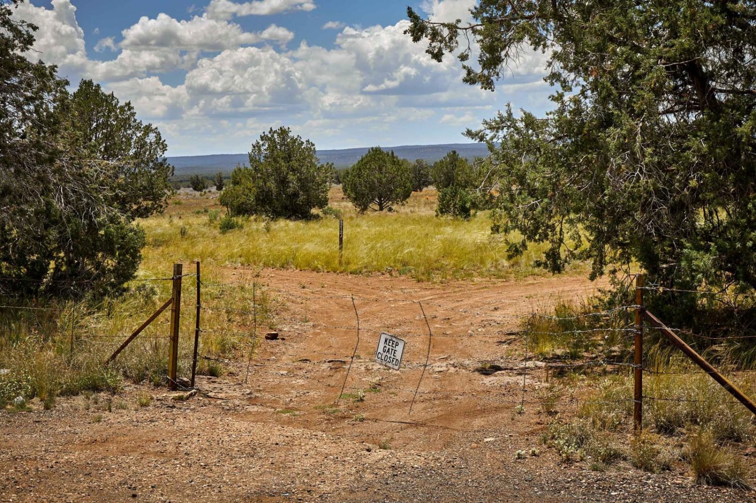
Prairie Slide is a nice jaunt across the prairie of the Kaibab National Forest outside of Prescott, AZ. On this ride, you'll cross beautiful grassland and wildflower blooms (provided there has been enough rain) and…
Learn more about Prairie Slide
Total Miles
3.3
Tech Rating
2 Easy
Best Time
Spring, Summer, Fall

The onX Offroad Difference

onX Offroad combines trail photos, descriptions, difficulty ratings, width restrictions, seasonality, and more in a user-friendly interface. Available on all devices, with offline access and full compatibility with CarPlay and Android Auto. Discover what you’re missing today!