Off-Road Trails in Arizona

Discover off-road trails in Arizona

Learn more about Queen Creek Canyon
Queen Creek Canyon

Queen Creek Canyon

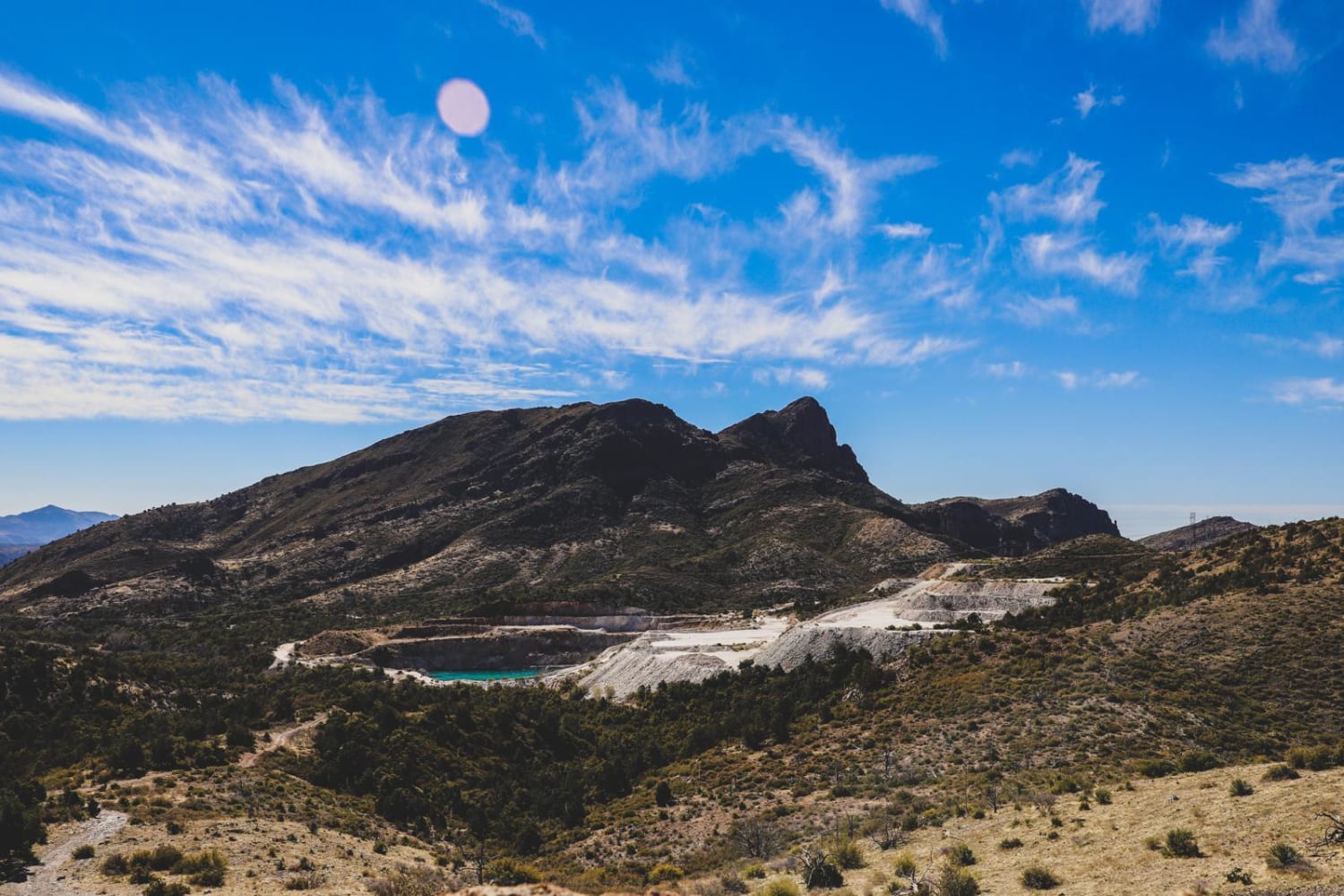
This connects to Montana Mountain from US 60. Starting from the 60, the trail is a maintained dirt road leading up to a SRP substation. Once you reach the substation, you will turn onto FR…
Learn more about Queen Creek Canyon
Total Miles
12.0
Tech Rating
6 Moderate
Best Time
Spring, Summer, Fall
Learn more about Rabbits Edge
Rabbits Edge

Rabbits Edge

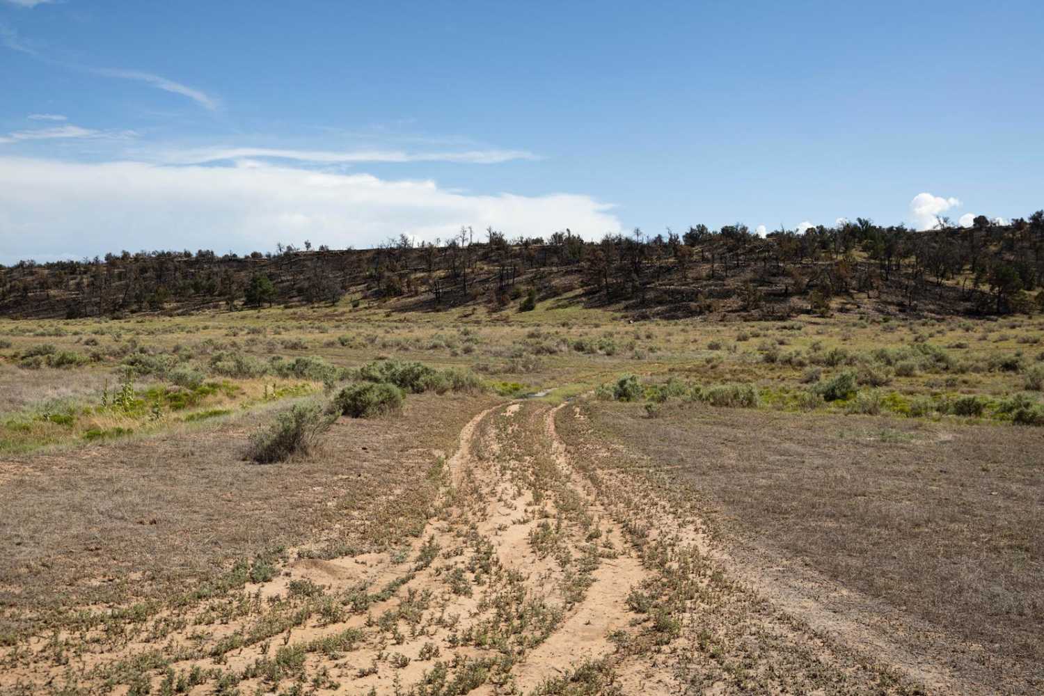
Rabbits Edge Trail is named for the Rabbit Fire, a wildfire that burned in this area in July of 2024. It starts off of the Lockwoods Escape trail in a beautiful canyon. The Rabbits Edge…
Learn more about Rabbits Edge
Total Miles
5.1
Tech Rating
2 Easy
Best Time
Spring, Summer, Fall
Learn more about Rad Hat Tank Boulder Field
Rad Hat Tank Boulder Field

Rad Hat Tank Boulder Field

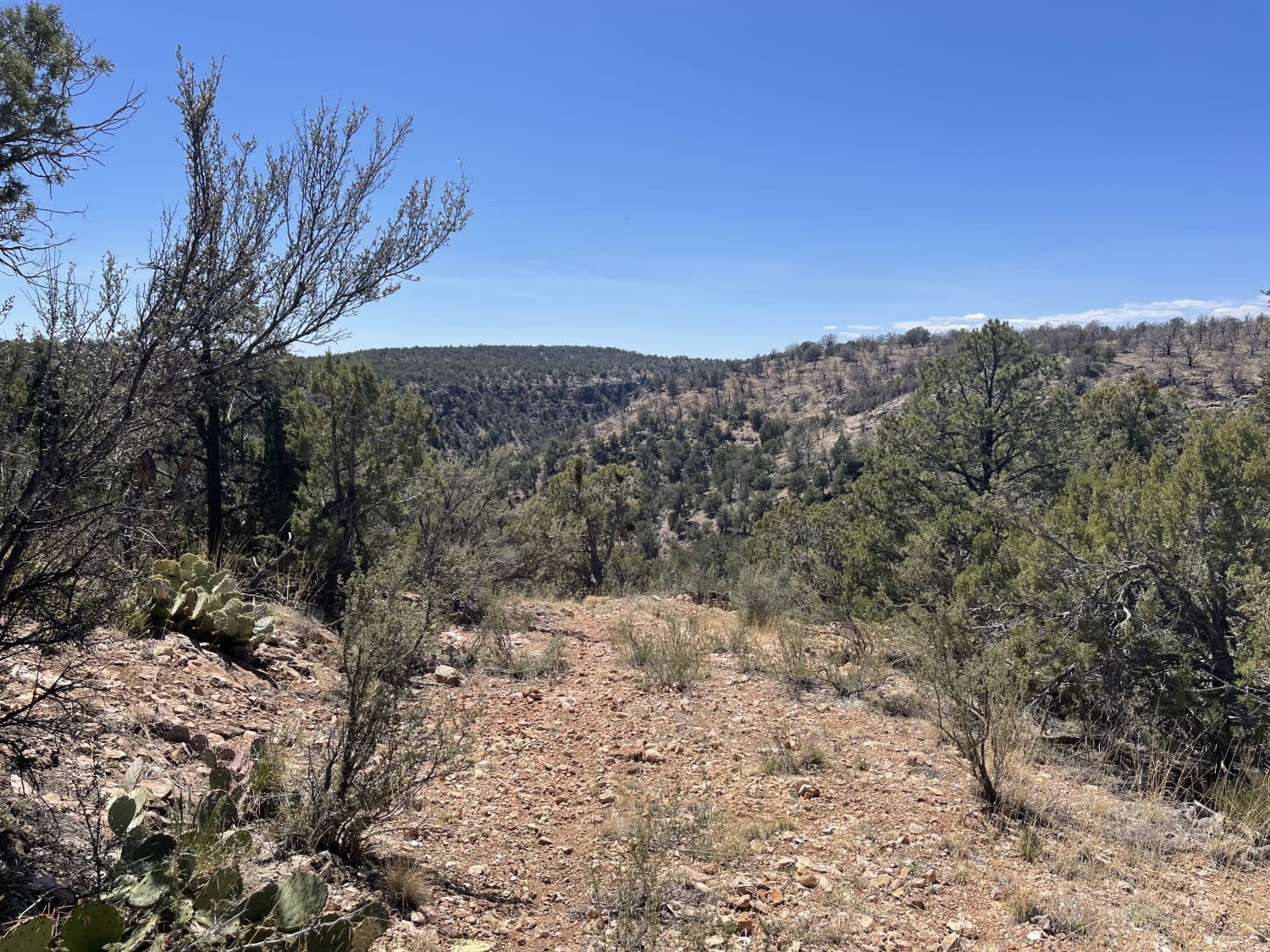
This seemingly never used out and back appears to have become the main route for livestock in the area. The turnout for the Red Hat Mine has been absorbed by the forest and no longer…
Learn more about Rad Hat Tank Boulder Field
Total Miles
0.3
Tech Rating
4 Moderate
Best Time
Fall, Spring
Learn more about Railroad Draw
Railroad Draw

Railroad Draw

This is a spur trail off the main Henderson Flat trail. The first portion of the trail is well maintained heading south towards the Perkinsville Railroad and a huge view of the Verde Valley and…
Learn more about Railroad Draw
Total Miles
9.5
Tech Rating
3 Easy
Best Time
Spring, Fall, Winter
Learn more about Ranch Loop
Ranch Loop

Ranch Loop

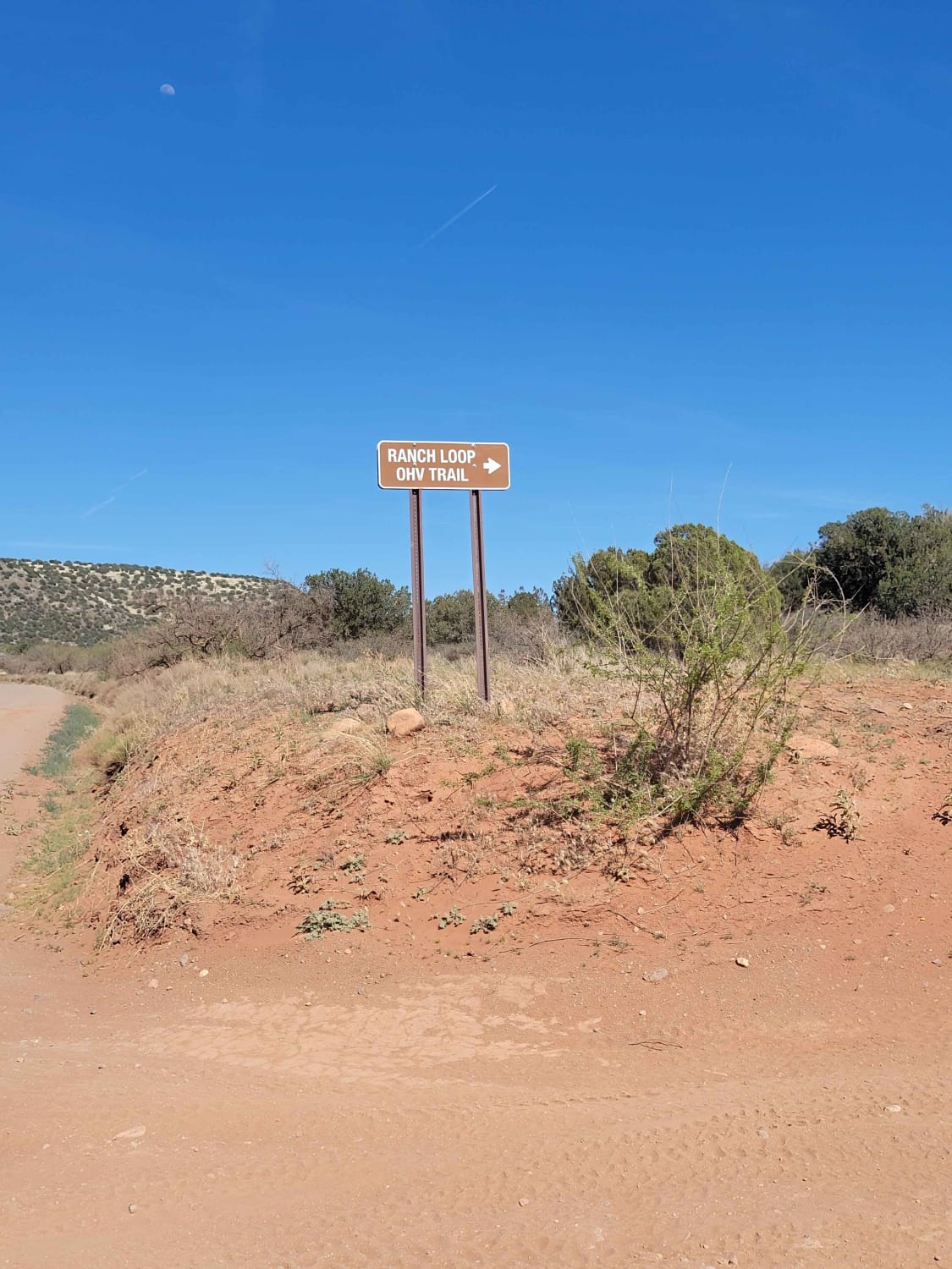
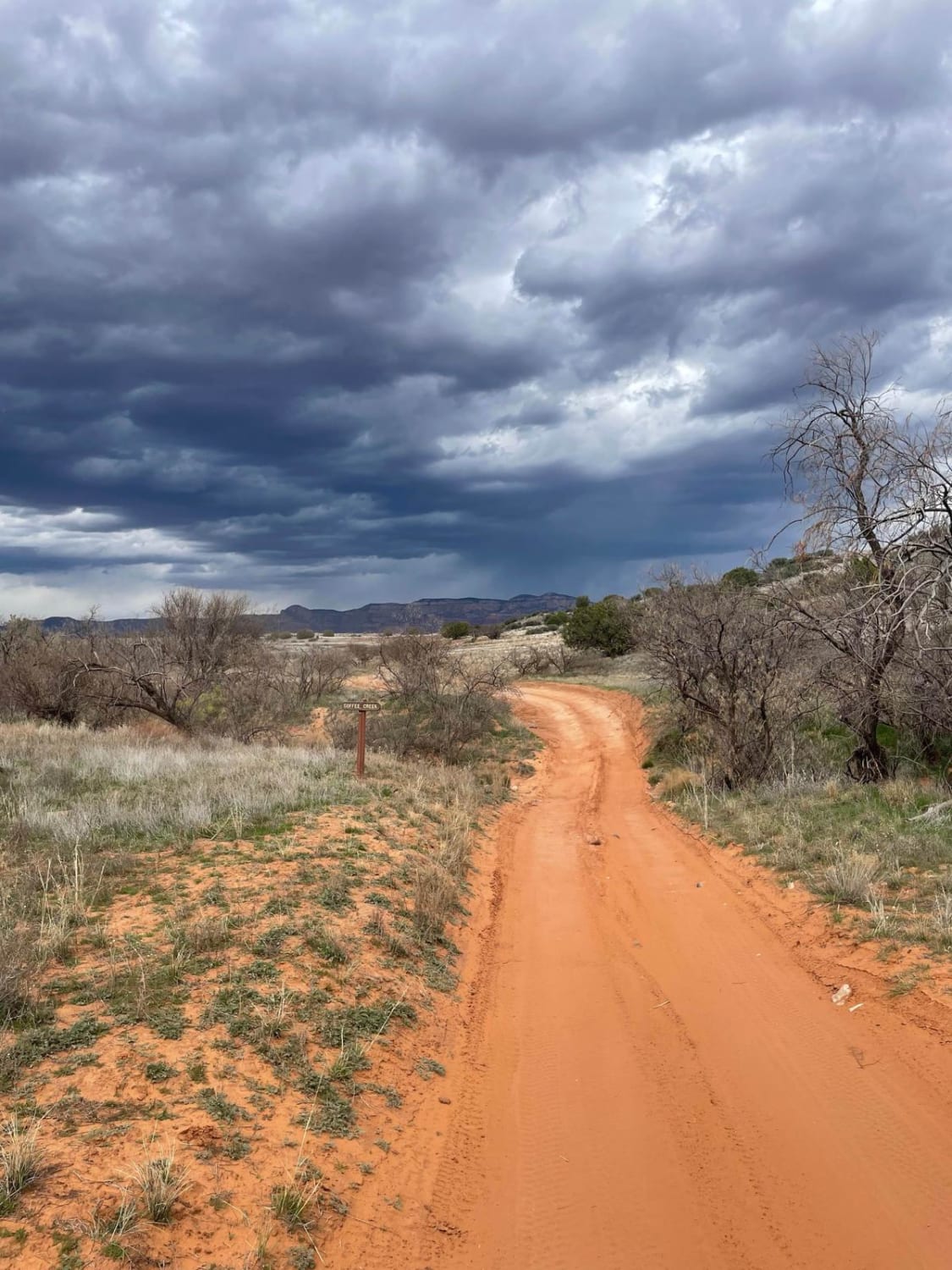
This OHV trail clocks in right at 8 miles long and provides beautiful views of Sedona on the north end. This is a very popular trail and you are almost guaranteed to see others driving/riding.…
Learn more about Ranch Loop
Total Miles
7.9
Tech Rating
2 Easy
Best Time
Spring, Summer, Fall
Learn more about Ranch Loop OHV
Ranch Loop OHV

Ranch Loop OHV

This OHV trail clocks in right at 8 miles long and provides beautiful views of Sedona on the north end. This is a very popular trail and you are almost guaranteed to see others driving/riding.…
Learn more about Ranch Loop OHV
Total Miles
8.0
Tech Rating
2 Easy
Best Time
Spring, Summer, Fall, Winter
Learn more about Rarick Canyon Climb
Rarick Canyon Climb

Rarick Canyon Climb

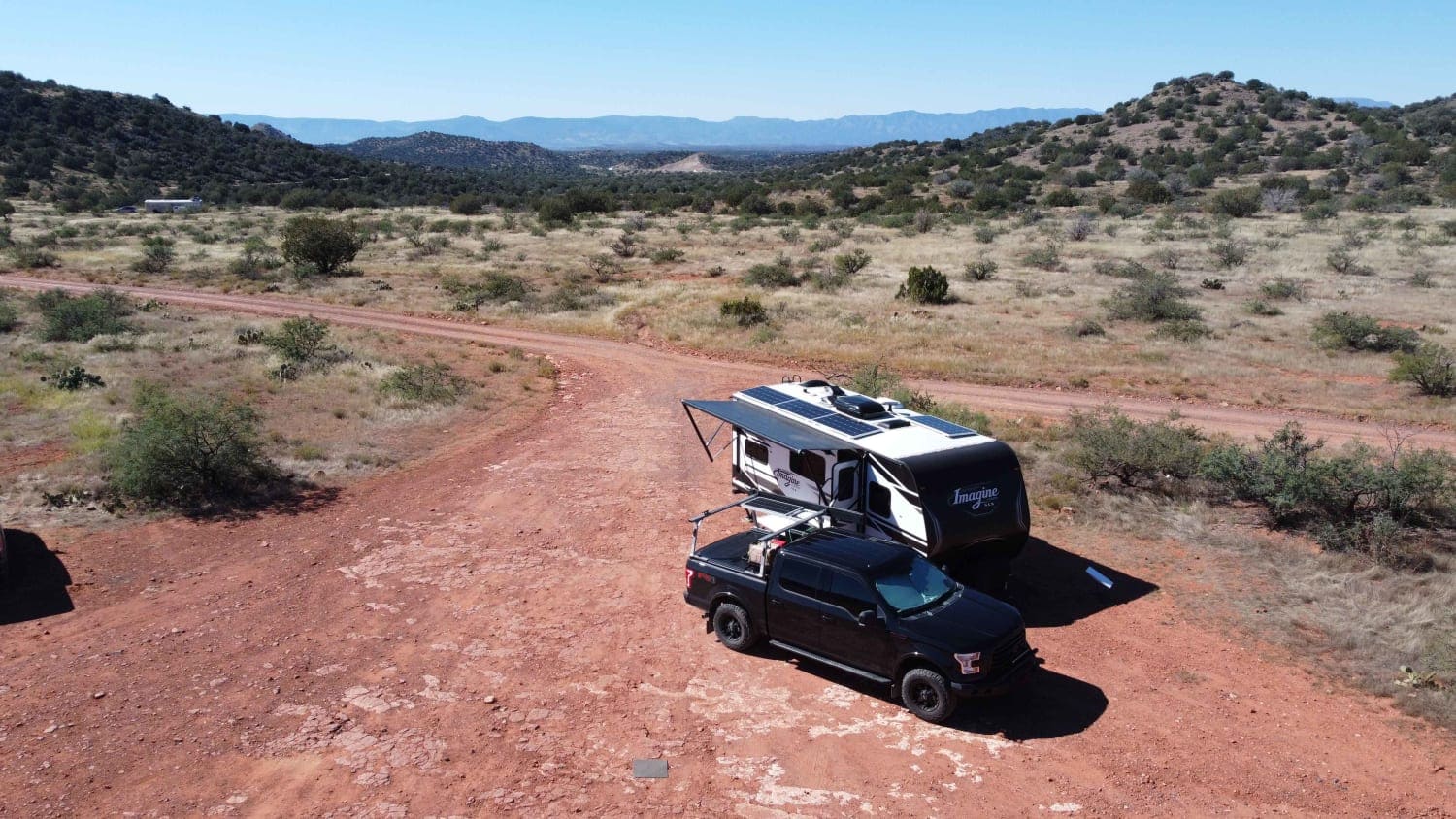
Rarick Canyon Climb is a difficult rocky climb ascending 2,600ft in elevation in Coconino National Forest. Starting out in the red dirt to the south of Blue Grade the trail quickly becomes difficult crossing the…
Learn more about Rarick Canyon Climb
Total Miles
16.8
Tech Rating
5 Moderate
Best Time
Summer, Fall, Spring
Learn more about Rasmussen Extended
Rasmussen Extended

Rasmussen Extended

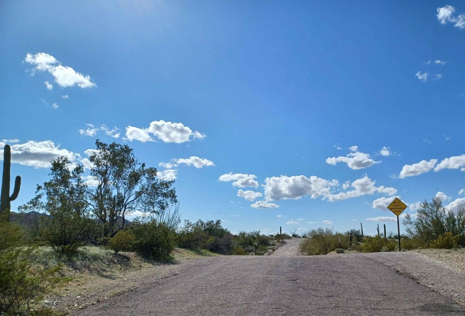
Rasmussen extended road is an out-and-back road that drives through both Bureau of Land Management and Cabeza Prieta National Wildlife Refuge. The wilderness areas require a pass and registration to enter and can be got…
Learn more about Rasmussen Extended
Total Miles
7.0
Tech Rating
1 Easy
Best Time
Spring, Summer, Fall, Winter
Learn more about Rattlesnake Canyon 1054
Rattlesnake Canyon 1054

Rattlesnake Canyon 1054

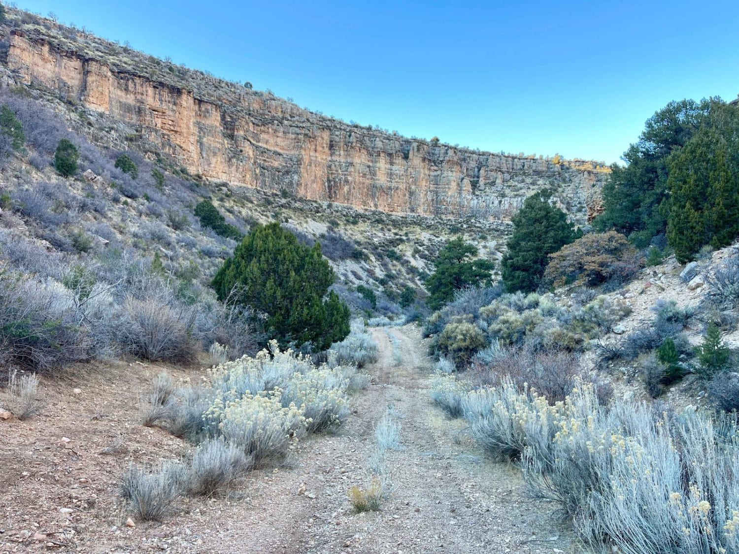
The higher elevation section of the trail is beautiful as it rolls through the trees and crosses over a large amount of deep ruts. Careful tire placement should be used. This terrain continues for a…
Learn more about Rattlesnake Canyon 1054
Total Miles
9.9
Tech Rating
5 Moderate
Best Time
Spring, Fall
Learn more about Raven Butte North Spur
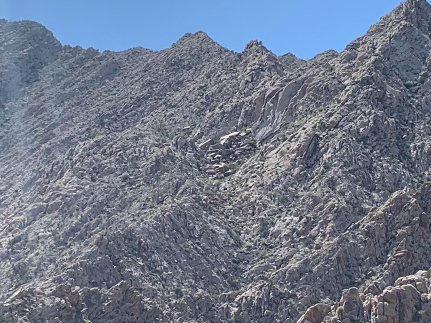
Raven Butte North Spur

Raven Butte North Spur

This is an easy desert ride located in the USAF Barry Goldwater Range southeast of Yuma. The ride consists of some wide-open throttle, flat, straight gravel roads coupled with some mountainous trail riding on rocky,…
Learn more about Raven Butte North Spur
Total Miles
4.4
Tech Rating
2 Easy
Best Time
Spring, Summer, Fall, Winter
Learn more about Rear Hitter #8219
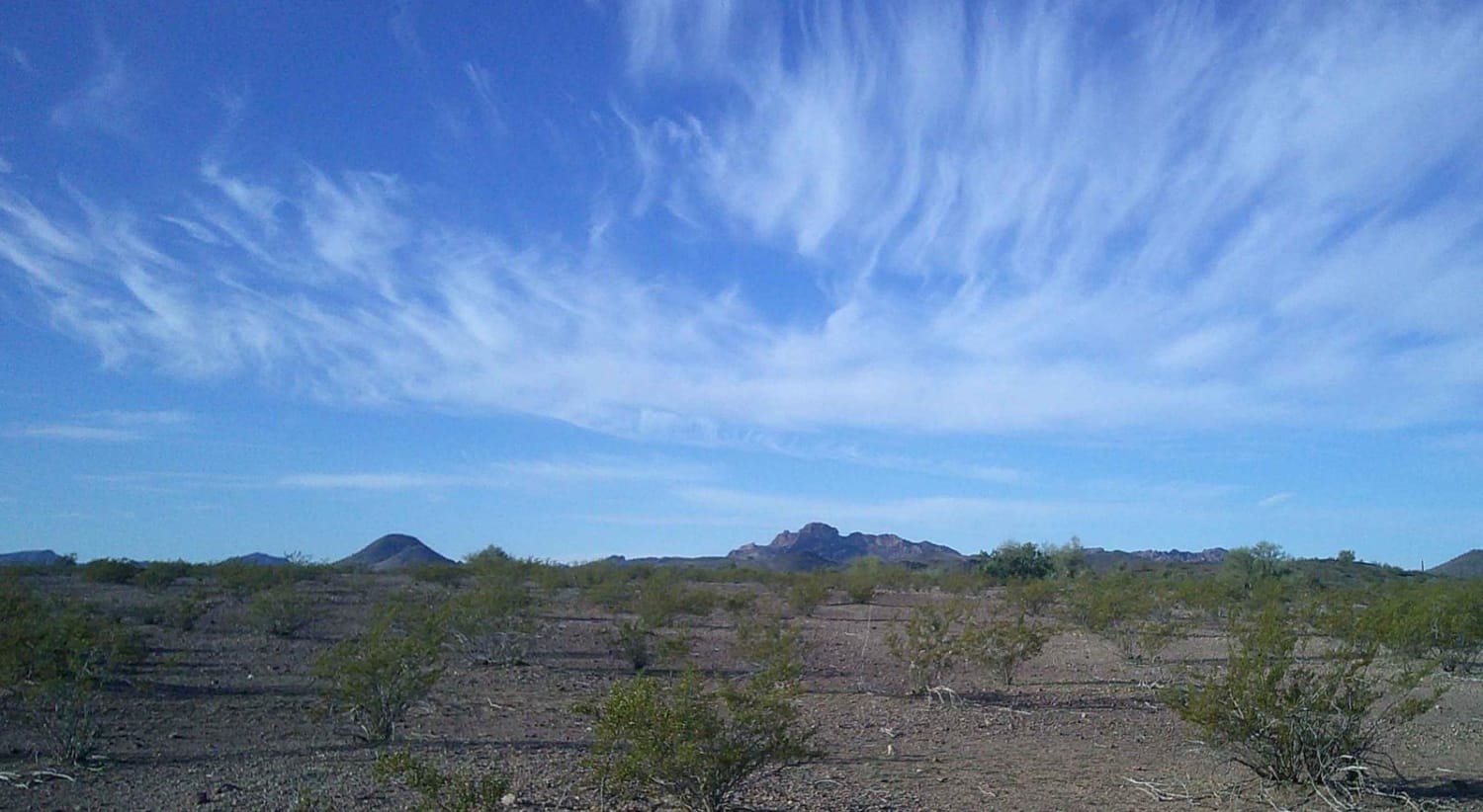
Rear Hitter #8219

Rear Hitter #8219

Rear Hitter Road Number 8219 is a multiple mixed surface road consisting of rock, gravel, and sand. It runs through Bureau Land Management. This area is prone to flooding, some sections of this road either…
Learn more about Rear Hitter #8219
Total Miles
7.6
Tech Rating
3 Easy
Best Time
Summer, Fall, Spring
Learn more about Red Bluff East-East Spur
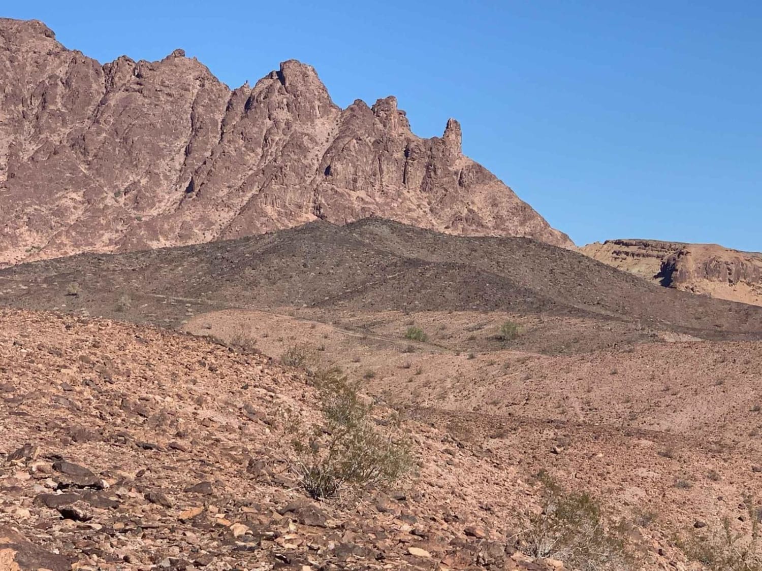
Red Bluff East-East Spur

Red Bluff East-East Spur

This is a cool route with many pretty desert mountain vistas. It has fairly rugged terrain to walk about and explore, with great desert views galore. The route is fairly easy to negotiate for those…
Learn more about Red Bluff East-East Spur
Total Miles
2.8
Tech Rating
4 Moderate
Best Time
Spring, Summer, Fall
Learn more about Red Bluff West Spur
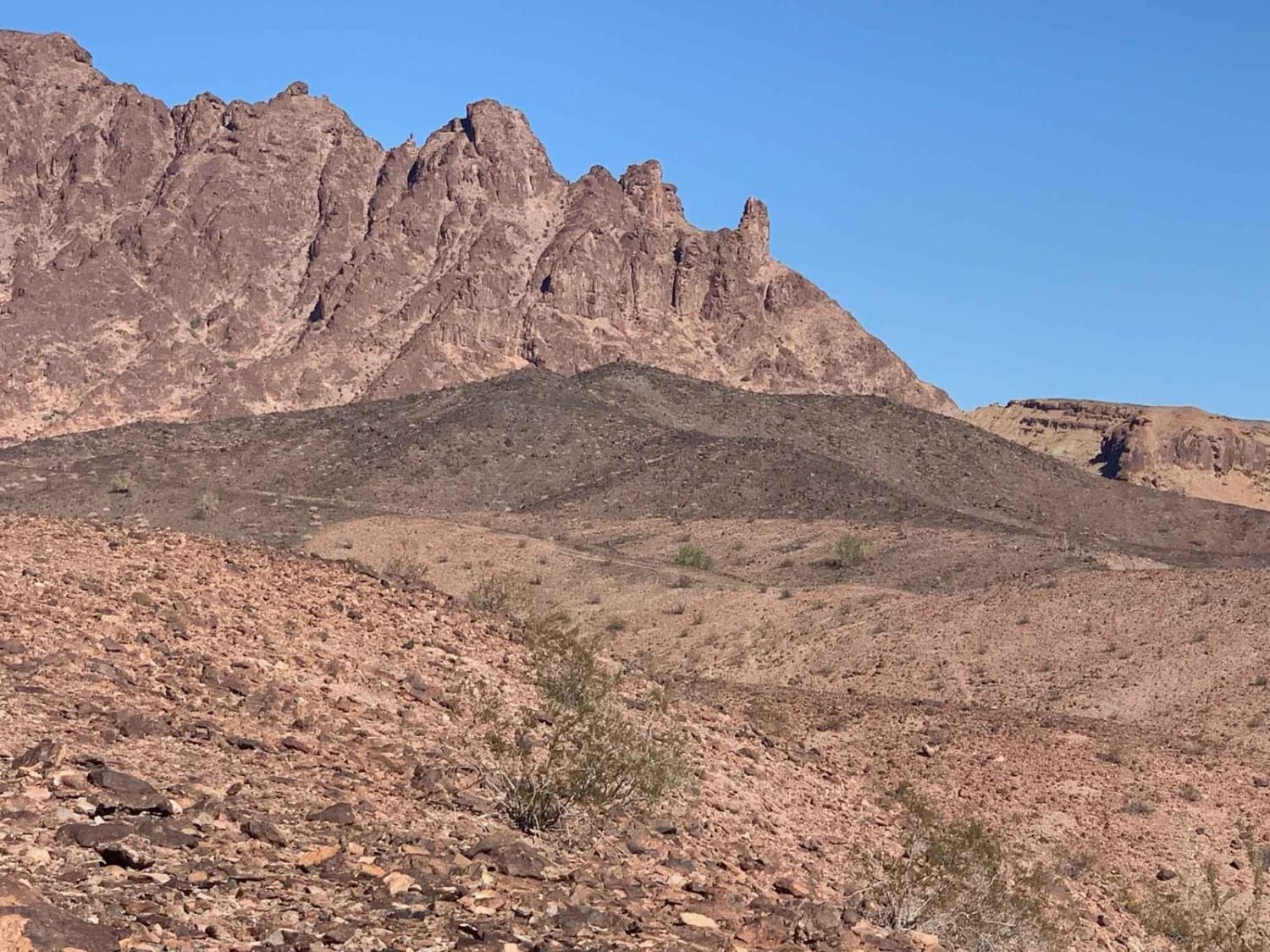
Red Bluff West Spur

Red Bluff West Spur

This is a cool, moderately difficult spur route to even cooler mountainous desert scenery. There is rocky, hilly desert terrain to walk about and explore, with great desert views galore, including moderate hills to climb…
Learn more about Red Bluff West Spur
Total Miles
4.5
Tech Rating
3 Easy
Best Time
Spring, Summer, Fall, Winter
Learn more about Red Butte Road
Red Butte Road

Red Butte Road

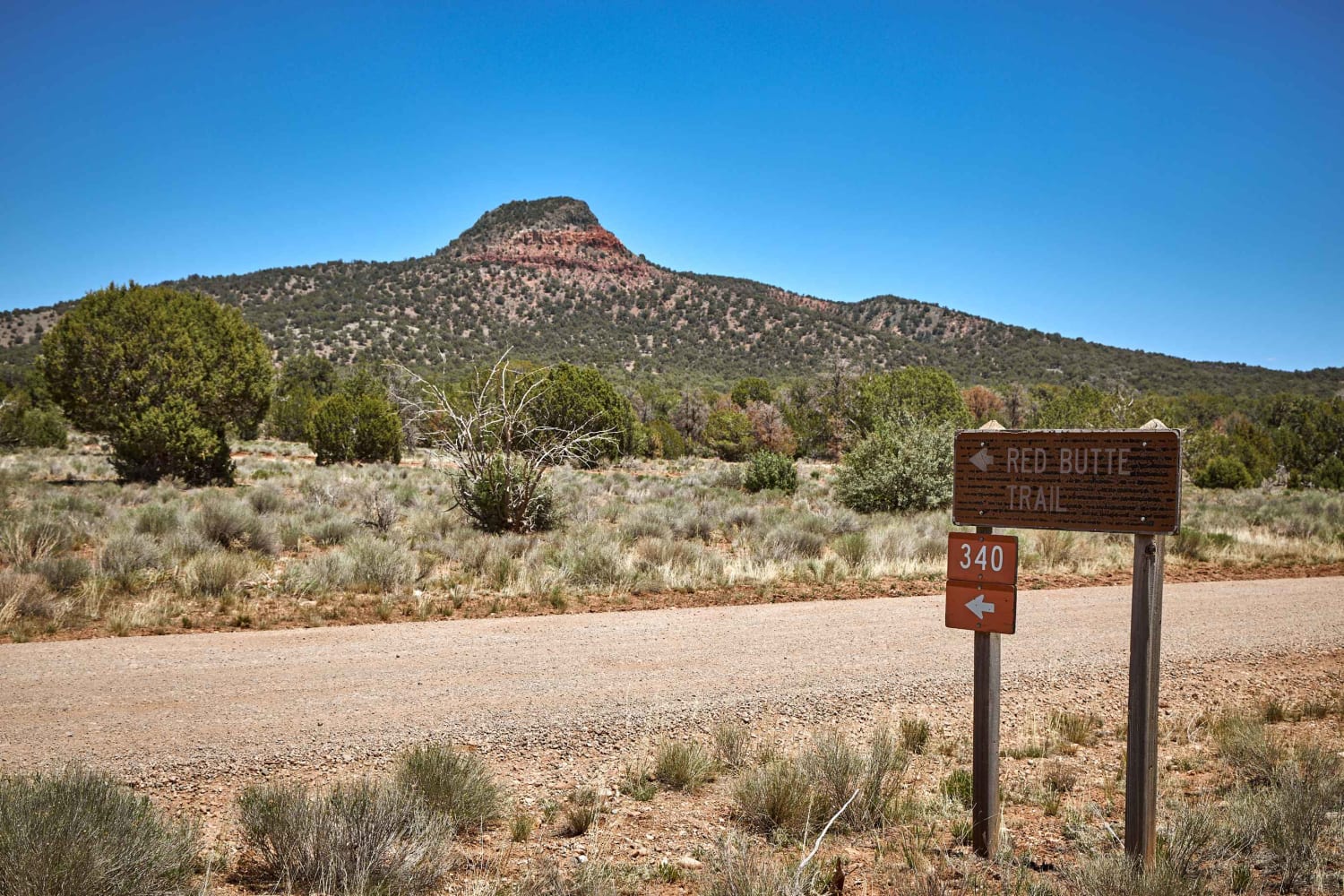
Red Butte Road is a pretty single-lane dirt road that leads to the trailhead of Red Butte. For travelers looking forward to seeing the South Rim of the Grand Canyon, this is the feature that…
Learn more about Red Butte Road
Total Miles
2.5
Tech Rating
1 Easy
Best Time
Spring, Summer, Fall
Learn more about Red Clay Way
Red Clay Way

Red Clay Way

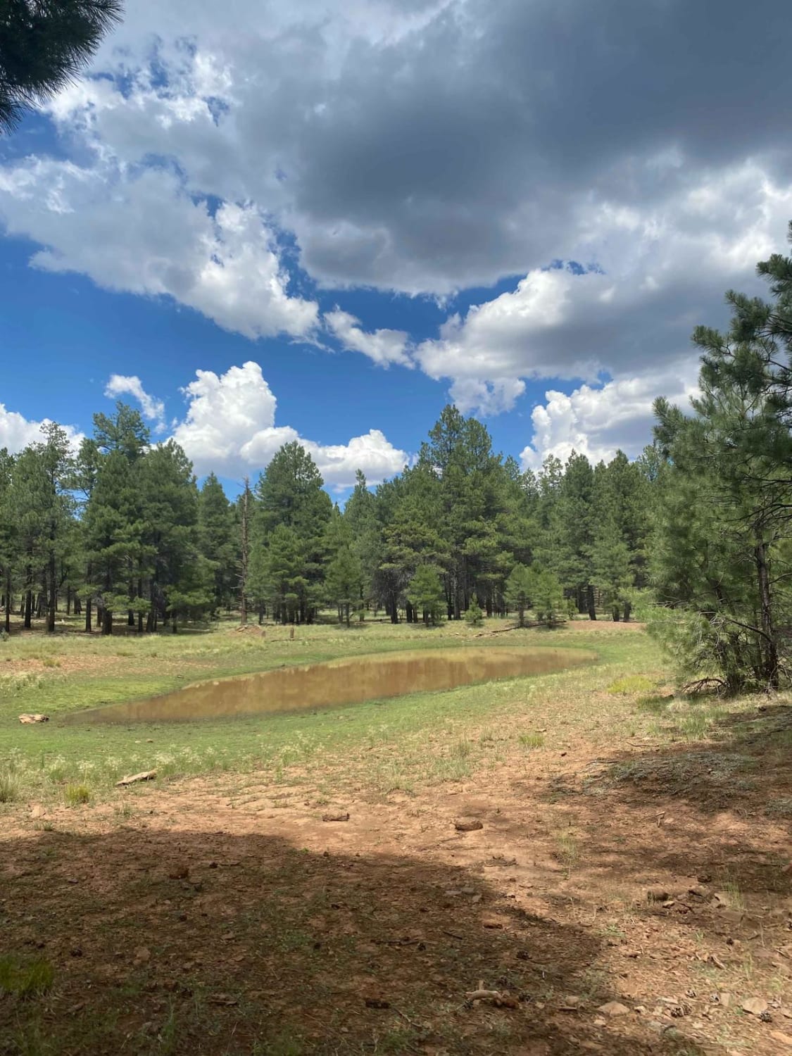
This is a fun point-to-point trail under the pines of the Coconino National Forest near Munds Park, AZ, that can be utilized as a connector to other trails in the area. This 3.5-mile gradual incline…
Learn more about Red Clay Way
Total Miles
3.4
Tech Rating
3 Easy
Best Time
Spring, Summer, Fall
Learn more about Red Cloud Falls
Red Cloud Falls

Red Cloud Falls

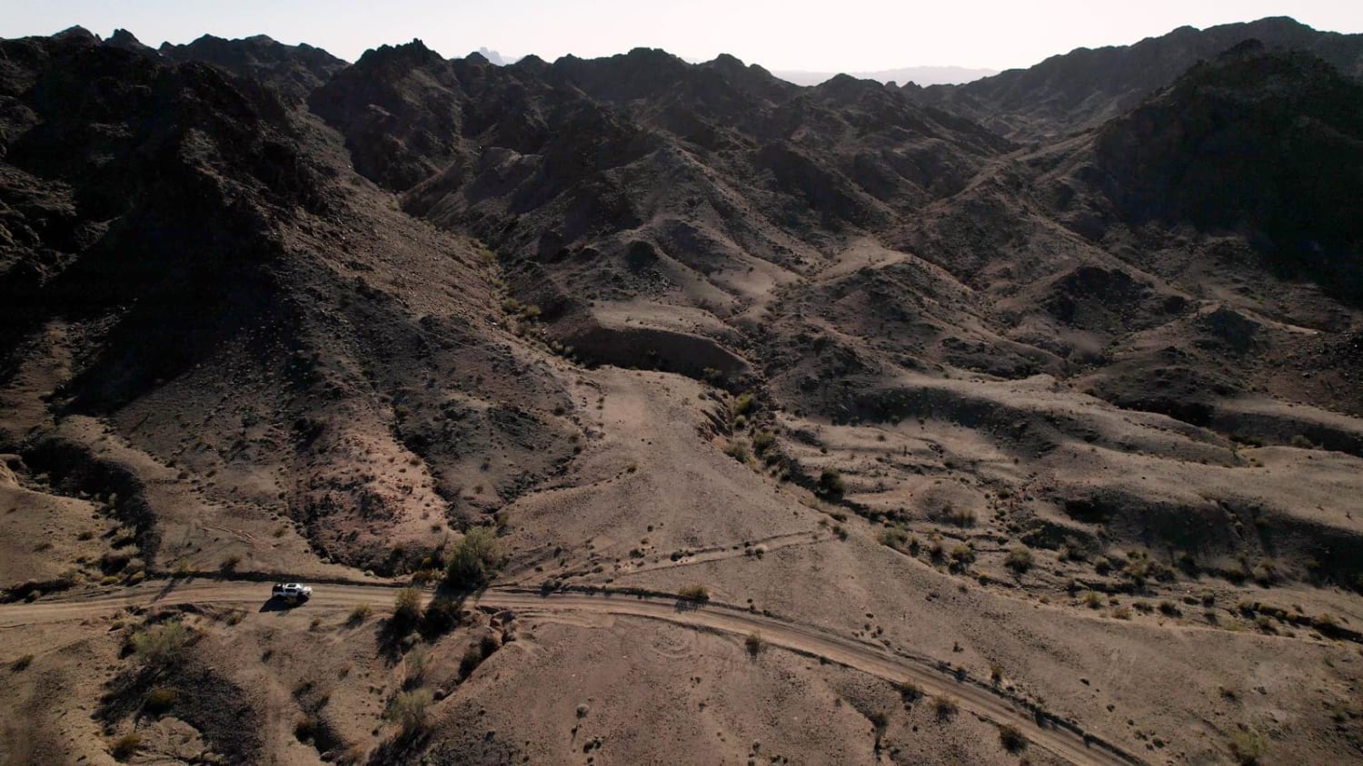
This trail is the other way to take you out of the mountains either to or from Red Cloud Mine. The main obstacle on this trail is called The Falls. The Falls is an obstacle…
Learn more about Red Cloud Falls
Total Miles
15.5
Tech Rating
5 Moderate
Best Time
Spring, Fall
Learn more about Red Cloud Mine
Red Cloud Mine

Red Cloud Mine

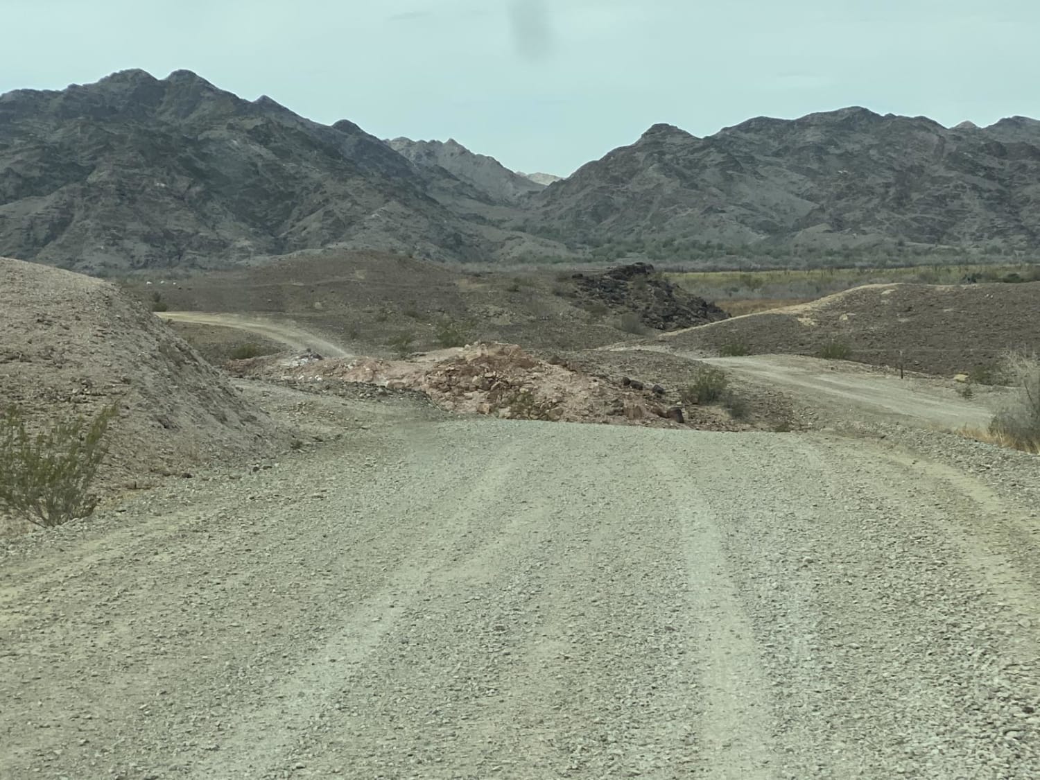
Easy ride out and back, but a bit bumpy at times. The trail partially goes through Yuma Proving Grounds, follow signs and leave unexplored ammunition alone. 4WD is preferred, but not absolutely necessary if you…
Learn more about Red Cloud Mine
Total Miles
13.9
Tech Rating
3 Easy
Best Time
Spring, Fall, Winter
Learn more about Red Hat Vista Trail
Red Hat Vista Trail

Red Hat Vista Trail

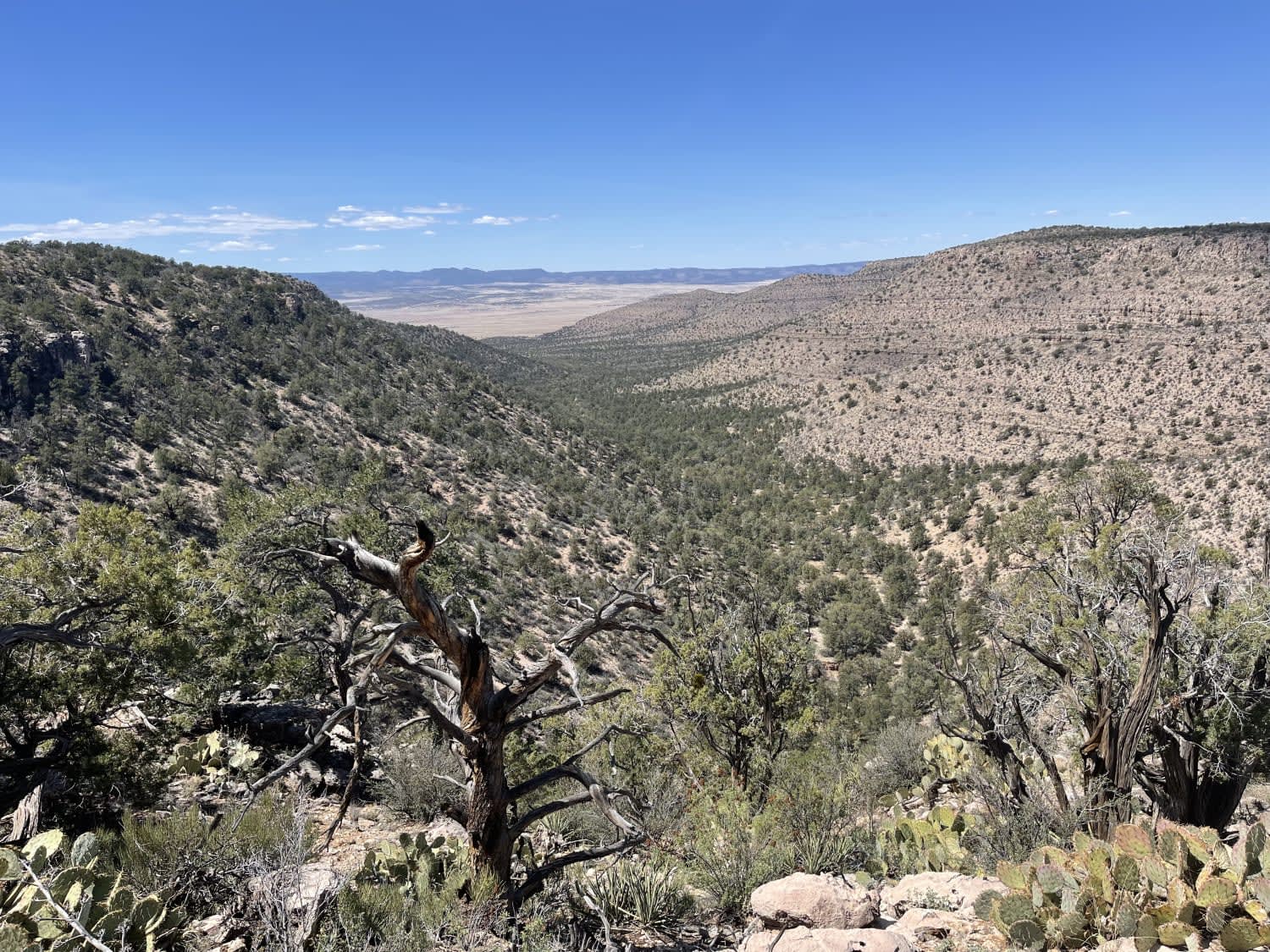
This short, challenging, out and back passes by the Massive Red Tank and a few very remote, dispersed camp spots with fire rings. There are many long loose rocky hill climbs, a few off-camber washouts,…
Learn more about Red Hat Vista Trail
Total Miles
2.2
Tech Rating
4 Moderate
Best Time
Fall, Spring
Learn more about Red Hill Road
Red Hill Road

Red Hill Road

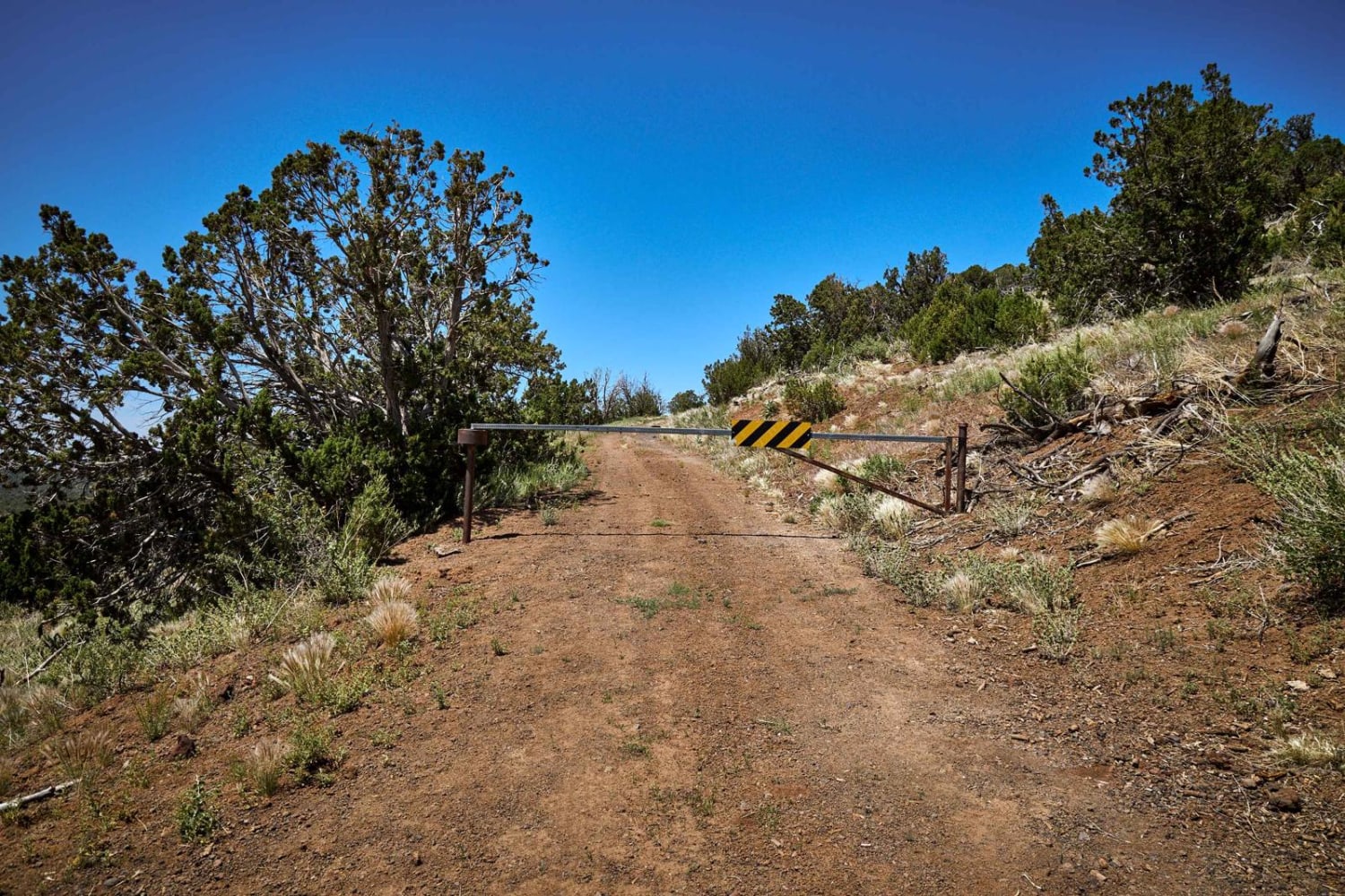
Red Hill Rd starts down in the beautiful prairie on the Coconino Plateau. As you head west, you'll climb through the mixed pine to the forested Red Hill. The road narrows to a single lane…
Learn more about Red Hill Road
Total Miles
3.8
Tech Rating
2 Easy
Best Time
Summer, Spring, Fall
Learn more about Red Lake to Pipeline
Red Lake to Pipeline

Red Lake to Pipeline

The Red Lake to Pipeline Trail is a one-lane trail. At points along this trail, there are deep mud ruts filled with rock that make this a less-than-smooth trail. The trail does traverse some hills,…
Learn more about Red Lake to Pipeline
Total Miles
3.6
Tech Rating
2 Easy
Best Time
Spring, Summer, Fall

The onX Offroad Difference

onX Offroad combines trail photos, descriptions, difficulty ratings, width restrictions, seasonality, and more in a user-friendly interface. Available on all devices, with offline access and full compatibility with CarPlay and Android Auto. Discover what you’re missing today!