Off-Road Trails in Arizona

Discover off-road trails in Arizona

Learn more about Sacramento Wash Trail
Sacramento Wash Trail

Sacramento Wash Trail

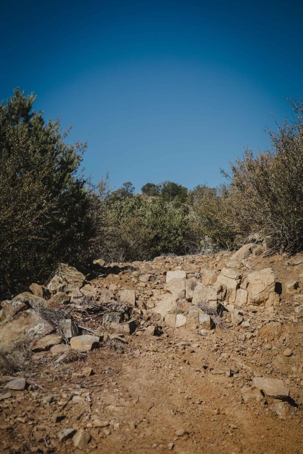
This is an out-and-back trail that starts from Highway 93. It is off the roadside, so you'll miss it if you're not watching for the trail entrance. A wire gate is across the beginning of…
Learn more about Sacramento Wash Trail
Total Miles
2.2
Tech Rating
2 Easy
Best Time
Spring, Fall
Learn more about Saddle Mountain Loop
Saddle Mountain Loop

Saddle Mountain Loop

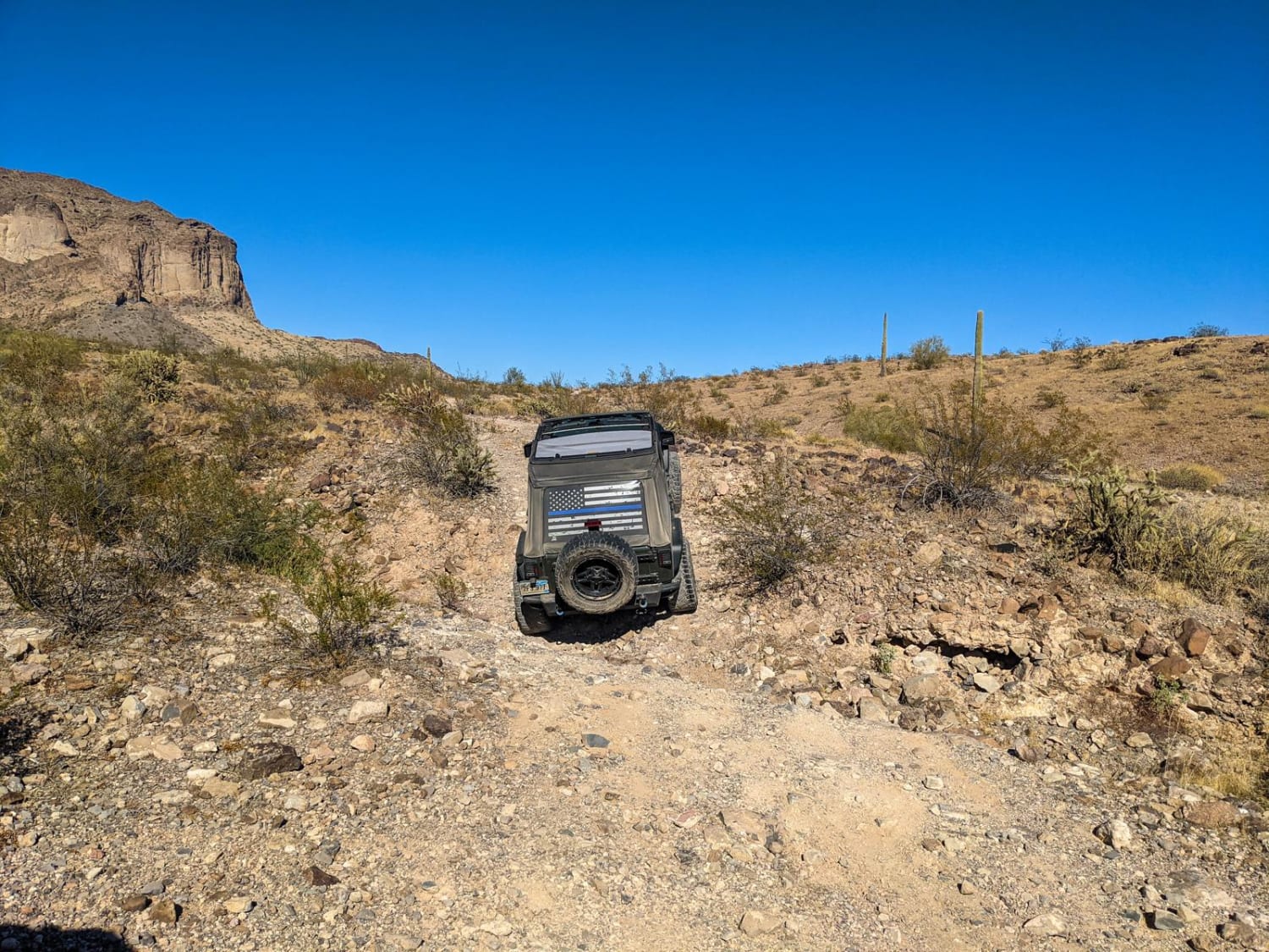
Saddle Mountain is a BLM area near Tonopah, AZ. It's a scenic trail that has many dispersed camping opportunities. The trail loops completely around Saddle Mountain. There's a hiking trail leaving from this trail to…
Learn more about Saddle Mountain Loop
Total Miles
12.9
Tech Rating
3 Easy
Best Time
Spring, Fall, Winter
Learn more about Saddle Mountain/Dog Saddle
Saddle Mountain/Dog Saddle

Saddle Mountain/Dog Saddle

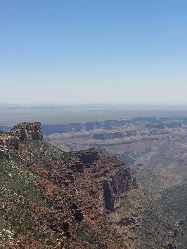
This is a gravel class 2 trail that starts as large enough for two vehicles and as you continue narrows to one vehicle length. The route remains fairly flat with left and right turns. While…
Learn more about Saddle Mountain/Dog Saddle
Total Miles
12.5
Tech Rating
2 Easy
Best Time
Spring, Summer, Fall
Learn more about SaddleMountain
SaddleMountain

SaddleMountain

Saddle Mountain is a one-and-a-half-lane wide gravel road that goes from the valley floor all the way to the summit of Saddle Mountain. There is some erosion and water damage along this road, but nothing…
Learn more about SaddleMountain
Total Miles
4.0
Tech Rating
2 Easy
Best Time
Spring, Summer, Fall
Learn more about Saguaro Arm Valley
Saguaro Arm Valley

Saguaro Arm Valley

This is a beautiful trail through a dense valley of saguaro cacti. The trail is generally easy; however, there are a few steep transitions and ledges to cross a few washes. There are also a…
Learn more about Saguaro Arm Valley
Total Miles
2.1
Tech Rating
2 Easy
Best Time
Spring, Fall, Winter
Learn more about Saguaro Way
Saguaro Way

Saguaro Way

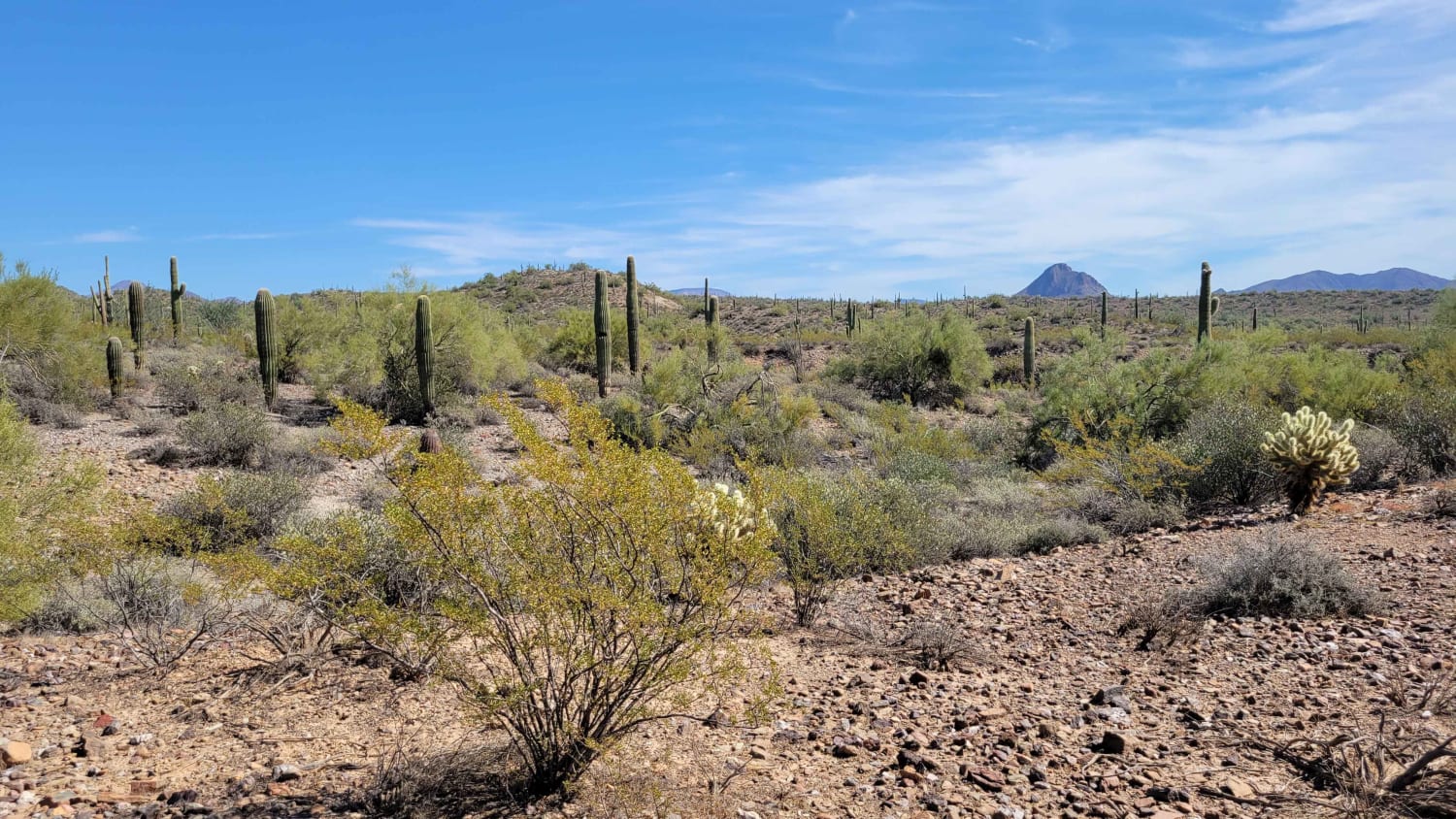
This section of trail weaves its way through the beautiful desert and leads to a shooting area at the North end. It also connects to a handful of other trails. There are a couple of…
Learn more about Saguaro Way
Total Miles
2.4
Tech Rating
2 Easy
Best Time
Winter, Fall, Summer, Spring
Learn more about Saint George Canyon 1034
Saint George Canyon 1034

Saint George Canyon 1034

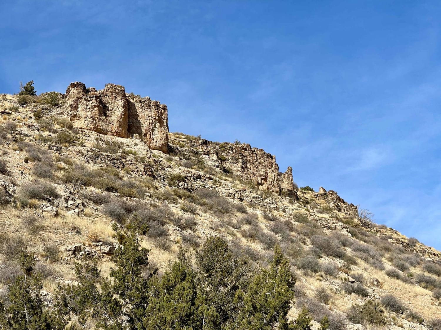
This trail is a solid graded route and appears to be maintained by the cattle ranchers whose herds graze the area. The washouts aren't too deep, and there are plenty of wider spots to pass…
Learn more about Saint George Canyon 1034
Total Miles
6.6
Tech Rating
3 Easy
Best Time
Spring, Fall
Learn more about Salida
Salida

Salida

Salida is a challenging 50-inch trail that is very rocky for the entire length of the trail. It's mostly two-track width, with a few sections that are almost too narrow for an ATV. The trail…
Learn more about Salida
Total Miles
4.1
Tech Rating
5 Moderate
Best Time
Spring, Fall
Learn more about Salida Connection
Salida Connection

Salida Connection

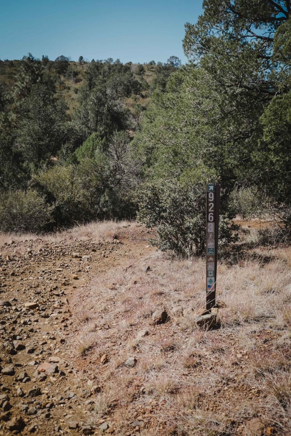
Salida Connection is an intermediate 50-inch trail in the Green Gulch Trail System near Prescott, Arizona. It's a wider two-track, with sections of loose dirt and rock and some steep ascents and descents. There's a…
Learn more about Salida Connection
Total Miles
2.6
Tech Rating
4 Moderate
Best Time
Spring, Fall
Learn more about Salt River Canyon
Salt River Canyon

Salt River Canyon

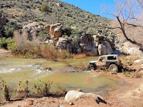
A very scenic and (usually) easy trip from US 60 north of Globe down Salt River Canyon and through a very beautiful remote country to Cherry Creek and Young Road. Most of this trail is…
Learn more about Salt River Canyon
Total Miles
40.4
Tech Rating
4 Moderate
Best Time
Summer, Fall
Learn more about Sand Draw
Sand Draw

Sand Draw

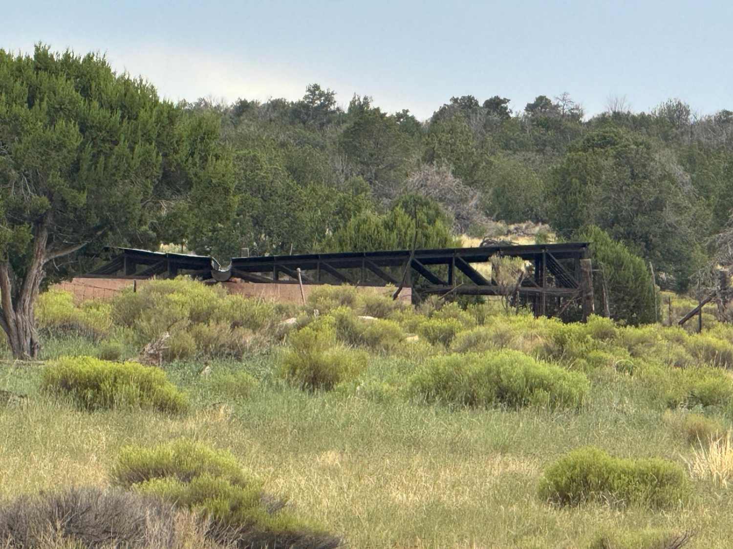
This route can start out fine and smooth just grass. Then it suddenly turns into what on this day was a 12-degree roll to the side with the best line I could find. Other spots…
Learn more about Sand Draw
Total Miles
4.4
Tech Rating
4 Moderate
Best Time
Spring, Summer, Fall
Learn more about Sand Hollow Trail #2042
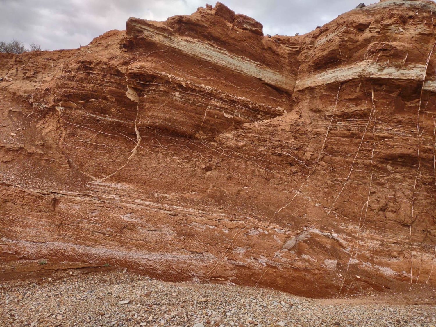
Sand Hollow Trail #2042

Sand Hollow Trail #2042

Trail 2042 is just over 5.5 miles of primarily sandy and/or rocky washes. It runs north and south between the Honeymoon Trail (Extended) and the Temple Trail North. It's definitely the trail less traveled and…
Learn more about Sand Hollow Trail #2042
Total Miles
5.7
Tech Rating
3 Easy
Best Time
Spring, Summer, Fall, Winter
Learn more about Sand Hollow Trail #2043
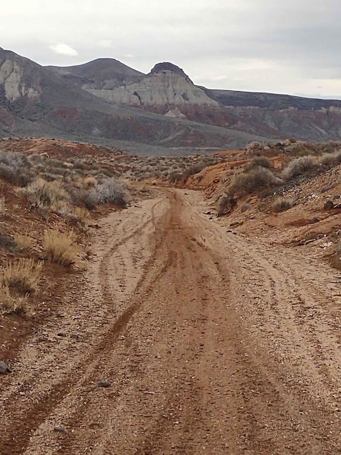
Sand Hollow Trail #2043

Sand Hollow Trail #2043

We're always on the lookout for trails in the Sand Hollow area that are wide enough for SXSs. Sometimes we arrive at one that the BLM info says is full width, only to find that…
Learn more about Sand Hollow Trail #2043
Total Miles
2.5
Tech Rating
2 Easy
Best Time
Spring, Summer, Fall, Winter
Learn more about Sand Wash #527
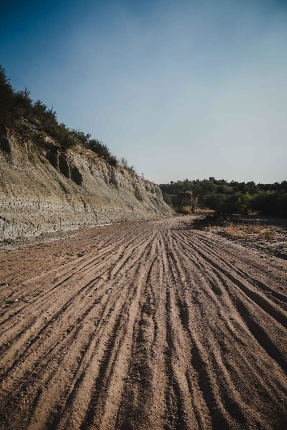
Sand Wash #527

Sand Wash #527

The Sand Wash Trail is an easy sand wash for the entire 4.5 miles. The wash has small loose bits of gravel in the wash but no big rocks. It's easy to ride, with the…
Learn more about Sand Wash #527
Total Miles
4.4
Tech Rating
2 Easy
Best Time
Spring, Fall, Winter
Learn more about Sandbowl OHV Area
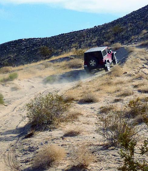
Sandbowl OHV Area

Sandbowl OHV Area

The north section of this trail features beautiful,vast sand dunes. For more technical terrain, take the southern part of the route. There is a nice parking area with unloading ramps and picnic tables. Camping is…
Learn more about Sandbowl OHV Area
Total Miles
1.5
Tech Rating
6 Moderate
Best Time
Fall, Winter, Spring
Learn more about Sandhill Loop - NM1084
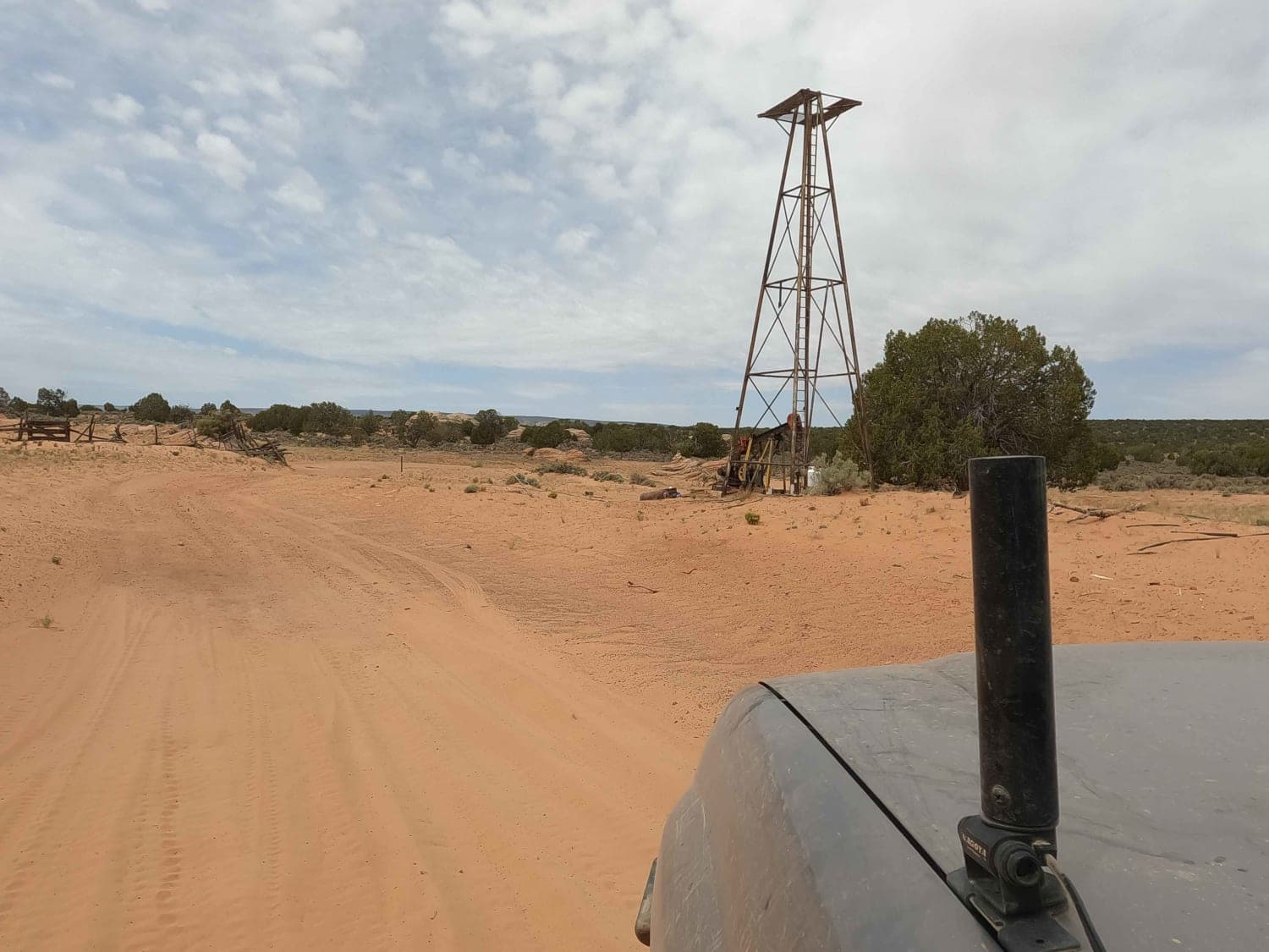
Sandhill Loop - NM1084

Sandhill Loop - NM1084

This is a sand and sandstone rock road connecting Poverty Flats Ranch to NM1323 road to access White Pocket. This road starts out easy and stable but the sand gets deeper as it approaches White…
Learn more about Sandhill Loop - NM1084
Total Miles
2.5
Tech Rating
2 Easy
Best Time
Spring, Fall
Learn more about Santa Maria River Run
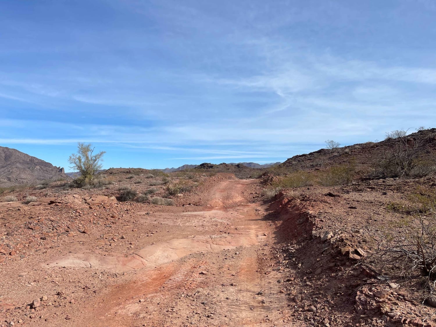
Santa Maria River Run

Santa Maria River Run

This trail runs along the Santa Maria riverbed. Most of the year, it will be a dry wash, but be aware of flash floods during the rainy season or running water during a really wet…
Learn more about Santa Maria River Run
Total Miles
6.3
Tech Rating
5 Moderate
Best Time
Spring, Fall, Winter
Learn more about Sawtooth Mountain Loop
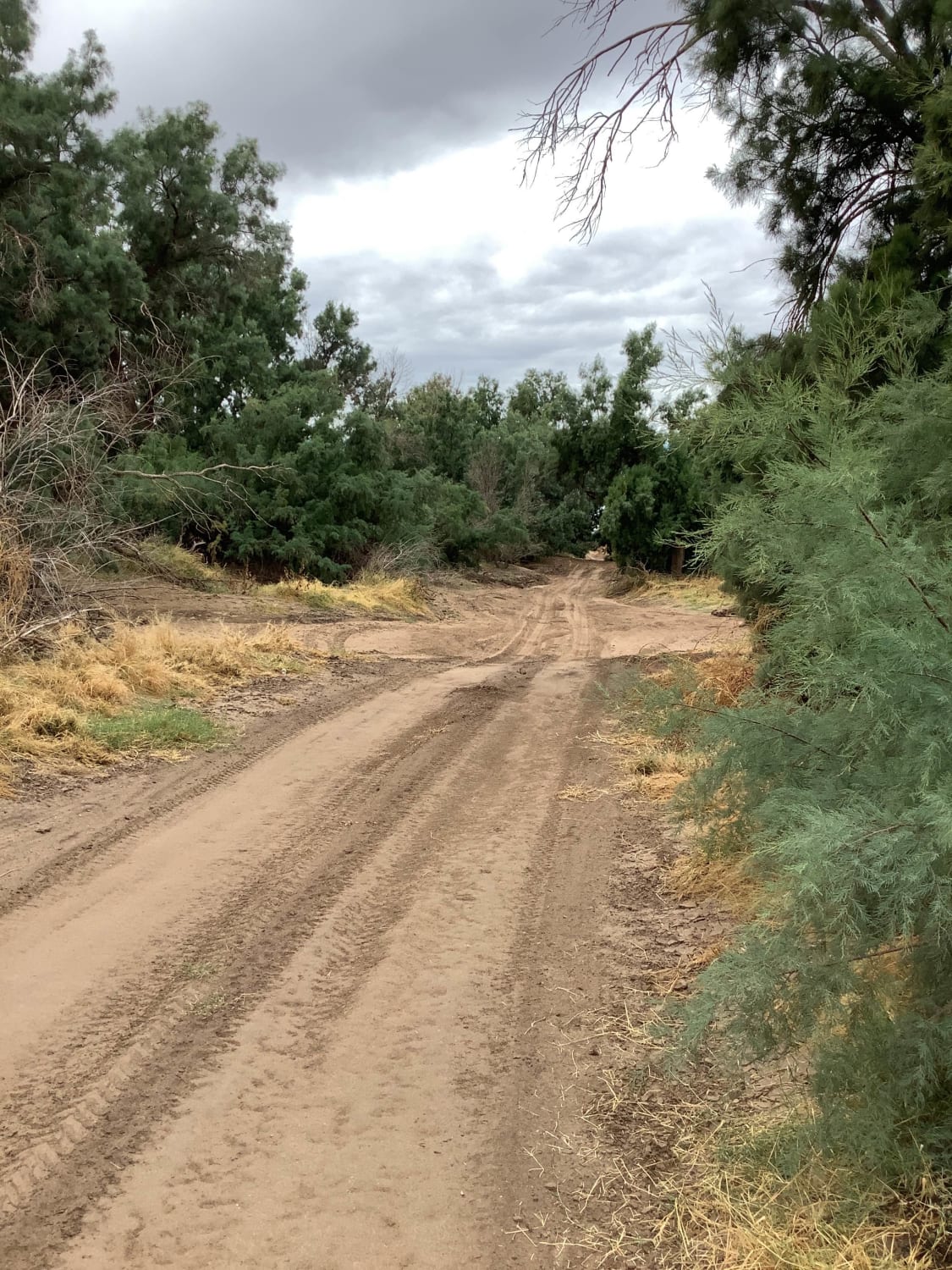
Sawtooth Mountain Loop

Sawtooth Mountain Loop

AZ State Trust permit required. This scenic trail circles around the Sawtooth Mountains. It is on BLM and AZ State Trust and skirts private land. You will experience forests of cholla, saguaro, and large pear…
Learn more about Sawtooth Mountain Loop
Total Miles
23.9
Tech Rating
2 Easy
Best Time
Spring, Fall, Winter
Learn more about Sawtooth Powerline Trail
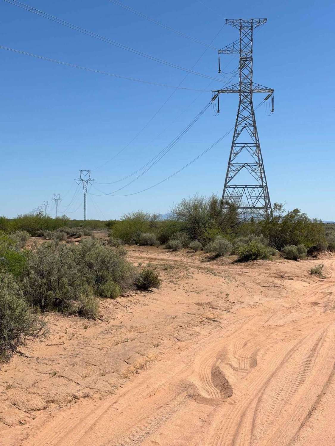
Sawtooth Powerline Trail

Sawtooth Powerline Trail

This powerline trail provides access to the West Silverbell Mountain Loop from the Sawtooth Mountain Loop. Other side trails give access to the Silverbell Sasco loop as well. This is a massive backcountry area with…
Learn more about Sawtooth Powerline Trail
Total Miles
5.7
Tech Rating
2 Easy
Best Time
Fall, Winter, Spring
Learn more about SB Point Road
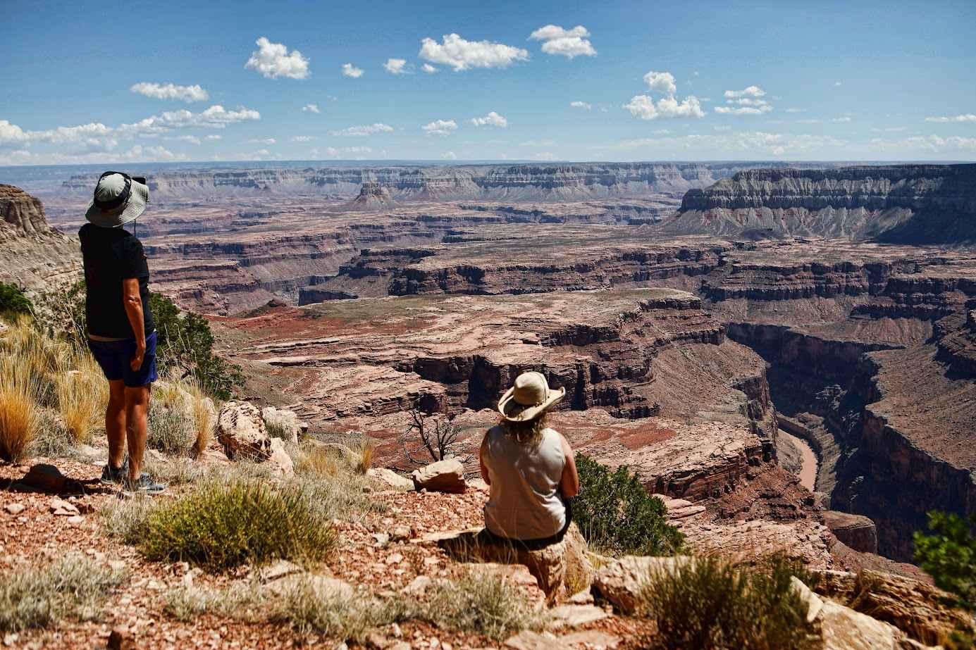
SB Point Road

SB Point Road

SB Point Road is a 20.3-mile point-to-point trail rated 3 of 10 located on the North Rim of the Grand Canyon and within the Grand Canyon National Park. The trailhead starts on Mount Trumbull Road/County…
Learn more about SB Point Road
Total Miles
20.3
Tech Rating
3 Easy
Best Time
Spring, Summer, Fall

The onX Offroad Difference

onX Offroad combines trail photos, descriptions, difficulty ratings, width restrictions, seasonality, and more in a user-friendly interface. Available on all devices, with offline access and full compatibility with CarPlay and Android Auto. Discover what you’re missing today!