Off-Road Trails in Arizona

Discover off-road trails in Arizona

Learn more about Wrangler's Nest - Difficult Wash
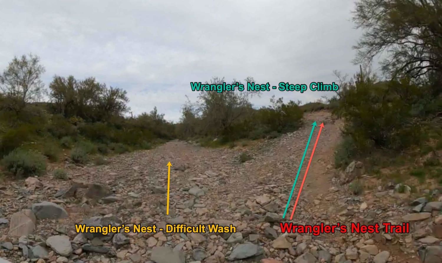
Wrangler's Nest - Difficult Wash

Wrangler's Nest - Difficult Wash

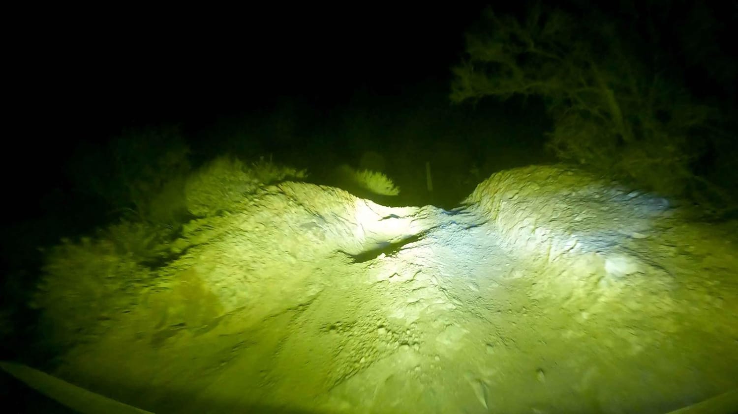
Options Options... Left, Right, Center? This route takes you LEFT of the Steep Climb Hill however this is no cakewalk alternative. This route includes multiple terrains, ledges, pits, and boulders. It will take some time…
Learn more about Wrangler's Nest - Difficult Wash
Total Miles
0.9
Tech Rating
5 Moderate
Best Time
Spring, Summer, Fall, Winter
Learn more about Wrangler's Nest - Steep Climb Obstacle
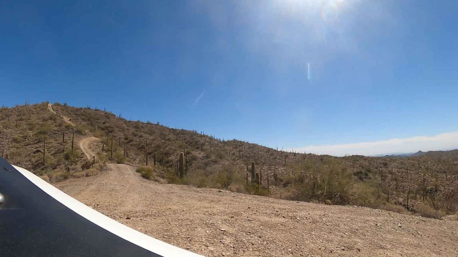
Wrangler's Nest - Steep Climb Obstacle

Wrangler's Nest - Steep Climb Obstacle

When you get to this intersection along Wrangler's Nest Trail, the trail offers three options. The road to the right is the published trail route. An alternate route is to the left heading into the…
Learn more about Wrangler's Nest - Steep Climb Obstacle
Total Miles
0.3
Tech Rating
5 Moderate
Best Time
Spring, Summer, Fall, Winter
Learn more about Wrangler's Nest Trail
Wrangler's Nest Trail

Wrangler's Nest Trail

This is a great technical trail with many obstacles available for more experienced drivers. Secluded in the desert between The CAP Canal North of Vistancia and Carefree Highway, this trail is filled with awesome washes,…
Learn more about Wrangler's Nest Trail
Total Miles
3.6
Tech Rating
5 Moderate
Best Time
Spring, Summer, Fall, Winter
Learn more about WWII Woman's Flight Marker Spur Trail for AZPT
WWII Woman's Flight Marker Spur Trail for AZPT

WWII Woman's Flight Marker Spur Trail for AZPT

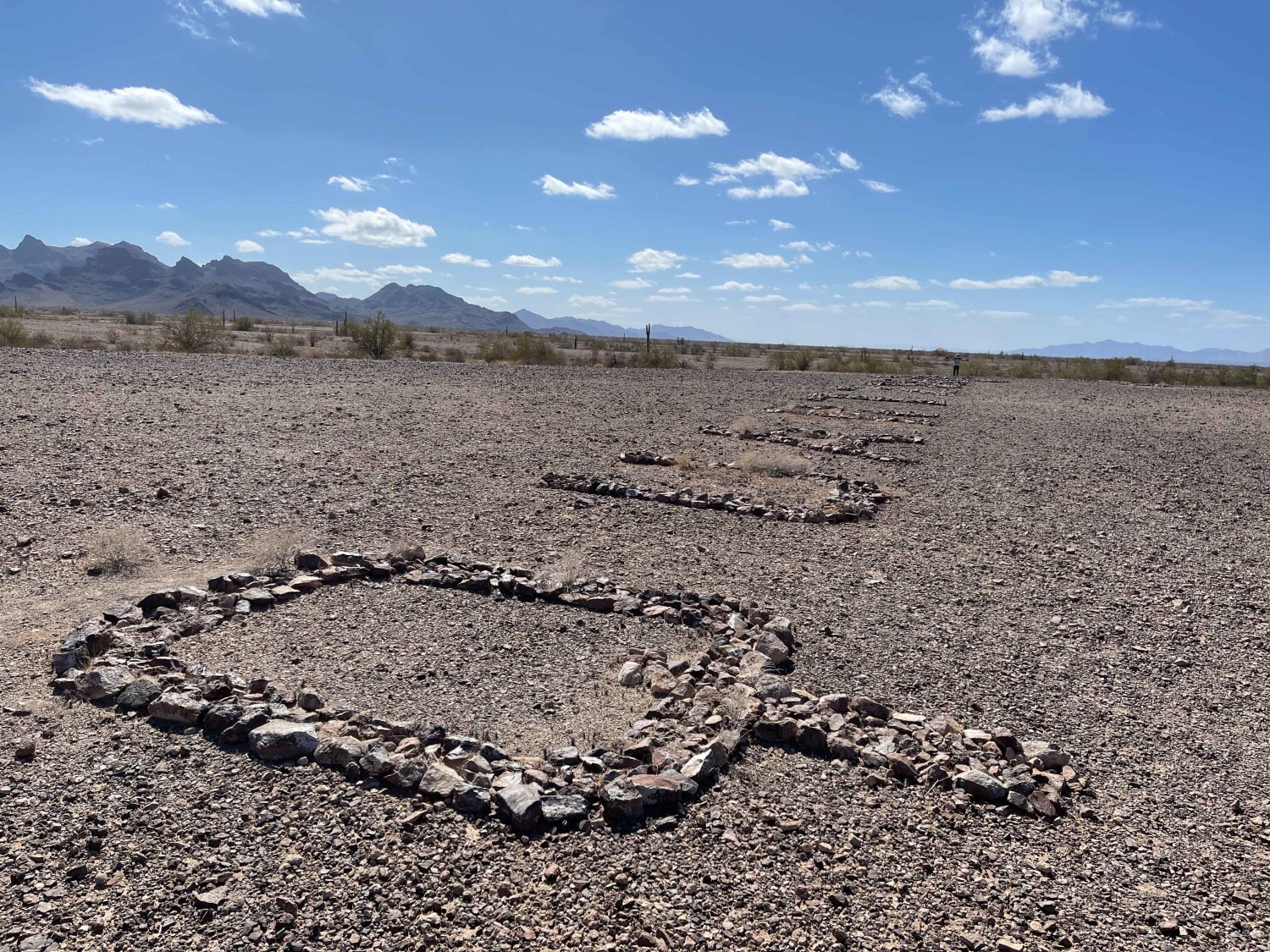
This is a spur trail from the AZPT to the WWII Woman's Flight Marker. It's a mostly easy trail with some washouts. This trail takes you to the fence that surrounds the markers, and you…
Learn more about WWII Woman's Flight Marker Spur Trail for AZPT
Total Miles
1.3
Tech Rating
3 Easy
Best Time
Spring, Fall, Winter
Learn more about X Marks The Spot
X Marks The Spot

X Marks The Spot

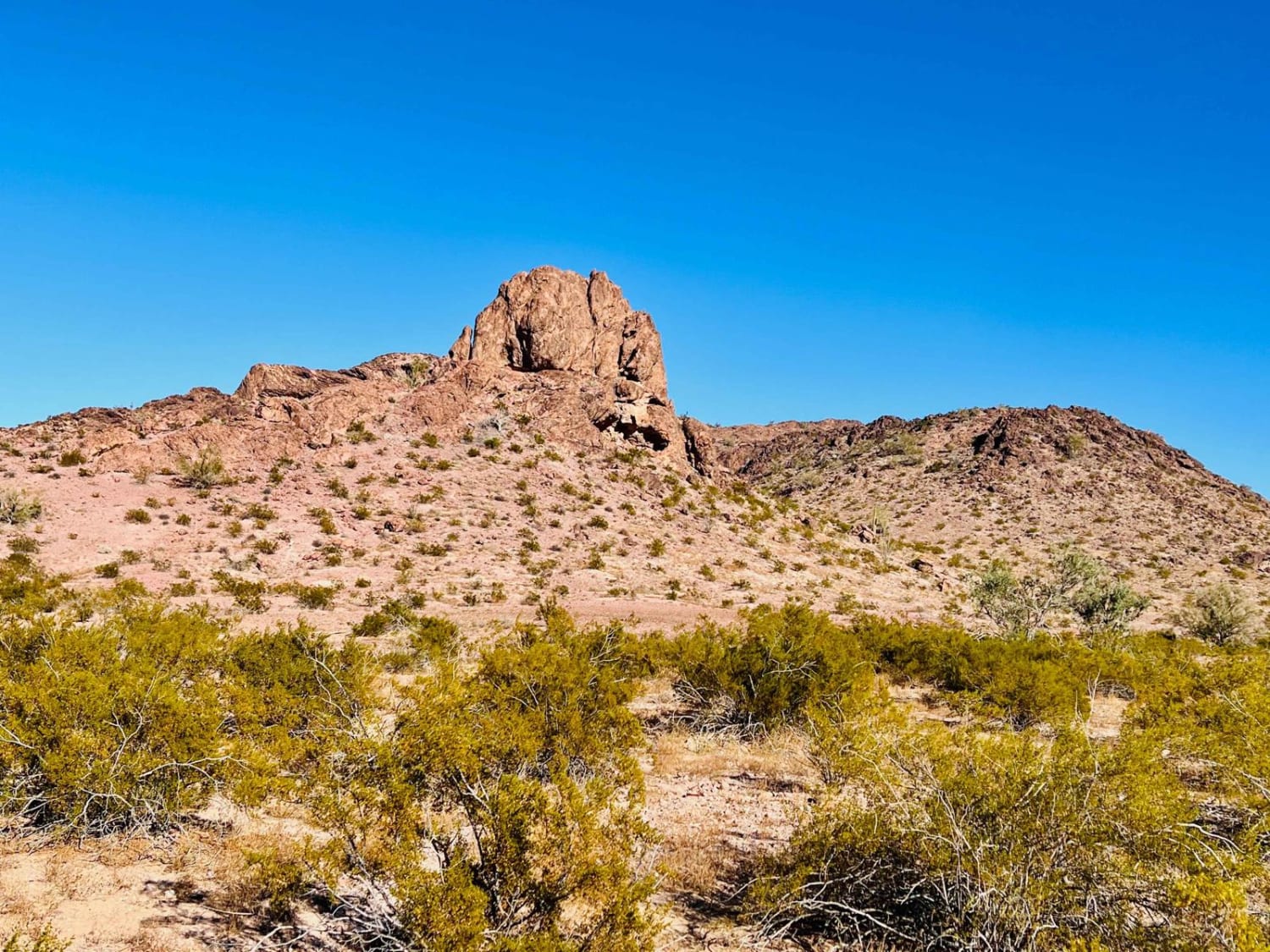
This fun trail leads back into the hills to some great camping spots and access to Eagle Mountain Wilderness. Be sure to keep your eyes peeled for survey markers along the way. Some frequent washouts…
Learn more about X Marks The Spot
Total Miles
6.2
Tech Rating
4 Moderate
Best Time
Fall, Winter, Spring
Learn more about X Marks the Spot from Linda Mine
X Marks the Spot from Linda Mine

X Marks the Spot from Linda Mine

This out-and-back trail connects the Linda Mine and Memorial to a neat dispersed campsite with a view over Bullhead City. The trail is technical and close to the mine. It has a couple of steep…
Learn more about X Marks the Spot from Linda Mine
Total Miles
1.9
Tech Rating
3 Easy
Best Time
Spring, Fall
Learn more about Yankee Doodle
Yankee Doodle

Yankee Doodle

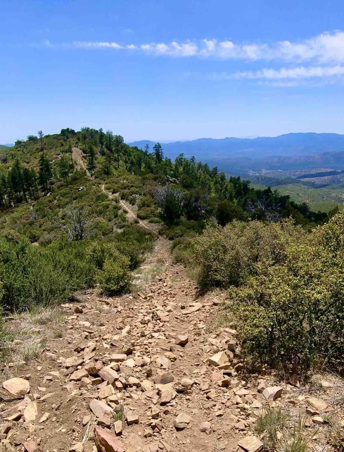
This is one super rocky trail with some great elevation changes. Expect rocky hill climbs with large step-ups. It's recommended that you enter this trail from the north and head south. You will experience some…
Learn more about Yankee Doodle
Total Miles
11.0
Tech Rating
6 Moderate
Best Time
Spring, Summer, Fall
Learn more about Yarbo Mine
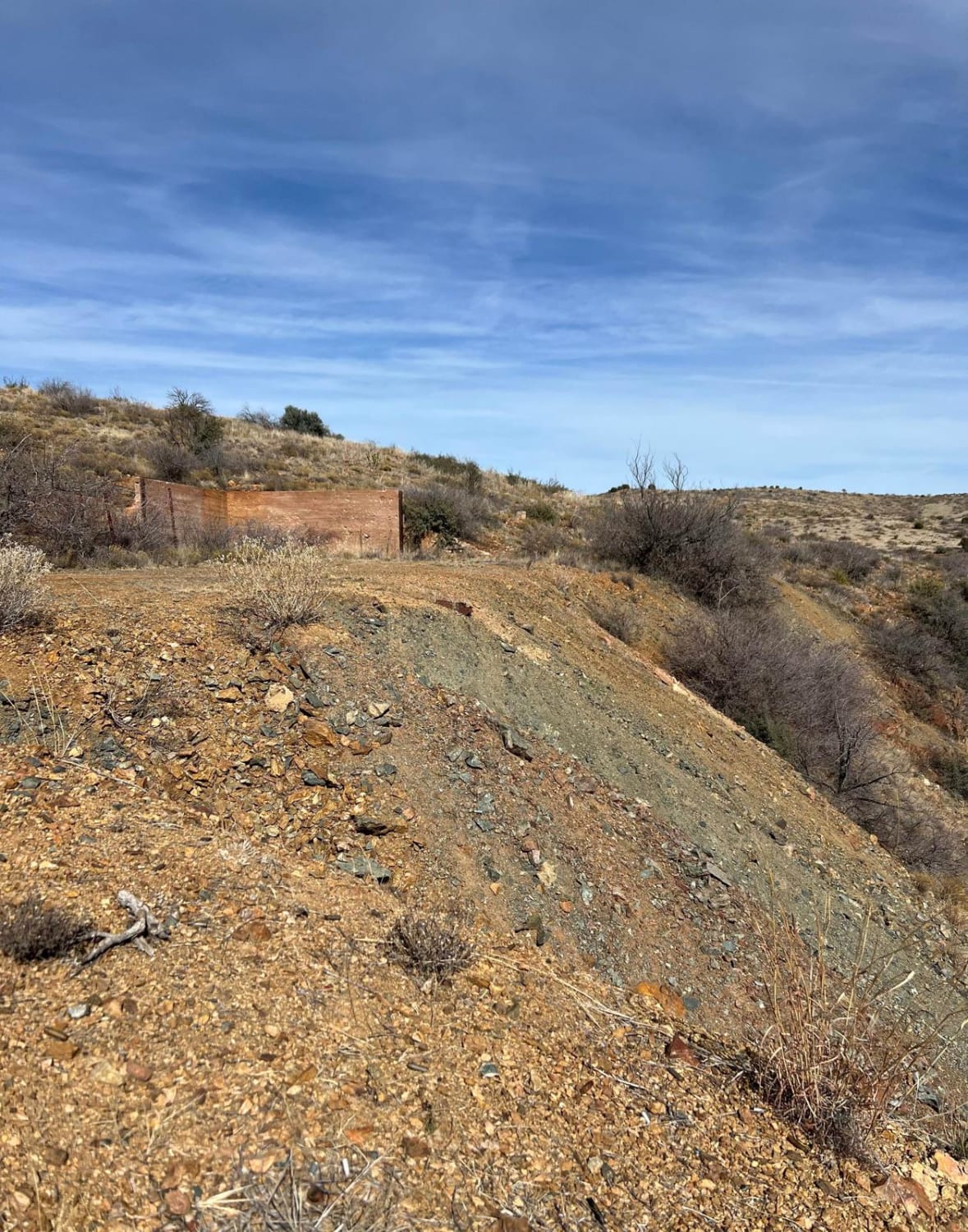
Yarbo Mine

Yarbo Mine

The trail to the remains of the Yarbo Mine is just shy of two miles long. This trail is very rocky when descending into Yarber Wash and the last 250 yards to the Yarbo Mine.…
Learn more about Yarbo Mine
Total Miles
1.8
Tech Rating
3 Easy
Best Time
Spring, Summer, Fall, Winter
Learn more about Ye Old 89
Ye Old 89

Ye Old 89

This trail follows the section south of the closed gate where the Old 89 passes through the concrete plant. It buzzes past fields of perfectly spaced Juniper trees, while jackrabbits dart across as you drive…
Learn more about Ye Old 89
Total Miles
4.9
Tech Rating
2 Easy
Best Time
Fall, Spring
Learn more about Ye Old Highway
Ye Old Highway

Ye Old Highway

This route appears to be once paved and well-traveled--possibly even an old section of Highway 60 between Salome and Wickenburg. It leads off the current highway back to a locked gate at the private property…
Learn more about Ye Old Highway
Total Miles
2.6
Tech Rating
2 Easy
Best Time
Spring, Fall, Winter
Learn more about Yellow Flower Creek Loop
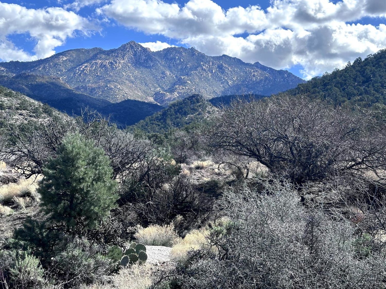
Yellow Flower Creek Loop

Yellow Flower Creek Loop

This 8.3-mile loop trail takes you into the Hualapai Foothills along the Yellow Flower Creek wash. The trail starts off the Hualapai Foothills trail. There is a lot of overgrowth on the trail and pin-stripping…
Learn more about Yellow Flower Creek Loop
Total Miles
8.3
Tech Rating
4 Moderate
Best Time
Spring, Summer, Fall, Winter
Learn more about Yellow Jacket Draw-211A
Yellow Jacket Draw-211A

Yellow Jacket Draw-211A

This fun trail meets up with a network of other trails. It twists through several old dry creekbeds. Some of the transitions are steep in and out. Keep an eye out for young trees bent…
Learn more about Yellow Jacket Draw-211A
Total Miles
3.6
Tech Rating
2 Easy
Best Time
Spring, Summer, Fall
Learn more about Yellow Jacket Loop
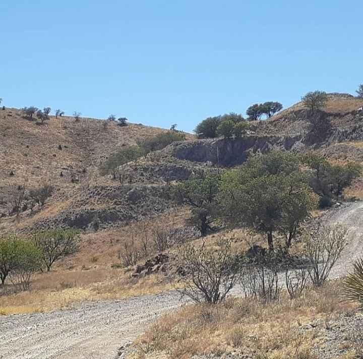
Yellow Jacket Loop

Yellow Jacket Loop

This is a great dirt trail with scenic views. Go right past the historic "Yellow Jacket Mine" and see all the equipment left there. Plenty of views of the surrounding hills and even all the…
Learn more about Yellow Jacket Loop
Total Miles
9.3
Tech Rating
3 Easy
Best Time
Summer, Spring
Learn more about Yellow Loop 9990
Yellow Loop 9990

Yellow Loop 9990

The Yellow Loop is a 60-inch trail that leaves the staging area by the training loops off of Moores Gulch Road and heads north. It has lots of ruts and uneven sections right from the…
Learn more about Yellow Loop 9990
Total Miles
1.7
Tech Rating
3 Easy
Best Time
Spring, Winter, Fall
Learn more about Yellowstone Passage
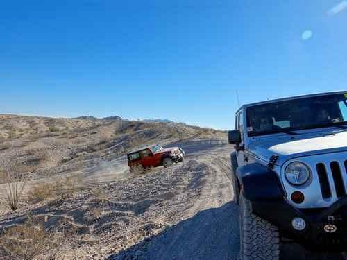
Yellowstone Passage

Yellowstone Passage

Lots of fun going up, down, and around short, steep hills. This is a fairly quick trail near Havasu Heights that is a lot of fun to drive. You can see part of this trail…
Learn more about Yellowstone Passage
Total Miles
16.5
Tech Rating
6 Moderate
Best Time
Summer, Fall
Learn more about Young Pondo Pine Path
Young Pondo Pine Path

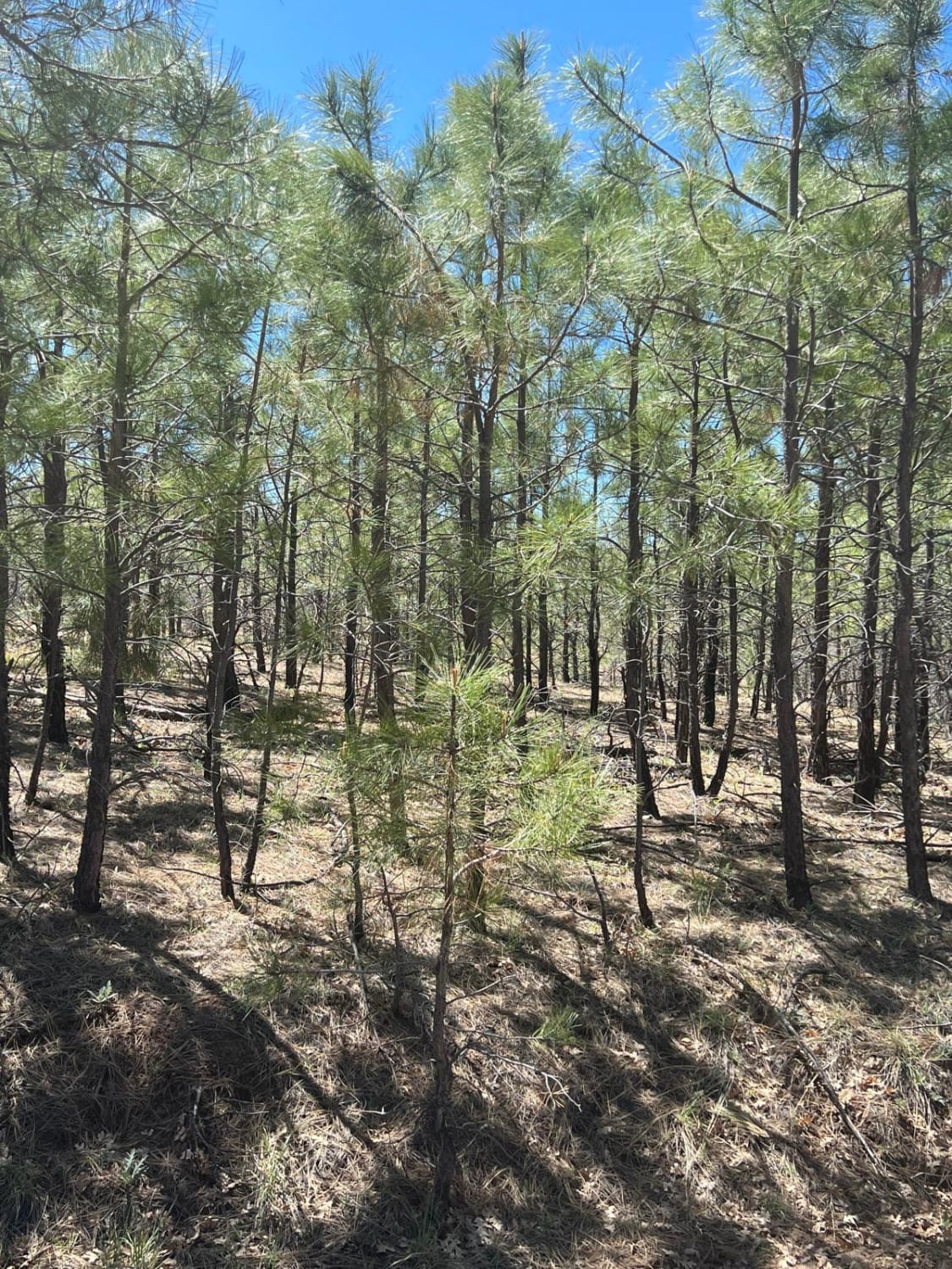
Young Pondo Pine Path

This route is heavily treed and lined with beautiful, young Ponderosa Pines. The area was ravaged by the Rodeo-Chemiski Fire in 2002 and the new trees are all about 20 years old. The route travels…
Learn more about Young Pondo Pine Path
Total Miles
3.0
Tech Rating
3 Easy
Best Time
Spring, Summer, Fall
Learn more about Zip Zap
Zip Zap

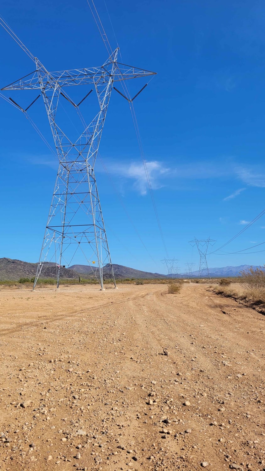
Zip Zap

This power line service trail connects to the Boulder Creek Ranch area. It's primarily easy in technicality, but the southern end of the trail does have a couple of short technical rock garden sections. There…
Learn more about Zip Zap
Total Miles
8.5
Tech Rating
4 Moderate
Best Time
Winter, Fall, Summer, Spring

The onX Offroad Difference

onX Offroad combines trail photos, descriptions, difficulty ratings, width restrictions, seasonality, and more in a user-friendly interface. Available on all devices, with offline access and full compatibility with CarPlay and Android Auto. Discover what you’re missing today!