Off-Road Trails in Arizona

Discover off-road trails in Arizona

Learn more about The Uphill
The Uphill

The Uphill

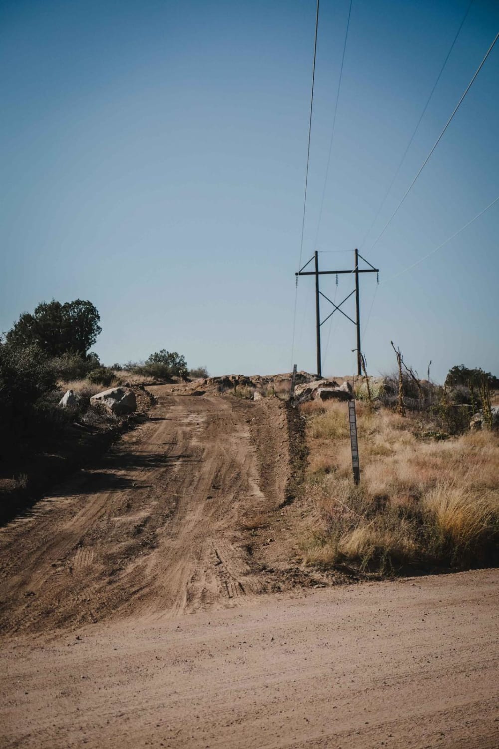
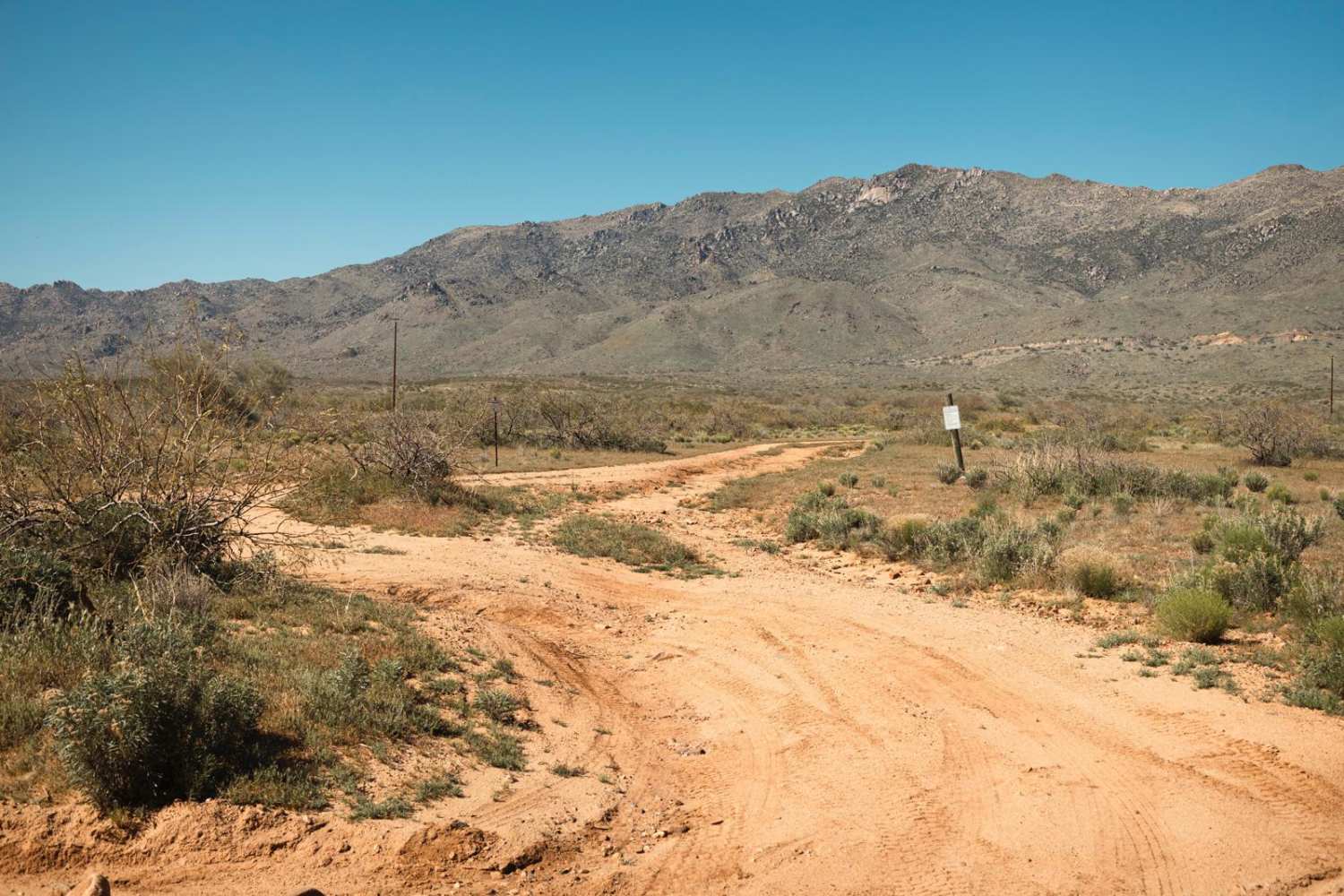
The Uphill is a rough trail filled with spots of erosion. This area is riddled with mines. Evidence of scraped earth and rock piles are present, as well as signage. Some of the erosion crossings…
Learn more about The Uphill
Total Miles
1.9
Tech Rating
2 Easy
Best Time
Spring, Summer, Fall
Learn more about The Upper Edge
The Upper Edge

The Upper Edge

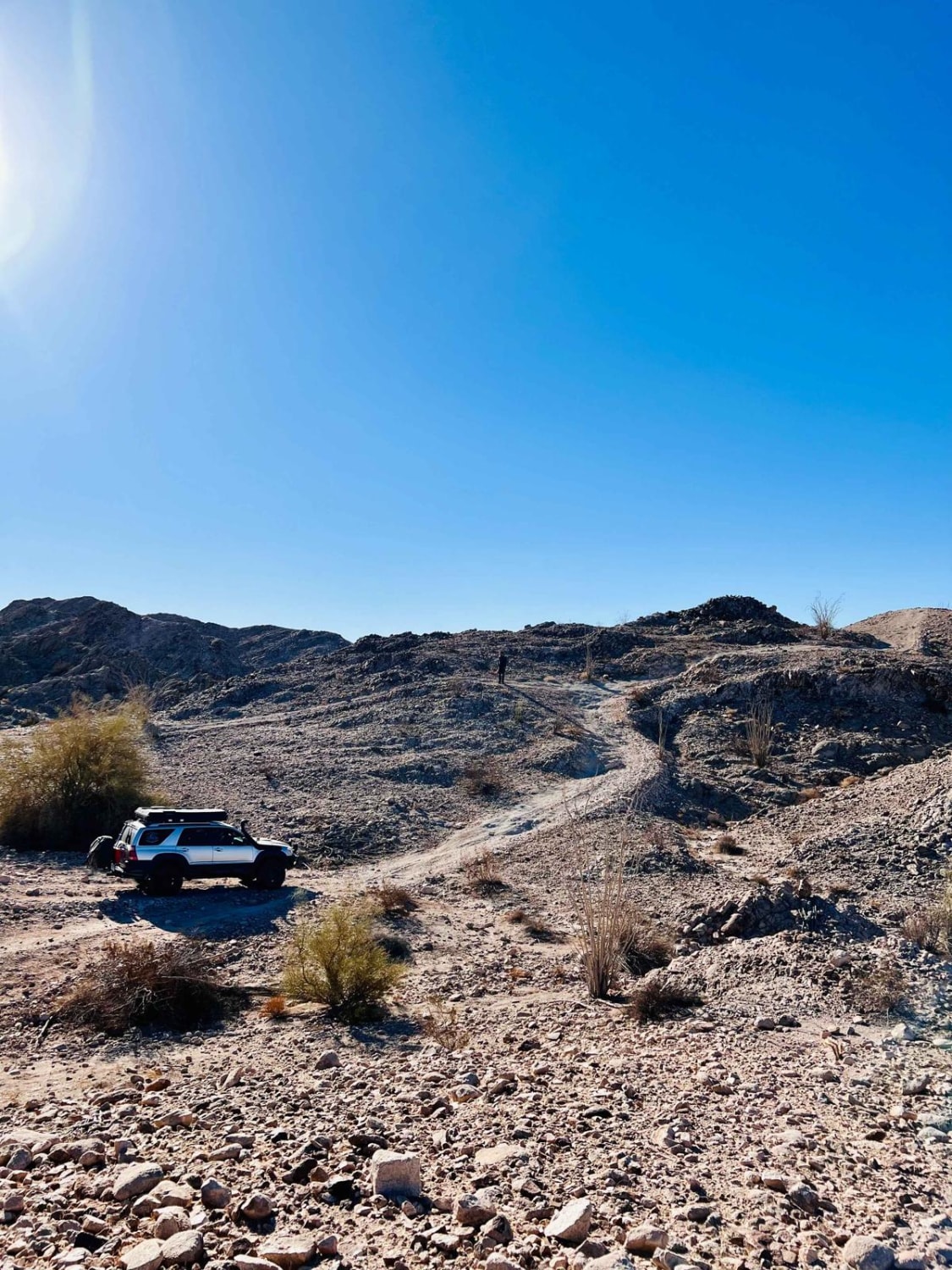
This challenging route travels across the higher trail system in the area. It's an SXS or motorcycle's dream with steep shelves, loose hills, and steep off-camber sections with severe drops into valleys below with improper…
Learn more about The Upper Edge
Total Miles
1.2
Tech Rating
6 Moderate
Best Time
Spring, Fall, Winter
Learn more about The Wash Extension
The Wash Extension

The Wash Extension

The Wash Extension is an interesting trail. From deep, soft sand in the wash, to rocky hill climbs with erosion, this trail is a fun drive! At some points on the steep, rocky hill climbs…
Learn more about The Wash Extension
Total Miles
2.3
Tech Rating
2 Easy
Best Time
Spring, Summer, Fall
Learn more about The Waterfall
The Waterfall

The Waterfall

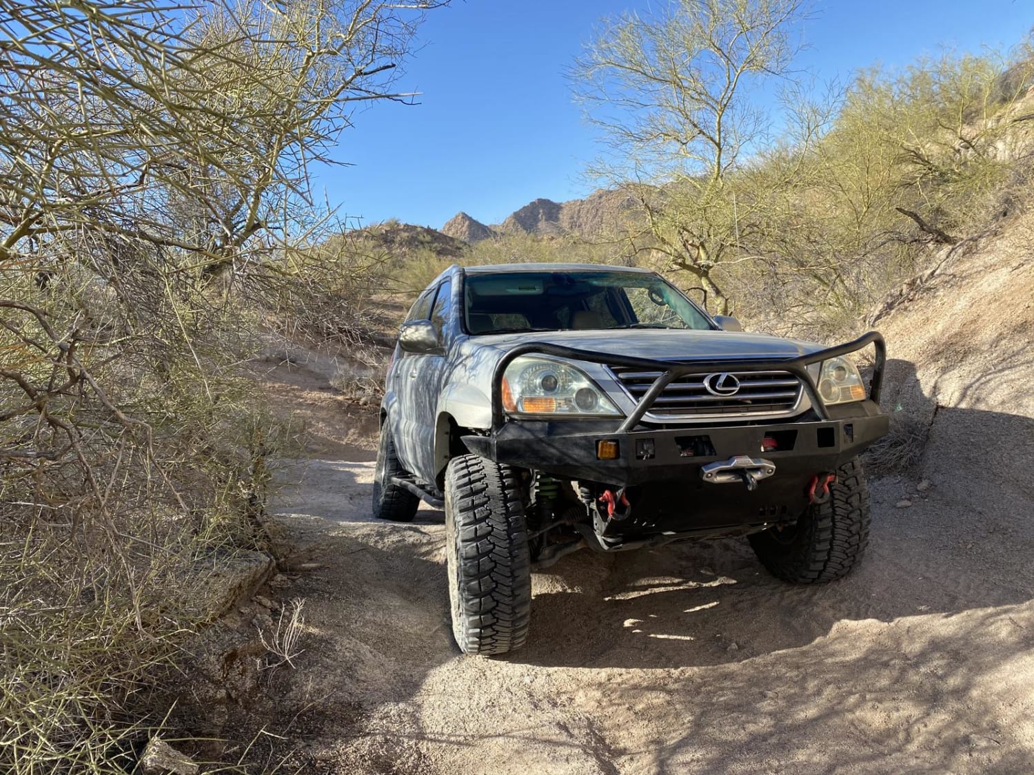
This is a short, but fun trail with an assortment of challenges to crawl through, most of which can be bypassed. The Waterfall section has a few different options, none of which should be attempted…
Learn more about The Waterfall
Total Miles
2.8
Tech Rating
4 Moderate
Best Time
Spring, Fall, Winter
Learn more about The Wooded Curve
The Wooded Curve

The Wooded Curve

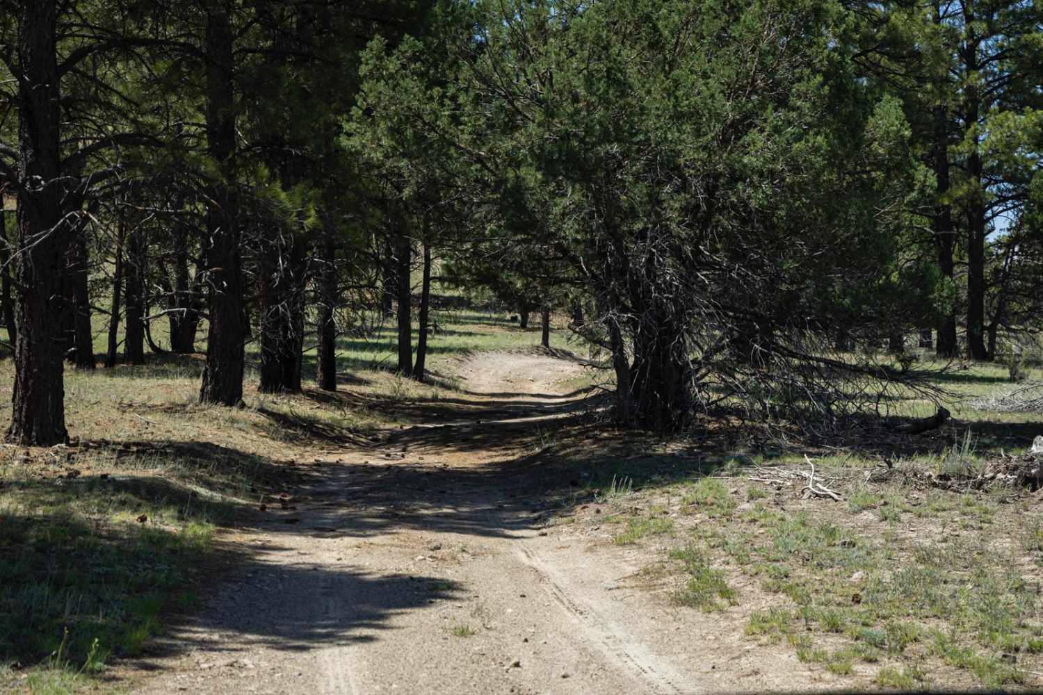
The Wooded Curve is another connector-type trail that cruises through this section of the Kaibab National Forest. This trail is fun and flows, with the curves winding their way through the towering Ponderosa Pines. There…
Learn more about The Wooded Curve
Total Miles
2.5
Tech Rating
2 Easy
Best Time
Spring, Summer, Fall
Learn more about Thelma and Louise Trail
Thelma and Louise Trail

Thelma and Louise Trail

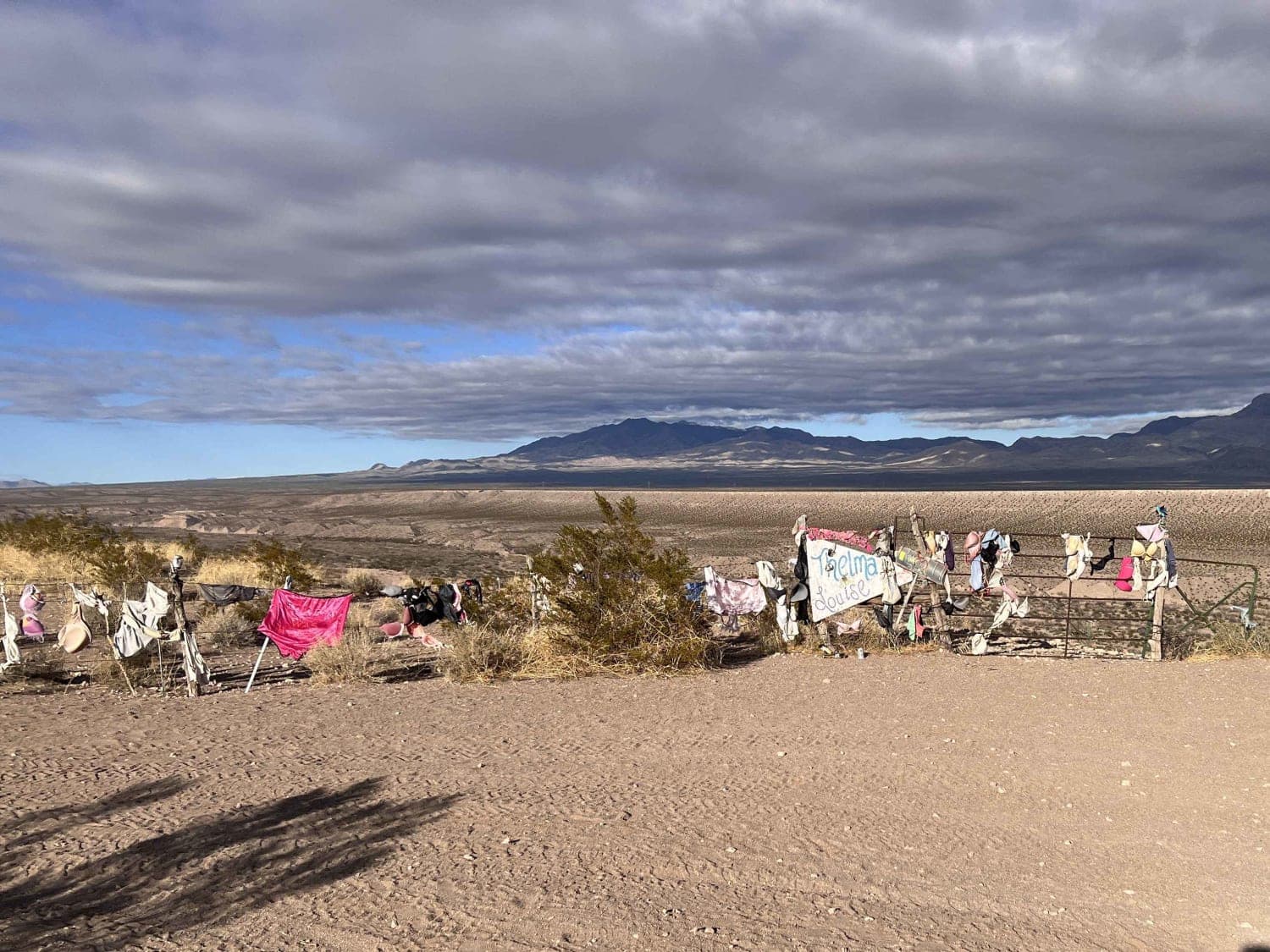
Many have heard of the movie Thelma and Louise. Come see the jump site and some surrounding additions to the adjacent fence. This is a fun, easy trail that can be added to a visit…
Learn more about Thelma and Louise Trail
Total Miles
5.7
Tech Rating
2 Easy
Best Time
Spring, Summer, Fall, Winter
Learn more about Thomas Point Connector
Thomas Point Connector

Thomas Point Connector

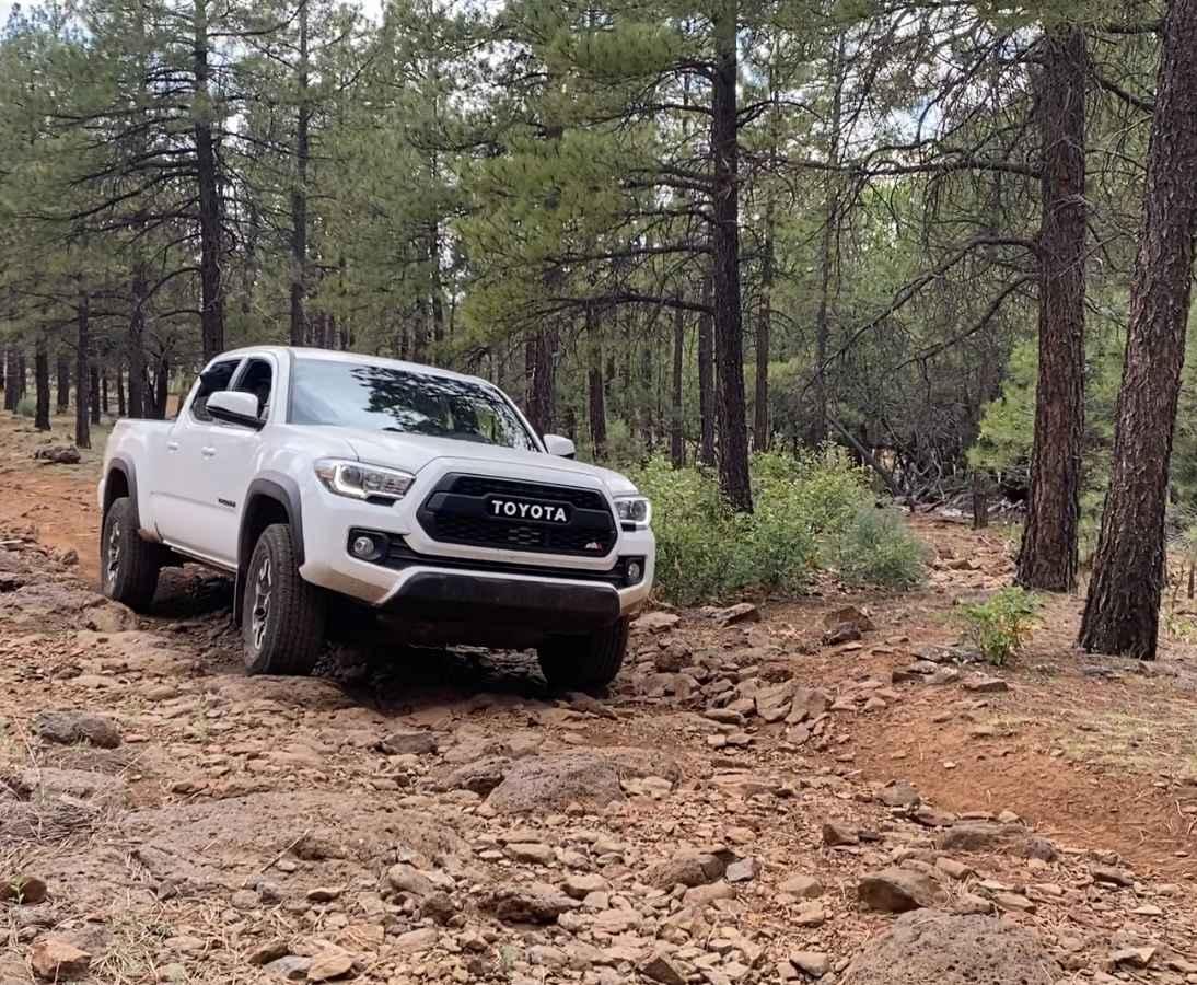
This scenic connector trail is found under the pines of the Coconino National Forest west of Munds Park, AZ. The trail is a mix of rutted dirt and both loose and buried rock, making for…
Learn more about Thomas Point Connector
Total Miles
0.9
Tech Rating
3 Easy
Best Time
Spring, Summer, Fall
Learn more about Thomas Point Trail
Thomas Point Trail

Thomas Point Trail

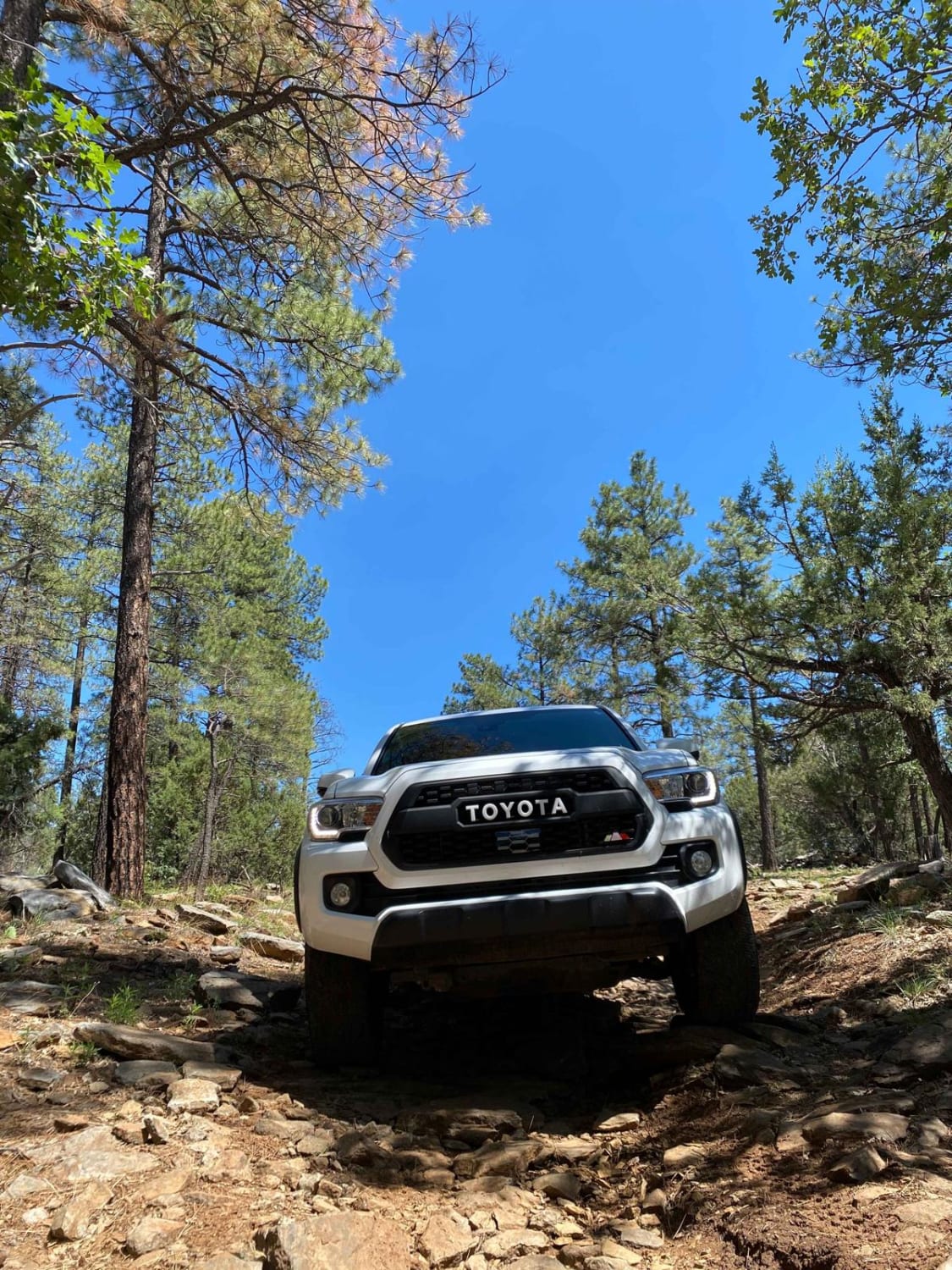
Thomas Point Trail is a fun, rocky out-and-back trail near Munds Park, AZ. The trail is mostly dirt with plenty of buried and loose rock to navigate as you roll through the Ponderosa pines in…
Learn more about Thomas Point Trail
Total Miles
2.5
Tech Rating
3 Easy
Best Time
Spring, Summer, Fall
Learn more about Three Corners
Three Corners

Three Corners

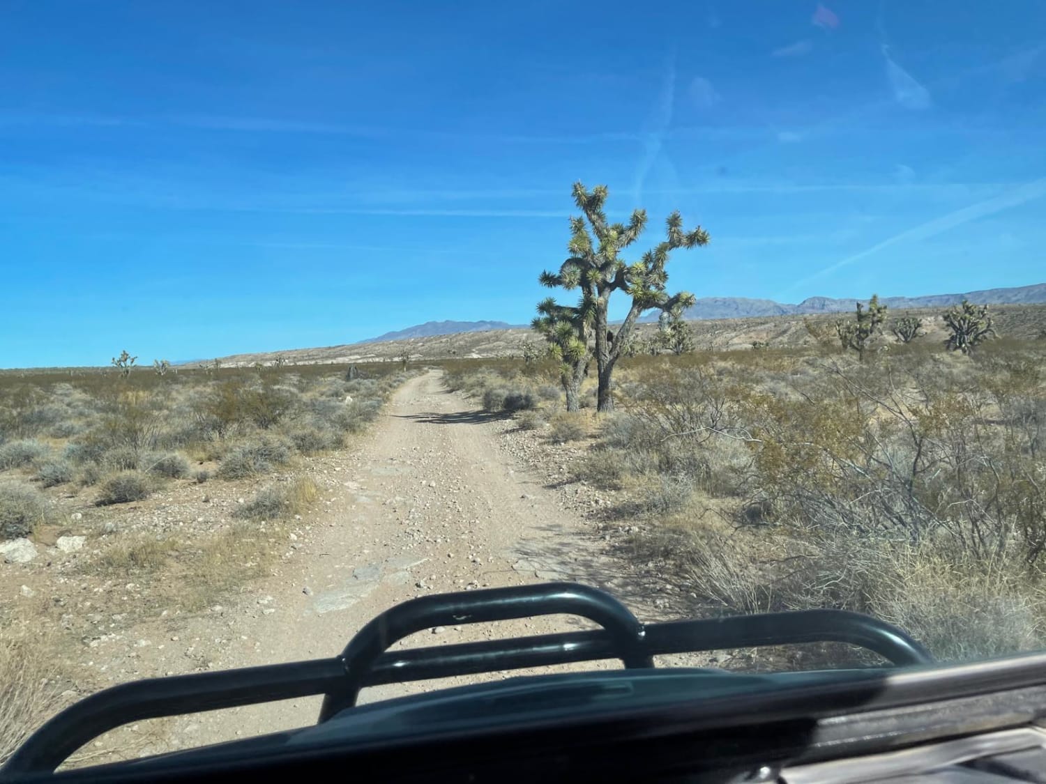
When you arrive at Three Corners you can simultaneously stand in Arizona, Utah and Nevada. Departing just outside of Mesquite, NV, the trail takes you through a large pipe tunnel under the highway and up…
Learn more about Three Corners
Total Miles
28.0
Tech Rating
4 Moderate
Best Time
Spring, Summer
Learn more about Three Feathers Playground
Three Feathers Playground

Three Feathers Playground

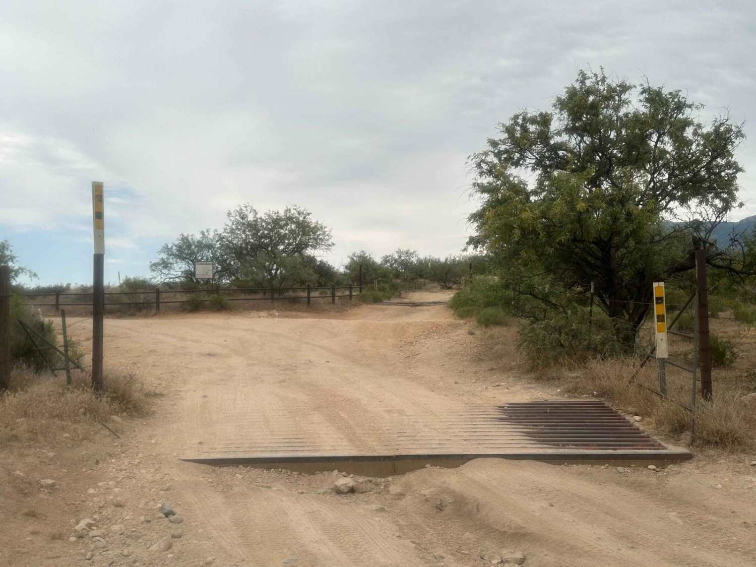
This route to Chiva Falls, particularly captivating during Tucson's monsoon season, leads to a stunning natural waterfall display. The trail section offers numerous technical challenges, featuring ledges and rocky inclines. The primary obstacle on this…
Learn more about Three Feathers Playground
Total Miles
2.7
Tech Rating
7 Difficult
Best Time
Spring, Winter, Fall
Learn more about Three Rivers
Three Rivers

Three Rivers

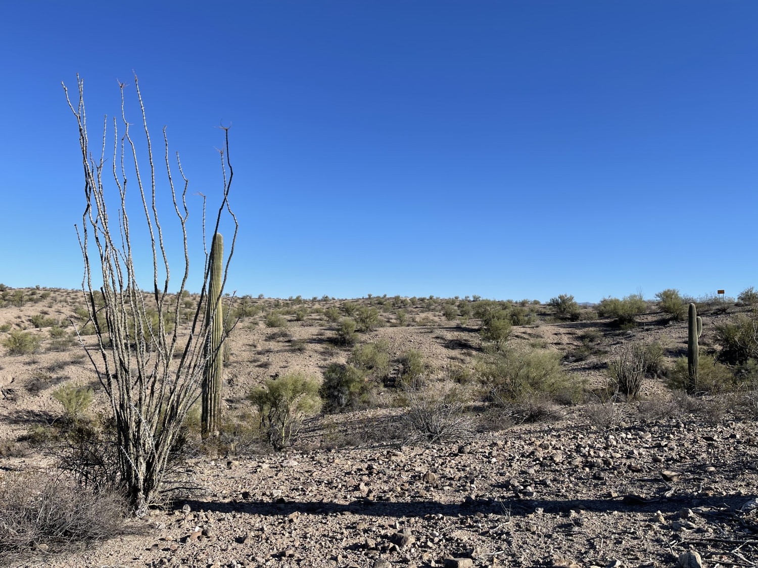
This trail is an easy, graded, wide, two-lane dirt trail with plenty of washboard that ends a sandy wash. The wash is the access point to the Arrastra Mountain Wilderness and may have water in…
Learn more about Three Rivers
Total Miles
4.3
Tech Rating
2 Easy
Best Time
Winter, Fall, Spring
Learn more about Thumb Butte Loop
Thumb Butte Loop

Thumb Butte Loop

The Thumb Butte Loop is arguably the most traveled off-road section in the Prescott National Forest. It's close to town, easy to access and offers sweeping views over Prescott, the Sierra Prieta, the Weaver Mountains…
Learn more about Thumb Butte Loop
Total Miles
7.4
Tech Rating
2 Easy
Best Time
Spring, Summer, Fall
Learn more about Tight Road 009405m
Tight Road 009405m

Tight Road 009405m

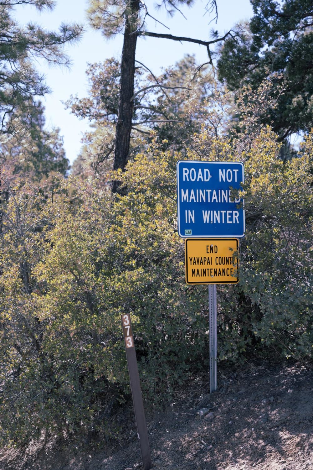
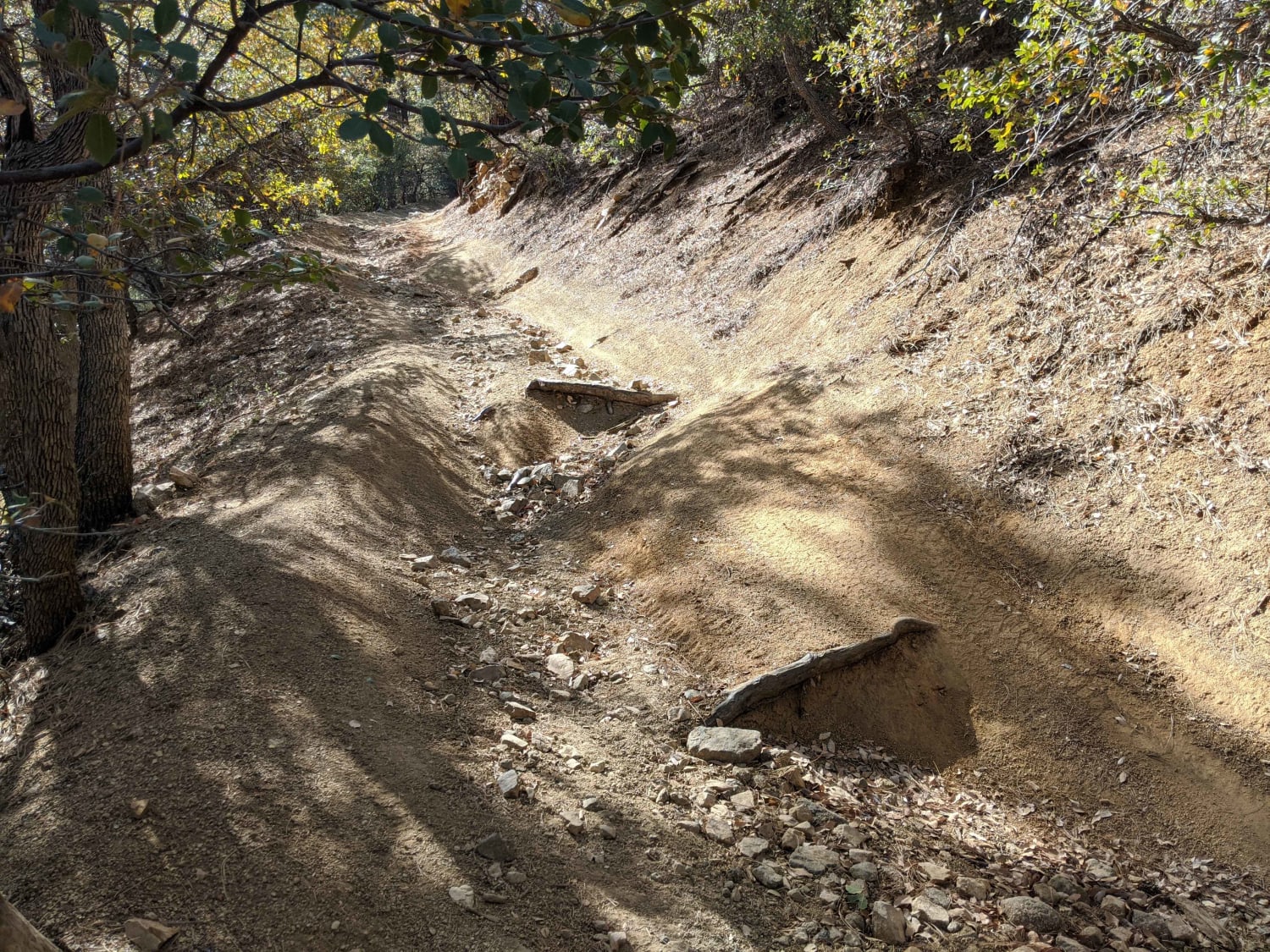
This trail is not maintained in the winter and impassible in wet or snowy conditions. It is recommended to have a short wheelbase or low clearance vehicle as there are very low handing trees. This…
Learn more about Tight Road 009405m
Total Miles
0.9
Tech Rating
4 Moderate
Best Time
Spring, Summer, Fall
Learn more about Tinajas Altas Pass Loop
Tinajas Altas Pass Loop

Tinajas Altas Pass Loop

Tinajas Altas Pass is a desert ride located in the USAF Barry Goldwater Range southeast of Yuma. The ride consists of some wide-open, throttle-flat, straight gravel roads coupled with some mountainous trail riding on rocky,…
Learn more about Tinajas Altas Pass Loop
Total Miles
22.1
Tech Rating
2 Easy
Best Time
Spring, Summer, Fall, Winter
Learn more about To the Mount
To the Mount

To the Mount

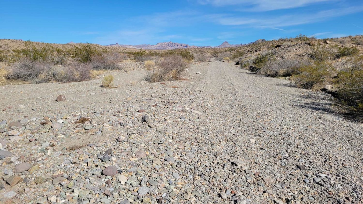
To the Mount is a point-to-point connector trail from "There and Back" up to the mountain area. If starting from the west, the trail begins in a sandy wash. Expect washboards like all the other…
Learn more about To the Mount
Total Miles
3.5
Tech Rating
3 Easy
Best Time
Spring, Summer, Fall, Winter
Learn more about Toad Washout
Toad Washout

Toad Washout

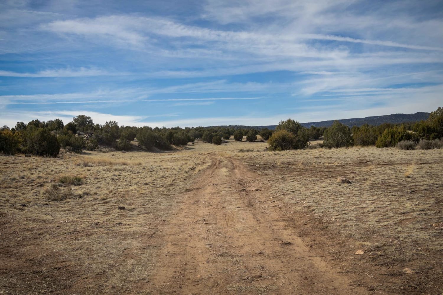
Toad Washout proves to be a very nice trail. With no cell service, the use of offline maps is recommended. This trail is pocked with numerous washouts and erosion areas with some entrances and exits…
Learn more about Toad Washout
Total Miles
5.4
Tech Rating
2 Easy
Best Time
Spring, Summer, Fall
Learn more about Tomkins #513
Tomkins #513

Tomkins #513

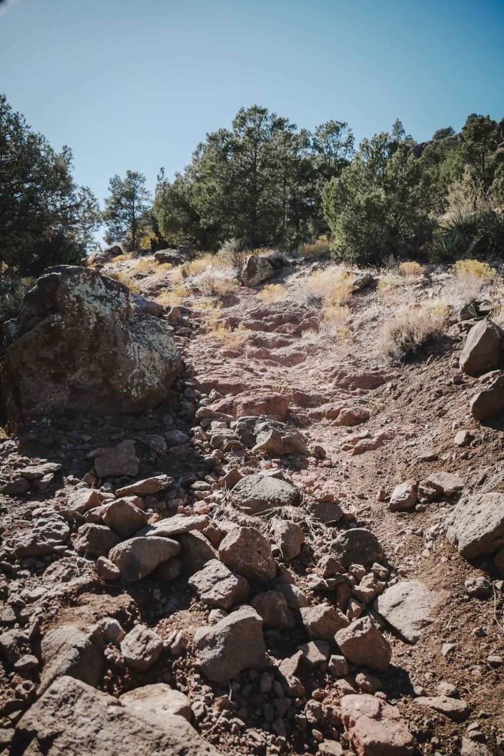
Tomkins is a very challenging 50-inch trail near Camp Verde, Arizona, that starts at an unmarked intersection off of Copper Canyon Road. It immediately starts climbing on a very rocky trail and gets up to…
Learn more about Tomkins #513
Total Miles
4.5
Tech Rating
8 Difficult
Best Time
Spring, Winter, Fall
Learn more about Tonopah-Salome Highway
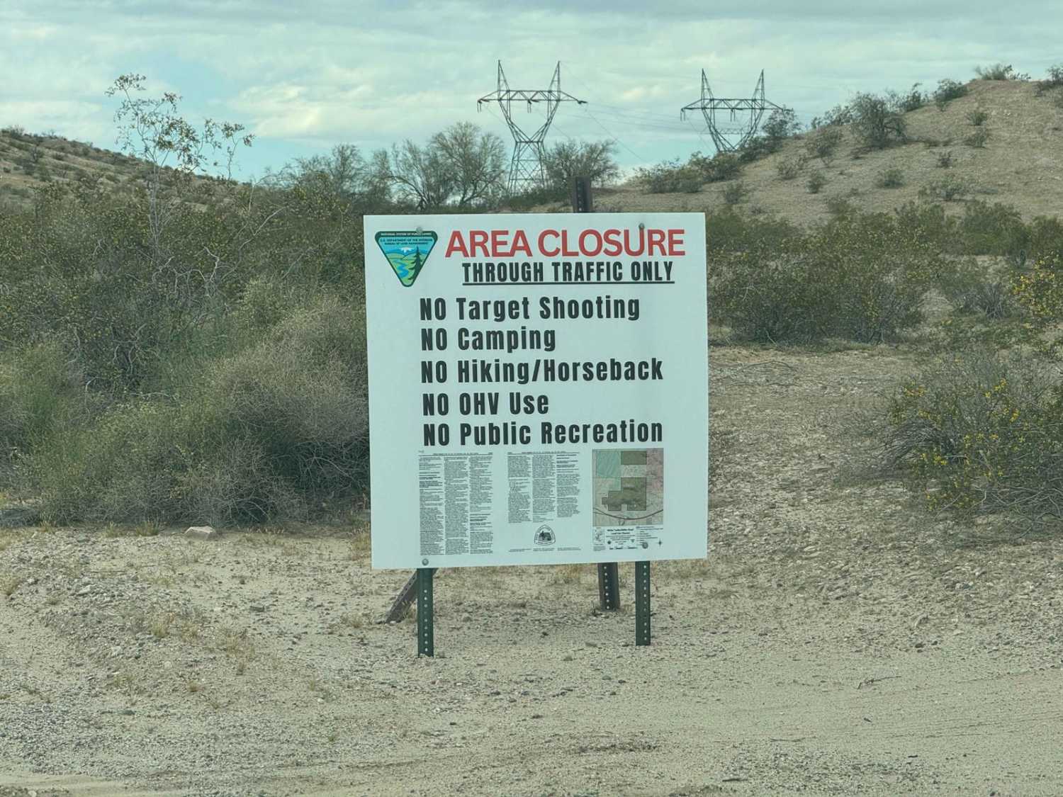
Tonopah-Salome Highway

Tonopah-Salome Highway

This is a relatively easy route. This is perfect for bypassing any accident on the I-10 between Miller Road and Sun Valley Parkway. Towards the west end, it will be somewhat paved for a short…
Learn more about Tonopah-Salome Highway
Total Miles
5.7
Tech Rating
1 Easy
Best Time
Winter, Summer, Spring
Learn more about Tonopah-Salome Highway: Sun Valley Parkway to 330th Avenue
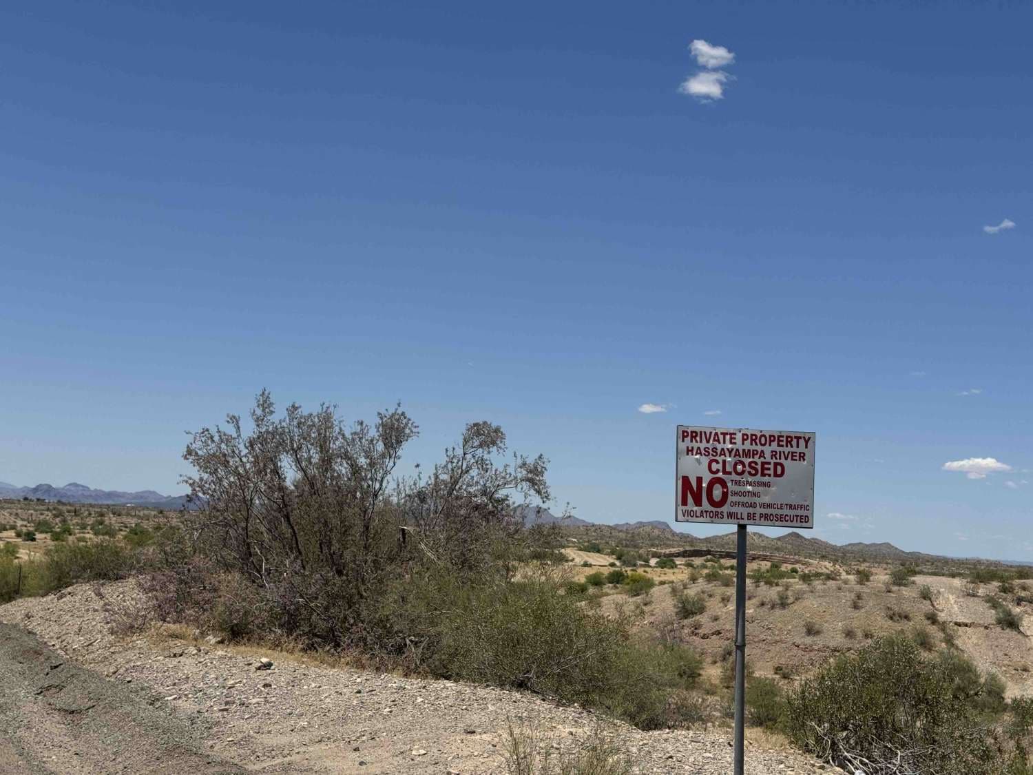
Tonopah-Salome Highway: Sun Valley Parkway to 330th Avenue

Tonopah-Salome Highway: Sun Valley Parkway to 330th Avenue

This is an easy backroad that almost any vehicle can travel. This can get very muddy during rain events and the wash can really get flowing during summer rain events. While there are no shooting…
Learn more about Tonopah-Salome Highway: Sun Valley Parkway to 330th Avenue
Total Miles
5.0
Tech Rating
1 Easy
Best Time
Spring, Summer, Fall, Winter
Learn more about Tonto
Tonto

Tonto

Tonto is a tight and windy desert trail through scrub oak thickets. It's designated for 50" vehicles, but is more like a wide single track, as it has become narrower over time from being mostly…
Learn more about Tonto
Total Miles
4.0
Tech Rating
3 Easy
Best Time
Spring, Fall

The onX Offroad Difference

onX Offroad combines trail photos, descriptions, difficulty ratings, width restrictions, seasonality, and more in a user-friendly interface. Available on all devices, with offline access and full compatibility with CarPlay and Android Auto. Discover what you’re missing today!