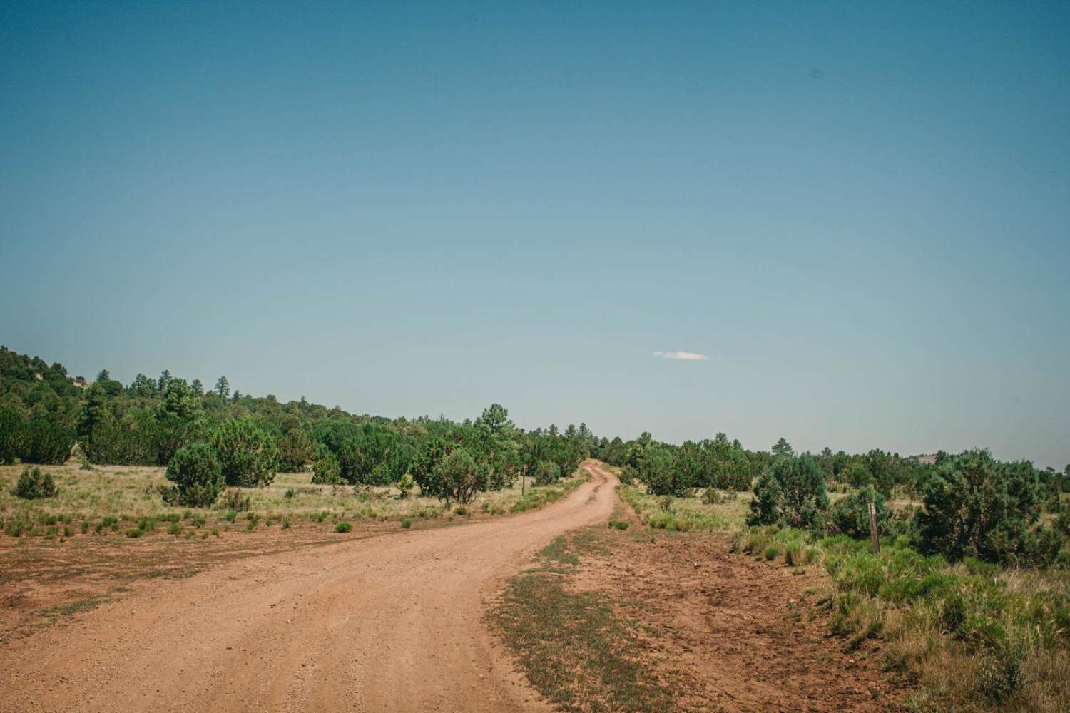
Off-Road Trails in Arizona

Discover off-road trails in Arizona

Learn more about Spur Loop to Chloride AZPT Connector (Northeast)
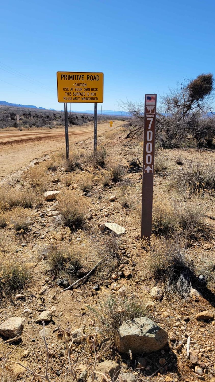
Spur Loop to Chloride AZPT Connector (Northeast)

Spur Loop to Chloride AZPT Connector (Northeast)

This is a connector section of the Arizona Peace Trail system from the town of Chloride. The trail begins and ends with pavement, but the middle section is a wide, routinely-trafficked dirt road. Warning signs…
Learn more about Spur Loop to Chloride AZPT Connector (Northeast)
Total Miles
6.7
Tech Rating
1 Easy
Best Time
Spring, Summer, Fall, Winter
Learn more about Spur Loop to Chloride AZPT Connector (Southeast)
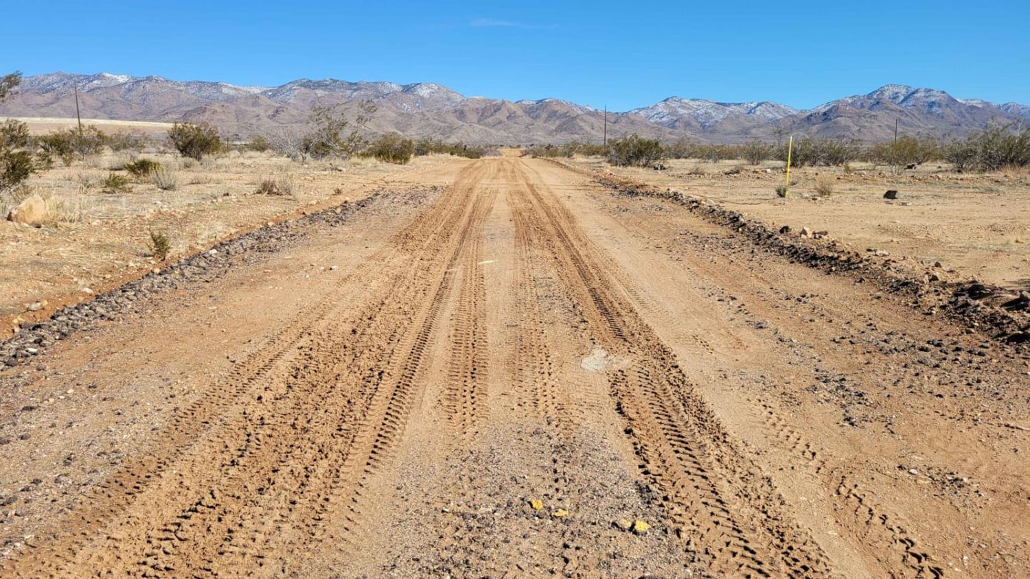
Spur Loop to Chloride AZPT Connector (Southeast)

Spur Loop to Chloride AZPT Connector (Southeast)

This is the south connector section from the town of Chloride to the Arizona Peace Trail system. This 8-mile point-to-point, two-track trail offers a little bit of everything as it parallels Highway 93--ruts, sand, rocky…
Learn more about Spur Loop to Chloride AZPT Connector (Southeast)
Total Miles
7.2
Tech Rating
4 Moderate
Best Time
Spring, Summer, Fall, Winter
Learn more about Spurline Mine
Spurline Mine

Spurline Mine

This trail is a spur section off the adjacent trail, "The Uphill." Mellower than "The Uphill", this trail is rock and has minimal challenge. There are no major obstacles on this trail. There is also…
Learn more about Spurline Mine
Total Miles
0.6
Tech Rating
2 Easy
Best Time
Spring, Summer, Fall
Learn more about Squaw
Squaw

Squaw

The Squaw Trail was such a pleasant surprise to encounter! This trail meanders pleasantly through a beautiful Ponderosa Pine section of the Kaibab National Forest. There are some sections of wildfire evidence as you drive…
Learn more about Squaw
Total Miles
7.7
Tech Rating
2 Easy
Best Time
Spring, Summer, Fall
Learn more about Squeeze Me Gently
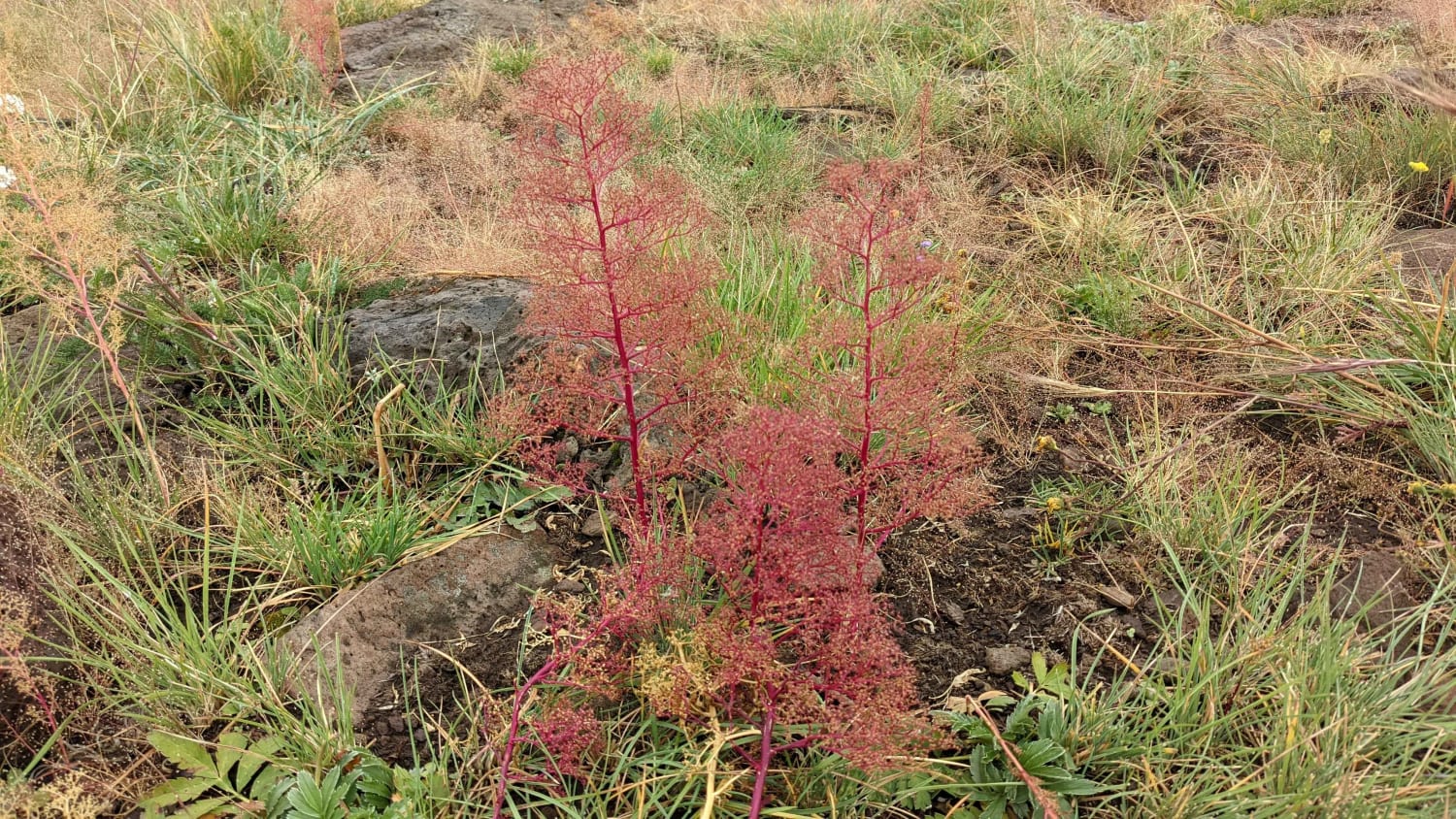
Squeeze Me Gently

Squeeze Me Gently

This trail has it all, including climbs, descents, lush forests, open meadows, and beautiful views, with elevations changing over 1,000 feet and exceeding 9,300 feet! There is a section of the trail where there is…
Learn more about Squeeze Me Gently
Total Miles
17.8
Tech Rating
4 Moderate
Best Time
Spring, Fall, Summer
Learn more about Squiggly Hiking Trail
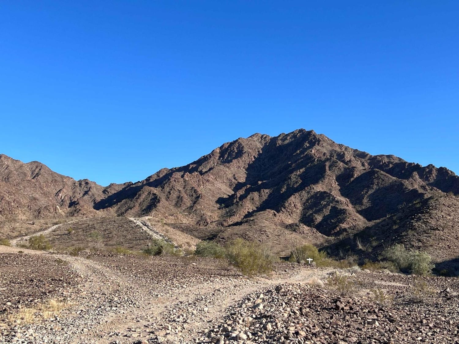
Squiggly Hiking Trail

Squiggly Hiking Trail

This short out-and-back offers some steeper climbs as it ascends further into the hills, eventually ending at a narrow hiking trail that offers even more elevation for viewing Yuma and the surrounding area. This route…
Learn more about Squiggly Hiking Trail
Total Miles
1.0
Tech Rating
5 Moderate
Best Time
Spring, Winter
Learn more about St. Claire OHV Loop
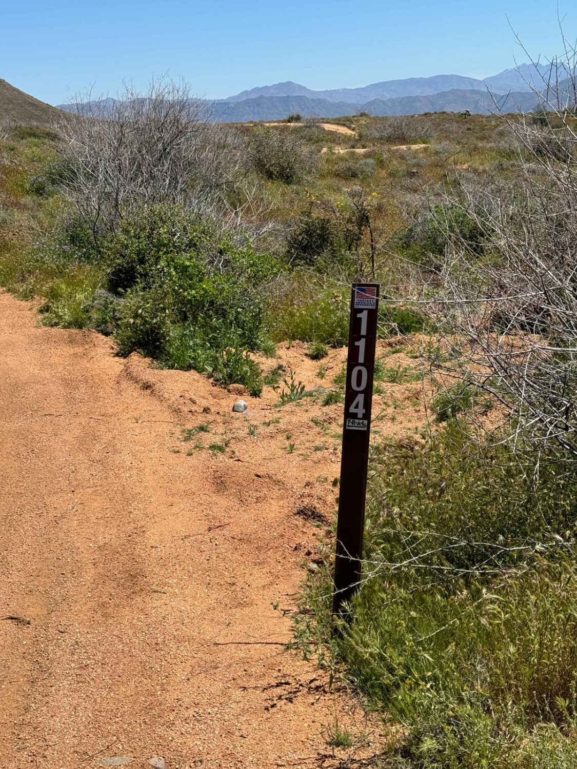
St. Claire OHV Loop

St. Claire OHV Loop

This is a very nice loop between Horseshoe Dam Road and Bartlett Lake Road that takes you through varied terrain and some very interesting rock formations. This trail is part of the St. Clair OHV…
Learn more about St. Claire OHV Loop
Total Miles
7.1
Tech Rating
3 Easy
Best Time
Spring, Fall, Winter, Summer
Learn more about Starvation Point
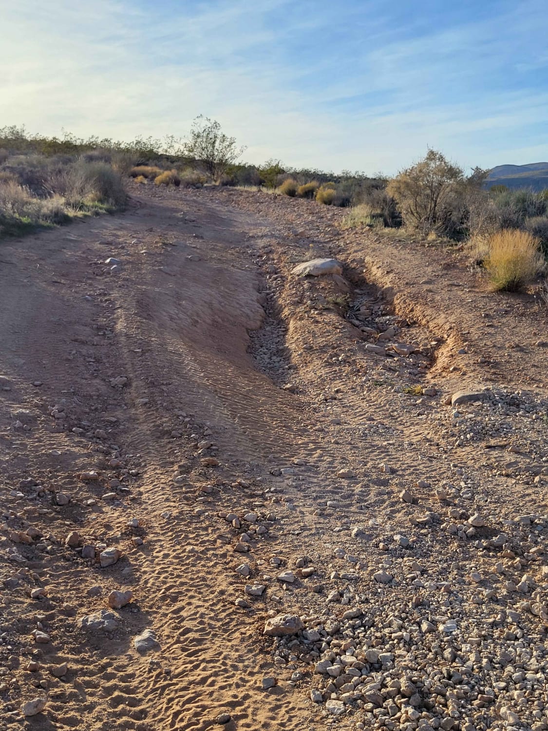
Starvation Point

Starvation Point

This route leads to Elephant Arch and ends at a spectacular overlook of the Virgin River Gorge. You can watch the interstate traffic from way up on top of the plateau. The trail itself is…
Learn more about Starvation Point
Total Miles
3.4
Tech Rating
4 Moderate
Best Time
Fall, Summer, Spring
Learn more about Stephens Point Trail
Stephens Point Trail

Stephens Point Trail

This is a route that tracks to the junction of a small island that is known as Stephens Point. It's a long-time gathering spot for family trips and a great location to relax in the…
Learn more about Stephens Point Trail
Total Miles
5.9
Tech Rating
2 Easy
Best Time
Spring, Fall, Winter, Summer
Learn more about Sterling to AZ Peace Trail
Sterling to AZ Peace Trail

Sterling to AZ Peace Trail

This trail begins in town on the edge of a neighborhood and connects to the AZPT trail. It picks up off of East Sterling Road in a turn and heads out into the desert. The…
Learn more about Sterling to AZ Peace Trail
Total Miles
3.4
Tech Rating
2 Easy
Best Time
Spring, Fall
Learn more about Stockyard Junction
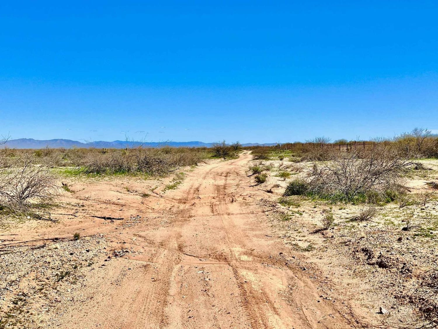
Stockyard Junction

Stockyard Junction

This trail appears to be an old railroad trail that runs parallel to the new railroad tracks. It is technically an out-and-back because it ends on private property at Stockyard Junction. The property has multiple…
Learn more about Stockyard Junction
Total Miles
4.0
Tech Rating
3 Easy
Best Time
Spring, Fall, Winter
Learn more about Stone Cabin to Jacobs Well (Black Rock Road 1004)
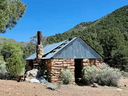
Stone Cabin to Jacobs Well (Black Rock Road 1004)

Stone Cabin to Jacobs Well (Black Rock Road 1004)

Stone Cabin to Jacobs Well (Black Rock Road 1004) is a 9.5-mile point-to-point trail rated 3 of 10 located in Mohave County, Arizona. This is a little-used section of Black Rock Road that connects Elbow…
Learn more about Stone Cabin to Jacobs Well (Black Rock Road 1004)
Total Miles
9.4
Tech Rating
3 Easy
Best Time
Spring, Summer, Fall
Learn more about Stoneman Lake Road
Stoneman Lake Road

Stoneman Lake Road

Stoneman Lake Road is a maintained gravel road that is extremely washboarded and dusty. This is a very popular road for off-roaders. You will see many people on this road while traveling it. Be aware…
Learn more about Stoneman Lake Road
Total Miles
8.2
Tech Rating
1 Easy
Best Time
Spring, Summer, Fall
Learn more about Stop Playing in the Sand
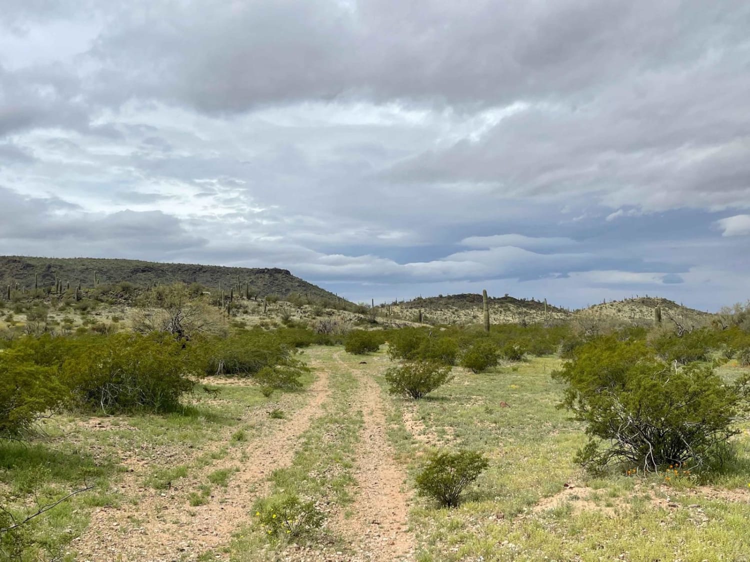
Stop Playing in the Sand

Stop Playing in the Sand

This trail leads out of the sandy wash section of lower Sikort Chapo and off into the desert. The route begins in dense trees with sharp branches sure to cause paint damage. Plenty of wildlife…
Learn more about Stop Playing in the Sand
Total Miles
3.5
Tech Rating
4 Moderate
Best Time
Spring, Fall, Winter
Learn more about Straight Line Down
Straight Line Down

Straight Line Down

This short 1.2-mile trail follows a natural gas line down several rolling hills and washes. The trail starts off with a small uneven rut and is fairly easy until the series of downhill sections. The…
Learn more about Straight Line Down
Total Miles
1.2
Tech Rating
5 Moderate
Best Time
Spring, Summer, Fall
Learn more about Strawberry to Pine
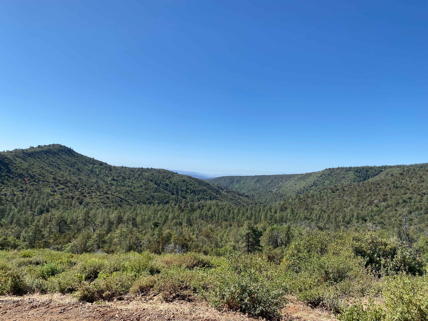
Strawberry to Pine

Strawberry to Pine

This dirt trail connects the small mountain towns of Pine and Strawberry. It starts smoothly from Pine but is a series of switchbacks gaining some elevation. There is a popular hiking trail a quarter mile…
Learn more about Strawberry to Pine
Total Miles
6.7
Tech Rating
2 Easy
Best Time
Fall, Summer, Spring
Learn more about Strickland Wash
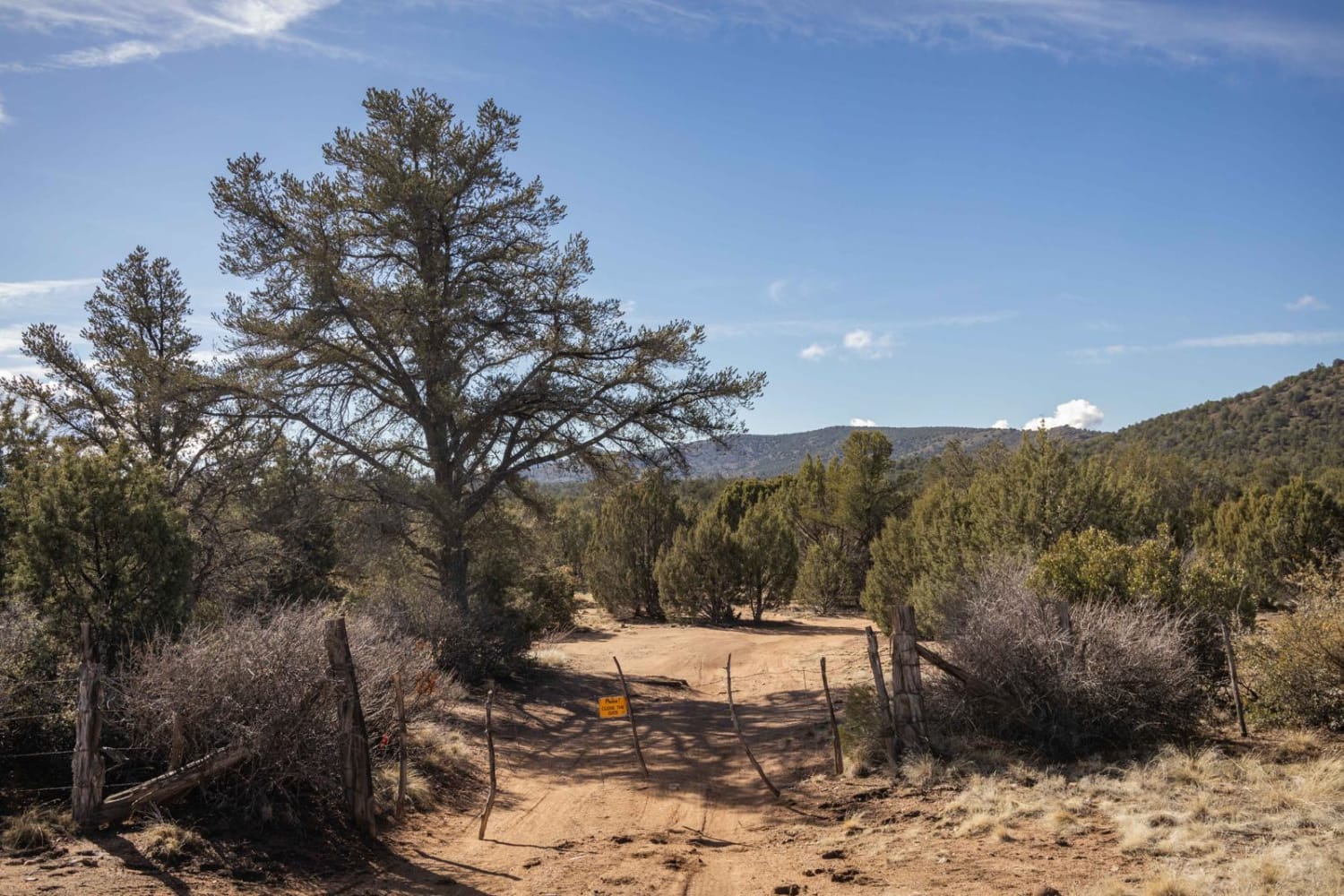
Strickland Wash

Strickland Wash

Strickland Wash is an interesting trail. With numerous wash crossings with steep entrances and exits, along with a couple of highly technical off-camber rock sections, this trail does not disappoint. Starting as a single-lane dirt…
Learn more about Strickland Wash
Total Miles
4.5
Tech Rating
4 Moderate
Best Time
Spring, Summer, Fall
Learn more about Stud Horse Point Loop
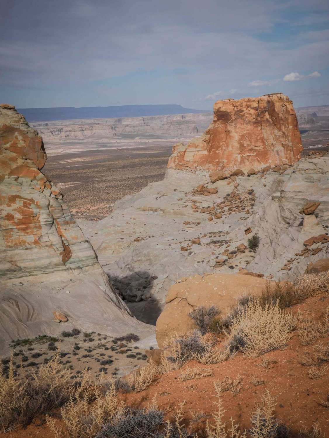
Stud Horse Point Loop

Stud Horse Point Loop

This 3-mile loop starts off of Blue Pools Road 1096, loops north and east towards Stud Horse Point, and ends up back south at the intersection with 1098. Going clockwise, the beginning is a flat,…
Learn more about Stud Horse Point Loop
Total Miles
3.0
Tech Rating
2 Easy
Best Time
Spring, Winter, Fall
Learn more about Sullivan Draw Road South - BLM 1040
Sullivan Draw Road South - BLM 1040

Sullivan Draw Road South - BLM 1040

This is the southern half of Sullivan Draw Road (BLM 1040). It is a main road that connects to several other trails in the area. The trail is an established two-track that is wide enough…
Learn more about Sullivan Draw Road South - BLM 1040
Total Miles
6.9
Tech Rating
3 Easy
Best Time
Spring, Fall, Winter
Learn more about Sullivan Ridge
Sullivan Ridge

Sullivan Ridge

On the map, Sullivan Ridge appears to be an out-and-back trail. Upon reaching the end of this recording, tire tracks continue beyond; it is unclear where the trail/tracks lead. Sullivan Ridge is a two-track trail…
Learn more about Sullivan Ridge
Total Miles
3.7
Tech Rating
3 Easy
Best Time
Spring, Fall, Winter

The onX Offroad Difference

onX Offroad combines trail photos, descriptions, difficulty ratings, width restrictions, seasonality, and more in a user-friendly interface. Available on all devices, with offline access and full compatibility with CarPlay and Android Auto. Discover what you’re missing today!