Off-Road Trails in Arizona

Discover off-road trails in Arizona

Learn more about Sycamore Canyon Road
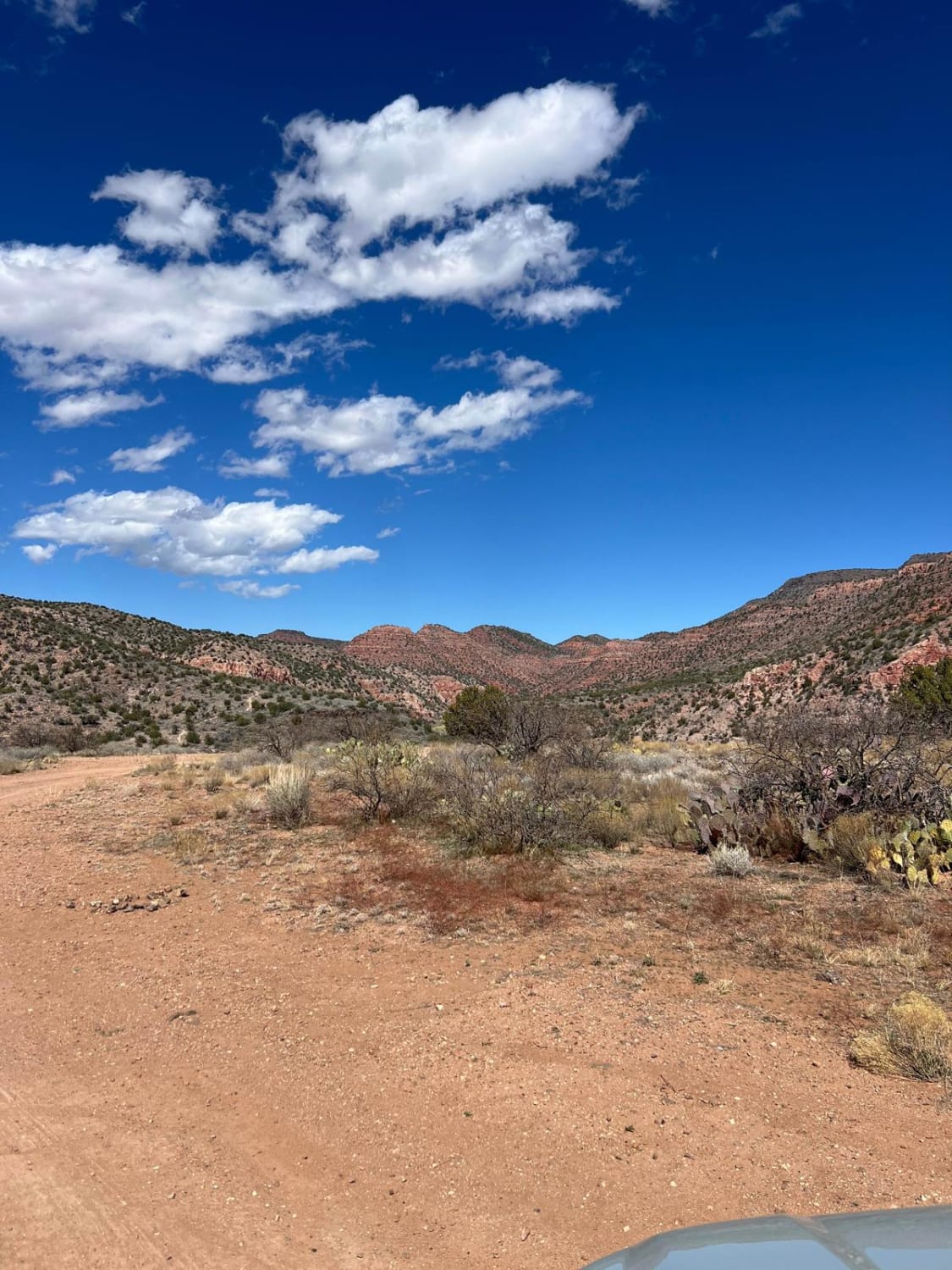
Sycamore Canyon Road

Sycamore Canyon Road

Sycamore Creek Road is just over 6 miles long and provides many access points to the Verde River and Sycamore Creek. This is a maintained road with some small rocky washboarded areas. This trail can…
Learn more about Sycamore Canyon Road
Total Miles
6.1
Tech Rating
1 Easy
Best Time
Spring, Summer, Fall, Winter
Learn more about Sycamore Creek
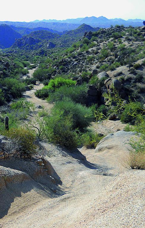
Sycamore Creek

Sycamore Creek

The OHV trails here are extensive. You could spend days exploring this area. If you want a fun, challenging obstacle, try the canyon east of Squeeze Rock. ATVS, UTVs and dirt bikes will especially like…
Learn more about Sycamore Creek
Total Miles
11.7
Tech Rating
4 Difficult
Best Time
Fall, Winter, Spring
Learn more about Sycamore Pass Road
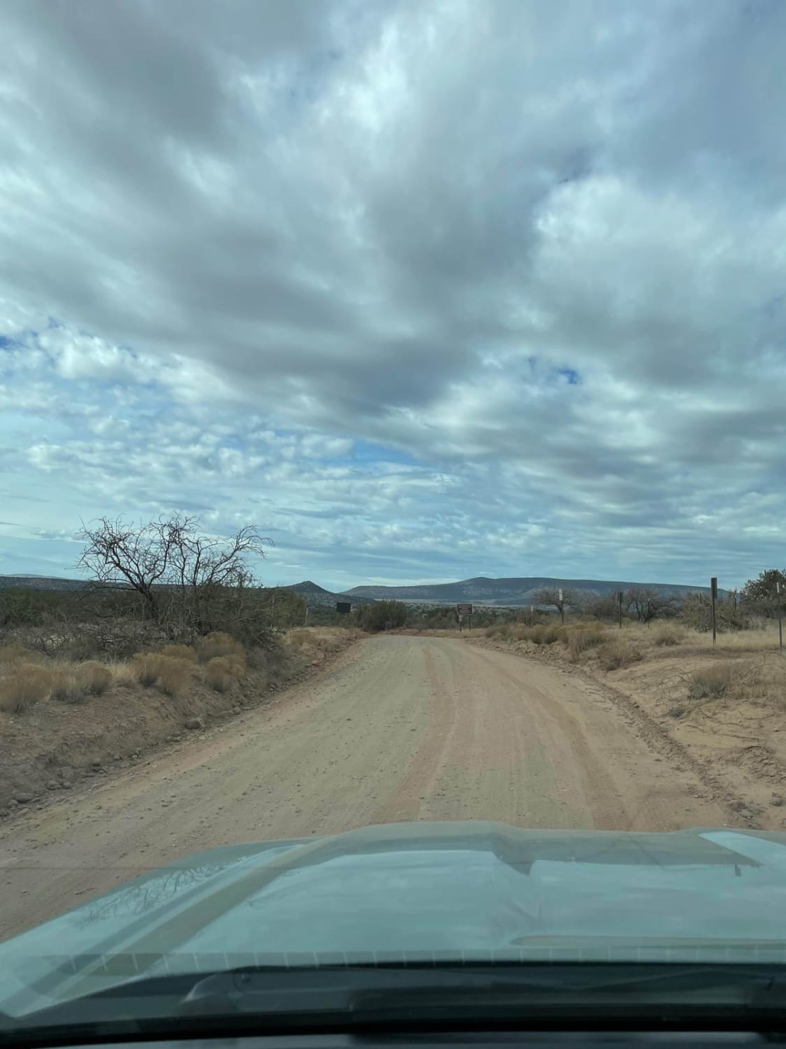
Sycamore Pass Road

Sycamore Pass Road

This trail starts as a maintained road which turns to unmaintained as you get farther up the trail. The total distance of this trail is 8.5 miles, taking you from the start of FS Road…
Learn more about Sycamore Pass Road
Total Miles
8.5
Tech Rating
2 Easy
Best Time
Spring, Summer, Fall, Winter
Learn more about Sycamore Point
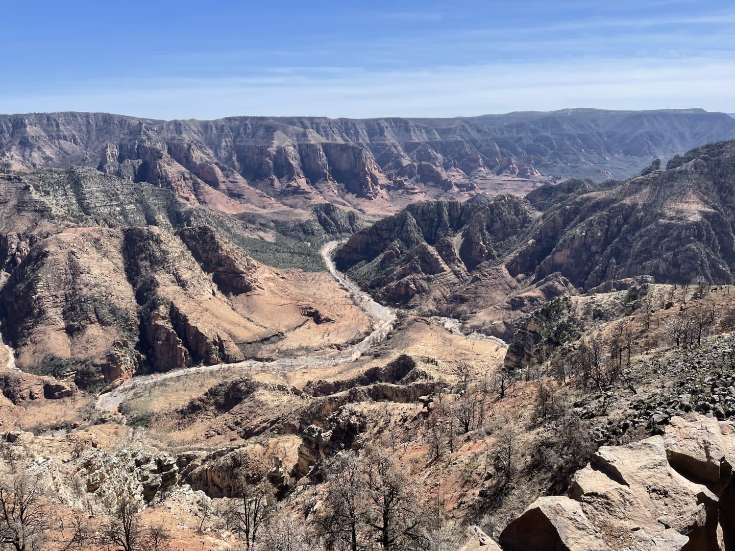
Sycamore Point

Sycamore Point

This trail leads to a scenic overlook above the Colcord and Tule Canyons. The beginning of the trail is washboard, potholes, and ruts. There are lots of dispersed camping spots near Highway 73. The spots…
Learn more about Sycamore Point
Total Miles
15.4
Tech Rating
3 Easy
Best Time
Fall, Summer, Spring
Learn more about Sycamore Rim Overlook
Sycamore Rim Overlook

Sycamore Rim Overlook

This well-graded route provides access to a great overlook of the Sycamore Rim, surrounded by big pine trees and some views of distant mountain ranges. Off the main route, you will find some spur trails…
Learn more about Sycamore Rim Overlook
Total Miles
9.3
Tech Rating
1 Easy
Best Time
Spring, Summer
Learn more about Sycamore Tank
Sycamore Tank

Sycamore Tank

Sycamore Tank is a dirt trail primarily filled with rock and erosion sections. There's nothing too bad, as there are no obstacles on this trail. By the looks of the sporadic primitive small campsites, it's…
Learn more about Sycamore Tank
Total Miles
3.4
Tech Rating
2 Easy
Best Time
Spring, Fall, Winter
Learn more about T-Six Canyon Loop
T-Six Canyon Loop

T-Six Canyon Loop

The beginning of this trail is the start of Forest Road 226C. Right away, the trail starts off rocky and narrow as you climb a small incline. In this area, there are lots of exposed…
Learn more about T-Six Canyon Loop
Total Miles
5.2
Tech Rating
4 Moderate
Best Time
Spring, Summer, Fall
Learn more about Table Mesa Road
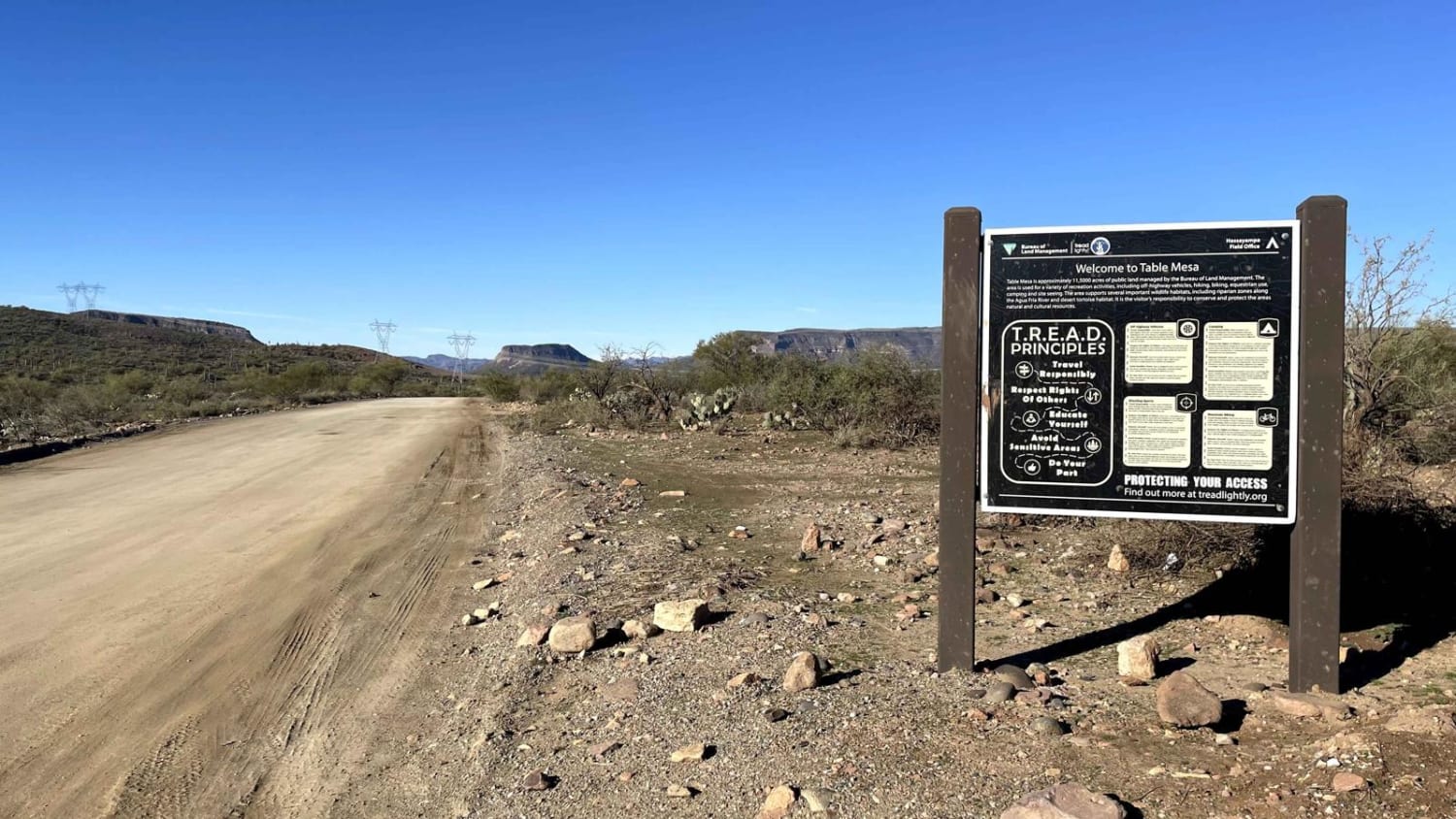
Table Mesa Road

Table Mesa Road

Table Mesa Road provides primary access to the Table Mesa Recreation Area and its network of OHV trails. It is primarily a washboard gravel road, though washouts and ruts can be present on occasion. While…
Learn more about Table Mesa Road
Total Miles
4.3
Tech Rating
3 Easy
Best Time
Spring, Summer, Fall, Winter
Learn more about Tank Four Birdhouse
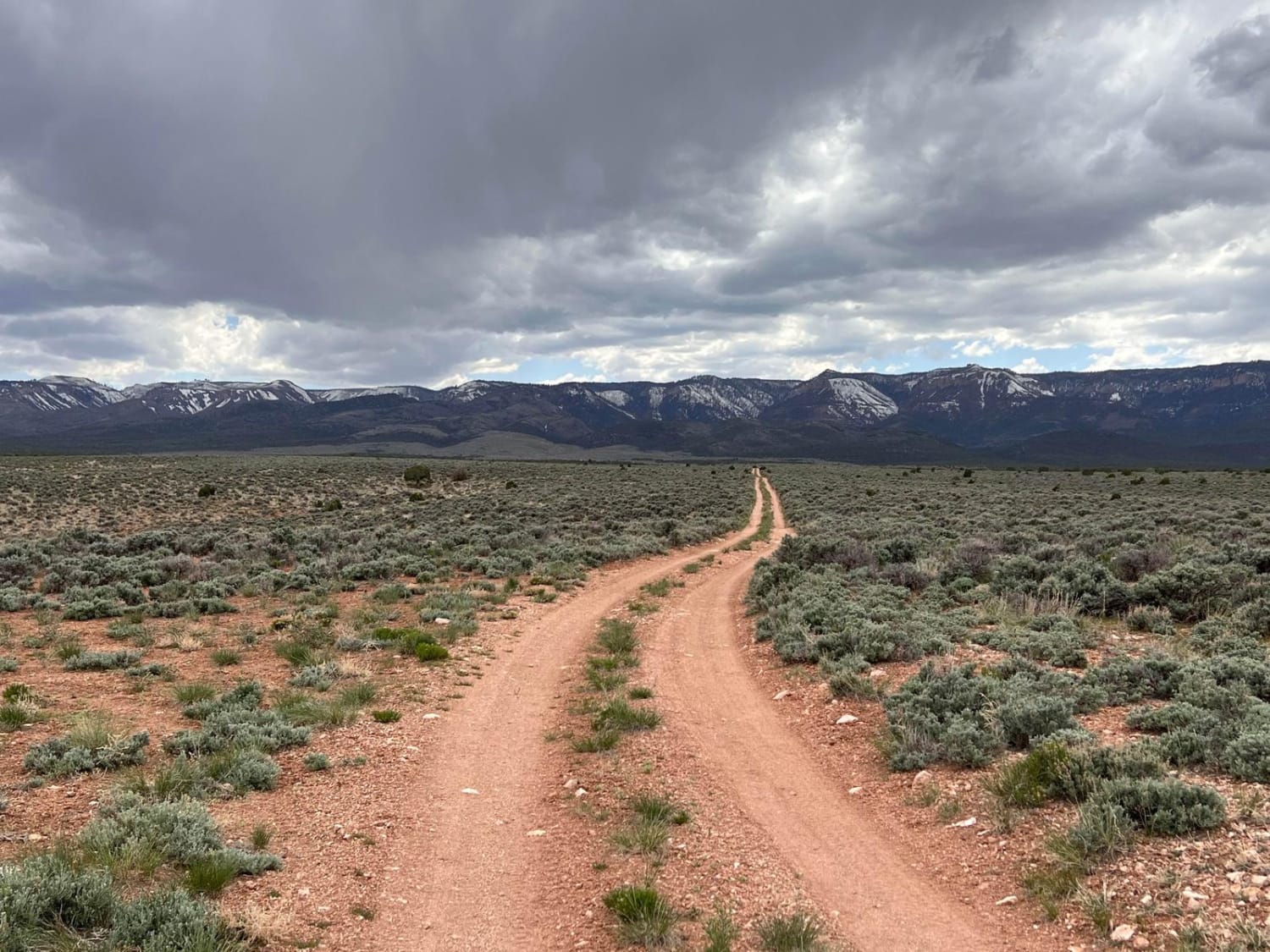
Tank Four Birdhouse

Tank Four Birdhouse

This is an oasis in the high desert. This trail leads to a beautiful little pond for wildlife and a nice grassy pullout to stop for lunch or call it a night. Frogs and birds…
Learn more about Tank Four Birdhouse
Total Miles
2.2
Tech Rating
3 Easy
Best Time
Spring, Fall
Learn more about Tank Pass
Tank Pass

Tank Pass

This trail starts off I-10, continuing through the desert to some pretty fun climbing that gets you on top of a ridge and works your way around to Donna's Overlook. There are three different headstone…
Learn more about Tank Pass
Total Miles
32.7
Tech Rating
5 Moderate
Best Time
Summer, Fall
Learn more about Tankers View
Tankers View

Tankers View

This one-lane, rutted road traverses a huge meadow on a plain surrounded by stunning views. Along this trail, there are no obstacles, and plenty of room for a picnic or camping. The area is home…
Learn more about Tankers View
Total Miles
4.0
Tech Rating
2 Easy
Best Time
Spring, Summer, Fall
Learn more about Tanks Scenic Bypass
Tanks Scenic Bypass

Tanks Scenic Bypass

Tanks Scenic Bypass is a dirt trail that passes no less than 4 tanks on its way through some of the hills of the Prescott National Forest. On this road, you'll find no obstructions over…
Learn more about Tanks Scenic Bypass
Total Miles
4.4
Tech Rating
1 Easy
Best Time
Spring, Summer, Fall
Learn more about Tarantula
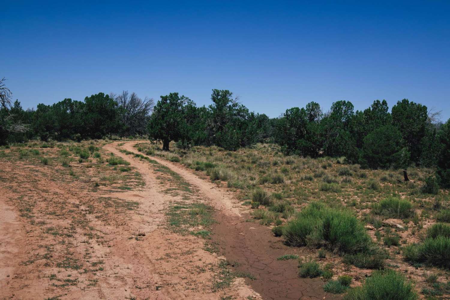
Tarantula

Tarantula

The Tarantula Trail is named for the cattle and wildlife water collection tank that it travels by. This trail cuts from the checkerboarded section of Northern Arizona into the Kaibab National Forest. Please remember to…
Learn more about Tarantula
Total Miles
4.9
Tech Rating
2 Easy
Best Time
Spring, Summer, Fall
Learn more about Tater Canyon
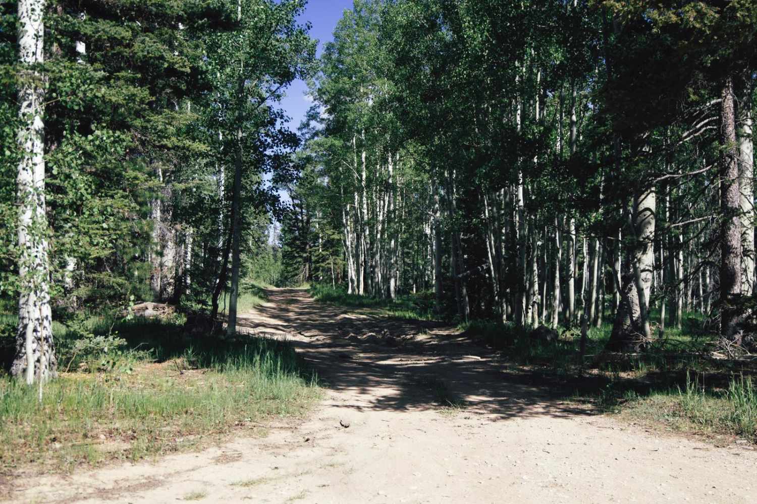
Tater Canyon

Tater Canyon

Tater Canyon is a dust and dirt trail that starts as a narrow not-so-scary shelf road. It goes through a densely forested area into an amazing canyon filled with spacious beautiful meadows. Each end of…
Learn more about Tater Canyon
Total Miles
6.2
Tech Rating
2 Easy
Best Time
Spring, Summer, Fall
Learn more about Tater Ridge
Tater Ridge

Tater Ridge

This trail comes down just north of Grand Canyon National Park. You'll find many options for camping and a lot of different side roads to play on. Unlicensed vehicles are allowed here. If you want…
Learn more about Tater Ridge
Total Miles
16.6
Tech Rating
3 Easy
Best Time
Summer
Learn more about Tea Cup
Tea Cup

Tea Cup

This is a short trail that hangs off of Soldiers Pass but is no less difficult. This trail is filled with narrow sections and slickrock, making it an even more challenging trail more so in…
Learn more about Tea Cup
Total Miles
0.2
Tech Rating
7 Difficult
Best Time
Fall, Spring, Summer
Learn more about Telegraph Line Trail (MT-42)
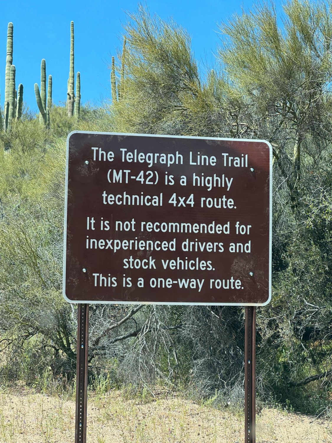
Telegraph Line Trail (MT-42)

Telegraph Line Trail (MT-42)

The beginning of the trail sets the tone for this roughly 12-mile run; if you have trouble with this, the rest of the trail might be miserable. This is a one-way trail starting on North…
Learn more about Telegraph Line Trail (MT-42)
Total Miles
11.4
Tech Rating
7 Difficult
Best Time
Spring, Fall, Winter
Learn more about Telegraph Pass
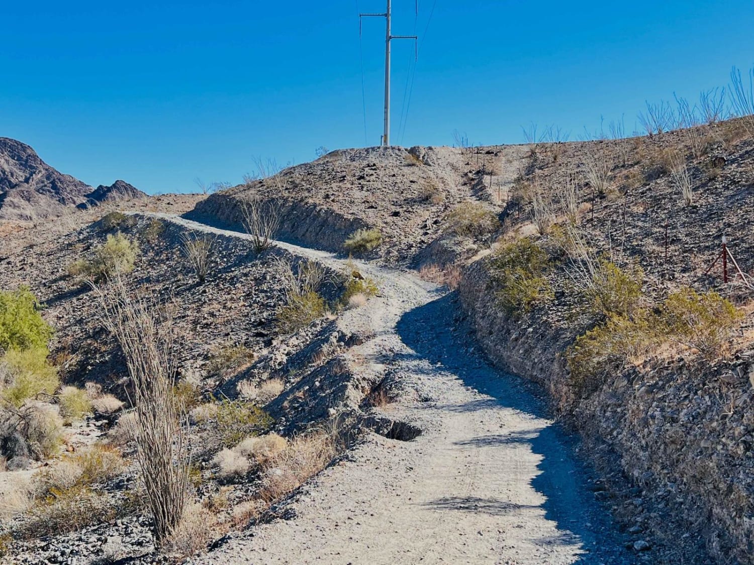
Telegraph Pass

Telegraph Pass

This fun out-and-back trail follows along the popular Telegraph Pass Hiking Trail. It begins just off the frontage road where two-wheel drive vehicles typically stage from. Then it has a small gatekeeper through the wash…
Learn more about Telegraph Pass
Total Miles
1.7
Tech Rating
5 Moderate
Best Time
Spring, Fall, Winter
Learn more about Telegraph Spring Cutoff
Telegraph Spring Cutoff

Telegraph Spring Cutoff

Telegraph Spring Cutoff is an interesting trail. Thought to be a mining access road, this dirt track has lots of erosion and water damage on it. There are a few sporadic campsites along this trail,…
Learn more about Telegraph Spring Cutoff
Total Miles
2.3
Tech Rating
3 Easy
Best Time
Spring, Summer, Fall
Learn more about Telephone Cove
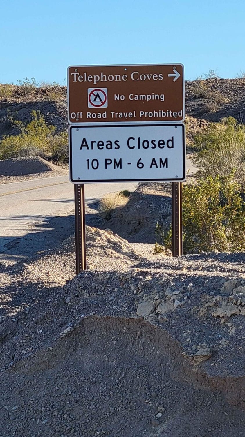
Telephone Cove

Telephone Cove

Grab your bathing suit and paddleboard because Telephone Cove in the Lake Mead Recreation Area is the place to relax and enjoy the water. Both routes--North and South--are wide, maintained dirt roads from the pavement…
Learn more about Telephone Cove
Total Miles
2.4
Tech Rating
1 Easy
Best Time
Spring, Summer, Fall, Winter

The onX Offroad Difference

onX Offroad combines trail photos, descriptions, difficulty ratings, width restrictions, seasonality, and more in a user-friendly interface. Available on all devices, with offline access and full compatibility with CarPlay and Android Auto. Discover what you’re missing today!