Off-Road Trails in Arizona

Discover off-road trails in Arizona

Learn more about US 95 to Muggins Mountain Trails access Route
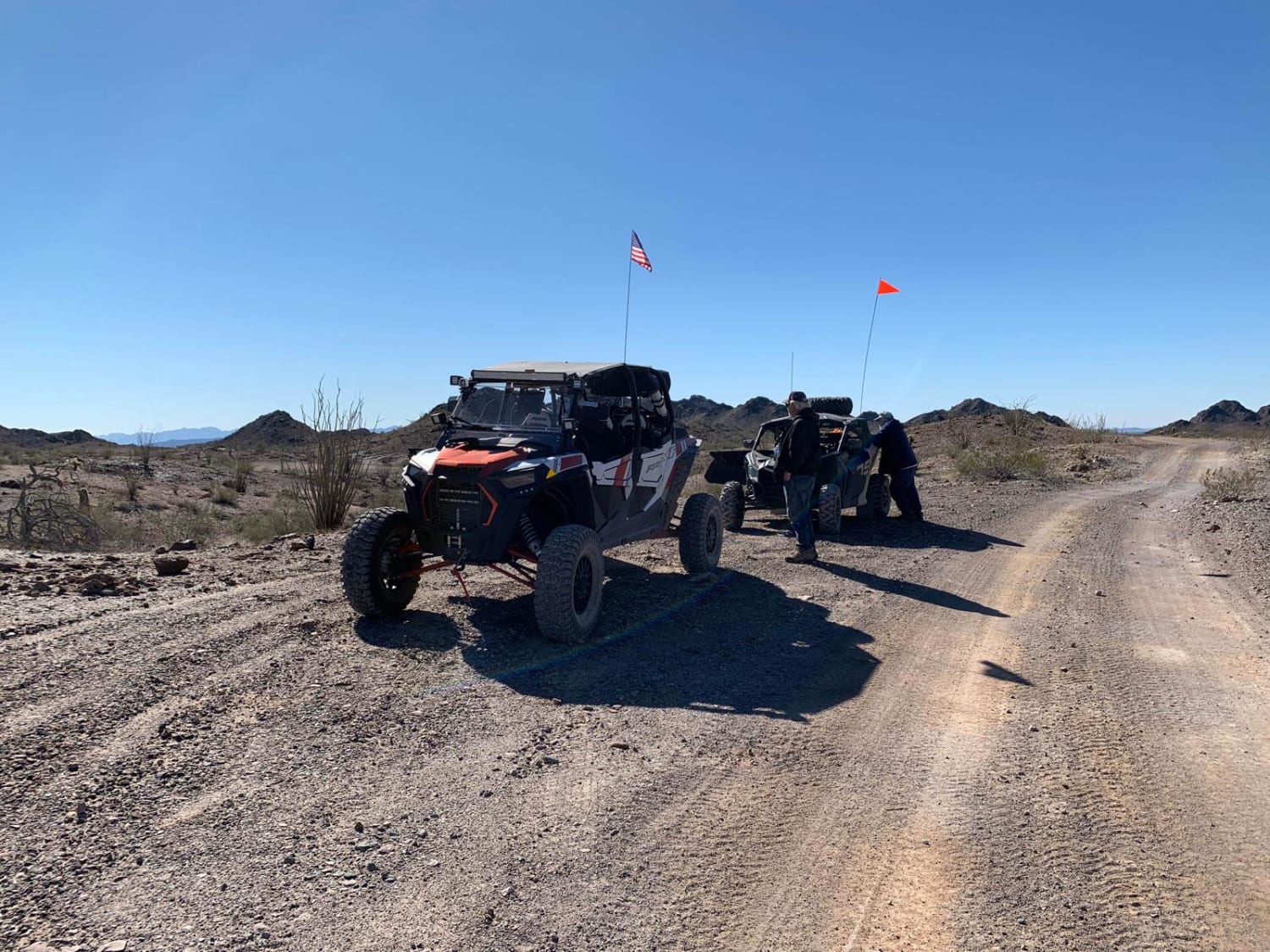
US 95 to Muggins Mountain Trails access Route

US 95 to Muggins Mountain Trails access Route

This is an easy access route from US 95 to the 3 Muggins Mountain Trails: Muggins Mountain West, Muggins Mountain Mid West, and Muggins Mountain East. This trek, if not previously mapped out, can be…
Learn more about US 95 to Muggins Mountain Trails access Route
Total Miles
14.9
Tech Rating
1 Easy
Best Time
Spring, Summer, Fall, Winter
Learn more about V Lazy Y Cabin
V Lazy Y Cabin

V Lazy Y Cabin

This is a loop trail with a really neat old historic cabin and homestead along the way. The trail can be picked up from Highway 260, and from this end of the trail, the cabin…
Learn more about V Lazy Y Cabin
Total Miles
4.7
Tech Rating
3 Easy
Best Time
Spring, Summer, Fall
Learn more about V Loop out of the Washes
V Loop out of the Washes

V Loop out of the Washes

This is a great trail to grab a dispersed campsite and stage for the weekend. From this area, exploring the surrounding mountains and trail networks is easy. This trail is a loop trail out in…
Learn more about V Loop out of the Washes
Total Miles
6.0
Tech Rating
3 Easy
Best Time
Winter, Summer, Spring
Learn more about Vaseys Hiking Trailhead
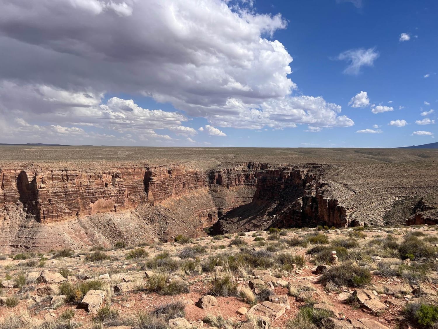
Vaseys Hiking Trailhead

Vaseys Hiking Trailhead

This trail begins with a smooth, wide dirt road for the first mile to the Buffalo Ranch Head Quarters. The trail turns right at this point and goes through an open fence and out to…
Learn more about Vaseys Hiking Trailhead
Total Miles
3.2
Tech Rating
1 Easy
Best Time
Spring, Fall
Learn more about Veggie Nightmare
Veggie Nightmare

Veggie Nightmare

The beginning of this trail (the western end) is a mild nightmare. A fenceline road, it has sections of overgrown trees and shrubbery that guarantee paint damage. The wash crossings, while not overtly problematic, are…
Learn more about Veggie Nightmare
Total Miles
2.1
Tech Rating
2 Easy
Best Time
Spring, Summer, Fall
Learn more about Vekol Wash Southern Leg
Vekol Wash Southern Leg

Vekol Wash Southern Leg

On this trail, there's very deep sand, sections of rough river rock and gravel, and some narrow points requiring caution. There are also numerous long flat sandy stretches where you can really pick up some…
Learn more about Vekol Wash Southern Leg
Total Miles
6.0
Tech Rating
4 Moderate
Best Time
Spring, Fall, Winter
Learn more about Venezia
Venezia

Venezia

Venezia is a short single track in the Prescott National Forest that starts off on the south side of the Senator Highway. Going north to south, the first half starts climbing up right away from…
Learn more about Venezia
Total Miles
1.5
Tech Rating
4 Moderate
Best Time
Spring, Fall
Learn more about Volcano Bumps
Volcano Bumps

Volcano Bumps

The Volcano Bumps trail is a bumpy, rocky trail. There are no obstacles on this trail, but there is erosion and water damage throughout, making it a bit of a slow go. The cell service…
Learn more about Volcano Bumps
Total Miles
3.1
Tech Rating
2 Easy
Best Time
Spring, Summer, Fall
Learn more about Vulture Mine
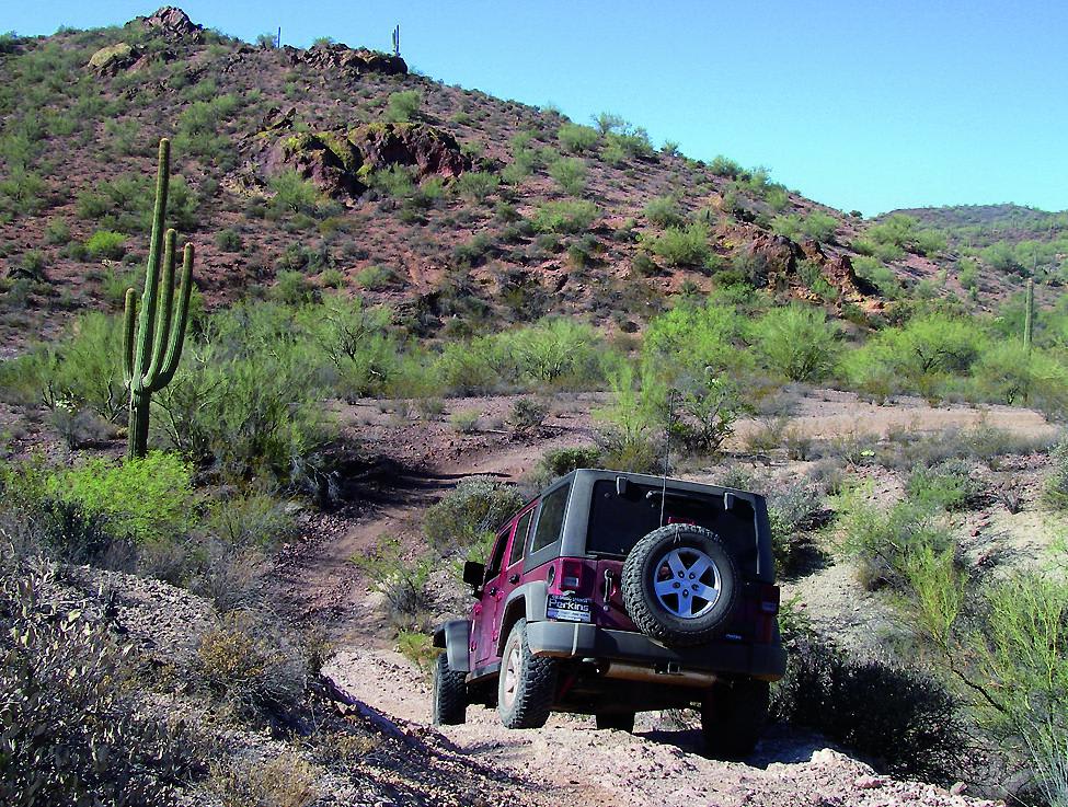
Vulture Mine

Vulture Mine

You'll want to have clear directions on this network of trails as there are many different side roads and washes that branch off of it. Interesting mines and ruins make it a fun route, but…
Learn more about Vulture Mine
Total Miles
12.7
Tech Rating
5 Moderate
Best Time
Fall, Winter
Learn more about Wagon Tracks, Apache Tears and Arnett Canyon
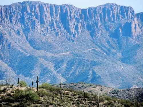
Wagon Tracks, Apache Tears and Arnett Canyon

Wagon Tracks, Apache Tears and Arnett Canyon

Begin at the east end of the airport and follow the trail to the Wagon Tracks. Head south across Queen Creek. The creek can have a natural flow of water after heavy rain, but it…
Learn more about Wagon Tracks, Apache Tears and Arnett Canyon
Total Miles
2.6
Tech Rating
3 Easy
Best Time
Spring, Summer, Fall, Winter
Learn more about Walker Gulch to French Creek
Walker Gulch to French Creek

Walker Gulch to French Creek

Departing the Backway to Crown King trail from Cow Creek Road at Upper French Creek Road, you'll find yourself at the base of Sheep Mountain. Here's the beginning (or end) of the Walker Gulch to…
Learn more about Walker Gulch to French Creek
Total Miles
5.7
Tech Rating
2 Easy
Best Time
Spring
Learn more about Walker Gulch to Senator Highway and Crown King
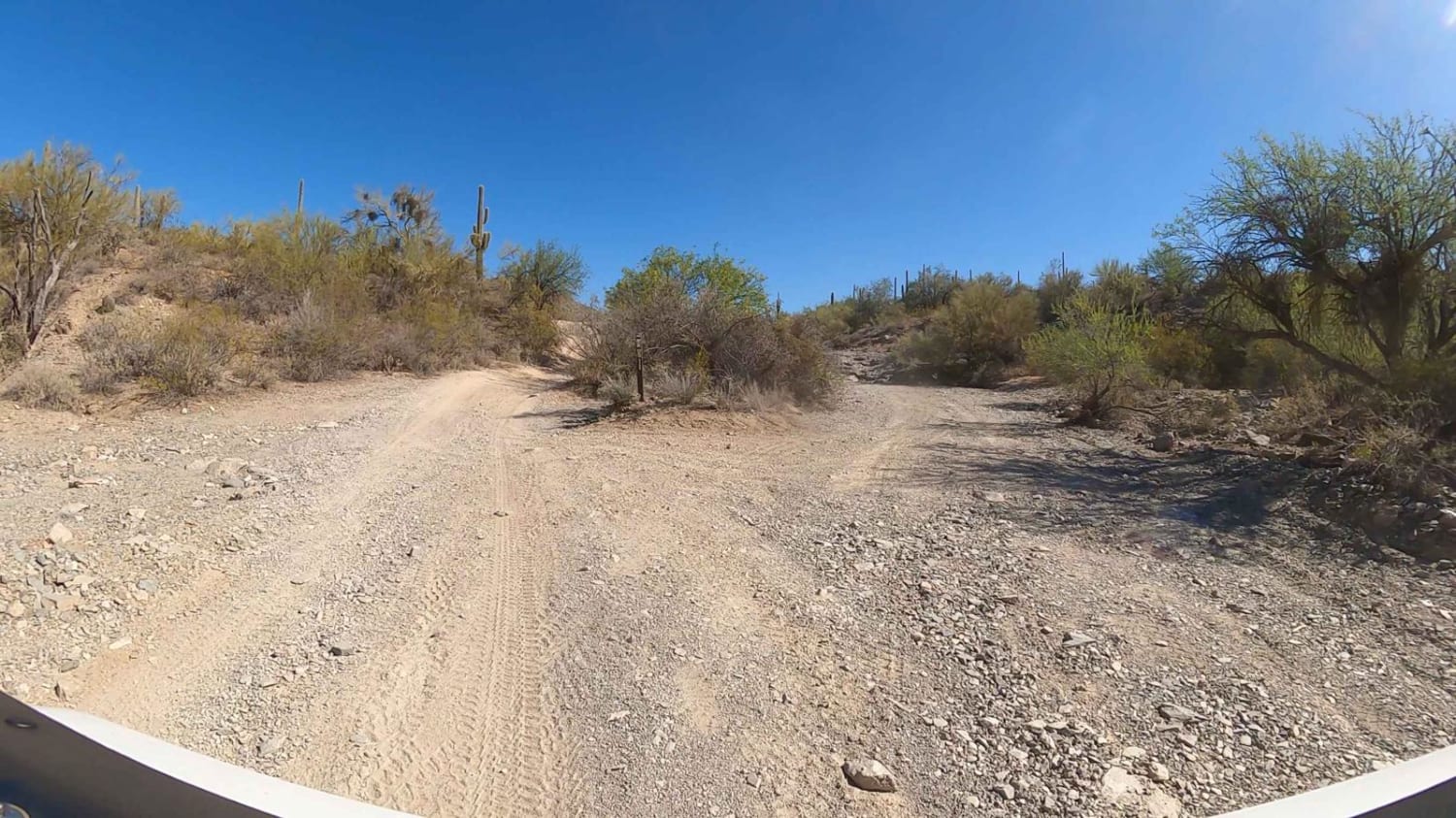
Walker Gulch to Senator Highway and Crown King

Walker Gulch to Senator Highway and Crown King

This route is a spectacular alternative to Cow Creek Road. This route offers some obstacles. However, they're less technical than Cow Creek's. The beauty is traveling the Walker Gulch as it winds and elevation changes.…
Learn more about Walker Gulch to Senator Highway and Crown King
Total Miles
20.3
Tech Rating
5 Moderate
Best Time
Spring, Summer, Fall, Winter
Learn more about Wallace Road
Wallace Road

Wallace Road

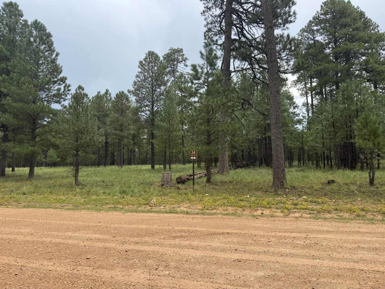
*** Legal requirements vary in this area. Frequent changes - verify with USFS on current restrictions** This route is a very strict public right of way for a section of it. Please respect the private…
Learn more about Wallace Road
Total Miles
13.9
Tech Rating
1 Easy
Best Time
Spring, Summer, Fall
Learn more about Walnut Canyon
Walnut Canyon

Walnut Canyon

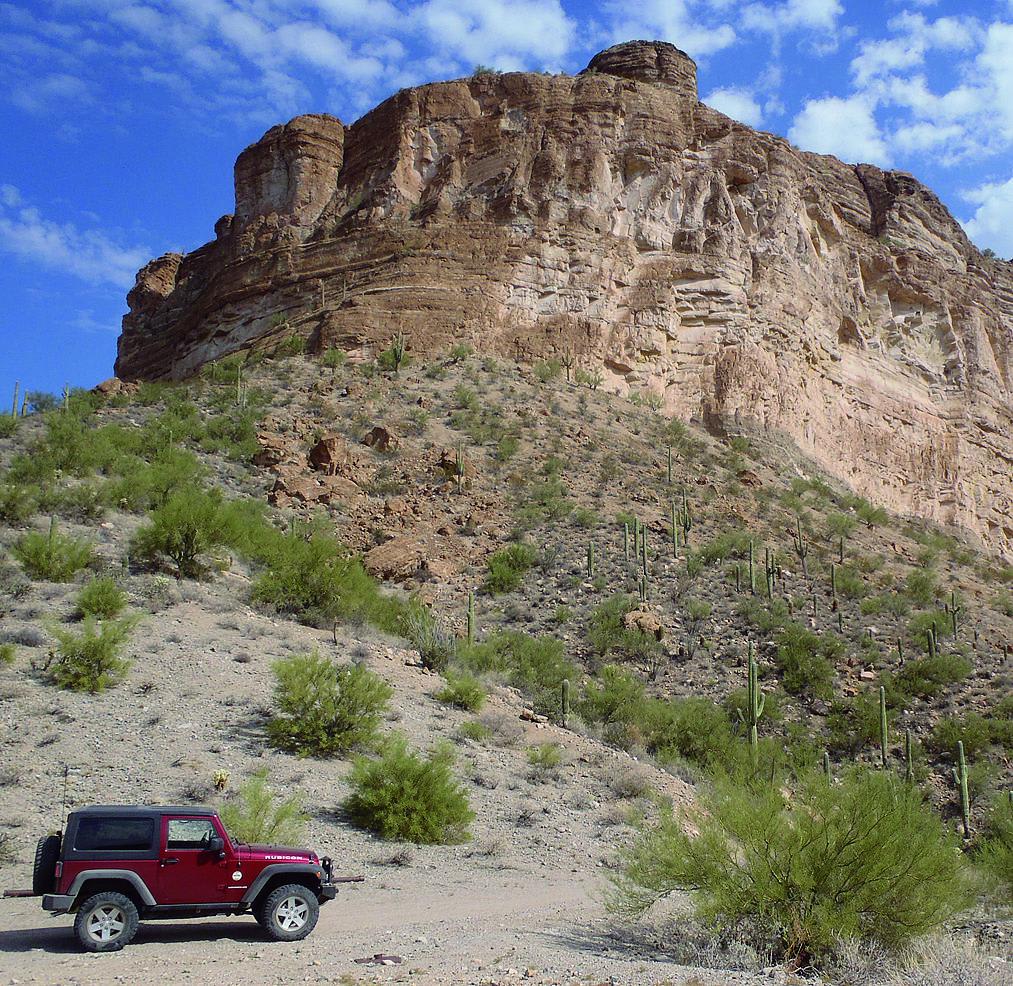
Walnut Canyon is certainly one of the most scenic Jeep trails in the area. It skirts the edge of White Canyon Wilderness, and the canyons and mountains along the trail are spectacular. Much of the…
Learn more about Walnut Canyon
Total Miles
14.1
Tech Rating
5 Moderate
Best Time
Spring, Fall
Learn more about Walnut Creek
Walnut Creek

Walnut Creek

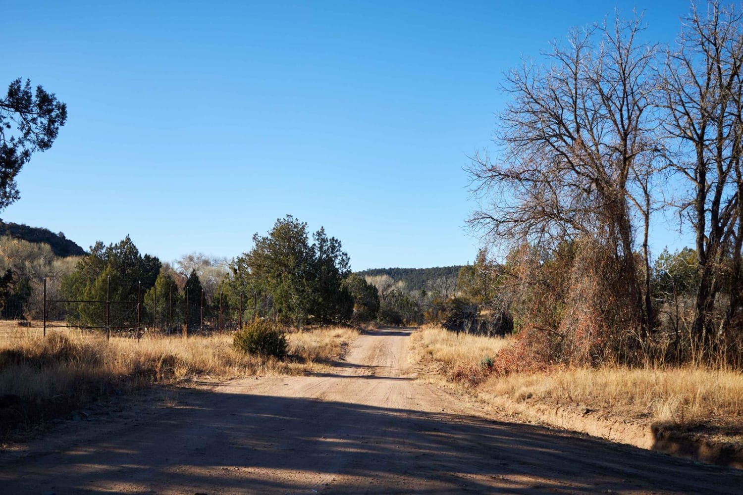
Walnut Creek's north end is peppered with wash crossings, thick juniper, and mixed pine trees. As you progress to the south, you'll move into a beautiful old-growth forest of ponderosa pine. A popular area with…
Learn more about Walnut Creek
Total Miles
10.9
Tech Rating
2 Easy
Best Time
Spring, Summer, Fall
Learn more about Walnut Creek to Survivalist Camp Trail
Walnut Creek to Survivalist Camp Trail

Walnut Creek to Survivalist Camp Trail

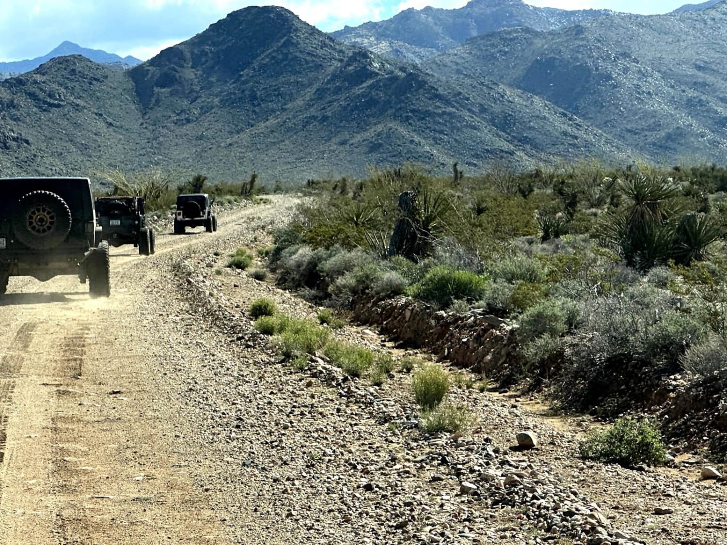
This 17.1-mile point-to-point trail takes you along Walnut Creek (seasonal water flow) past Walnut Ranch and the Hualapai Survivalist Camp and connects to the Hualapai Mountain Trail. At 0.7 miles on the trail, right before…
Learn more about Walnut Creek to Survivalist Camp Trail
Total Miles
16.9
Tech Rating
3 Easy
Best Time
Spring, Summer, Fall, Winter
Learn more about Walnut Overlook
Walnut Overlook

Walnut Overlook

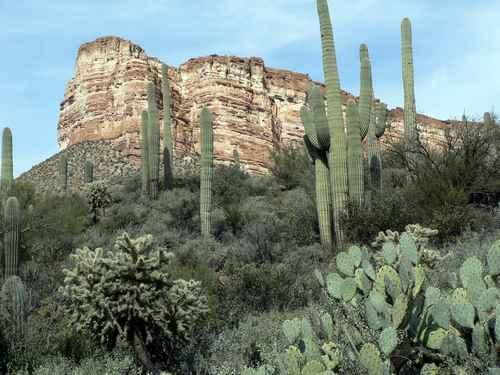
Come off the Walnut Canyon Trail to the Walnut Overlook. This is a level 6 trail difficulty to be sure to have a high clearance vehicle. Expect washes, large rocks, and water crossing depending on…
Learn more about Walnut Overlook
Total Miles
0.6
Tech Rating
6 Moderate
Best Time
Summer, Fall
Learn more about Walnut Spring Trail
Walnut Spring Trail

Walnut Spring Trail

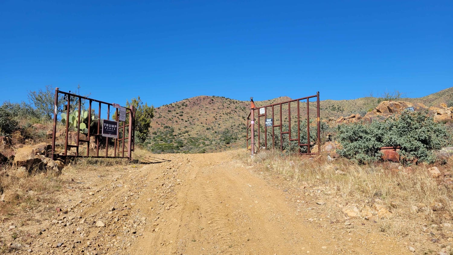
This out-and-back trail begins right off Seven Spring Road, and immediately there is a sandy river wash to cross. Be aware that it could be hazardous in flash flooding conditions. Shortly after, there is a…
Learn more about Walnut Spring Trail
Total Miles
3.5
Tech Rating
2 Easy
Best Time
Spring, Summer, Fall, Winter
Learn more about Ward
Ward

Ward

Ward is a 6.3-mile long single track in the Coconino National Forest south of Flagstaff, Arizona, in the Kelly Motorized Trail System. Most of the trail is made up of many rocky sections, with big…
Learn more about Ward
Total Miles
6.1
Tech Rating
5 Moderate
Best Time
Spring, Fall, Summer
Learn more about Warm Fire Resto
Warm Fire Resto

Warm Fire Resto

The Warm Fire Resto Trail is an easy gravel road that's wide with plenty of places to pass. This trail is marked by a placard at the beginning detailing the damage done to the area…
Learn more about Warm Fire Resto
Total Miles
3.2
Tech Rating
1 Easy
Best Time
Spring, Summer, Fall

The onX Offroad Difference

onX Offroad combines trail photos, descriptions, difficulty ratings, width restrictions, seasonality, and more in a user-friendly interface. Available on all devices, with offline access and full compatibility with CarPlay and Android Auto. Discover what you’re missing today!