Off-Road Trails in Arizona

Discover off-road trails in Arizona

Learn more about White Horse Traverse
White Horse Traverse

White Horse Traverse

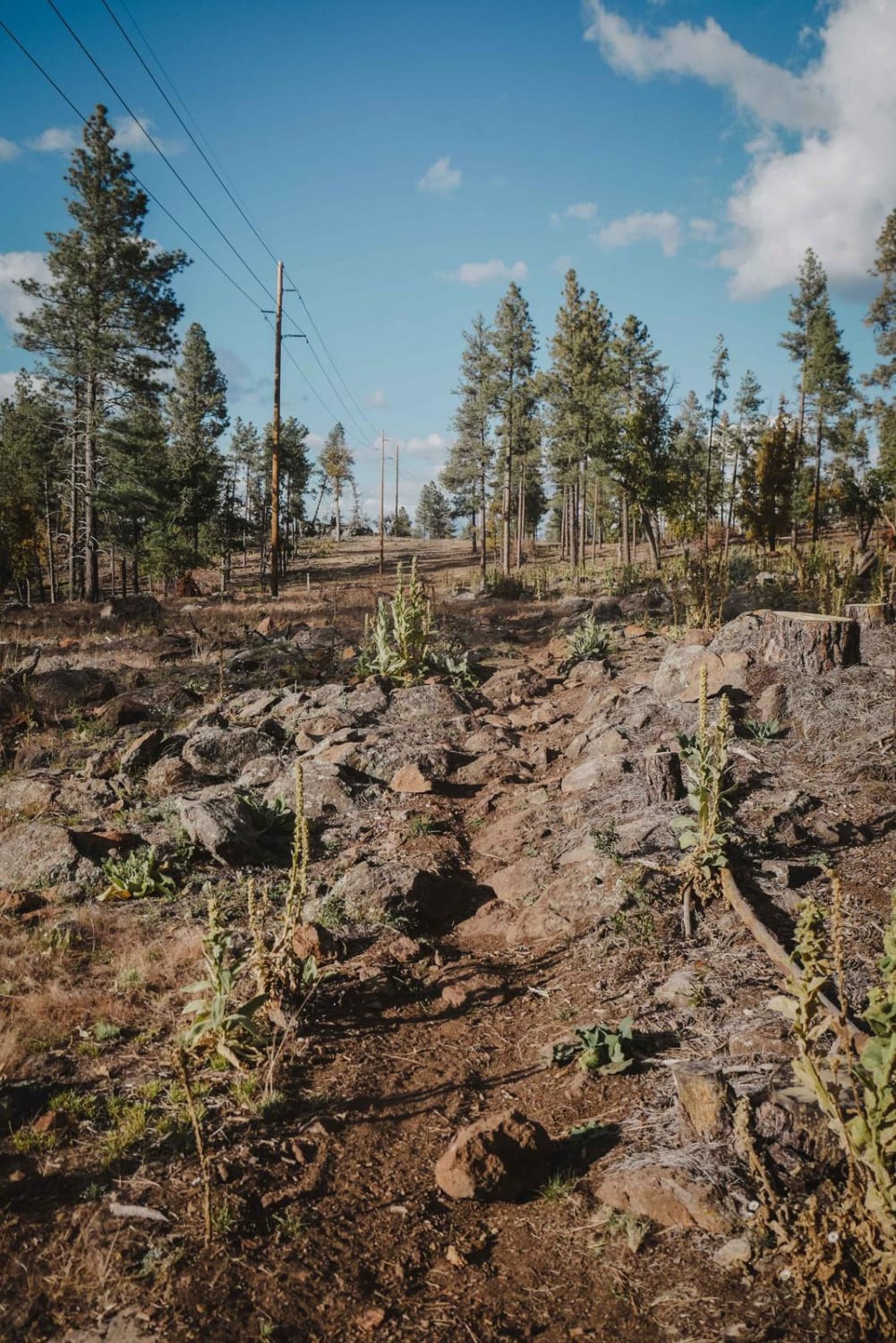
The White Horse Traverse is a beautiful one-lane trail that has no major obstacles on it. This trail traverses from the mountainside mixed-terrain of Ponderosa Pines and grassland to the Juniper Trees and scrub brush…
Learn more about White Horse Traverse
Total Miles
4.1
Tech Rating
2 Easy
Best Time
Spring, Summer, Fall
Learn more about White Peaks
White Peaks

White Peaks

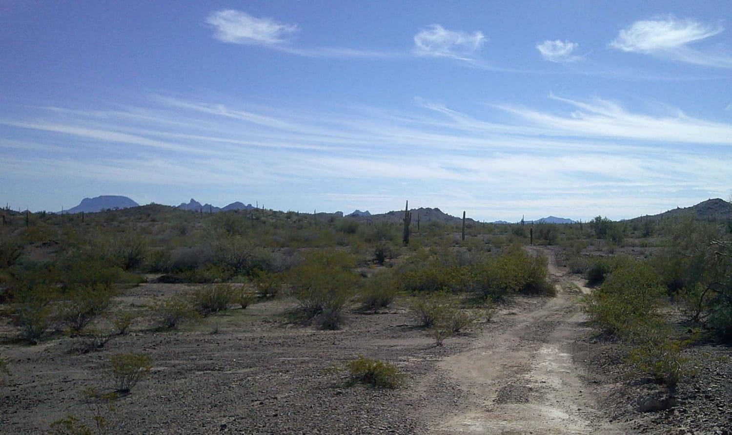
White Peaks road is a multi-mixed surface road of rock, sand, gravel, and dirt. There are sections of this road that run through or in a wash, the sand can be deep in areas, and…
Learn more about White Peaks
Total Miles
3.1
Tech Rating
2 Easy
Best Time
Summer, Spring, Fall
Learn more about White Pocket Road
White Pocket Road

White Pocket Road

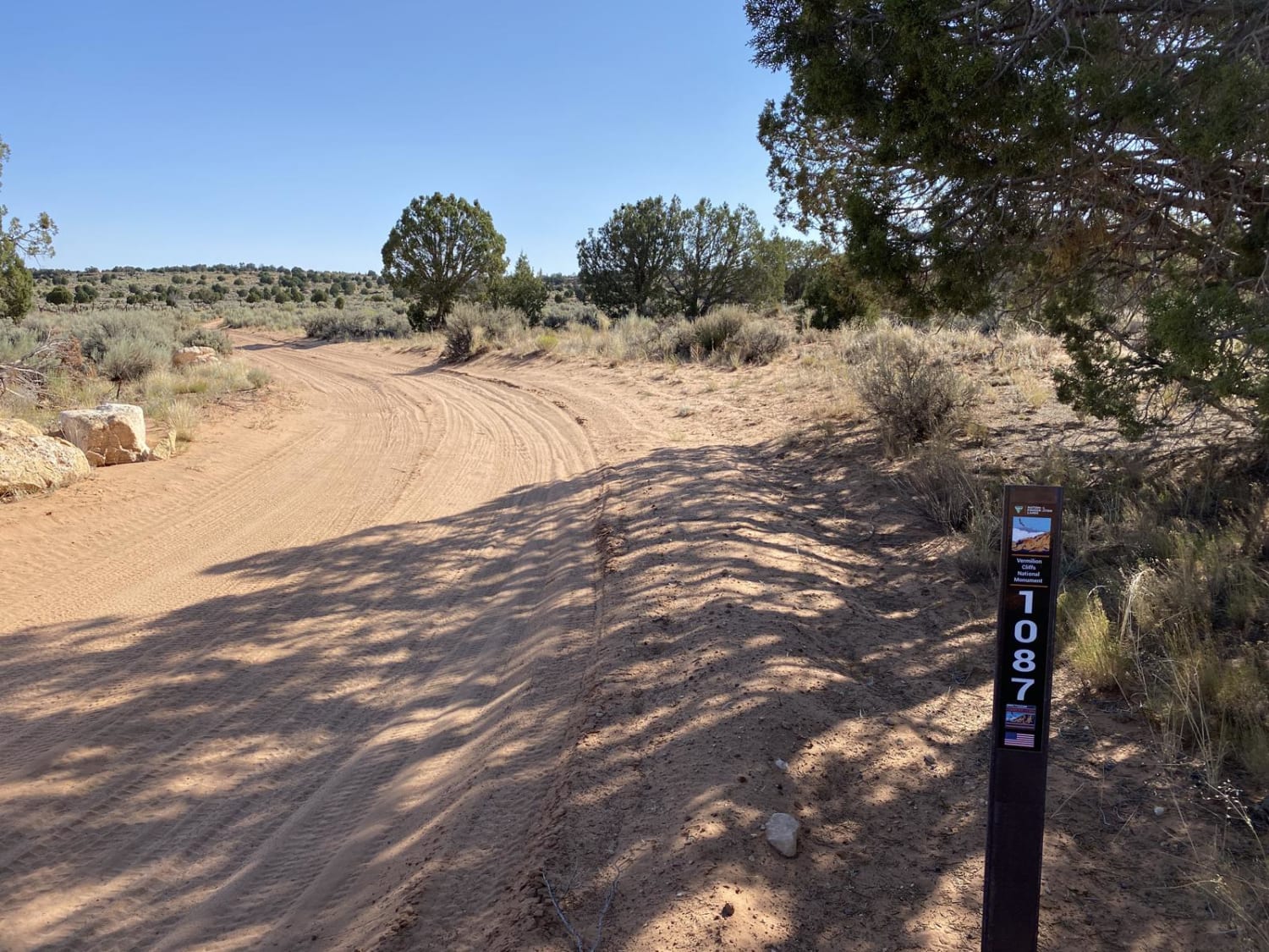
The road to White Pocket stretches for nearly 10 miles. It is nearly all sand from start to finish. When the sand is shallow, the road is bumpy due to the washboard hard pack underneath.…
Learn more about White Pocket Road
Total Miles
9.3
Tech Rating
5 Moderate
Best Time
Spring, Summer, Fall, Winter
Learn more about White Rocks Single Track
White Rocks Single Track

White Rocks Single Track

This is a 1-mile single track that runs south to north in the Arizona Strip and connects two ATV trails. The north end goes right past a couple of huge piles of white rocks. It's…
Learn more about White Rocks Single Track
Total Miles
1.0
Tech Rating
3 Easy
Best Time
Spring, Winter, Fall
Learn more about Whitmore Canyon Colorado River Overlook
Whitmore Canyon Colorado River Overlook

Whitmore Canyon Colorado River Overlook

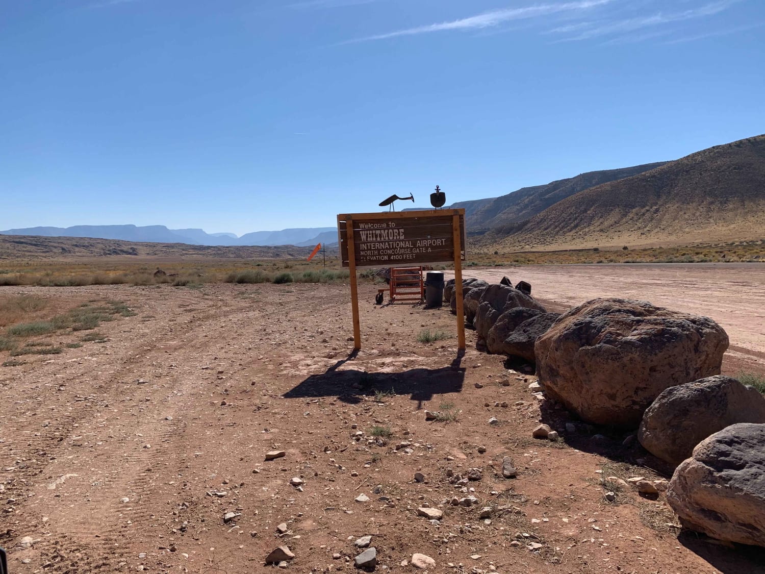
This route trail heads from the Mount Trumbull Schoolhouse approximately 50 miles south of St. George, Utah. This is a fun and informational adventure into the Grand Canyon National Park with an overlook approximately 1500…
Learn more about Whitmore Canyon Colorado River Overlook
Total Miles
23.2
Tech Rating
2 Easy
Best Time
Spring, Summer, Fall, Winter
Learn more about WhoopDeDo Roller Coaster
WhoopDeDo Roller Coaster

WhoopDeDo Roller Coaster

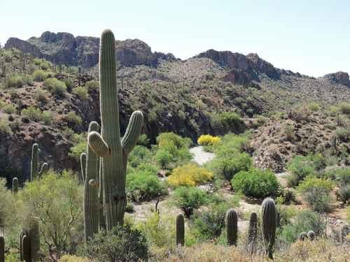
This Jeep trail will take you a different way into the area north of Box Canyon. The route in from SR 79 is easy, and the eastern end of this entry is very scenic with…
Learn more about WhoopDeDo Roller Coaster
Total Miles
21.0
Tech Rating
6 Moderate
Best Time
Fall, Summer
Learn more about Wickenburg Mountains
Wickenburg Mountains

Wickenburg Mountains

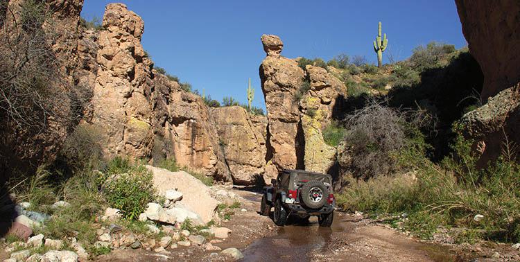
If you are looking for a remote ride with great points of interest, this is it. Enjoy beautiful mountain views, visit Bradshaw's Grave and an old homestead at Copperopolis Townsite. You can return the way…
Learn more about Wickenburg Mountains
Total Miles
18.5
Tech Rating
6 Difficult
Best Time
Summer
Learn more about Widow Maker Pass
Widow Maker Pass

Widow Maker Pass

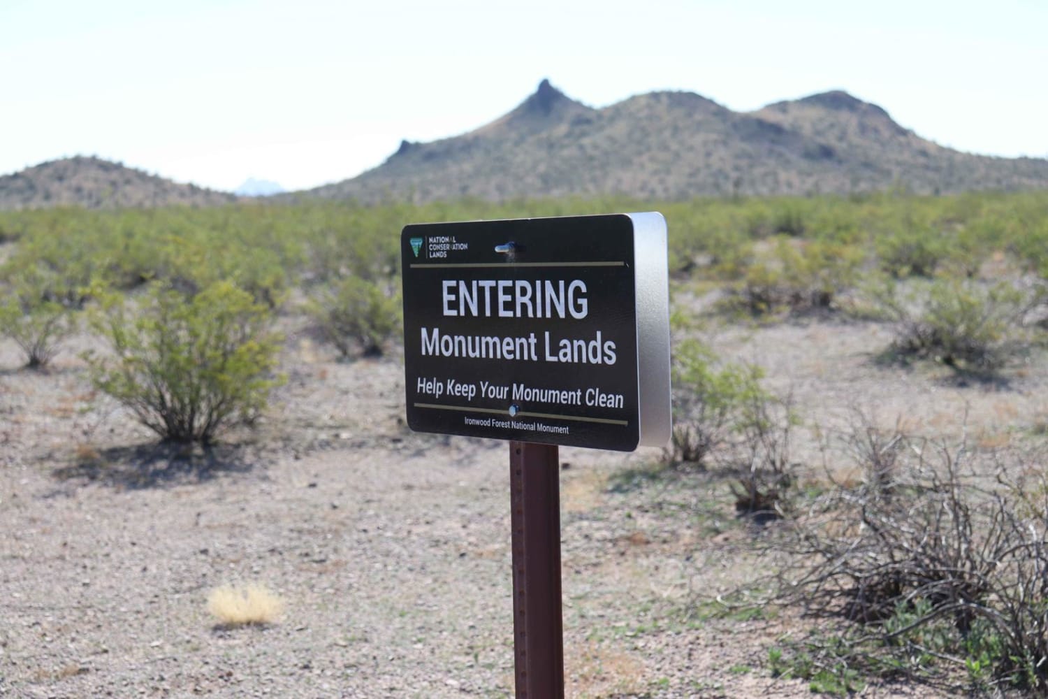
After you enter the gate, you go through a little sand, take a left, and head to the Sawtooth Mountains. Continue on the trail past the Ironwood Forest National Monument. There's wonderful scenery as you…
Learn more about Widow Maker Pass
Total Miles
7.3
Tech Rating
4 Moderate
Best Time
Spring, Summer, Fall, Winter
Learn more about Wilbur Tank Trail
Wilbur Tank Trail

Wilbur Tank Trail

Bumpy volcanic stones cannot be avoided on this trail. The rocks make for a slow driving experience. The Wilbur Tank is on the larger side and even attracts ducks. After a nice wet winter, it…
Learn more about Wilbur Tank Trail
Total Miles
2.8
Tech Rating
3 Easy
Best Time
Spring, Fall, Winter
Learn more about Wild Bill 7
Wild Bill 7

Wild Bill 7

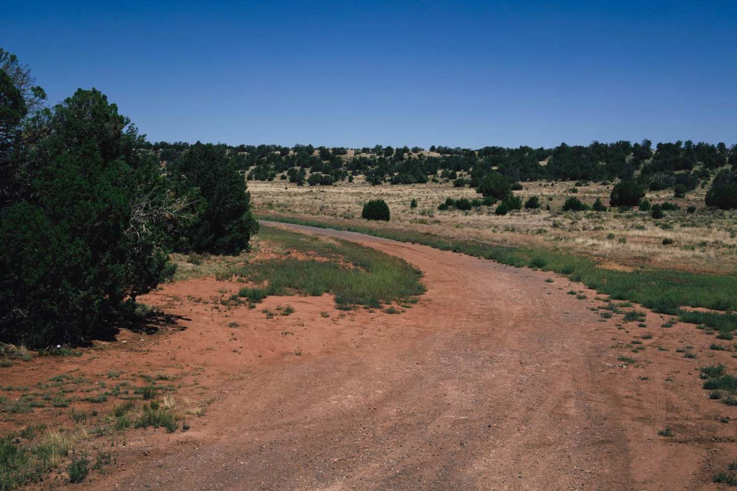
The Wild Bill 7 Trail is an easy trail that serves as a main access point for hunters in the area. There are no obstacles on this trail and sparse cell service, so offline maps…
Learn more about Wild Bill 7
Total Miles
7.8
Tech Rating
1 Easy
Best Time
Spring, Summer, Fall
Learn more about Wild Flower Pass (CR 717/Trail 1835)
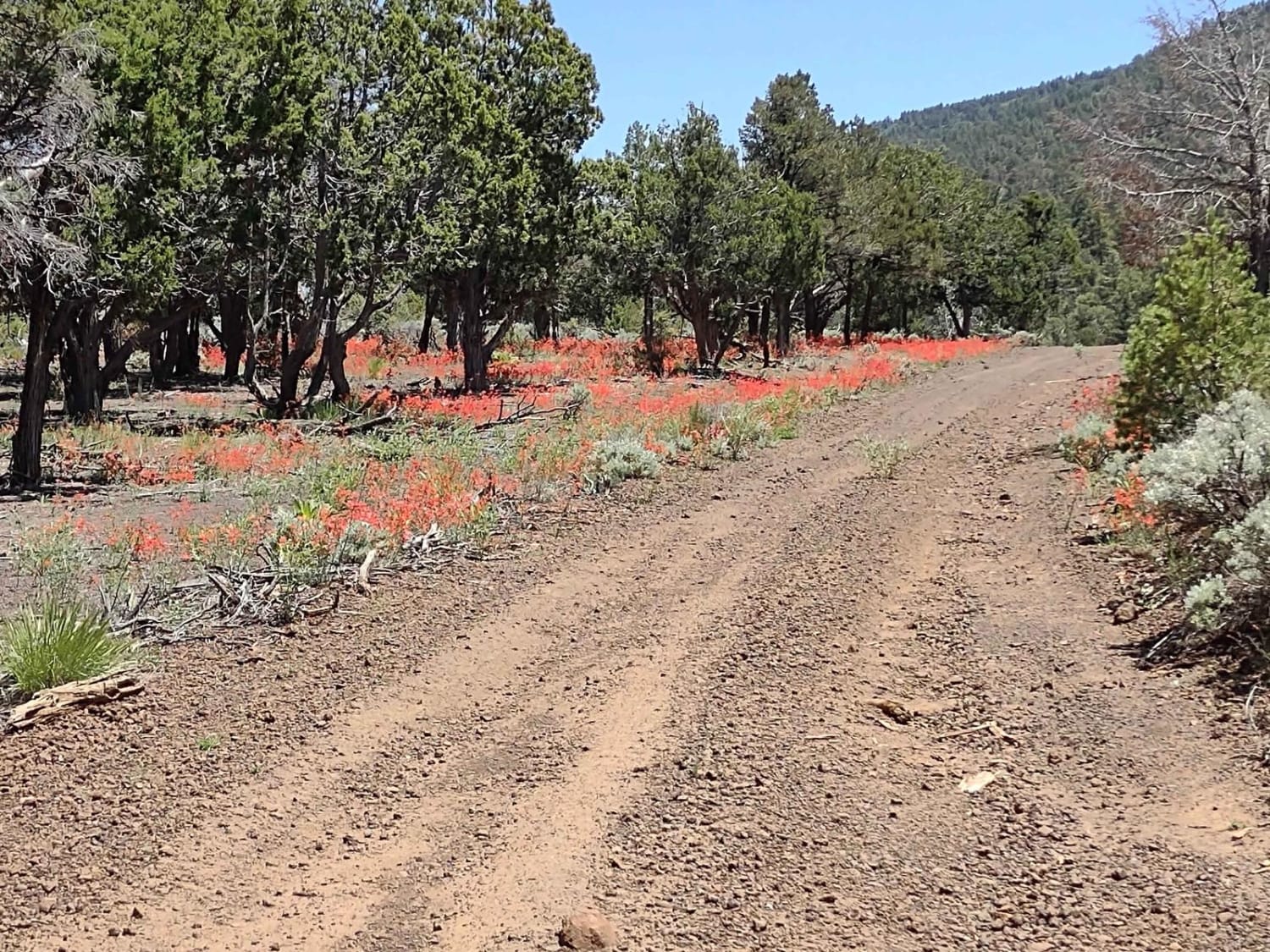
Wild Flower Pass (CR 717/Trail 1835)

Wild Flower Pass (CR 717/Trail 1835)

Wild Flower Pass moves east to west along the northern edge of the Mount Trumbull Wilderness. It's a seldom-used trail, which is great, and in the springtime, wildflowers in every color of the rainbow are…
Learn more about Wild Flower Pass (CR 717/Trail 1835)
Total Miles
6.1
Tech Rating
2 Easy
Best Time
Spring, Summer, Fall
Learn more about Wilderness Edge
Wilderness Edge

Wilderness Edge

Wilderness Edge is an out-and-back wash trail that dead-ends at the very edge of the Warm Springs Wilderness. The distance is 3 miles to the end of the trail; 6 miles roundtrip. The route begins…
Learn more about Wilderness Edge
Total Miles
2.9
Tech Rating
4 Moderate
Best Time
Spring, Summer, Fall, Winter
Learn more about Wildlife Water Run
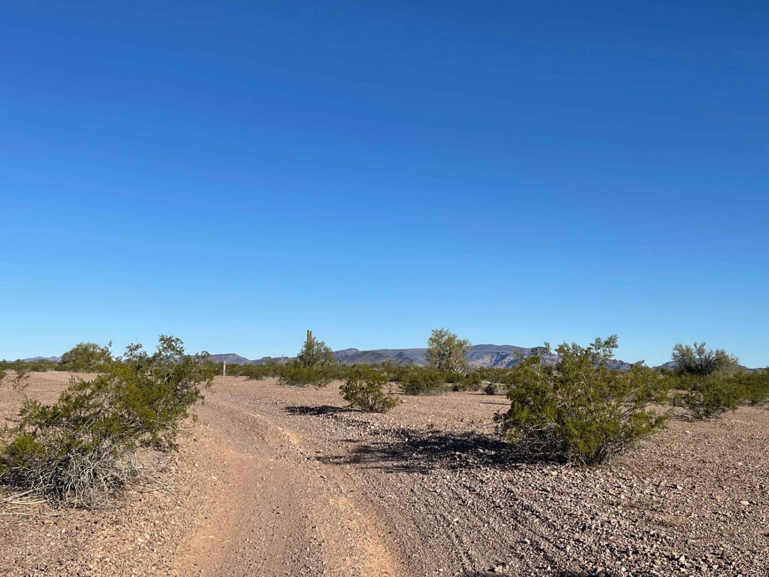
Wildlife Water Run

Wildlife Water Run

This fun out-and-back route heads from the main Arizona Peace Trail into the wilderness, ending at the Yuma Naval Range Boundary. Be aware there is no trespassing into this active bombing range, and the area…
Learn more about Wildlife Water Run
Total Miles
7.4
Tech Rating
3 Easy
Best Time
Spring, Fall
Learn more about Wildlife Way
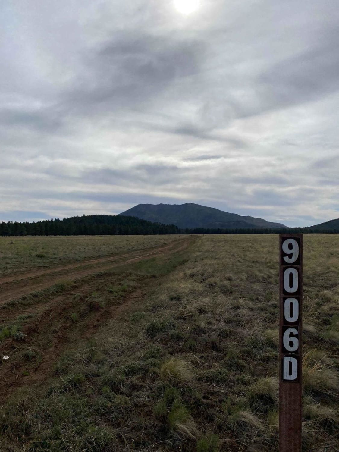
Wildlife Way

Wildlife Way

This is a fun, beautiful loop trail around Horseshoe Hill in the Coconino National Forest. You'll experience a mix of ponderosa pine forests and high-elevation meadows. Due to the location, and depending on the time…
Learn more about Wildlife Way
Total Miles
8.6
Tech Rating
2 Easy
Best Time
Spring, Summer, Fall
Learn more about Willard
Willard

Willard

Willard is an easy single track in the Kelly Motorized Trail System that is much easier and less rocky than the parallel Interstate Trail. This one is a smooth, fast, and flowy trail through a…
Learn more about Willard
Total Miles
4.7
Tech Rating
3 Easy
Best Time
Spring, Summer, Fall
Learn more about Williamson Valley Road
Williamson Valley Road

Williamson Valley Road

Williamson Valley Road is the main artery that accesses the Northern section of the Prescott National Forest. The road is somewhat maintained, with it being scraped and graded several times a year. The road is…
Learn more about Williamson Valley Road
Total Miles
21.4
Tech Rating
1 Easy
Best Time
Spring, Summer, Winter, Fall
Learn more about Williamson Valley Tank
Williamson Valley Tank

Williamson Valley Tank

This trail has numerous dry creek crossings that could prove hazardous in wet conditions. It is also narrow, with paint damage guaranteed. The benefit is that this trail goes through the heart of a beautiful,…
Learn more about Williamson Valley Tank
Total Miles
1.3
Tech Rating
2 Easy
Best Time
Spring, Summer, Fall
Learn more about Willow Springs OHV trail
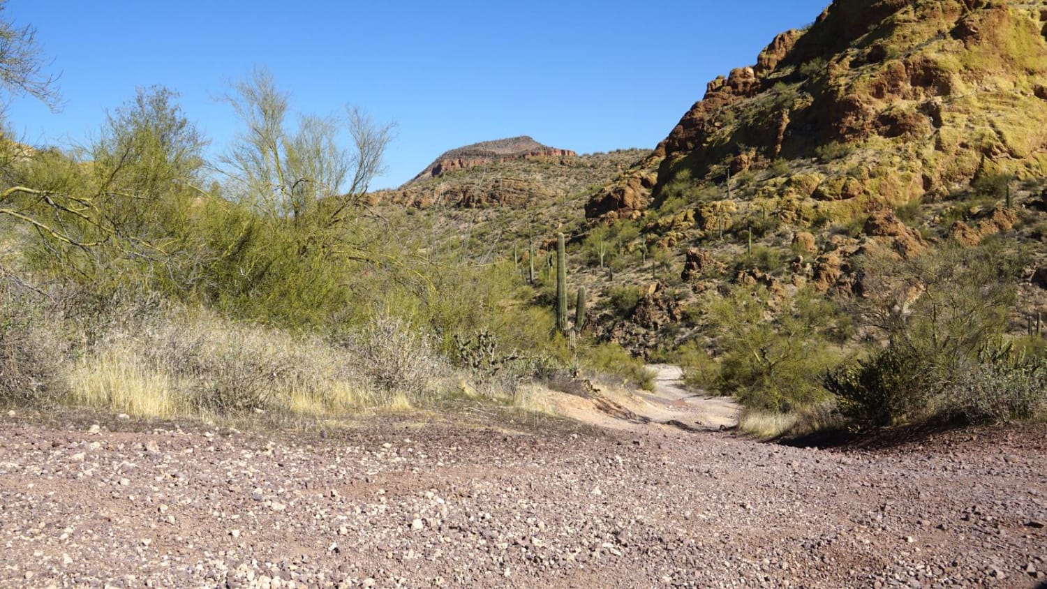
Willow Springs OHV trail

Willow Springs OHV trail

Willow Springs OHV trail is part of the Bulldog Canyon area and each vehicle needs to obtain a free six-month permit from Recreation.gov. This trail is one of two splits. The FR12 portion is 7-mile,…
Learn more about Willow Springs OHV trail
Total Miles
3.5
Tech Rating
6 Moderate
Best Time
Spring, Fall, Winter
Learn more about Wilson Draw
Wilson Draw

Wilson Draw

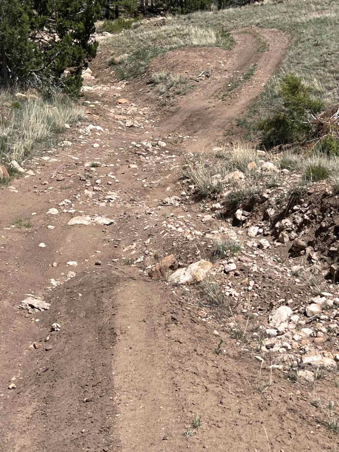
This trail is a refreshing break traveling through an arroyo. There are some uneven areas and rocks that add complexity to the ride. There are rocks and trees by the trail that invite you to…
Learn more about Wilson Draw
Total Miles
2.1
Tech Rating
4 Moderate
Best Time
Spring, Fall, Summer
Learn more about Wind Mountain Trail #410
Wind Mountain Trail #410

Wind Mountain Trail #410

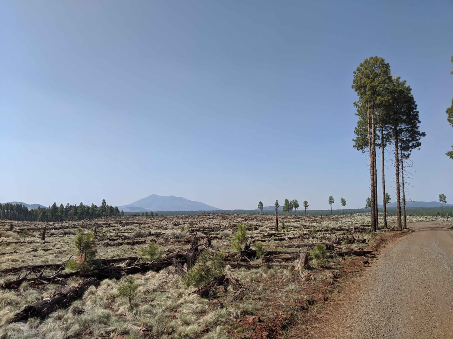
During the winter this road is used for snow activities, such as snowmobile. This road does have spotty cell phone service and has access to other roads around it. There is no camping or campfires…
Learn more about Wind Mountain Trail #410
Total Miles
4.8
Tech Rating
1 Easy
Best Time
Spring, Summer, Fall, Winter

The onX Offroad Difference

onX Offroad combines trail photos, descriptions, difficulty ratings, width restrictions, seasonality, and more in a user-friendly interface. Available on all devices, with offline access and full compatibility with CarPlay and Android Auto. Discover what you’re missing today!