Off-Road Trails in Arizona

Discover off-road trails in Arizona

Learn more about Red Line
Red Line

Red Line

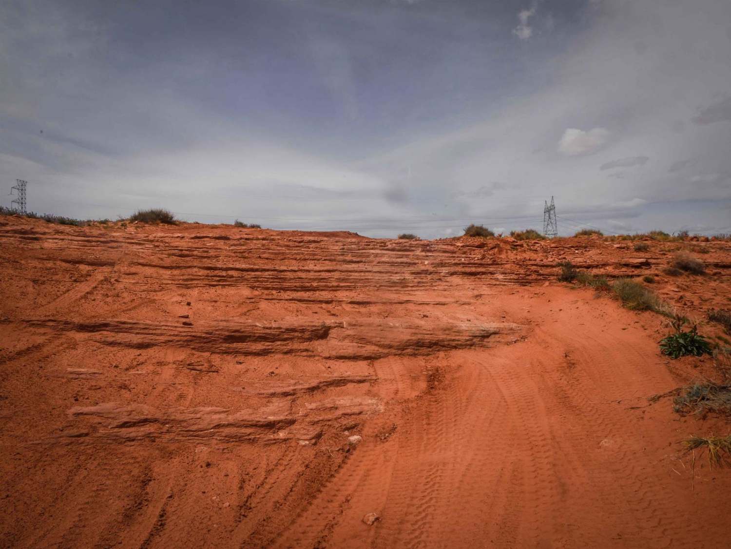
Red Line is mostly a long series of short, steep hills with enough obstacles thrown in to keep it interesting. This Standard Wash area has an uncountable number of legal Jeep trails. Red Line gives…
Learn more about Red Line
Total Miles
19.8
Tech Rating
7 Difficult
Best Time
Summer, Fall, Spring
Learn more about Red Mountain Trail
Red Mountain Trail

Red Mountain Trail

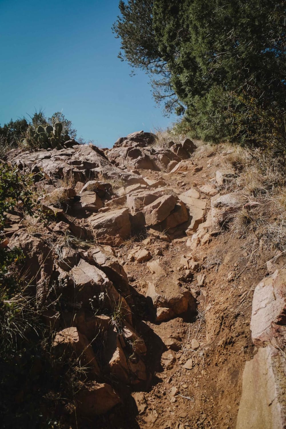
Red Mountain Trail is an advanced single track in the Green Gulch Trail System made up of rock ledges obstacles, loose dirt, embedded boulders, and steep sections of climbing/descent. From the intersection with Prospectors, it…
Learn more about Red Mountain Trail
Total Miles
1.8
Tech Rating
7 Difficult
Best Time
Spring, Fall
Learn more about Red Pockets Road & Poverty Cabin (1081)
Red Pockets Road & Poverty Cabin (1081)

Red Pockets Road & Poverty Cabin (1081)

Red Pocket Roads is a fun way to traverse toward White Pockets off the main road and is a 5.9-mile point-to-point trail rated 3 of 10 located within the Vermillion Cliffs National Monument. It is…
Learn more about Red Pockets Road & Poverty Cabin (1081)
Total Miles
5.9
Tech Rating
2 Easy
Best Time
Summer, Fall, Spring
Learn more about Red Rim
Red Rim

Red Rim

Red Rim is a 3-mile loop on top of one of the mesas in this red sandy desert by Page, Arizona. It has awesome views out towards Glen Canyon and toward the town of Page.…
Learn more about Red Rim
Total Miles
3.1
Tech Rating
3 Easy
Best Time
Winter, Spring
Learn more about Red Rock Powerline Trail
Red Rock Powerline Trail

Red Rock Powerline Trail

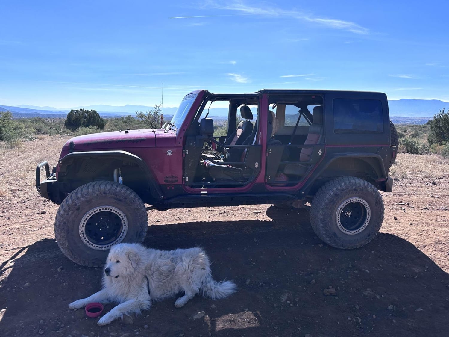
This 6.4-mile point-to-point trail takes you from Bill Gray Road along power lines up to the start of Casner Mountain Trail. For a power line road, this trail has very scenic views of the surrounding…
Learn more about Red Rock Powerline Trail
Total Miles
6.7
Tech Rating
3 Easy
Best Time
Spring, Summer, Fall, Winter
Learn more about Red Rover, Red Rover
Red Rover, Red Rover

Red Rover, Red Rover

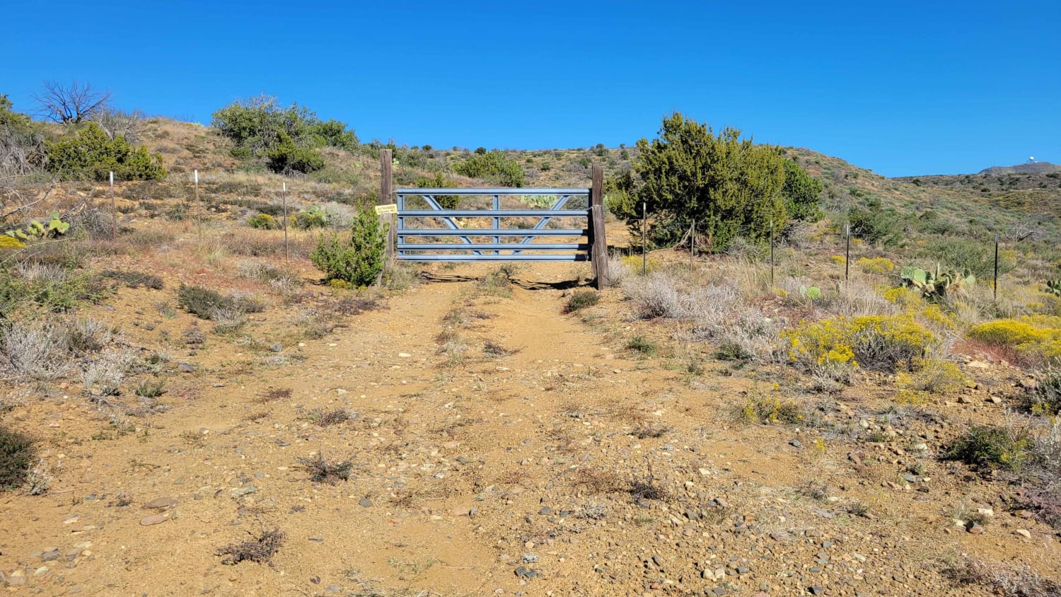
This out-and-back trail is a bit more of a challenge but does offer dispersed camping near the beginning. There are several rock garden areas to navigate, a couple being on steep grades. There is a…
Learn more about Red Rover, Red Rover
Total Miles
2.2
Tech Rating
5 Moderate
Best Time
Summer, Spring, Fall
Learn more about Red Skinner Road
Red Skinner Road

Red Skinner Road

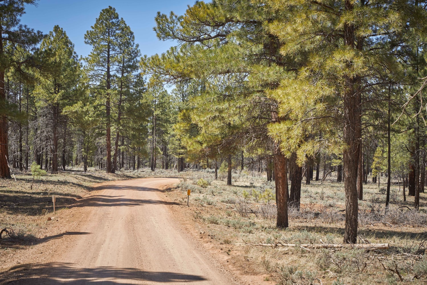
Red Skinner Road is a broad, well-maintained dirt/gravel Forest Road. Similar to Boundary Old 320 Road, you'll find large primitive pull-through campsites that can house up to a 5th wheel and large travel trailers. The…
Learn more about Red Skinner Road
Total Miles
4.9
Tech Rating
1 Easy
Best Time
Spring, Summer, Fall
Learn more about Red Springs Pass
Red Springs Pass

Red Springs Pass

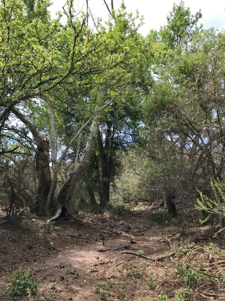
Beautiful scenic trail that takes you through the middle of the Tumacacori mountains range. The first leg of the trail heading south from Amado requires high clearance and 4wd to navigate the washes and steep…
Learn more about Red Springs Pass
Total Miles
17.3
Tech Rating
5 Moderate
Best Time
Spring, Summer
Learn more about Redington Pass
Redington Pass

Redington Pass

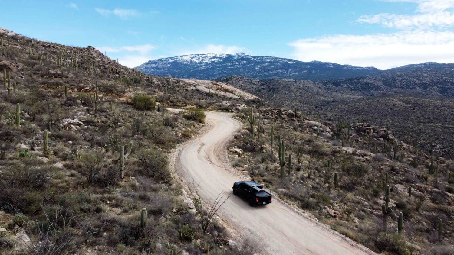
Redington Pass is a very popular two-lane road with lots of dispersed camping on the western slope overlooking Tucson. This pass varies in difficulty from deep ruts and washouts with many full washes. Most of…
Learn more about Redington Pass
Total Miles
24.1
Tech Rating
3 Easy
Best Time
Spring, Summer, Fall, Winter
Learn more about Reese Canyon
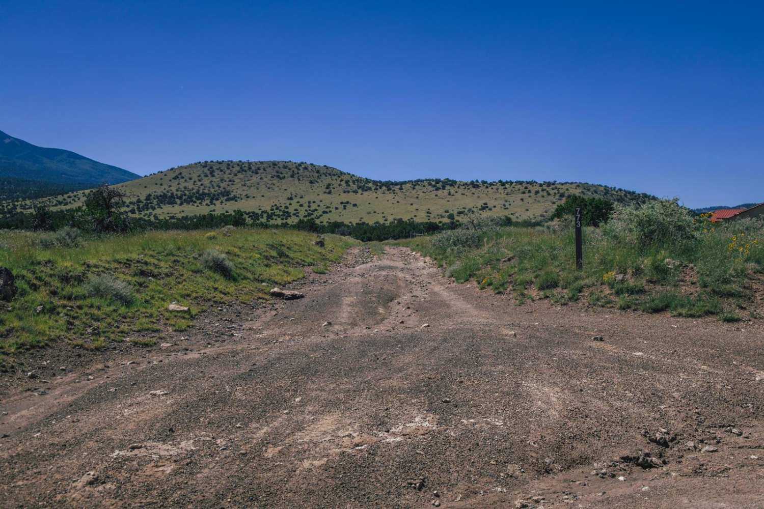
Reese Canyon

Reese Canyon

Reese Canyon is a wide and rocky trail with no major obstacles on it. There is an erosion-type gatekeeper at the North end with will put you off-camber, and could possibly worsen over time as…
Learn more about Reese Canyon
Total Miles
5.5
Tech Rating
2 Easy
Best Time
Spring, Summer, Fall
Learn more about Reimer Road to Squaw Peak Road
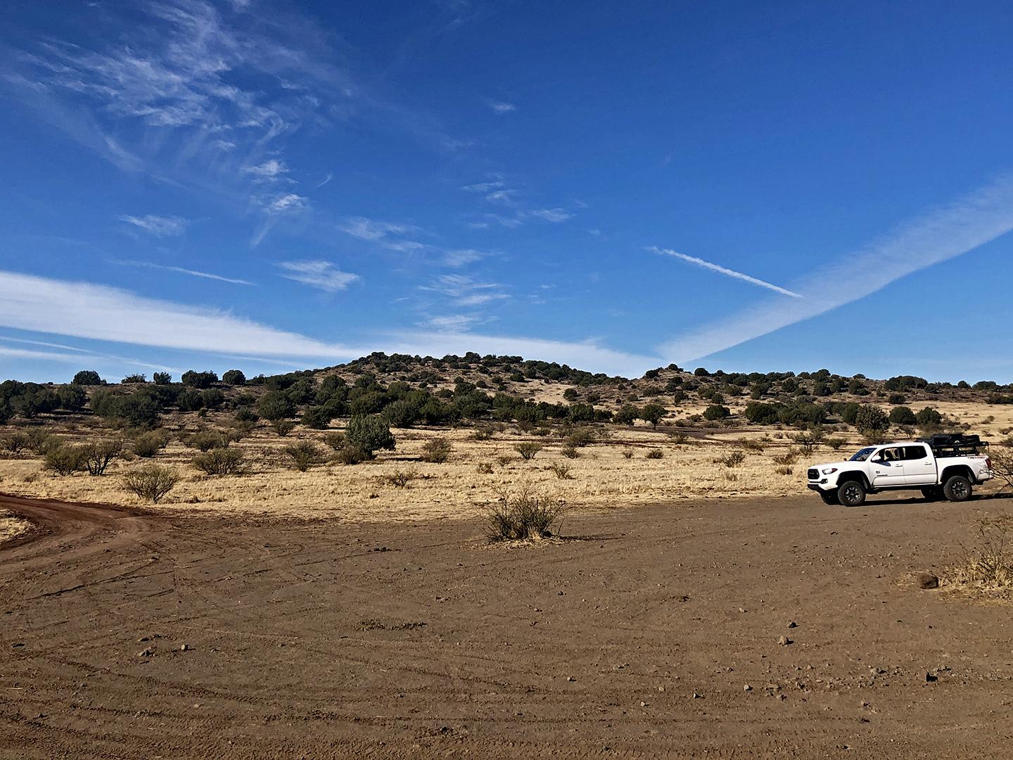
Reimer Road to Squaw Peak Road

Reimer Road to Squaw Peak Road

This is a trail suitable for stock 2WD SUVs with higher clearance. The trail takes you through the scenic plains of the Prescott National Forest. There are small sections with loose rocks and dry river…
Learn more about Reimer Road to Squaw Peak Road
Total Miles
36.7
Tech Rating
2 Easy
Best Time
Spring, Summer, Fall, Winter
Learn more about Rennir Mountain - Old Highway 80
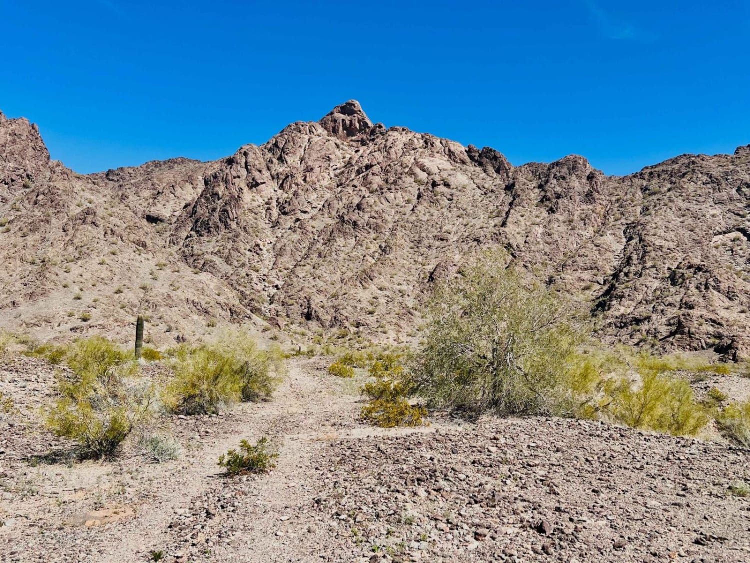
Rennir Mountain - Old Highway 80

Rennir Mountain - Old Highway 80

The trail is located off Old Highway 80, and the turn comes up quickly, so keep your eyes out for it. This area is a beautiful little mountain landscape with lovely campsite options close to…
Learn more about Rennir Mountain - Old Highway 80
Total Miles
2.0
Tech Rating
2 Easy
Best Time
Spring, Winter
Learn more about Reservation View
Reservation View

Reservation View

Reservation View is an easy-going trail with a great view of the Navajo Reservation via dirt road. This one-lane trail has no obstacles on it, though it does boast some beautiful views. There are 2…
Learn more about Reservation View
Total Miles
5.5
Tech Rating
2 Easy
Best Time
Spring, Summer, Fall
Learn more about Reserve Bank Mine Trail
Reserve Bank Mine Trail

Reserve Bank Mine Trail

This trail is an excellent option to cut across the hills over to another great network of trails. It's generally easy with some tight sections. There are loose rocky hill climbs, slight off-camber sections, and…
Learn more about Reserve Bank Mine Trail
Total Miles
1.2
Tech Rating
3 Easy
Best Time
Spring, Fall, Winter
Learn more about Revenge of the Rocks FR-9364R
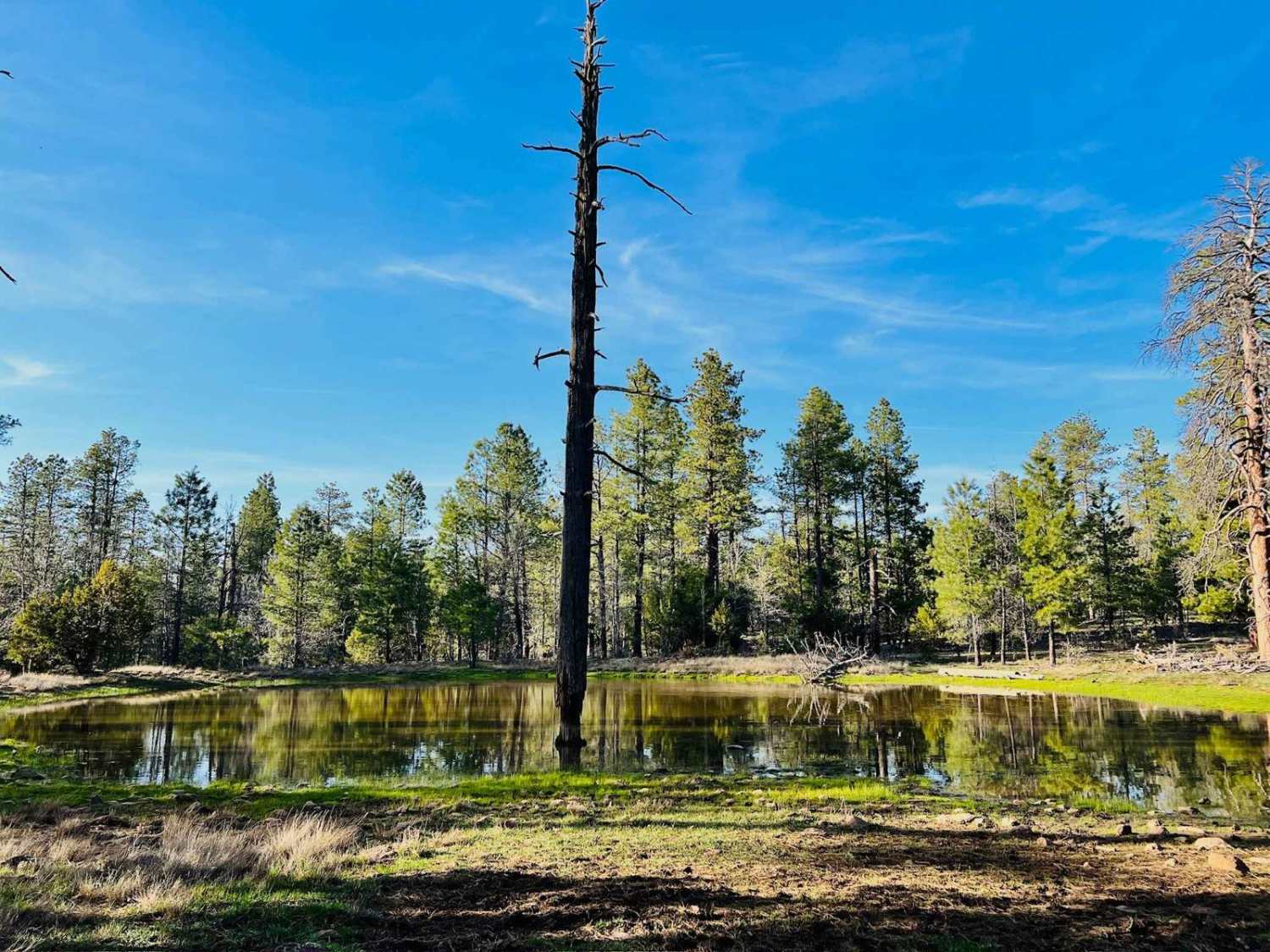
Revenge of the Rocks FR-9364R

Revenge of the Rocks FR-9364R

This is a bumpy, rocky, rutted-out trail. This trail is on the shorter side, but it is primarily a rock garden. And when it's not a rock garden, it's full of old muddy ruts. Generally,…
Learn more about Revenge of the Rocks FR-9364R
Total Miles
1.9
Tech Rating
2 Easy
Best Time
Fall, Summer, Spring
Learn more about Reymert Mine Trail
Reymert Mine Trail

Reymert Mine Trail

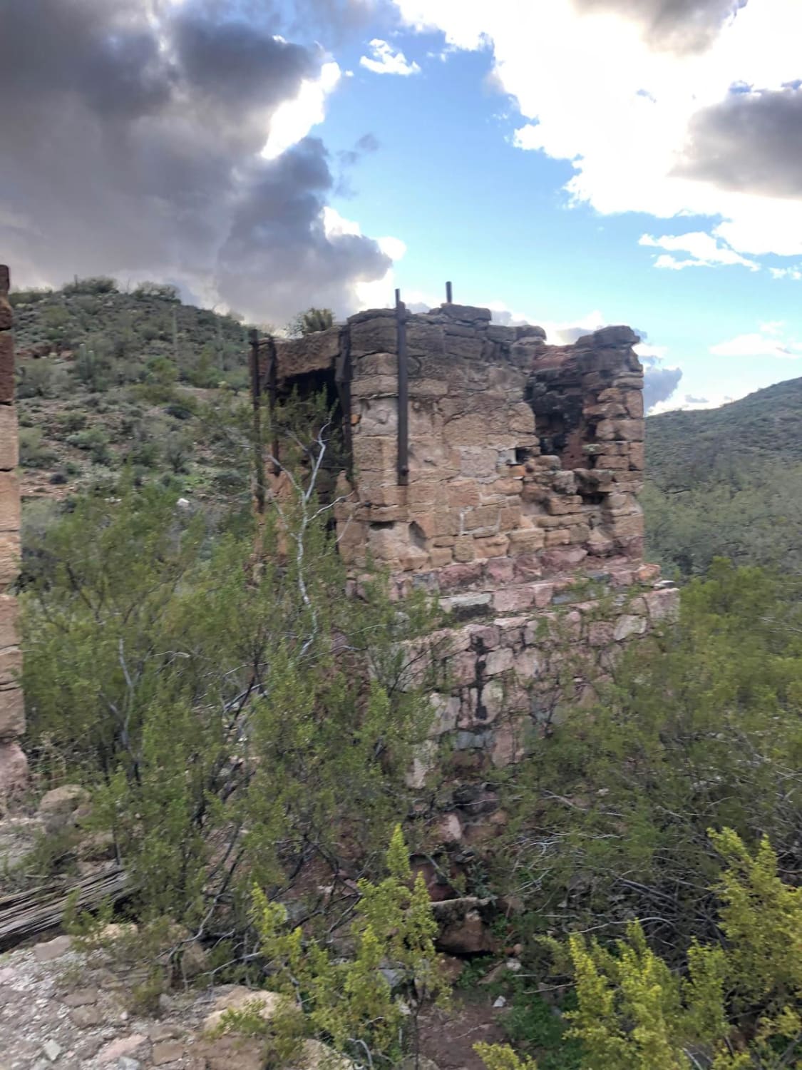
The western end is an easy trail through the desert but the trail gets rocky and more difficult as you get closer to the mine. You will have to cross the creek and drive up…
Learn more about Reymert Mine Trail
Total Miles
9.4
Tech Rating
4 Moderate
Best Time
Winter, Spring, Fall
Learn more about Richmond Basin
Richmond Basin

Richmond Basin

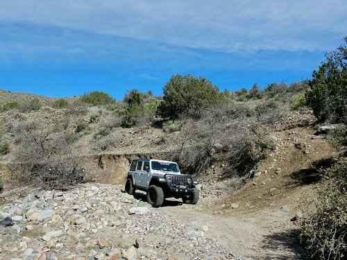
The Richmond Basin is a large area with a long history of mining for Zinc, Silver, Lead, and Gold. This Jeep trail will take you on a loop through the heart of the area. The…
Learn more about Richmond Basin
Total Miles
30.0
Tech Rating
6 Moderate
Best Time
Spring, Summer, Fall, Winter
Learn more about Ridgeline Romp
Ridgeline Romp

Ridgeline Romp

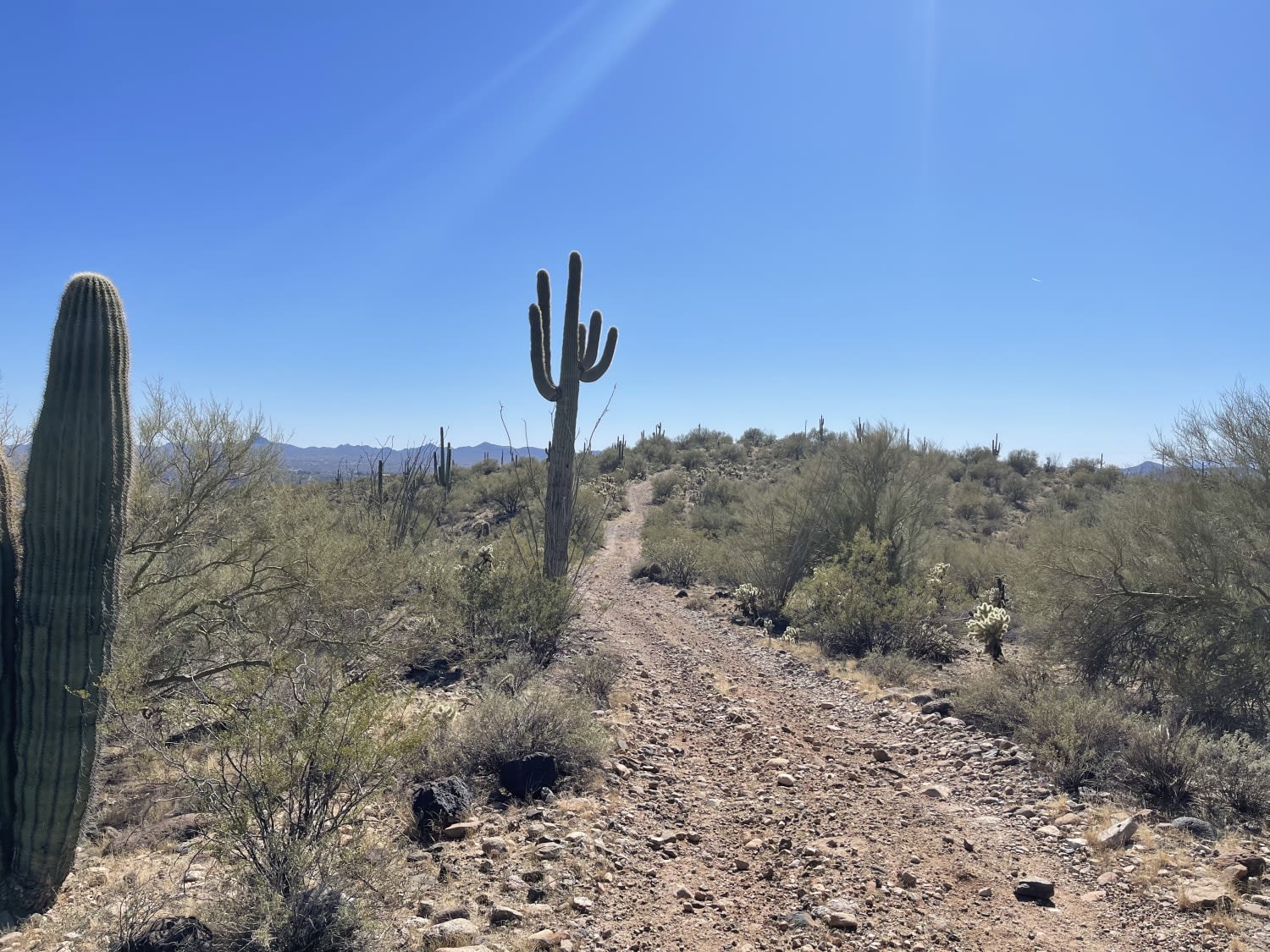
This trail is a really nice romp along the ridgeline. There are sweet views of the valley below on both sides of the trail. There are a few fire rings and dispersed camping in the…
Learn more about Ridgeline Romp
Total Miles
1.4
Tech Rating
4 Moderate
Best Time
Winter, Fall, Spring
Learn more about Rim Road East
Rim Road East

Rim Road East

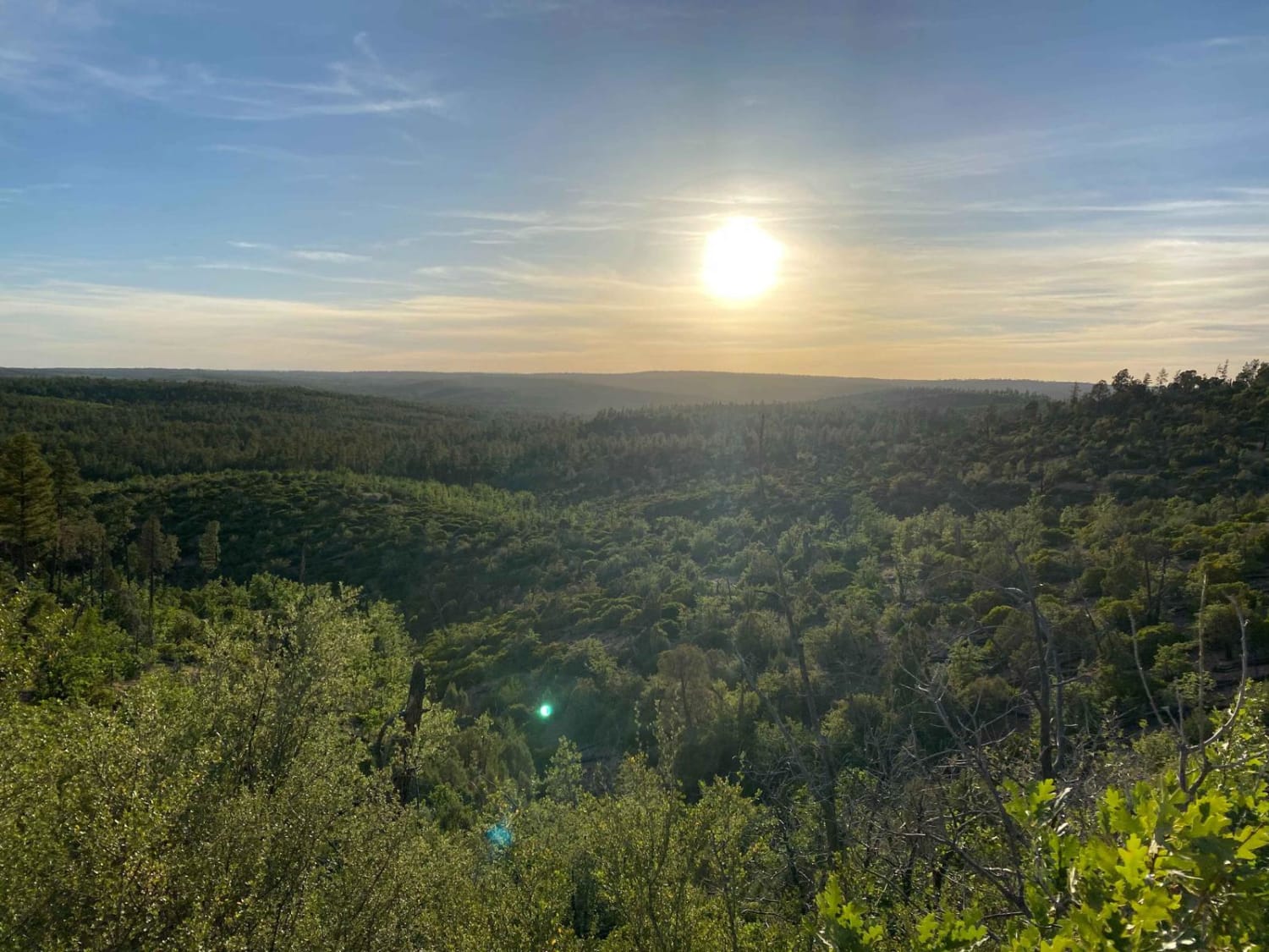
Like Rim Road West, Rim Road East offers tremendous views from atop the Mogollon Rim. Where RRW is passable by all vehicles, Rim Road East is slightly more technical due to erosion and will require…
Learn more about Rim Road East
Total Miles
55.3
Tech Rating
2 Easy
Best Time
Spring, Summer, Fall
Learn more about Rim Road West
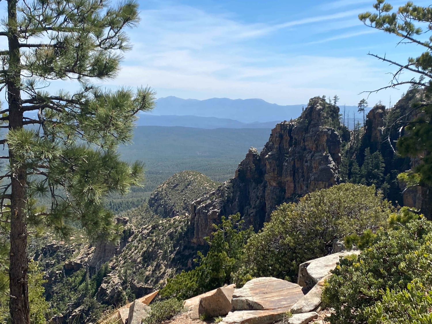
Rim Road West

Rim Road West

Epic vistas and endless possibilities! This trail offers little to no technical challenge but makes up for this with some of the most amazing views in the state. This is a great route for beginners…
Learn more about Rim Road West
Total Miles
43.6
Tech Rating
1 Easy
Best Time
Spring, Summer, Fall

The onX Offroad Difference

onX Offroad combines trail photos, descriptions, difficulty ratings, width restrictions, seasonality, and more in a user-friendly interface. Available on all devices, with offline access and full compatibility with CarPlay and Android Auto. Discover what you’re missing today!