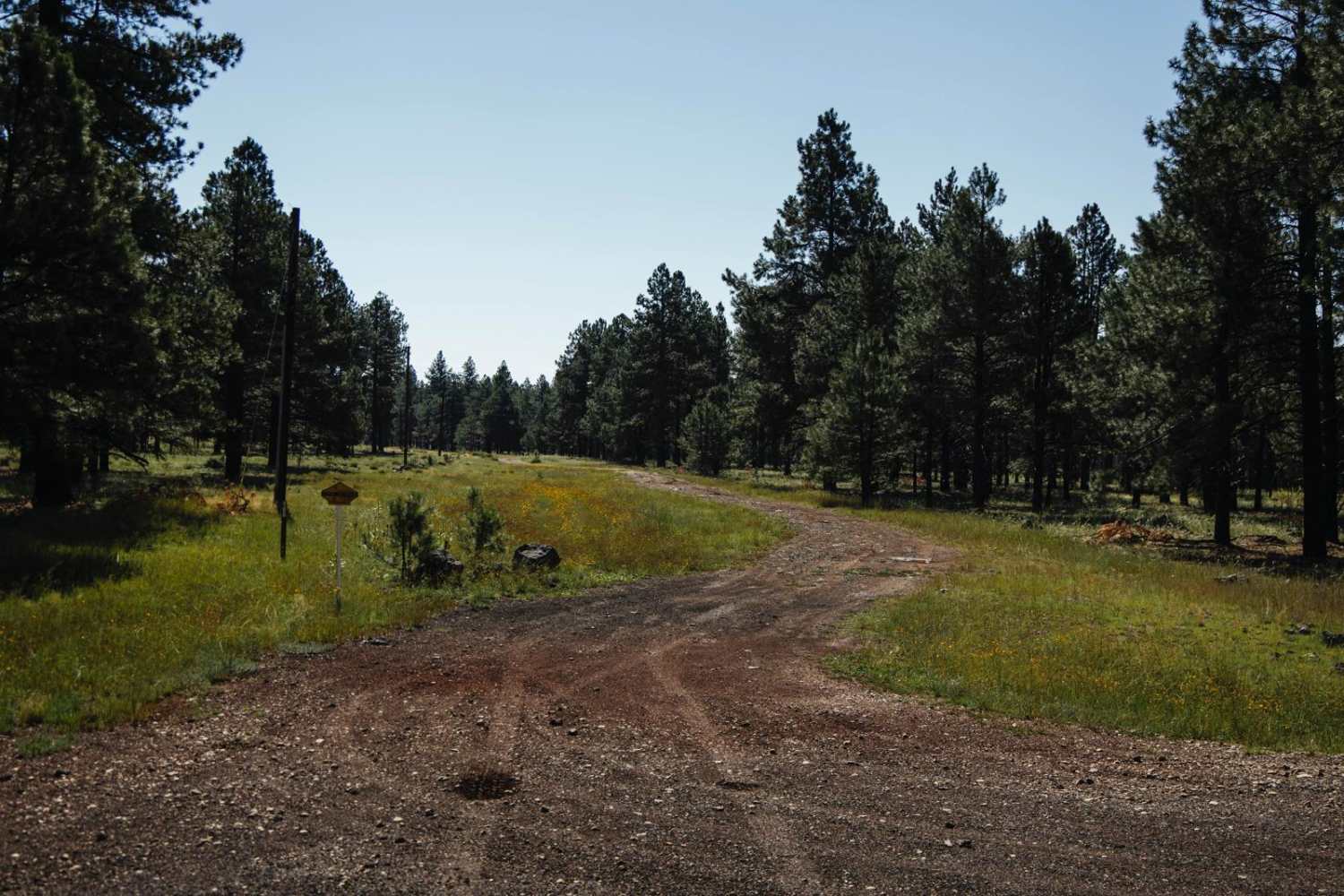
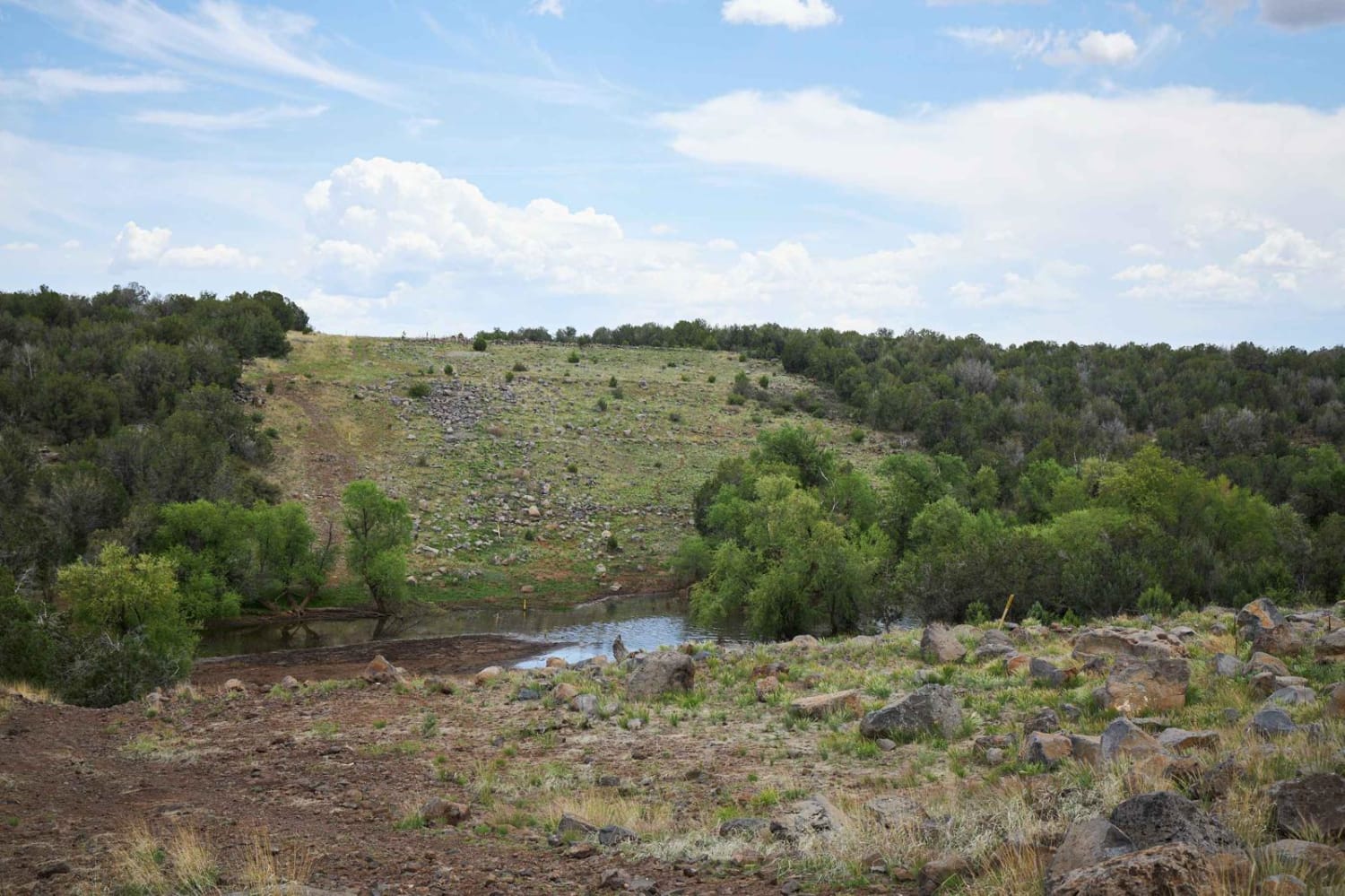
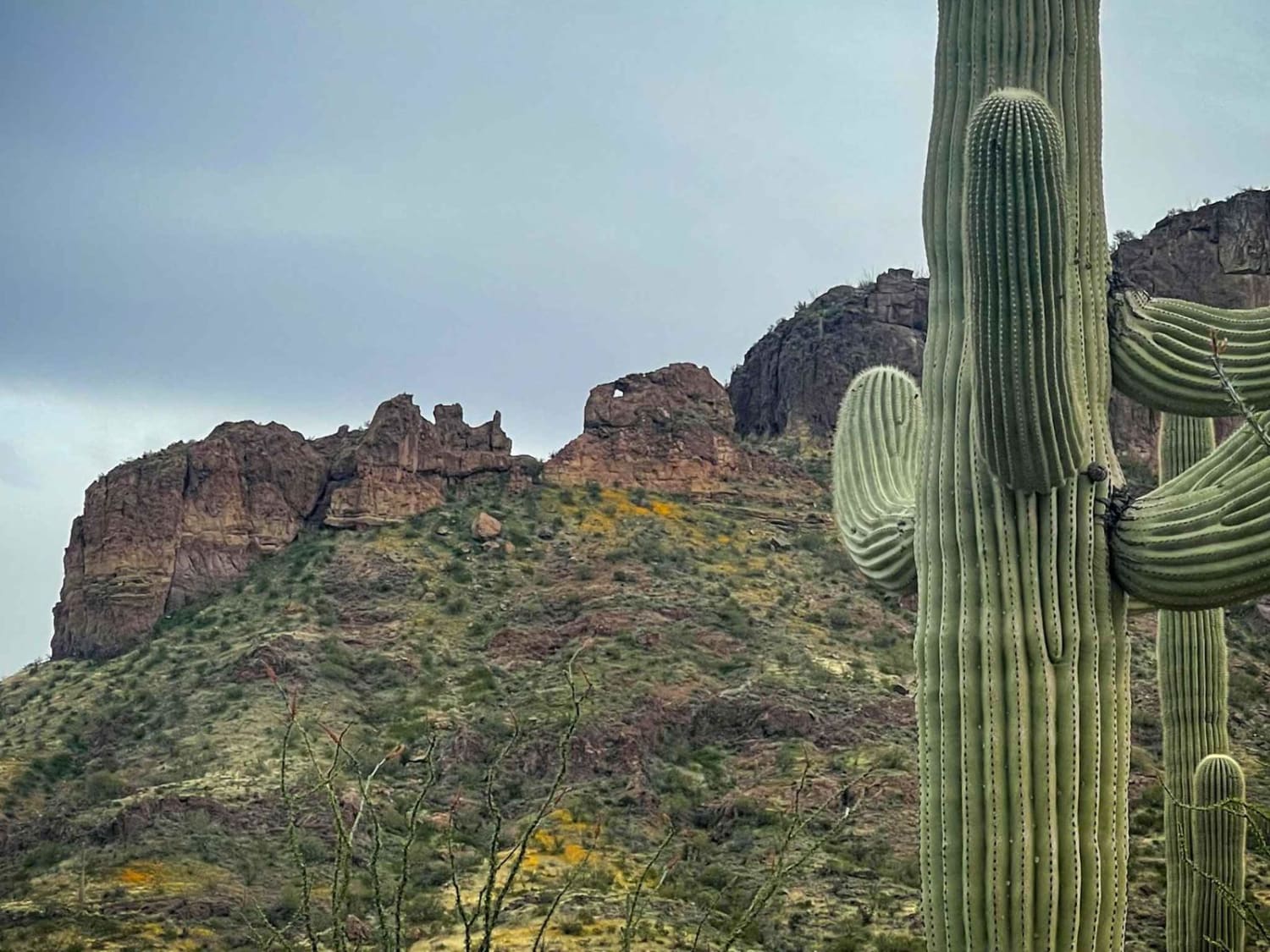
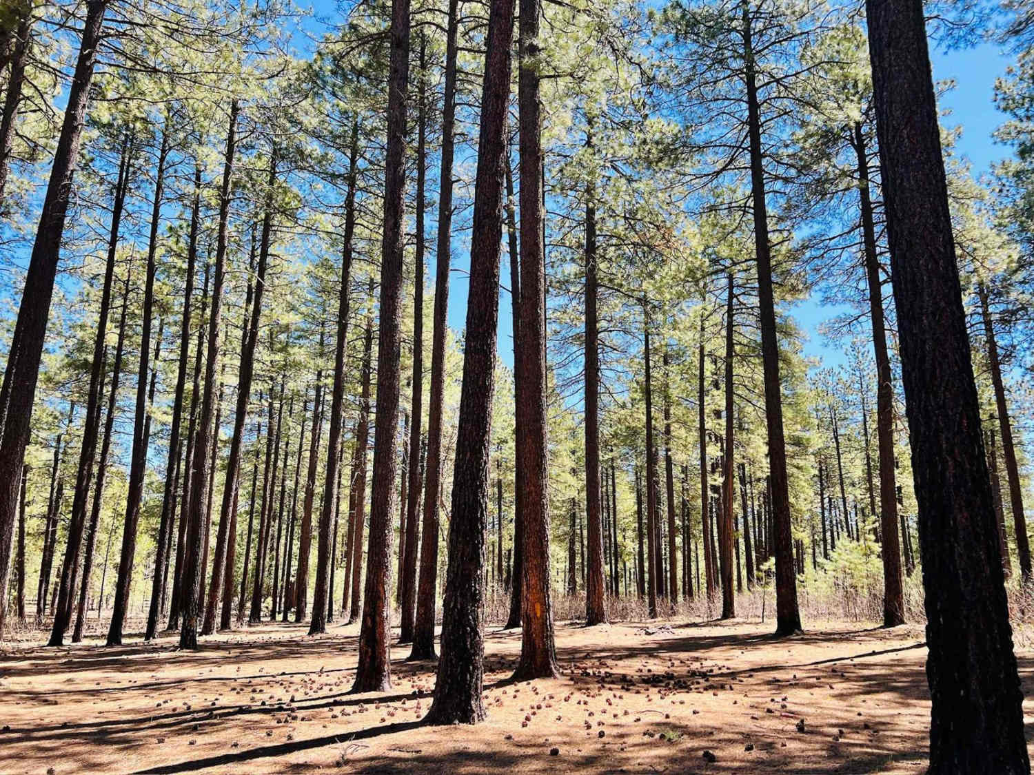
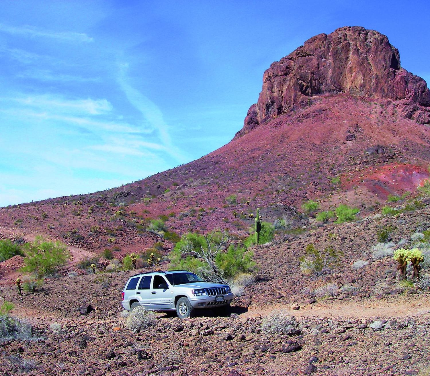
Off-Road Trails in Arizona

Discover off-road trails in Arizona

Learn more about Willow Springs OHV trail
Willow Springs OHV trail

Willow Springs OHV trail

Willow Springs OHV trail is part of the Bulldog Canyon area and each vehicle needs to obtain a free six-month permit from Recreation.gov. This trail is one of two splits. The FR12 portion is 7-mile,…
Learn more about Willow Springs OHV trail
Total Miles
3.5
Tech Rating
6 Moderate
Best Time
Spring, Fall, Winter
Learn more about Wilson Draw
Wilson Draw

Wilson Draw

This trail is a refreshing break traveling through an arroyo. There are some uneven areas and rocks that add complexity to the ride. There are rocks and trees by the trail that invite you to…
Learn more about Wilson Draw
Total Miles
2.1
Tech Rating
4 Moderate
Best Time
Spring, Fall, Summer
Learn more about Wind Mountain Trail #410
Wind Mountain Trail #410

Wind Mountain Trail #410

During the winter this road is used for snow activities, such as snowmobile. This road does have spotty cell phone service and has access to other roads around it. There is no camping or campfires…
Learn more about Wind Mountain Trail #410
Total Miles
4.8
Tech Rating
1 Easy
Best Time
Spring, Summer, Fall, Winter
Learn more about Winding Connection
Winding Connection

Winding Connection

The Winding Connection is a winding two-track that is absolutely beautiful. Soft, winding and rolling, it dances on the edge of the mixed pine and Juniper forest and the open grassland of the Kaibab National…
Learn more about Winding Connection
Total Miles
0.9
Tech Rating
1 Easy
Best Time
Spring, Summer, Fall
Learn more about Winding Ponderosa Way
Winding Ponderosa Way

Winding Ponderosa Way

Winding Ponderosa Way connects Hull Cabin Road to a small cross-country ski trail loop on its North end. While driving the rolling rocky two-track, you'll see the burn scar from the many fires that shape…
Learn more about Winding Ponderosa Way
Total Miles
4.6
Tech Rating
2 Easy
Best Time
Spring, Summer, Fall
Learn more about Windmill Wash
Windmill Wash

Windmill Wash

Beautiful scenic loop through the foothills of the Northwestern portion of the Tonto National Forest off of Bloody Basin Rd. The trail circles around Mesa Butte (5125 ft), which is easy to spot and runs…
Learn more about Windmill Wash
Total Miles
6.4
Tech Rating
3 Easy
Best Time
Spring, Fall, Winter
Learn more about Wing Mountain Road
Wing Mountain Road

Wing Mountain Road

Road is not winter maintained, and during the winter is used for snow activities such as snowmobile. This road does have spotty cell phone service and has access to other roads around it. There is…
Learn more about Wing Mountain Road
Total Miles
6.4
Tech Rating
1 Easy
Best Time
Spring, Summer, Fall, Winter
Learn more about Wishy Washy
Wishy Washy

Wishy Washy

This run starts as a wide wash where you can enjoy a quick pace for the majority. Then you come to a rock obstacle that bumps this trail's rating to 4. Once you finish the…
Learn more about Wishy Washy
Total Miles
10.8
Tech Rating
4 Moderate
Best Time
Spring, Fall, Winter
Learn more about Wishy Washy Way
Wishy Washy Way

Wishy Washy Way

Wishy Washy Way is in the White Hills Area of the Coconino National Forest. First, the good. This trail is technical, and allows the driver to choose good lines on the uphills, work on driving…
Learn more about Wishy Washy Way
Total Miles
5.0
Tech Rating
5 Moderate
Best Time
Spring, Summer, Fall
Learn more about Wolf Creek to Senator Highway
Wolf Creek to Senator Highway

Wolf Creek to Senator Highway

This well-maintained dirt road connects Highway 89 to Senator Highway. The mileage of this trail is just over 6 miles long and snakes through the ponderosa-covered mountains of the Prescott National Forest. Several spots along…
Learn more about Wolf Creek to Senator Highway
Total Miles
6.1
Tech Rating
1 Easy
Best Time
Spring, Summer, Fall
Learn more about Wolf Hole
Wolf Hole

Wolf Hole

This historic trail transits the historic Wolf Hole Mountain. Wolf Hole was actually a small community in the late 1800s to early 1900s as the early pioneers expanded the area. Those pioneers used the area…
Learn more about Wolf Hole
Total Miles
6.0
Tech Rating
3 Easy
Best Time
Spring, Summer, Fall
Learn more about Wolf Hole - Hole in the Wall
Wolf Hole - Hole in the Wall

Wolf Hole - Hole in the Wall

This is the entrance to a multitude of different adventures on Segmiller Mountain and lots of trails to the south and east. At the start of this trail, you are near the historic town of…
Learn more about Wolf Hole - Hole in the Wall
Total Miles
3.7
Tech Rating
1 Easy
Best Time
Summer, Fall
Learn more about Woodchute Mtn/Smiley Rock Connector
Woodchute Mtn/Smiley Rock Connector

Woodchute Mtn/Smiley Rock Connector

This trail provides a wide gentle drive through the beautiful rolling pastures outside of Prescott, AZ. A mellow backway into the nearby Smiley Rock Loop, this trail is two lanes wide, gradually narrowing as you…
Learn more about Woodchute Mtn/Smiley Rock Connector
Total Miles
5.7
Tech Rating
1 Easy
Best Time
Spring, Fall, Winter
Learn more about Woodchute Mtn/Smiley Rock Connector PART 2
Woodchute Mtn/Smiley Rock Connector PART 2

Woodchute Mtn/Smiley Rock Connector PART 2

This trail provides a wide gentle drive through the beautiful rolling pastures outside of Prescott, AZ. A mellow backway into the nearby Smiley Rock Loop, this trail is two lanes wide, gradually narrowing as you…
Learn more about Woodchute Mtn/Smiley Rock Connector PART 2
Total Miles
1.6
Tech Rating
1 Easy
Best Time
Spring, Fall, Winter
Learn more about Woodchute Trail
Woodchute Trail

Woodchute Trail

Start your route to Woodchute Trail by climbing through the historic minig town of Jerome, a bustling art and tourism hub with great restaurants. Continue on 89A to the base of Woodchute Mountain at 7,860…
Learn more about Woodchute Trail
Total Miles
5.5
Tech Rating
4 Moderate
Best Time
Summer, Fall
Learn more about Woodpecker Trail, Ajax Mine
Woodpecker Trail, Ajax Mine

Woodpecker Trail, Ajax Mine

This is a local hard-core favorite. Because of its difficulty, it's recommended to have one or two other vehicles and always bring water. You'll follow a rocky creek bottom with some washed out sections. There…
Learn more about Woodpecker Trail, Ajax Mine
Total Miles
7.2
Tech Rating
5 Difficult
Best Time
Spring, Fall
Learn more about Woolsey Wash
Woolsey Wash

Woolsey Wash

Woolsey Wash is a multiple-surface mixed road consisting of rock, gravel, and sand. This area is prone to flooding, some sections of this road either drive in a wash or through one, please be careful…
Learn more about Woolsey Wash
Total Miles
8.4
Tech Rating
3 Easy
Best Time
Summer, Fall, Spring
Learn more about Wrangler's Nest - Difficult Wash
Wrangler's Nest - Difficult Wash

Wrangler's Nest - Difficult Wash

Options Options... Left, Right, Center? This route takes you LEFT of the Steep Climb Hill however this is no cakewalk alternative. This route includes multiple terrains, ledges, pits, and boulders. It will take some time…
Learn more about Wrangler's Nest - Difficult Wash
Total Miles
0.9
Tech Rating
5 Moderate
Best Time
Spring, Summer, Fall, Winter
Learn more about Wrangler's Nest - Steep Climb Obstacle
Wrangler's Nest - Steep Climb Obstacle

Wrangler's Nest - Steep Climb Obstacle

When you get to this intersection along Wrangler's Nest Trail the trail offers three (3) options. The road to the right is the published trail route. An alternate route to the left heading into the…
Learn more about Wrangler's Nest - Steep Climb Obstacle
Total Miles
0.3
Tech Rating
5 Moderate
Best Time
Spring, Summer, Fall, Winter
Learn more about Wrangler's Nest Trail
Wrangler's Nest Trail

Wrangler's Nest Trail

This is a great technical trail with many obstacles available for the less faint of heart. Secluded in the desert between The CAP Canal North of Vistancia and Carefree Highway. Filled with awesome washes, 24"…
Learn more about Wrangler's Nest Trail
Total Miles
3.6
Tech Rating
5 Moderate
Best Time
Spring, Summer, Fall, Winter

Go Farther

Try onX Offroad Elite for free for a week — no strings attached. Get access to thousands of off-road dirt trails and snowmobile trails across the nation. View your favorite zones in 3D. Send trails to friends. Start planning the trip of a lifetime now.