Off-Road Trails in Arizona

Discover off-road trails in Arizona

Learn more about Pack 4WD
Pack 4WD

Pack 4WD

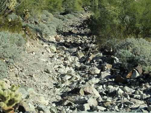
It's a strange name for a Jeep trail, but that is what shows on USGS topographic maps. Perhaps it is an old pack trail that became a 4WD trail. It's a short trail that is…
Learn more about Pack 4WD
Total Miles
1.3
Tech Rating
6 Moderate
Best Time
Summer, Fall
Learn more about Page Trail
Page Trail

Page Trail

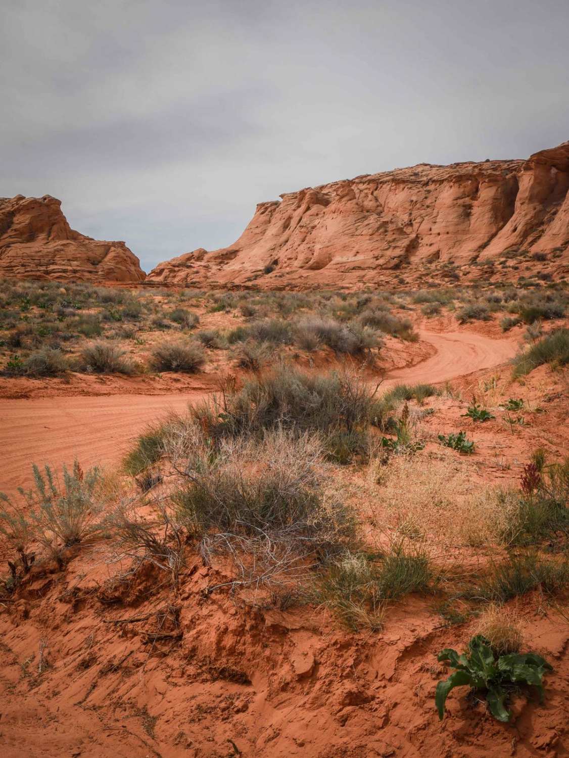
This 1.3-mile-long sand trail goes through City of Page land south of the town of Page, Arizona. It starts and ends off of the powerline road that starts at the entrance to the OHV area,…
Learn more about Page Trail
Total Miles
1.2
Tech Rating
2 Easy
Best Time
Winter, Fall, Spring
Learn more about Painted Mountains
Painted Mountains

Painted Mountains

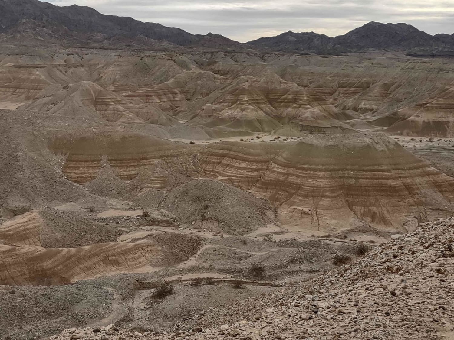
This track takes you north out of Quartzsite, Arizona, across the desert to the amazing Painted Mountains and canyons surrounding Mesquite Mountain. You will be on the reservation of the Colorado River Indian Tribe (CRIT)…
Learn more about Painted Mountains
Total Miles
48.0
Tech Rating
3 Easy
Best Time
Spring, Fall, Winter
Learn more about Palm Canyon Road
Palm Canyon Road

Palm Canyon Road

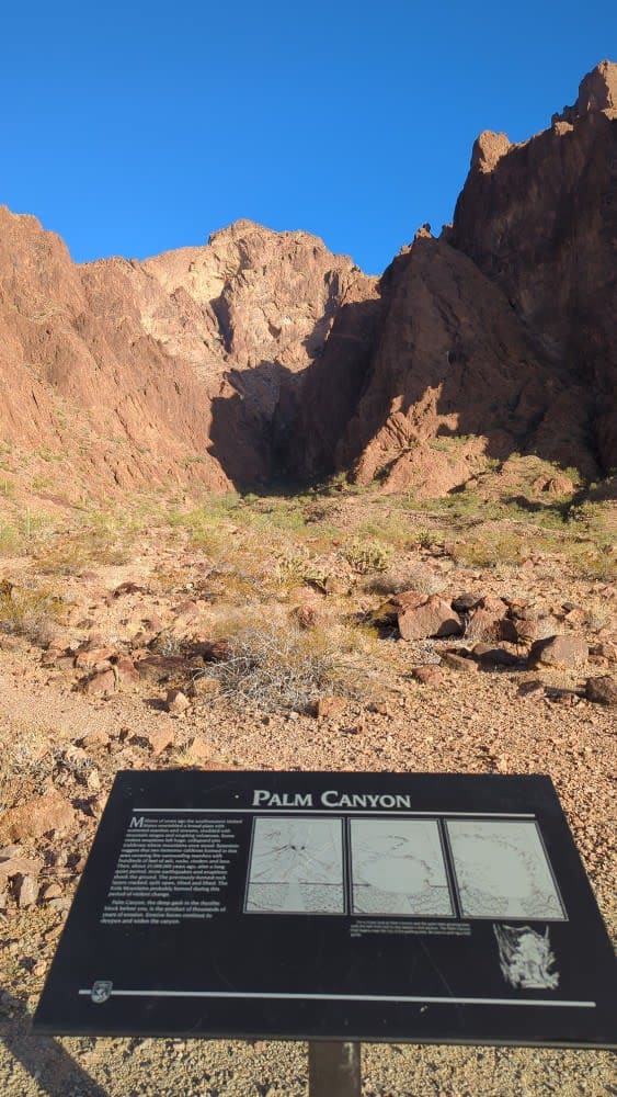
This graded, wide, and maintained gravel road makes a beeline from US 95 to the parking area for Palm Canyon in the KOFA Wildlife Refuge. Along the route, you will encounter amazing vistas of the…
Learn more about Palm Canyon Road
Total Miles
7.1
Tech Rating
1 Easy
Best Time
Spring, Fall, Winter
Learn more about Palmerita Ranch House Spur for AZPT
Palmerita Ranch House Spur for AZPT

Palmerita Ranch House Spur for AZPT

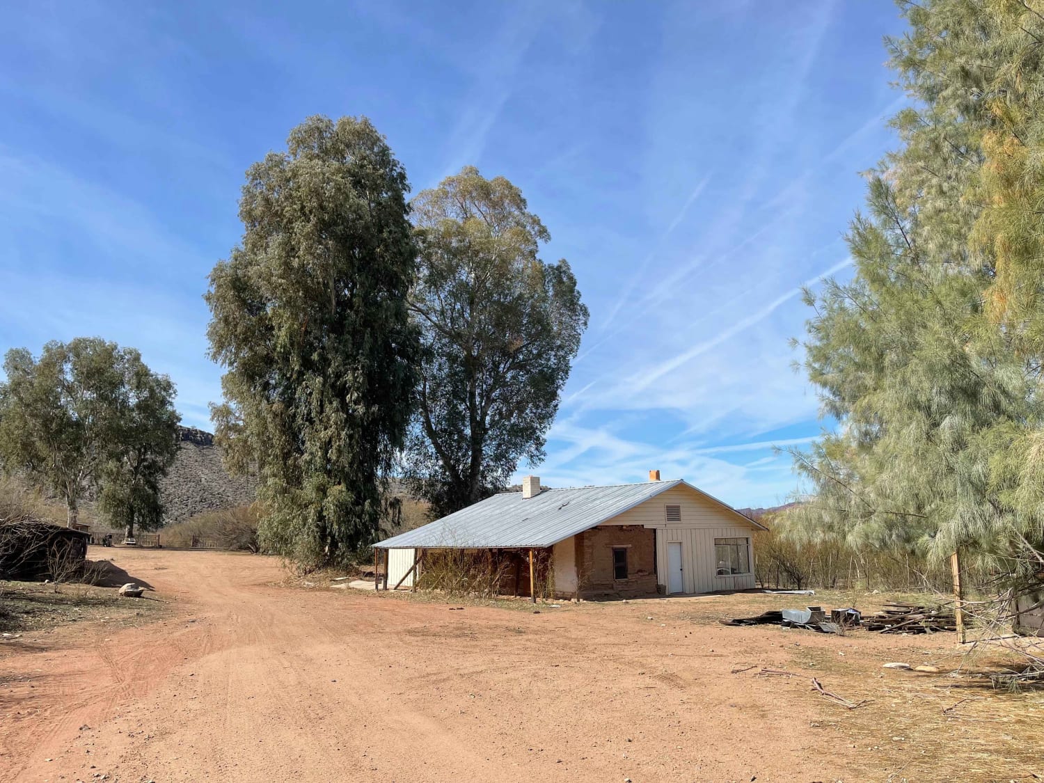
This short but pretty tail takes the rider from the AZPT on a side trip to the Palmeriat Ranch House. There are many structures here that can be viewed and some seem to be in…
Learn more about Palmerita Ranch House Spur for AZPT
Total Miles
1.6
Tech Rating
4 Moderate
Best Time
Spring, Fall, Winter
Learn more about Palomas Flats
Palomas Flats

Palomas Flats

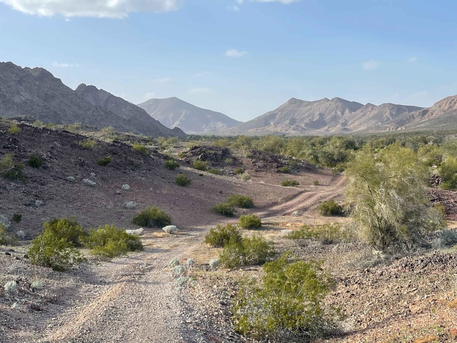
This is the main access route to get back toward the Paloma mountains area that borders the Naval Warfare Range. The trail begins in farmland access passing right by the WWII memorial for the 81st…
Learn more about Palomas Flats
Total Miles
6.2
Tech Rating
4 Moderate
Best Time
Spring, Winter
Learn more about Palomas Harquahala
Palomas Harquahala

Palomas Harquahala

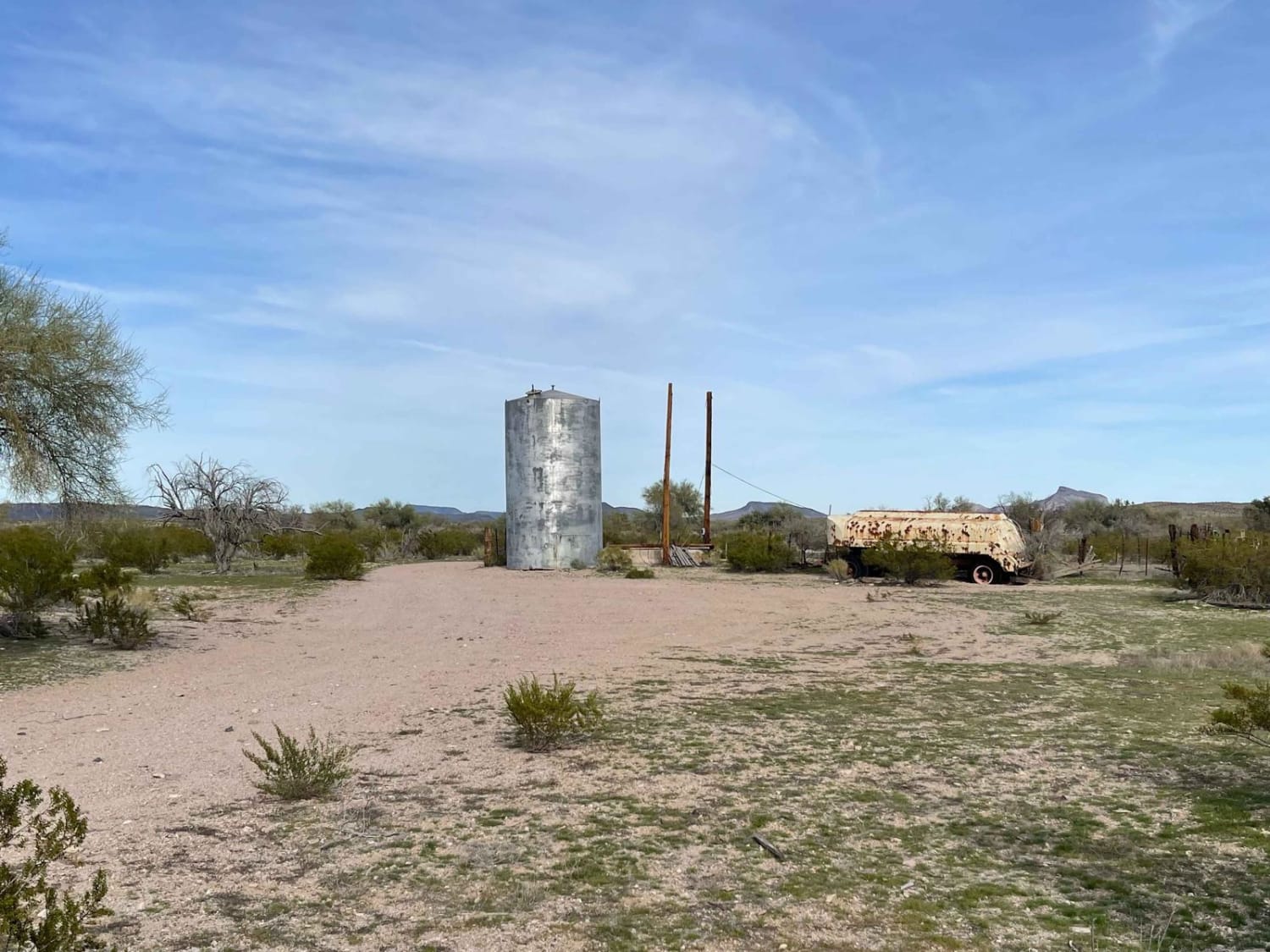
What a wonderful way to traverse the desert. This moderately traveled trail is in surprisingly great shape. With long flat straightaways and a few wash transitions, it will surely get you where you want to…
Learn more about Palomas Harquahala
Total Miles
15.1
Tech Rating
3 Easy
Best Time
Spring, Fall, Winter
Learn more about Palomas Trail - 083
Palomas Trail - 083

Palomas Trail - 083

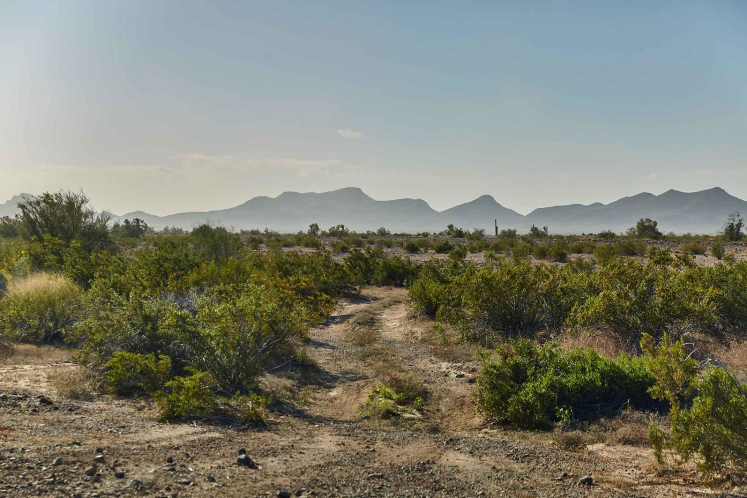
Palomas Trail - 083 is a long and winding two-track that rolls through the Palomas Mountains of Southwest Arizona. This trail is sometimes well-marked and other times non-existent, so having offline maps is highly encouraged.…
Learn more about Palomas Trail - 083
Total Miles
7.9
Tech Rating
3 Easy
Best Time
Spring, Fall, Winter
Learn more about Parker Canyon East
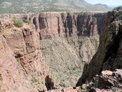
Parker Canyon East

Parker Canyon East

This trail leads to an eastern overlook of Parker Canyon. The road isn't challenging, but it can offer a good perspective after seeing the west side of the canyon via Natural Drainage Road 488, also…
Learn more about Parker Canyon East
Total Miles
0.7
Tech Rating
2 Easy
Best Time
Summer, Fall
Learn more about Part of Metal Masher

Part of Metal Masher

Part of Metal Masher

First off, you will need a permit from recreation.gov and six months of codes for each gate surrounding Bulldog Canyon. The permit will be under the Tonto National Forest Off-Highway Vehicle Permit. This is a…
Learn more about Part of Metal Masher
Total Miles
3.7
Tech Rating
8 Difficult
Best Time
Winter, Fall, Summer, Spring
Learn more about Pass Canyon
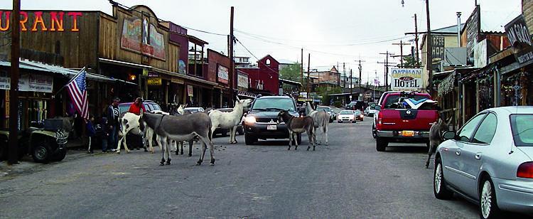
Pass Canyon

Pass Canyon

This is a very rugged trail in mining country that borers a closed wilderness. There are some interesting old mining structures to see at the Moss Mine ruins. There are a lot of side roads…
Learn more about Pass Canyon
Total Miles
16.3
Tech Rating
7 Difficult
Best Time
Fall, Winter, Spring
Learn more about Pasture Blast
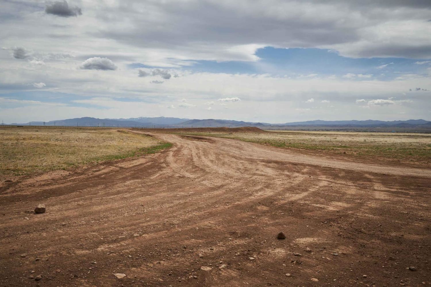
Pasture Blast

Pasture Blast

Pasture Blast is a wide rolling dirt road that cuts through the beautiful grassland of the Black Hills area outside of Prescott, AZ. Antelope, coyotes, and deer make this area their grazing ground due to…
Learn more about Pasture Blast
Total Miles
4.3
Tech Rating
2 Easy
Best Time
Spring, Fall, Winter
Learn more about Pasture Mash
Pasture Mash

Pasture Mash

While there are no obstacles on Pasture Mash, there is also no cell service. This trail is rocky, with some rocks larger and more precarious than others. There are a few sections of narrow trees…
Learn more about Pasture Mash
Total Miles
2.6
Tech Rating
2 Easy
Best Time
Spring, Summer, Fall, Winter
Learn more about Pasture Pass
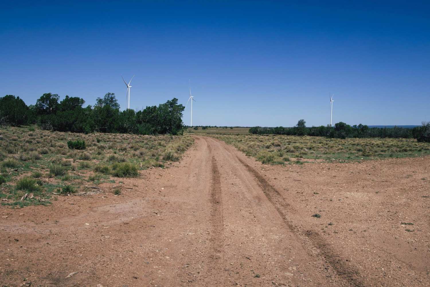
Pasture Pass

Pasture Pass

Pasture Pass Trail is a one-lane trail that is mostly gravel and dirt. There are no obstacles on this trail, but there are cattle that actively graze the area so caution is urged. Antelope and…
Learn more about Pasture Pass
Total Miles
9.6
Tech Rating
2 Easy
Best Time
Spring, Summer, Fall
Learn more about Pasture Waterline
Pasture Waterline

Pasture Waterline

This easy trail is accented by the stunning views of the surrounding hills. You're high on a plateau, in what would seem to be an open meadow, with trees and hills in the distance. This…
Learn more about Pasture Waterline
Total Miles
1.8
Tech Rating
2 Easy
Best Time
Spring, Summer, Fall
Learn more about Paw Hole Road - NM1079
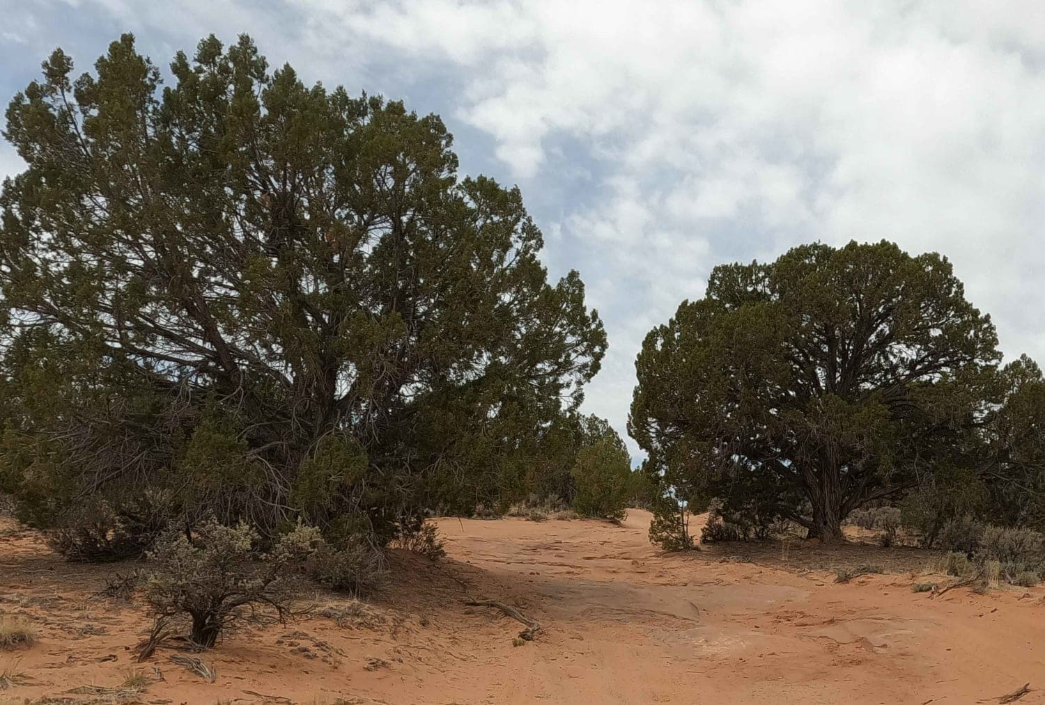
Paw Hole Road - NM1079

Paw Hole Road - NM1079

Sand road accessing Paw Hole TH, Sunset Butte, and other areas of Coyote Buttes South (hiking permit required). This road climbs up into Vermillion Cliffs National Monument from House Rock Road. This road sees little…
Learn more about Paw Hole Road - NM1079
Total Miles
5.3
Tech Rating
2 Easy
Best Time
Spring, Fall
Learn more about Peace Trail West
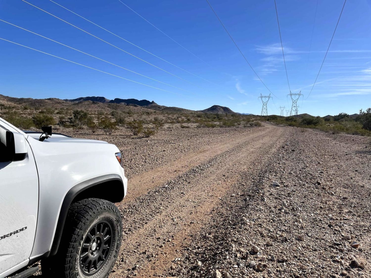
Peace Trail West

Peace Trail West

This trail is a flat and straight powerline service road, with no technical sections with a couple of small curves that can be fun to take with a little speed if clear. However, there are…
Learn more about Peace Trail West
Total Miles
16.7
Tech Rating
1 Easy
Best Time
Spring, Fall, Winter
Learn more about Peck Mine Trail
Peck Mine Trail

Peck Mine Trail

The Peck Mine Trail provides a nice secluded tour of part of the Bradshaw Mountains. The trail follows Peck Mine Road, which is a narrow shelf road with some very exposed sections, largely hard-packed, and…
Learn more about Peck Mine Trail
Total Miles
4.7
Tech Rating
5 Moderate
Best Time
Spring, Summer, Fall
Learn more about Peralta road
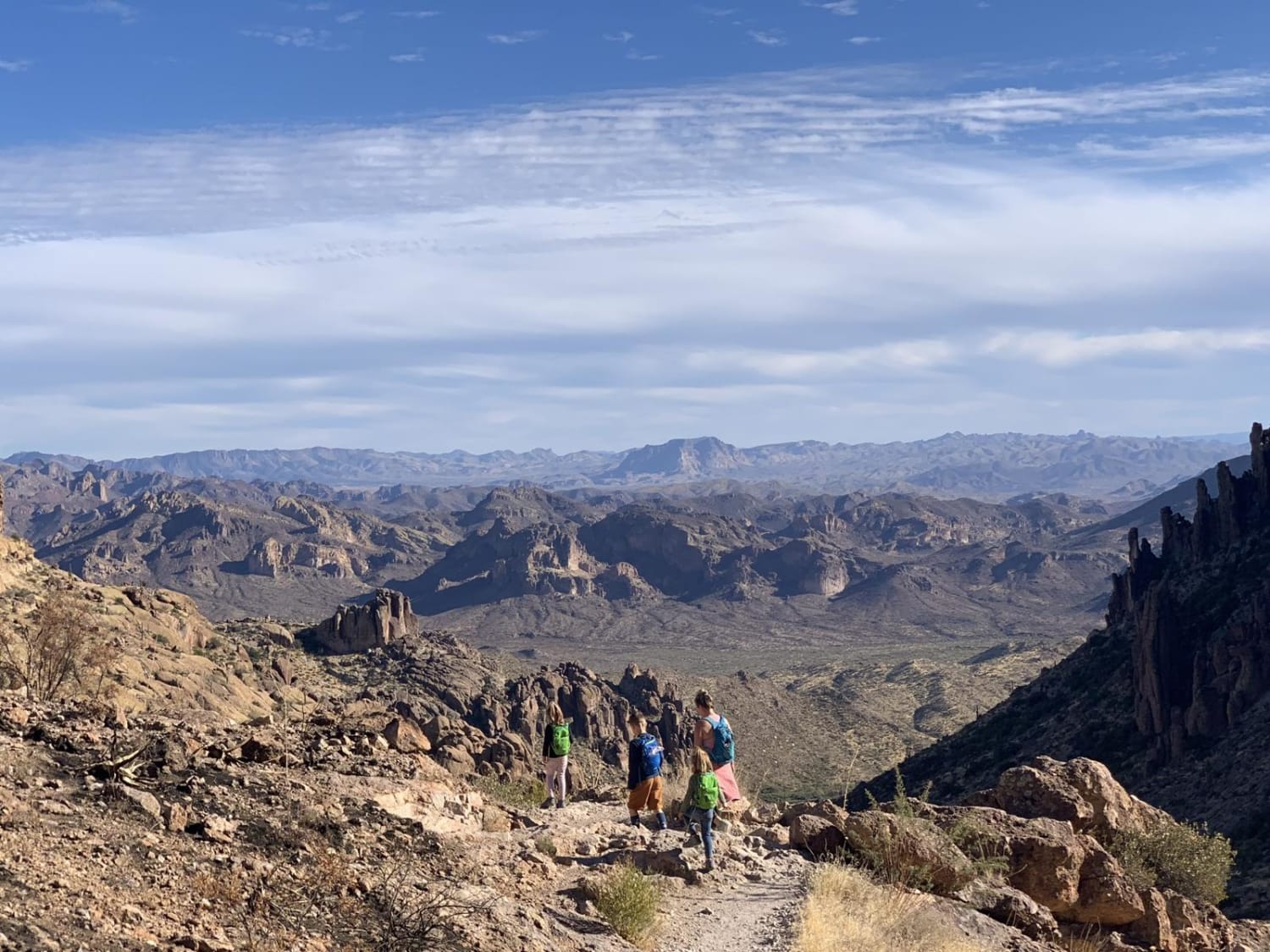
Peralta road

Peralta road

Peralta road is an easy, graded dirt road. Although the road is not challenging, it still leads to great views and has plenty of turn-offs for dispersed camping. If you are into hiking, this road…
Learn more about Peralta road
Total Miles
12.3
Tech Rating
1 Easy
Best Time
Spring, Fall, Winter
Learn more about Peterson Flat
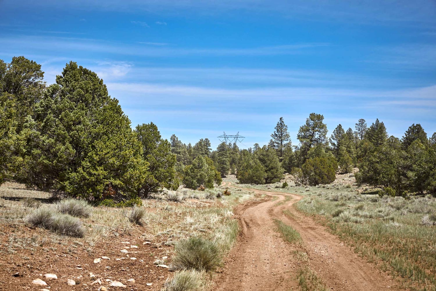
Peterson Flat

Peterson Flat

Peterson Flat trail rolls through beautiful forests of mixed pine to wide-sweeping views and valleys and back again. This interesting trail is a single-lane rock and mud trail, with some ruts and challenging sections. On…
Learn more about Peterson Flat
Total Miles
8.4
Tech Rating
3 Easy
Best Time
Spring, Summer, Fall

The onX Offroad Difference

onX Offroad combines trail photos, descriptions, difficulty ratings, width restrictions, seasonality, and more in a user-friendly interface. Available on all devices, with offline access and full compatibility with CarPlay and Android Auto. Discover what you’re missing today!