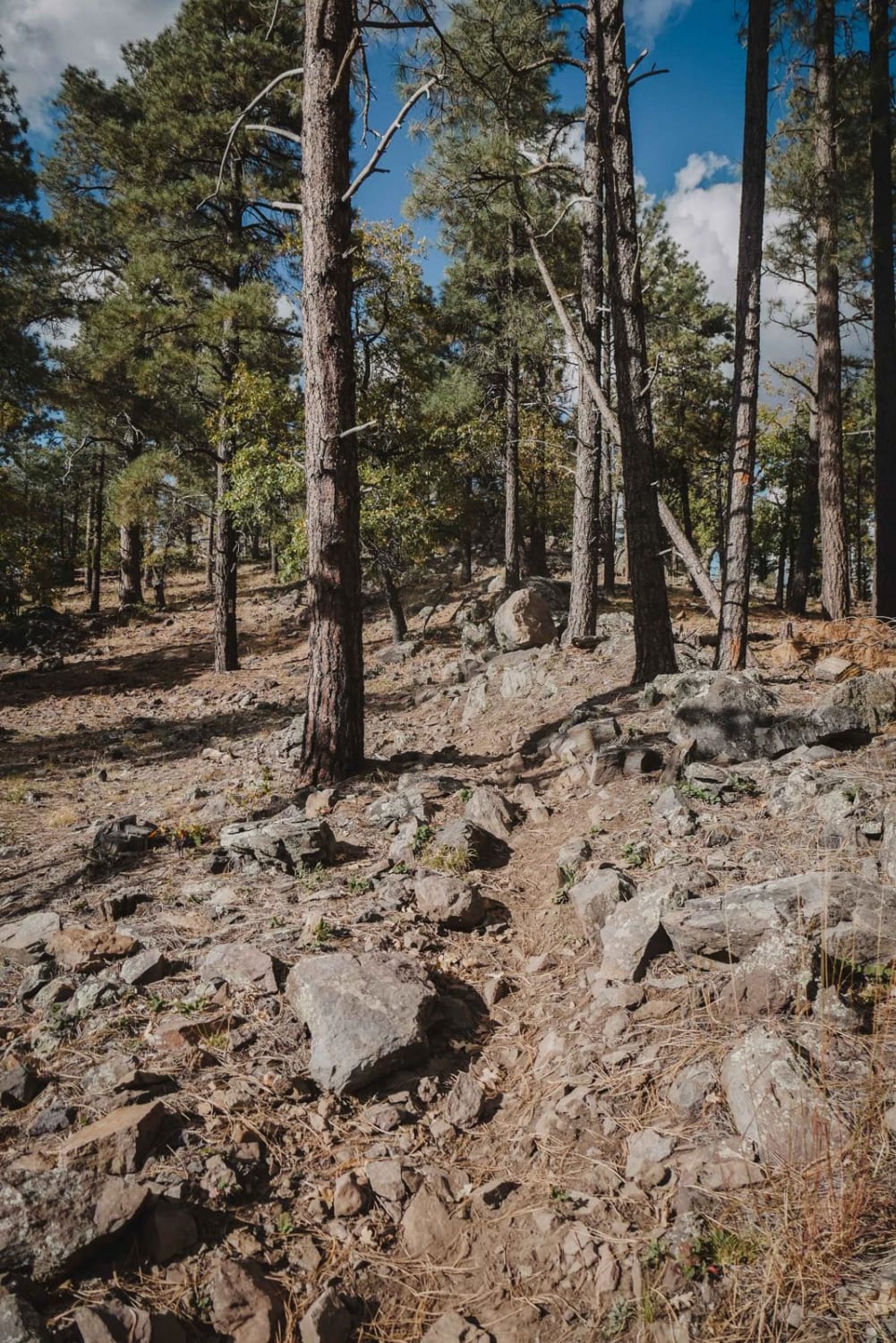
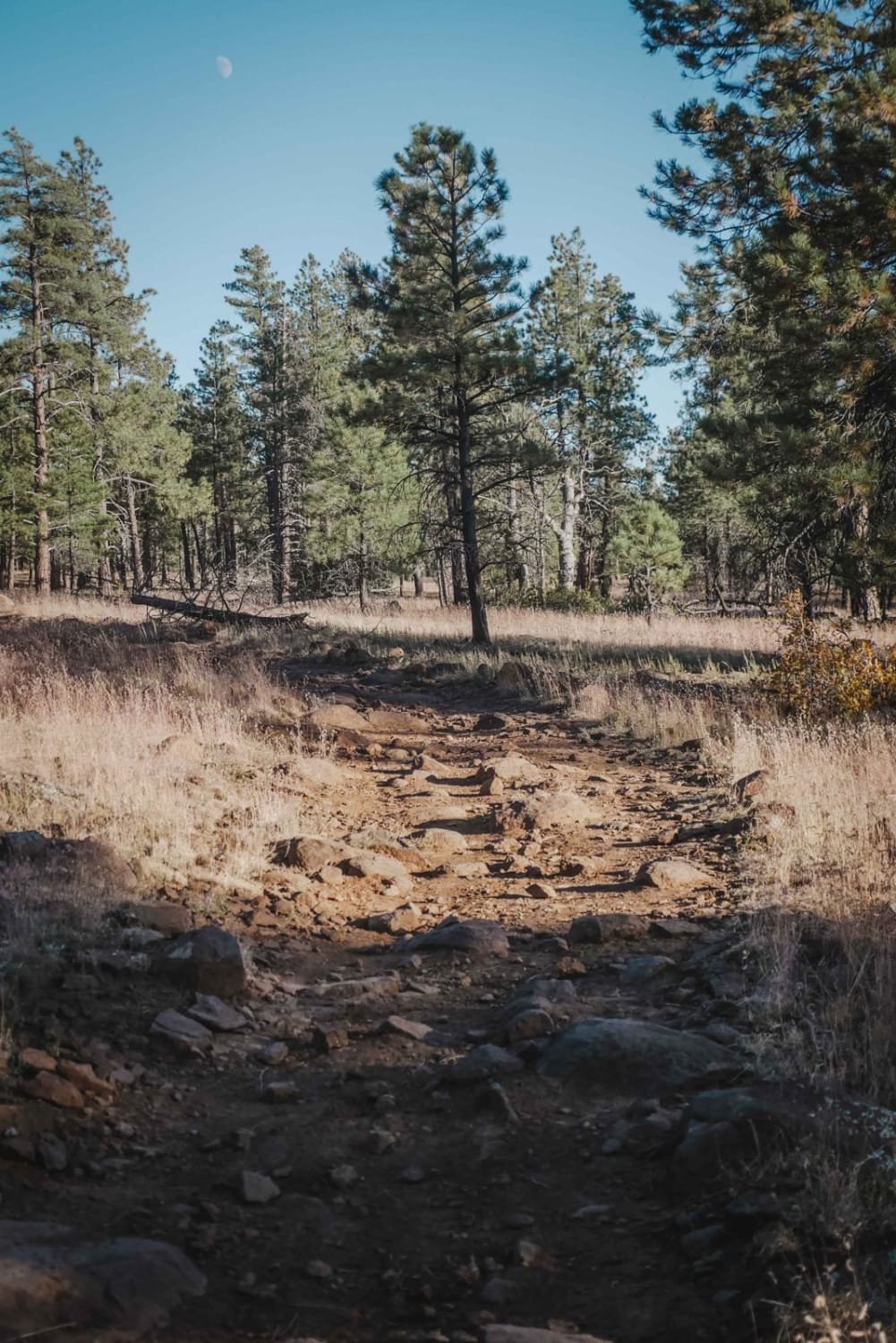
Off-Road Trails in Arizona
Discover off-road trails in Arizona
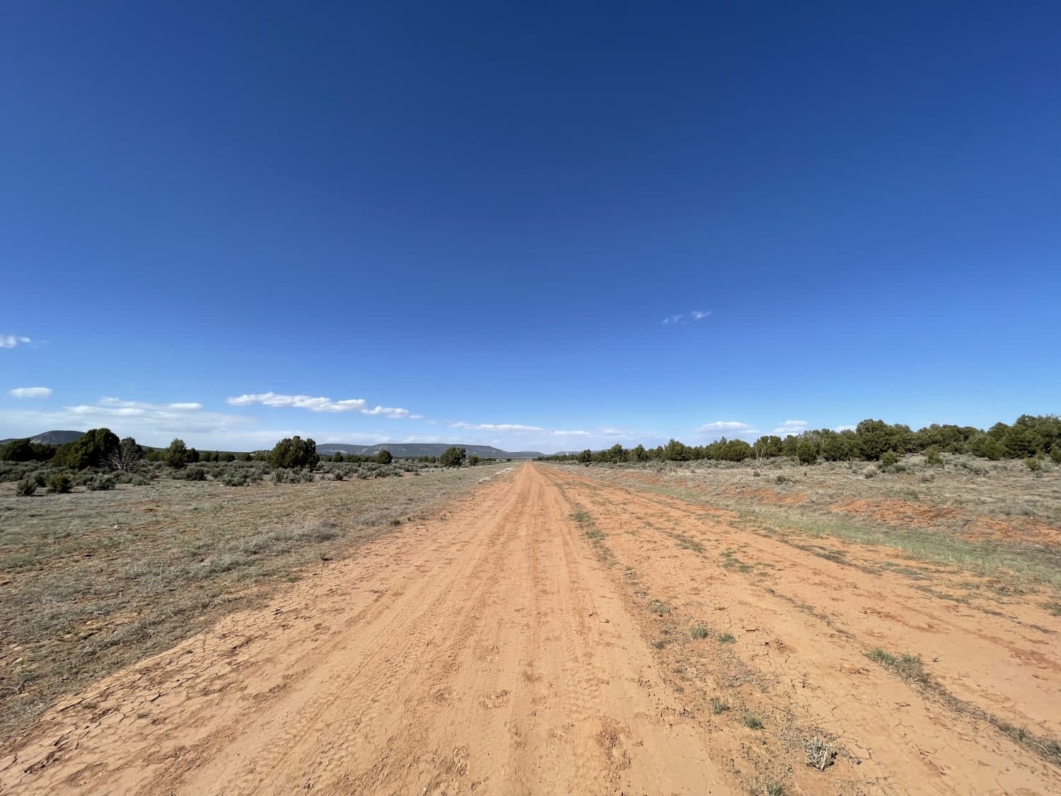
Learn more about Hunt Tank Shortcut
Hunt Tank Shortcut
Total Miles
1.1
Tech Rating
Easy
Best Time
Spring, Summer, Fall
Learn more about Hunter Hill Camp

Hunter Hill Camp
Total Miles
2.6
Tech Rating
Easy
Best Time
Spring, Summer, Fall, Winter
Learn more about Hunters Camp

Hunters Camp
Total Miles
2.2
Tech Rating
Easy
Best Time
Spring, Summer, Fall
Learn more about Hunters Meadow

Hunters Meadow
Total Miles
1.6
Tech Rating
Easy
Best Time
Summer, Spring, Fall, Winter
Learn more about Hunters View
Hunters View
Total Miles
1.6
Tech Rating
Easy
Best Time
Summer, Spring, Fall
Learn more about Hutch Mountain Lookout
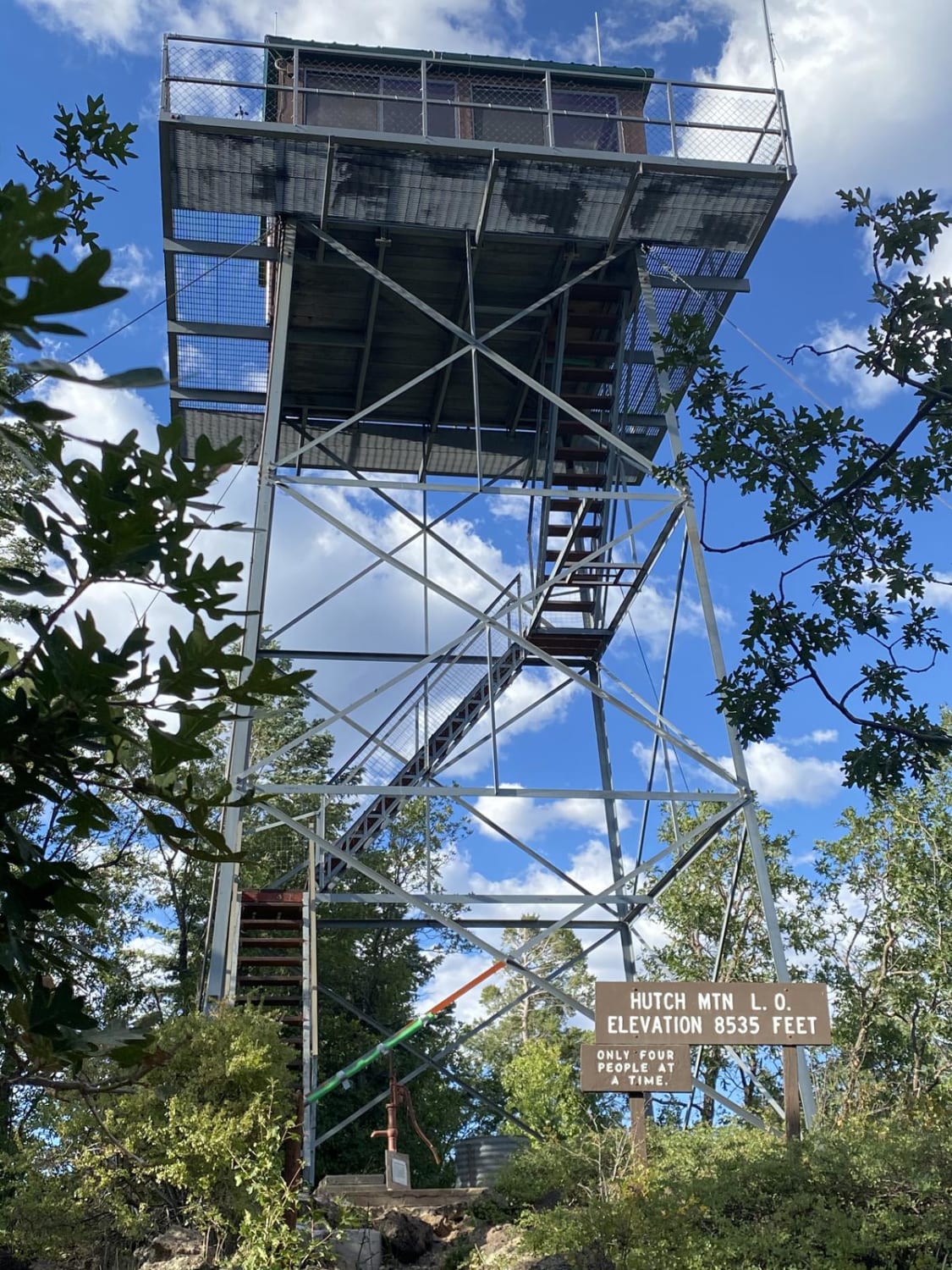
Hutch Mountain Lookout
Total Miles
3.9
Tech Rating
Easy
Best Time
Spring, Summer, Fall
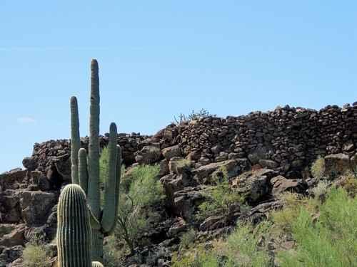
Learn more about Hyde Mountain Lo

Hyde Mountain Lo
Total Miles
2.1
Tech Rating
Easy
Best Time
Spring, Summer, Fall, Winter
Learn more about I-17 to Howard Trail

I-17 to Howard Trail
Total Miles
1.7
Tech Rating
Easy
Best Time
Summer, Fall, Spring
Learn more about I-17 to Pumphouse Wash
I-17 to Pumphouse Wash
Total Miles
3.0
Tech Rating
Easy
Best Time
Summer
Learn more about I-40 Parallel ATV Trail
I-40 Parallel ATV Trail
Total Miles
2.8
Tech Rating
Easy
Best Time
Winter, Fall, Spring
Learn more about IDE Valley Road
IDE Valley Road
Total Miles
4.6
Tech Rating
Moderate
Best Time
Fall, Spring
Learn more about Ike Tank Trail
Ike Tank Trail
Total Miles
4.6
Tech Rating
Easy
Best Time
Spring, Summer, Fall, Winter
Learn more about Imlay Dirt Airstrip Road
Imlay Dirt Airstrip Road
Total Miles
2.7
Tech Rating
Easy
Best Time
Fall, Spring
Learn more about Indian Fort
Indian Fort
Total Miles
1.1
Tech Rating
Easy
Best Time
Summer, Fall, Spring
Learn more about Indian Pass Overlook
Indian Pass Overlook
Total Miles
3.9
Tech Rating
Easy
Best Time
Spring, Summer, Fall, Winter
Learn more about Indian Tank
Indian Tank
Total Miles
8.8
Tech Rating
Easy
Best Time
Spring, Summer, Fall
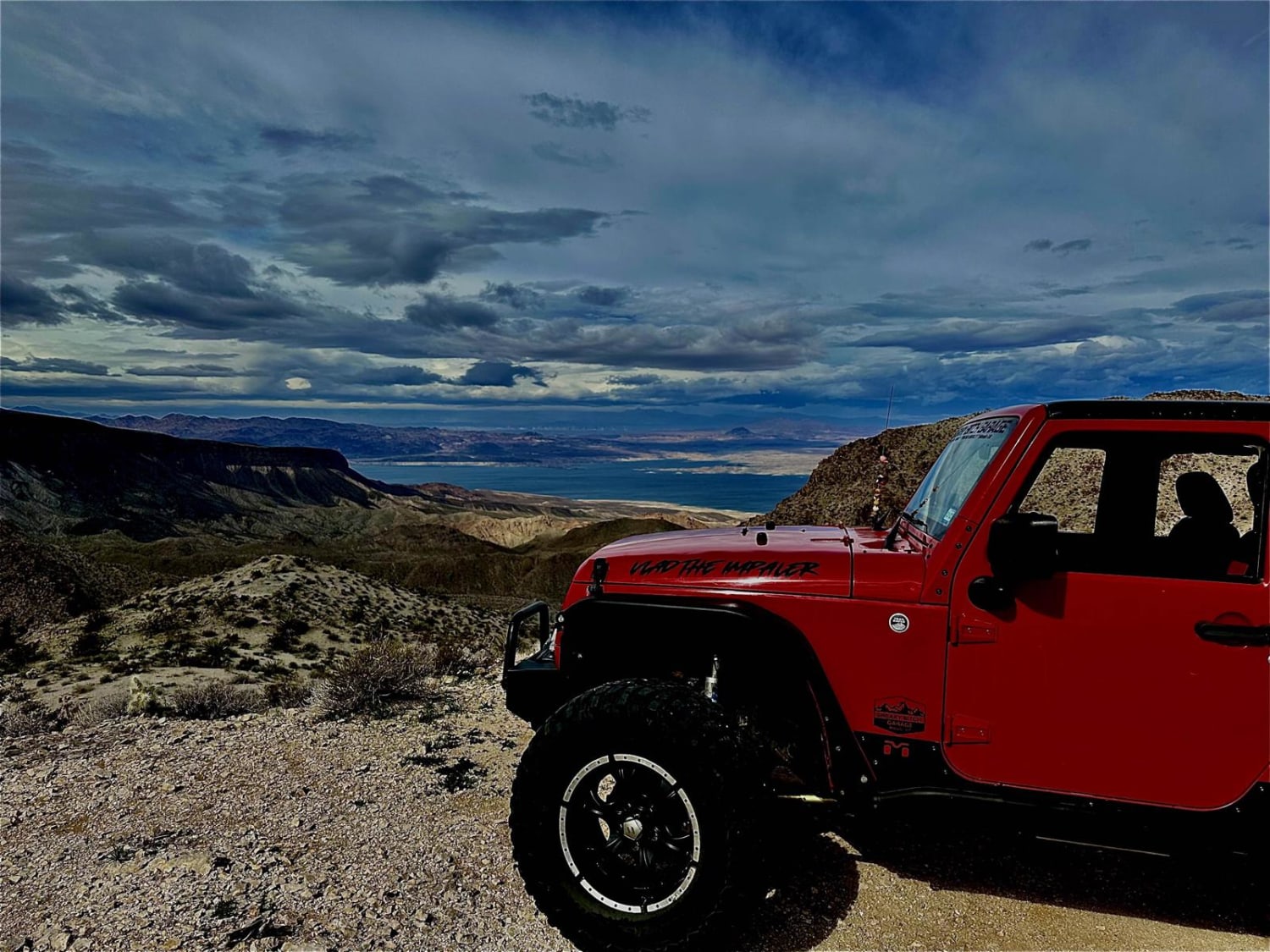
Learn more about Interstate
Interstate
Total Miles
10.6
Tech Rating
Moderate
Best Time
Spring, Summer, Fall
Learn more about Iron Mine Draw FR-196

Iron Mine Draw FR-196
Total Miles
4.2
Tech Rating
Easy
Best Time
Summer, Spring, Fall
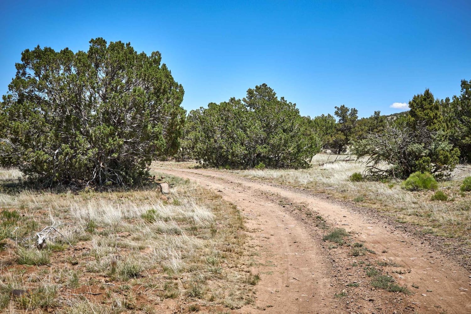
Learn more about Iron Springs Connector
Iron Springs Connector
Total Miles
1.2
Tech Rating
Moderate
Best Time
Spring, Summer, Fall
The onX Offroad Difference
onX Offroad combines trail photos, descriptions, difficulty ratings, width restrictions, seasonality, and more in a user-friendly interface. Available on all devices, with offline access and full compatibility with CarPlay and Android Auto. Discover what you’re missing today!