Off-Road Trails in Arizona
Discover off-road trails in Arizona
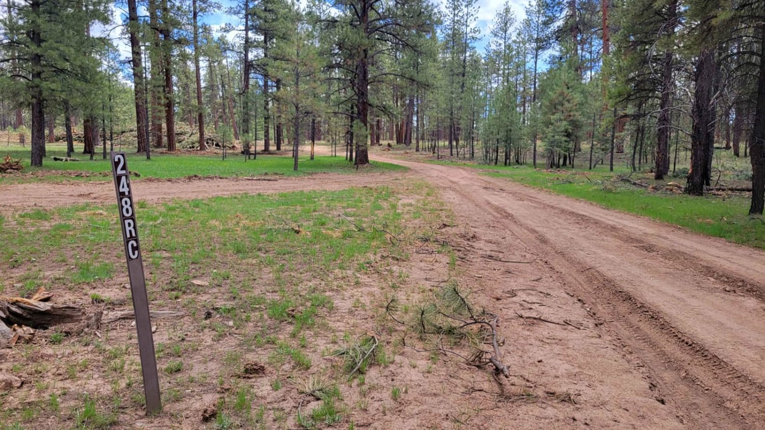
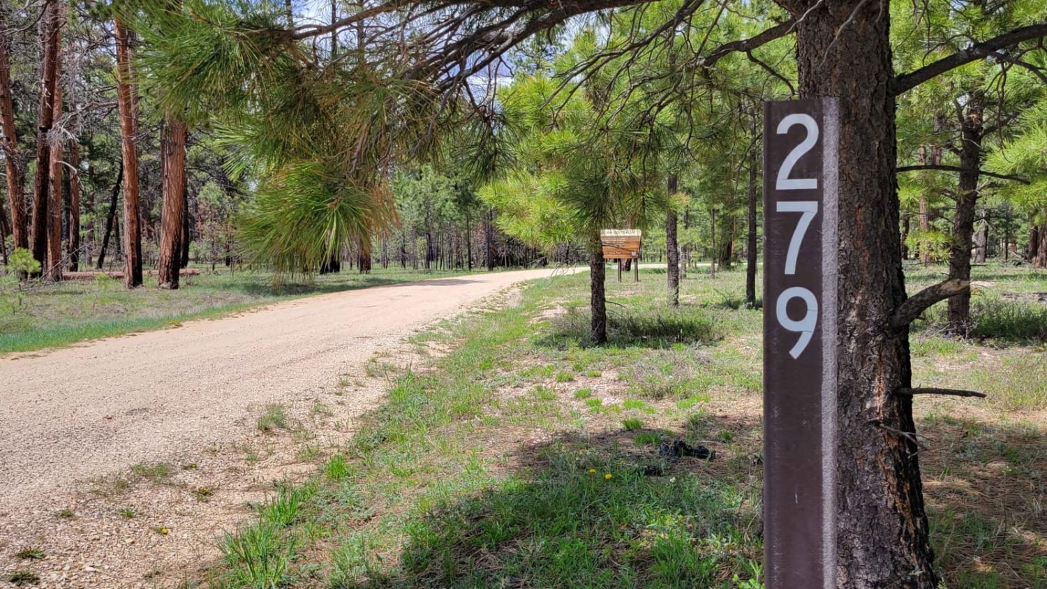
Learn more about NF-282 - Jacob Lake
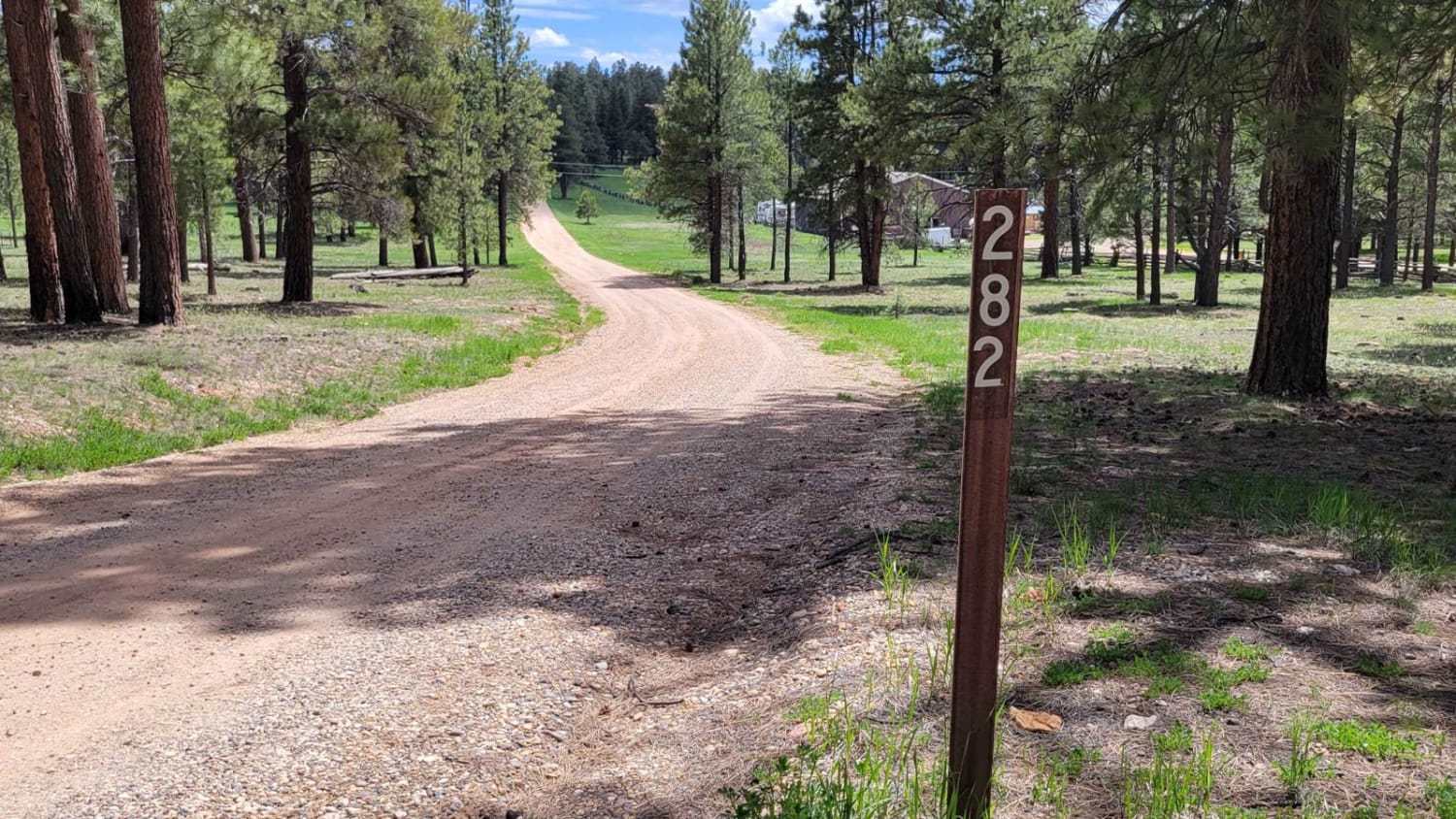
NF-282 - Jacob Lake
Total Miles
8.6
Tech Rating
Easy
Best Time
Spring, Summer, Fall
Learn more about Nixon South Road BLM 1044
Nixon South Road BLM 1044
Total Miles
4.4
Tech Rating
Easy
Best Time
Spring, Summer, Fall
Learn more about Noble Mountain
Noble Mountain
Total Miles
13.3
Tech Rating
Easy
Best Time
Spring, Summer, Fall
Learn more about North Canyon Wash (612a)

North Canyon Wash (612a)
Total Miles
1.6
Tech Rating
Easy
Best Time
Spring, Summer, Fall
Learn more about North Cascabel Road
North Cascabel Road
Total Miles
22.1
Tech Rating
Easy
Best Time
Spring, Summer, Fall, Winter
Learn more about North Dry Creek Road to Vultee
North Dry Creek Road to Vultee
Total Miles
2.0
Tech Rating
Moderate
Best Time
Spring, Summer, Fall
Learn more about North Entrance to Crown King Road
North Entrance to Crown King Road
Total Miles
10.5
Tech Rating
Easy
Best Time
Spring, Summer, Fall, Winter
Learn more about North Entrance to French Lily Mine

North Entrance to French Lily Mine
Total Miles
0.3
Tech Rating
Moderate
Best Time
Spring, Summer, Fall
Learn more about North Fork East Fork Black River Canyon
North Fork East Fork Black River Canyon
Total Miles
55.5
Tech Rating
Moderate
Best Time
Spring, Summer, Fall
Learn more about North FS 80
North FS 80
Total Miles
2.2
Tech Rating
Easy
Best Time
Spring, Summer, Fall
Learn more about North Hog Wash 9600o
North Hog Wash 9600o
Total Miles
2.6
Tech Rating
Difficult
Best Time
Spring, Summer, Fall
Learn more about North Little Grand Canyon 9994
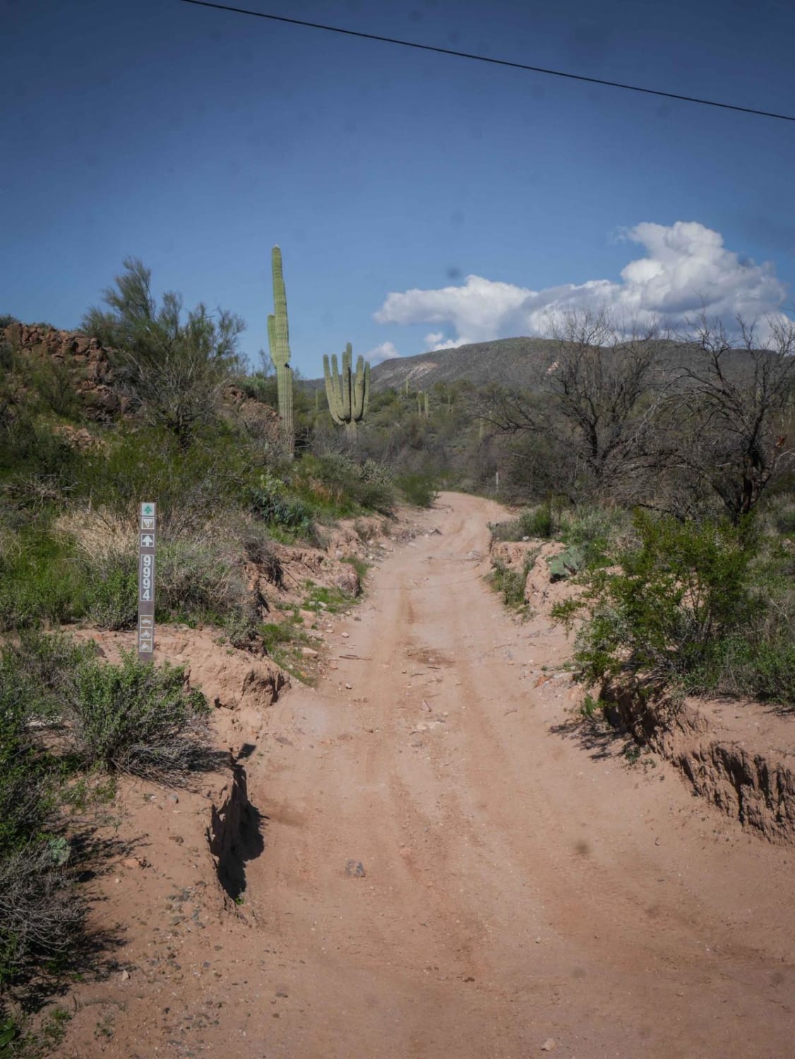
North Little Grand Canyon 9994
Total Miles
2.2
Tech Rating
Easy
Best Time
Winter, Fall, Spring
Learn more about North Mine Road to Historic Anderson Mill

North Mine Road to Historic Anderson Mill
Total Miles
5.5
Tech Rating
Easy
Best Time
Summer, Winter
Learn more about North Picacho Mountain Pass
North Picacho Mountain Pass
Total Miles
6.9
Tech Rating
Moderate
Best Time
Spring, Fall
Learn more about North Picacho Mountains Loop
North Picacho Mountains Loop
Total Miles
11.5
Tech Rating
Easy
Best Time
Spring, Fall, Winter
Learn more about North Powerline

North Powerline
Total Miles
1.8
Tech Rating
Easy
Best Time
Winter, Fall, Spring
Learn more about North Pump Station Road
North Pump Station Road
Total Miles
5.8
Tech Rating
Easy
Best Time
Spring, Summer, Fall, Winter
The onX Offroad Difference
onX Offroad combines trail photos, descriptions, difficulty ratings, width restrictions, seasonality, and more in a user-friendly interface. Available on all devices, with offline access and full compatibility with CarPlay and Android Auto. Discover what you’re missing today!