Off-Road Trails in California

Discover off-road trails in California

Learn more about 3S35J Water Tower Loop
3S35J Water Tower Loop

3S35J Water Tower Loop

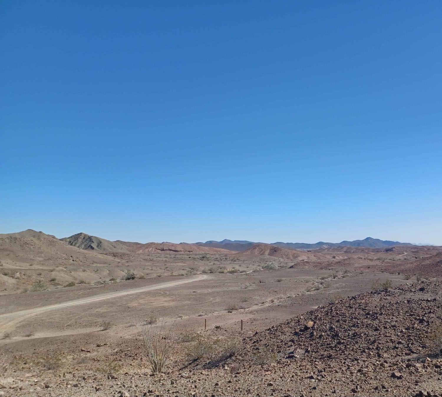
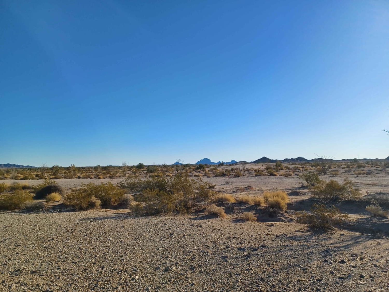
This sand trail is a fairly easy trail. It is a spur trail from various other trails. It has a couple of spots with off-camber sections. The trail is narrower in a few spots and…
Learn more about 3S35J Water Tower Loop
Total Miles
1.2
Tech Rating
2 Easy
Best Time
Summer, Spring, Fall
Learn more about 40 to 95 through Homer Mountain
40 to 95 through Homer Mountain

40 to 95 through Homer Mountain

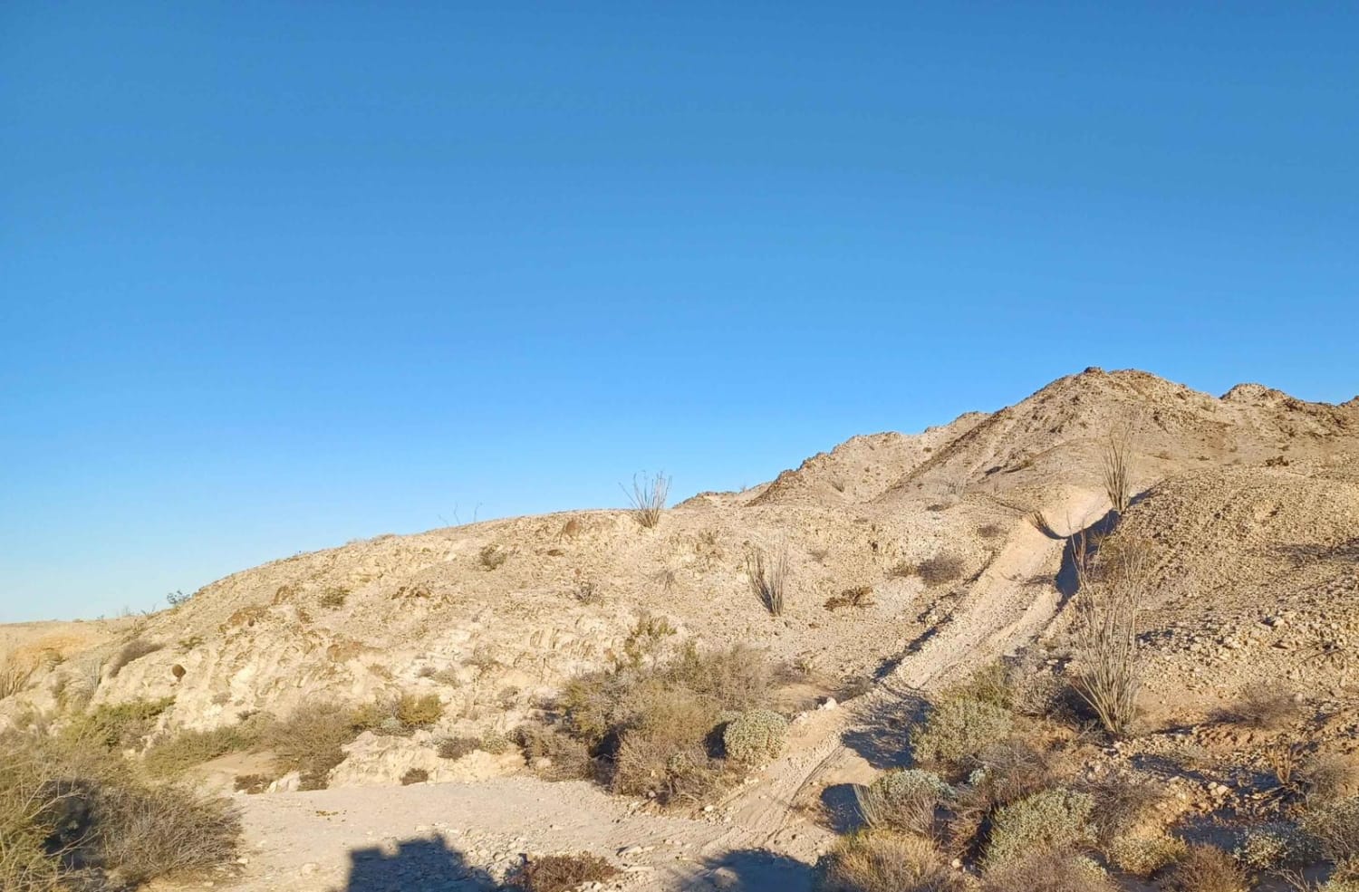
Start by exiting I-40 at Water Road and heading north on Piute Valley Trail. The first section of this is pretty high-speed stuff--50 mph or more--but use caution, as there are desert tortoises, road runners,…
Learn more about 40 to 95 through Homer Mountain
Total Miles
19.1
Tech Rating
4 Moderate
Best Time
Spring, Summer, Fall
Learn more about 4000 Foot Road
4000 Foot Road

4000 Foot Road

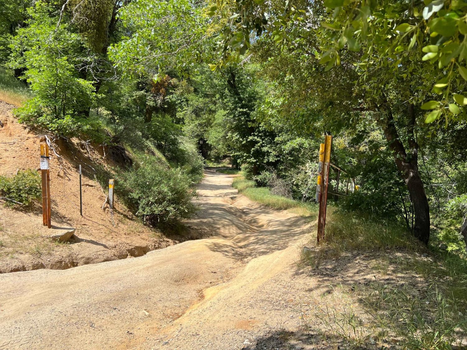
This trail is mainly dirt with shallow creek crossings. After rainfall or snow, rocks and downed trees may be potential obstacles as are deep ruts. This trail can be very easy during dry seasons as…
Learn more about 4000 Foot Road
Total Miles
2.1
Tech Rating
2 Easy
Best Time
Spring, Summer, Fall
Learn more about 4N11
4N11

4N11

The trail starts as a well-maintained road (Big Rock Creek) from the west, or Angeles Crest if starting from the east. It is a short trail, but is very scenic and has creek crossings during…
Learn more about 4N11
Total Miles
2.0
Tech Rating
3 Easy
Best Time
Spring, Summer, Fall
Learn more about 4x4 Trona Pinnacles Playground Scenic Tour
4x4 Trona Pinnacles Playground Scenic Tour

4x4 Trona Pinnacles Playground Scenic Tour

4x4 is recommended for this outer trail through the Trona Pinnacles National Conservation Area. Some of the trail is hard-packed mixed with a few rock shelves and some sandy wash crossings. There are many offshoot…
Learn more about 4x4 Trona Pinnacles Playground Scenic Tour
Total Miles
3.0
Tech Rating
4 Moderate
Best Time
Winter, Fall, Spring
Learn more about 506
506

506

Road 506 is another road that has some really cool rock writing that people have left over the years, it is a cool area to check out as well as camp. It runs through Bureau…
Learn more about 506
Total Miles
6.1
Tech Rating
2 Easy
Best Time
Summer, Spring, Fall
Learn more about 5S01 Indian Truck Trail
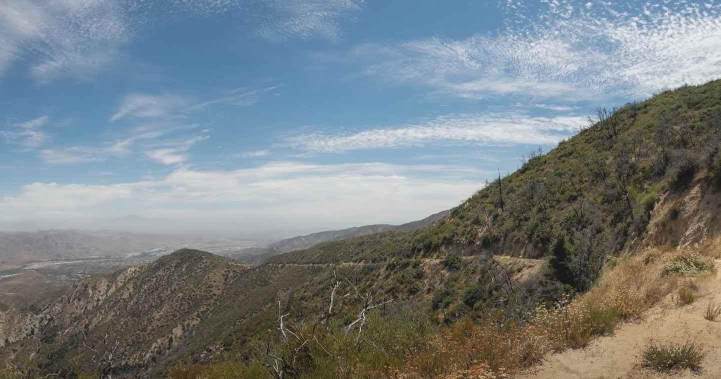
5S01 Indian Truck Trail

5S01 Indian Truck Trail

5S01 Indian Truck Trail is a 7-mile point-to-point trail rated 3 of 10 located within the Cleveland National Forest, Trabuco Ranger District. Indian Truck Trail ascends 2,500 feet over the 7-mile drive from the Temescal…
Learn more about 5S01 Indian Truck Trail
Total Miles
7.0
Tech Rating
3 Easy
Best Time
Spring, Summer, Fall, Winter
Learn more about 5S06 Idyllwild Control
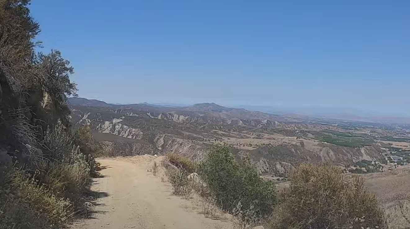
5S06 Idyllwild Control

5S06 Idyllwild Control

5S06 Idyllwild Control is a 6-mile point-to-point trail rated 3 of 10 located within the San Bernardino National Forest, San Jacinto Ranger District. 5S06 climbs from Highway 74 nearly 3,000 feet, ending at the intersection…
Learn more about 5S06 Idyllwild Control
Total Miles
6.1
Tech Rating
3 Easy
Best Time
Spring, Summer, Fall, Winter
Learn more about 62 to 40 Cut Off
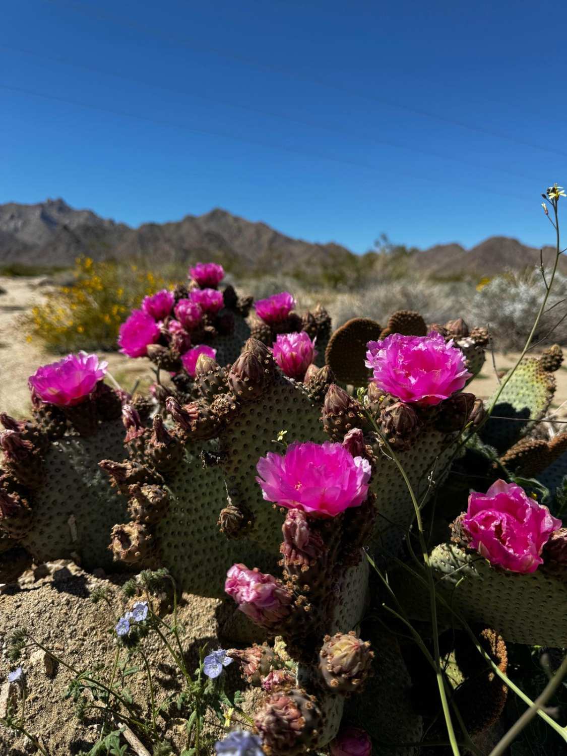
62 to 40 Cut Off

62 to 40 Cut Off

Take 62 from Joshua Tree to Cardiz Road (fill up in 29 Palms--there's no service station beyond that). Turning north off the highway onto the dirt at Cardiz Road, you're immediately greeted by the skeleton…
Learn more about 62 to 40 Cut Off
Total Miles
56.6
Tech Rating
2 Easy
Best Time
Spring, Summer, Fall
Learn more about 662
662

662

Road Number 662 is a mix surface of gravel, rock, and sand, with some sections more rutted and washed out. Some of these trails have steep inclines and some large rocks. Also, be aware this…
Learn more about 662
Total Miles
7.7
Tech Rating
3 Easy
Best Time
Spring, Fall, Summer
Learn more about 6S13 - Thomas Mountain Road
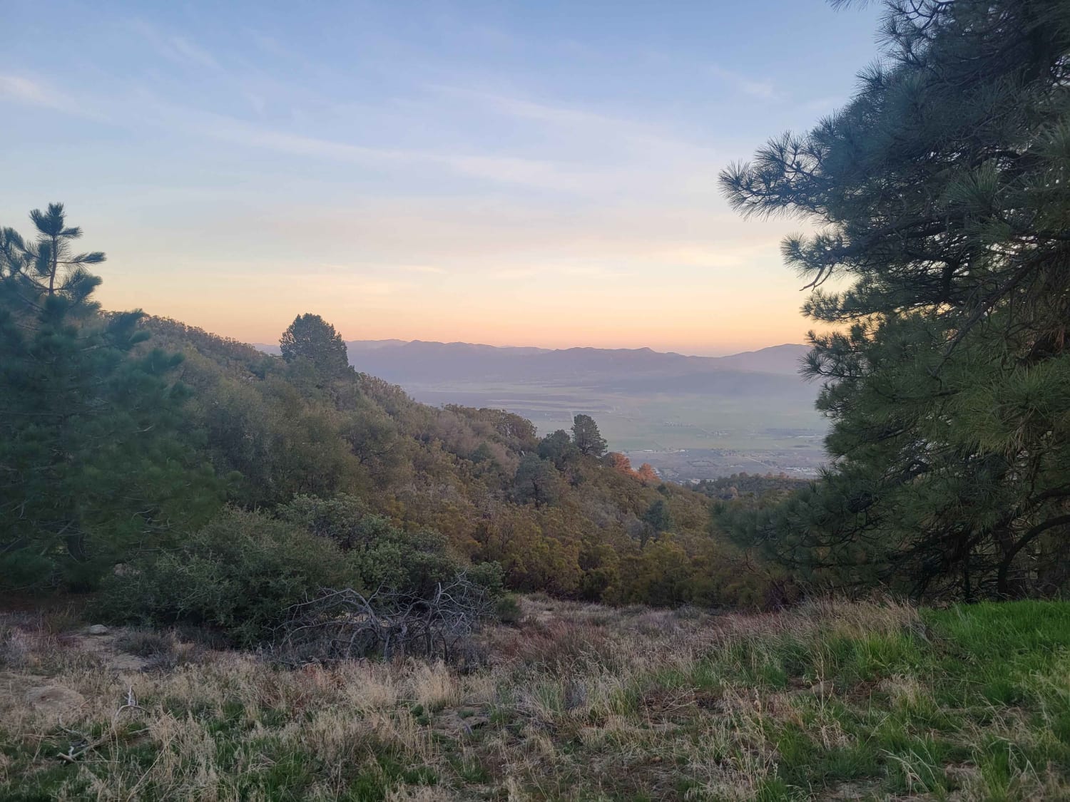
6S13 - Thomas Mountain Road

6S13 - Thomas Mountain Road

Uneven, rutted dirt trail with loose rocks and sand. Muddy conditions should be expected during the rainy season. The trail is primarily one vehicle wide with some portions wide enough for passing oncoming traffic. Steep…
Learn more about 6S13 - Thomas Mountain Road
Total Miles
8.1
Tech Rating
3 Easy
Best Time
Spring, Summer, Fall
Learn more about 852
852

852

Big open views with plenty of spots to pull over and camp. This road runs through Bureau Land Management, it is a mix surface of gravel, road, and sand, with some sections more rutted, rocky,…
Learn more about 852
Total Miles
5.5
Tech Rating
2 Easy
Best Time
Summer, Spring, Fall
Learn more about 8S05 - North Palomar Mountain Road
8S05 - North Palomar Mountain Road

8S05 - North Palomar Mountain Road

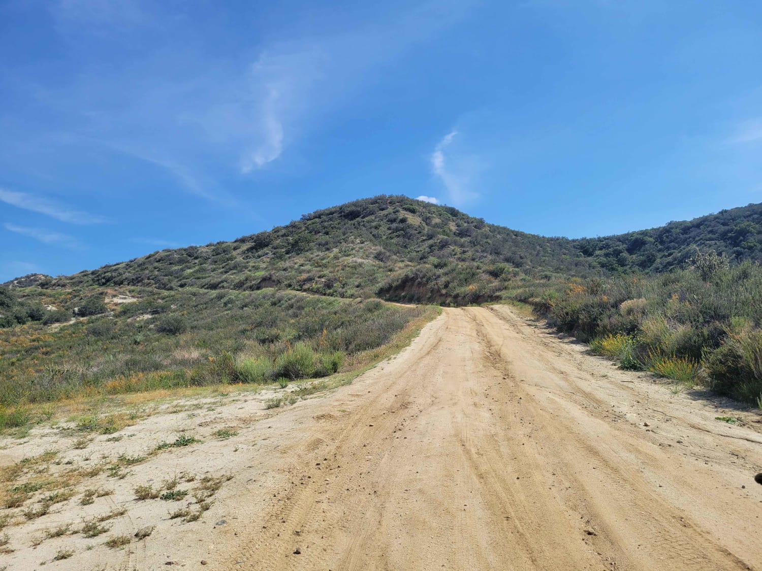
8S05 is a well-maintained service road, but you can expect large rocks, ruts, and very steep drop-offs throughout. The weather could have a significant impact on the road. Muddy conditions are likely; one should ensure…
Learn more about 8S05 - North Palomar Mountain Road
Total Miles
10.6
Tech Rating
3 Easy
Best Time
Spring
Learn more about 95 to Balancing Rock Camp
95 to Balancing Rock Camp

95 to Balancing Rock Camp

This is a slow but easy trail heading east from 95 to Balancing Rock Camp. Existing ruts and additional rain can make this trail more difficult. From 95, turn east at Old Cable Trail. Follow…
Learn more about 95 to Balancing Rock Camp
Total Miles
3.1
Tech Rating
2 Easy
Best Time
Spring, Summer, Fall
Learn more about Abandoned Old Dutch Cleanser Mine Trail
Abandoned Old Dutch Cleanser Mine Trail

Abandoned Old Dutch Cleanser Mine Trail

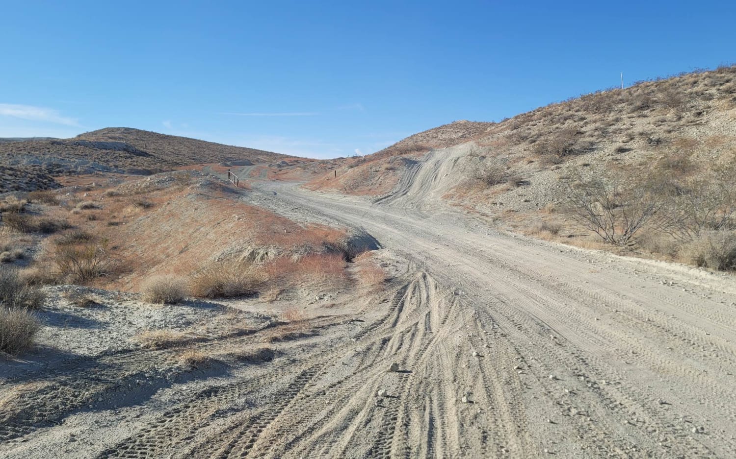
The Dutch Cleanser Mine in Red Rock Canyon State Park is the perfect place to end your adventure or have lunch when exploring the area. The Mine is massive as you can walk in and…
Learn more about Abandoned Old Dutch Cleanser Mine Trail
Total Miles
1.0
Tech Rating
2 Easy
Best Time
Spring, Summer, Fall
Learn more about Aftershock
Aftershock

Aftershock

This trail seems pretty easy until you get to the top. At the top, the main obstacle has a bypass; however, it is very off-camber and should only be attempted with low gravity rigs. While…
Learn more about Aftershock
Total Miles
1.2
Tech Rating
9 Difficult
Best Time
Spring, Summer, Fall, Winter
Learn more about Afton Canyon to the Mojave Megaphone
Afton Canyon to the Mojave Megaphone

Afton Canyon to the Mojave Megaphone

This is a short route of less than 9 miles. It starts out crossing under the train trestle and a shallow stream then climbs up and heads east along the train tracks. The trail is…
Learn more about Afton Canyon to the Mojave Megaphone
Total Miles
8.9
Tech Rating
1 Easy
Best Time
Spring, Fall, Winter
Learn more about Aiken Mine Rd
Aiken Mine Rd

Aiken Mine Rd

A 13.7 mile route through stunning Joshua Tree forest on a sand track that will take you by the remnants of an old cattle claim and the site of the famous pop culture icon -…
Learn more about Aiken Mine Rd
Total Miles
13.6
Tech Rating
3 Easy
Best Time
Spring, Summer, Fall, Winter
Learn more about Airola Meadow Loop
Airola Meadow Loop

Airola Meadow Loop

Nice views along a graded in the begging logging road. The road becomes ungraded but really good all the way back. Some brush, nothing to pinstripe your rig. Early season, may want to bring a…
Learn more about Airola Meadow Loop
Total Miles
3.4
Tech Rating
3 Easy
Best Time
Spring, Summer, Fall
Learn more about Airstrip Road to Hess Mine
Airstrip Road to Hess Mine

Airstrip Road to Hess Mine

Have you ever wondered what airstrip road near Senator's Wash was? It turns out, there is a cleared area that looks like one could take off and land an airplane; however, it is incredibly short.…
Learn more about Airstrip Road to Hess Mine
Total Miles
2.8
Tech Rating
4 Moderate
Best Time
Spring, Fall
1 2 3 4 5 6 7 8 9 10 ... 38

The onX Offroad Difference

onX Offroad combines trail photos, descriptions, difficulty ratings, width restrictions, seasonality, and more in a user-friendly interface. Available on all devices, with offline access and full compatibility with CarPlay and Android Auto. Discover what you’re missing today!