Off-Road Trails in California

Discover off-road trails in California
Trail Length
Best Time of Year
Sort By
We can’t find any trails
Learn more about Artesian Trail

Artesian Trail
Total Miles
4.0
Tech Rating
Easy
Best Time
Spring, Summer, Fall, Winter
Learn more about Augie's Way

Augie's Way
Total Miles
13.5
Tech Rating
Moderate
Best Time
Summer, Fall, Spring
Learn more about Aurora Cutoff R14

Aurora Cutoff R14
Total Miles
1.4
Tech Rating
Easy
Best Time
Summer, Spring, Fall
Learn more about Austin Meadows

Austin Meadows
Total Miles
8.0
Tech Rating
Easy
Best Time
Summer, Fall
Learn more about Back to Where Ya Came From
Back to Where Ya Came From
Total Miles
2.7
Tech Rating
Moderate
Best Time
Winter, Fall, Spring
Learn more about Back Way to Schmidt Tunnel
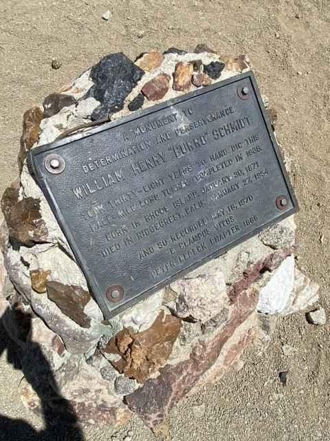
Back Way to Schmidt Tunnel
Total Miles
9.0
Tech Rating
Easy
Best Time
Spring, Fall, Winter
Learn more about Backdoor

Backdoor
Total Miles
0.1
Tech Rating
Difficult
Best Time
Spring, Summer, Fall, Winter
Learn more about Bailey Canyon
Bailey Canyon
Total Miles
16.2
Tech Rating
Moderate
Best Time
Spring, Summer, Fall
Learn more about Balancing Boulder Camp to Needles Highway
Balancing Boulder Camp to Needles Highway
Total Miles
7.6
Tech Rating
Easy
Best Time
Spring, Fall, Summer
Learn more about Bald Mountain
Bald Mountain
Total Miles
8.3
Tech Rating
Difficult
Best Time
Spring, Summer, Fall, Winter
Learn more about Bank Wash
Bank Wash
Total Miles
7.1
Tech Rating
Easy
Best Time
Spring, Summer, Fall, Winter
Learn more about Barker Meadows OHV Trail
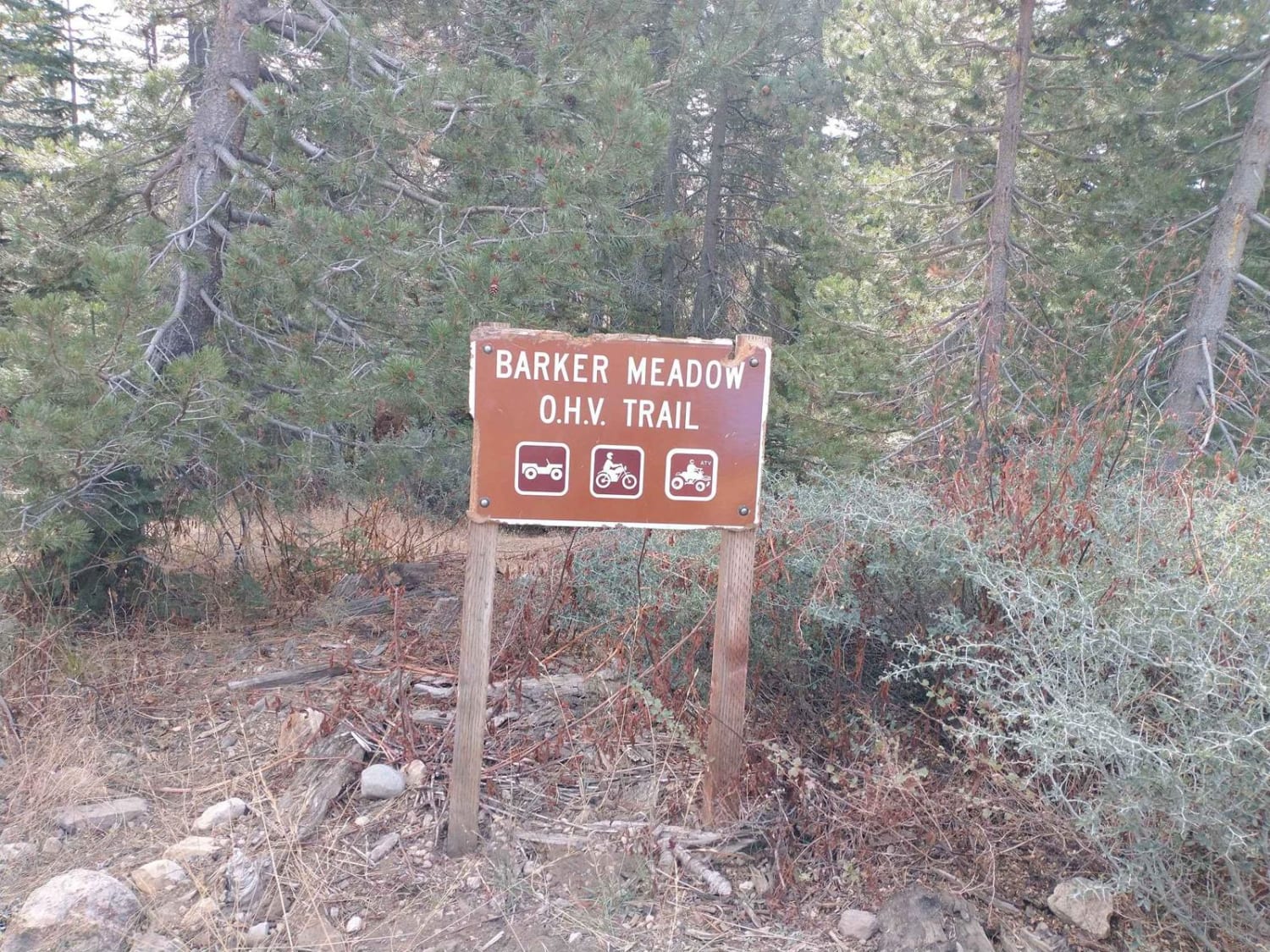
Barker Meadows OHV Trail
Total Miles
1.8
Tech Rating
Moderate
Best Time
Summer, Fall
Learn more about Barney Oldfield Road
Barney Oldfield Road
Total Miles
16.8
Tech Rating
Easy
Best Time
Spring, Summer, Fall
Learn more about Barrett Lake Jeep Trail - 16E21
Barrett Lake Jeep Trail - 16E21
Total Miles
5.4
Tech Rating
Difficult
Best Time
Fall
Learn more about Bartlett Springs Road
Bartlett Springs Road
Total Miles
10.1
Tech Rating
Easy
Best Time
Fall, Summer, Spring, Winter
Learn more about Basin Wash
Basin Wash
Total Miles
2.9
Tech Rating
Easy
Best Time
Spring, Summer, Fall, Winter

Learn more about Beach Ridge Trail
Beach Ridge Trail
Total Miles
6.7
Tech Rating
Easy
Best Time
Summer
The onX Offroad Difference
onX Offroad combines trail photos, descriptions, difficulty ratings, width restrictions, seasonality, and more in a user-friendly interface. Available on all devices, with offline access and full compatibility with CarPlay and Android Auto. Discover what you’re missing today!