Off-Road Trails in Colorado
Discover off-road trails in Colorado
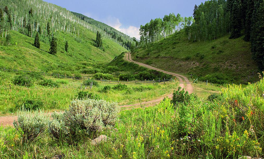
Learn more about Hay Park (#729)
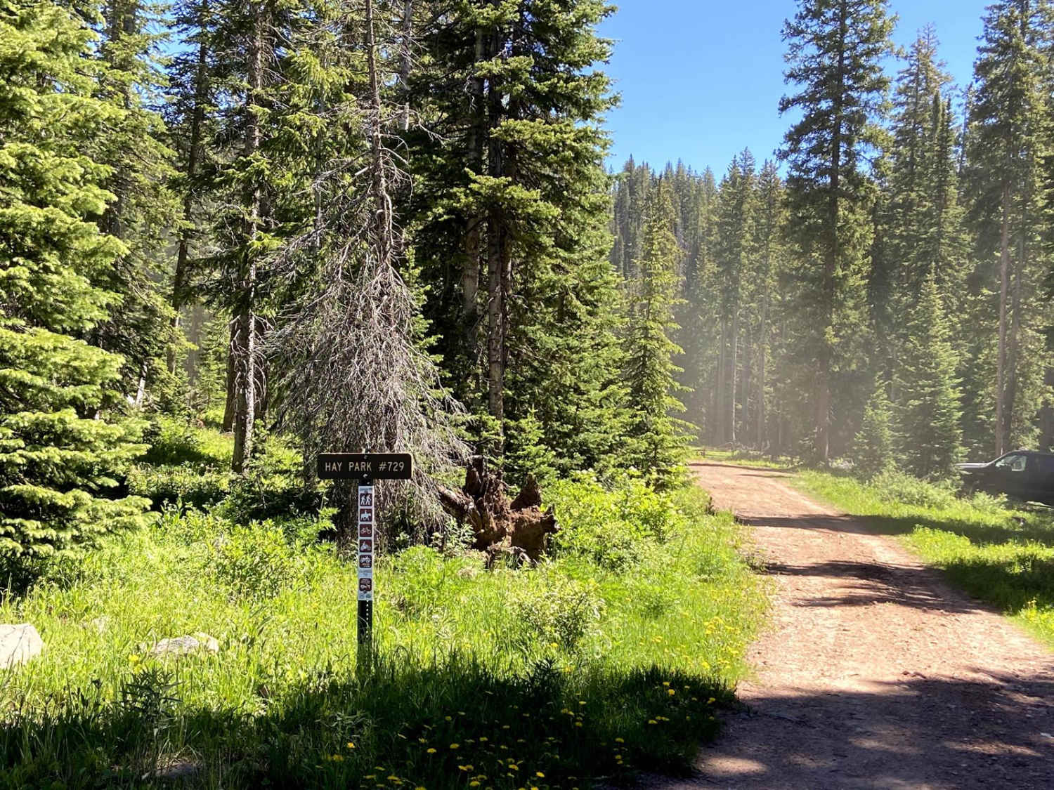
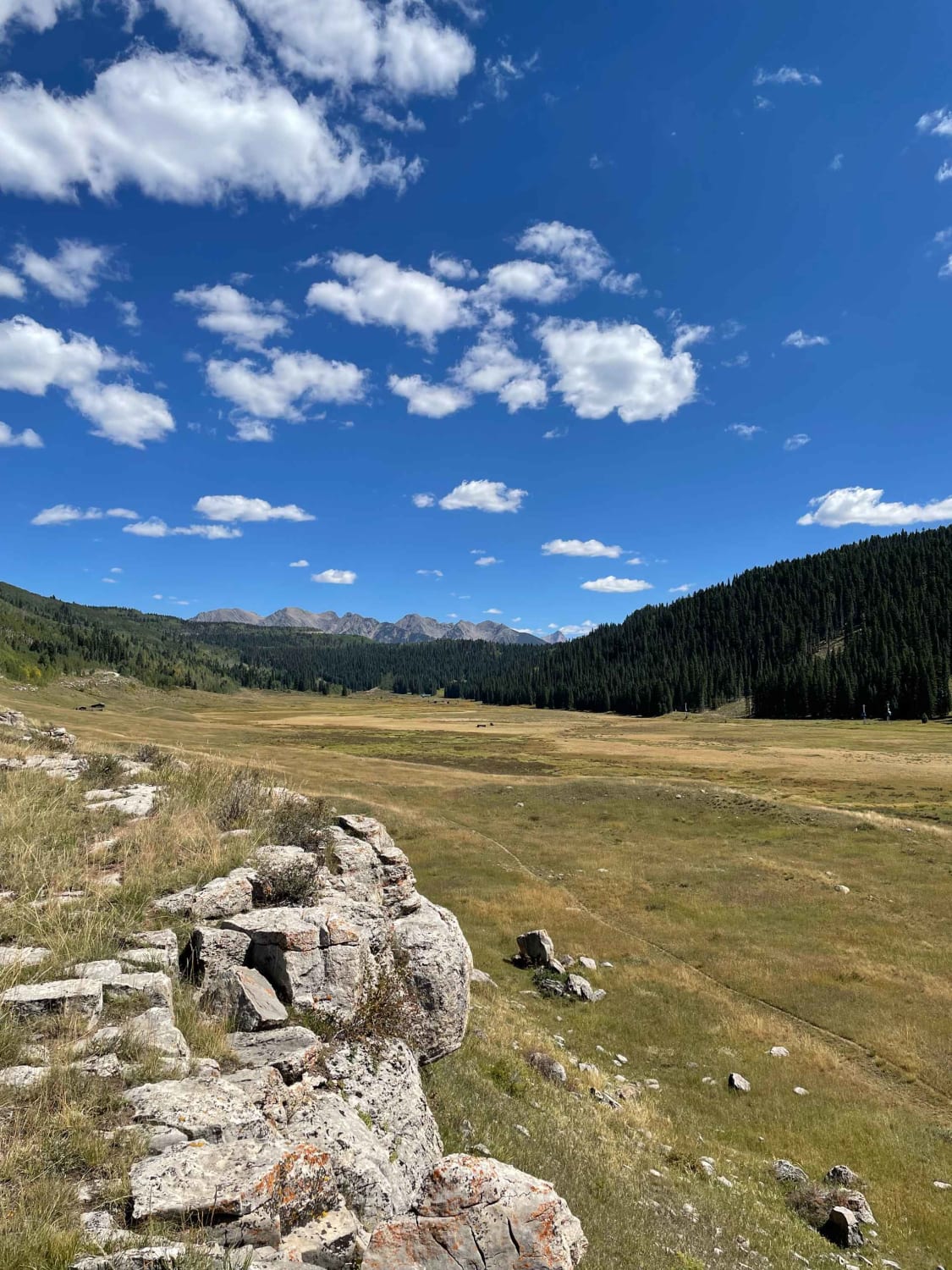
Hay Park (#729)
Total Miles
1.6
Tech Rating
Easy
Best Time
Summer, Fall
Learn more about Hayden Archer Connector
Hayden Archer Connector
Total Miles
0.8
Tech Rating
Easy
Best Time
Fall, Summer
Learn more about Hayden Pass
Hayden Pass
Total Miles
16.1
Tech Rating
Moderate
Best Time
Summer, Fall
Learn more about Hecla Junction - Arkansas River Headwaters
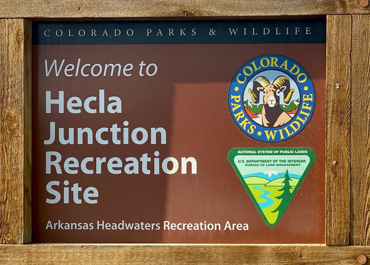
Hecla Junction - Arkansas River Headwaters
Total Miles
3.1
Tech Rating
Easy
Best Time
Spring, Summer, Fall
Learn more about Helmet Peak
Helmet Peak
Total Miles
5.1
Tech Rating
Easy
Best Time
Summer, Spring, Fall
Learn more about Hermosa Creek
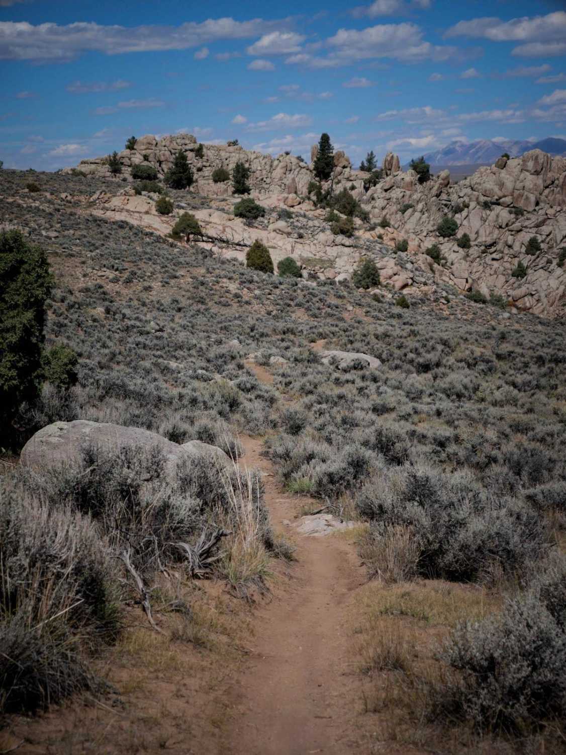
Hermosa Creek
Total Miles
9.2
Tech Rating
Moderate
Best Time
Summer, Fall
Learn more about Hermosa Park
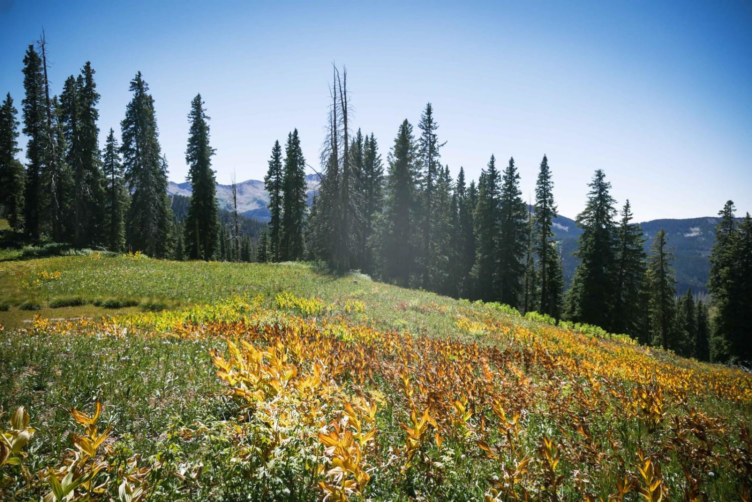
Hermosa Park
Total Miles
8.4
Tech Rating
Easy
Best Time
Spring, Summer, Fall
Learn more about High Five
High Five
Total Miles
0.4
Tech Rating
Easy
Best Time
Spring, Summer, Fall
Learn more about High Park Road FR 441

High Park Road FR 441
Total Miles
4.1
Tech Rating
Moderate
Best Time
Summer, Fall
Learn more about Highway One (Part One)
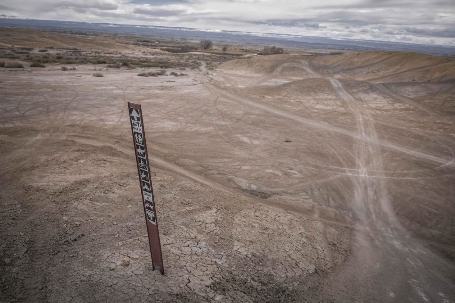
Highway One (Part One)
Total Miles
1.7
Tech Rating
Easy
Best Time
Fall, Spring
Learn more about Highway One (Part Two)

Highway One (Part Two)
Total Miles
2.9
Tech Rating
Easy
Best Time
Fall, Spring
Learn more about Highway Ridge

Highway Ridge
Total Miles
2.6
Tech Rating
Easy
Best Time
Fall, Spring
Learn more about Hillside Connector
Hillside Connector
Total Miles
0.5
Tech Rating
Moderate
Best Time
Summer
Learn more about Hillside Drive
Hillside Drive
Total Miles
16.7
Tech Rating
Easy
Best Time
Spring, Summer, Fall
Learn more about Historic Bachelor Loop Fr 503 - 504
Historic Bachelor Loop Fr 503 - 504
Total Miles
15.1
Tech Rating
Easy
Best Time
Spring, Summer, Fall
Learn more about Historic Waldorf Wagon Road

Historic Waldorf Wagon Road
Total Miles
3.3
Tech Rating
Moderate
Best Time
Summer, Fall
Learn more about Hockett Gulch
Hockett Gulch
Total Miles
1.5
Tech Rating
Easy
Best Time
Fall, Summer, Spring
Learn more about Holly Terror Road - FS 703

Holly Terror Road - FS 703
Total Miles
4.8
Tech Rating
Moderate
Best Time
Summer, Fall
The onX Offroad Difference
onX Offroad combines trail photos, descriptions, difficulty ratings, width restrictions, seasonality, and more in a user-friendly interface. Available on all devices, with offline access and full compatibility with CarPlay and Android Auto. Discover what you’re missing today!